De Zwerver
Netherlands
2020
Netherlands
2020
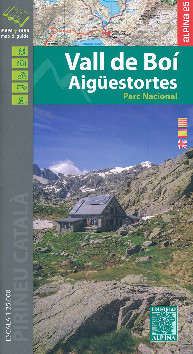
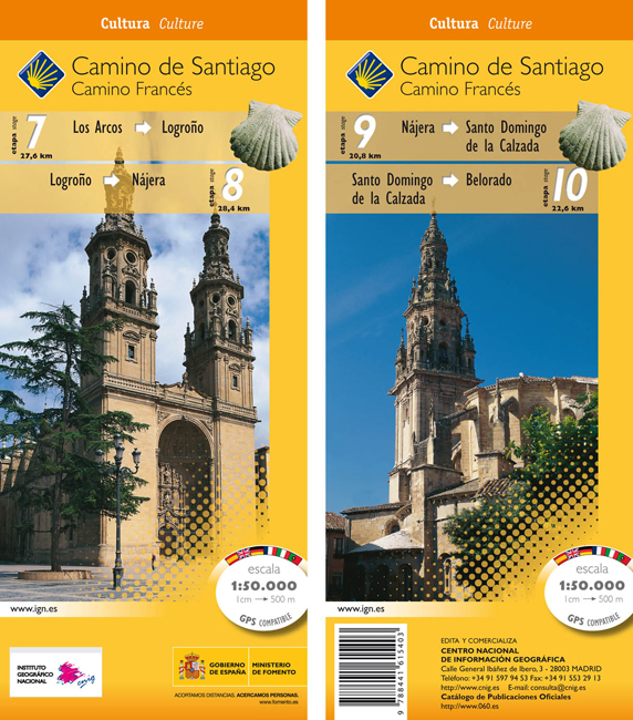
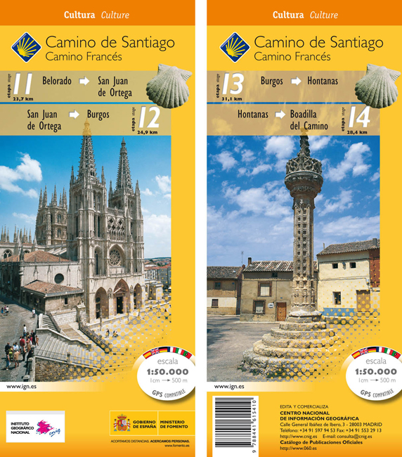
- Wandelatlas - Pelgrimsroute (kaart) 160 Camino de Santiago | Michelin
- Parcourez le Chemin Français (Camino Francés) avec ce petit atlas de poche Michelin. L'outil idéal pour mieux s'y retrouver lors de la préparation du voyage de randonnée sur ce sentier historique qui part de Saint-Jean-Pied-de-Port, dans le Pays basque français, et qui traverse tout le nord de l'Espagne... Read more