De Zwerver
Netherlands
Netherlands
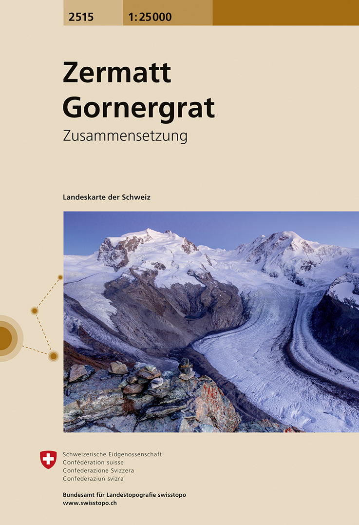
- Wandelkaart - Topografische kaart 1327 Evolène | Swisstopo
- Zeer gedetailleerde wandelkaart van een deel van Zwitserland. De topografische details van deze kaarten zijn onovertroffen; de werkelijkheid is perfect weergegeven op deze kaart van uitzonderlijk hoog niveau. Ze zijn geschikt voor alle soorten gebruik: voor eenvoudige wandeltochten in simpel terrein tot zware bergtochten en beklimmingen van de... Read more
- Also available from:
- Stanfords, United Kingdom
Stanfords
United Kingdom
United Kingdom
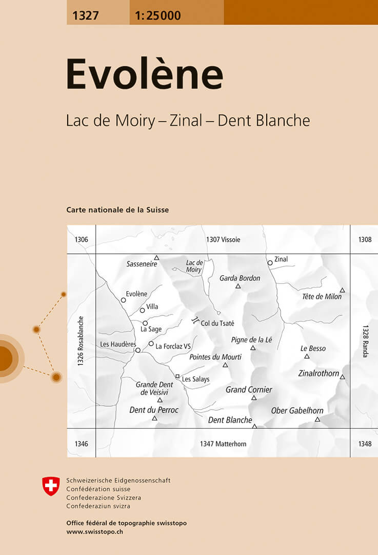
- Evolène Swisstopo 1327
- Map No. 1327, Evolène, in the topographic survey of Switzerland at 1:25,000 from Swisstopo, with coverage extending from Zinal southwards to Dent Blanche and including in its western half the upper part of Val d’Hérens with La Forclaz and Les Haudères, plus part of the Arolla Valley.Swiss topographic survey at 1:25,000 covers the whole country... Read more