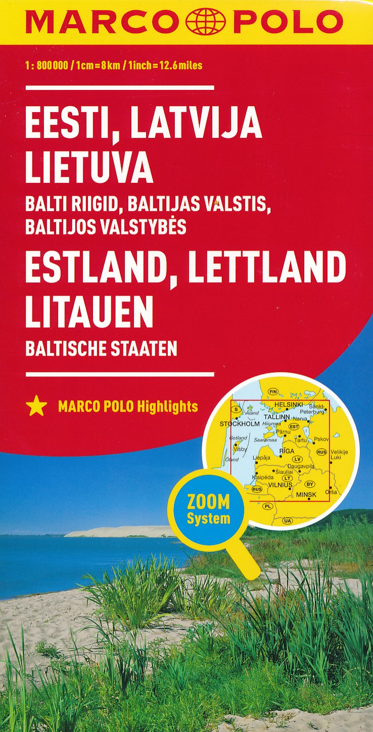
MARCO POLO Länderkarte Estland, Lettland, Litauen, Baltische Staaten 1: 800 000 ab 11.99 EURO Übersichtskarte zum Ausklappen, Entfernungstabelle, Ortsregister, 3 Citypläne Marco Polo Karte Marco Polo Länderkarte. 5. Auflage, Laufzeit bis 2021Read more
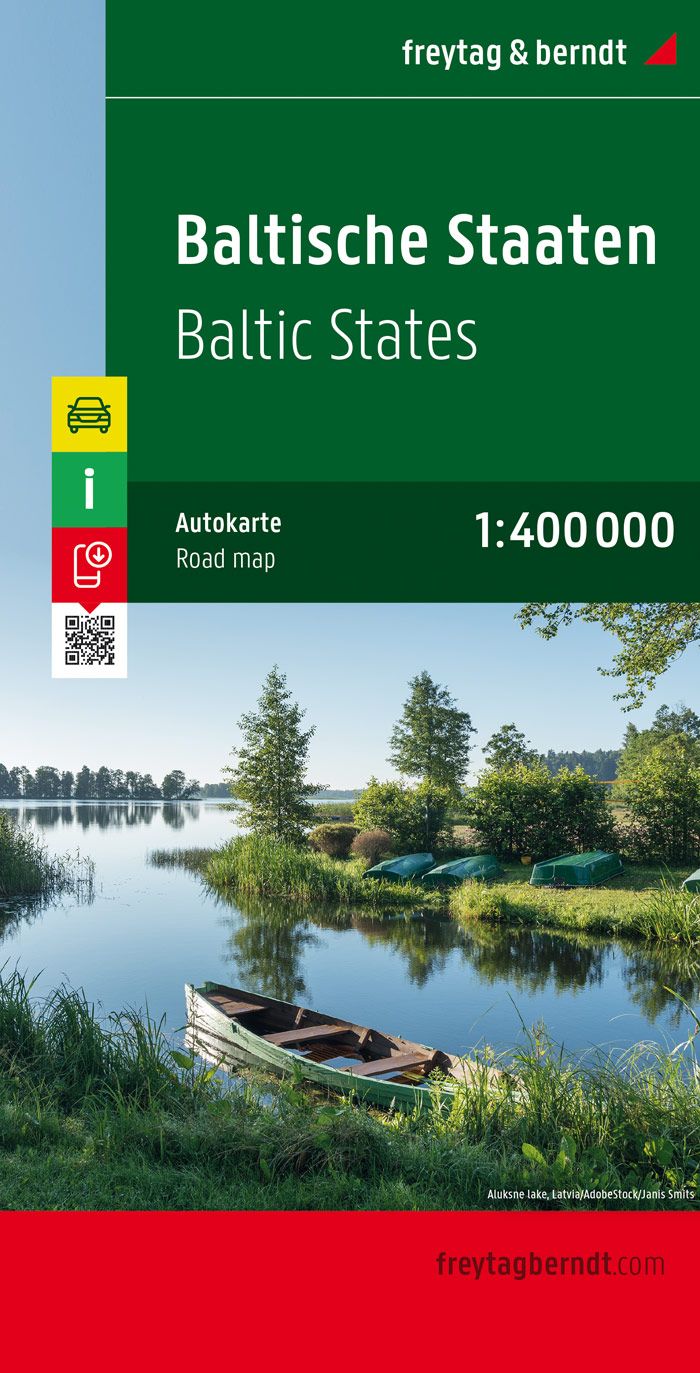
Baltische Staaten / Baltic States 1 : 400 000 Autokarte ab 10.9 EURO Estland - Lettland - Litauen. Citypläne. Touristische Informationen. Ortsregister mit Postleitzahlen Freytag & Berndt Autokarte. NeuauflageRead more
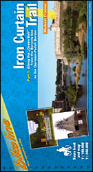
Iron Curtain Cycle Trail Part 1, a 3500-km long northern section from the Barents Sea to the Polish/German border, in an English language guide from Verlag Esterbauer with mapping highlighting the route and its variants and extensive information conveyed by symbols indicating road surface, campsites and other accommodation, repair workshops,...Read more
Iron Curtain Cycle Trail Part 1, a 3500-km long northern section from the Barents Sea to the Polish/German border, in an English language guide from Verlag Esterbauer with mapping highlighting the route and its variants and extensive information conveyed by symbols indicating road surface, campsites and other accommodation, repair workshops,...Read more
The most detailed map of Kurzeme - Western Latvia by Jana Seta at 1:100,000 scale. Laminated, spiral bound.Includes:- Nature trails- Cycling routes- Tourist information in LatvianRead more
This first edition has been prepared using the latest aerial photographs available, latest cartographic and address information and field survey dataRoad network and housing layouts have been precisely updated, tourism and service objects are given, as well as the nature protection territories, forests and hydrography.We hold we have created...Read more
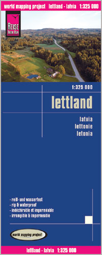
One of the titles in a series of detailed touring maps of Latvia with street plans of main towns. The maps, produced by Baltic States’ leading cartographic publisher, Riga based Jana Seta, show the country’s road network indicating unsurfaced roads and mark locations of petrol stations. Railway lines are shown with stations. Symbols highlight...Read more
The most detailed map of Zemgale - Southern Latvia by Jana Seta at 1:100,000 scale. Laminated, spiral bound.Includes:- Nature trails- Cycling routes- Tourist information in LatvianRead more
The most detailed map of Vidzeme - Northern Latvia by Jana Seta at 1:100,000 scale. Laminated, spiral bound.Includes:- Nature trails- Cycling routes- Tourist information in LatvianRead more
Latvia Road Atlas from the Riga based Jana Seta, in an A4 paperback format with enlargements at 1:100,000 for national parks and environs of main towns, plus over 100 indexed street plans. The main section covers the whole of Latvia at 1:200,000, showing detailed classification of road network with petrol stations, and railway lines with stops....Read more
The most detailed map of Latgale - Eastern Latvia by Jana Seta at 1:100,000 scale. Laminated, spiral bound.Includes:- Nature trails- Cycling routes- Tourist information in LatvianRead more