De Zwerver
Netherlands
Netherlands
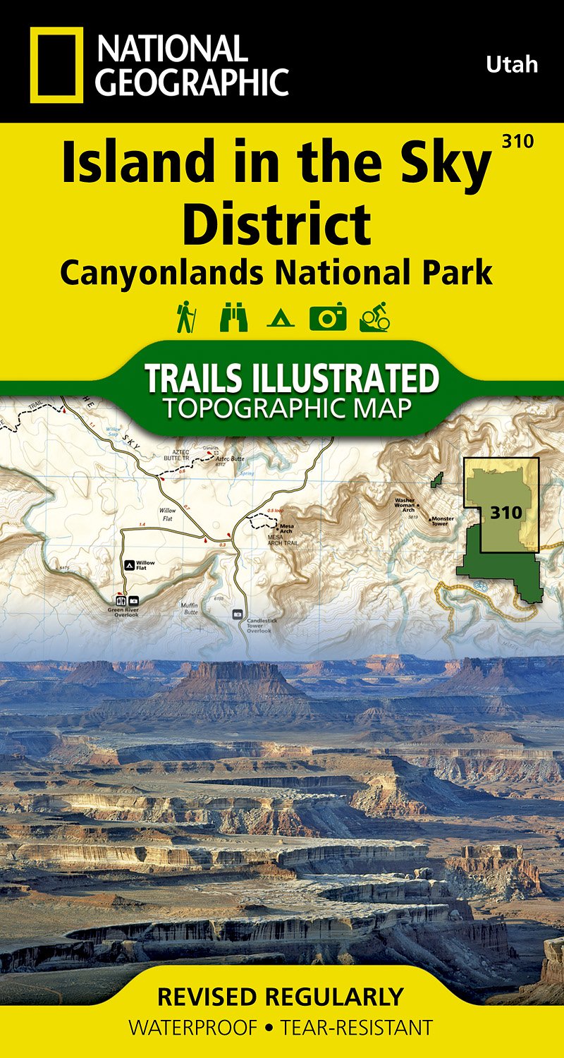
- Wandelkaart - Topografische kaart 311 Needles District - Canyonlands National Park | National Geographic
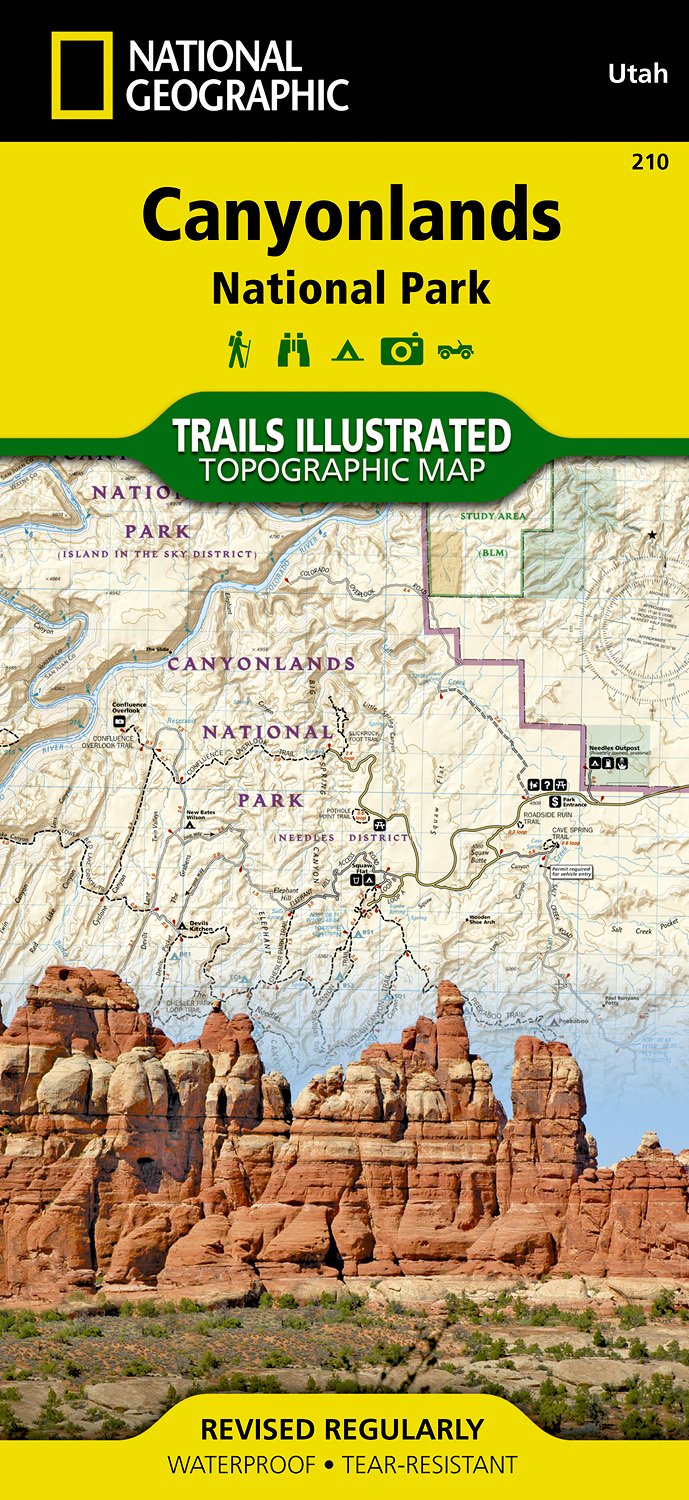
- Prachtige geplastificeerde kaart van het bekende nationaal park. Met alle recreatieve voorzieningen als campsites, maar ook met topografische details en wandelroutes ed. Door uitgekiend kleurgebruik zeer prettig in gebruik. Scheur en watervast! This sectional map of Canyonlands National Park zooms in on the Island in the Sky District in the... Read more
- Also available from:
- Bol.com, Netherlands
- Bol.com, Belgium
- Stanfords, United Kingdom
- The Book Depository, United Kingdom
Bol.com
Netherlands
Netherlands
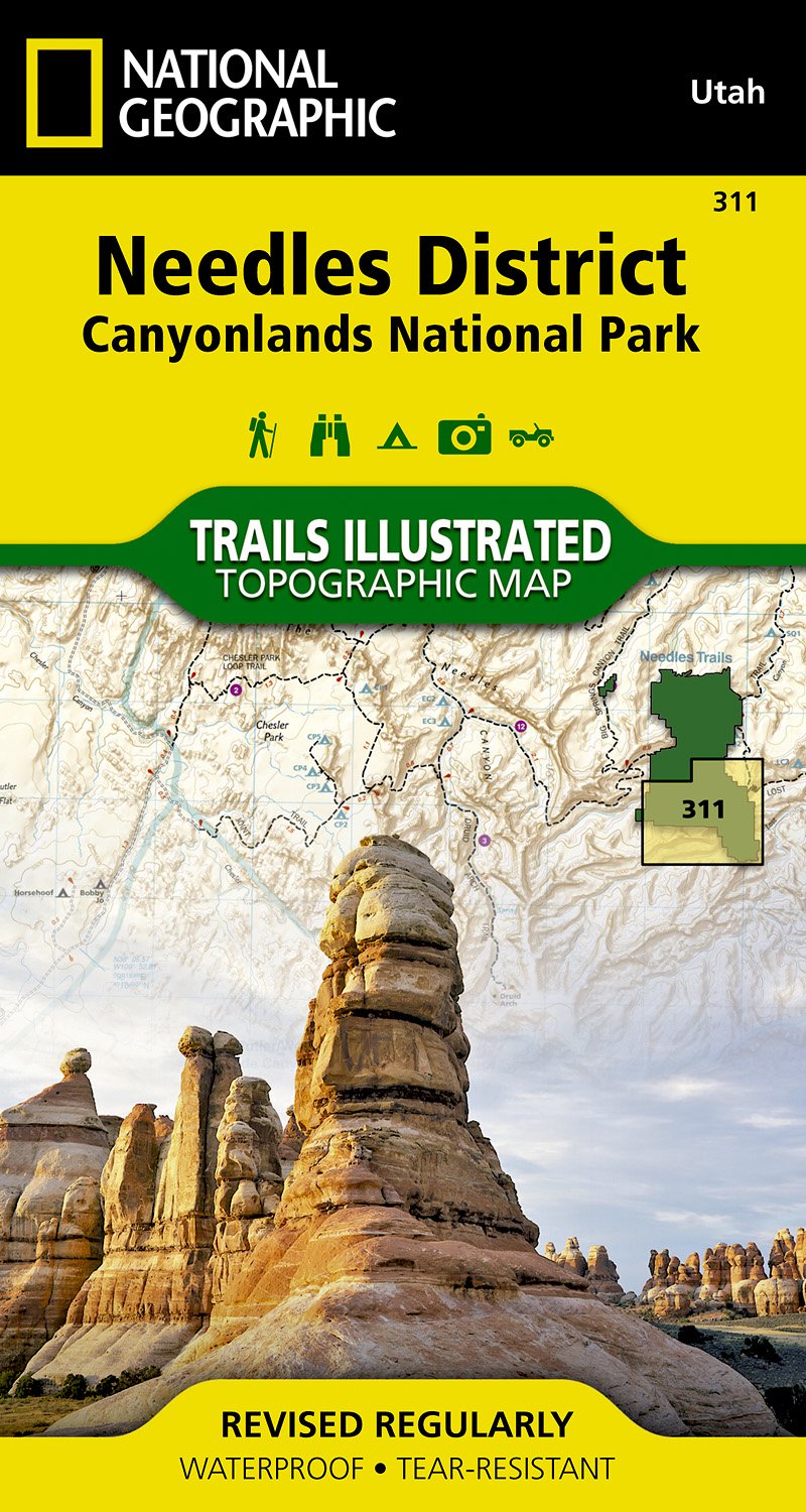
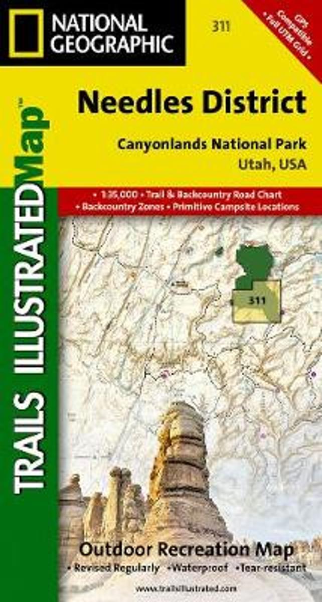
- Canyonlands - Needles District
- Waterproof Tear-Resistant Topographic MapThis sectional map of Canyonlands National Park zooms in on the Island in the Sky District in the northern area of the park. This map provides more detail of this area than the full Canyonlands National Park map with an enhanced scale. The map includes trail and backcountry road charts, backcountry... Read more
Bol.com
Belgium
Belgium
- Canyonlands - Needles District
- Waterproof Tear-Resistant Topographic MapThis sectional map of Canyonlands National Park zooms in on the Island in the Sky District in the northern area of the park. This map provides more detail of this area than the full Canyonlands National Park map with an enhanced scale. The map includes trail and backcountry road charts, backcountry... Read more

Stanfords
United Kingdom
United Kingdom
- Needles District - Canyonlands UT
- Map No. 311, Canyonlands: Needles District, UT, in an extensive series of GPS compatible, contoured hiking maps of USA’s national and state parks or forests and other popular recreational areas. Cartography based on the national topographic survey, with additional tourist information.The maps, with most titles now printed on light, waterproof... Read more

The Book Depository
United Kingdom
United Kingdom
- Canyonlands - Needles District
- Trails Illustrated National Parks Read more