De Zwerver
Netherlands
Netherlands
- Wandelkaart 18 Discoverer Enniskillen | Ordnance Survey Northern Ireland
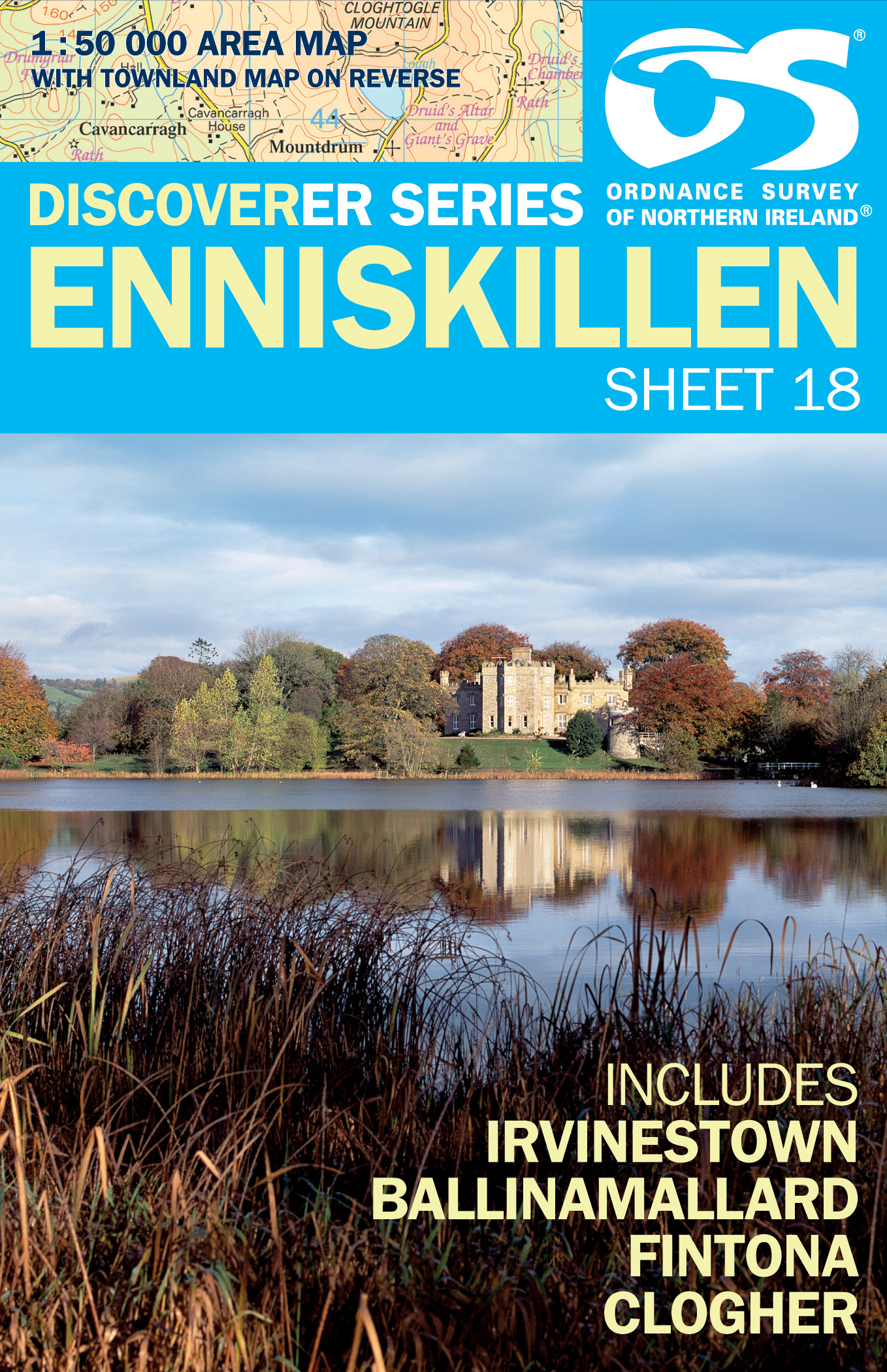
- Enniskillen, map No. 18 in the Discoverer series from the Ordnance Survey of Northern Ireland presenting the country on detailed topographic maps at 1:50,000 with waymarked hiking trails, Sustrans National Cycle Network and other tourist information. Coverage includes Irvinestown, Ballinamallard, Fintona and Clogher. Current edtion E;... Read more
- Also available from:
- Stanfords, United Kingdom

Stanfords
United Kingdom
United Kingdom
- Enniskillen OSNI Discovery 18
- Enniskillen, map No. 18 in the Discoverer series from the Ordnance Survey of Northern Ireland presenting the country on detailed topographic maps at 1:50,000 with waymarked hiking trails, Sustrans National Cycle Network and other tourist information. Coverage includes Irvinestown, Ballinamallard, Fintona and Clogher. Current edtion E;... Read more