
De Zwerver
Netherlands
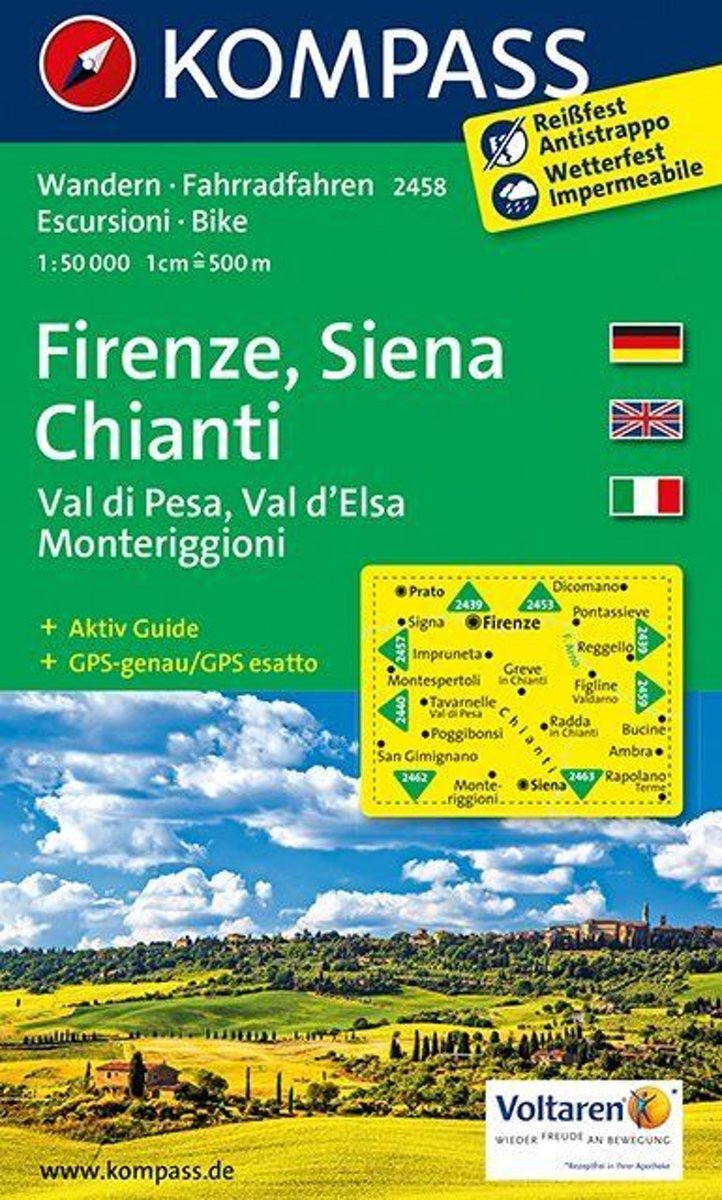
- Wandelkaart 2458 Firenze - Siena - Chianti | Kompass
- Florence - Siena - Chianti area on a double-sided map at 1:50,000 from Kompass, printed on durable, waterproof and tear-resistant synthetic paper. Coverage includes Val di Pesa, Val d’Elsa, Monteriggioni, etc. Contours are at 40m intervals, with a 2-km UTM grid. Extensive overprint includes GEA - Grande Escursione Appenninica, Sentiero Italia,... Read more

Stanfords
United Kingdom
- Florence - Siena - Chianti Kompass 2458
- Florence - Siena - Chianti area on a double-sided map at 1:50,000 from Kompass, printed on durable, waterproof and tear-resistant synthetic paper. Coverage includes Val di Pesa, Val d’Elsa, Monteriggioni, etc. Contours are at 40m intervals, with a 2-km UTM grid. Extensive overprint includes GEA - Grande Escursione Appenninica, Sentiero Italia,... Read more
Bol.com
Netherlands
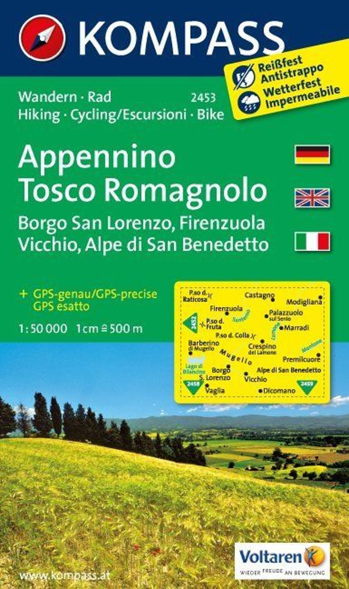
- Appennino Tosco-Romagnolo WK2453
- Deze kaart is ideaal voor het uitstippelen van wandel- en fietsroutes en om onderweg te gebruiken • goed leesbare kaart met heel veel topografische details • duidelijke symbolen maken de kaart extra overzichtelijk • wandel- en fietsroutes zijn aangegeven • praktische informatie over de regio • bruikbaar met GPS • nuttige informatie voor... Read more
Bol.com
Belgium
- Appennino Tosco-Romagnolo WK2453
- Deze kaart is ideaal voor het uitstippelen van wandel- en fietsroutes en om onderweg te gebruiken • goed leesbare kaart met heel veel topografische details • duidelijke symbolen maken de kaart extra overzichtelijk • wandel- en fietsroutes zijn aangegeven • praktische informatie over de regio • bruikbaar met GPS • nuttige informatie voor... Read more
Bol.com
Netherlands
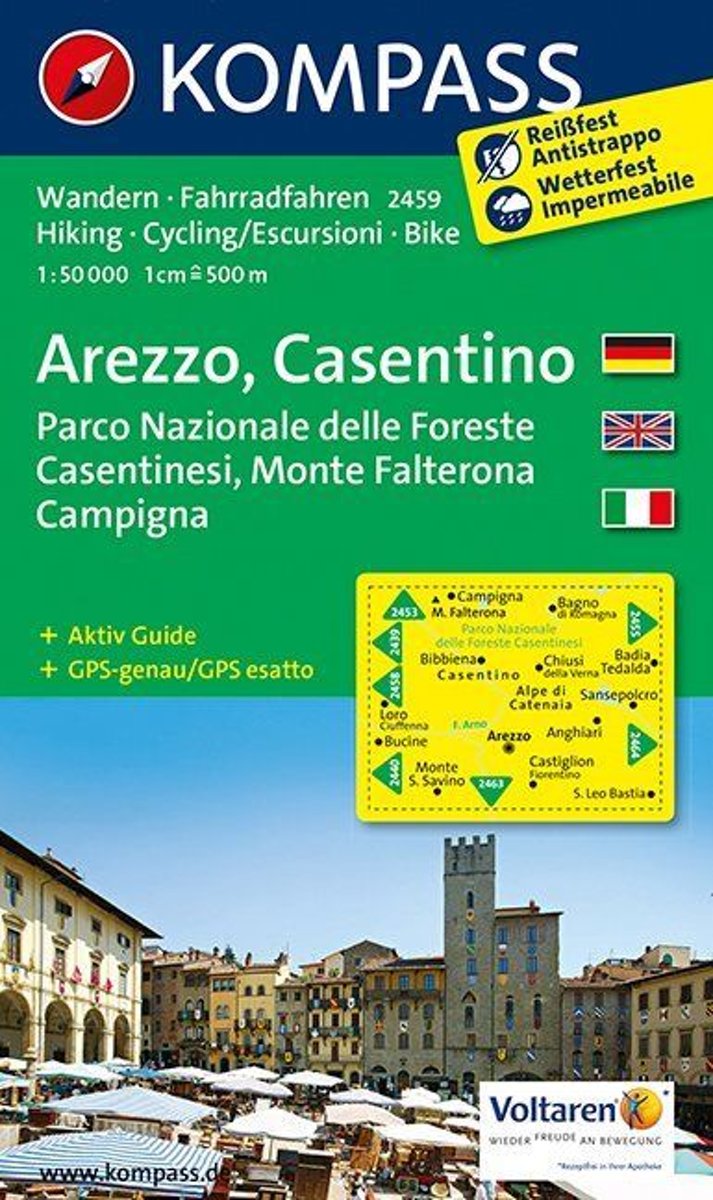
- Arezzo, Casentino WK 2459
- Deze kaart is ideaal voor het uitstippelen van wandel- en fietsroutes en om onderweg te gebruiken • goed leesbare kaart met heel veel topografische details • duidelijke symbolen maken de kaart extra overzichtelijk • wandel- en fietsroutes zijn aangegeven • praktische informatie over de regio • bruikbaar met GPS • nuttige informatie voor... Read more
Bol.com
Belgium
- Arezzo, Casentino WK 2459
- Deze kaart is ideaal voor het uitstippelen van wandel- en fietsroutes en om onderweg te gebruiken • goed leesbare kaart met heel veel topografische details • duidelijke symbolen maken de kaart extra overzichtelijk • wandel- en fietsroutes zijn aangegeven • praktische informatie over de regio • bruikbaar met GPS • nuttige informatie voor... Read more
Bol.com
Netherlands
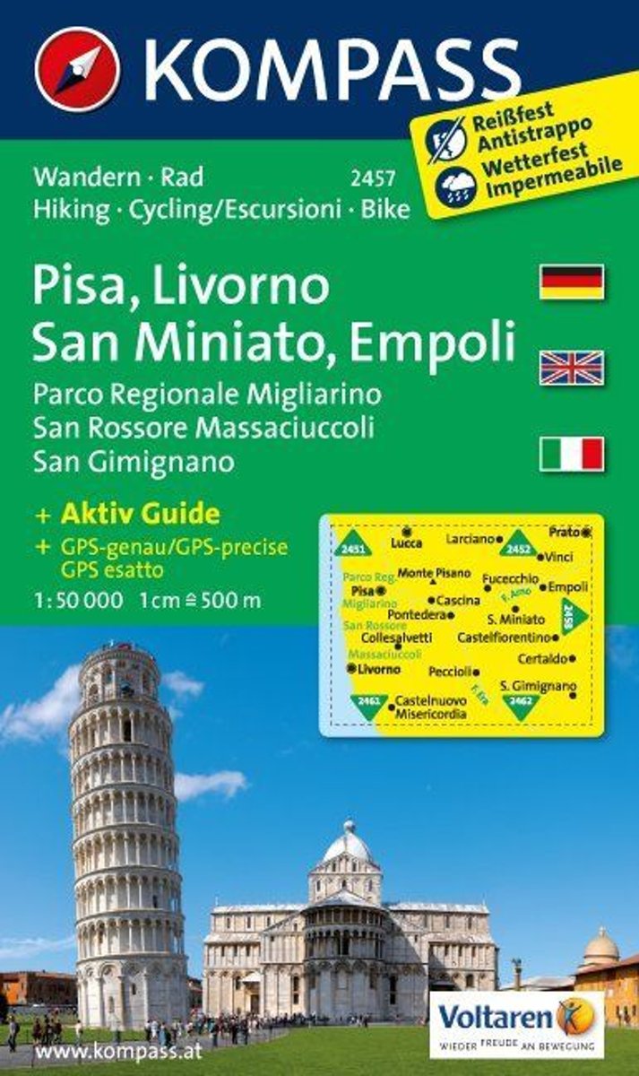
- Pisa, Livorno, San Miniato, Empoli WK2457
- Deze kaart is ideaal voor het uitstippelen van wandel- en fietsroutes en om onderweg te gebruiken • goed leesbare kaart met heel veel topografische details • duidelijke symbolen maken de kaart extra overzichtelijk • wandel- en fietsroutes zijn aangegeven • praktische informatie over de regio • bruikbaar met GPS • nuttige informatie voor... Read more
- Also available from:
- Bol.com, Belgium
- Stanfords, United Kingdom
» Click to openBol.com
Belgium
- Pisa, Livorno, San Miniato, Empoli WK2457
- Deze kaart is ideaal voor het uitstippelen van wandel- en fietsroutes en om onderweg te gebruiken • goed leesbare kaart met heel veel topografische details • duidelijke symbolen maken de kaart extra overzichtelijk • wandel- en fietsroutes zijn aangegeven • praktische informatie over de regio • bruikbaar met GPS • nuttige informatie voor... Read more

Stanfords
United Kingdom
- Pisa - Livorno - San Miniato - Empoli Kompass 2457
- Pisa - Livorno - San Miniato - Empoli area on a double-sided map at 1:50,000 from Kompass, printed on durable, waterproof and tear-resistant synthetic paper. Coverage includes Parco Regionale Migliarino - San Rossore – Massaciuccolli. Contours are at 40m intervals, with a 2-km UTM grid. Extensive overprint includes GEA - Grande Escursione... Read more
Bol.com
Netherlands
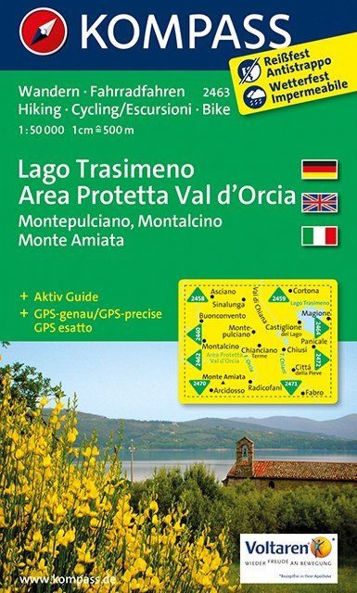
- Lago Trasimeno, Areo Protetta, Val d'Orcia WK2463
- Deze kaart is ideaal voor het uitstippelen van wandel- en fietsroutes en om onderweg te gebruiken • goed leesbare kaart met heel veel topografische details • duidelijke symbolen maken de kaart extra overzichtelijk • wandel- en fietsroutes zijn aangegeven • praktische informatie over de regio • bruikbaar met GPS • nuttige informatie voor... Read more
Bol.com
Belgium
- Lago Trasimeno, Areo Protetta, Val d'Orcia WK2463
- Deze kaart is ideaal voor het uitstippelen van wandel- en fietsroutes en om onderweg te gebruiken • goed leesbare kaart met heel veel topografische details • duidelijke symbolen maken de kaart extra overzichtelijk • wandel- en fietsroutes zijn aangegeven • praktische informatie over de regio • bruikbaar met GPS • nuttige informatie voor... Read more
Bol.com
Netherlands
- Florence, Siena, Chianti WK2458
- Deze kaart is ideaal voor het uitstippelen van wandel- en fietsroutes en om onderweg te gebruiken • goed leesbare kaart met heel veel topografische details • duidelijke symbolen maken de kaart extra overzichtelijk • wandel- en fietsroutes zijn aangegeven • praktische informatie over de regio • bruikbaar met GPS • nuttige informatie voor... Read more
Bol.com
Belgium
- Florence, Siena, Chianti WK2458
- Deze kaart is ideaal voor het uitstippelen van wandel- en fietsroutes en om onderweg te gebruiken • goed leesbare kaart met heel veel topografische details • duidelijke symbolen maken de kaart extra overzichtelijk • wandel- en fietsroutes zijn aangegeven • praktische informatie over de regio • bruikbaar met GPS • nuttige informatie voor... Read more

Stanfords
United Kingdom
- Monti Sibillini National Park Edizioni Multigraphic 60/61
- Monti Sibillini National Park at 1:25,000 on a double-sided contoured map from Edizioni Multigraphic highlighting local waymarked hiking routes including the GAS – Grand Anello dei Sibilini, the circular tour around the mountains.The map has contours at 25m intervals with colouring for woodlands. Waymarked routes are highlighted and annotated... Read more

Stanfords
United Kingdom
- Bagno di Romagna Monti Editore 19
- Map No. 19, Bagno di Romagna, in series of contoured, GPS compatible hiking maps at 1:25,000 from the Istituto Geografico Adriatico, covering mainly the spine of the Apennines along the borders of Tuscany, Emilia-Romagna, Umbria and the Marches.The maps have contours at 25m intervals with additional shading and numerous Map in this series have... Read more

Stanfords
United Kingdom
- Appennino Tosco-Romagnolo East
- Map No. 135, Appennino Tosco-Romagnolo East, in a series of GPS compatible hiking maps at 1:50,000 from the Istituto Geografico Adriatico, covering parts of central Italy: eastern Tuscany, with northern Umbria and the Marches, plus the south-eastern of part of Emilia-Romagna.The maps have contours at 50m intervals with additional shading and... Read more

Stanfords
United Kingdom
- Alpe di San Benedetto 21
- Map No. 21, Alpe di San Benedetto: Passo del Muraglione – San Godenzo – Dicomano, in series of contoured, GPS compatible hiking maps at 1:25,000 from the Istituto Geografico Adriatico, covering mainly the spine of the Apennines along the borders of Tuscany, Emilia-Romagna, Umbria and the Marches.Map in this series have contours at 25m intervals... Read more
Stanfords
United Kingdom
- Monte Carpegna - Sasso di Simone
- Map No. 16, Monte Carpegna - Sasso di Simone, in series of contoured, GPS compatible hiking maps at 1:25,000 from the Istituto Geografico Adriatico, covering mainly the spine of the Apennines along the borders of Tuscany, Emilia-Romagna, Umbria and the Marches.Map in this series have contours at 25m intervals with additional shading and... Read more
Stanfords
United Kingdom
- Alta Val Tiberina
- Map No. 125, Alta Val Tiberina, in a series of GPS compatible hiking maps at 1:50,000 from the Istituto Geografico Adriatico, covering parts of central Italy: eastern Tuscany, with northern Umbria and the Marches, plus the south-eastern of part of Emilia-Romagna.The maps have contours at 50m intervals with additional shading and numerous spot... Read more

Stanfords
United Kingdom
- Alta Valle del Lamone 22
- Map No. 22, Alta Valle del Lamone: Alto Appennino Faentino – Anello di Marradi, in series of contoured, GPS compatible hiking maps at 1:25,000 from the Istituto Geografico Adriatico, covering mainly the spine of the Apennines along the borders of Tuscany, Emilia-Romagna, Umbria and the Marches.Map in this series have contours at 25m intervals... Read more

Stanfords
United Kingdom
- Foreste Casentinesi NP Monti Editore 20
- Map No. 20, Foreste Casentinesi: Campigna, Camaldoli, Chiusi dell Verna, in series of contoured, GPS compatible hiking maps at 1:25,000 from the Istituto Geografico Adriatico, covering mainly the spine of the Apennines along the borders of Tuscany, Emilia-Romagna, Umbria and the Marches.Map in this series have contours at 25m intervals with... Read more
Stanfords
United Kingdom
- Riviera Cesenate - San Marino
- Map No. 128, Riviera Cesenate - San Marino, in a series of GPS compatible hiking maps at 1:50,000 from the Istituto Geografico Adriatico, covering parts of central Italy: eastern Tuscany, with northern Umbria and the Marches, plus the south-eastern of part of Emilia-Romagna.The maps have contours at 50m intervals with additional shading and... Read more