De Zwerver
Netherlands

Stanfords
United Kingdom
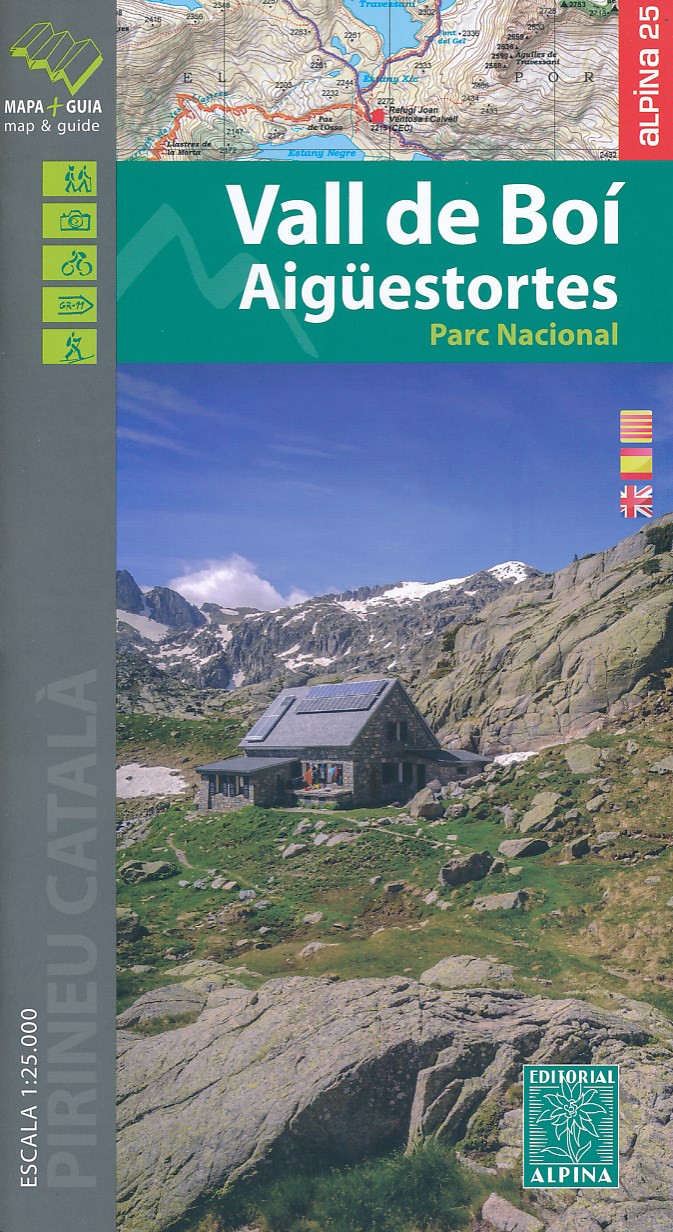
- Vall de Boí - Aigüestortes PN Editorial Alpina
- Vall de Boi area of the Spanish Pyrenees, including the western half of the Aigüestortes i Estany de Sant Maurici National Park, presented on a contoured and GPS compatible map at 1:25,000 from Editorial Alpina. The map has contours at 10m intervals, enhanced by relief shading with plenty of spot heights, plus colouring for different types of... Read more
De Zwerver
Netherlands
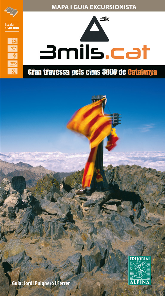
- Wandelkaart 3mils.cat | Editorial Alpina
- The “3mils.cat” route - a 125km / 10 day traverse across 10 over 3000m high peaks in the Catalan Pyrenees - on a contoured and GPS compatible map at 1:40,000 from Editorial Alpina with a booklet providing accommodation details, stage descriptions, etc.The route - from Tuc de Molières o Mulleres (3,010m), just south-east of Pic d’ Aneto, past... Read more

Stanfords
United Kingdom
- 3mils.cat: Traverse of Ten 3000m Peaks in the Catalan Pyreness
- The “3mils.cat” route - a 125km / 10 day traverse across 10 over 3000m high peaks in the Catalan Pyrenees - on a contoured and GPS compatible map at 1:40,000 from Editorial Alpina with a booklet providing accommodation details, stage descriptions, etc.The route - from Tuc de Molières o Mulleres (3,010m), just south-east of Pic d’ Aneto, past... Read more
De Zwerver
Netherlands
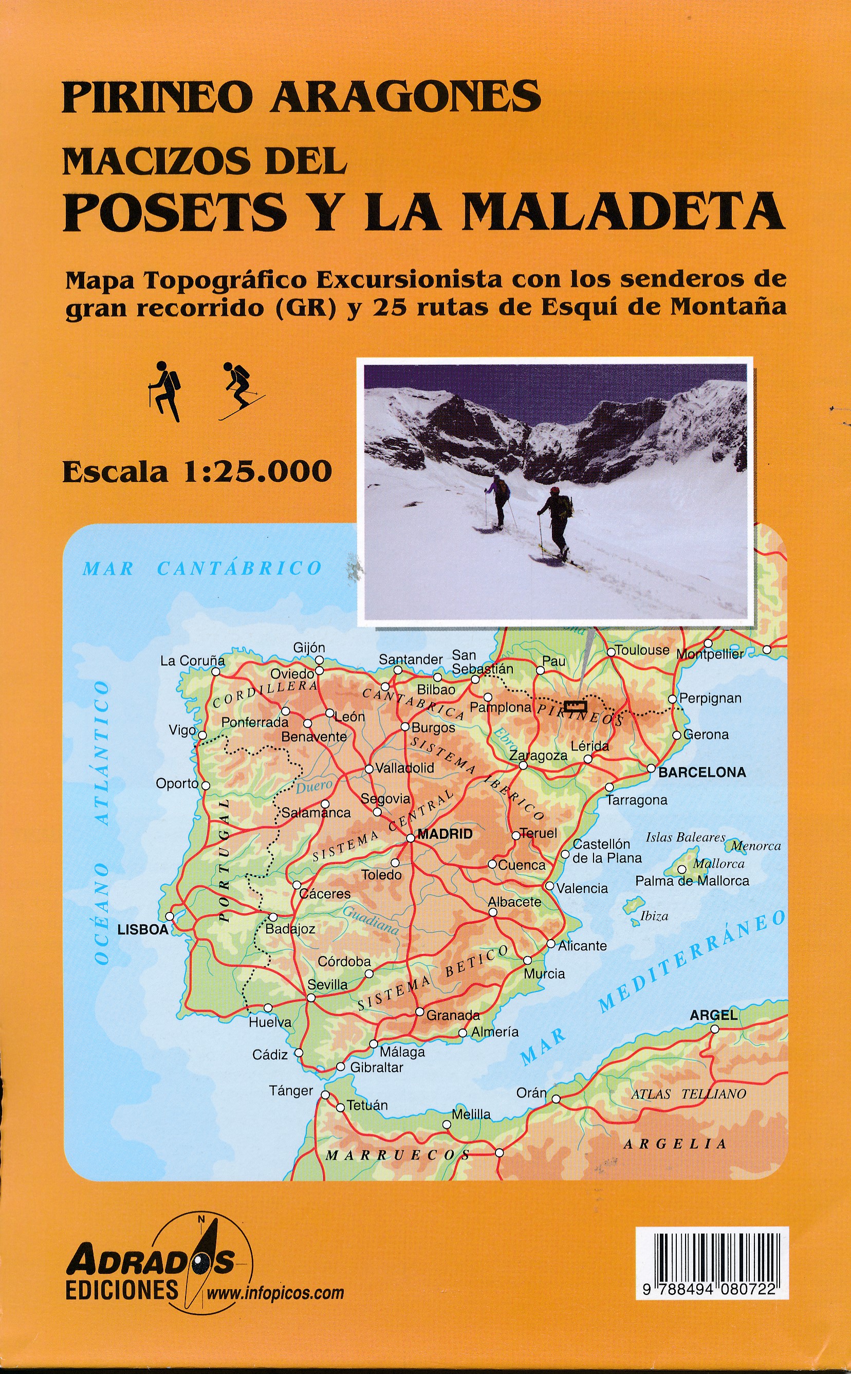
- Wandelkaart Macizos del Posets Y la Maladeta | Adrados Ediciones
- Posets and Maladeta Massifs in the central part of the Spanish Pyrenees on a double-sided, contoured and GPS compatible map at 1:25,000 from Adrados Ediciones, with vivid presentation of the topography, hiking or ski trails, campsites and refuges, etc. Coverage extends from Plan and the Zinqueta River west of the Poset massif, across the... Read more

Stanfords
United Kingdom
- Posets and la Maladeta Massifs Adrados Map
- Posets and Maladeta Massifs in the central part of the Spanish Pyrenees on a double-sided, contoured and GPS compatible map at 1:25,000 from Adrados Ediciones, with vivid presentation of the topography, hiking or ski trails, campsites and refuges, etc. Coverage extends from Plan and the Zinqueta River west of the Poset massif, across the... Read more
De Zwerver
Netherlands
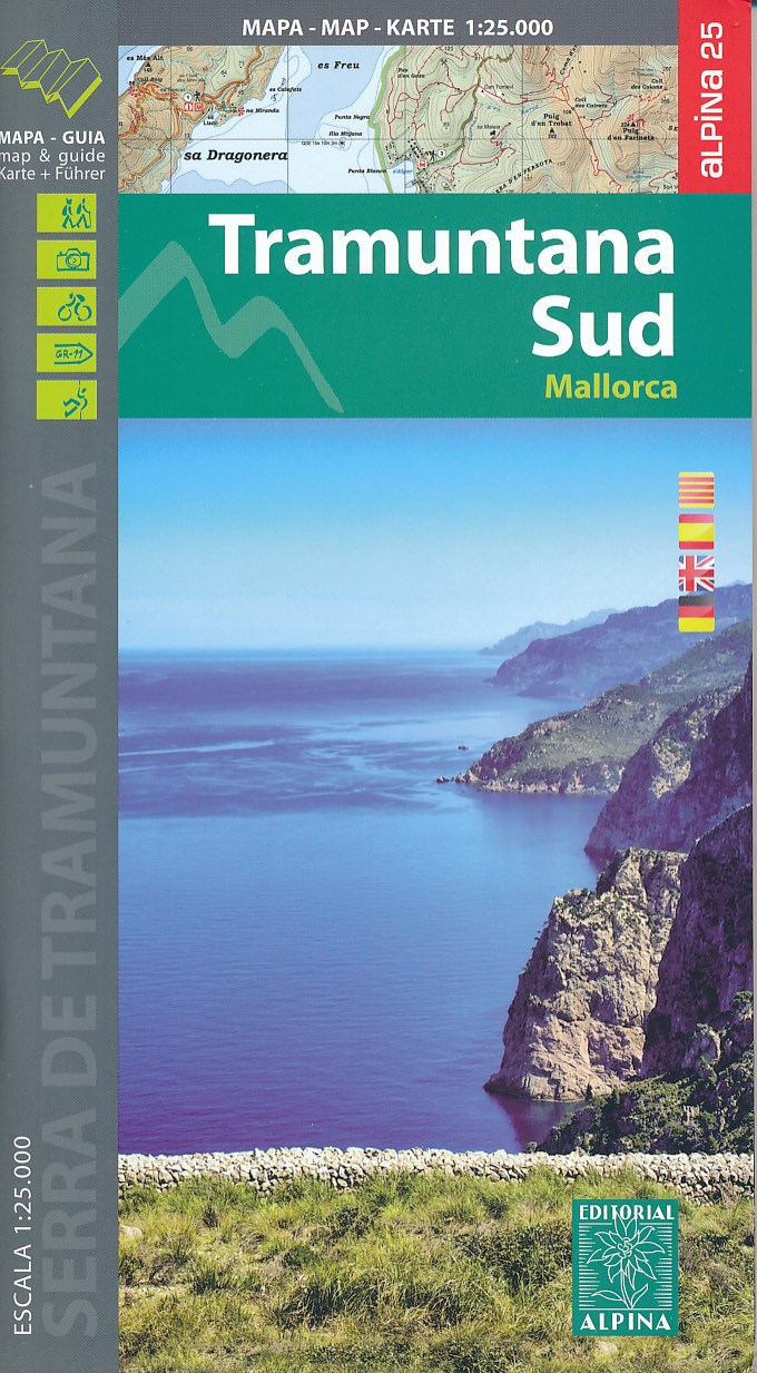
- Wandelkaart 66 Tramuntana Zuid - Mallorca | Editorial Alpina
- Zeer gedetailleerde wandelkaart van een deel van de Tramuntana op Mallorca. Met ingetekende wandelroutes en andere informatie. uitstekende kaart. Met symbolen voor campings, hutten. Let op: deze uitgever is traag met het vernieuwen van kaarten; het kan zo maar zijn dat een bepaalde kaart gedurende langere tijd niet beschikbaar is. Majorca:... Read more

Stanfords
United Kingdom
- Mallorca - Tramuntana South Editorial Alpina
- The southern part of Mallorca’s Serra de Tramuntana mountains on a contoured and GPS-compatible map at 1:25,000 from Editorial Alpina, highlighting numerous local hiking trails and the course of the GR221 long-distance trail, climbing and canyoning sites, refuges and campsites, etc. Accompanying booklet includes English-language descriptions of... Read more

Stanfords
United Kingdom
- Ordesa - Monte Perdido National Park Editorial Alpina 2-Map Set
- Ordesa and Monte Perdido National Park at 1:25,000 in a set of two GPS compatible recreational maps in an extensive and very popular series from Editorial Alpina, providing more detailed coverage of this popular hiking area.Contours are at 10m intervals, with relief shading and vegetation colouring. An overprint highlights waymarked PR hiking... Read more

Stanfords
United Kingdom
- Pirineu Occidental
- Pirineu Occidental, the western part of the Catalan Pyrenees, at 1:100,000 in the topographic survey of Catalonia published by the Institut Cartogràfic de Catalunya, with very detailed coverage of a large area and an excellent representation of the region’s topography.Maps in this series have relief presented by contours at 40m intervals,... Read more

Stanfords
United Kingdom
- La Senda de Camille Editorial Alpina
- La Senda de Camille, the Pyrenean Bear Trail, a 104-km circuit in the central Pyrenees, on a contoured GPS compatible map at 1:25,000 from Editorial Alpina, plus a booklet providing information on mountain refuges. The route, which crosses over from the Spanish side to the Parc National des Pyrénées in France and incorporates part of the... Read more
Stanfords
United Kingdom
- Camp de Tarragona
- Camp de Tarragona map at 1:100,000 in the topographic survey of Catalonia published by the Institut Cartogràfic de Catalunya, with very detailed coverage of a large area and an excellent representation of the region’s topography. Maps in this series have relief presented by contours at 40m intervals, enhanced by additional hill-shading and spot... Read more
Stanfords
United Kingdom
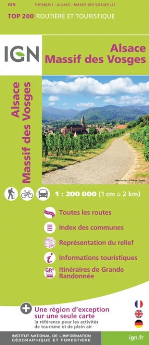
- Massif des Vosges - Plaine d`Alsace IGN Top200 201
- Pyrénées Ouest map from the IGN at 1:200,000, with excellent presentation of the terrain through contours and vivid relief shading, plenty of names of topographic features, long-distance GR hiking routes, places of interest, etc. The map is designed to provide convenient coverage of the western and central part of the Pyrenees, extending across... Read more

Stanfords
United Kingdom
- Barcelona and Environs ICGC 100K 5
- Barcelona and Environs map at 1:100,000 in the topographic survey of Catalonia published by the Institut Cartogràfic de Catalunya, with very detailed coverage of a large area and an excellent representation of the region’s topography. Maps in this series have relief presented by contours at 40m intervals, enhanced by additional hill-shading and... Read more
Stanfords
United Kingdom
- Comarques Centrales
- Comarques Centrales, the foothills of the Catalan Pyrenees including Ripoll, Olot, Berga, Vic, Solsona, etc, at 1:100,000 in the topographic survey of Catalonia published by the Institut Cartogràfic de Catalunya, with very detailed coverage of a large area and an excellent representation of the region’s topography.Maps in this series have... Read more
Stanfords
United Kingdom
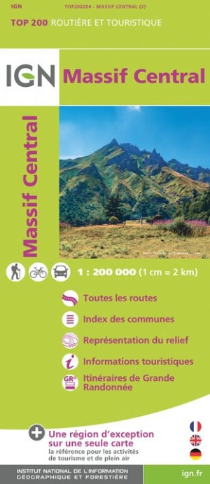
- Massif Central IGN Top200 204
- Pyrénées Ouest map from the IGN at 1:200,000, with excellent presentation of the terrain through contours and vivid relief shading, plenty of names of topographic features, long-distance GR hiking routes, places of interest, etc. The map is designed to provide convenient coverage of the western and central part of the Pyrenees, extending across... Read more

Stanfords
United Kingdom
- GR 11: La Senda
- GR11 long-distance footpaths along the Spanish side of the Pyrenees in a French language guide from Rando Editions, with extracts from the publisher’s topographic series at 1:50,000 highlighting the route and mountain refuges.The guide divides the route into 40 sections and covers it from the Mediterranean, starting at Cap de Creus on the Costa... Read more
Stanfords
United Kingdom
- Terres de l`Ebre
- Terres de l`Ebre map at 1:100,000 in the topographic survey of Catalonia published by the Institut Cartogràfic de Catalunya, with very detailed coverage of a large area and an excellent representation of the region’s topography. Maps in this series have relief presented by contours at 40m intervals, enhanced by additional hill-shading and spot... Read more
Stanfords
United Kingdom
- Pla de Lleida
- Pla de Lleida map at 1:100,000 in the topographic survey of Catalonia published by the Institut Cartogràfic de Catalunya, with very detailed coverage of a large area and an excellent representation of the region’s topography. Maps in this series have relief presented by contours at 40m intervals, enhanced by additional hill-shading and spot... Read more