De Zwerver
Netherlands
2020
De Zwerver
Netherlands
» Click to open
Stanfords
United Kingdom
  • Mont Blanc Massif IGC 4
  • The Mont Blanc Massif in a series contoured hiking maps at 1:50,000 with local trails, long-distance footpaths, mountain accommodation, etc, from the Turin based Istituto Geografico Centrale. The map highlights, among other routes, the Alta Via 1 and the northern section of the Alta Via 2, both of which join up with TMB, as well as the local... Read more
» Click to close
De Zwerver
Netherlands
De Zwerver
Netherlands
2018
De Zwerver
Netherlands
2016
De Zwerver
Netherlands
» Click to open
Stanfords
United Kingdom
» Click to close
De Zwerver
Netherlands
2022
De Zwerver
Netherlands
De Zwerver
Netherlands
» Click to open
Stanfords
United Kingdom
  • Alsace - Colmar - Sélestat - Freiburg im Breisgau - Lahr K+F Outdoor Map 5
  • The central part of Alsace around Colmar and Sélestat on a GPS compatible, double-sided map at 1:50,000 from Kümmerly+Frey printed on sturdy, waterproof and tear-resistant synthetic paper; contoured, with hiking and cycling routes, sites for other recreational activities, various accommodation options, restaurants and ferme-auberge locations,... Read more
» Click to close
De Zwerver
Netherlands
De Zwerver
Netherlands
2023
De Zwerver
Netherlands
2015
» Click to open
Stanfords
United Kingdom
2015
  • Mont-Blanc - Annecy Didier Richard 02
  • Mont Blanc Massif and the adjoining region of the French Alps at 1:60,000 on a contoured and GPS compatible map from Didier Richard with a base derived from IGN’s topographic survey, highlighting both local hiking routes and the GR network of long-distance paths, gîtes and mountain refuges, interesting natural and cultural sites, etc. The map... Read more
» Click to close
De Zwerver
Netherlands
» Click to open
Stanfords
United Kingdom
  • Beaufortain - Massif du Mont Blanc IGN 75004
  • Massif du Mont Blanc – Beaufortain region in a series of GPS compatible, contoured TOP 75 maps at 1:75,000 from the IGN, highlighting local and long-distance hiking paths, cycling routes and sites for other recreational activities. In this revised 2015 edition the main 75K map now covers the whole of the Tour of Mont Blanc (TMB) including its... Read more
» Click to close
De Zwerver
Netherlands
» Click to open
Stanfords
United Kingdom
  • Alsace - Strasbourg - Saverne - Barr - Offenburg K+F Outdoor Map 7
  • The central part of Alsace around Strasbourg and Saverne on a GPS compatible, double-sided map at 1:50,000 from Kümmerly+Frey printed on sturdy, waterproof and tear-resistant synthetic paper; contoured, with hiking and cycling routes, sites for other recreational activities, various accommodation options, restaurants and ferme-auberge... Read more
» Click to close
De Zwerver
Netherlands
2018
» Click to open
Stanfords
United Kingdom
2018
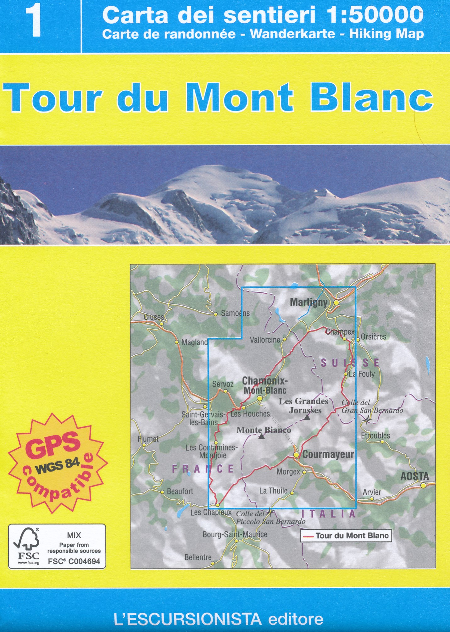
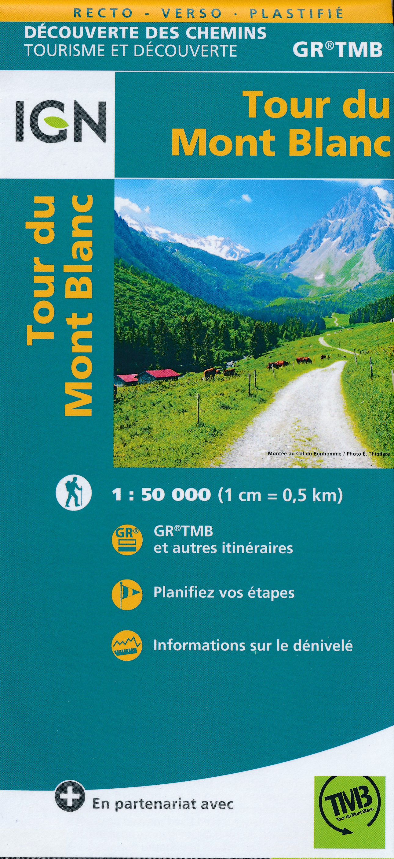
  • Tour du Mont-Blanc IGN 89025
  • Goede, handzame, tweezijdig bedrukte kaart van de Tour du Mont Blanc Tour (TMB) met hoogte profielen en ingetekende route. 3 landen: Frankrijk, Italië en Zwitserland totale lengte 170 kilometer Inclusief 10.000 meter hoogteverschil Schaal 1: 50.000 (1 cm = 500 m) Een onmisbare hulp bij de voorbereiding van de route: de etappen, accommodaties,... Read more
» Click to close