De Zwerver
Netherlands
Netherlands
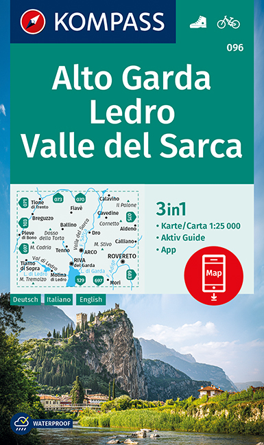
- Wandelkaart 096 Alto Garda - Ledro - Val di Sarca | Kompass
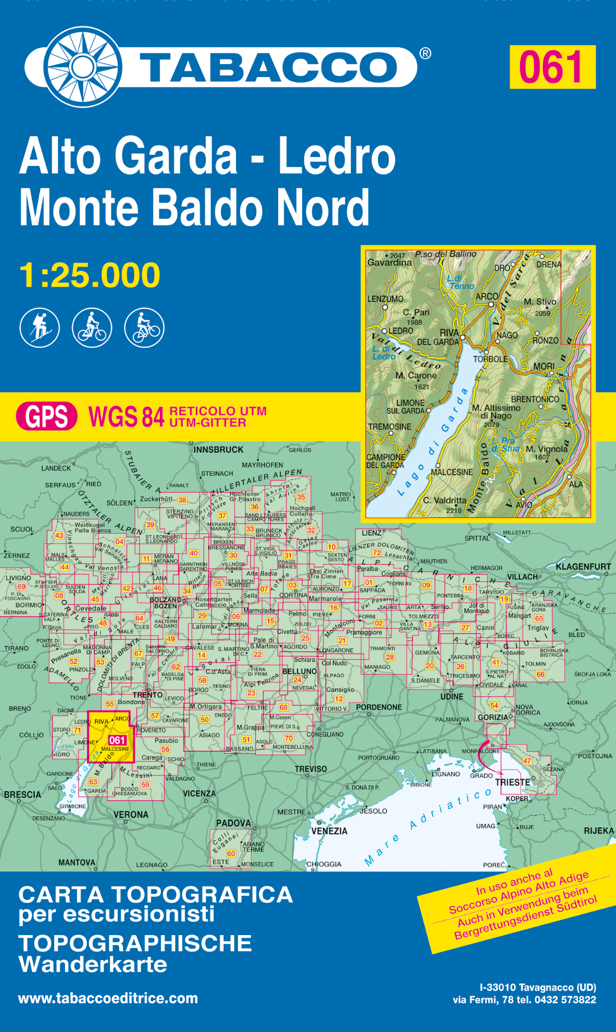
- The area around and north of the northern tip of Lake Garda, including Riva del Garda, on a double-sided, waterproof and tear-resistant, contoured and GPS compatible map at 1:25,000 from Kompass. Contour interval is 20m, with extensive overprint for hiking trails, cycle routes including a selection of mountain bike routes), ski routes,... Read more
- Also available from:
- Stanfords, United Kingdom

Stanfords
United Kingdom
United Kingdom
- Alto Garda - Ledro - Valle del Sacra Kompass 096
- The area around and north of the northern tip of Lake Garda, including Riva del Garda, on a double-sided, waterproof and tear-resistant, contoured and GPS compatible map at 1:25,000 from Kompass. Contour interval is 20m, with extensive overprint for hiking trails, cycle routes including a selection of mountain bike routes), ski routes,... Read more