De Zwerver
Netherlands
2024
Netherlands
2024
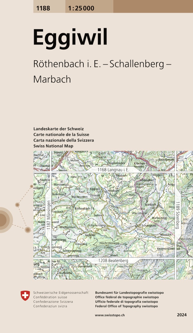
- Wandelkaart - Topografische kaart 1188 Eggiwil | Swisstopo
- Map No. 1188, Eggiwil, in the topographic survey of Switzerland at 1:25,000 from Bundesamt f Read more
- Also available from:
- Stanfords, United Kingdom

Stanfords
United Kingdom
2024
United Kingdom
2024
- Eggiwil Swisstopo 1188
- Map No. 1188, Eggiwil, in the topographic survey of Switzerland at 1:25,000 from Bundesamt für Landestopographie (swisstopo), covering the whole country on 247 small format sheets, with special larger maps published for popular regions including some titles now available in hiking versions.Highly regarded for their superb use of graphic relief... Read more