De Zwerver
Netherlands
Netherlands
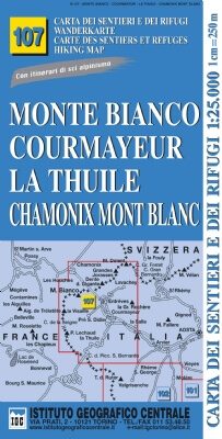
- Wandelkaart 106 Monviso, Valle Varaita, Valle Po, Valle Pellice | IGC - Istituto Geografico Centrale
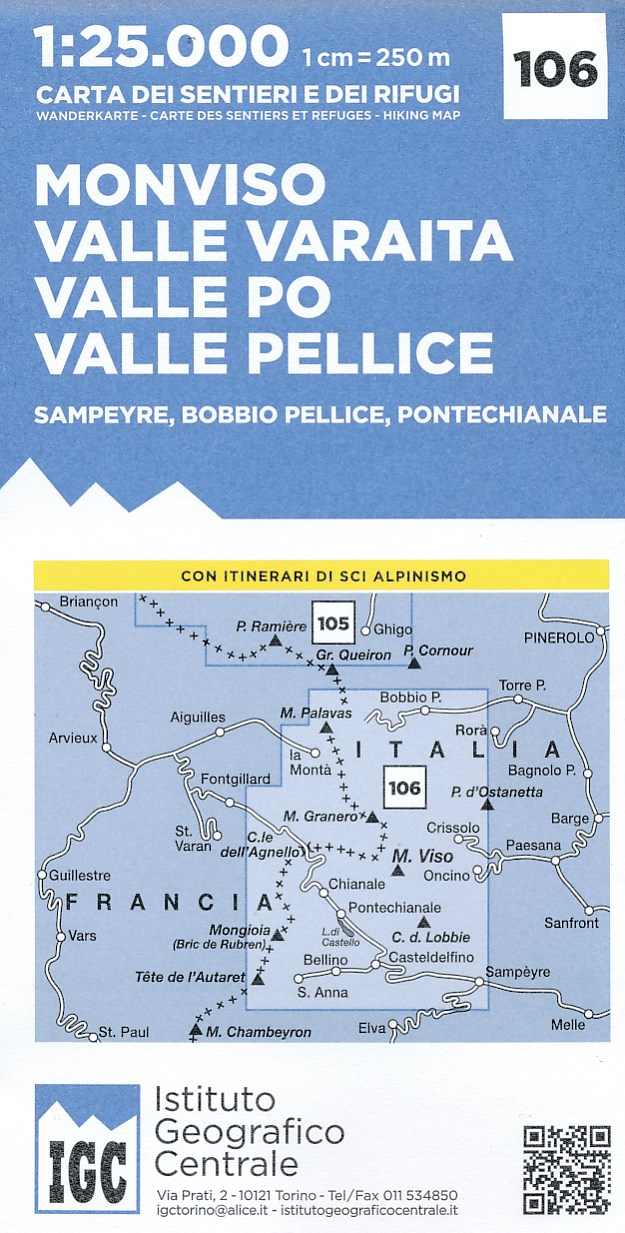
- M. Viso - Sampeyre - Bobbio Pellice area at 1:25,000 in a series of contoured, GPS compatible walking maps from the Turin based Istituto Geografico Centrale, highlighting hiking trails including long-distance routes, ski routes and alpine accommodation. The maps have contours at 25m intervals, enhanced by shading and graphic relief for very... Read more
- Also available from:
- Stanfords, United Kingdom

Stanfords
United Kingdom
United Kingdom
- Monviso - Valle Varaita - Valle Po - Valle Pellice IGC 106
- Monviso - Valle Varaita - Valle Po - Valle Pellice - Sampeyre - Bobbio Pellice area of the Italian Alps at 1:25,000 in a series of contoured, GPS compatible walking maps from the Turin based Istituto Geografico Centrale, highlighting hiking trails including long-distance routes, ski routes and alpine accommodation. Maps in this series have... Read more