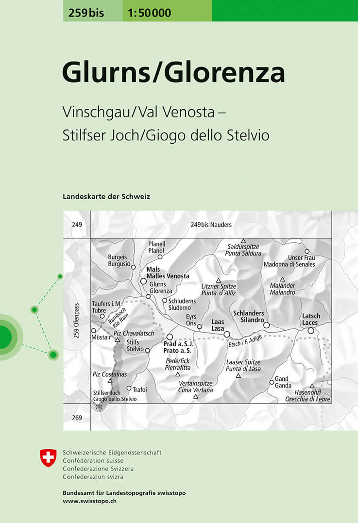
Glorenza/Glurns, map No. 259bis, in the standard topographic survey of Switzerland at 1:50,000 from Swisstopo, i.e. without the special overprint highlighting walking trails, local bus stops, etc, presented in SwisstopoRead more
Glorenza/Glurns, map No. 259bis, in the standard topographic survey of Switzerland at 1:50,000 from Swisstopo, i.e. without the special overprint highlighting walking trails, local bus stops, etc, presented in Swisstopo’s hiking editions of the 50K survey. The map covers mainly Val Venosta / Vinschgau valley on the Italian side of the...Read more
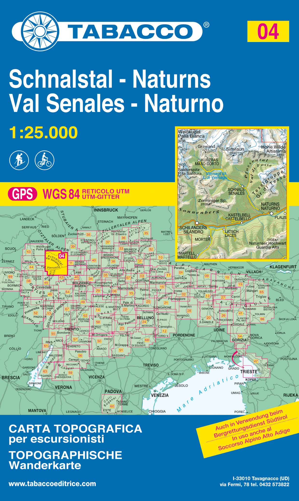
Val Senales/Schnalstal - Naturno/Naturns area in a series of Tabacco maps at 1:25,000 covering the Dolomites and the mountains of north-eastern Italy - StanfordsRead more
Val Senales/Schnalstal - Naturno/Naturns area in a series of Tabacco maps at 1:25,000 covering the Dolomites and the mountains of north-eastern Italy - Stanfords’ most popular coverage for this region, with excellent cartography and extensive overprint for hiking routes and other recreational activities, local bus stops, etc. Additional...Read more
Deze Kompass wandelkaart, schaal 1:50 000, is ideaal om uw route uit te stippelen en om onderweg te gebruiken • naast de bekende bestemmingen, worden ook de minder bekende vermeld • openbaar vervoer bij begin- of eindpunt van een route aangegeven • eenvoudige wandelingen tot pittige (berg)tochten, voor getrainde en ongetrainde wandelaars • met...Read more
Deze Kompass wandelkaart, schaal 1:50 000, is ideaal om uw route uit te stippelen en om onderweg te gebruiken • naast de bekende bestemmingen, worden ook de minder bekende vermeld • openbaar vervoer bij begin- of eindpunt van een route aangegeven • eenvoudige wandelingen tot pittige (berg)tochten, voor getrainde en ongetrainde wandelaars • met...Read more
Deze Kompass wandelkaart is ideaal om uw route uit te stippelen en om onderweg te gebruiken • naast de bekende bestemmingen, worden ook de minder bekende vermeld • openbaar vervoer bij begin- of eindpunt van een route aangegeven • eenvoudige wandelingen tot pittige (berg)tochten, voor getrainde en ongetrainde wandelaars • met heel veel nieuwe...Read more
Deze Kompass wandelkaart is ideaal om uw route uit te stippelen en om onderweg te gebruiken • naast de bekende bestemmingen, worden ook de minder bekende vermeld • openbaar vervoer bij begin- of eindpunt van een route aangegeven • eenvoudige wandelingen tot pittige (berg)tochten, voor getrainde en ongetrainde wandelaars • met heel veel nieuwe...Read more
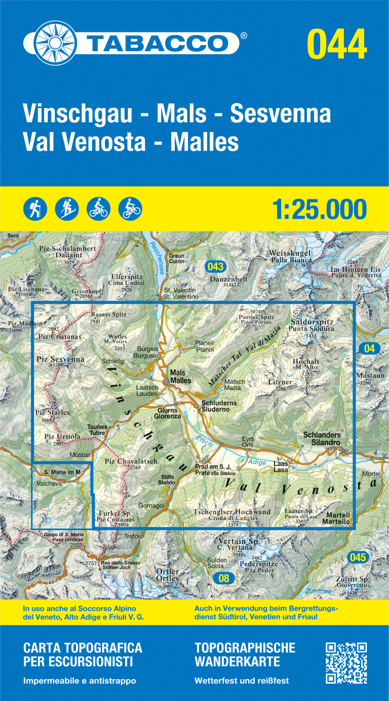
Val Venosta/Vinschgau - Sesvenna area in a series of Tabacco maps at 1:25,000 covering the Dolomites and the mountains of north-eastern Italy - Stanfords’ most popular coverage for this region, with excellent cartography and extensive overprint for hiking routes and other recreational activities, local bus stops, etc. Additional overprint in...Read more
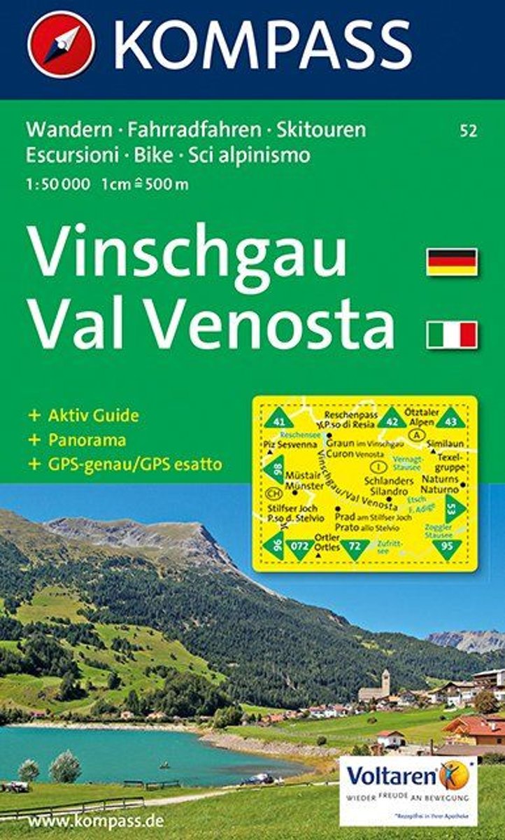
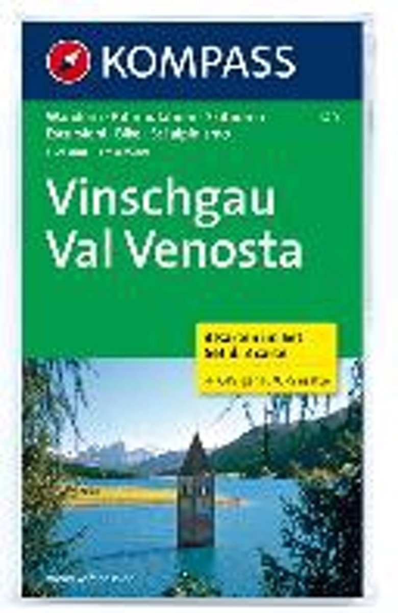
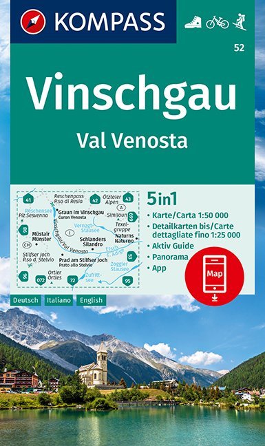
Val Venosta/Vinschgau area of the Dolomites on a GPS compatible hiking and recreational map at 1:50,000 from Kompass, printed on durable, waterproof and tear-resistant synthetic paper. KOMPASS HIKING MAPS OF ITALY: this title is part of an extensive series of walking maps from Kompass covering selected areas of Italy at mainly 1:50,000, with a...Read more
Val Venosta / Vinschgau area in the Dolomites at 1:50,000 in a series of waterproof and tear-resistant, GPS compatible and contoured recreational maps from Kümmerly + Frey with both local and long-distance hiking and cycling trails, ski routes, sites for other outdoor pursuits, accommodation, bus stops, etc. Coverage includes the Ortles/Ortler...Read more
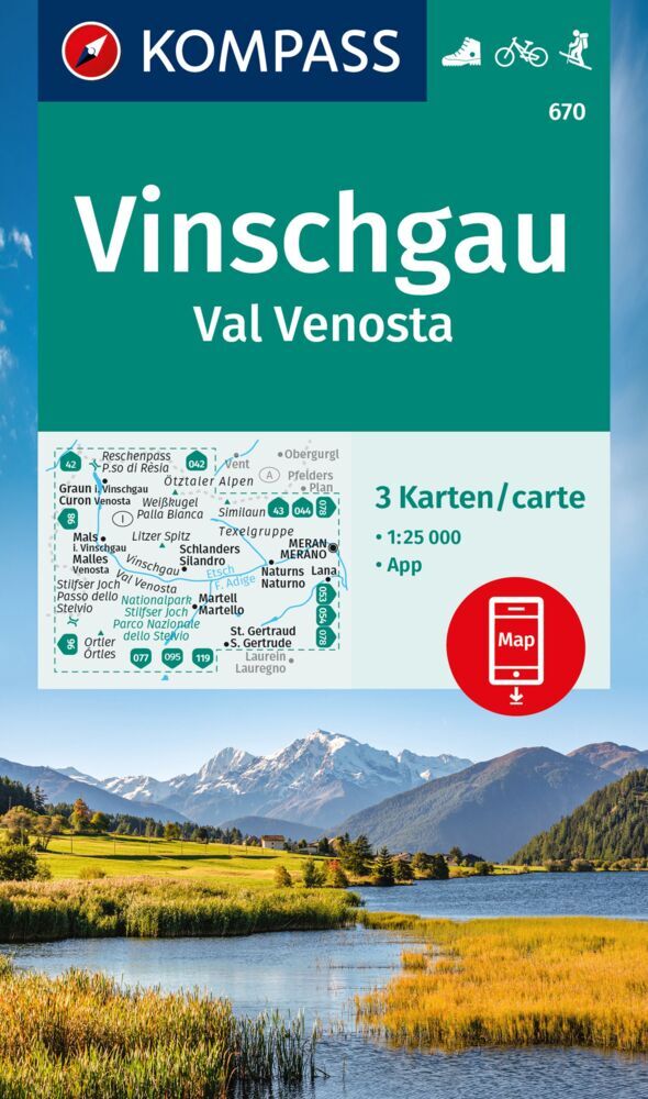
Val Venosta / Vinschgau in the South Tyrol on a set of three contoured and GPS compatible maps at 1:25,000 from Kompass in their series of detailed maps of the Dolomites. Coverage extends from Merano westwards to the Rèsia lake and pass in the north-west and includes the Stelvio / Stilfser Joch National Par, with the Ortles/Ortler group and...Read more
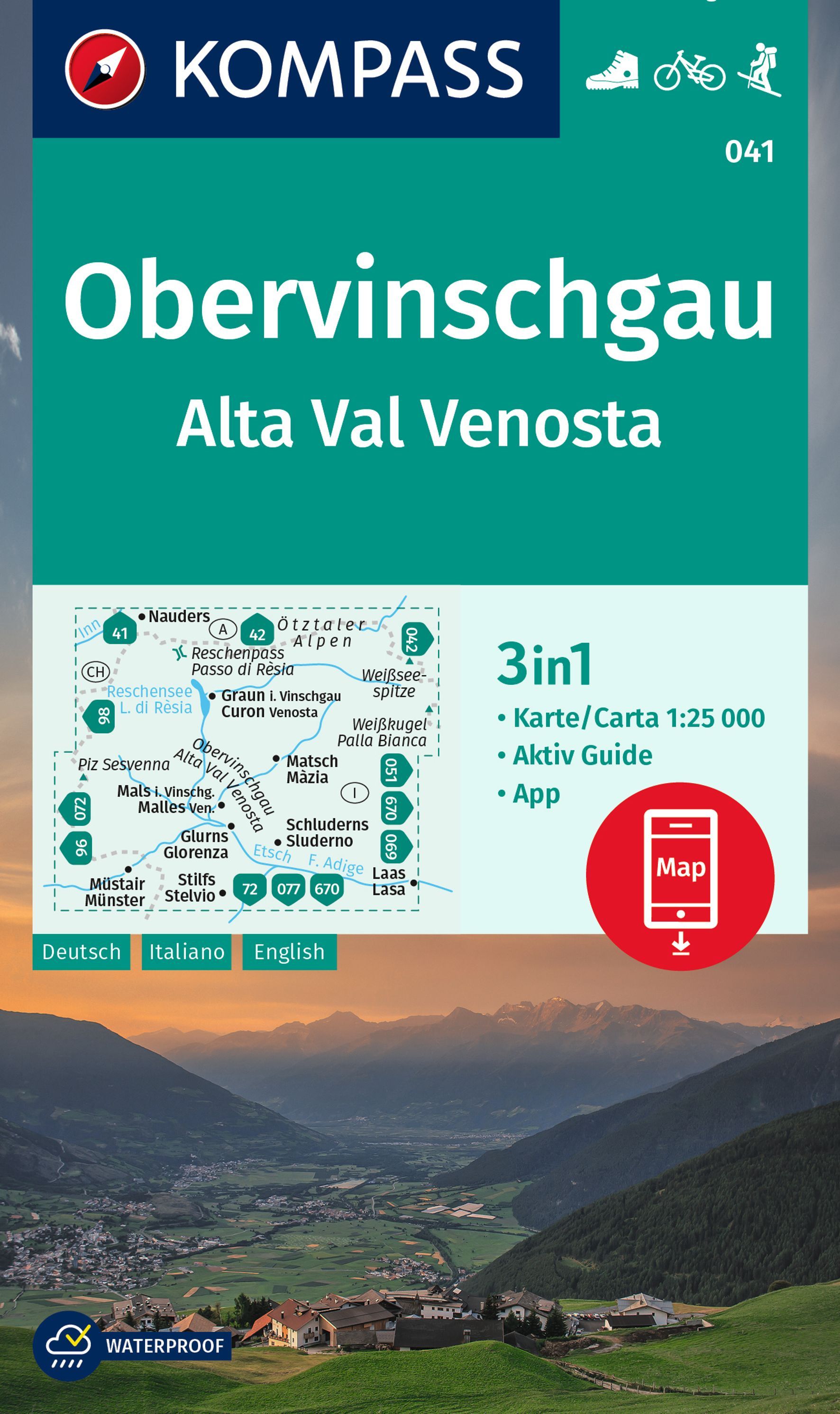
Map No. 041, Alta Val Venosta/Obervinschgau, from Kompass, printed on waterproof and tear-resistant synthetic paperin a series providing detailed coverage of the Dolomites and Lake Garda area and supplementing their main series of walking maps of Italy at 1:50,000. Maps in this series have a more detailed base and smaller contour interval than...Read more
Alta Val Venosta/Vinschgauer Oberland area in a series of Tabacco maps at 1:25,000 covering the Dolomites and the mountains of north-eastern Italy - StanfordsRead more