De Zwerver
Netherlands
2017
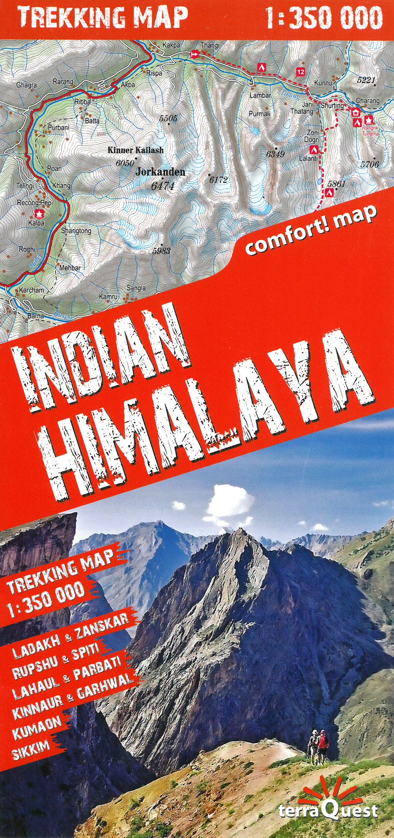
- Wandelkaart Trekking map Indian Himalaya | TerraQuest
- Mooie gedetailleerde kaart, geplastificeerd. De kaart heeft op de ene kant een algemeen overzicht van de Indische Himalaya met schaal 1/750.000 en op de andere zijde vind je de 22 trekking routes op schaal 1/350.000. Op zich geen zeer gedetailleerde wandelkaart. Er van uitgaande dat je de tochten toch met een gids of met een groep doet, dan is... Read more