
Italië
Beschrijving

Italy is a country of enormous diversity and contrast. Most famous are the Alps. Coming from the efficient neatness of Switzerland or Austria, the Italian Alps are wilder and at the same time more tranquil, like stepping back in time. The most beautiful and popular areas are Gran Paradiso, Val Grande, Stelvio and the Dolomites.
In addition there are countless national parks, all very much worth hiking through. A series of mountain ranges runs from north to south like a backbone, starting from the hills of Tuscany, to the Apennines and Abruzzo to Italy's toe, Calabria. Southern Italy, too far for many tourists, has several attractive hiking regions, like Pollino and Aspromonte.
In the Alps you can walk from hut to hut, elsewhere you can do day hikes, such is the rule in general. However some genuine long distance hiking trails are under construction. European long distance trail E10 in the Alps, which coincides with the 1000km long Grande Alpine Trail and the international Via Alpina. The second large project is the E1, which coincides with the Grand Apennine Mountains Trail and the Ligurian Mountains High Trail. If this trail is ever completed, you can start from Como passing Genova and continue all the way to Reggio di Calabria and Palermo or Siracuse on Sicily. The third large project means to join all these trails into one 6000km long Sentiero Italia. Last but not least, there is the Alta Via in the Dolomites: splendid walking.
Mountain huts abound in the Alps. Hiking can be done all summer, from June until well into October. Further south spring is the best hiking season. In April you will still get stuck in the snow up in the mountains. Autumn is supposed to be fine as well, but alas, as one hiker put it: "you wake up to the sounds of church bells and gunfire". As hunters, Italians are best avoided.
Kaart


Paden
- Alta Via dei GigantiGPX
- Alta Via dei Monti LiguriGPX
- Alta Via Della Valle d'Aosta No 1
- Alta Via Della Valle d'Aosta No 2
- Alta Via Dolomiti 1GPX
- Alta Via Dolomiti 10
- Alta Via Dolomiti 2GPX
- Alta Via Dolomiti 3GPX
- Alta Via Dolomiti 4GPX
- Alta Via Dolomiti 5
- Alta Via Dolomiti 6GPX
- Alta Via Dolomiti 7
- Alta Via Dolomiti 8
- Alta Via Dolomiti 9
- Bassa Via del GardaGPX
- Cinque Terre
- E1GPX
- E10GPX
- E12GPX
- E5GPX
- E7GPX
- Florence - Siena
- GoethewegGPX
- GR58 - Tour du QueyrasGPX
- Grande Escursione AppenninicaGPX
- Grande Traversata del Gran Paradiso
- Grande Traversata delle AlpiGPX
- Meraner HöhenwegGPX
- Pfunderer HöhenwegGPX
- Santiago de Compostela Pilgrims WayGPX
- Südalpenweg - 3GPX
- SeealpentourGPX
- Sentiero della PaceGPX
- Sentiero ItaliaGPX
- Sentiero Roma
- Tiroler Höhenweg
- TMB - Tour du Mont BlancGPX
- Tour des CombinsGPX
- Tour des Grands Barrages
- Tour du MatterhornGPX
- Tour Monte RosaGPX
- Traumpfad München-VenedigGPX
- Via AlpinaGPX
- Via FrancigenaGPX
- Via SacraGPX
- Via SbrinzGPX
- Via SplugaGPX
- Via ValtellinaGPX
Regios
- Abruzzi
- Adamello
- Aeolian Islands
- Alpi Biellesi e Cusiane
- Alpi di Livigno
- Alpi Liguri
- Alpi Marittime
- Alpi Oróbie e Bergamasche
- Alpi Sarentini
- Alpi Vicentine
- Alps
- Amalfi Coast
- Appennini
- Apulia
- Ötztal
- Bernina
- Brenta
- Calabria
- Cilento
- Defereggengebirge
- Dolomiti
- Dolomiti di Fiemme
- Elba
- Friuli
- Garda
- Gran Paradiso
- Grand Combin
- Julische Alpen
- Karawanken
- Karnischer Alpen
- Lago di Como
- Lago Maggiore
- Liguria
- Lombardia
- Matterhorn
- Moncenisio
- Monginevro
- Mont Blanc
- Monte Leone
- Monte Rosa
- Monti Sibillini
- Monviso
- Nonstaler Alpen
- Ortler
- Paganella
- Platta Gruppe
- Presanella
- Rieserfernergruppe
- Sardinia
- Südtirol
- Sesvenna Gruppe
- Sicilia
- Sobretta
- Stelvio
- Stubai
- Texelgruppe
- Tirol
- Toscana
- Trentino
- Umbria
- Val d'Aosta
- Val Grande
- Val Venosta
- Valle d'Aosta
- Veneto
- Vinschgau
- Zillertal
Bergen


Links
Feiten
Verslagen
Gidsen en kaarten
Overnachting
Organisaties
Reisorganisaties
GPS
Anders
Boeken
Netherlands
2018
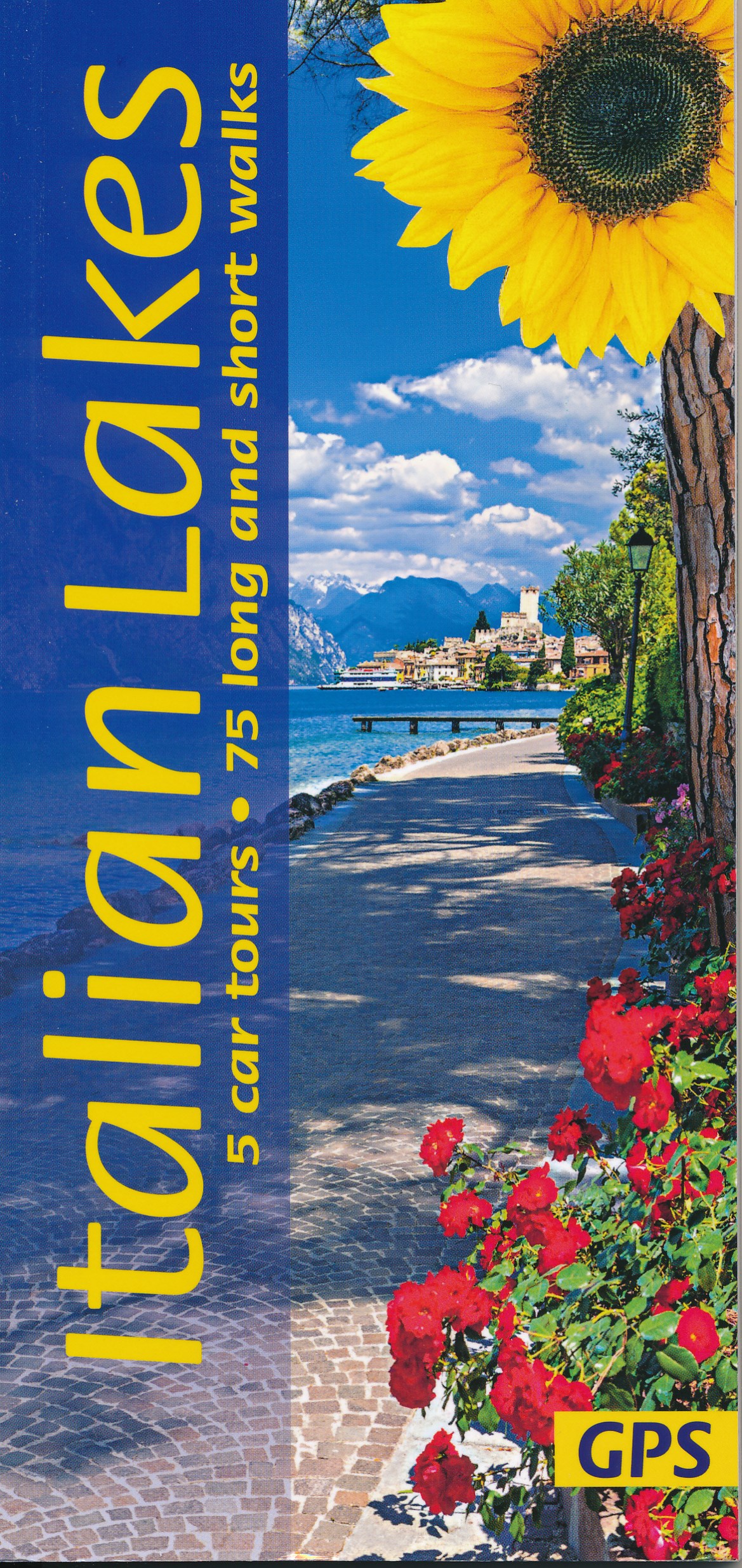
- Wandelgids Italiaanse Meren - Italian Lakes | Sunflower books
- Wandelgids: vele dagtochten worden degelijk beschreven met openbaar vervoer informatie, goede routebeschrijvingen en kaartmateriaal. Tevens enkele autotochten. Deze gids staat goed bekend! Engelstalig 5 car tours, 38 main walks plus many alternative and shorter variations, 21 picnic suggestions The Italian Lakes have long been a 'must' for... Read more
- Also available from:
- Stanfords, United Kingdom

United Kingdom
2018
- Italian Sunflower Landscape Guide
- This new 3rd edition of Italian Lakes has been carefully revised just a few months prior to publication. The topo maps now show waypoints, and free downloadable GPS tracks are available for all the walks. Colour coding on the Contents page enables you to see at a glance the grading of various walks. These great expanses of water, bound to the... Read more
Netherlands
2018
- Reisgids Michelin groene gids weekend Venetië | Lannoo
- Geen tijd te verliezen: je krijgt een uitgebreid blok praktische informatie vanaf pagina 1! Door de handige opdeling van de stad in wijken kun je snel kiezen waar je heen wilt. Op de uitneembare stadsplattegrond vind je alle in de gids besproken restaurants en hotels terug. Met een handige kaart van het openbaar vervoer. Met een... Read more
Netherlands
2020
Netherlands
2016
- Reisgids verleidingen van Florence | Edicola
- Laat je verleiden door Florence, volgens velen de mooiste stad ter wereld. Sublieme schilderkunst, middeleeuwse palazzi en revolutionaire renaissance architectuur strijden met stijlvolle modewinkels om je aandacht in een decor dat al eeuwenlang nauwelijks veranderd is. Florentijnse straten vertellen verborgen verhalen van intriges, raadsels en... Read more
Netherlands
2012
- Reisgids Kunstreiseführer Florence | Dumont
- Von woher man sich auch Florenz nähert, das erste, was man von der Toskana-Metropole wahrnimmt, ist die aus dem Dunstschleier emportauchende Domkuppel. Und mit dem weiten Blick von dort oben beginnt Klaus Zimmermanns seine umfassende Kulturgeschichte der Stadt am Arno. Dabei bürgen Namen wie Giotto, Fra Angelico, Botticelli, Brunelleschi,... Read more
Netherlands
2014
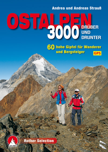
- Wandelgids 3000er Ostalpen. Drüber und drunter | Rother Bergverlag
- Die Gipfel um die Dreitausend Meter sind die Aussichtslogen der Ostalpen. Sie stehen auf der Wunschliste von Wanderern und Bergsteigern meist ganz weit oben. Zwischen Lechtaler Alpen, Ortler, Dolomiten und Tauern findet sich eine breite Auswahl an Bergzielen um diese magische Höhe. Einige lassen sich in einer Tagestour begehen, andere bieten... Read more
Netherlands
2016
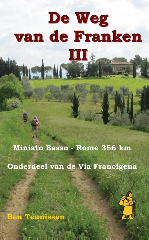
- Wandelgids - Pelgrimsroute De weg van de Franken 3 | Anoda Publishing
- Een praktische wandelgids voor pelgrims naar Rome! Onderdeel van drie delen die de route vanaf Maastricht tot de Sint Bernhardpas (deel I), en van de pas naar Miniato Basso (deel II) zullen beschrijven. Deel III is vanaf medio oktober 2011 verkrijgbaar in de boekhandel. De gids De Weg van de Franken deel III, is onderdeel van een drietal boeken... Read more
Netherlands
2015
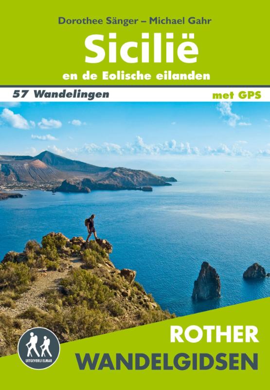
- Wandelgids Sicilië en de Eolische eilanden | Uitgeverij Elmar
- 57 wandelingen op Sicilië en de Eolische eilanden Read more
Kaarten
Netherlands
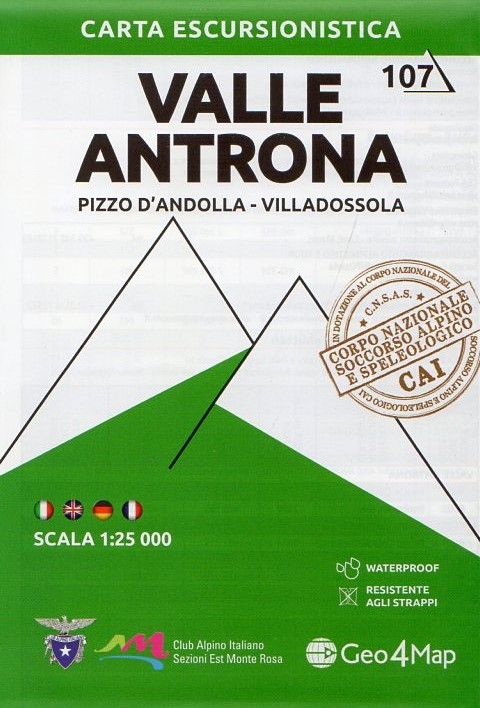
- Wandelkaart 107 Valle Antrona - Pizzo d'Andolla - Villadossola | Geo4Map
- 1:25,000 hiking map to Valle Antrona centred on Antronapiana, including Pizzo d`Andolla, Villadossola and Pieve Vergonte. Published in association with the CAI, the Italian Alpine Club, who are responsible for the trails. Trails are marked on the map. The key information and more detailed information on the rear of the sheet are in Italian,... Read more
- Also available from:
- Stanfords, United Kingdom

United Kingdom
- Valle Antrona - Pizzo d`Andolla - Villadossola Geo4Map 7
- 1:25,000 hiking map to Valle Antrona centred on Antronapiana, including Pizzo d`Andolla, Villadossola and Pieve Vergonte. Published in association with the CAI, the Italian Alpine Club, who are responsible for the trails. Trails are marked on the map. The key information and more detailed information on the rear of the sheet are in Italian,... Read more
Netherlands
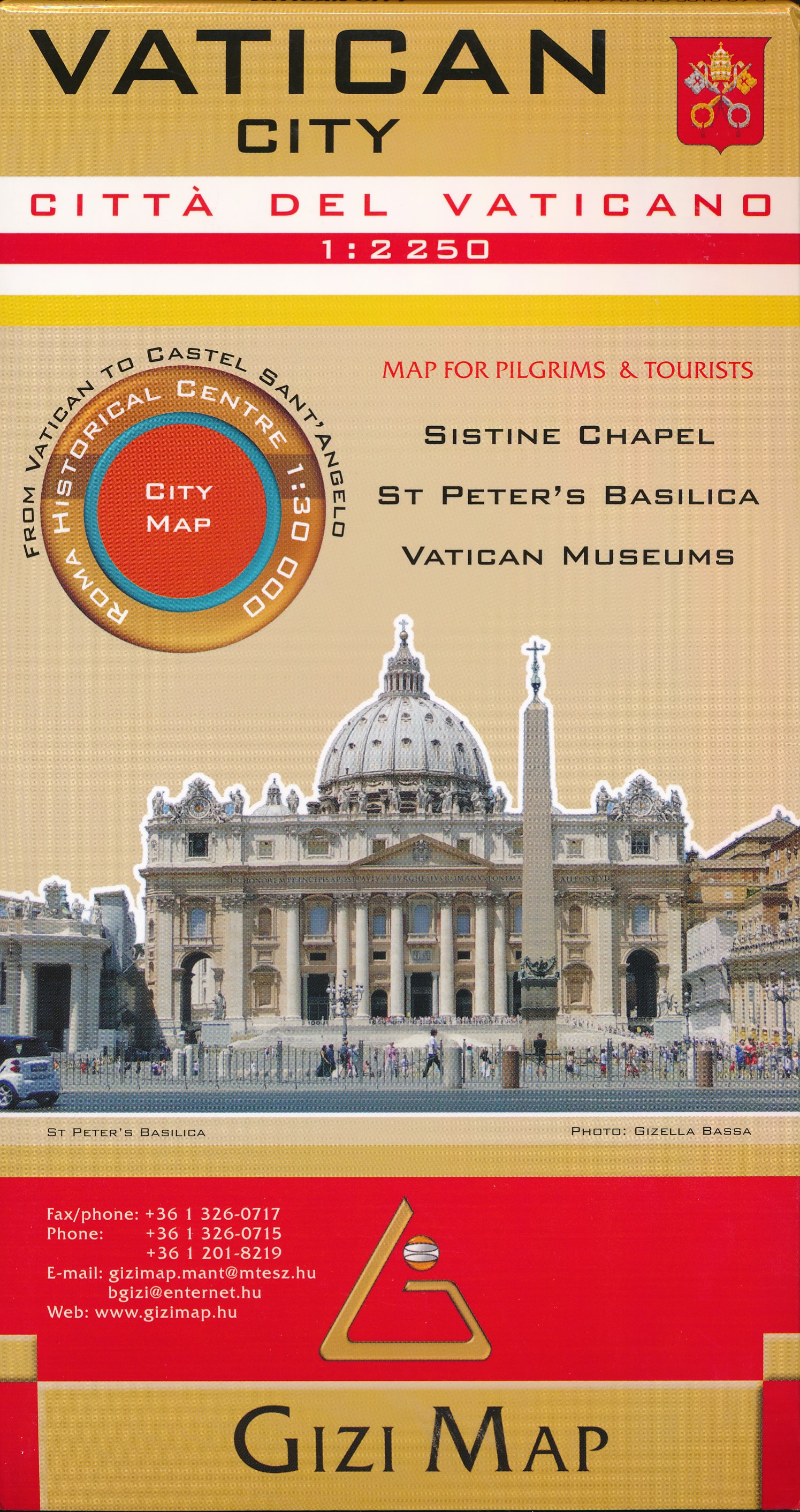
- Wegenkaart - landkaart - Wandelkaart Vaticaan stad | Gizi Map
- Vatican City Map 1 : 2 250 ab 11.99 EURO Map for Pilgrims & Tourists. Sistine Chapel, St Peter´s Basilica, Vativcan Museums. From Vatican to Gizi Map. new edition Read more
Netherlands
2020
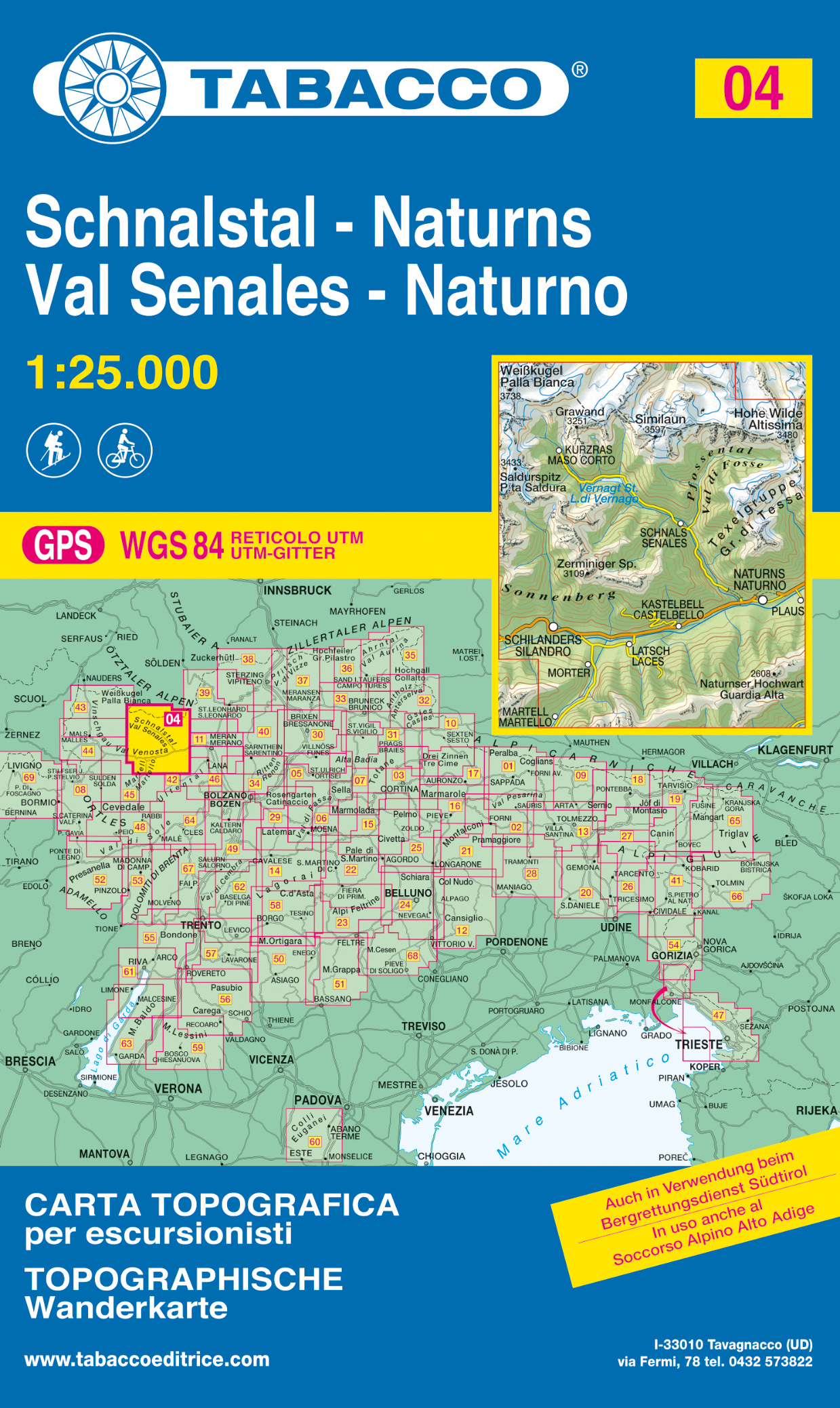
- Wandelkaart 004 Schnalstal - Naturns - Val Senales - Naturno | Tabacco Editrice
- Val Senales/Schnalstal - Naturno/Naturns area in a series of Tabacco maps at 1:25,000 covering the Dolomites and the mountains of north-eastern Italy - Stanfords Read more
- Also available from:
- Stanfords, United Kingdom

United Kingdom
2020
- Val Senales / Schnalstal - Naturno / Naturns Tabacco 04
- Val Senales/Schnalstal - Naturno/Naturns area in a series of Tabacco maps at 1:25,000 covering the Dolomites and the mountains of north-eastern Italy - Stanfords’ most popular coverage for this region, with excellent cartography and extensive overprint for hiking routes and other recreational activities, local bus stops, etc. Additional... Read more
Netherlands
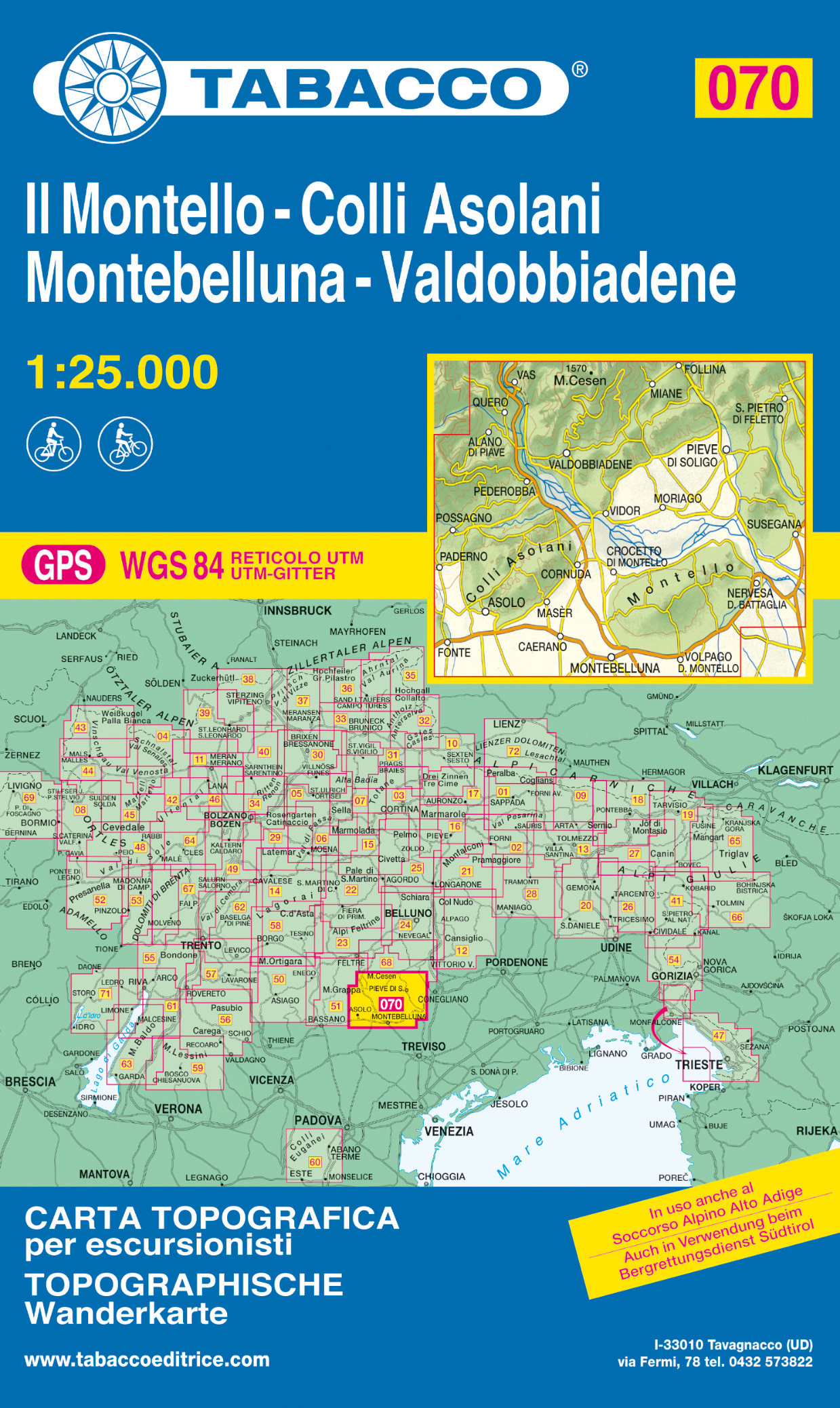
- Wandelkaart 070 Il Montello - Colli Asolani - Montebelluna - Valdobbiadene | Tabacco Editrice
- Monte Grappa - Basano - Feltre in a series of Tabacco maps at 1:25,000 covering the Dolomites and the mountains of north-eastern Italy - Stanfords’ most popular coverage for this region, with excellent cartography and extensive overprint for hiking routes and other recreational activities, local bus stops, etc. Additional overprint in this... Read more
- Also available from:
- Stanfords, United Kingdom

United Kingdom
- Il Montello - Colli Asolani - Montebelluna - Valdobbiadene Tabacco 070
- Monte Grappa - Basano - Feltre in a series of Tabacco maps at 1:25,000 covering the Dolomites and the mountains of north-eastern Italy - Stanfords’ most popular coverage for this region, with excellent cartography and extensive overprint for hiking routes and other recreational activities, local bus stops, etc. Additional overprint in this... Read more

Netherlands
- Wandelkaart 16 Genova, Genua, Varazze, Ovada | IGC - Istituto Geografico Centrale
- Genoa - Varazze - Ovada, map no. 16, in a series contoured hiking maps at 1:50,000 with local trails, long-distance footpaths, mountain accommodation, etc. from the Turin based Istituto Geografico Centrale covering the Italian Alps and Piedmont, the lakes and northern Lombardy, and the Italian Riviera.The maps have contours at 50m intervals,... Read more
- Also available from:
- Stanfords, United Kingdom

United Kingdom
- Genoa - Varazze - Ovada 50K IGC Map No. 16
- The coast of the Italian Riviera and its hinterland around Genoa in a series contoured hiking maps at 1:50,000 with local trails, long-distance footpaths, mountain accommodation, etc. from the Turin based Istituto Geografico Centrale.Maps in this series have contours at 50m intervals, enhanced by shading and graphic relief. An overprint... Read more
Netherlands
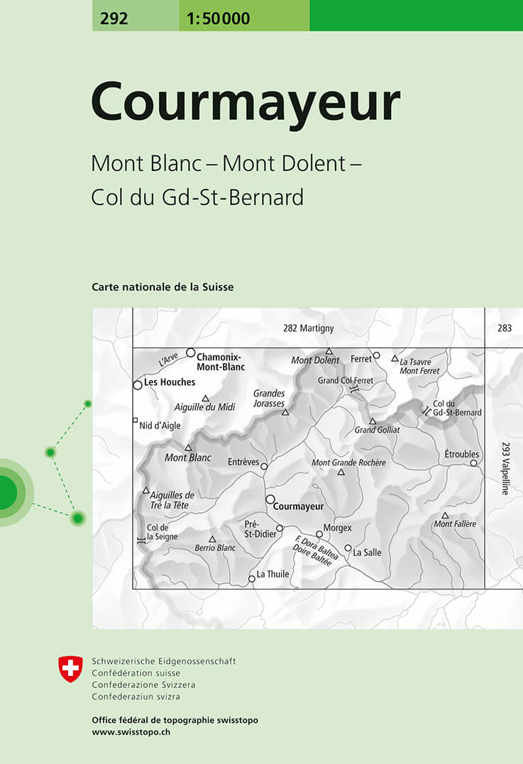
- Wandelkaart - Topografische kaart 292 Courmayeur | Swisstopo
- Courmayeur, map No. 292, in the standard topographic survey of Switzerland at 1:50,000 from Swisstopo, i.e. without the special overprint highlighting walking trails, local bus stops, etc, presented in Swisstopo Read more
- Also available from:
- Stanfords, United Kingdom

United Kingdom
- Courmayeur Swisstopo 292
- Courmayeur, map No. 292, in the standard topographic survey of Switzerland at 1:50,000 from Swisstopo, i.e. without the special overprint highlighting walking trails, local bus stops, etc, presented in Swisstopo’s hiking editions of the 50K survey. The map covers mainly the Italian and the French sides of the border, with only a small part of... Read more
Netherlands
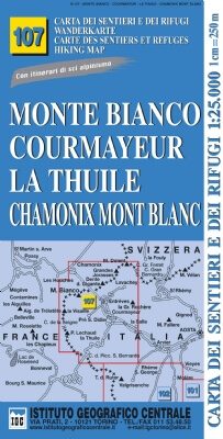
- Wandelkaart 107 Monte Bianco, Courmayeur, Chamonix, la Thuile | IGC - Istituto Geografico Centrale
- Mont Blanc - Courmayeur - Chamonix - La Thuile area at 1:25,000 in a series of contoured, GPS compatible walking maps from the Turin based Istituto Geografico Centrale, highlighting hiking trails including long-distance routes, ski routes and alpine accommodation. The maps have contours at 25m intervals, enhanced by shading and graphic relief... Read more
- Also available from:
- Stanfords, United Kingdom

United Kingdom
- Monte Bianco/Mt. Blanc - Courmayeur - Chamonix - La Thuile 25K IGC Map No. 107
- Mont Blanc - Courmayeur - Chamonix - La Thuile area at 1:25,000 in a series of contoured, GPS compatible walking maps from the Turin based Istituto Geografico Centrale, highlighting hiking trails including long-distance routes, ski routes and alpine accommodation. Maps in this series have contours at 25m intervals, enhanced by shading and... Read more
Netherlands
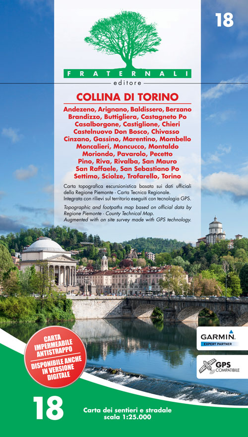
- Wandelkaart 18 Collina de Torino | Fraternali Editore
- Collina di Torino, the hills east of Turin, presented at 1:25,000 in a series of large, contoured and GPS compatible walking maps from Fraternali Editore, printed on light, waterproof and tear-resistant synthetic paper. Maps in this series have topography shown by contour lines at 5m intervals with relief shading, spot heights, and colouring... Read more
- Also available from:
- Stanfords, United Kingdom

United Kingdom
- Collina di Torino
- Collina di Torino, the hills east of Turin, presented at 1:25,000 in a series of large, contoured and GPS compatible walking maps from Fraternali Editore, printed on light, waterproof and tear-resistant synthetic paper. Maps in this series have topography shown by contour lines at 5m intervals with relief shading, spot heights, and colouring... Read more
Netherlands
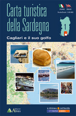
- Wandelkaart 1 Cagliari e il suo Golfo | Abies
- Behoorlijk gedetailleerde toeristische kaart met schaal 1:60,000) van een deel van Sardinië met ingetekende wandel-, fiets-, en Kayakroutes en hoogtelijnen (100 m). Tevens staan allerlei toeristsche plaatsen zoals duikspots, campings, en musea weergegeven. De legenda is in het Italiaans en Engels. GPS-kompatibel (UTM-ED 50) Met deze 12 delige... Read more
Netherlands
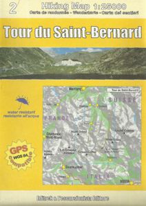
- Wandelkaart Tour du Saint-Bernard | L'Escursionista editore
- Tour of Saint-Bernard long-distance hiking route presented on a waterproof and tear-resistant, contoured and GPS compatible map at 1:25,000 published jointly by L Read more
- Also available from:
- Stanfords, United Kingdom

United Kingdom
- Tour of Saint-Bernard L`Escursionista Editore Map-Guide
- Tour of Saint-Bernard long-distance hiking route presented on a waterproof and tear-resistant, contoured and GPS compatible map at 1:25,000 published jointly by L’Escursionista Editore and Editrek, plus a separate multilingual guide booklet with stage by stage descriptions and other tourist information.Contour interval is 25m and the map has... Read more
Netherlands
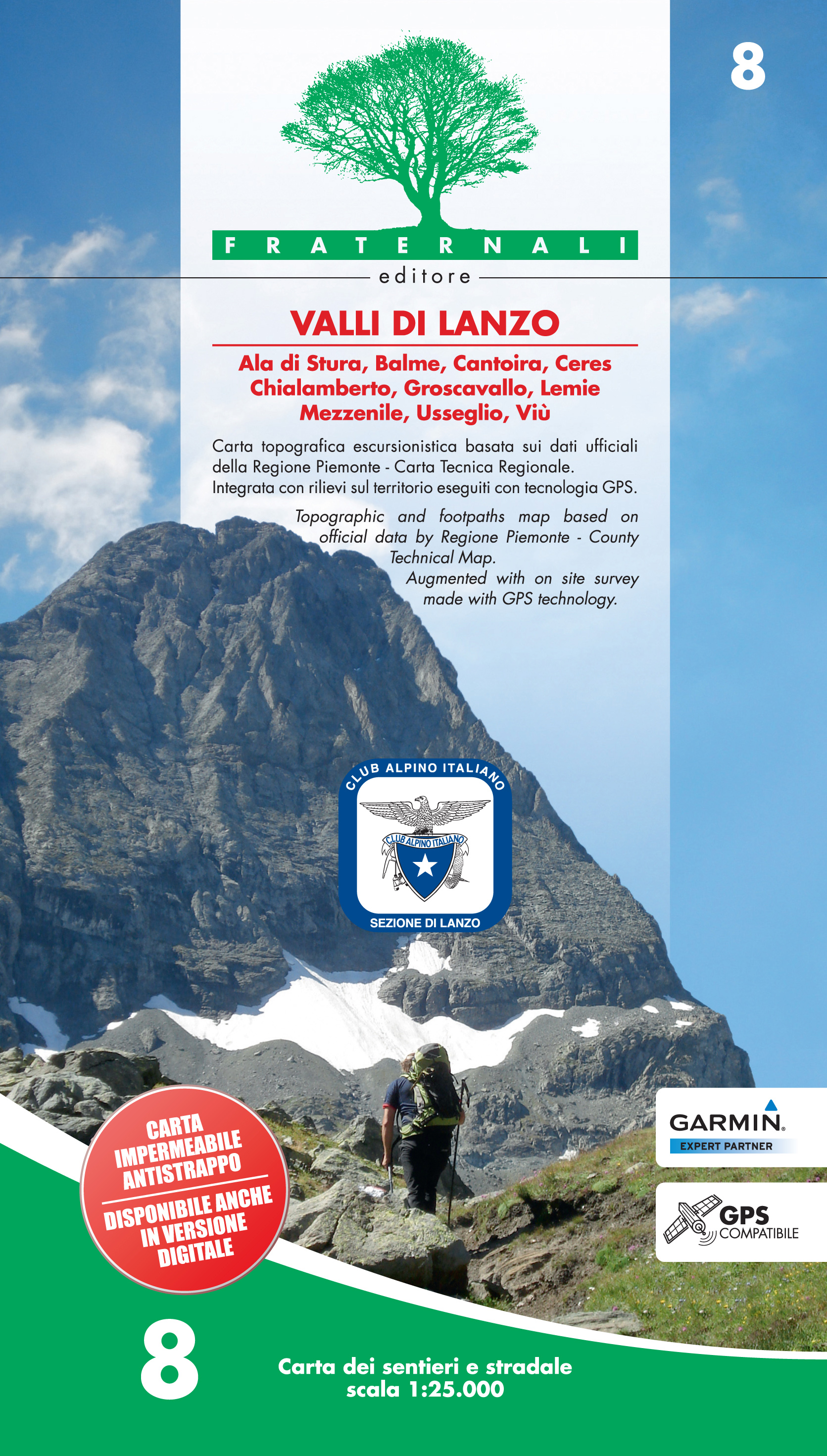
- Wandelkaart 08 Valli di Lanzo | Fraternali Editore
- Gebied: Ala di Stura, Balme, Cantoira, Ceres, Chialamberto, Groscavallo, Lemie, Mezzenile, Usseglio, Viù Een uitstekende wandelkaart van de westkant van Italie waar tot voor kort geen echt goede kaarten beschikbaar waren. De lokale uitgeverij Fraternali heeft een prachtige serie gemaakt van wandelkaarten met schaal 1:25.000. De kaarten zijn... Read more
- Also available from:
- Stanfords, United Kingdom

United Kingdom
- Valli di Lanzo Fraternali Editore 08
- Valli di Lanzo in the Italian Alps presented at 1:25,000 in a series of large, contoured and GPS compatible walking maps from Fraternali Editore, printed on light, waterproof and tear-resistant synthetic paper. Maps in this series have topography shown by contour lines at 5m intervals with relief shading, spot heights, and colouring and/or... Read more
Netherlands
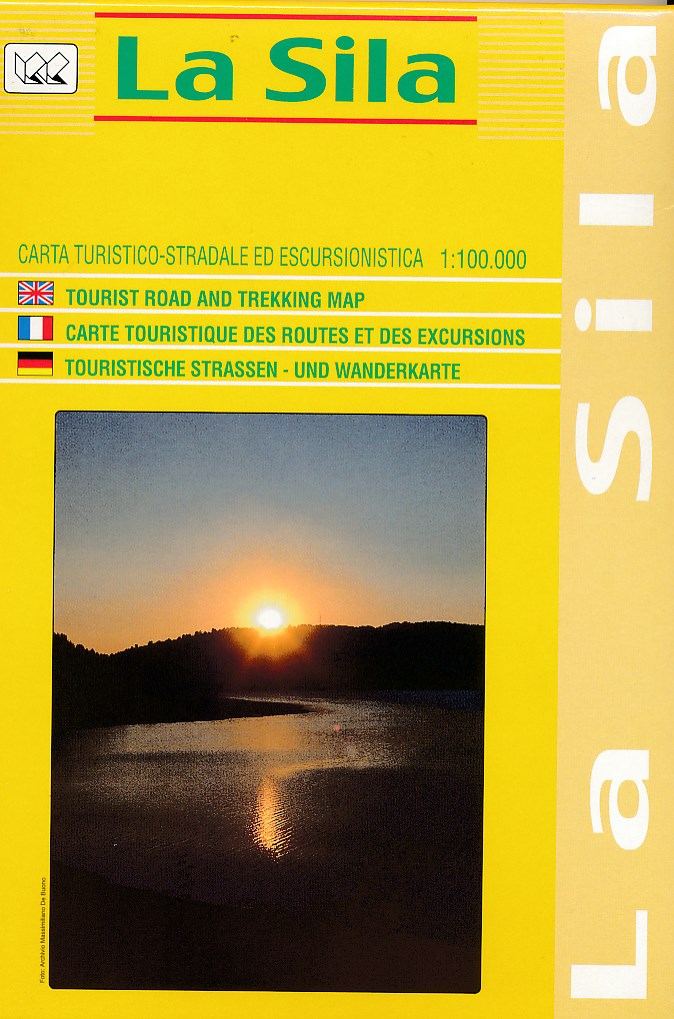
- Wegenkaart - landkaart - Wandelkaart La Sila | Global Map
- Gedetaileerde wegen- en wandelkaart van een deel van Italië; in dit geval van een deel van de hak van de laars in Calabrië. Mooi kleurgebruik en met symbolen worden campings en hutten weergegeven. Ingetekend zijn de doorgaande wandelpaden waardoor deze kaart voor trekkings redelijk geschikt is. De kaart dekt het gebied tussen Rossano,... Read more
.jpg)
Netherlands
- Wandelkaart - Topografische kaart 15 Monti Reatini - Terminillo | Edizione il Lupo
- Wandelkaart, gebaseerd op de topografische kaarten. Met ingetekende wandelroutes. Deel van Lazio. Map of the Terminillo climbs 1:25000 on basic IGM Paths CAI, paths in MTB, alpine ski and ski country Map forehead-back, the back contains two enlargements 1:15000 (summer and winter) of the central zone. The map also brings the indications of the... Read more
Netherlands
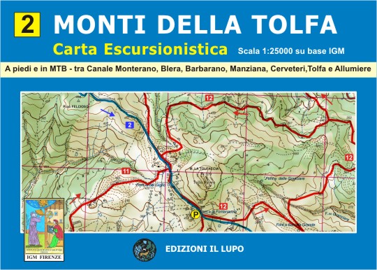
- Wandelkaart 02 Monti della Tolfa | Edizione il Lupo
- Topografische wandelkaart 1:25.000 met wandelroutes en mountain bike routes ingetekend, gebaseerd op kaarten van de topografische dienst. A peidi e in MTB - tra Canale Monterano, Biera, Barbarano, Manziana, Cerveteri, Tolfa e Allumiere Read more