
Ardennes
Beschrijving
Kaart

Paden in deze regio
- Alzette PathGPX
- Attert PathGPX
- Charles Mathieu PathGPX
- Clervaux - Our
- E2GPX
- E3GPX
- Eisléck PathGPX
- Fred Welter Path
- GR122 - ScheldelandGPX
- GR125 - Tour de l'Entre-Sambre-et-MeuseGPX
- GR126 - Brussel-Namen-Membre sur SamoisGPX
- GR14 - Sentier de l'ArdenneGPX
- GR15 - AE - Ardennes-EifelGPX
- GR5GPX
- GR56 - Hautes Fagnes - EifelGPX
- GR57 - Vallée de l'OurtheGPX
- GR570 - Pays des Trois FrontièresGPX
- GR571 - Vallées des LégendesGPX
- GR575 - Tour du Condroz NamuroisGPX
- GR576 - Tour du Condroz LiégeoisGPX
- GR577 - Tour de la FamenneGPX
- GR579 - Brussels - LiègeGPX
- Little Switzerland PathGPX
- Lower-Sûre Path
- Mamer PathGPX
- Maurice Cosyn PathGPX
- Mëllerdall Path
- Müllerthal TrailGPX
- Moselle PathGPX
- North PathGPX
- Our PathGPX
- Panorama PathGPX
- Path of the MineworkersGPX
- Préizerdaul PathGPX
- Remerschen - HellangeGPX
- Rhine-Meuse Trail
- Schengen – Hellange
- South LuxembourgGPX
- South PathGPX
- Tour de la Vesdre
- Transardense Route
- Upper-Sûre Lake PathGPX
- Upper-Sûre PathGPX
- Valley of the 7 CastlesGPX
- Victor Hugo PathGPX
- Wiltz PathGPX
Links
Feiten
Verslagen
Gidsen en kaarten
Overnachting
Organisaties
Reisorganisaties
GPS
Anders
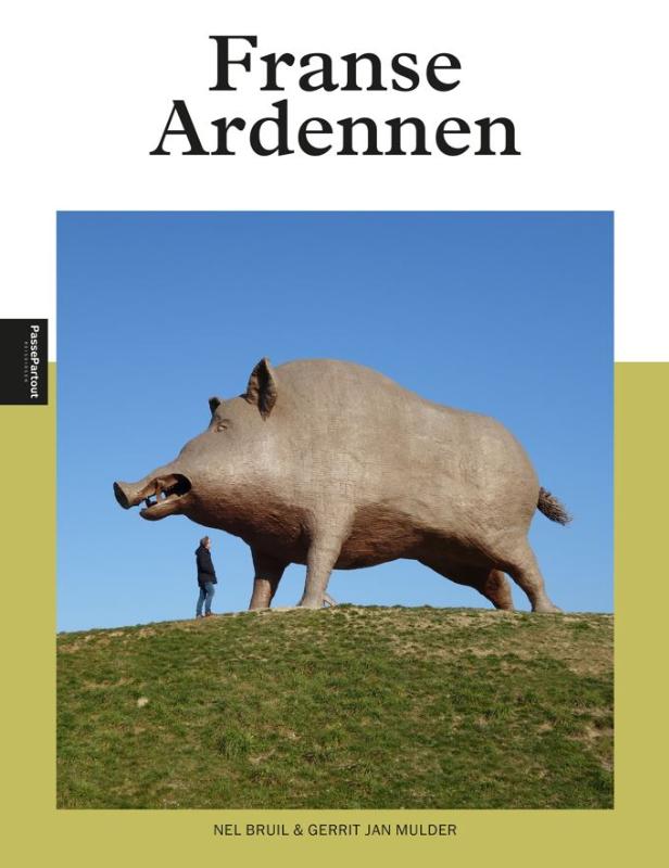
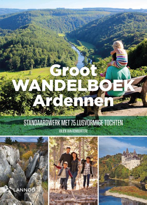
Boeken
De Zwerver
Netherlands
2021
Netherlands
2021

De Zwerver
Netherlands
2021
Netherlands
2021
- Wandelgids 265 Vogesen - Durchquerung: GR53 GR5 | Rother Bergverlag
- In 37 etappes over de Lange Astands Wandelingen GR 53, GR 5 en GR 531 van Wissembourg naar Giromagny en Masevaux door de prachtige Vogezen. Goed alternatief voor de langverwachte maar nog steeds niet uitgekomen Crete des Vosges wandelgids van FFRP. Duitse samenvatting: Die Vogesen sind nicht nur eines der urwüchsigsten Mittelgebirge in unseren... Read more
De Zwerver
Netherlands
2004
Netherlands
2004
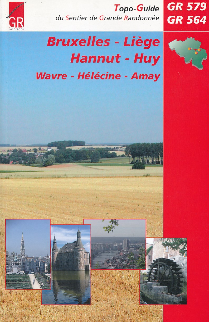
- Wandelgids Bruxelles - Liege - Hannut - Huy | GR Sentiers
- De GR 579 start bij de wandelboom achter de Sint Michielskathedraal in Brussel; op die plaats komen ook de GR 12 en de GR 126 voorbij. Van Brussel gaat het door het Terkamerenbos en Watermael-Bosvoorde naar het Zoniënwoud. Als je dat verlaat kruis je in Huldenberg de GR 512 om door een glooiend landschap naar Pécrot op Waals grondgebied te... Read more
De Zwerver
Netherlands
2021
Netherlands
2021
De Zwerver
Netherlands
2016
Netherlands
2016
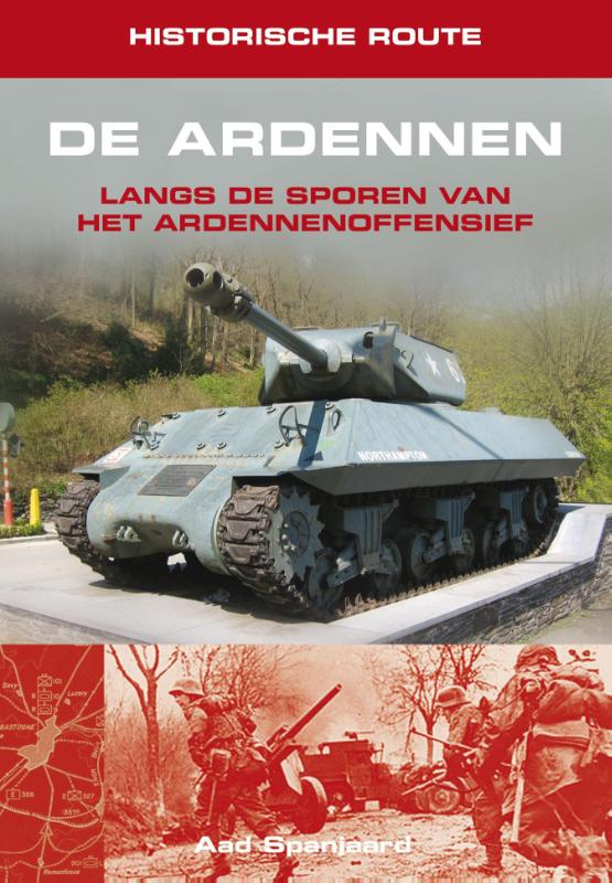
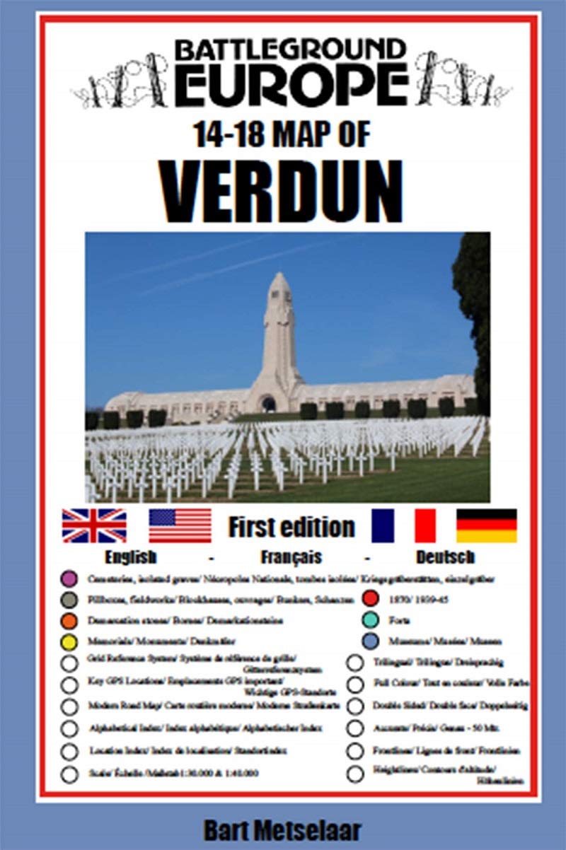
- Reisgids Historische Route De Ardennen | Uitgeverij Elmar
- In augustus 1944 leken de dagen voor Hitlers Derde Rijk geteld. Op het westelijke front dreven de geallieerden de Duitse troepen steeds meer terug richting de Duitse grens en in het oosten verloren de Duitsers steeds meer terrein aan de oprukkende Russische legers. De algemene opinie was dat de oorlog vóór kerstmis 1944 wel voorbij zou zijn.... Read more

De Zwerver
Netherlands
2021
Netherlands
2021
De Zwerver
Netherlands
2018
Netherlands
2018
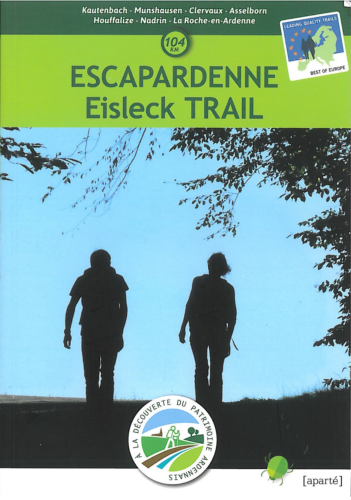
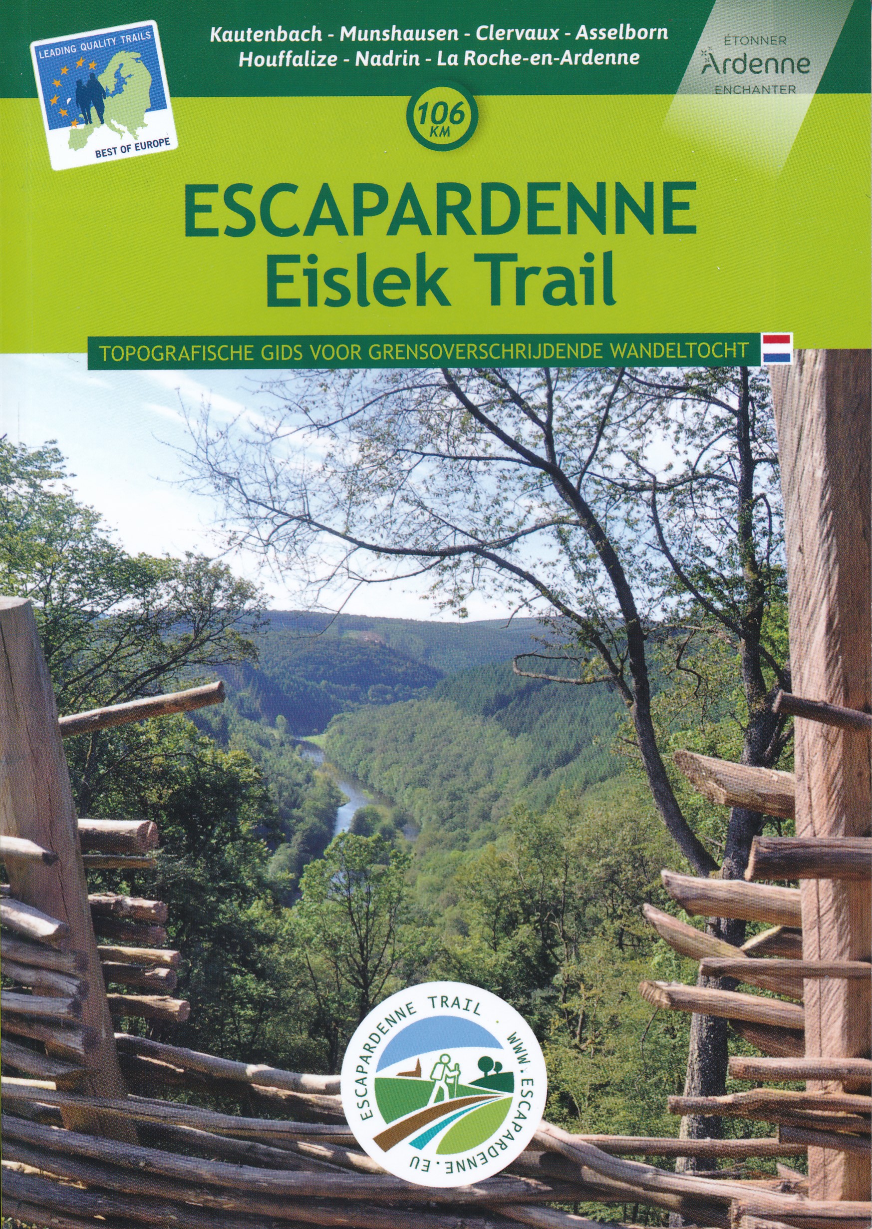
- Wandelgids Escarpardenne Eisleck Trail | Grande Traversee Ardennes
- Escapardenne Eisleck Trail loopt over 104 km van Kautenbach naar La-Roche-en-Ardenne door een schitterend deel van de Ardennen. Een nieuw langeafstandspad dat het Groothertogdom Luxemburg verbindt met de Waalse provincie Luxemburg. Grensoverschrijdend dus en niet alleen letterlijk! Dit is het eerste wandelpad in de Benelux dat werd ontworpen... Read more
De Zwerver
Netherlands
2022
Netherlands
2022
Kaarten
De Zwerver
Netherlands
2022
Netherlands
2022
De Zwerver
Netherlands
Netherlands
- Also available from:
- Stanfords, United Kingdom

Stanfords
United Kingdom
United Kingdom
- Saint-Hubert NGI Topo 59
- Topographical survey of Belgium at 1:50,000 from the country’s national survey organization, Nationaal Geografisch Instituut / Institut Géographique National. Contour interval varies according to the terrain, from 2.5 metres in the coastal areas to 10 metres in the Ardennes. The maps provide all the information expected of topographic mapping... Read more
De Zwerver
Netherlands
Netherlands
- Wandelkaart 178 Pays des Condruses - Land der Condruzen | NGI - Nationaal Geografisch Instituut
- Gedetailleerde wandelkaart van een bepaald gebied in de Belgische Ardennen. Veel ingetekende route en met symbolen worden alle toeristische aspecten weergegeven. Uitstekende kaart om vanuit een vast standplaats dagtochten te maken. 65 ingetekende wandelroutes Read more

De Zwerver
Netherlands
Netherlands
- Also available from:
- Stanfords, United Kingdom

Stanfords
United Kingdom
United Kingdom
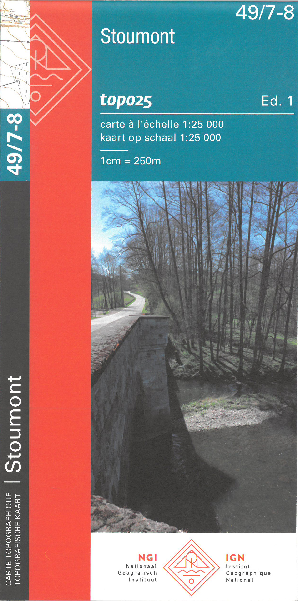
- Stoumont NGI Topo 49/7-8
- Topographical survey of Belgium at 1:20,000 from Nationaal Geografisch Instituut / Institut Géographique National, the country’s national survey organization. Each 20K map covers one quarter of the corresponding 1:50,000 map (with adjustments in the border and coastal areas). The maps provide all the information expected of topographic mapping... Read more
De Zwerver
Netherlands
Netherlands
- Also available from:
- Stanfords, United Kingdom

Stanfords
United Kingdom
United Kingdom
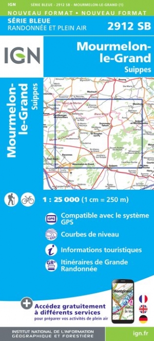
- Mourmelon-le-Grand - Suippes IGN 2912SB
- Topographic survey of France at 1:25,000 in IGN`s excellent TOP25 / Série Bleue series. All the maps are GPS compatible, with a 1km UTM grid plus latitude and longitude lines at 5’ intervals. Contours are at 5m intervals except for mountainous areas where the maps have contours at 10m intervals, vividly enhanced by hill shading and graphics for... Read more
De Zwerver
Netherlands
Netherlands
- Also available from:
- Stanfords, United Kingdom
Stanfords
United Kingdom
United Kingdom
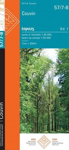
- Couvin NGI Topo 57/7-8
- Topographical survey of Belgium at 1:20,000 from Nationaal Geografisch Instituut / Institut Géographique National, the country’s national survey organization. Each 20K map covers one quarter of the corresponding 1:50,000 map (with adjustments in the border and coastal areas). The maps provide all the information expected of topographic mapping... Read more
De Zwerver
Netherlands
Netherlands
- Also available from:
- Stanfords, United Kingdom

Stanfords
United Kingdom
United Kingdom
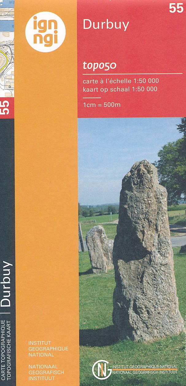
- Durbuy NGI Topo 55
- Topographical survey of Belgium at 1:50,000 from the country’s national survey organization, Nationaal Geografisch Instituut / Institut Géographique National. Contour interval varies according to the terrain, from 2.5 metres in the coastal areas to 10 metres in the Ardennes. The maps provide all the information expected of topographic mapping... Read more
De Zwerver
Netherlands
2021
Netherlands
2021