
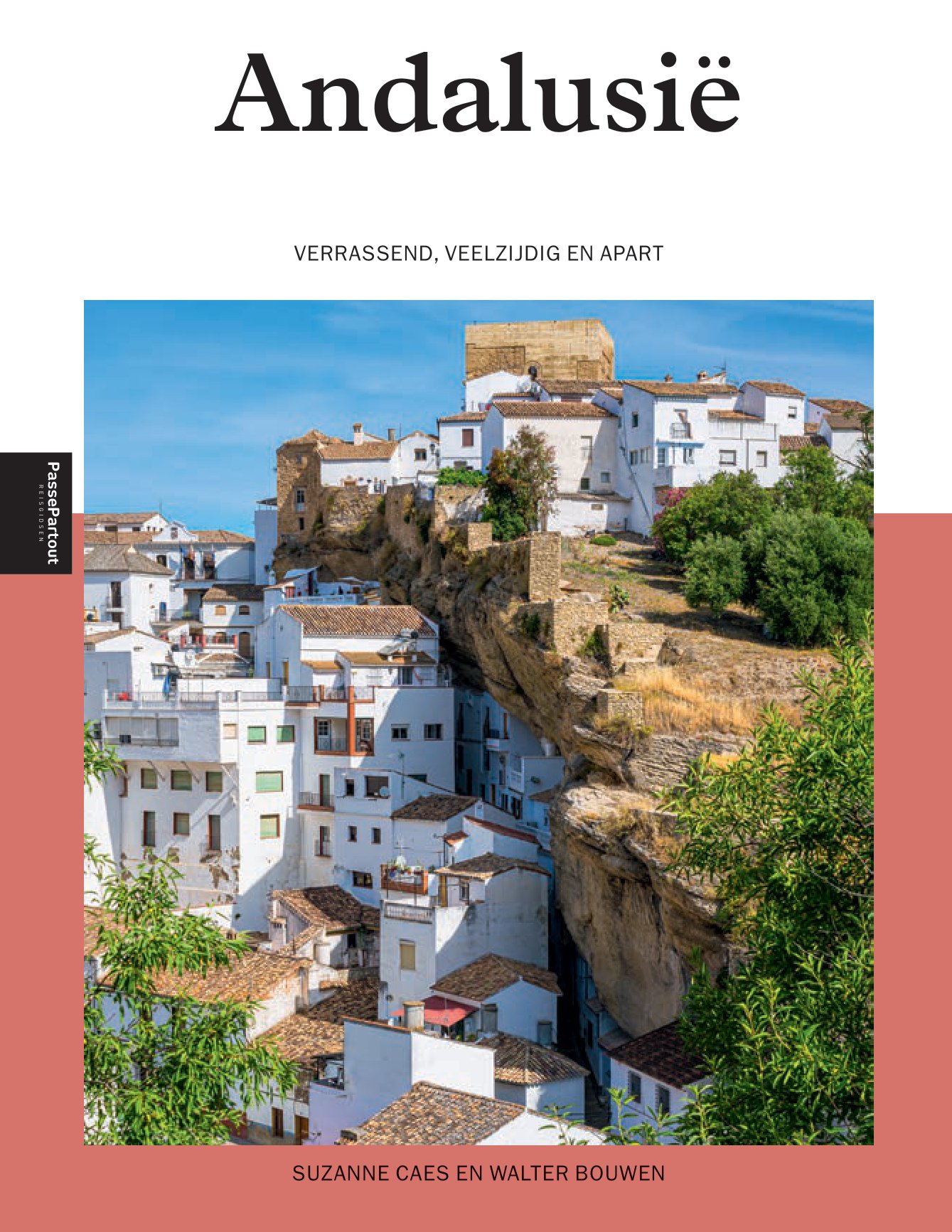
Andalucía
Beschrijving
Kaart

Paden in deze regio
- GR100 Ruta de la PlataGPX
- GR140 Puerto de la Ragua - Cabo de GataGPX
- GR142 Sendero de la AlpujarraGPX
- GR143 Sendero de Almeria
- GR144 Ruta de la TrashumanciaGPX
- GR146 Ruta Monte y Olivo
- GR147 Sierra ProfundaGPX
- GR148 Tahal - Abrucena
- GR240 Sendero SulayrGPX
- GR39 Cañada de la MestaGPX
- GR40 Cañada Real SorianaGPX
- GR41 Cordel de las BuervasGPX
- GR42 Cañada Real Leonesa OccidentalGPX
- GR43 Cordel de la CampiñaGPX
- GR44 Sender de SaragossaGPX
- GR47 Camino de las MinasGPX
- GR48 Sierra MorenaGPX
- GR7 Andorra - TarifaGPX
- GR92 Sender MediterraneoGPX
Links
Feiten
Verslagen
Gidsen en kaarten
Overnachting
Organisaties
Reisorganisaties
GPS
Anders
Boeken
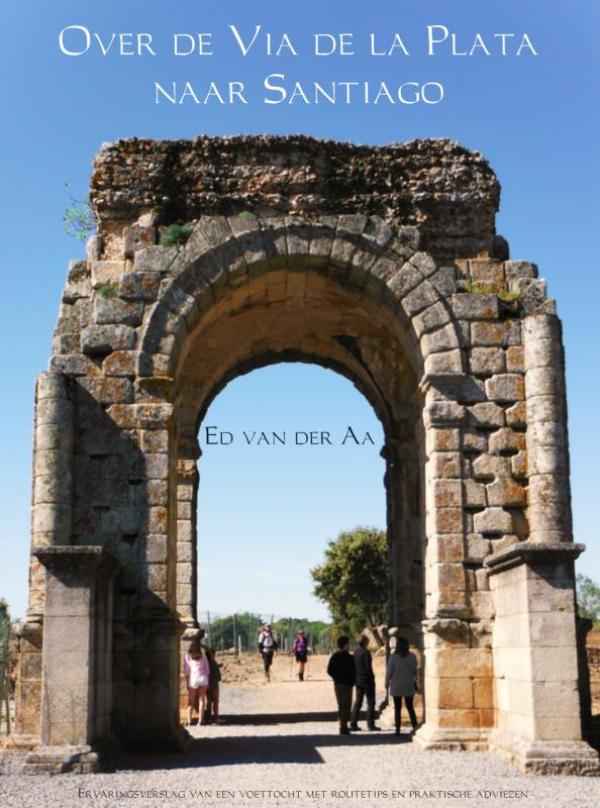
De Zwerver
Netherlands
2020
Netherlands
2020
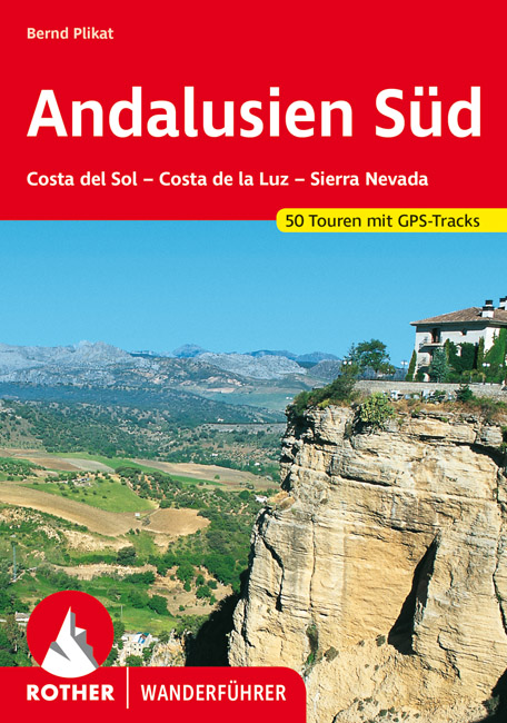
- Wandelgids 267 Andalusië süd - zuid - Costa del Sol - Costa de la Luz - Sierra Nevada | Rother Bergverlag
- Duitstalige wandelgids met zeer goed beschreven wandelingen in de genoemde gebieden. Redelijk kaartmateriaal, vooral de beschrijving van de route en de praktische info die er bij hoort is goed. Andalusien Süd – vom Cabo de Trafalgar bis zum Cabo de Gata Andalusien, die südlichste Region des spanischen Festlandes, vereint in kleinerem Maßstab... Read more
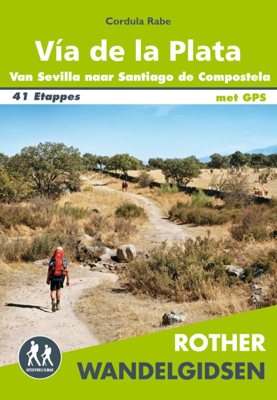
De Zwerver
Netherlands
2019
Netherlands
2019
De Zwerver
Netherlands
2022
Netherlands
2022
De Zwerver
Netherlands
2018
Netherlands
2018
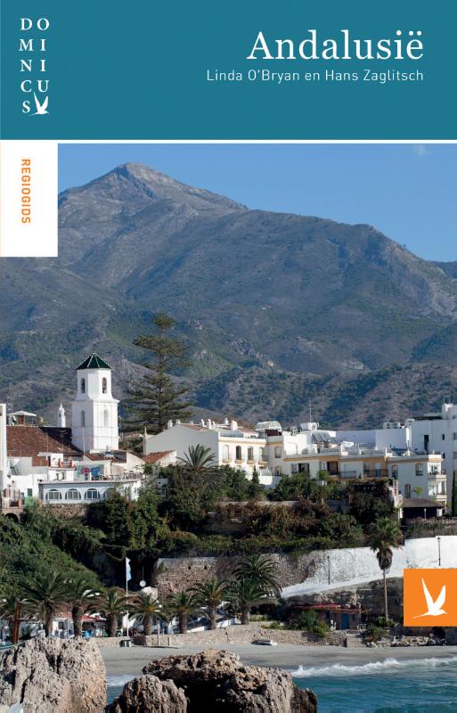
- Reisgids Dominicus Andalusië | Gottmer
- Rijk geillustreerde gids met nadruk op historische en culturele hoogtepunten. Daarnaast nog veel besprekingen van toeristische plaatsen. Zonder meer een complete gids. Een prettig leesboek voor, tijdens en achteraf de reis. Andalusië: warmte, de zon op je huid, je voeten in het zand. En flamenco, tapas en sherry. Andalusië is een gebied met... Read more
De Zwerver
Netherlands
2023
Netherlands
2023
De Zwerver
Netherlands
2017
Netherlands
2017
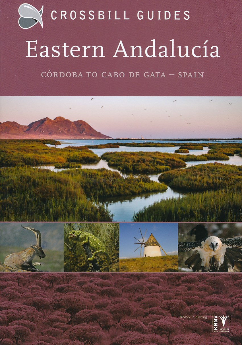
- Natuurgids - Reisgids Crossbill Guides Eastern Andalucia - Andalusie oost | KNNV Uitgeverij
- Een prachtige reisgids over het oosten van Andalusië. Rijk geïllustreerd met foto's en kaarten en veel nuttige informatie voor de natuurliefhebber. Onmisbaar voor een unieke natuurvakantie in pure wildernis. Beschrijft de volgende gebieden: Cordoba, Jaen, Granada en Almeria. de enige reisgids die flora en fauna, en vogels beschrijft... Read more
De Zwerver
Netherlands
2023
Netherlands
2023
De Zwerver
Netherlands
2019
Netherlands
2019
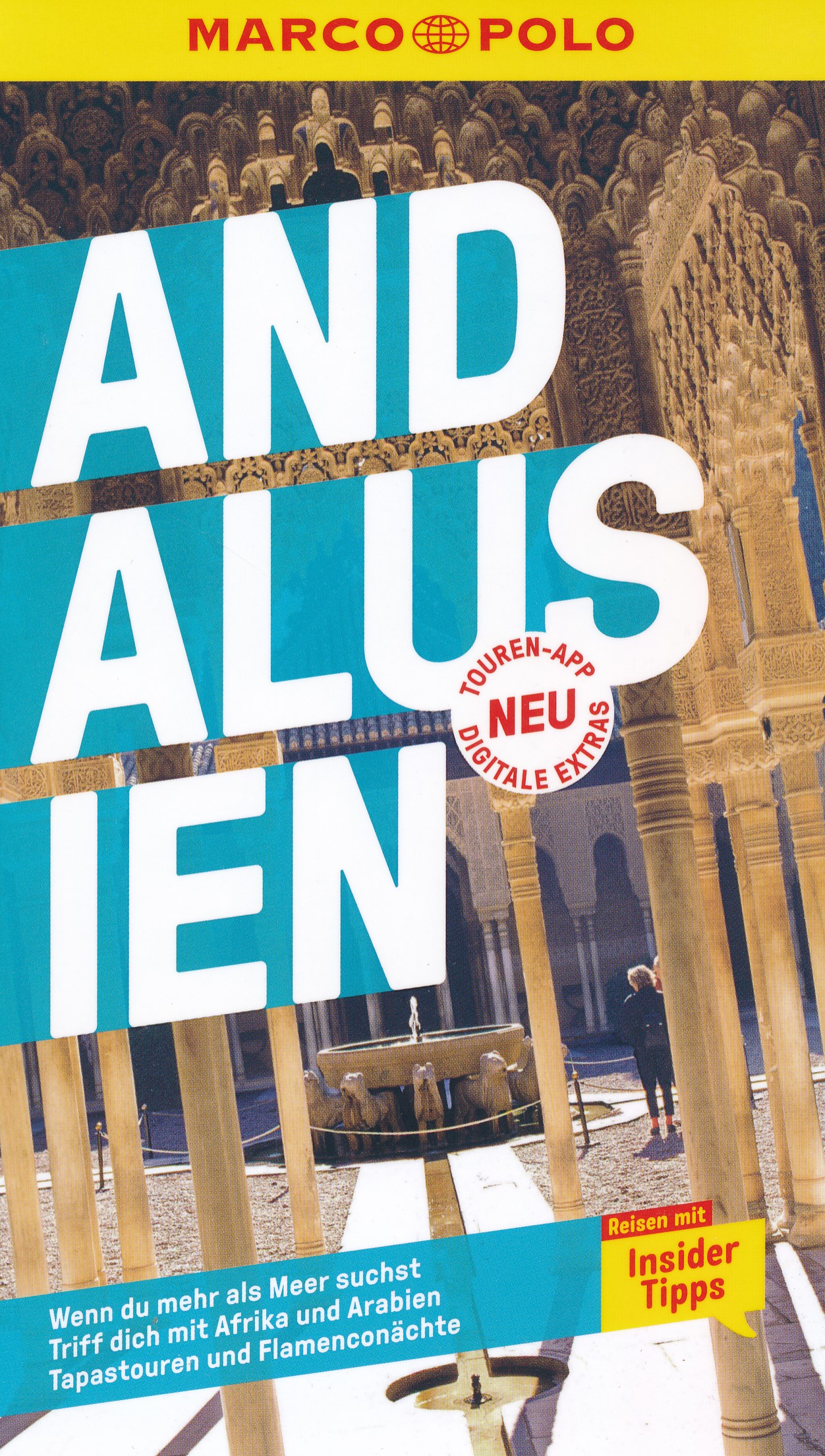
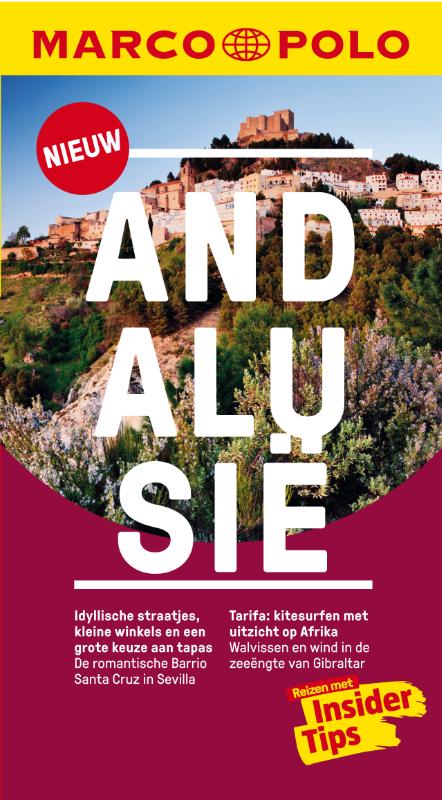
- Reisgids Marco Polo NL Andalusië | 62Damrak
- Eindelijk zijn ze er weer: de Nederlandse versie van de alom bekende en gewaardeerde serie van Marco Polo. Het is een handige en overzichtelijke, kleine reisgids voor een goede kennismaking met Andalusië. Globale uitklapkaart achterin, makkelijk binnenzakformaat. Toch best veel aandacht voor de toeristische hoogtepunten en leuke tips van en... Read more
Meer boeken…

Kaarten

De Zwerver
Netherlands
Netherlands
- Pelgrimsroute (kaart) - Wandelkaart Camino de Santiago in Spanje | CNIG - Instituto Geográfico Nacional
- All roads leading to Santiago de Compostela in the Iberian Peninsula are represented on this Caminos de Santiago / The Way of St. James Map. Routes highlighted on a physical map of the Iberian Peninsula at 1:1,250,000 from IGN/CNIG, Spain civilian topographic survey organization. The base map with altitude colouring and relief shading provides... Read more
- Also available from:
- Stanfords, United Kingdom

Stanfords
United Kingdom
United Kingdom
- Caminos de Santiago / Ways of St. James on the Iberian Peninsula CNIG Overview Map
- All roads leading to Santiago de Compostela in the Iberian Peninsula are represented on this Caminos de Santiago / The Way of St. James Map. Routes highlighted on a physical map of the Iberian Peninsula at 1:1,250,000 from IGN/CNIG, Spain civilian topographic survey organization. The base map with altitude colouring and relief shading provides... Read more
De Zwerver
Netherlands
2013
Netherlands
2013
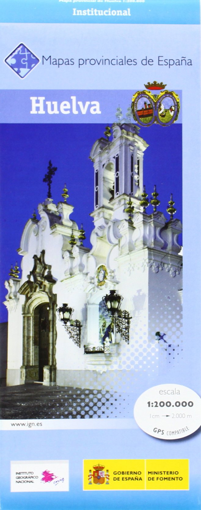
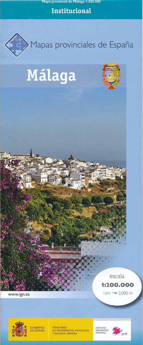
- Wegenkaart - landkaart Mapa Provincial Huelva | CNIG - Instituto Geográfico Nacional
- Huelva Province in a series of contoured, GPS-compatible, indexed road maps at 1:200,000 from the IGN - CNIG, Spain Read more
- Also available from:
- Stanfords, United Kingdom

Stanfords
United Kingdom
2013
United Kingdom
2013
- Huelva Province 200K CNIG Map No. 21
- Contoured, GPS-compatible, indexed road map at 1:200,000 from CNIG - Spain’s civilian survey organization, with exceptionally informative presentation of the landscape and highlighting for facilities and places of interest including campsites and paradors.Maps in CNIG’s 200K Provincial Series provide an excellent picture the topography through... Read more
De Zwerver
Netherlands
2018
Netherlands
2018
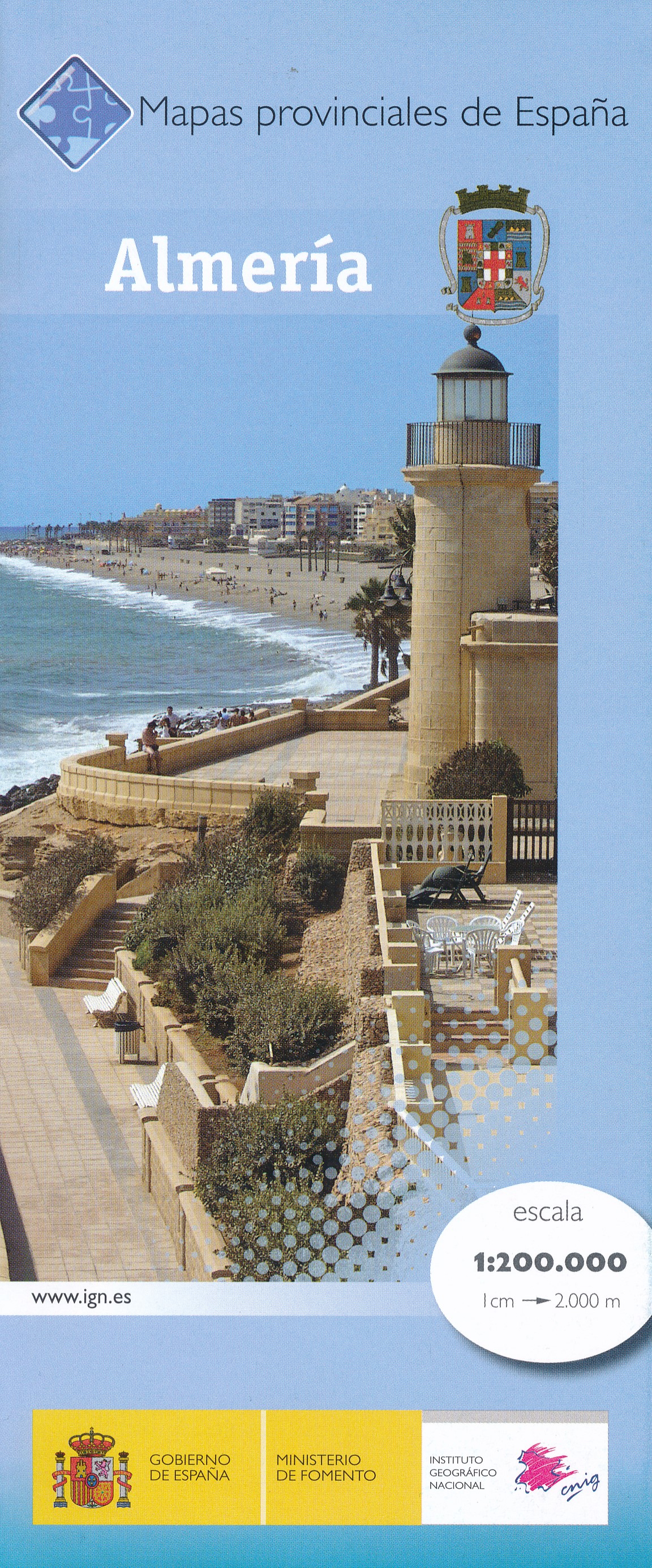
- Wegenkaart - landkaart Mapa Provincial Almeria | CNIG - Instituto Geográfico Nacional
- Contoured, GPS-compatible, indexed road map at 1:200,000 from CNIG - Spain’s civilian survey organization, with exceptionally informative presentation of the landscape and highlighting for facilities and places of interest including campsites and paradors.Maps in CNIG’s 200K Provincial Series provide an excellent picture the topography through... Read more
- Also available from:
- Stanfords, United Kingdom

Stanfords
United Kingdom
2018
United Kingdom
2018
- Almeria Province 200K CNIG Map No. 4
- Contoured, GPS-compatible, indexed road map at 1:200,000 from CNIG - Spain’s civilian survey organization, with exceptionally informative presentation of the landscape and highlighting for facilities and places of interest including campsites and paradors.Maps in CNIG’s 200K Provincial Series provide an excellent picture the topography through... Read more
De Zwerver
Netherlands
Netherlands
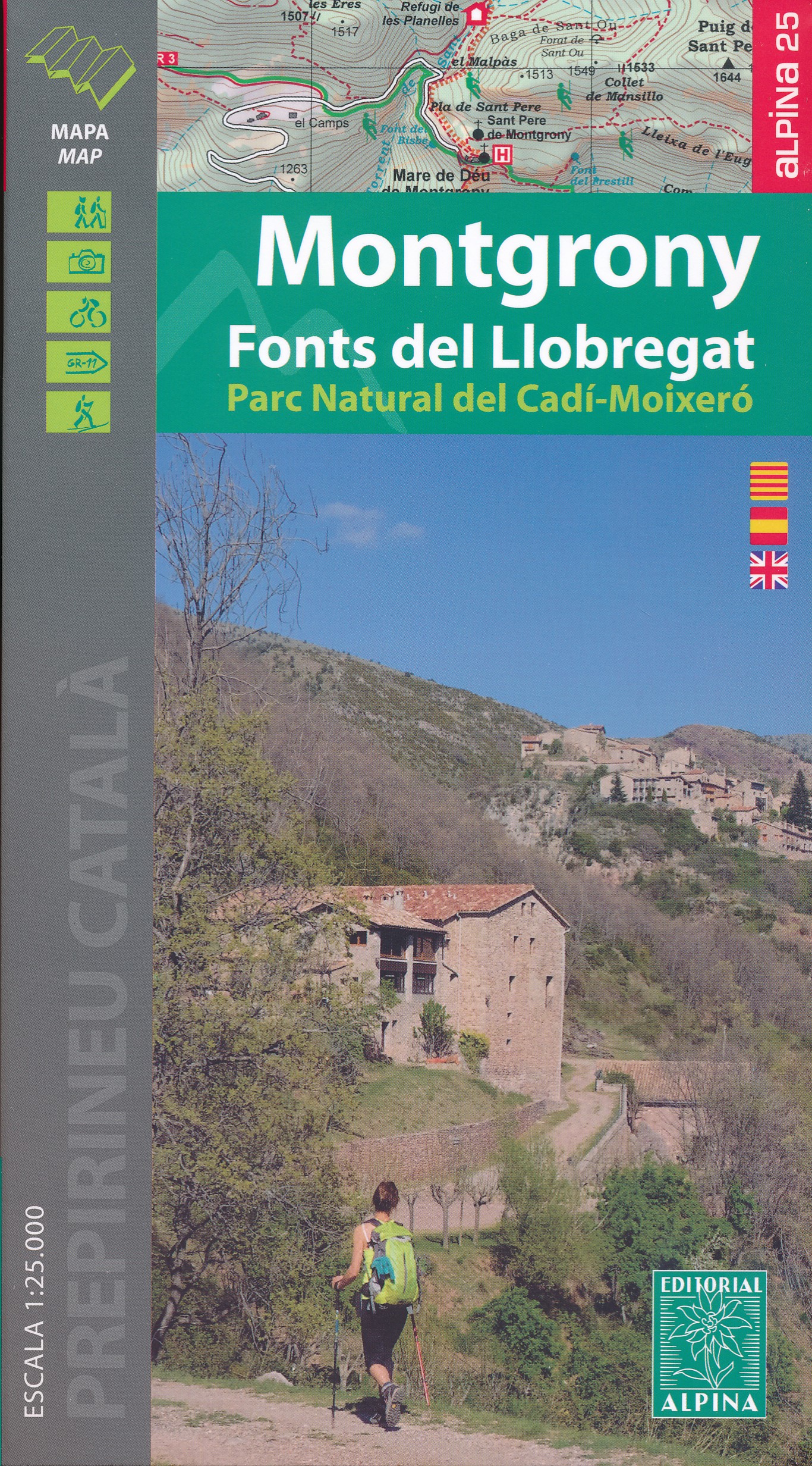
- Wandelkaart 38 Montgrony - Fonts del Llobregat | Editorial Alpina
- Montgrony in an extensive and very popular series of walking maps from Editorial Alpina covering the Pyrenees, Catalonia and other selected hiking areas in Spain, including Picos de Europa, Sierra Nevada and parts of Andalucía, Majorca, etc. Scales vary from 1:50,000 to 1:10,000, with the majority of the titles at 1:25,000. The maps have... Read more
- Also available from:
- Stanfords, United Kingdom

Stanfords
United Kingdom
United Kingdom
- Montgrony - Fonts del Llogregat - Parc Natural del Cadí-Moixerò Editorial Alpina
- Montgrony in an extensive and very popular series of walking maps from Editorial Alpina covering the Pyrenees, Catalonia and other selected hiking areas in Spain, including Picos de Europa, Sierra Nevada and parts of Andalucía, Majorca, etc. Scales vary from 1:50,000 to 1:10,000, with the majority of the titles at 1:25,000. The maps have... Read more
De Zwerver
Netherlands
Netherlands
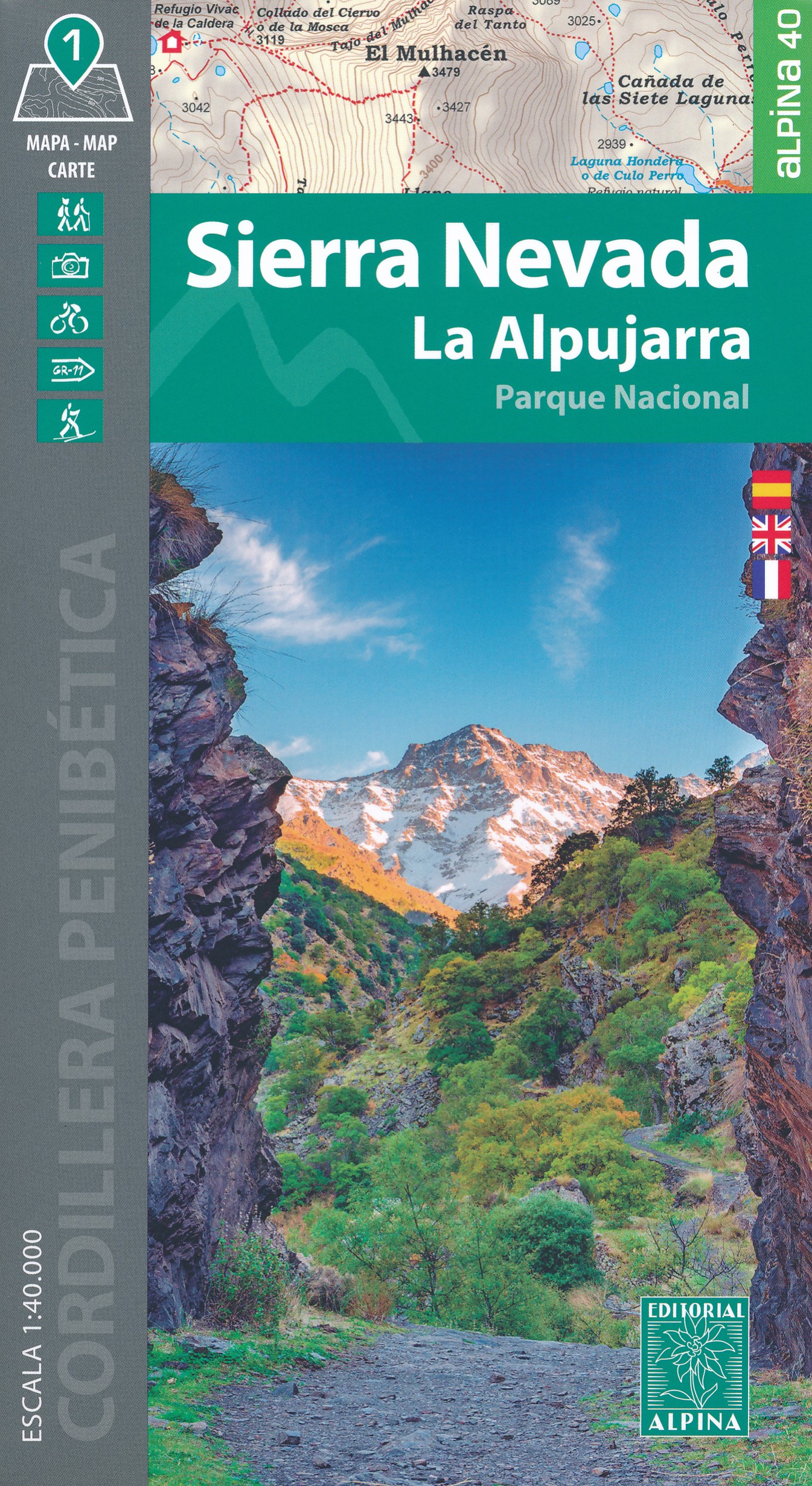
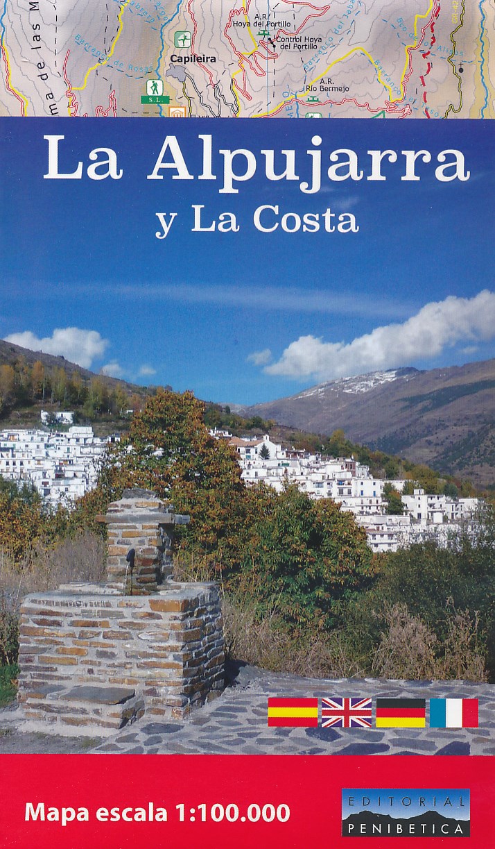
- Wegenkaart - landkaart - Wandelkaart La Alpujarra y la Costa - Alpujarras | Editorial Penibetica
- The Alpujarra region of Andalucía on an indexed, contoured map at 1:100,000 from Editorial Penibetica, extending from the coast between Motril and Roquetas de Mar across southern slopes of the Sierra Nevada to its peaks including Mulhacén. On the reverse are multilingual descriptions and photos of various places of interest.Coverage extends... Read more
- Also available from:
- Stanfords, United Kingdom

Stanfords
United Kingdom
United Kingdom
- La Alpujarra and La Costa Editorial Penibetica
- The Alpujarra region of Andalucía on an indexed, contoured map at 1:100,000 from Editorial Penibetica, extending from the coast between Motril and Roquetas de Mar across southern slopes of the Sierra Nevada to its peaks including Mulhacén. On the reverse are multilingual descriptions and photos of various places of interest.Coverage extends... Read more
De Zwerver
Netherlands
2023
Netherlands
2023
De Zwerver
Netherlands
Netherlands
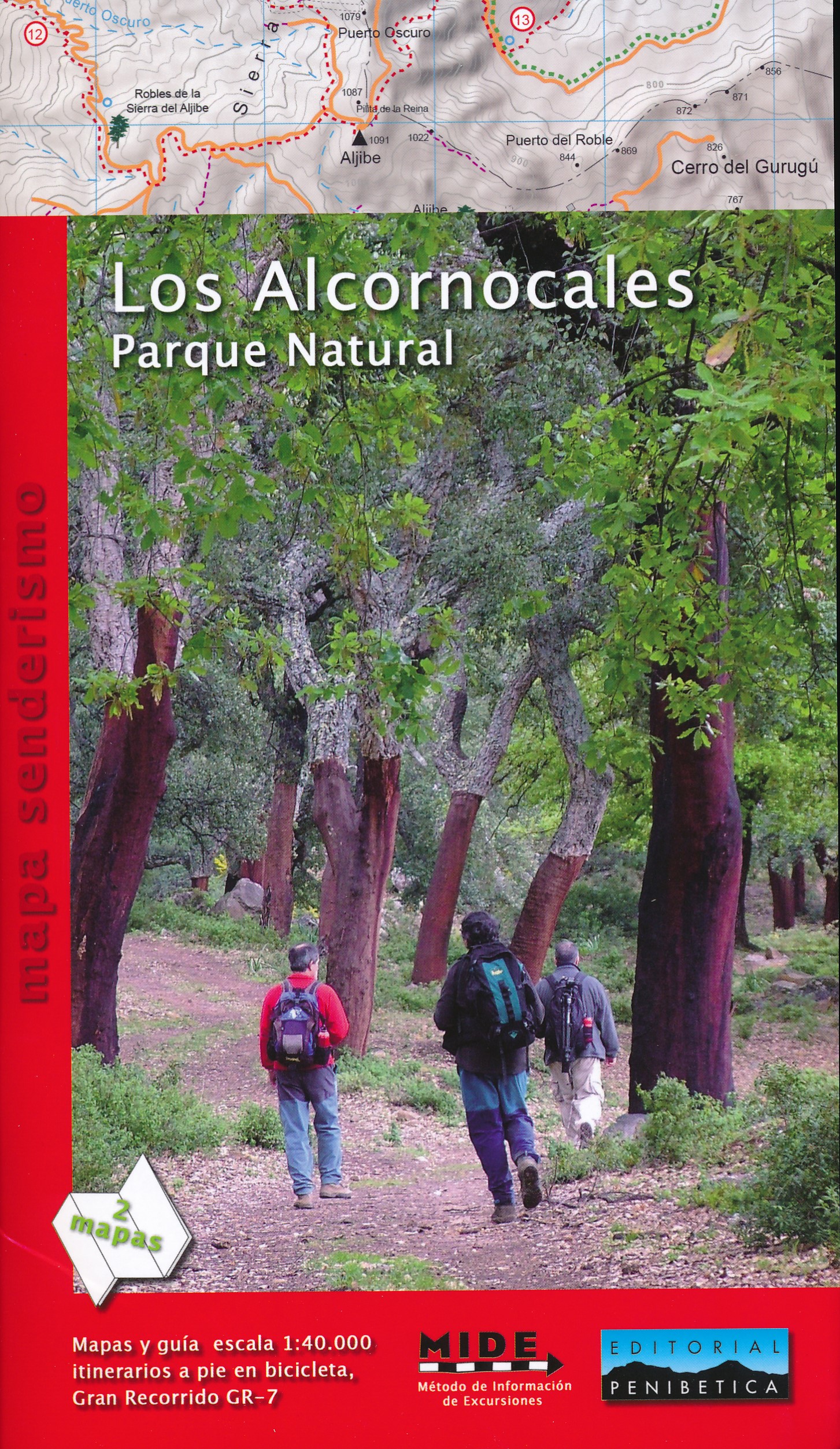
- Wandelkaart Los Alcornocales Parque Natural GR7 | Editorial Penibetica
- Een zeer uitgebreide wandelkaart van het nationale park Los Alcornocales, gelegen ten zuiden van Grazalema tot en met de kust richting Tarifa en Gibraltar. Inclusief een Spaanstalig gidsje met enkele beschreven wandelingen. Op de kaart worden hoogtelijnen, plaatselijke voorzieningen, wandelroutes en andere outdooractiviteiten meegenomen. GPS... Read more
De Zwerver
Netherlands
2009
Netherlands
2009
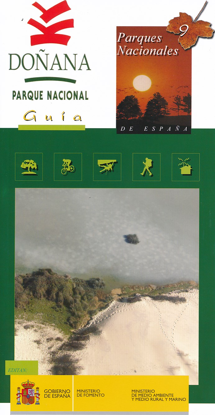
- Wandelkaart 9 Parques Nacionales Doñana | CNIG - Instituto Geográfico Nacional
- Gedetailleerde wandelkaart 1:25.000. Met ingetekende wandelroutes, hutten en andere overnachtingsmogelijkheden, restaurants en bezienswaardigheden. Met spaanstalige gids met diverse wandelingen Read more
- Also available from:
- Stanfords, United Kingdom

Stanfords
United Kingdom
2009
United Kingdom
2009
- Donana National Park CNIG Map-Guide SPANISH
- Doñana National Park on the western coast of Andalucía at 1:25,000 on a contoured and GPS compatible, double-sided map from IGN/CNIG with cartography from their topographic survey of Spain. The map is accompanied by a 57-page Spanish language guide with descriptions of walks, contact details for recommended accommodation, etc. The map has... Read more
De Zwerver
Netherlands
Netherlands
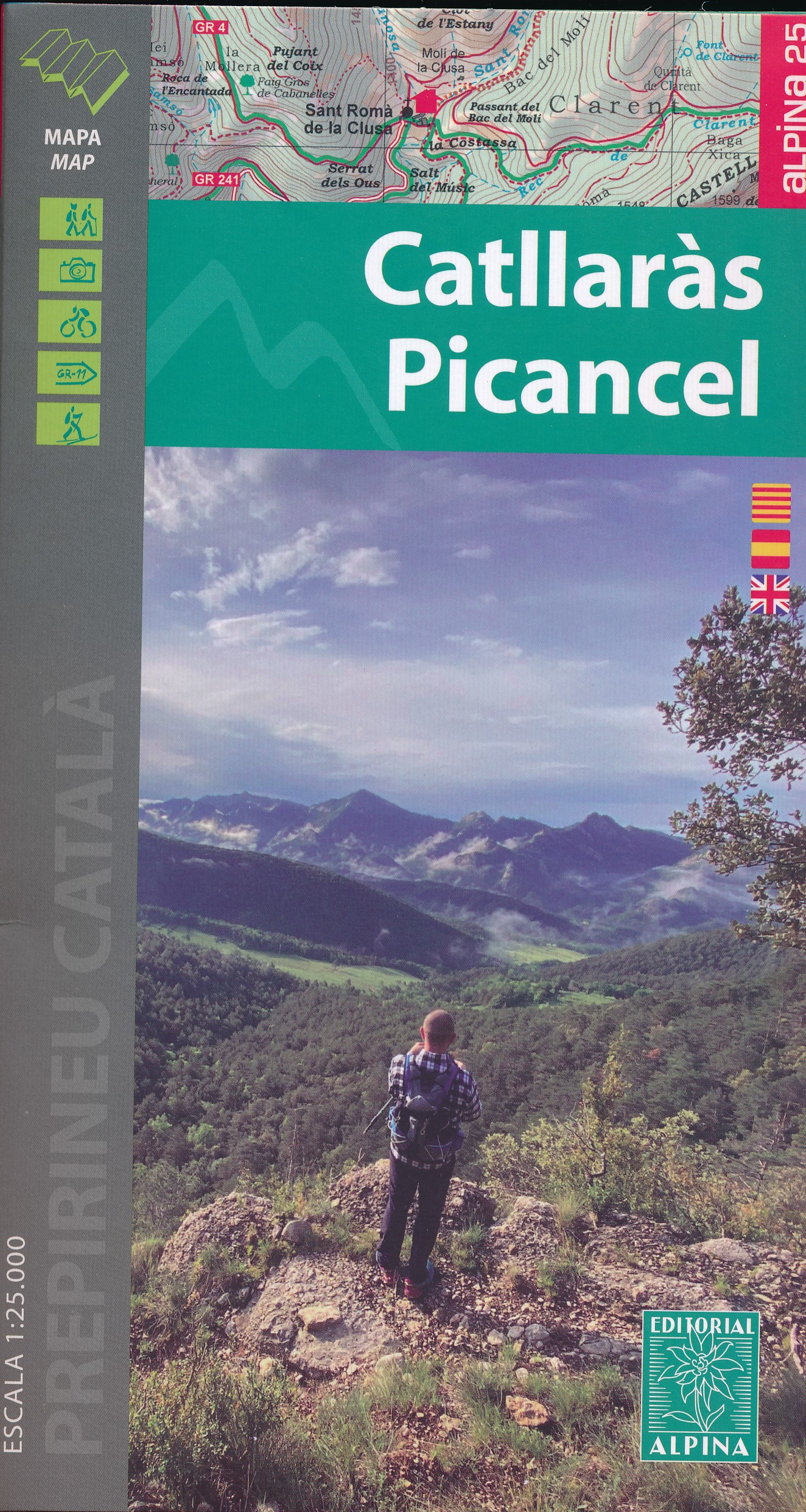
- Wandelkaart 39 Catllaràs Picancel | Editorial Alpina
- Catllaràs Picancel in an extensive and very popular series of walking maps from Editorial Alpina covering the Pyrenees, Catalonia and other selected hiking areas in Spain, including Picos de Europa, Sierra Nevada and parts of Andalucía, Majorca, etc. Scales vary from 1:50,000 to 1:10,000, with the majority of the titles at 1:25,000. The maps... Read more
- Also available from:
- Stanfords, United Kingdom

Stanfords
United Kingdom
United Kingdom
- Catllaràs - Picancel Editorial Alpina
- Catllaràs Picancel in an extensive and very popular series of walking maps from Editorial Alpina covering the Pyrenees, Catalonia and other selected hiking areas in Spain, including Picos de Europa, Sierra Nevada and parts of Andalucía, Majorca, etc. Scales vary from 1:50,000 to 1:10,000, with the majority of the titles at 1:25,000. The maps... Read more
De Zwerver
Netherlands
Netherlands
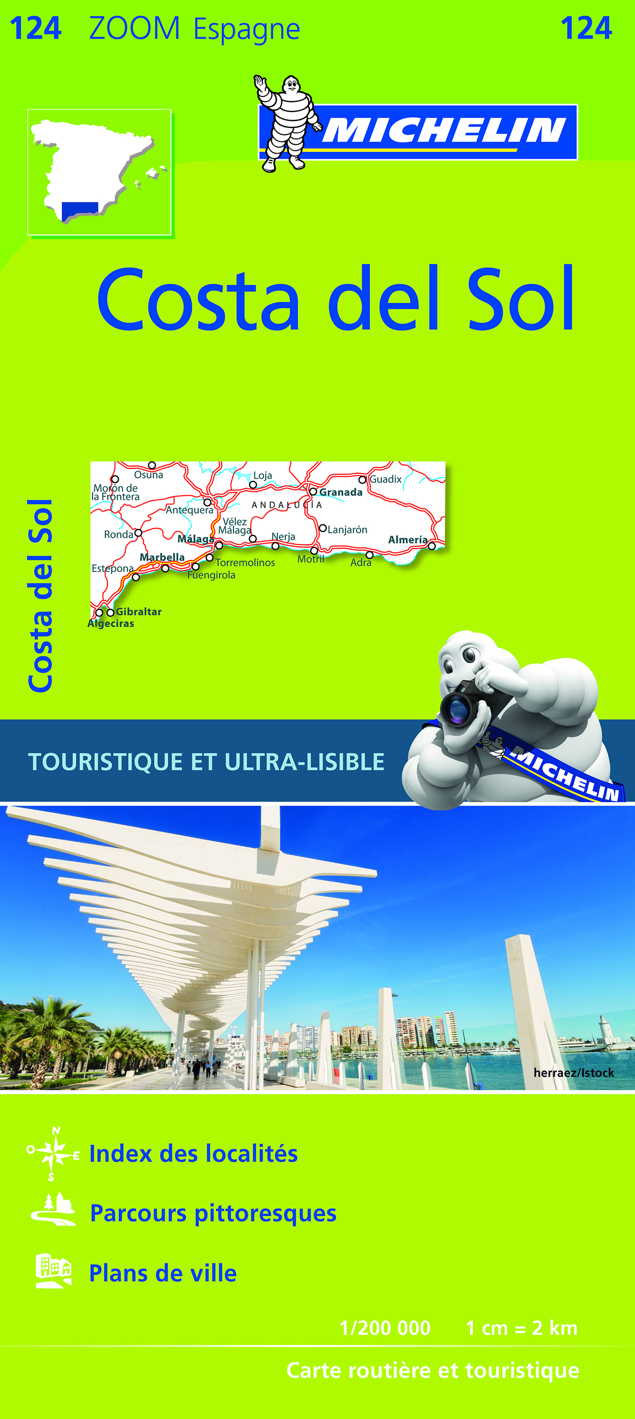
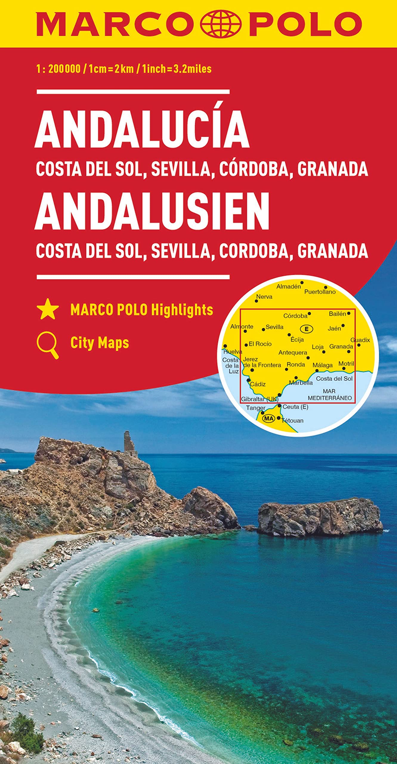
- Wegenkaart - landkaart Andalusien- Costa del Sol - Seville - Cordoba - Granada (Andalusië) | Marco Polo
- Es ist gut zu wissen, wo sich im Urlaubsgebiet die bedeutenden kulturellen und landschaftlichen Sehenswürdigkeiten befinden. Das präzise und klar lesbare Kartenbild der MARCO POLO Karte führt Sie nicht nur zu diesen wirklich interessanten Stellen, sondern zeigt Ihnen außerdem noch viele andere wissenswerte Details. Dank des großen Maßstabs... Read more
De Zwerver
Netherlands
Netherlands
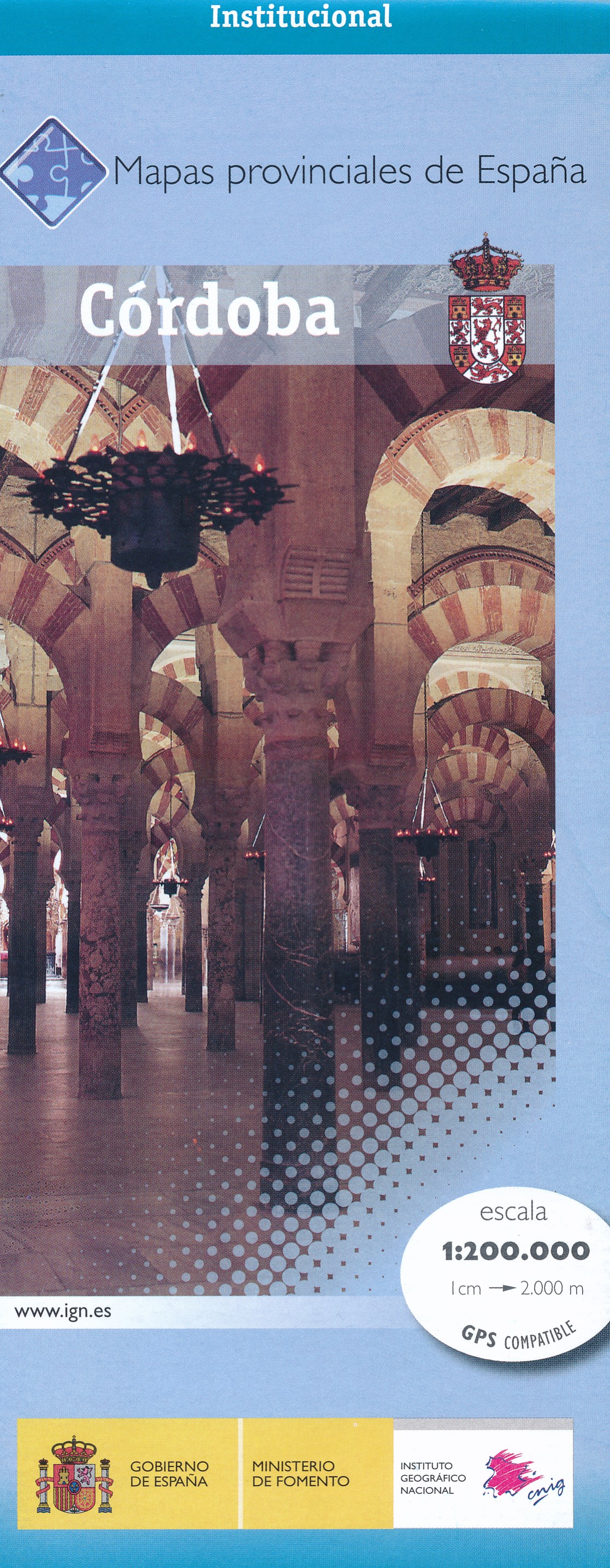
- Wegenkaart - landkaart Mapa Provincial Cordoba | CNIG - Instituto Geográfico Nacional
- Contoured, GPS-compatible, indexed road map at 1:200,000 from CNIG - Spain’s civilian survey organization, with exceptionally informative presentation of the landscape and highlighting for facilities and places of interest including campsites and paradors.Maps in CNIG’s 200K Provincial Series provide an excellent picture the topography through... Read more
- Also available from:
- Stanfords, United Kingdom

Stanfords
United Kingdom
United Kingdom
- Córdoba Province 200K CNIG Map No. 16
- Contoured, GPS-compatible, indexed road map at 1:200,000 from CNIG - Spain’s civilian survey organization, with exceptionally informative presentation of the landscape and highlighting for facilities and places of interest including campsites and paradors.Maps in CNIG’s 200K Provincial Series provide an excellent picture the topography through... Read more
De Zwerver
Netherlands
Netherlands
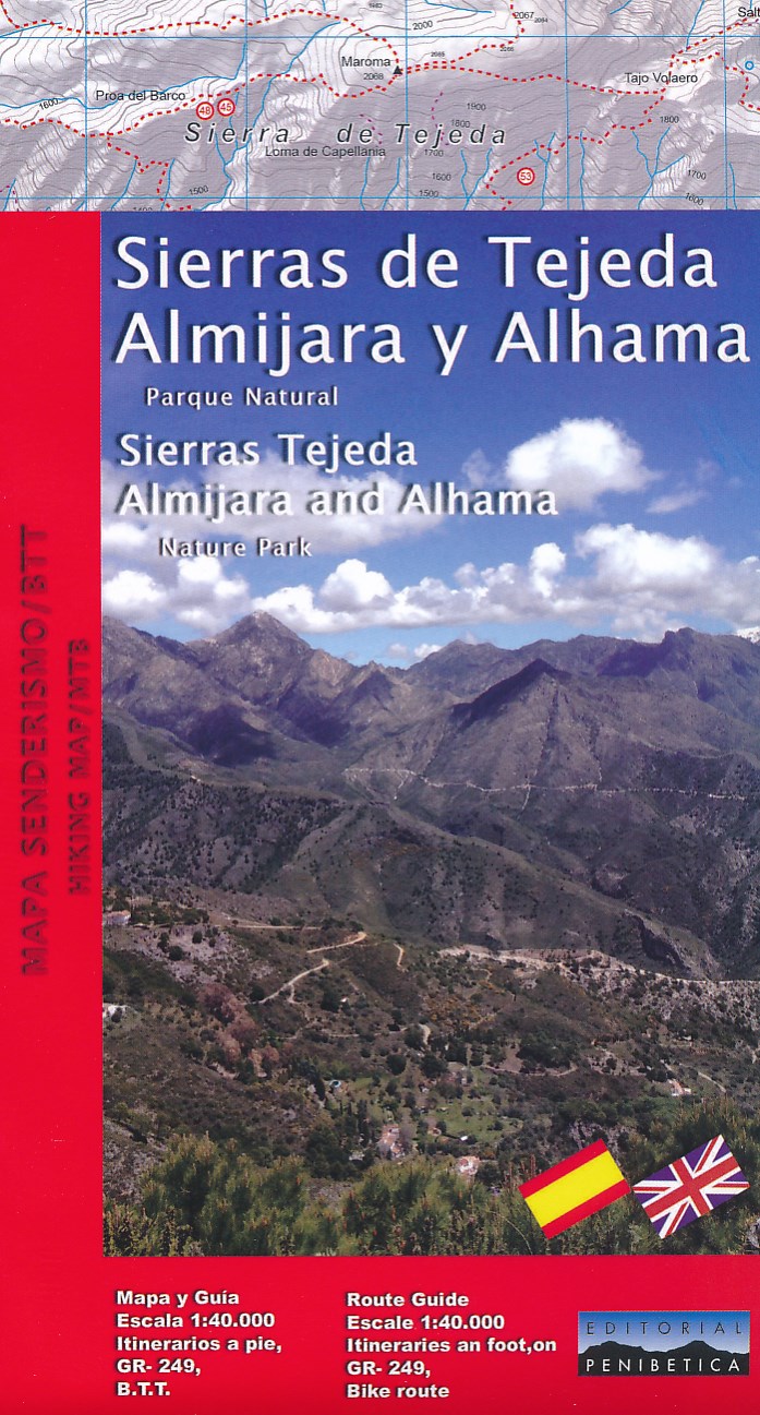
- Wandelkaart Sierras Tejeda, Almijara & Alhama | Editorial Penibetica
- Een uitgebreide wandelkaart van het nationale park Seirra Tejeda en de bijbehorende Sierras Almijara en Alhama, met een Engelstalig gidsje met een aantal kort beschreven wandelroutes en MTB-routes. Op de kaart worden hoogtelijnen, plaatselijke voorzieningen, wandelroutes en andere outdooractiviteiten meegenomen. GPS compatible. Read more