
Scotland
Beschrijving
Kaart


Paden in deze landsdeel
- Annandale WayGPX
- Arran Coastal WayGPX
- Borders Abbeys WayGPX
- Cape Wrath TrailGPX
- Cateran TrailGPX
- Cowal WayGPX
- Dava WayGPX
- E2GPX
- Fife Coastal PathGPX
- Great Glen WayGPX
- Highland High Way
- John Muir WayGPX
- Kintyre WayGPX
- Lairig Ghru
- Lands End to John o'GroatsGPX
- Mary Queen of Scots WayGPX
- Moray Coast TrailGPX
- Moray Way
- North Sea TrailGPX
- River Ayr WayGPX
- Rob Roy WayGPX
- Saint Cuthbert's WayGPX
- Scottish Coast to Coast
- Sir Walter Scott Way
- Southern Upland WayGPX
- Speyside WayGPX
- West Highland WayGPX
- West Island WayGPX
Links
Feiten
Verslagen
Gidsen en kaarten
Overnachting
Organisaties
Reisorganisaties
GPS
Anders
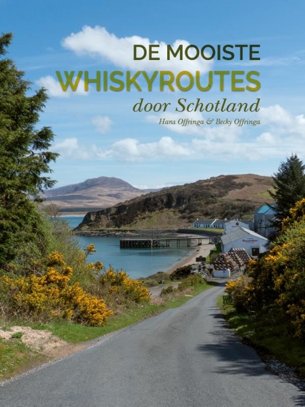
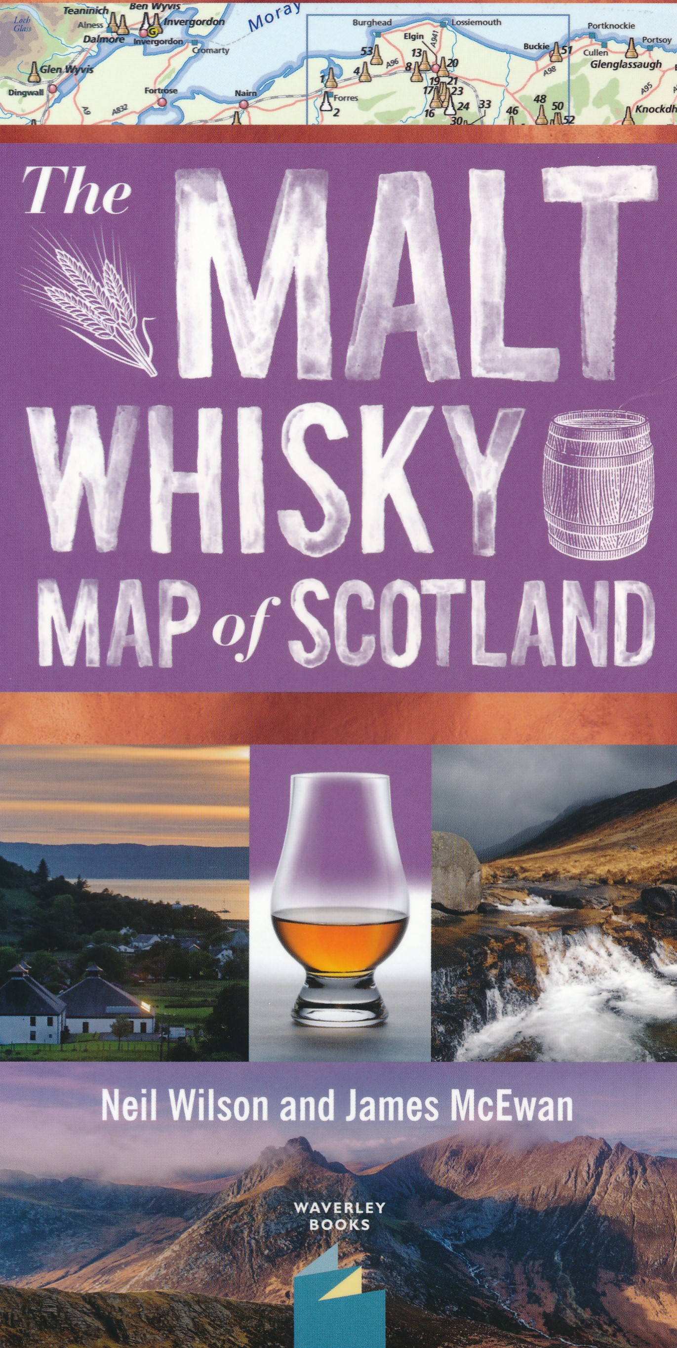
Boeken
De Zwerver
Netherlands
2005
Netherlands
2005
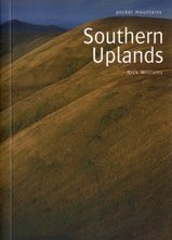
- Wandelgids Southern Uplands | Pocket Mountains
- Mooi uitgevoerde wandelgids in een handzaam formaat: 15 x 10 cm. De wandelingen zijn duidelijk beschreven, soms een beetje summier. This Pocket Mountains guide to the Southern Uplands of Scotland contains 40 hill walks, trademark photography and inventive circular routes. Each route is accompanied by a full colour photograph, contoured map and... Read more
De Zwerver
Netherlands
2020
Netherlands
2020
De Zwerver
Netherlands
2019
Netherlands
2019
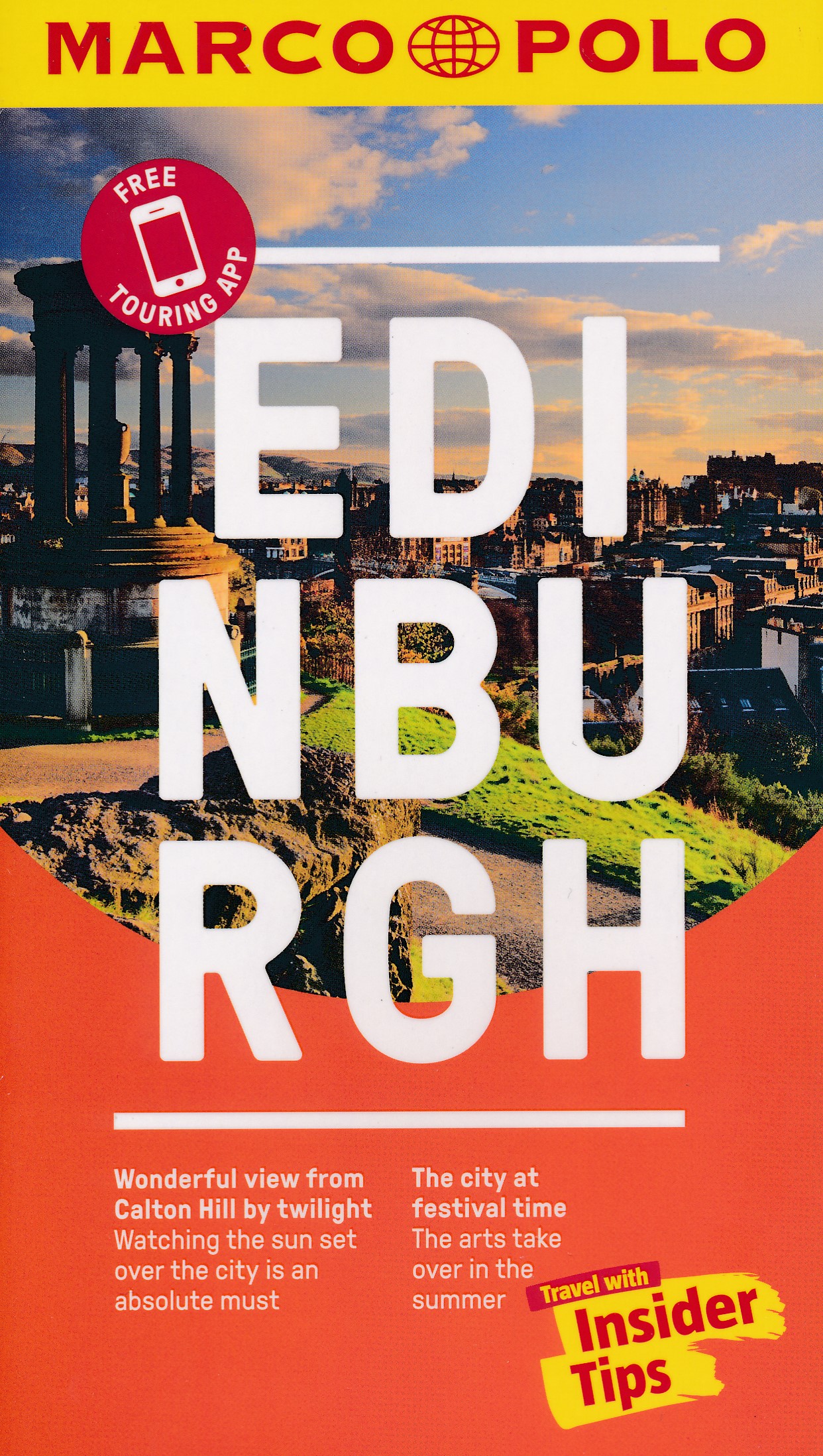
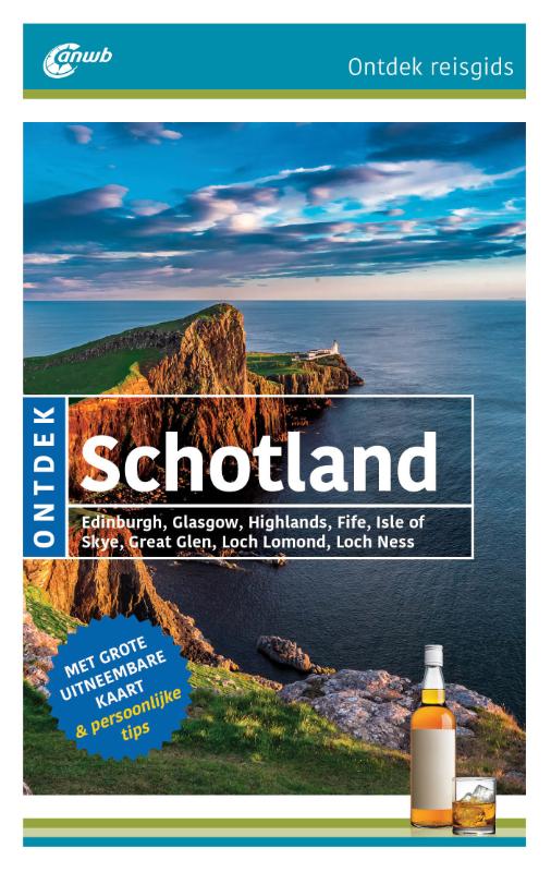
- Reisgids Marco Polo ENG Edinburgh | MairDumont
- Handige en overzichtelijke, kleine reisgids voor een eerste kennismaking met de vakantiebestemming. Globale uitklapkaart achterin, makkelijk binnenzakformaat. Experience all of Edinburgh’s attractions with this up-to-date, authoritative guide, complete with ‘Best Of’ recommendations. Discover boutique hotels, authentic restaurants, the city’s... Read more
De Zwerver
Netherlands
2022
Netherlands
2022
De Zwerver
Netherlands
2022
Netherlands
2022
De Zwerver
Netherlands
2023
Netherlands
2023
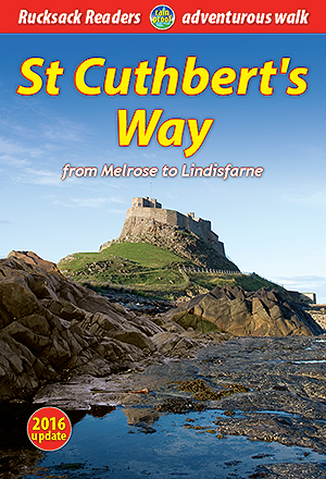
- Wandelgids St. Cuthbert's Way | Rucksack Readers
- From Melrose to Lindisfarne Read more
De Zwerver
Netherlands
2018
Netherlands
2018
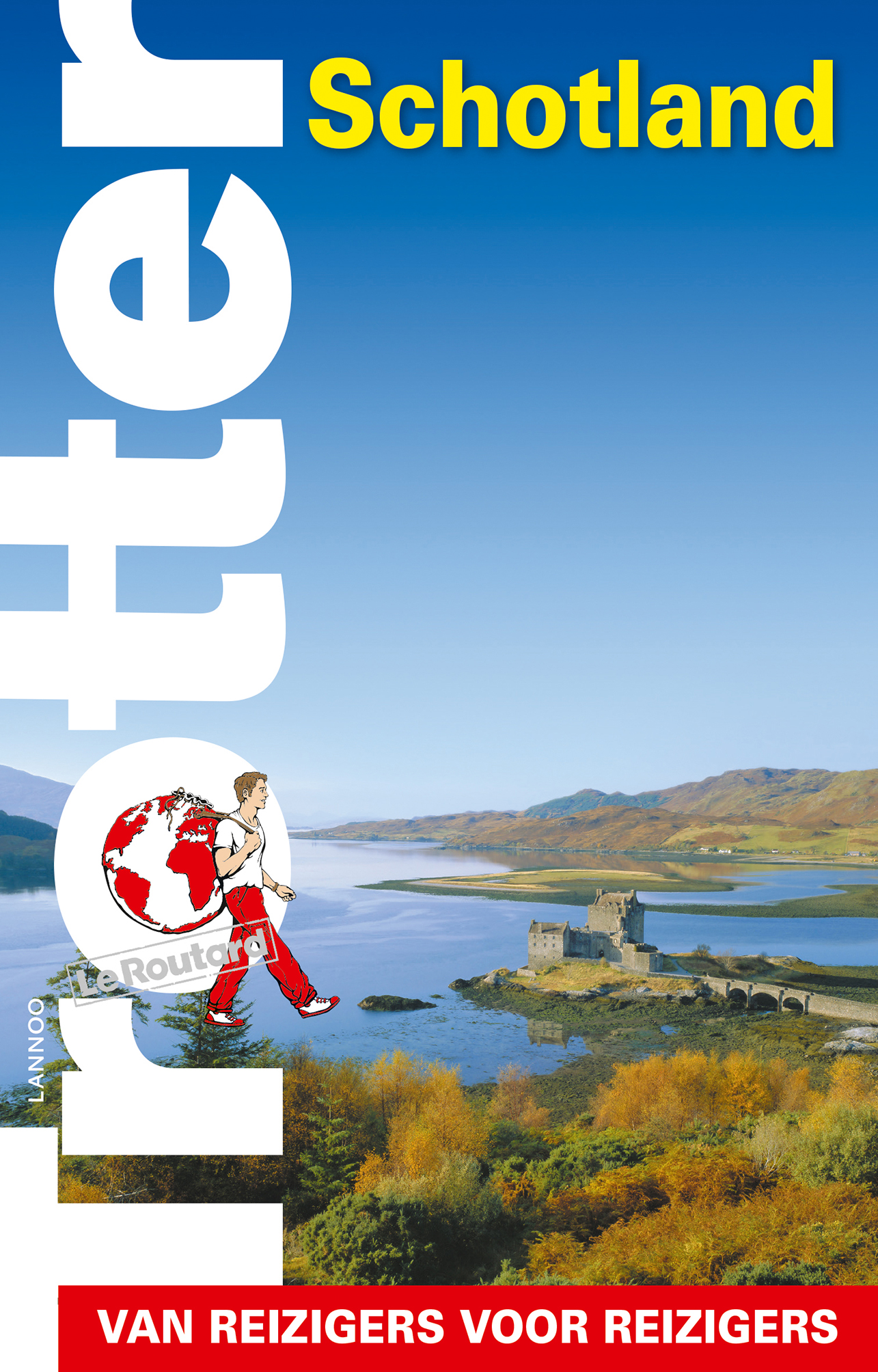
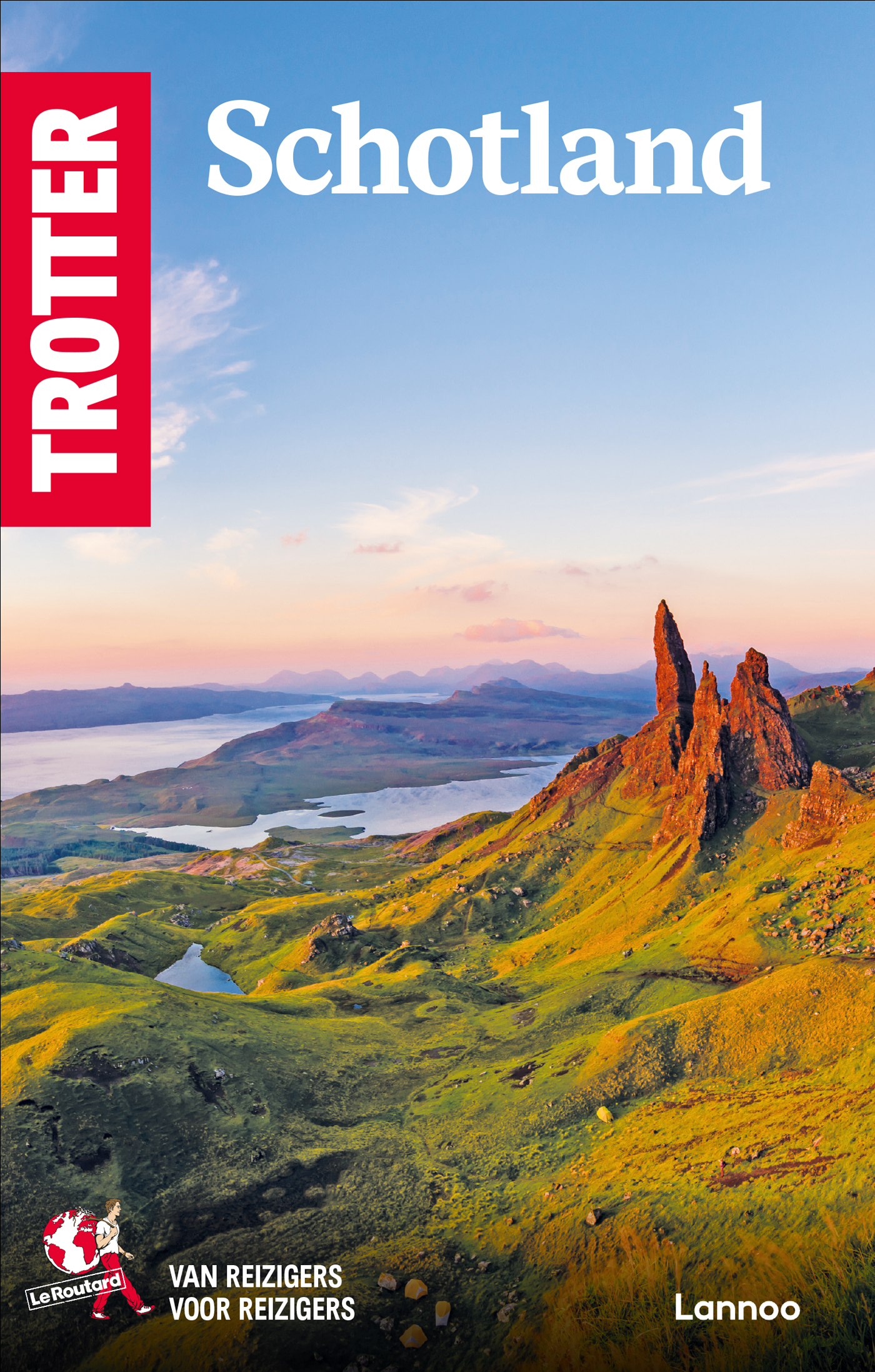
- Reisgids Trotter Schotland | Lannoo
- Goede informatieve gids met nadruk op praktische informatie om rond te reizen. Echter ook aandacht voor cultuur en geschiedenis. Geschreven met prachtige Belgische humor, oorspronkelijk Franse gids. Deze Trotter-gids biedt de gebruikelijke informatie voor reizigers naar Schotland, maar weet geregeld net even meer te vertellen dan de meeste... Read more
De Zwerver
Netherlands
2018
Netherlands
2018
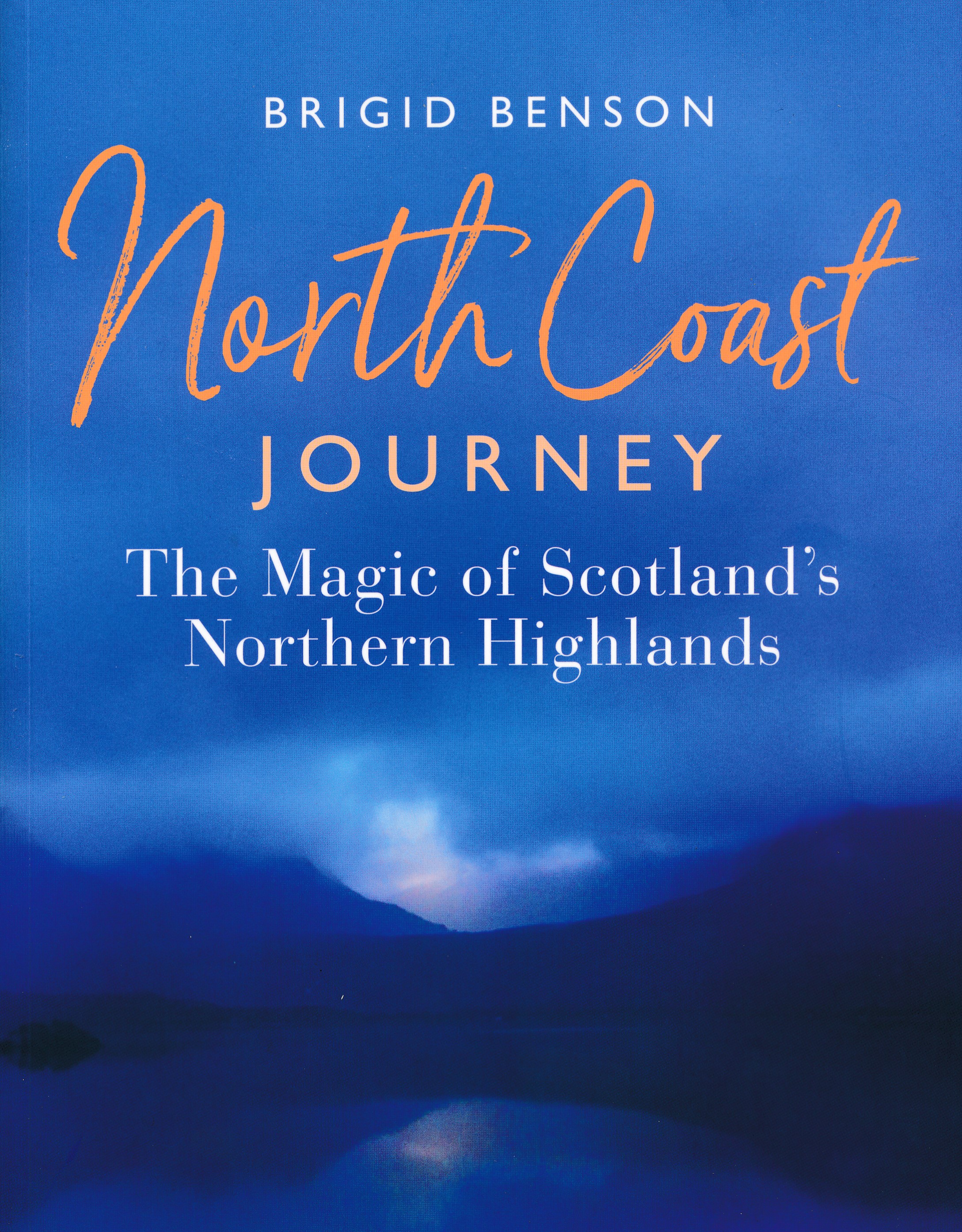
- Reisgids North Coast Journey - Schotland | Birlinn
- Als je echt enthousiast wilt worden over deze fantastische streek, dan is boek een echte aanrader. Veel illustraties maken het een lust voor het oog. Daarnaast veel tips over dit gebied. Het gaat om het gebied ten noorden van Inverness. This is the essential guide to the north of Scotland, on a route which begins in Inverness, weaves westwards... Read more
De Zwerver
Netherlands
2020
Netherlands
2020
Meer boeken…
Kaarten
De Zwerver
Netherlands
2022
Netherlands
2022
De Zwerver
Netherlands
2024
Netherlands
2024
De Zwerver
Netherlands
2019
Netherlands
2019

De Zwerver
Netherlands
2022
Netherlands
2022
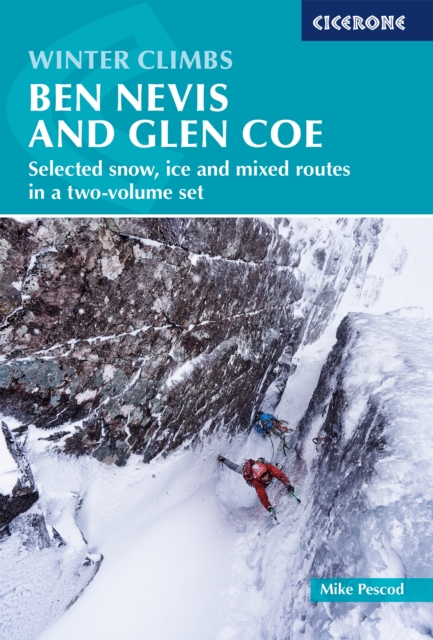
- Wandelkaart Ben Nevis | Harvey Maps
- Ben Nevis with the Mamores and Grey Corries ranges at 1:25,000 on a double-sided, waterproof and tear-resistant map from Harvey Map Services with the peak area shown in greater detail at 1:12,500. The map divides the area north/south, with a good overlap between the sides, extending from Fort William past Loch Treig to Chno Deang, plus south to... Read more
- Also available from:
- Stanfords, United Kingdom

Stanfords
United Kingdom
2022
United Kingdom
2022
- Ben Nevis - Mamores & Grey Corries Harvey Superwalker XT25
- Ben Nevis with the Mamores and Grey Corries ranges at 1:25,000 on a double-sided, waterproof and tear-resistant map from Harvey Map Services in their Superwalker series, with the peak area also shown in greater detail at 1:12,500. The map divides the area north/south, with a good overlap between the sides, extending from Fort William past Loch... Read more
De Zwerver
Netherlands
Netherlands
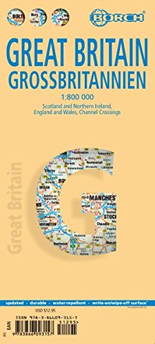
- Wegenkaart - landkaart Groot - Brittannië | Borch
- Grossbritannien / Great Britain 1 : 800 000 ab 9.9 EURO Scotland and Northern Ireland, England and Wales, Channel Crossings Borch Map. 13. Auflage Read more
De Zwerver
Netherlands
2019
Netherlands
2019
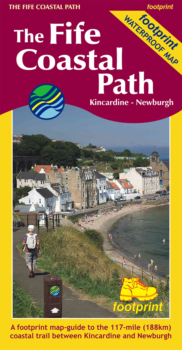
- Wandelkaart The Fife Coastal Path | Footprint maps
- High quality, specially created strip map of this unique 117 mile coastal path from the Kincardine Bridge to Newburgh on the Firth of Tay.This new edition contains maps of the whole route, at 1:40,000 and based on OS data. Compact and concise, the map is printed on waterproof paper and is supplied in a durable slipcase.For every copy of this... Read more
- Also available from:
- Stanfords, United Kingdom

Stanfords
United Kingdom
2019
United Kingdom
2019
- The Fife Coastal Path - Kincardine to Newburgh
- High quality, specially created strip map of this unique 117 mile coastal path from the Kincardine Bridge to Newburgh on the Firth of Tay.This new edition contains maps of the whole route, at 1:40,000 and based on OS data. Compact and concise, the map is printed on waterproof paper and is supplied in a durable slipcase.For every copy of this... Read more
De Zwerver
Netherlands
Netherlands

De Zwerver
Netherlands
2014
Netherlands
2014
- Wandelkaart Glyndwr's Way | Harvey Maps
- Glyndwr's Way, a 217km / 135 mile long trail from Knighton in Powys to Welshpool presented at 1:40,000 on a GPS compatible, light, waterproof and tear-resistant map from Harvey Map Services. The whole route is covered on eight overlapping panels. Map legend includes Welsh; most of the additional information is in English only.Maps in the Harvey Read more
- Also available from:
- Stanfords, United Kingdom

Stanfords
United Kingdom
2014
United Kingdom
2014
- Glyndwr`s Way Harvey National Trail XT40
- Glyndwr`s Way, a 217km / 135 mile long trail from Knighton in Powys to Welshpool presented at 1:40,000 on a GPS compatible, light, waterproof and tear-resistant map from Harvey Map Services. The whole route is covered on eight overlapping panels. Map legend includes Welsh; most of the additional information is in English only.Maps in the... Read more
De Zwerver
Netherlands
2017
Netherlands
2017
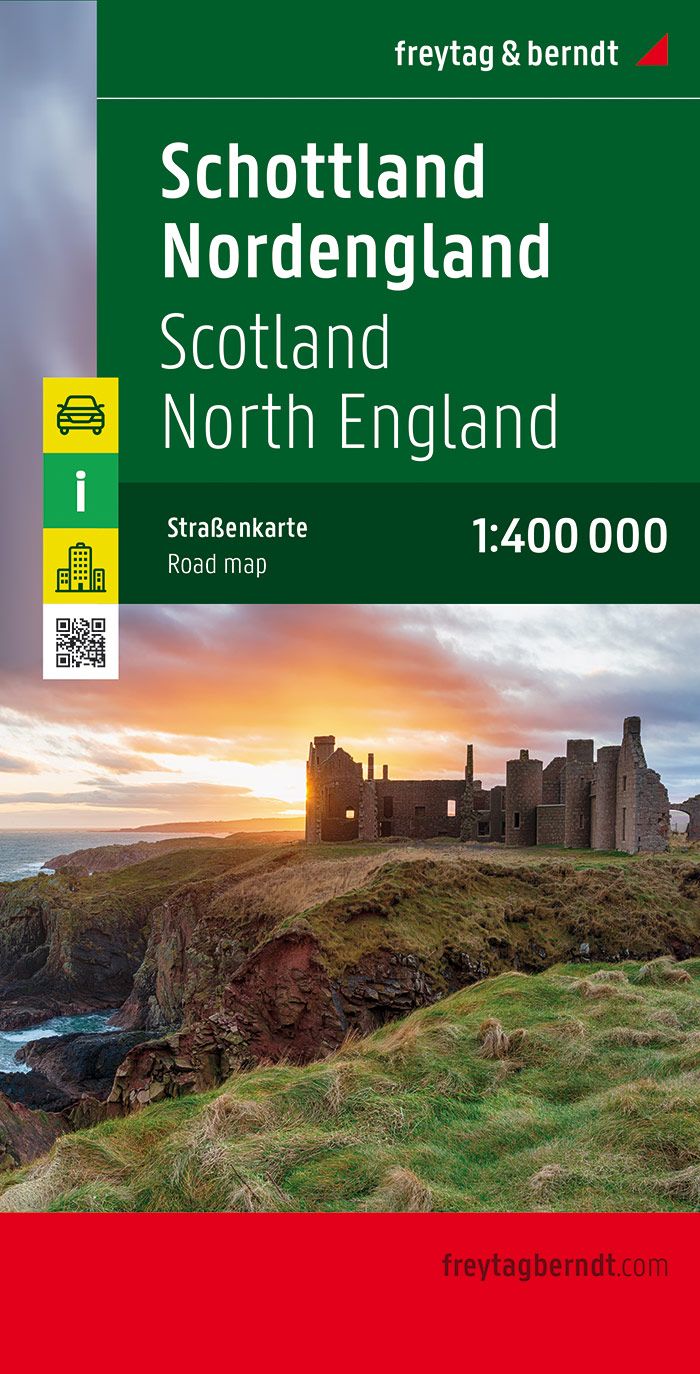
- Wegenkaart - landkaart Schotland en Noord Engeland | Freytag & Berndt
- Schottland, Nordengland 1 : 400 000. Autokarte ab 10.9 EURO Scotland, Nothern England / Citypläne / Ortsregister / Touristische Informationen Freytag & Berndt Autokarte. Neuauflage Read more
De Zwerver
Netherlands
2023
Netherlands
2023