
Everest Trek
Beschrijving
- Name Everest Trek
- Lengte in dagen 9 dagen
- Start van pad Lukla
- Einde van pad Basecamp
- Traildino graad SW, Inspannende wandeling, bergpad
- Huttentrektocht graad T2, Bergtocht

From Jiri 16 days to Basecamp, from Lukla 9 days.
Nepal is home to the highest mountain in the world, which sits right on the border with Tibet. Mount Everest, associated with ever so many famous names and stories, is within easy reach of the ordinary hiker. Not the 8840 m high summit, of course. But at 3500 m lower down, at the foot of the mountain, is Everest Base-camp, achievable for any backpacker with a down-filled jacket and a strong constitution.
Giving this trail in Khumbu region extra cachet, is the feeling of walking in the footsteps of the renowned pioneers who mapped this area and finally conquered Everest. And it was no hit and run for these adventurers. The first climbers and their company of porters started out from Dharan, and later from Jiri. Even today, Jiri is a starting point of the Everest Basecamp Trek, although it is not the easiest place to start. The hike from Jiri to Lukla means climbing up and down a lot. Definitely excellent to test your fit-ness.
Many hikers these days choose to fly to Lukla, shortening the trek by a week. Lukla airport is not exactly spacious. If the weather is bad, there is no flight and you may have to wait for a day or more.
From Lukla it takes one day to walk to Namche Bazaar, and an-other seven days to reach the viewpoint summits of Kala Patar. From its low (5545 m) or the high (5623 m) summit you will enjoy spectacular views of Mount Everest, the nearby Nuptse, Lhotse, and the splendid double dome of Ama Dablam. Another day's hike will take you to Everest Basecamp at 5300 m, Khumbu Icefall and the towering massif behind (but Everest itself is out of sight).
Thanks to a huge choice of lodges all along the trail, this classic trek poses no difficulties for the strong and experienced hiker. Most risky are the altitude and the change of diet. Please keep in mind this trek is very popular, just like the Annapurna Circuit. October, but also April and September are busiest. During the monsoon (June, July, August) hikers are few, but views are limited. Winter months are quiet, but dreadfully cold. Spring is beautiful, but along with rising temperatures, humidity gradually builds up to culminate during monsoon.
Times are changing. Meanwhile the Chinese on the other side of the border have their own Everest Basecamp at the foot of the Everest. The good news: you can drive all the way up there in your 4WD, so no need to walk anymore.
Kaart


Links
Feiten
Verslagen
Gidsen en kaarten
Overnachting
Organisaties
Reisorganisaties
GPS
Anders
Boeken
Netherlands
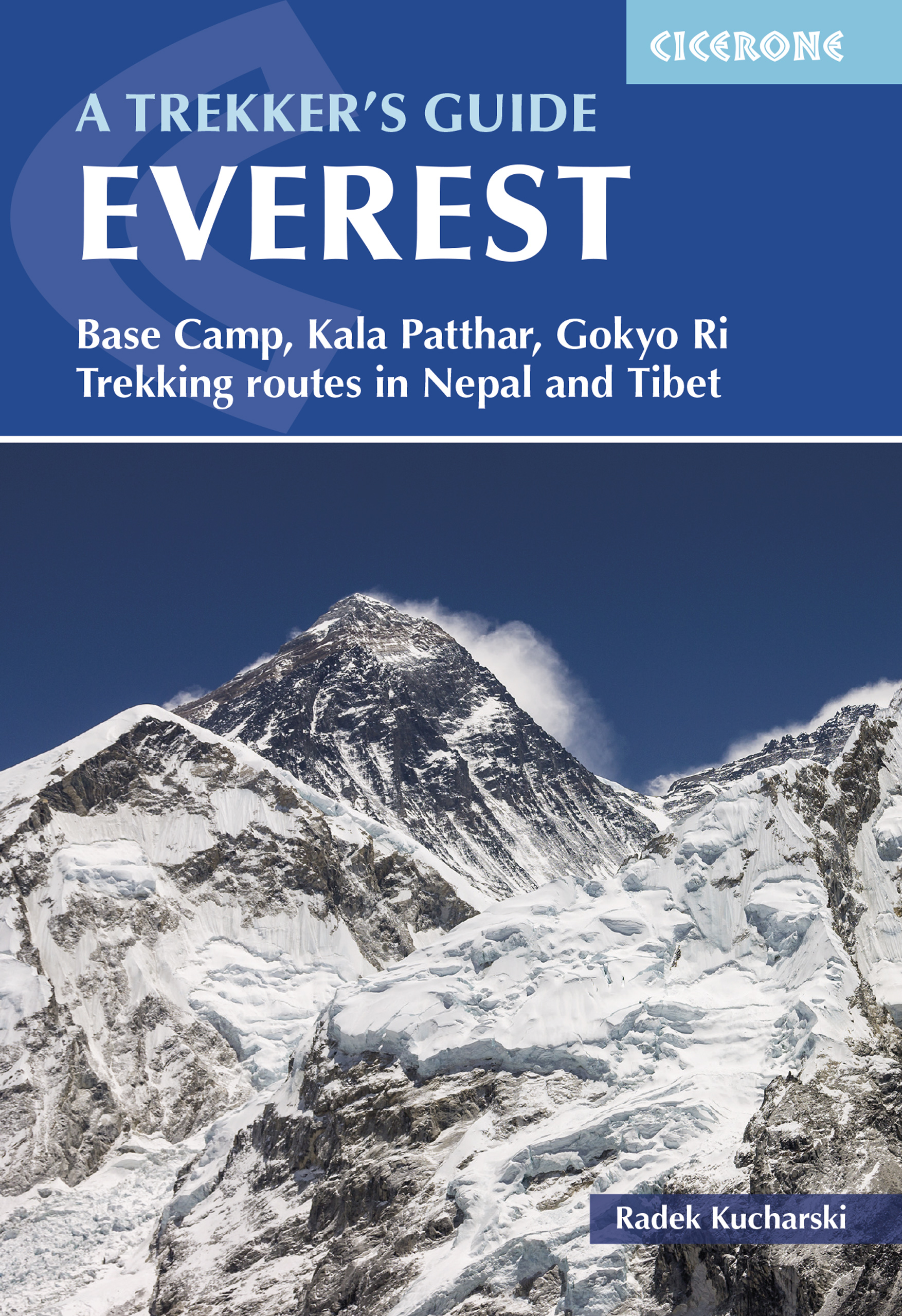
- Trekking Mount Everest
- Documents, over a period of four years, treks through the Himalaya region to Mount Everest, capturing images of nature, and of the daily life and culture of local villagers Read more
- Also available from:
- Bol.com, Belgium
Belgium
- Trekking Mount Everest
- Documents, over a period of four years, treks through the Himalaya region to Mount Everest, capturing images of nature, and of the daily life and culture of local villagers Read more
Netherlands
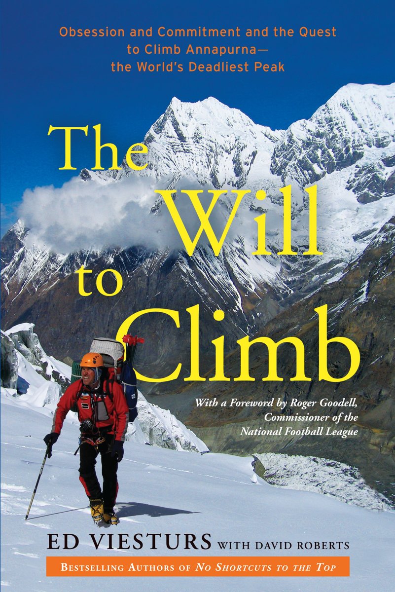
- The Will to Climb
- The bestselling author of No Shortcuts to the Top and K2 chronicles his three attempts to climb the world's tenth-highest and statistically deadliest peak, Annapurna in the Himalaya, while exploring the dramatic and tragic history of others who have made -- or attempted the ascent, and what these exploits teach us about facing life's greatest... Read more
- Also available from:
- Bol.com, Belgium
Belgium
- The Will to Climb
- The bestselling author of No Shortcuts to the Top and K2 chronicles his three attempts to climb the world's tenth-highest and statistically deadliest peak, Annapurna in the Himalaya, while exploring the dramatic and tragic history of others who have made -- or attempted the ascent, and what these exploits teach us about facing life's greatest... Read more
Netherlands
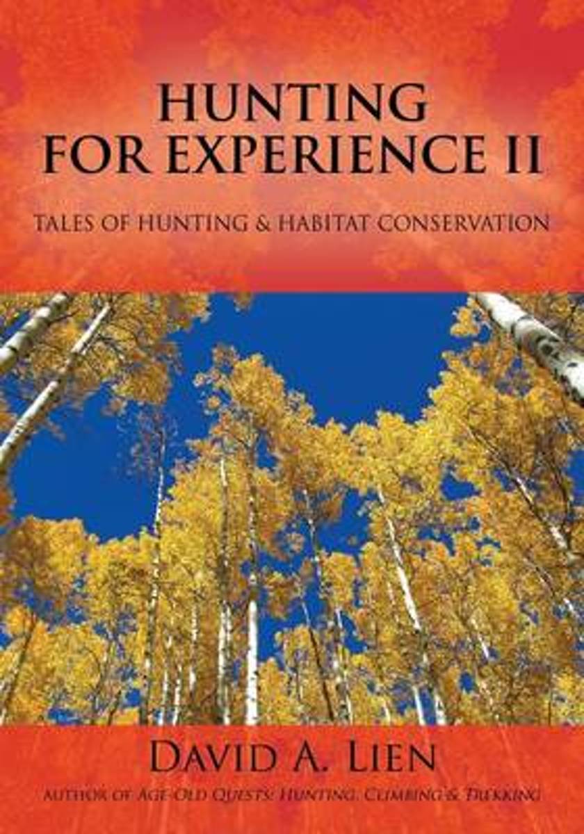
- Hunting for Experience II
- The Longest Journey Begins With A Single Step. . . "David Lien grew up in the small northern Minnesota town of Grand Rapids and started fishing at the age of four. He shot his first squirrel when he was eight, was hunting ruffed grouse at age eleven and started deer hunting the next fall. At thirteen David killed his first deer with a Ruger .44... Read more
- Also available from:
- Bol.com, Belgium
Belgium
- Hunting for Experience II
- The Longest Journey Begins With A Single Step. . . "David Lien grew up in the small northern Minnesota town of Grand Rapids and started fishing at the age of four. He shot his first squirrel when he was eight, was hunting ruffed grouse at age eleven and started deer hunting the next fall. At thirteen David killed his first deer with a Ruger .44... Read more
Netherlands
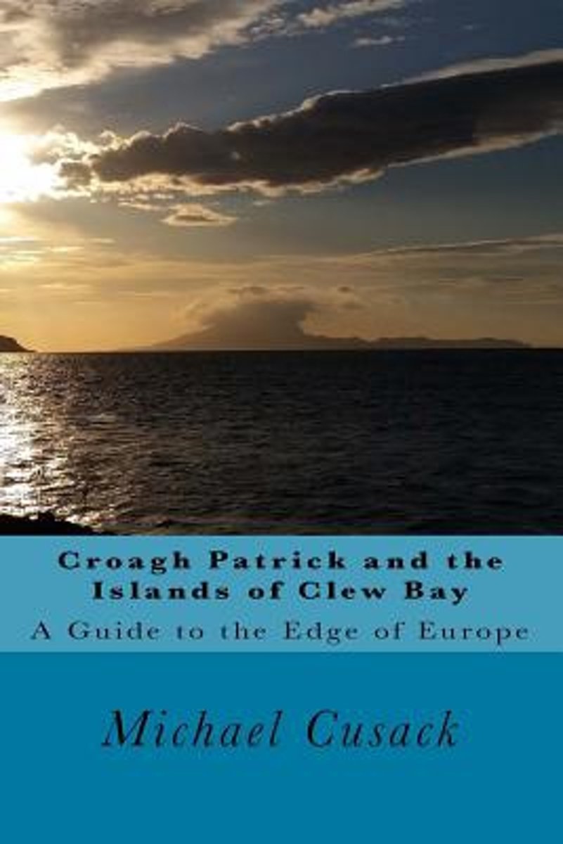
- Croagh Patrick and the Islands of Clew Bay
- From Croagh Patrick, Ireland's holiest mountain, known locally as the 'Reek' to 'John Lennon's Island' of Dorinish, to Clare Island, home of the 'Pirate Queen', the wild Atlantic splendour of Clew Bay and its surroundings draws visitors from around the world to this remote area on the western edge of Europe.Croagh Patrick and the Islands of... Read more
- Also available from:
- Bol.com, Belgium
Belgium
- Croagh Patrick and the Islands of Clew Bay
- From Croagh Patrick, Ireland's holiest mountain, known locally as the 'Reek' to 'John Lennon's Island' of Dorinish, to Clare Island, home of the 'Pirate Queen', the wild Atlantic splendour of Clew Bay and its surroundings draws visitors from around the world to this remote area on the western edge of Europe.Croagh Patrick and the Islands of... Read more
Netherlands
- Everest
- A fascinating collection of writings to commemorate the 50th anniversary of the first ascent of Everest.On 29 May, 1953, Edmund Hillary and Tenzing Norgay were the first ever to set foot on the highest point on earth: the summit of Mount Everest. It was a magical moment, news of which flashed around the globe. Since then many men and women have... Read more
- Also available from:
- Bol.com, Belgium
Belgium
- Everest
- A fascinating collection of writings to commemorate the 50th anniversary of the first ascent of Everest.On 29 May, 1953, Edmund Hillary and Tenzing Norgay were the first ever to set foot on the highest point on earth: the summit of Mount Everest. It was a magical moment, news of which flashed around the globe. Since then many men and women have... Read more
Netherlands
- Two Hours
- WINNER OF THE CROSS SPORTS BOOK AWARD FOR NEW WRITER OF THE YEAR 2016 Two Hours by Ed Caesar - the quest to run the impossible marathon, by the acclaimed writer with inside access to Nike's #Breaking2 project 'The marathon tethers runners to their own personal narratives. It is a question of how you grow. Nothing but your own body will sustain... Read more
- Also available from:
- Bol.com, Belgium
Belgium
- Two Hours
- WINNER OF THE CROSS SPORTS BOOK AWARD FOR NEW WRITER OF THE YEAR 2016 Two Hours by Ed Caesar - the quest to run the impossible marathon, by the acclaimed writer with inside access to Nike's #Breaking2 project 'The marathon tethers runners to their own personal narratives. It is a question of how you grow. Nothing but your own body will sustain... Read more
Netherlands
- The Rough Guide to Nepal
- A new edition of the Rough Guide to Nepal, ranging from the easternmost tea hills of Ilam to the grasslands of the Far West, from Tibet to the Indian Border and from Everest to Kathmandu Valley.There are in-depth accounts of all the attractions,from Hindu temples and Buddhist stupas to wildlife reserves and spectacular mountain viewpoints. For... Read more
- Also available from:
- Bol.com, Belgium
Belgium
- The Rough Guide to Nepal
- A new edition of the Rough Guide to Nepal, ranging from the easternmost tea hills of Ilam to the grasslands of the Far West, from Tibet to the Indian Border and from Everest to Kathmandu Valley.There are in-depth accounts of all the attractions,from Hindu temples and Buddhist stupas to wildlife reserves and spectacular mountain viewpoints. For... Read more
Netherlands
- A Trekking Guide to Upper & Lower Dolpo
- This guide is the definitive introduction to trekking around and across a vast, undiscovered region.Dolpo may not have the aura or international renown of the Everest region, but there is a magical air of mysticism about this forgotten land. It has a remote charm that calls for more trekkers to discover the treasures hidden in these... Read more
- Also available from:
- Bol.com, Belgium
Belgium
- A Trekking Guide to Upper & Lower Dolpo
- This guide is the definitive introduction to trekking around and across a vast, undiscovered region.Dolpo may not have the aura or international renown of the Everest region, but there is a magical air of mysticism about this forgotten land. It has a remote charm that calls for more trekkers to discover the treasures hidden in these... Read more

Netherlands
- How to Win in the Mind
- HOW TO WIN IN THE MIND "Managing the top two inches" A look into "the last unexplored frontier," that is the human mind: "The mind is not a vase to be filled... buta fire to be ignited." A collection of Craig Lock' s articles on HOW to win in the mind and develop a winning mindset "The greatest mountain we need to climb lies in ourour own... Read more
- Also available from:
- Bol.com, Belgium
Belgium
- How to Win in the Mind
- HOW TO WIN IN THE MIND "Managing the top two inches" A look into "the last unexplored frontier," that is the human mind: "The mind is not a vase to be filled... buta fire to be ignited." A collection of Craig Lock' s articles on HOW to win in the mind and develop a winning mindset "The greatest mountain we need to climb lies in ourour own... Read more
Netherlands
- Climbing the Seven Summits
- CLICK HERE to download the first 50 pages from Climbing the Seven Summits* First and only guidebook to climbing all Seven Summits* Full color with 125 photographs and 24 maps including a map for each summit route* Essential information on primary climbing routes and travel logistics for mountaineers, with historical and cultural anecdotes for... Read more
- Also available from:
- Bol.com, Belgium
Belgium
- Climbing the Seven Summits
- CLICK HERE to download the first 50 pages from Climbing the Seven Summits* First and only guidebook to climbing all Seven Summits* Full color with 125 photographs and 24 maps including a map for each summit route* Essential information on primary climbing routes and travel logistics for mountaineers, with historical and cultural anecdotes for... Read more
Netherlands
- Everest
- The possibility of climbing the world's highest mountain was first aired in 1885. Although Tibet and Nepal were initially forbidden to explorers, the challenge captured the imagination of the world's mountaineers. Over the next 68 years, obstacles were overcome to allow 12 full-scale expeditions to attempt the summit. Eleven ended in failure -... Read more
- Also available from:
- Bol.com, Belgium
Belgium
- Everest
- The possibility of climbing the world's highest mountain was first aired in 1885. Although Tibet and Nepal were initially forbidden to explorers, the challenge captured the imagination of the world's mountaineers. Over the next 68 years, obstacles were overcome to allow 12 full-scale expeditions to attempt the summit. Eleven ended in failure -... Read more
Netherlands
1996
- Langtang with Gosainkund and Helambu
- A guidebook describing 5 main treks of up to a week in the Himalaya's Langtang National Park region in Nepal, also Gosainkund and Helambu. There is no finer way of getting to know Nepal than by discarding the burdens of Western society, wandering her trails and growing receptive to her charms. Trekking holds the key to a wealth of experience,... Read more
- Also available from:
- Bol.com, Belgium
Belgium
1996
- Langtang with Gosainkund and Helambu
- A guidebook describing 5 main treks of up to a week in the Himalaya's Langtang National Park region in Nepal, also Gosainkund and Helambu. There is no finer way of getting to know Nepal than by discarding the burdens of Western society, wandering her trails and growing receptive to her charms. Trekking holds the key to a wealth of experience,... Read more
Netherlands
2016
- Lonely Planet Trekking in the Nepal Himalaya
- Lonely Planet: The world's leading travel guide publisher Lonely Planet Trekking in the Nepal Himalaya is your passport to the most relevant, up-to-date advice on what to see and skip, and what hidden discoveries await you. Tour through the hidden backstreet courtyards and temples of Kathmandu, explore the base of the world's highest mountain... Read more
- Also available from:
- Bol.com, Belgium
- Stanfords, United Kingdom
Belgium
2016
- Lonely Planet Trekking in the Nepal Himalaya
- Lonely Planet: The world's leading travel guide publisher Lonely Planet Trekking in the Nepal Himalaya is your passport to the most relevant, up-to-date advice on what to see and skip, and what hidden discoveries await you. Tour through the hidden backstreet courtyards and temples of Kathmandu, explore the base of the world's highest mountain... Read more

United Kingdom
2016
- Lonely Planet Trekking in the Nepal Himalaya
- Trekking in the Nepal Himalaya in the Walking Guide series from Lonely Planet; profiling in comprehensive detail the walking opportunities, from day walks to long distance hikes, available in a range of international destinations. Frank and informal in style, the guides introduce readers to a selection of walks in each country and are designed... Read more
Netherlands
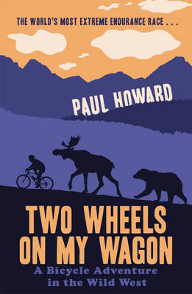
- Two Wheels on my Wagon
- As bicycle races go, the attractions of the Tour Divide are not immediately apparent. For a start, it is the longest mountain-bike race in the world, running nearly 3,000 miles down the Rockies from Canada to Mexico. But the distance is not the only challenge - the total ascent of 200,000 ft is the equivalent of scaling Mount Everest nearly... Read more
- Also available from:
- Bol.com, Belgium
Belgium
- Two Wheels on my Wagon
- As bicycle races go, the attractions of the Tour Divide are not immediately apparent. For a start, it is the longest mountain-bike race in the world, running nearly 3,000 miles down the Rockies from Canada to Mexico. But the distance is not the only challenge - the total ascent of 200,000 ft is the equivalent of scaling Mount Everest nearly... Read more
Kaarten
Netherlands
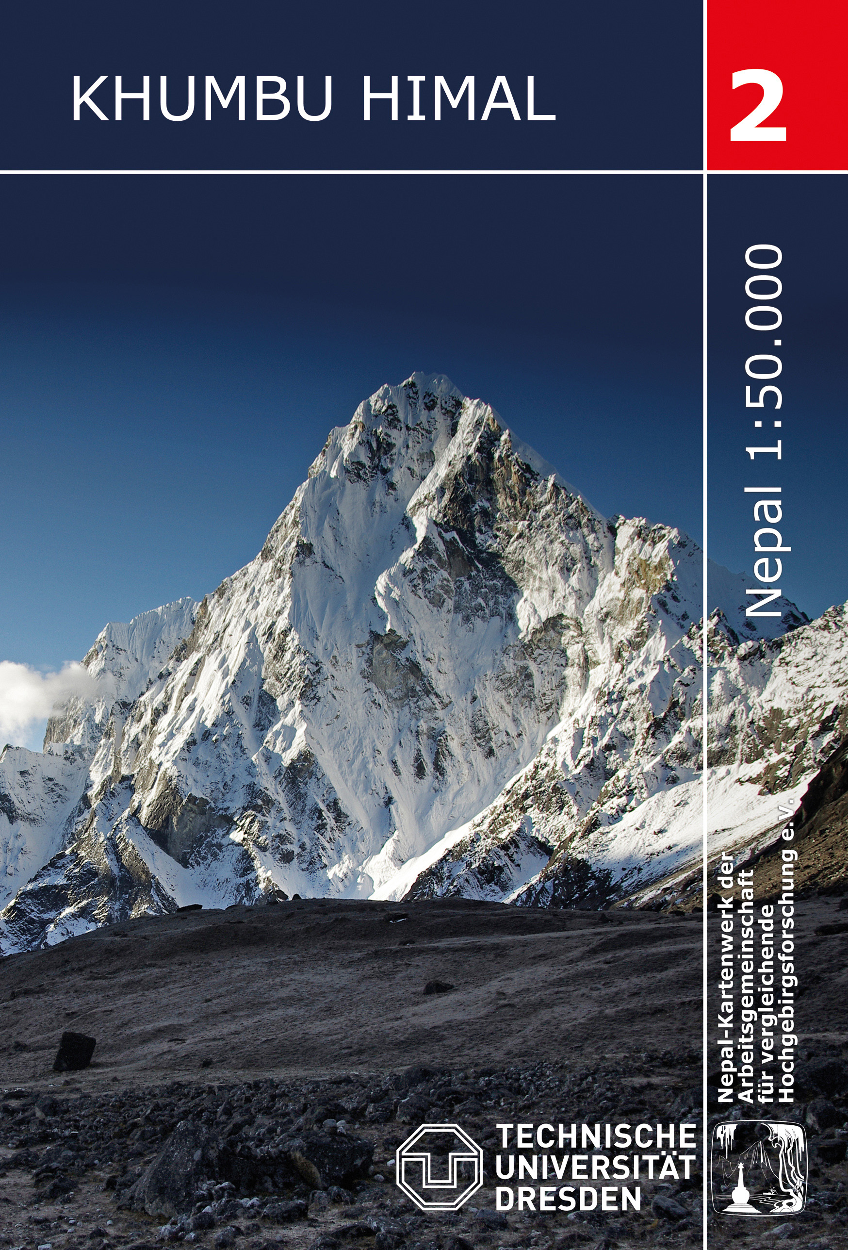
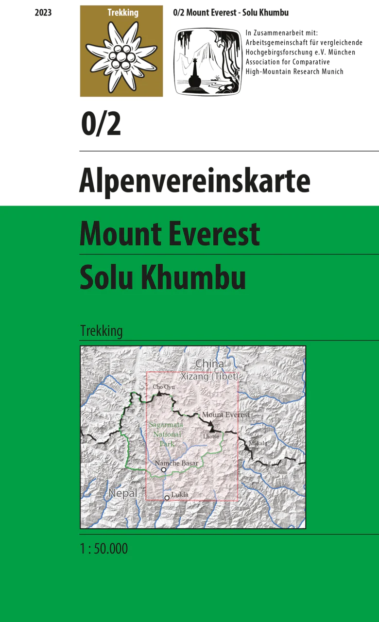
- Wandelkaart 02 Nepal Khumbu Himal | Nepal Kartenwerk
- Khumbu Himal area at 1:50,000 on a waterproof and tear-resistant map in the famous Schneider series, revised in 2013 to include extensive tourist information for trekking routes to the Mount Everest Base Camp, Gokyo Lakes, Island Peak, Makalu Base Camp, etc. Coverage extends north from Namche Bazaar and along the Tibetan border from the Lunag... Read more
- Also available from:
- Stanfords, United Kingdom

United Kingdom
- Khumbu Himal Schneider Nepal Map 02
- Khumbu Himal area at 1:50,000 on a waterproof and tear-resistant map in the famous Schneider series, revised in 2013 to include extensive tourist information for trekking routes to the Mount Everest Base Camp, Gokyo Lakes, Island Peak, Makalu Base Camp, etc. Coverage extends north from Namche Bazaar and along the Tibetan border from the Lunag... Read more
Netherlands
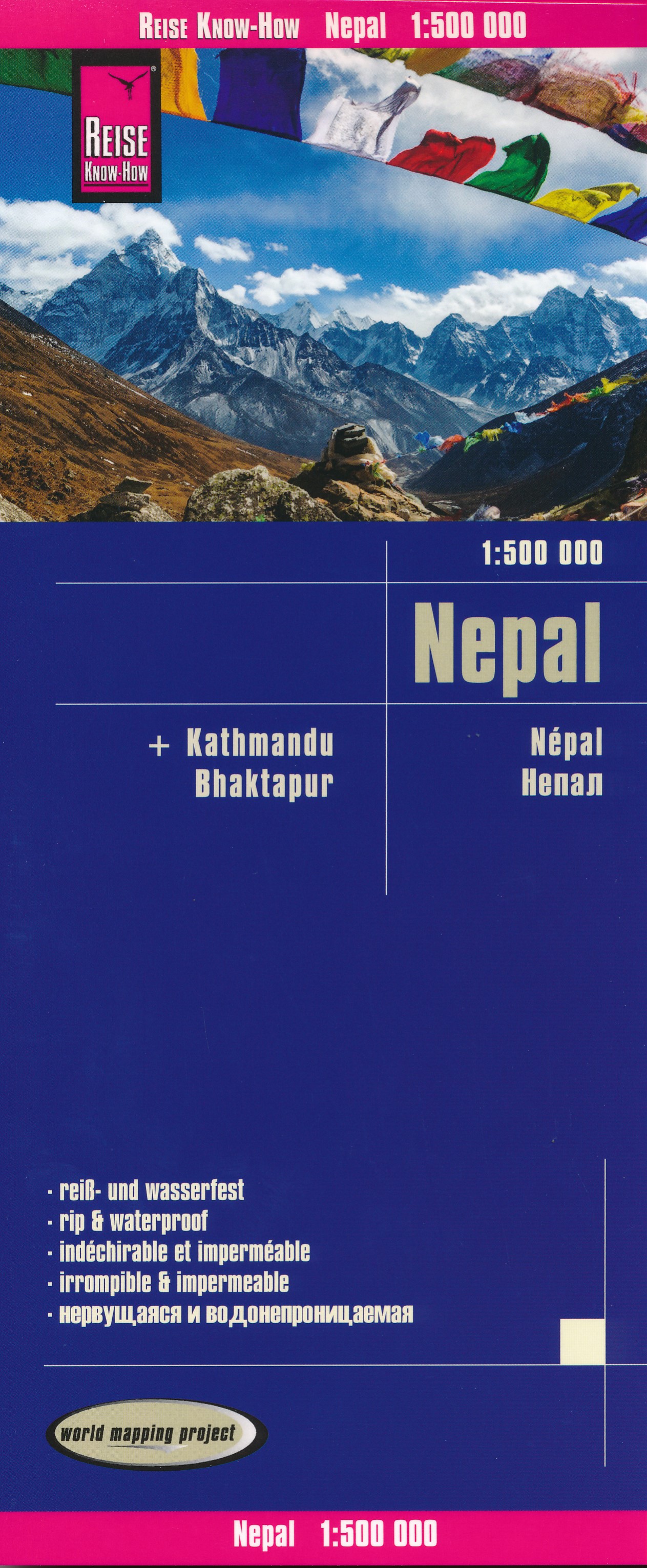
- Wegenkaart - landkaart Nepal | Reise Know-How Verlag
- Nepal on an indexed, waterproof and tear-resistant road map, ideal for locating the country`s numerous famous peaks, with topographic and tourist information, and enlargements for Kathmandu, Pokhara, and Chitwan regions, plus Bhaktapur. The map, published by Reise Know-How as part of their highly acclaimed World Mapping Project, is double-sided... Read more
- Also available from:
- Stanfords, United Kingdom

United Kingdom
- Nepal Reise Know-How
- Nepal on an indexed, waterproof and tear-resistant road map, ideal for locating the country`s numerous famous peaks, with topographic and tourist information, and enlargements for Kathmandu, Pokhara, and Chitwan regions, plus Bhaktapur. The map, published by Reise Know-How as part of their highly acclaimed World Mapping Project, is double-sided... Read more
Netherlands
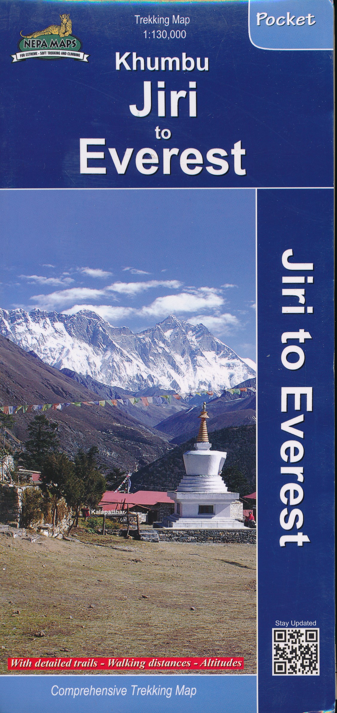
- Wandelkaart Khumbu - Jiri to Everest pocket map | Himalayan Maphouse
- Handige pocket map voor het hele gebied voor de Everest trek naar het Base Camp vanaf zowel Jiri als ook vanaf Phaplu of Lukla. Een beetje grove schaal, maar juist voor het overzicht een ideale kaart. Ook de trekkings in Rolwaling vind je hier op terug. Read more
Netherlands
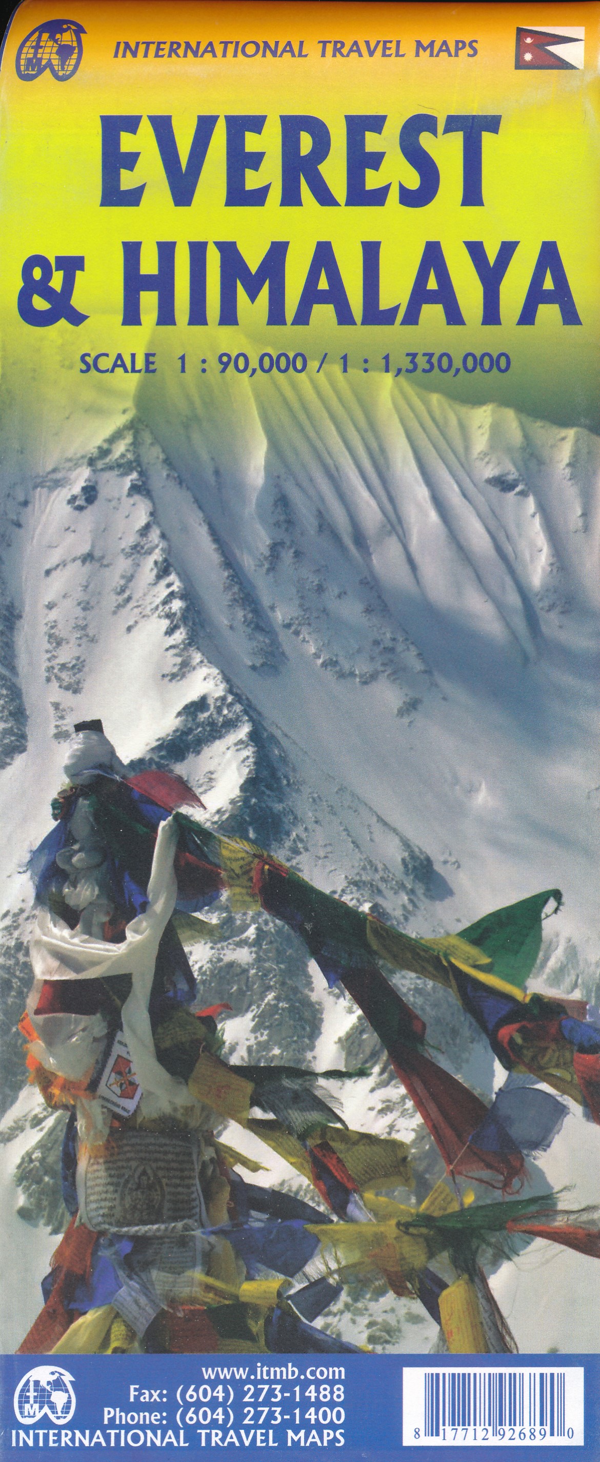
- Wandelkaart Mount Everest - Himalaya | ITMB
- Mt Everest region at 1:100,000 from ITMB on a contoured map with tourist information but with somewhat unusual choice of colouring which makes the whole area appear more like a desert rather the highest mountain range covered in glaciers!Coverage extends from Lukla to beyond the North Base Camp on the Tibetan side. The map has contour lines at... Read more
Netherlands
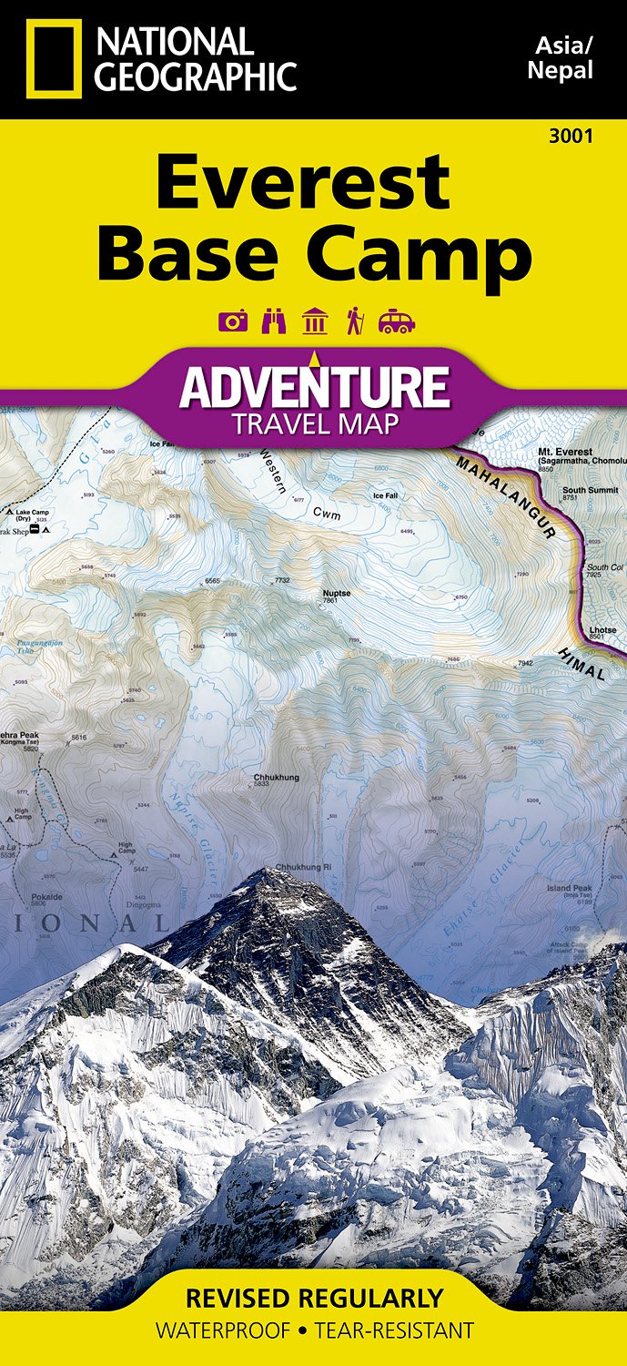
- Wandelkaart 3001 Adventure Map trekking map Everest Base Camp | National Geographic
- Everest Base Camp area at 1:50,000 approx. on indexed, light, waterproof and tear-resistant hiking map, with a plan of the Kathmandu/Patan area including an enlargement of the Thamel district, plus an overview map of the whole country.The map is part of a series covering Nepal Read more
- Also available from:
- Stanfords, United Kingdom

United Kingdom
- Everest Base Camp NGS Adventure Map 3001
- Everest Base Camp area at 1:50,000 approx. on indexed, light, waterproof and tear-resistant hiking map, with a plan of the Kathmandu/Patan area including an enlargement of the Thamel district, plus an overview map of the whole country.The map is part of a series covering Nepal’s four most popular trekking areas. The maps were prepared by the... Read more

Netherlands
- Wandelkaart The Great Himalaya Trail | GHT
- Prachtige kaartenserie van één van 'swerelds mooiste wandeltochten. The Far West is one of the least explored areas of Nepal. Its area is bounded to the east by mighty, turquoise Karnali river which flows from Tibet’s sacred Mount Kailash. Myth and superstition remain part of the fabric of life here. Though the Nepali language originated... Read more
Netherlands
2005
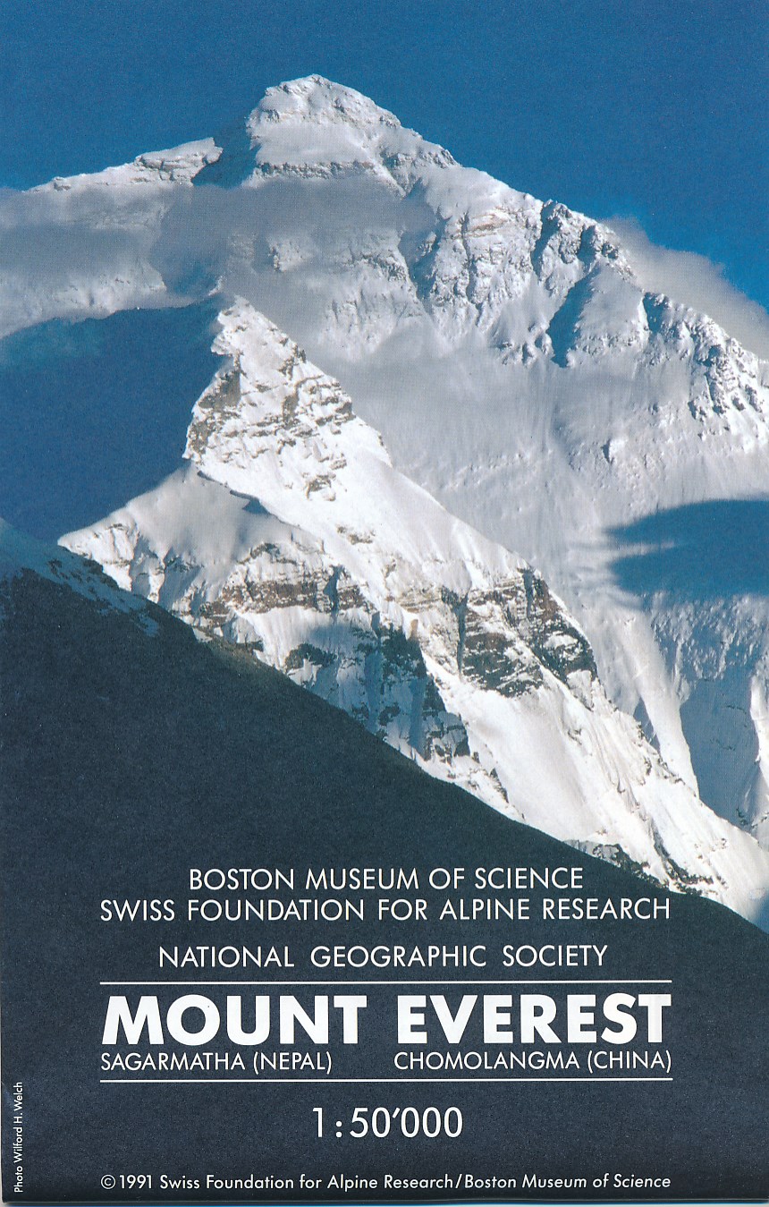
- Wandelkaart Mount Everest | Swisstopo
- Prachtige zeer gedetailleerde klimkaart van de Mount Everest en andere toppen in de directe omgeving als Lhotse en Nuptse. Het basiskamp aan de Nepal-kant staat er nog net op. Op deze kaart staan alle routes ingetekend die als eerstbeklimming gelden, deze beklimmingen worden elders op de kaart nog eens nader gspecificeerd. Read more
Netherlands
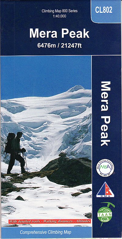
- Wandelkaart CL802 Mera Peak climbing map | Himalayan Maphouse
- Trekking route to the Mera peaks at 1:40,000 in the Nepa Maps series which provides extensive coverage of trekking areas of Nepal on detailed contoured maps with trekking routes and hiking trails, huts and camp sites, local places of interest and other tourist information.The map shows a section of the main Everest trek between Taksindu and... Read more
- Also available from:
- Stanfords, United Kingdom

United Kingdom
- Mera Peak
- Trekking route to the Mera peaks at 1:40,000 in the Nepa Maps series which provides extensive coverage of trekking areas of Nepal on detailed contoured maps with trekking routes and hiking trails, huts and camp sites, local places of interest and other tourist information.The map shows a section of the main Everest trek between Taksindu and... Read more
Netherlands
2023
Netherlands
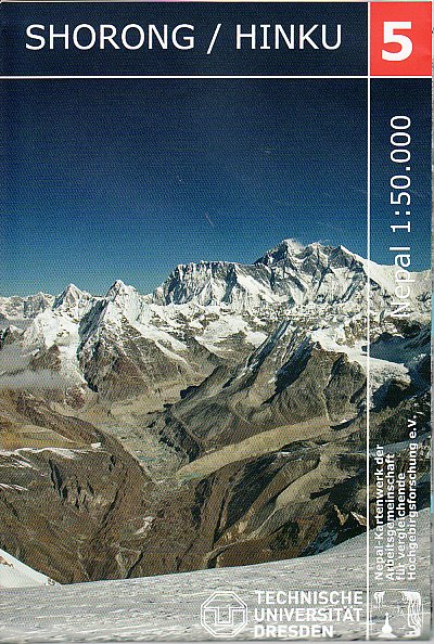
- Wandelkaart 05 Nepal Shorong - Hinku | Nepal Kartenwerk
- Shorong - Hinku region of Nepal at 1:50,000 on a waterproof and tear-resistant map in the famous Schneider series, revised in 2013 to include extensive tourist information for trekking routes in the area directly south of the Sagarmatha National Park. Centered on Lukla, coverage extends north to Namche Bazaar and south just beyond Kharikhola... Read more
- Also available from:
- Stanfords, United Kingdom

United Kingdom
- Shorong - Hinku
- Shorong - Hinku region of Nepal at 1:50,000 on a waterproof and tear-resistant map in the famous Schneider series, revised in 2013 to include extensive tourist information for trekking routes in the area directly south of the Sagarmatha National Park. Centered on Lukla, coverage extends north to Namche Bazaar and south just beyond Kharikhola... Read more
Netherlands
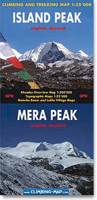
- Wandelkaart trekkingmap Island Peak - Mera Peak | Climbing-map
- Topographic climbing maps from Island & Mera Peak 1:25'000; village maps of Lukla and Namche Bazar, description of climbing routes, Khumbu general map 1:200'000; Panorama view, vegetation illustrations, climatic diagram, GPS information Read more
- Also available from:
- Stanfords, United Kingdom

United Kingdom
- Island Peak - Mera Peak
- Two peaks of Nepal’s western Himalayas, Island Peak (Imja Tse) and Mera Peak, presented by Swiss publishers Climbing Map on separate contoured and GPS compatible panels at 1:25,000; plus drawings showing approach routes to each peak, plans of Lukla and Namche Bazar, an overview map of the Khumbu Himal region, etc.On one side the main panel is... Read more
Netherlands
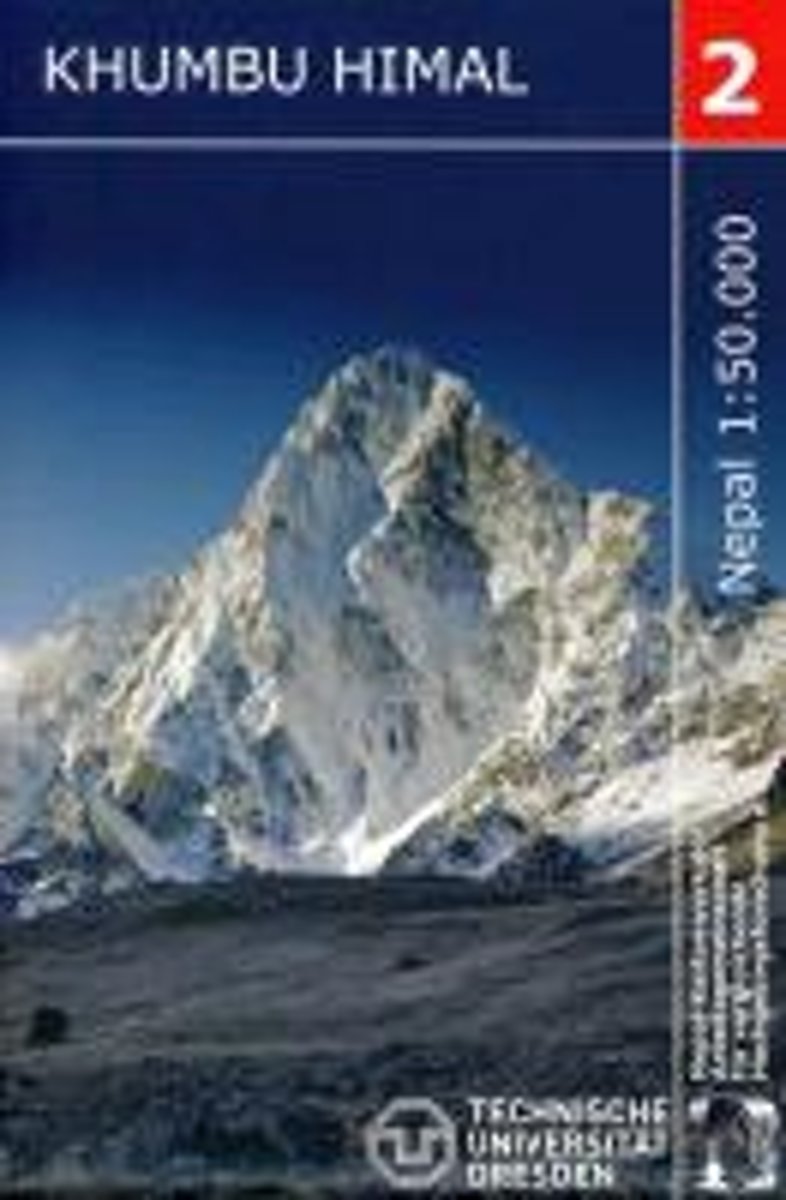
- Khumbu Himal Trekking-Karte 1 : 50 000
- Khumbu Himal area at 1:50,000 on a waterproof and tear-resistant map in the famous Schneider series, revised in 2013 to include extensive tourist information for trekking routes to the Mount Everest Base Camp, Gokyo Lakes, Island Peak, Makalu Base Camp, etc. Coverage extends north from Namche Bazaar and along the Tibetan border from the Lunag... Read more
- Also available from:
- Bol.com, Belgium
Belgium
- Khumbu Himal Trekking-Karte 1 : 50 000
- Khumbu Himal area at 1:50,000 on a waterproof and tear-resistant map in the famous Schneider series, revised in 2013 to include extensive tourist information for trekking routes to the Mount Everest Base Camp, Gokyo Lakes, Island Peak, Makalu Base Camp, etc. Coverage extends north from Namche Bazaar and along the Tibetan border from the Lunag... Read more
Netherlands
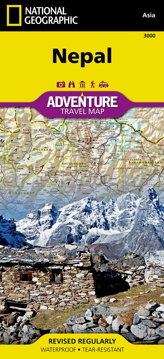
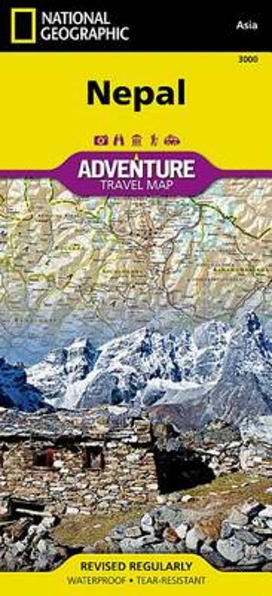
- Wegenkaart - landkaart 3000 Adventure Map Nepal | National Geographic
- Nepal Adventure Map from the National Geographic presenting the country at 1:625,000 on light, waterproof and tear-resistant synthetic paper, with a large panel showing the main sights and facilities in the Kathmandu – Patan area.The map is double-sided, dividing the country east/west with a good overlap between the sides. Topography is... Read more
- Also available from:
- Bol.com, Netherlands
- Bol.com, Belgium
- Stanfords, United Kingdom
Netherlands
- Nepal
- Waterproof Tear-Resistant Travel MapNational Geographic's Nepal AdventureMap is the most authoritative map for touring the country. Each waterproof and tear-resistant map provides travelers with the perfect combination of detail and perspective, highlighting points of interest for those venturing outside city centers.This durable, folded... Read more
Belgium
- Nepal
- Waterproof Tear-Resistant Travel MapNational Geographic's Nepal AdventureMap is the most authoritative map for touring the country. Each waterproof and tear-resistant map provides travelers with the perfect combination of detail and perspective, highlighting points of interest for those venturing outside city centers.This durable, folded... Read more

United Kingdom
- Nepal Adventure Map
- Nepal Adventure Map from the National Geographic presenting the country at 1:625,000 on light, waterproof and tear-resistant synthetic paper, with a large panel showing the main sights and facilities in the Kathmandu – Patan area.The map is double-sided, dividing the country east/west with a good overlap between the sides. Topography is... Read more

United Kingdom
- Everest Region Trekking Map
- Mount Everest area on a trekking map at 1:75,000 from the Kolkata/Calcutta based Milestone Books, highlighting main trekking routes and showing peaks, passes and selected locations with altitude both in metres and feet. Coverage extends from just south of Lukla to the Chinese side of Mount Everest and the peaks of Cho Oyo and Gyachung Kang.The... Read more

United Kingdom
- Numbur Cheese Circuit
- Numbur Cheese Circuit at 1:100,000 in the Nepa Maps series which provides extensive coverage of trekking areas of Nepal on detailed contoured maps with trekking routes and hiking trails, huts and camp sites, local places of interest and other tourist information.The map covers the same area as the publishers’ “Jiri to Everest” title and has... Read more