
Noord-Brabant
Beschrijving
Kaart

Paden in deze landsdeel
- Airbornepad Market GardenGPX
- Brabants GrensdijkjespadGPX
- Brabants VennenpadGPX
- Brabantse WalGPX
- E2GPX
- Floris V-padGPX
- GR12 - Amsterdam - ParisGPX
- GR5GPX
- GR561 - Kempen-MaaspadGPX
- GR565 - Renier SniederspadGPX
- GrenslandpadGPX
- Hertog HendrikpadGPX
- HertogenpadGPX
- Jacobsweg Amstelredam
- Jacobsweg Amsvorde
- Jacobsweg Nieumeghen
- Jacobsweg Thuredrecht
- KempenGPX
- Kempen-BroekGPX
- Maarten van RossumpadGPX
- Maas- en PeelliniepadGPX
- Peellandpad
- PelgrimspadGPX
- Rondom de Sint JanGPX
- Streekpad NijmegenGPX
- Via BrabanticaGPX
- Via MonasticaGPX
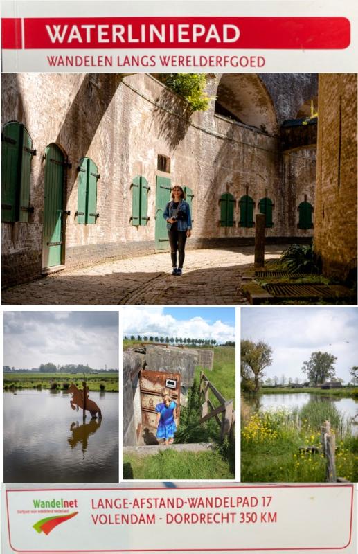
- WaterliniepadGPX
Links
Feiten
Verslagen
Gidsen en kaarten
Overnachting
Organisaties
Reisorganisaties
GPS
Anders
Boeken

De Zwerver
Netherlands
2021
Netherlands
2021
- Wandelgids 265 Vogesen - Durchquerung: GR53 GR5 | Rother Bergverlag
- In 37 etappes over de Lange Astands Wandelingen GR 53, GR 5 en GR 531 van Wissembourg naar Giromagny en Masevaux door de prachtige Vogezen. Goed alternatief voor de langverwachte maar nog steeds niet uitgekomen Crete des Vosges wandelgids van FFRP. Duitse samenvatting: Die Vogesen sind nicht nur eines der urwüchsigsten Mittelgebirge in unseren... Read more

De Zwerver
Netherlands
2023
Netherlands
2023
De Zwerver
Netherlands
2018
Netherlands
2018
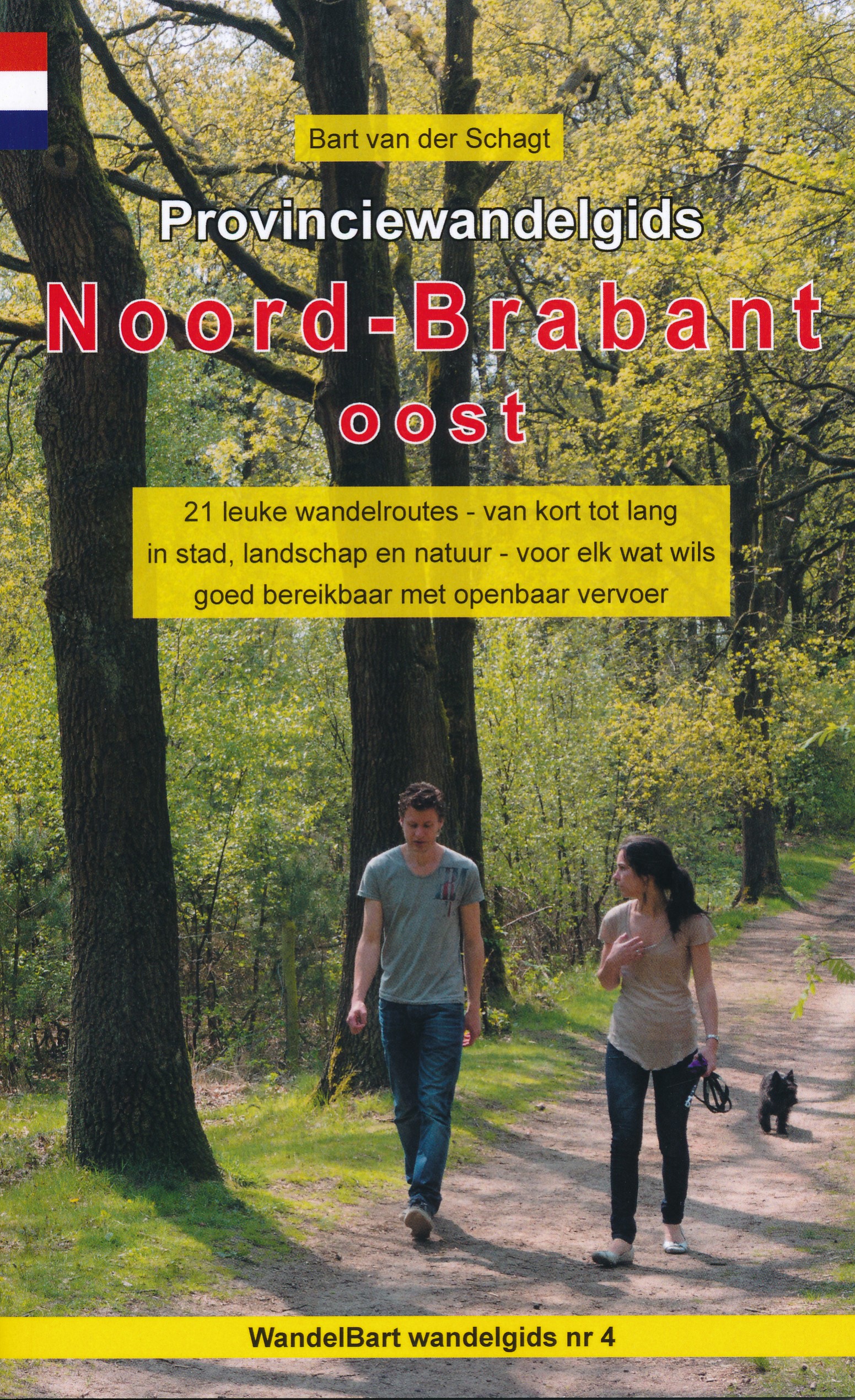
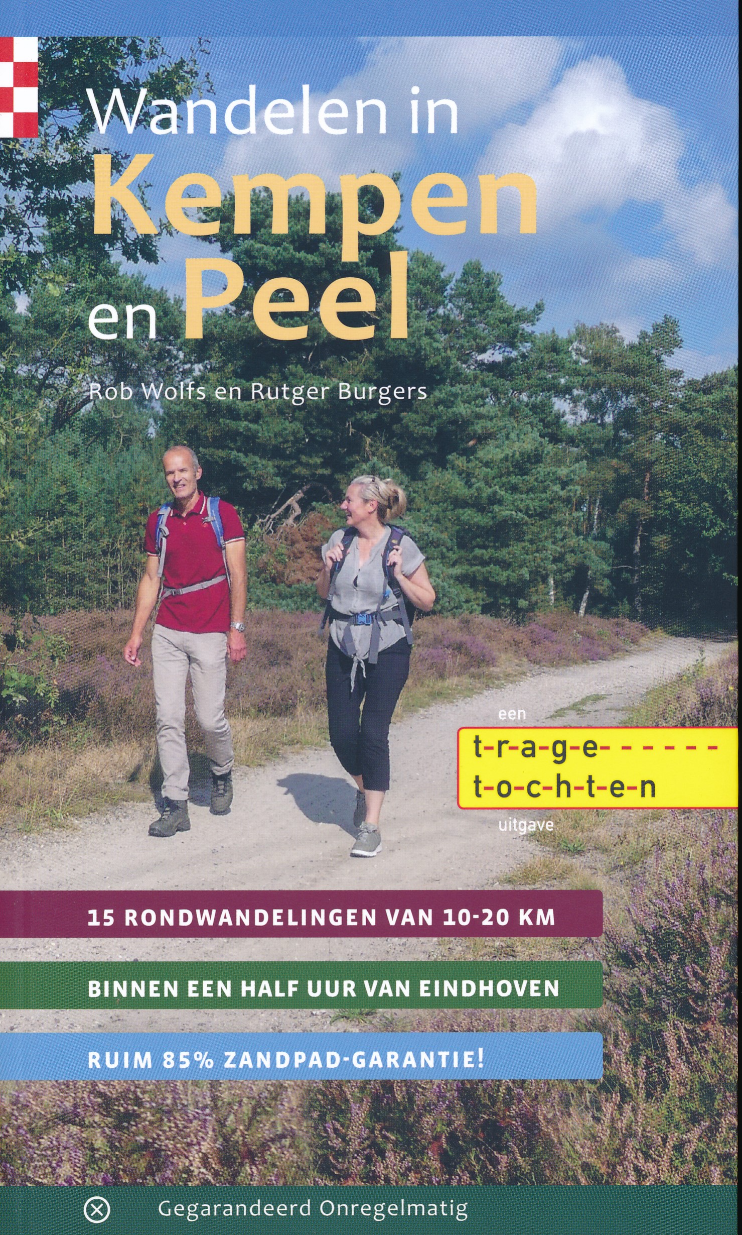
- Wandelgids 4 Provinciewandelgids Noord-Brabant oost | Anoda Publishing
- De 21 wandelroutes in dit boekje zijn zeer divers: een leuke groene stadswandeling door Eindhoven en talrijke wandeltochten door het zeer gevarieerde landschap van het oostelijk deel van Noord-Brabant. De wandelingen gaan door stille bossen, over uitgestrekte heidevelden, door het kleinschalige Brabantse boerenland en over leuke paadjes langs... Read more
De Zwerver
Netherlands
2018
Netherlands
2018

De Zwerver
Netherlands
2009
Netherlands
2009
- Wandelgids GR 5 Mer Du Nord-Mediterrannee Noordzee - Middellandse Zee deel Ardennen (Maastricht - Diekirch ) | GR Sentiers
- LET OP: deze wandelgids van dit deel van de GR5 is alleen nog maar in het Frans leverbaar. De Nederlandstalige versie is geheel uitverkocht, niet meer te bestellen en er komt naar alle waarschijnlijkheid geen nieuwe versie in het Nederlands! Uitstekende routegids met gedetailleerde kaarten en een routebeschrijving. Fout lopen wordt op deze... Read more
De Zwerver
Netherlands
2015
Netherlands
2015
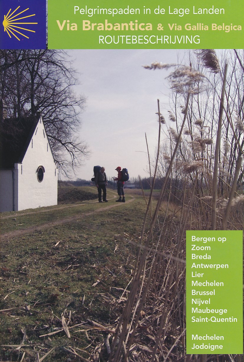
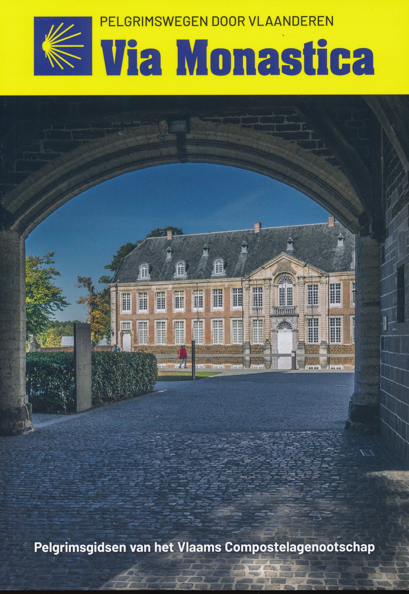
- Wandelgids - Pelgrimsroute Via Brabantica & Via Gallica Belgica | Vlaams Compostelagenootschap
- Deze beschrijving bestaat uit 2 verschillende boekjes: één voor de routebeschrijving en de andere bevat een groot aantal gedetailleerde kaarten van de route op schaal 1:50.000. De route is op deze kaarten keurig ingetekend. Let wel: deze boekjes zijn niet los verkrijgbaar, je zult de set moeten aanschaffen. Maar ook juist aan de... Read more
De Zwerver
Netherlands
2021
Netherlands
2021


De Zwerver
Netherlands
2009
Netherlands
2009
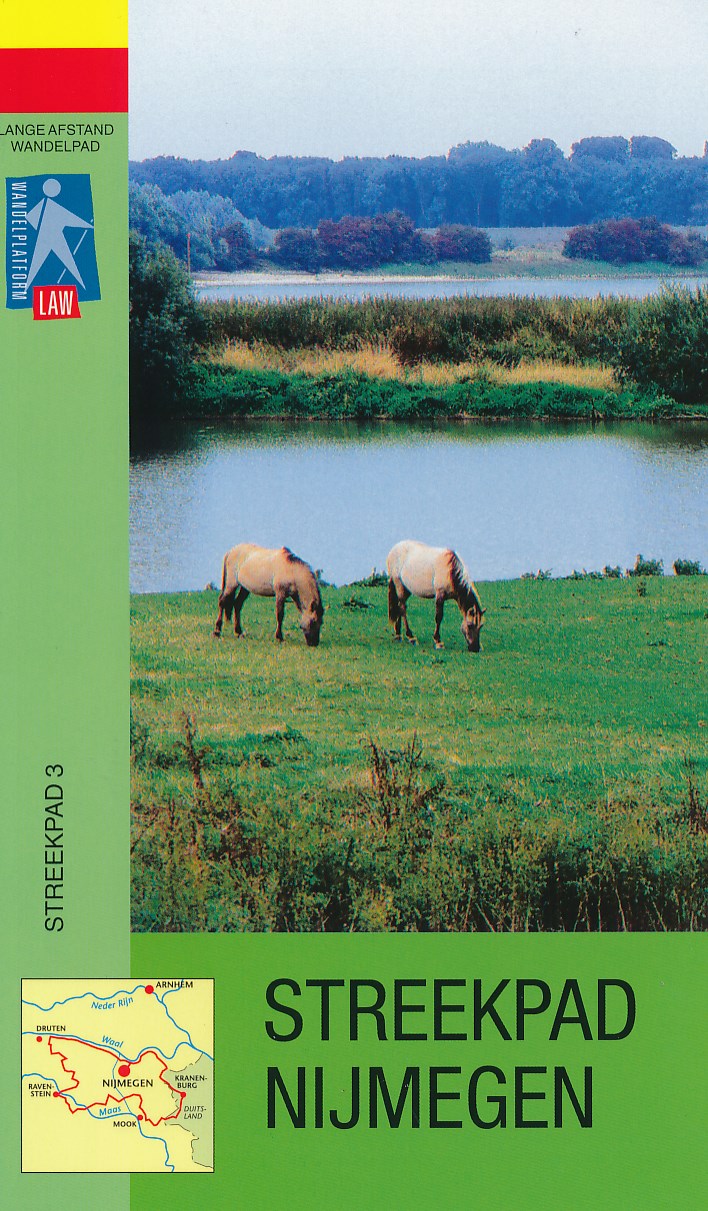
- Wandelgids S3 Streekpad Nijmegen | Wandelnet
- Routegids met gedetailleerde topografische kaarten waar de route duidelijk op ingetekend is. Daarnaast alle noodzakelijke informatie als openbaar vervoer. Streekpad Nijmegen is een route met een veelheid aan landschappen: kronkelende dijken en uiterwaarden langs de grote rivieren, rivierduinen in het Land van Maas en Waal, glooiende bossen in... Read more
De Zwerver
Netherlands
2018
Netherlands
2018
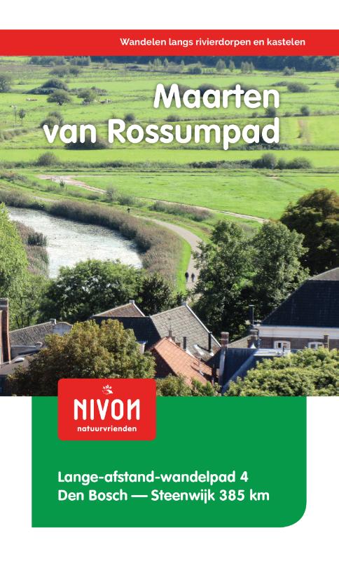
- Wandelgids 4 LAW Maarten van Rossumpad Den Bosch - Steenwijk | Nivon
- Routegids met gedetailleerde topografische kaarten waar de route duidelijk op ingetekend is. Daarnaast alle noodzakelijke informatie als openbaar vervoer en overnachtingsadressen. Traject : 's-Hertogenbosch-Steenwijk; lengte : 385 km Het Maarten van Rossumpad is vernieuwd. In de voetsporen van deze krijgsheer uit de 15e eeuw voert dit pad... Read more
Meer boeken…
Kaarten


De Zwerver
Netherlands
2014
Netherlands
2014
- Wandelkaart 07 Mercantour & Alpi-Maritieme | Didier Richard
- Mercantour National Park and the Maritime Alps on a large, double-sided, contoured and GPS compatible map from Editions Didier Richard highlighting local walking trails and long-distance hiking routes including the GR5. Coverage extends from well north of Col de Larch to Sospel, Levens and Roquestéron in the mountains north of the French... Read more
- Also available from:
- Stanfords, United Kingdom

Stanfords
United Kingdom
2014
United Kingdom
2014
- Mercantour & Alpi-Marittime Didier Richard 07
- Mercantour National Park and the Maritime Alps on a large, double-sided, contoured and GPS compatible map from Editions Didier Richard highlighting local walking trails and long-distance hiking routes including the GR5. Coverage extends from well north of Col de Larch to Sospel, Levens and Roquestéron in the mountains north of the French... Read more


De Zwerver
Netherlands
2016
Netherlands
2016
- Wandelkaart 04 Vanoise - Beaufortain | Didier Richard
- Vanoise National Park and the Beaufortain Massif in the French Alps at 1:60,000 on a contoured and GPS compatible map from Didier Richard with a base derived from IGN Read more
- Also available from:
- Stanfords, United Kingdom

Stanfords
United Kingdom
2016
United Kingdom
2016
- Vanoise National Park - Beaufortain Didier Richard 04
- Vanoise National Park and the Beaufortain Massif in the French Alps at 1:60,000 on a contoured and GPS compatible map from Didier Richard with a base derived from IGN’s topographic survey, highlighting both local hiking routes and the GR network of long-distance paths, gîtes and mountain refuges, interesting natural and cultural sites, etc. The... Read more
De Zwerver
Netherlands
2013
Netherlands
2013
De Zwerver
Netherlands
Netherlands

De Zwerver
Netherlands
Netherlands
- Wandelkaart 05 Outdoorkarte FR Elsass - Colmar - Sélestat - Elzas | Kümmerly & Frey
- The central part of Alsace around Colmar and Sélestat on a GPS compatible, double-sided map at 1:50,000 from Kümmerly+Frey printed on sturdy, waterproof and tear-resistant synthetic paper; contoured, with hiking and cycling routes, sites for other recreational activities, various accommodation options, restaurants and ferme-auberge locations,... Read more
- Also available from:
- Stanfords, United Kingdom

Stanfords
United Kingdom
United Kingdom
- Alsace - Colmar - Sélestat - Freiburg im Breisgau - Lahr K+F Outdoor Map 5
- The central part of Alsace around Colmar and Sélestat on a GPS compatible, double-sided map at 1:50,000 from Kümmerly+Frey printed on sturdy, waterproof and tear-resistant synthetic paper; contoured, with hiking and cycling routes, sites for other recreational activities, various accommodation options, restaurants and ferme-auberge locations,... Read more
De Zwerver
Netherlands
Netherlands

De Zwerver
Netherlands
Netherlands
- Wandelkaart 07 Outdoorkarte FR Elsass, Vogesen - Alsace, Strasbourg Elzas - Vogezen | Kümmerly & Frey
- The central part of Alsace around Strasbourg and Saverne on a GPS compatible, double-sided map at 1:50,000 from K Read more
- Also available from:
- Stanfords, United Kingdom

Stanfords
United Kingdom
United Kingdom
- Alsace - Strasbourg - Saverne - Barr - Offenburg K+F Outdoor Map 7
- The central part of Alsace around Strasbourg and Saverne on a GPS compatible, double-sided map at 1:50,000 from Kümmerly+Frey printed on sturdy, waterproof and tear-resistant synthetic paper; contoured, with hiking and cycling routes, sites for other recreational activities, various accommodation options, restaurants and ferme-auberge... Read more
Meer kaarten…
