
Fuerteventura, Canarias
Beschrijving

The Canary island of Fuerteventura has recently been declared a biosphere reserve by Unesco. It shares this status with Tenerife, but that’s about the only resemblance between the two islands.
Fuerteventura is a large, dry island, almost treeless, eroded by winds since it is by far the oldest of the Canary Islands. Highest point is only 807 m. Still, this island is a very good place for hiking. The semi desert inland with its colourful sands and volcanoes contrast with the azur blue coastline and is virtually empty of habitation. Most people live along the coast, and in some big towns where the main tourist influx happens (windsurfing).
This exotic scenery is the background for many nature reserves - 30% of the island - rich in rare birds and animals, including Egyptian Vultures and wild dogs and cats. Moreover, a fantastic trail traverses the island from north to south, the GR131.
Best time for hiking is winter. This is the time of the “eternal spring”. Temperatures are around 20 degrees Celsius. Most rain is in October. Summer is pleasant too, but bring sun protection, and plan your siesta in the afternoon.
Check the complete list of Canary Islands.
Kaart

Paden in deze regio
Links
Feiten
Verslagen
Gidsen en kaarten
Overnachting
Organisaties
Reisorganisaties
GPS
Anders
Boeken
Netherlands
2018
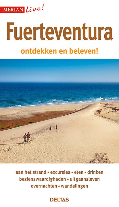
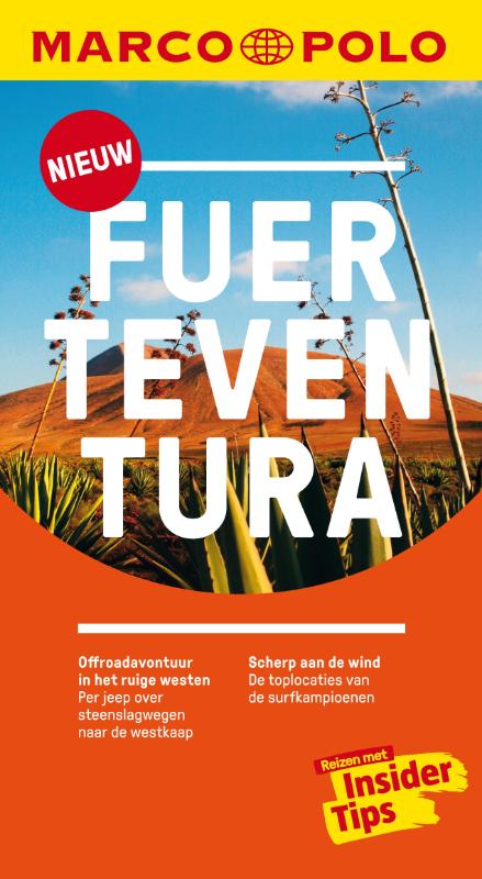
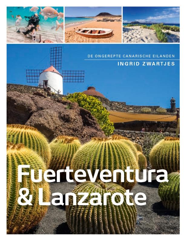
- Reisgids Merian live Fuerteventura | Deltas
- Leuke handzame reisgids met een beschrijving van alle bezienswaardigheden; vrij veel praktische tips als het gaat om bijv. Accommodatie of restaurants. Goed voor een eerste kennismaking met het land. Handzaam reisgidsje met de volgende hoofdstukken: - Aan het strand - Excursies - Bezienswaardigheden - Eten en Drinken - Uitgangsleven -... Read more
Netherlands
2023
Netherlands
2022

Netherlands
2021
Netherlands
2015
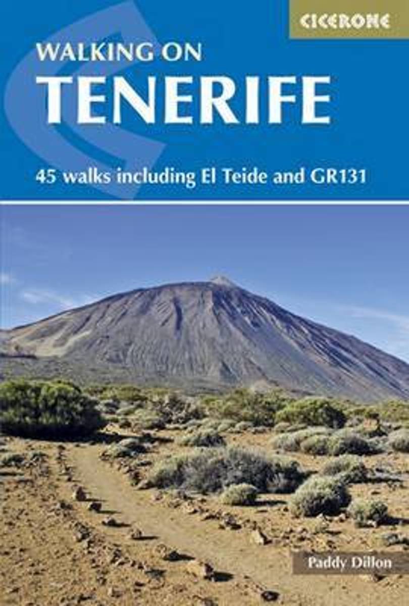
- Walking on Tenerife
- The latest in Paddy Dillon's series of guides to the Canary Islands, this guide covers all the best walking to be had on this hugely popular island, including routes along the GR131. With distance and difficulty ranging from short and easy to long and arduous there is suitable challenge for walkers of all abilities here, on 45 routes that... Read more
- Also available from:
- Bol.com, Belgium
Belgium
2015
- Walking on Tenerife
- The latest in Paddy Dillon's series of guides to the Canary Islands, this guide covers all the best walking to be had on this hugely popular island, including routes along the GR131. With distance and difficulty ranging from short and easy to long and arduous there is suitable challenge for walkers of all abilities here, on 45 routes that... Read more
Netherlands
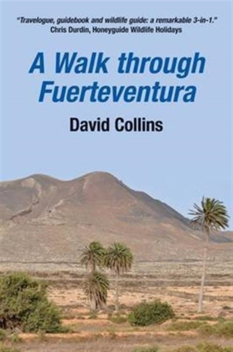
- A Walk Through Fuerteventura
- Fuerteventura is well known to tourists for its beaches and its windsurfing. But there is much more to it than this. This book is a passionate account of the island. It is not a guide book but an authoritative account written by someone who really knows the island. It describes the walk over the mountains and remote desert landscapes of the... Read more
- Also available from:
- Bol.com, Belgium
Belgium
- A Walk Through Fuerteventura
- Fuerteventura is well known to tourists for its beaches and its windsurfing. But there is much more to it than this. This book is a passionate account of the island. It is not a guide book but an authoritative account written by someone who really knows the island. It describes the walk over the mountains and remote desert landscapes of the... Read more
Netherlands
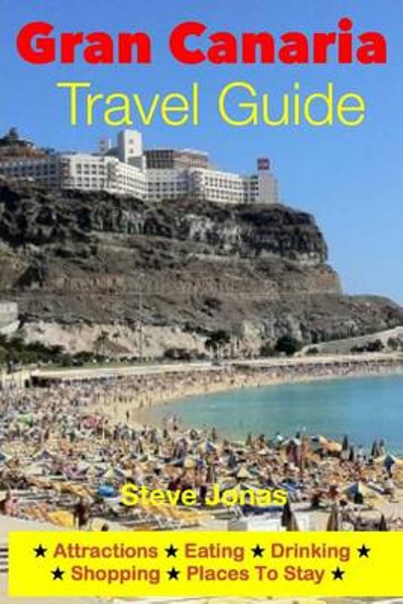
- Gran Canaria Travel Guide - Attractions, Eating, Drinking, Shopping & Places to Stay
- Gran Canaria is the third largest island in the Canary Islands (after Tenerife and Fuerteventura) and has the archipelago's largest population. It's often described as a "miniature continent" because of the variety it offers. The capital, Las Palmas de Gran Canaria is in the northeastern region of Gran Canaria and is one of the largest cities... Read more
- Also available from:
- Bol.com, Belgium
Belgium
- Gran Canaria Travel Guide - Attractions, Eating, Drinking, Shopping & Places to Stay
- Gran Canaria is the third largest island in the Canary Islands (after Tenerife and Fuerteventura) and has the archipelago's largest population. It's often described as a "miniature continent" because of the variety it offers. The capital, Las Palmas de Gran Canaria is in the northeastern region of Gran Canaria and is one of the largest cities... Read more
Kaarten

Netherlands
2015
- Wegenkaart - landkaart Spanje | Borch
- Espana (Spanien) 1 : 1 875 000 ab 9.9 EURO Espana del Oeste, Espana del Este, Islas Canarias Borch Map. 9. Auflage Read more
Netherlands
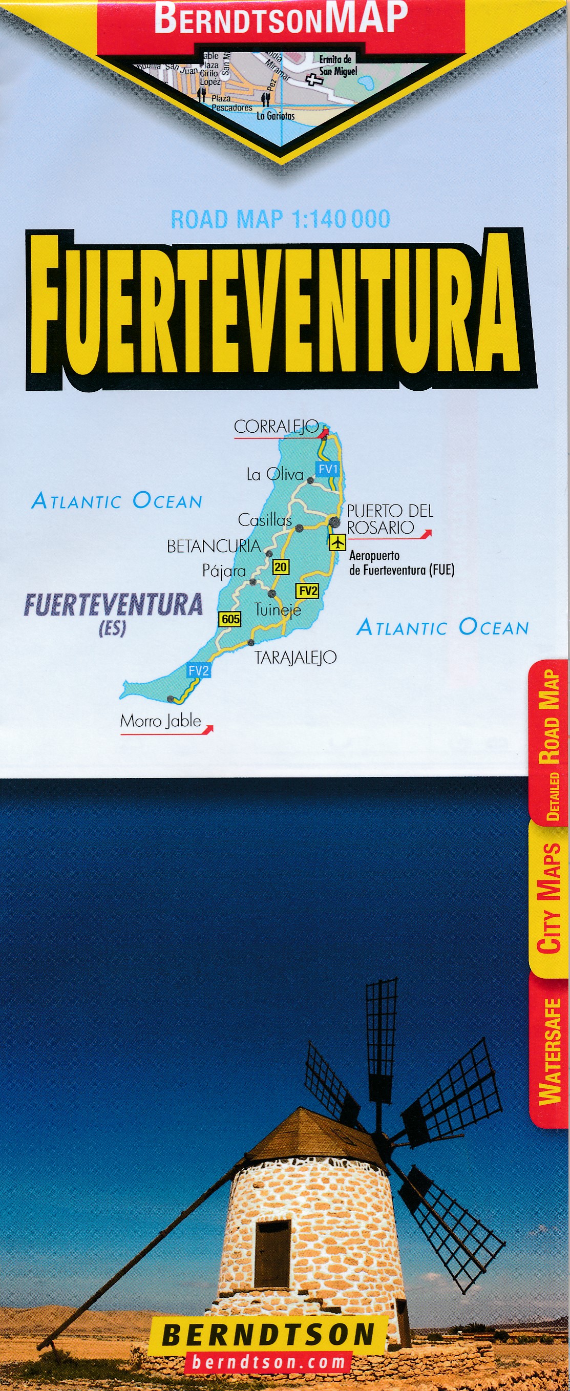
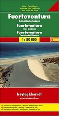
- Wegenkaart - landkaart Fuerteventura | Freytag & Berndt
- Fuerteventura at 1:100,000 on a map from Freytag & Berndt with icons highlighting numerous places of interest and recreational facilities including campsites. The island Read more
- Also available from:
- Stanfords, United Kingdom

United Kingdom
- Fuerteventura F&B
- Fuerteventura at 1:100,000 on a map from Freytag & Berndt with icons highlighting numerous places of interest and recreational facilities including campsites. The island’s topography is well presented by relief shading with spot heights, names of peaks and other geographical features, and boundaries of protected areas.The map highlights scenic... Read more

- Also available from:
- Stanfords, United Kingdom

United Kingdom
- Lanzarote Kompass 241
- Lanzarote at 1:50,000 on a contoured and GPS compatible map from Kompass, with extensive tourist overprint, plus street plans of Arrecife, Puerto del Carmen and Teguise. Coverage includes the nearby islands of Graciosa, Montaña Clara and Alwegranza.Topography is vividly presented by contours at 50m intervals, enhanced by relief shading plus... Read more
- Also available from:
- Stanfords, United Kingdom

United Kingdom
2020
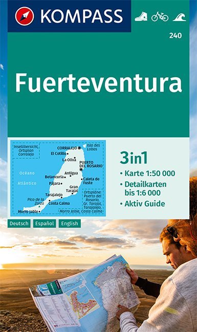
- Fuerteventura Kompass 240
- Fuerteventura ar 1:50,000 in a series of maps of the Canary Islands from Kompass, Europe’s leading publisher of detailed, contoured hiking maps. Excellent also for exploring each island on bike or by car, the maps highlight numerous hiking trails, indicating difficult sections, and show cycle routes. A wide range of symbols highlight various... Read more

Netherlands
- Lanzarote WK241
- Toeristische kaart voor wandelen, fietsen en vrije tijd met activiteitengids en stadsplattegronden • goed leesbare schaal van 1:50 000 • te gebruiken met GPS • met praktische informatie over de regio • wandel- en fietspaden • aanbevolen routes • kastelen • uitzichtpunten • stranden en baaien • toeristische informatie • veel topografische... Read more
- Also available from:
- Bol.com, Belgium
Belgium
- Lanzarote WK241
- Toeristische kaart voor wandelen, fietsen en vrije tijd met activiteitengids en stadsplattegronden • goed leesbare schaal van 1:50 000 • te gebruiken met GPS • met praktische informatie over de regio • wandel- en fietspaden • aanbevolen routes • kastelen • uitzichtpunten • stranden en baaien • toeristische informatie • veel topografische... Read more
Netherlands
2009
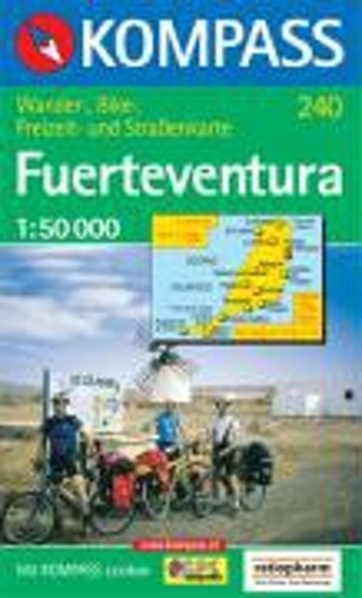
- Fuerteventura WK240
- Toeristische kaart voor wandelen, fietsen en vrije tijd met activiteitengids en stadsplattegronden • goed leesbare schaal van 1:50 000 • te gebruiken met GPS • met praktische informatie over de regio • wandel- en fietspaden • aanbevolen routes • kastelen • uitzichtpunten • stranden en baaien • toeristische informatie • veel topografische... Read more
- Also available from:
- Bol.com, Belgium
Belgium
2009
- Fuerteventura WK240
- Toeristische kaart voor wandelen, fietsen en vrije tijd met activiteitengids en stadsplattegronden • goed leesbare schaal van 1:50 000 • te gebruiken met GPS • met praktische informatie over de regio • wandel- en fietspaden • aanbevolen routes • kastelen • uitzichtpunten • stranden en baaien • toeristische informatie • veel topografische... Read more

Netherlands
- Kanaren/DVD-ROM
- Deze digitale wandel-, fiets- en skiroute kaarten van Kompass op CD of DVD zijn bruikbaar met GPS • je kunt inzoomen op de kaart tot een schaal van 1: 10 000 • prima manier om je eigen route te plannen, met hoogteprofielen • zeer eenvoudig om de gekozen route te printen of te downloaden op mobiele telefoon of PDA • vlieg vogelvlucht over een... Read more
- Also available from:
- Bol.com, Belgium
Belgium
- Kanaren/DVD-ROM
- Deze digitale wandel-, fiets- en skiroute kaarten van Kompass op CD of DVD zijn bruikbaar met GPS • je kunt inzoomen op de kaart tot een schaal van 1: 10 000 • prima manier om je eigen route te plannen, met hoogteprofielen • zeer eenvoudig om de gekozen route te printen of te downloaden op mobiele telefoon of PDA • vlieg vogelvlucht over een... Read more
Netherlands
2018
- Kompass WK240 Fuerteventura
- Toeristische kaart voor wandelen, fietsen en vrije tijd met activiteitengids en stadsplattegronden; goed leesbare schaal van 1:50 000; te gebruiken met GPS; met praktische informatie over de regio; wandel- en fietspaden; aanbevolen routes; kastelen; uitzichtpunten; stranden en baaien; toeristische informatie; veel topografische details; Duitstalig Read more
- Also available from:
- Bol.com, Belgium
Belgium
2018
- Kompass WK240 Fuerteventura
- Toeristische kaart voor wandelen, fietsen en vrije tijd met activiteitengids en stadsplattegronden; goed leesbare schaal van 1:50 000; te gebruiken met GPS; met praktische informatie over de regio; wandel- en fietspaden; aanbevolen routes; kastelen; uitzichtpunten; stranden en baaien; toeristische informatie; veel topografische details; Duitstalig Read more

Netherlands
- Tenerife Hikers Maps
- Our latest hiking research on Tenerife has resulted in new editions of Walk! Tenerife and Tenerife Hikers' Super-Durable Maps being published in 2017. Thanks to Jan Kostura's 2016 research we have several new hiking adventures described in detail in Walk! Tenerife. Jan's gps records of his research for new routes and updating of current routes... Read more
- Also available from:
- Bol.com, Belgium
Belgium
- Tenerife Hikers Maps
- Our latest hiking research on Tenerife has resulted in new editions of Walk! Tenerife and Tenerife Hikers' Super-Durable Maps being published in 2017. Thanks to Jan Kostura's 2016 research we have several new hiking adventures described in detail in Walk! Tenerife. Jan's gps records of his research for new routes and updating of current routes... Read more

United Kingdom
- Gran Tarajal CNIG Topo 1100
- Gran Tarajal area of Fuerteventura, map No. 1100 in the topographic coverage of the Canary Islands at 1:50,000 from the Instituto Geográfico Nacional - Centro Nacional de Información Geograficá, Spain’s civilian survey organization. Maps in the MTN50 (Mapa Topográfico Nacional) series begun in late 1990s have contours at 20m intervals enhanced... Read more

United Kingdom
- El Cotillo CNIG Topo 1086-3
- Topographic coverage of the Canary Islands at 1:25,000 published by the Instituto Geográfico Nacional – Centro Nacional de Información Geografica, the country’s civilian survey organization. The maps have contours at 10m intervals and colouring and/or graphics to show different types of vegetation or land use. Boundaries of national parks and... Read more
United Kingdom
- Tuineje 25K Fuerteventura CNIG Topographic Survey Map No. 1094-III/1093-IV
- Topographic coverage of the Canary Islands at 1:25,000 published by the Instituto Geográfico Nacional – Centro Nacional de Información Geografica, the country’s civilian survey organization. The maps have contours at 10m intervals and colouring and/or graphics to show different types of vegetation or land use. Boundaries of national parks and... Read more

United Kingdom
- Canary Islands East: Gran Canaria, Fuerteventura, Lanzarote 500K CNIG Regional Map No.
- Eastern Canary Islands (Gran Canaria, Fuerteventure and Lanzarote) at 1:500,000 in a series of regional road map of Spain from the country’s civilian survey organization IGN-CNIG (Instituto Geográfico Nacional - Centro Nacional de Información Geográfica), vividly presenting the topography by altitude colouring, boundaries of national/natural... Read more
United Kingdom
- La Oliva 25K Fuerteventura CNIG Topographic Survey Map No. 1086-IV
- Topographic coverage of the Canary Islands at 1:25,000 published by the Instituto Geográfico Nacional – Centro Nacional de Información Geografica, the country’s civilian survey organization. The maps have contours at 10m intervals and colouring and/or graphics to show different types of vegetation or land use. Boundaries of national parks and... Read more