
Majorca, Baleares
Beschrijving

The largest of the Islas Baleares, Majorca - or Mallorca - is a popular holiday destination thanks to its beaches and climate. Much of the island is pretty flat, with larges settlements along its coastline and farmland in its centre.
The northern part of Mallorca is mountainous: Serra de Tramuntana. Here most of the hiking trails can be found. The mountain ridges seem to roll out of the centre of the island, like waves tipping over towards the sea, the white crests sticking out of the forests. Main trail on the island is the GR221, traversing the Serra de Tramuntana. The other trail is the GR222 crossing the island from east to west. Both trails are still under construction, but the itineraries are set out. Refuges - both private and municipal - can be found along these trails. Many shorter hiking trails on the island are marked.
Check the list of Balearic Islands.
Kaart

Paden in deze regio
Links
Feiten
Verslagen
Gidsen en kaarten
Overnachting
Organisaties
Reisorganisaties
GPS
Anders
Boeken

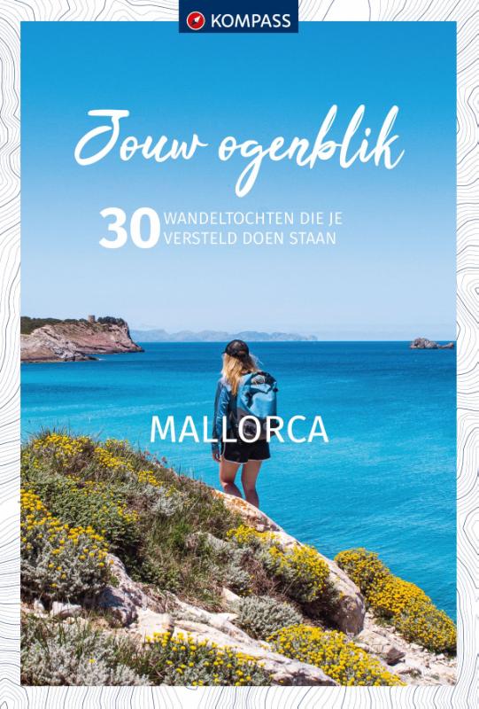
Netherlands
2020
Netherlands
2012
- Wandelgids Hikeline Mallorca | Esterbauer
- Handzame gids met een goede beschrijving van een groot aantal dagtochten in dit gebied. De gids is in spiraalbinding en elke pagina is op scheur- en watervast papier gedrukt. Daar is echt over nagedacht! Mallorca ist die größte Insel der Balearen, was in ihrem Namen schon abzulesen ist (lat. insula maior). Die Balearen liegen im westlichen... Read more
Netherlands
2018
- Reisgids Mallorca en Menorca | Edicola
- 'Todo bajo el Sol'. Dat was de reden waarom we allemaal met de zomervakantie naar Mallorca en Menorca gingen. Tegenwoordig is er in het aangename klimaat ook van alles te doen in de winter. Mallorca en Menorca vertegenwoordigen het continent Spanje in het klein. Het huidige katholieke Spanje is gevormd door koning Jacobus I, die aan land ging... Read more
Netherlands
2021
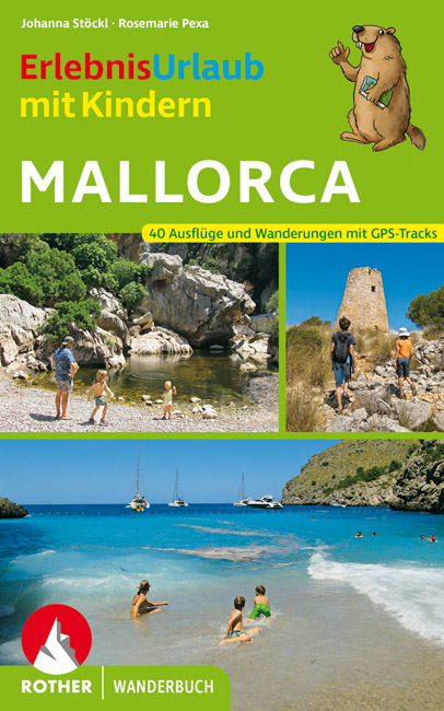
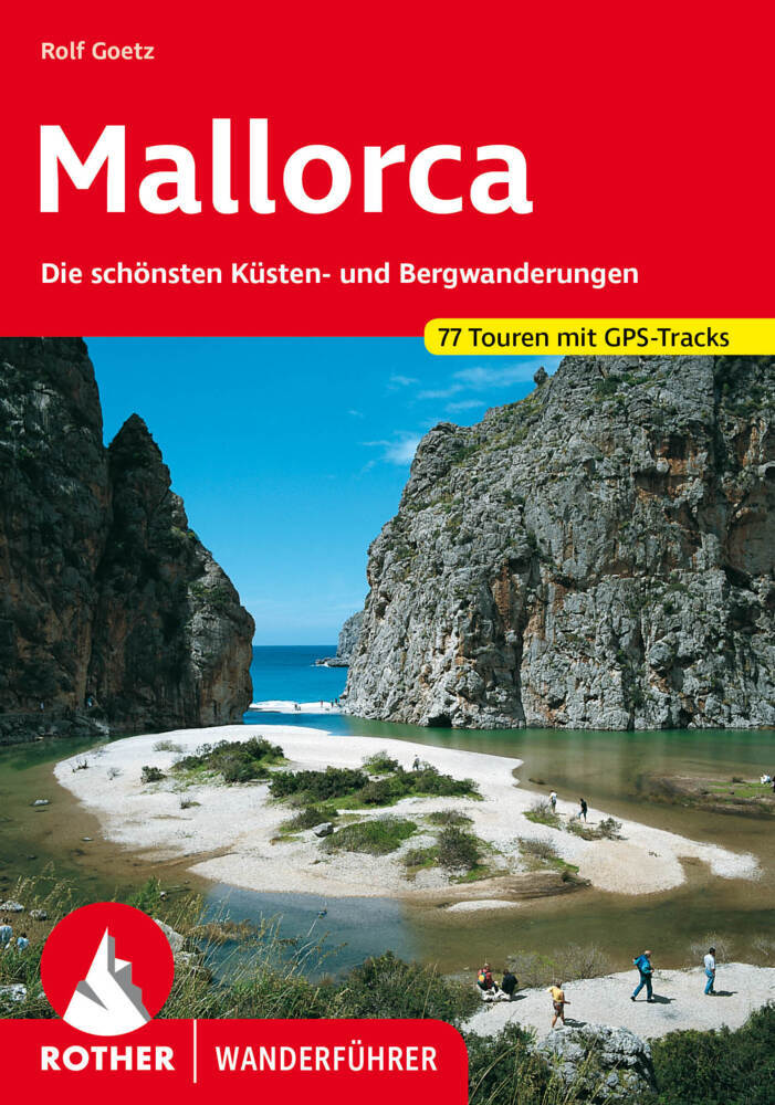
- Wandelgids Mallorca | Rother Bergverlag
- The finest coastal and montain walks. 70 walks. With GPS Data. Rother Wanderführer. 4., completely revised edition 2015. Read more
- Also available from:
- Stanfords, United Kingdom

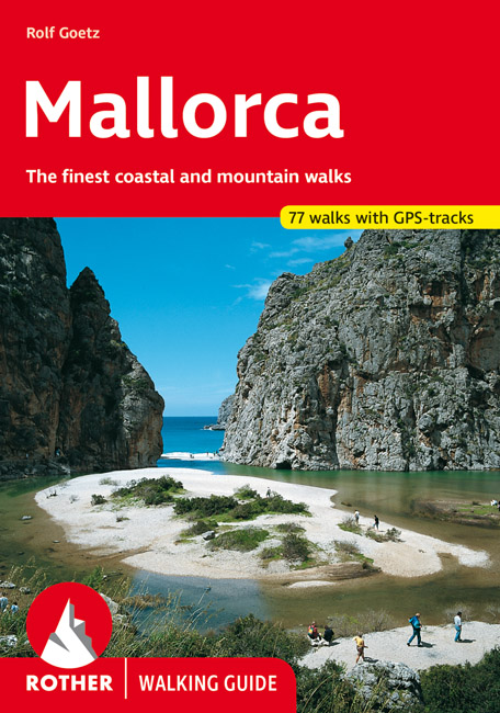
United Kingdom
2015
- Mallorca Rother Guide
- Rother’s handy little hiking book to Mallorca has 70 tour recommendations described in detail.Generously illustrated by photos and colour map excerpts (scale 1:50,000 and 1:75,000), there is also an overview map (at 1:500,000 scale) which is ideal for route planning. Thoroughly-researched introductory chapters with tips on interesting sights... Read more
Netherlands
2015
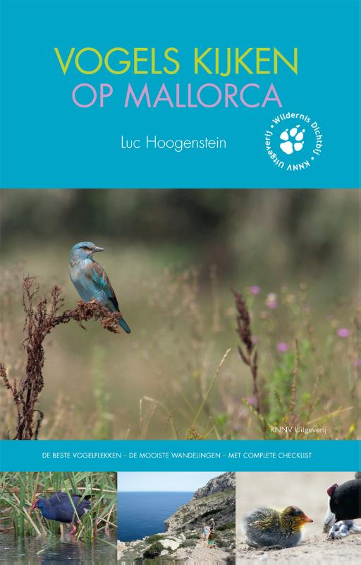
- Vogelgids - Reisgids Vogels kijken op Mallorca | KNNV Uitgeverij
- Een veelzijdige reisgids voor de avontuurlijke natuurliefhebber. Voor de oostkust van Spanje, in de Middellandse Zee, ligt het eiland Mallorca. Het is een waar paradijs voor badgasten en wandelaars, maar zeker ook voor vogelliefhebbers. Beschrijft de mooiste (vogel)plekken, wandelroutes en geeft praktische tips. Het landschap is afwisselend -... Read more
Kaarten
Netherlands
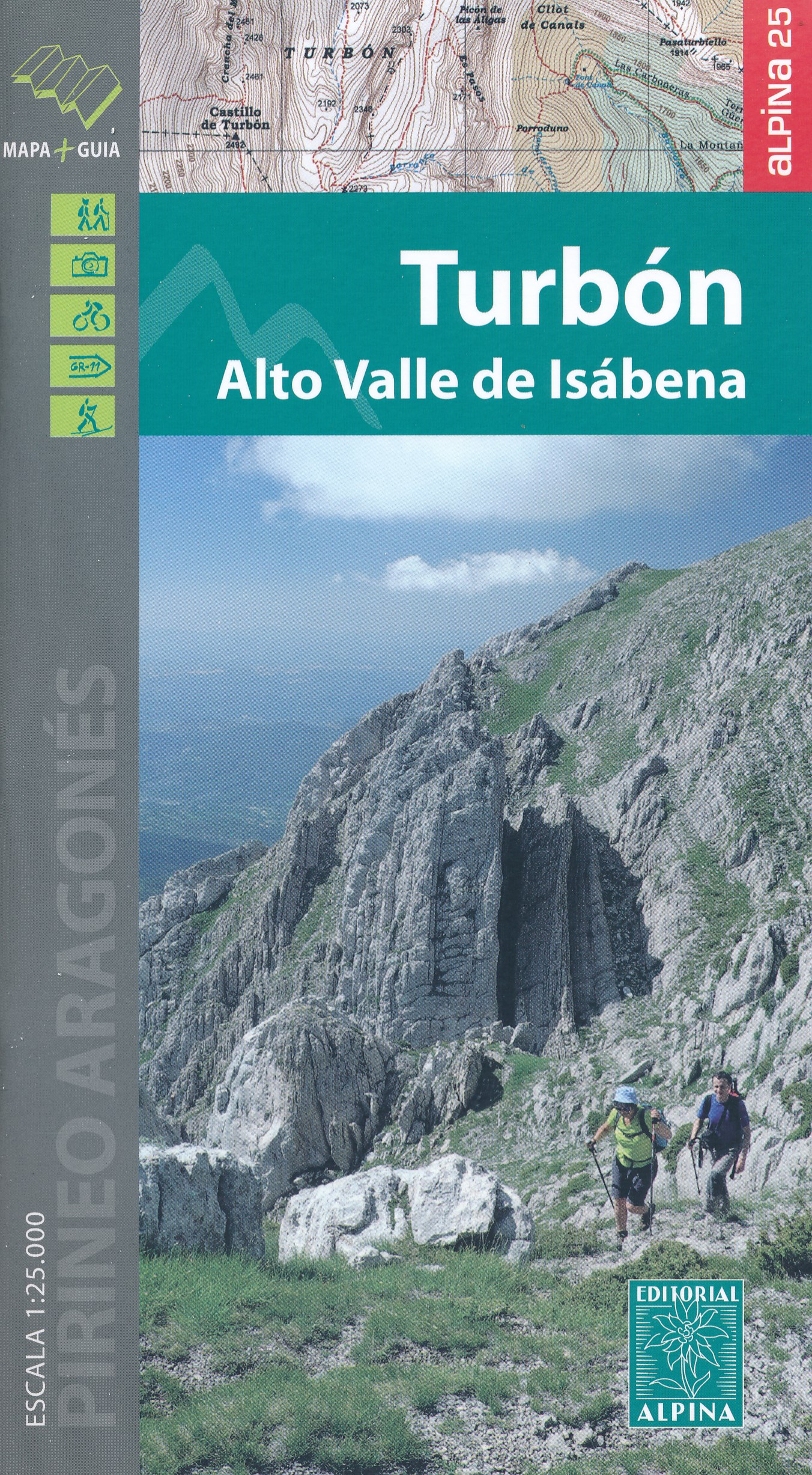
- Wandelkaart 17 Turbón, Alto Valle de Isábena | Editorial Alpina
- El Turbón - Alto Valle de Isábena in an extensive and very popular series of walking maps from Editorial Alpina covering the Pyrenees, Catalonia and other selected hiking areas in Spain, including Picos de Europa, Sierra Nevada and parts of Andalucía, Majorca, etc. Scales vary from 1:50,000 to 1:10,000, with the majority of the titles at... Read more
- Also available from:
- Stanfords, United Kingdom

United Kingdom
- El Turbón – Alto Valle de Isábena Editorial Alpina
- El Turbón - Alto Valle de Isábena in an extensive and very popular series of walking maps from Editorial Alpina covering the Pyrenees, Catalonia and other selected hiking areas in Spain, including Picos de Europa, Sierra Nevada and parts of Andalucía, Majorca, etc. Scales vary from 1:50,000 to 1:10,000, with the majority of the titles at... Read more
Netherlands
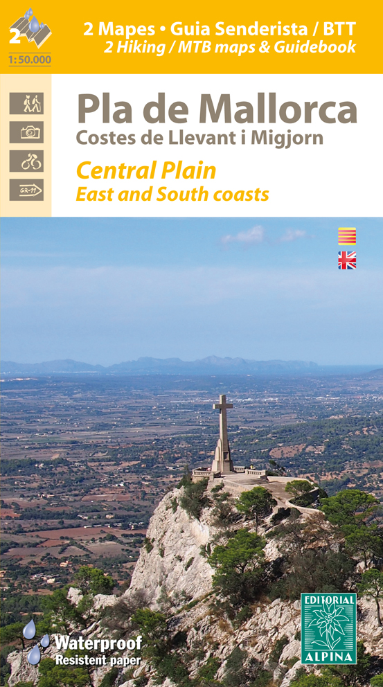
- Wandelkaart - Fietskaart 74 Pla de Mallorca | Editorial Alpina
- Mallorca’s central plain with the south-eastern and eastern coast on a waterproof and tear-resistant, double-sided, contoured and GPS compatible map at 1:50,000 from Editorial Alpina, highlighting hiking trails plus cycling and mountain biking routes, including 27 recommendations with English language descriptions in the accompanying... Read more
- Also available from:
- Stanfords, United Kingdom

United Kingdom
- Mallorca Central Plain - East and South Coasts Editorial Alpina
- Mallorca’s central plain with the south-eastern and eastern coast on a waterproof and tear-resistant, double-sided, contoured and GPS compatible map at 1:50,000 from Editorial Alpina, highlighting hiking trails plus cycling and mountain biking routes, including 27 recommendations with English language descriptions in the accompanying... Read more

Netherlands
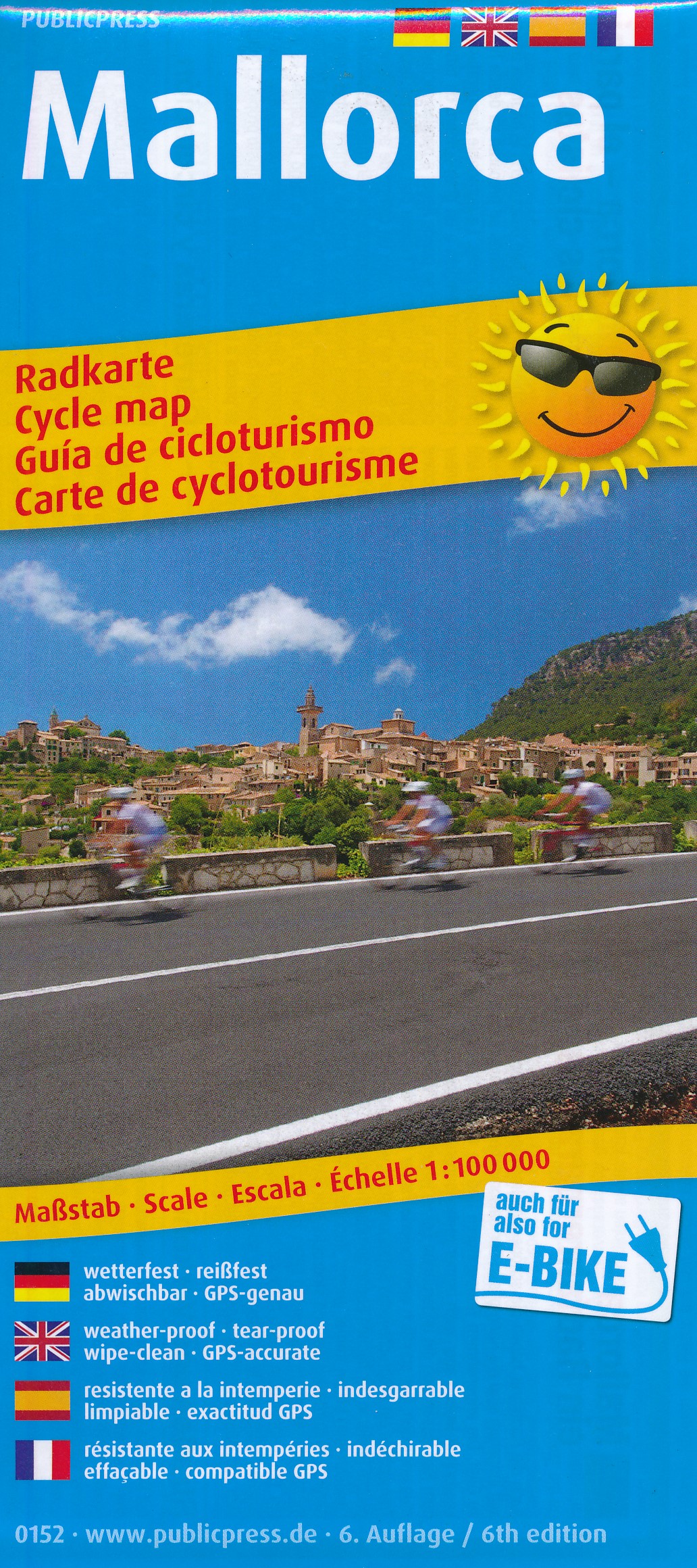
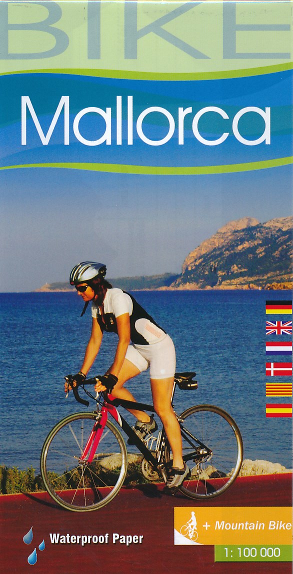
- Fietskaart 152 Mallorca | Publicpress
- Mallorca at 1:100,000 on a double-sided cycling map from Publicpress printed on sturdy, waterproof and tear-resistant plastic paper. An overprint highlights several cycling routes and circular tours.The map is double-sided, dividing the island east-west with a very generous overlap between the sides. Topography is indicated only by spot... Read more
- Also available from:
- Stanfords, United Kingdom
United Kingdom
- Mallorca Publicpress Cycle Touring 152
- Mallorca at 1:100,000 on a double-sided cycling map from Publicpress printed on sturdy, waterproof and tear-resistant plastic paper. An overprint highlights several cycling routes and circular tours.The map is double-sided, dividing the island east-west with a very generous overlap between the sides. Topography is indicated only by spot... Read more
- Also available from:
- Stanfords, United Kingdom

United Kingdom
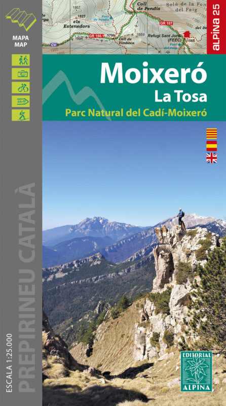
- Moixeró - La Tosa - Cadí-Moixeró Natural Park Editorial Alpina
- Moixeró - La Tosa in an extensive and very popular series of walking maps from Editorial Alpina covering the Pyrenees, Catalonia and other selected hiking areas in Spain, including Picos de Europa, Sierra Nevada and parts of Andalucía, Majorca, etc. Scales vary from 1:50,000 to 1:10,000, with the majority of the titles at 1:25,000. The maps... Read more
Netherlands
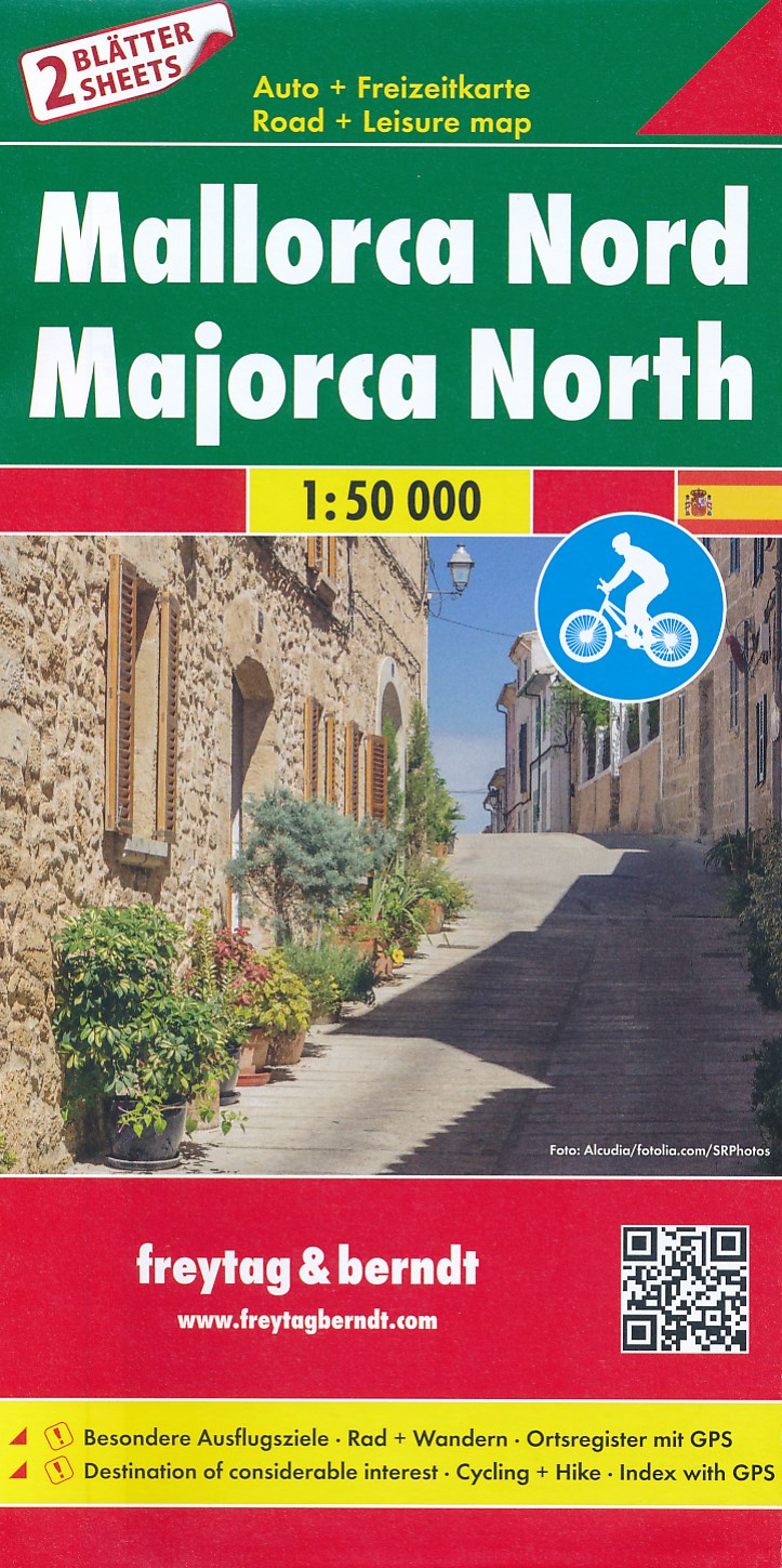
- Fietskaart - Wegenkaart - landkaart Mallorca Noord + Zuid | Freytag & Berndt
- Majorca at 1:50,000 in a set of two double-sided, contoured maps from Freytag & Berndt, with highlighting for scenic or tourist roads and recommended cycling routes, plus a booklet with a GPS-annotated index, a street plan of central Palma, and descriptions of the island’s best sights, the GR221 hiking trail, 10 cycling routes and four... Read more
- Also available from:
- Stanfords, United Kingdom

United Kingdom
- Mallorca F&B 2-Map Set
- Majorca at 1:50,000 in a set of two double-sided, contoured maps from Freytag & Berndt, with highlighting for scenic or tourist roads and recommended cycling routes, plus a booklet with a GPS-annotated index, a street plan of central Palma, and descriptions of the island’s best sights, the GR221 hiking trail, 10 cycling routes and four... Read more
Netherlands
- Fietskaart 75 Bike Mallorca | Editorial Alpina
- Mallorca at 1:100,000 on a double-sided cycling map from Editorial Alpina printed on light, waterproof and tear-resistant plastic paper. Roads are classified according to density of traffic and six route profiles are included.The map is double-sided, dividing the island east-west with a small overlap between the sides. Topography is shown by... Read more
- Also available from:
- Stanfords, United Kingdom

United Kingdom
- Mallorca Editorial Alpina Cycling Map
- Mallorca at 1:100,000 on a double-sided cycling map from Editorial Alpina printed on light, waterproof and tear-resistant plastic paper. Roads are classified according to density of traffic and six route profiles are included.The map is double-sided, dividing the island east-west with a small overlap between the sides. Topography is shown by... Read more
Netherlands
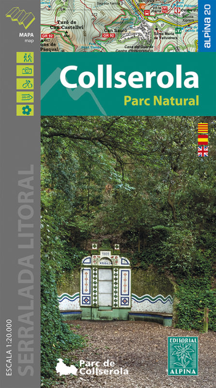
- Wandelkaart 61 Serra de Collserola | Editorial Alpina
- Collserola Natural Park in an extensive and very popular series of walking maps from Editorial Alpina covering the Pyrenees, Catalonia and other selected hiking areas in Spain, including Picos de Europa, Sierra Nevada and parts of Andalucía, Majorca, etc. Scales vary from 1:50,000 to 1:10,000, with the majority of the titles at 1:25,000. The... Read more
- Also available from:
- Stanfords, United Kingdom

United Kingdom
- Collserola Parc Natural Editorial Alpina
- Collserola Natural Park in an extensive and very popular series of walking maps from Editorial Alpina covering the Pyrenees, Catalonia and other selected hiking areas in Spain, including Picos de Europa, Sierra Nevada and parts of Andalucía, Majorca, etc. Scales vary from 1:50,000 to 1:10,000, with the majority of the titles at 1:25,000. The... Read more
Netherlands
2022
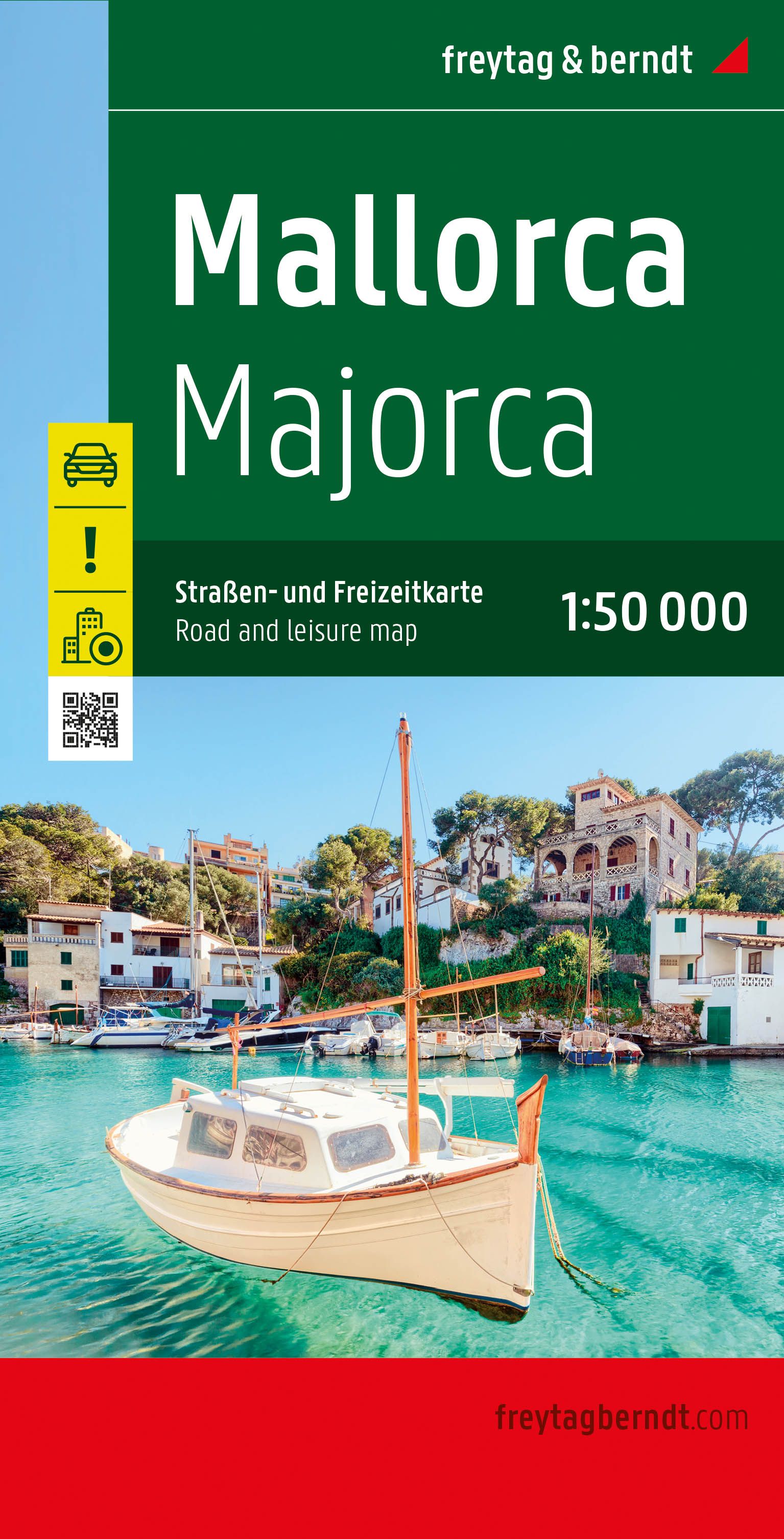
- Wegenkaart - landkaart Mallorca | Freytag & Berndt
- Majorca at 1:50,000 on a large, double-sided, contoured map from Freytag & Berndt, with highlighting for scenic roads and tourist routes, plus a booklet with a GPS-annotated index, street plan of central Palma, and multilingual descriptions of the island’s best sights.Topography is shown by contours at 100m intervals, with numerous spot height,... Read more
- Also available from:
- Stanfords, United Kingdom

United Kingdom
2022
- Mallorca F&B Road and Leisure Map
- Majorca at 1:50,000 on a large, double-sided, contoured map from Freytag & Berndt, with highlighting for scenic roads and tourist routes, plus a booklet with a GPS-annotated index, street plan of central Palma, and multilingual descriptions of the island’s best sights.Topography is shown by contours at 100m intervals, with numerous spot height,... Read more
Netherlands
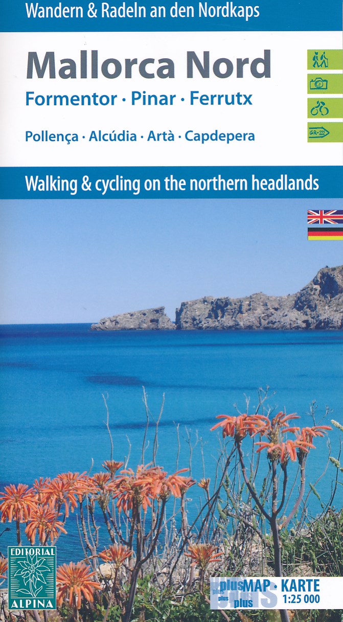
- Wandelkaart - Fietskaart 72 Noord Mallorca | Editorial Alpina
- Mallorca North Walking & Cycling Map & Guide set from Editorial Alpina, with a double-sided, contoured and GPS compatible map at 1:25,000, plus a booklet with English language descriptions of 90 hiking routes from various locations.The map covers two areas on the north-eastern coast of Mallorca: one side Cap de Formentor with Cap des Pinar... Read more
- Also available from:
- Stanfords, United Kingdom

United Kingdom
- Mallorca North Walking & Cycling Map & Guide Editorial Alpina
- Mallorca North Walking & Cycling Map & Guide set from Editorial Alpina, with a double-sided, contoured and GPS compatible map at 1:25,000, plus a booklet with English language descriptions of 90 hiking routes from various locations.The map covers two areas on the north-eastern coast of Mallorca: one side Cap de Formentor with Cap des Pinar... Read more

Netherlands
- Wandelkaart 55 Montseny Parc Natural | Editorial Alpina
- Montseny in an extensive and very popular series of walking maps from Editorial Alpina covering the Pyrenees, Catalonia and other selected hiking areas in Spain, including Picos de Europa, Sierra Nevada and parts of Andalucía, Majorca, etc. Scales vary from 1:50,000 to 1:10,000, with the majority of the titles at 1:25,000. The maps have... Read more
- Also available from:
- Stanfords, United Kingdom

United Kingdom
- Montseny NP - Turo de l`Home - Les Agudas - Matagalls - la Calma Editorial Alpina 2-Map Set
- Montseny in an extensive and very popular series of walking maps from Editorial Alpina covering the Pyrenees, Catalonia and other selected hiking areas in Spain, including Picos de Europa, Sierra Nevada and parts of Andalucía, Majorca, etc. Scales vary from 1:50,000 to 1:10,000, with the majority of the titles at 1:25,000. The maps have... Read more
Netherlands
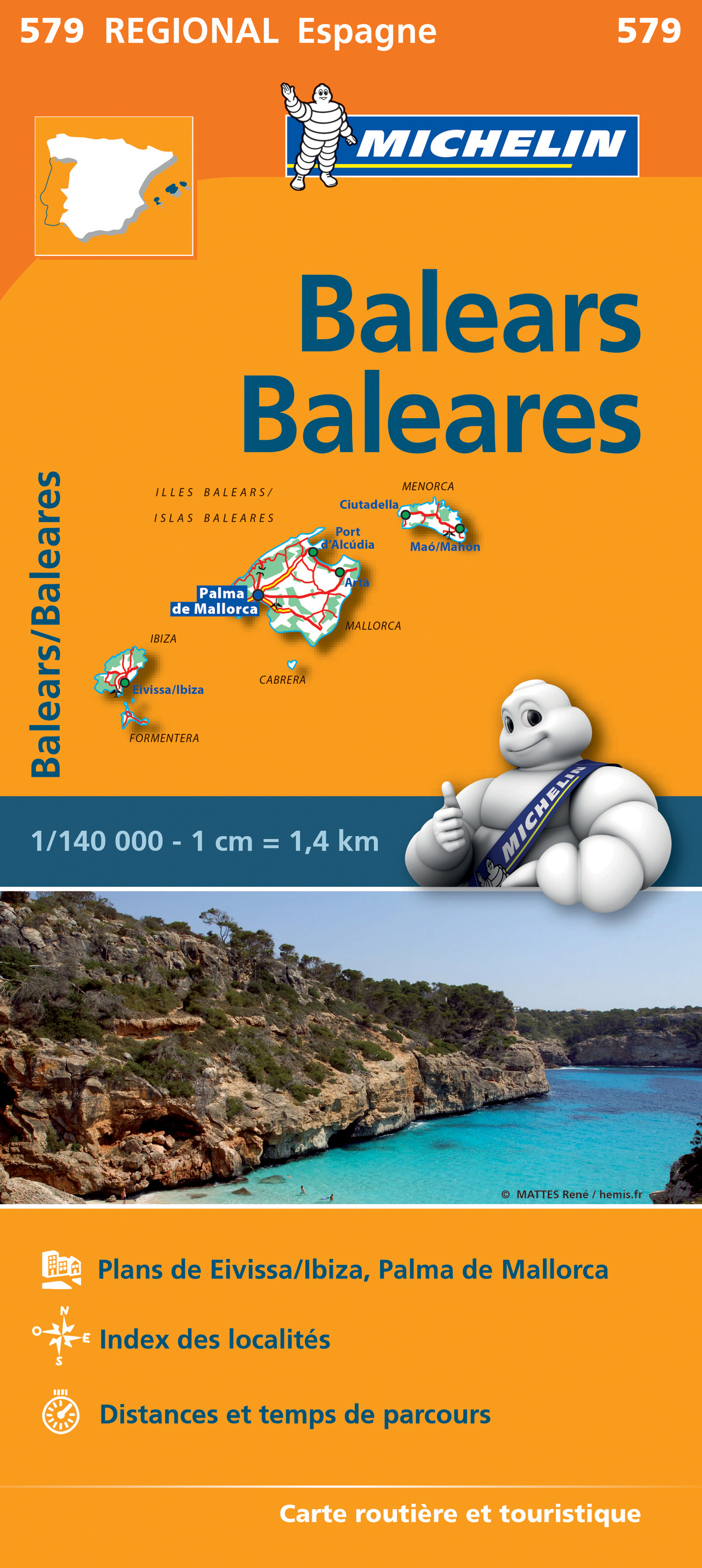
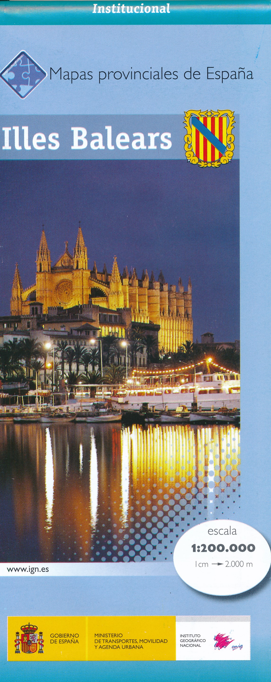
- Wegenkaart - landkaart Mapa Provincial Illes Balears - Balearen | CNIG - Instituto Geográfico Nacional
- Contoured, GPS-compatible, indexed road map at 1:200,000 from CNIG - Spain’s civilian survey organization, with exceptionally informative presentation of the landscape and highlighting for facilities and places of interest including campsites and paradors.Maps in CNIG’s 200K Provincial Series provide an excellent picture the topography through... Read more
- Also available from:
- Stanfords, United Kingdom

United Kingdom
- Balearic Islands Province 200K CNIG Map No. 8
- Contoured, GPS-compatible, indexed road map at 1:200,000 from CNIG - Spain’s civilian survey organization, with exceptionally informative presentation of the landscape and highlighting for facilities and places of interest including campsites and paradors.Maps in CNIG’s 200K Provincial Series provide an excellent picture the topography through... Read more
Netherlands
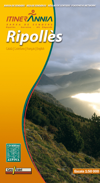
- Wandelkaart Ripolles | Editorial Alpina
- Zeer gedetailleerde wandelkaart van een klein deel van de Spaanse Pyreneeen. Met ingetekende wandelroutes en andere informatie. Uitstekende kaart. Met symbolen voor campings, hutten. Op de topografische wandelkaart worden o.a. berghutten, campings aangeduid en hoogtelijnen, ingetekende wandelroutes en de GR paden (doorgaande... Read more
- Also available from:
- Stanfords, United Kingdom

United Kingdom
- Ripollès Editorial Alpina
- Ripollès in an extensive and very popular series of walking maps from Editorial Alpina covering the Pyrenees, Catalonia and other selected hiking areas in Spain, including Picos de Europa, Sierra Nevada and parts of Andalucía, Majorca, etc. Scales vary from 1:50,000 to 1:10,000, with the majority of the titles at 1:25,000. The maps have... Read more
Netherlands
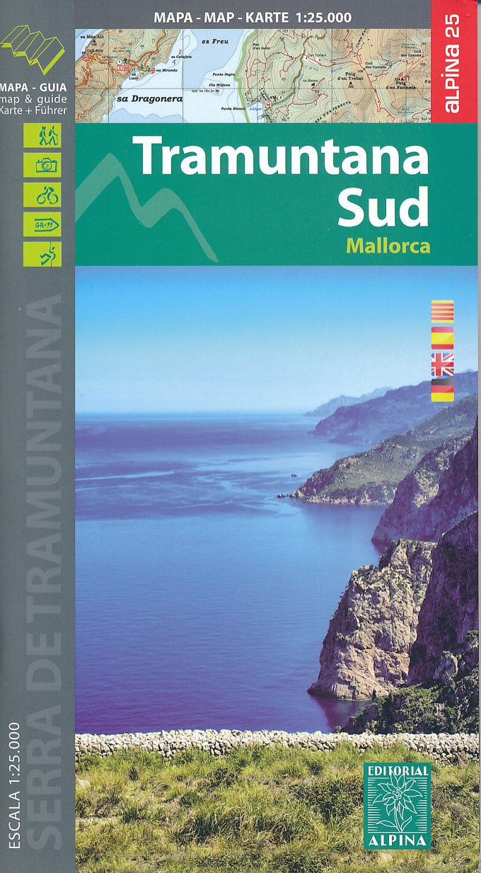
- Wandelkaart 66 Tramuntana Zuid - Mallorca | Editorial Alpina
- Zeer gedetailleerde wandelkaart van een deel van de Tramuntana op Mallorca. Met ingetekende wandelroutes en andere informatie. uitstekende kaart. Met symbolen voor campings, hutten. Let op: deze uitgever is traag met het vernieuwen van kaarten; het kan zo maar zijn dat een bepaalde kaart gedurende langere tijd niet beschikbaar is. Majorca:... Read more
- Also available from:
- Stanfords, United Kingdom

United Kingdom
- Mallorca - Tramuntana South Editorial Alpina
- The southern part of Mallorca’s Serra de Tramuntana mountains on a contoured and GPS-compatible map at 1:25,000 from Editorial Alpina, highlighting numerous local hiking trails and the course of the GR221 long-distance trail, climbing and canyoning sites, refuges and campsites, etc. Accompanying booklet includes English-language descriptions of... Read more