
GR10 - Traversée des Pyrénées
Beschrijving
- Name GR10 - Traversée des Pyrénées (GR10)
- Lengte van pad 866 km, 538 mijl
- Lengte in dagen 58 dagen
- Start van pad Hendaye
- Einde van pad Banyuls-sur-Mer
- Traildino graad SW, Inspannende wandeling, bergpad
- Huttentrektocht graad T2, Bergtocht


GR10, Hendaye (Atlantique) - Banyuls-sur-Mer (Mediterranean) through the Pyrenees, 866 km, 7 weeks
Few trails have the magic sound the GR10 has. Crossing the Pyrenees from west to east is a major accomplishment and a life-time experience. The GR20 in Corsica may be the most difficult of the Grand Randonnées; some passages are tricky indeed. The GR10 however, is hard to complete in one go. In the Pyrenees all the valleys are perpendicular to the main ridge, which means you have to go up and down, from one valley to the other. Therefore, thru-hiking the GR10 is hard.
There are those who believe in the Alps and others who believe in the Pyrenees. They rarely agree. The Pyrenees are greener, softer, lonesome, the proponents would advocate. Okay, but you get soaked all summer, the opponents would argue.
The Pyrenees are build from solid granite and some limestone in the west. You will find out yourself when scrambling these large boulders, hurting your knees with too large steps to take. Ice has had a prominent influence - although nowadays barely a glacier is left: many beautifully situated lakes, large and small, ornament the high altitudes.
Another feature are the dense forests the hiker crosses. In them, dead villages are quit common. Once, large populations lived here. But they left. With them sheep flocks and brown bears. Bears have been reintroduced, but with mixed success and support.
Hiking the path is facilitated by the many Gîtes d'Étappe in the small villages. Often, small shops still cater for the necessary provisions. Many cabanes, or bothies, still survive. Do not expect any luxury however, though company from mice is common. Tourism boomed in many parts, especially the Nature Parks, but is completely absent elsewhere.
Note the Pyrenees have many smaller, often circular trails, or variants to the GR10, often no less attractive. Note also that an even harder trail exists: the Haute Randonnée Pyrénéenne, following the main ridge. This HRP requires some mountaineering skills and can be undertaken from july onwards. The GR10 is by and large safe. On the Spanish side the GR11 explores some of the better parts of these mountains. The Spanish side gets much less rain. On the other side, the trail here is probably harder than the French side.
Kaart


Links
Feiten
Verslagen
Gidsen en kaarten
Overnachting
Organisaties
Reisorganisaties
GPS
Anders
Boeken

Netherlands
2015
- Wandelgids 6543 Sentier vers Saint-Jacques-de-Compostelle via Vezelay : Périgueux - Roncevaux - GR654 | FFRP
- Guide FFRandonnée Sentier vers St-Jacques-de-Compostelle : Périgueux-Ronceveaux. GR 654. Voie de Vézelay vers Compostelle : suite de l'itinéraire décrit dans le topo-guide réf. 6542 'Sentier vers St-Jacques-de-Compostelle : Vézelay-Périgueux'.Passé le seuil du Périgord blanc,... Read more
Netherlands
2015
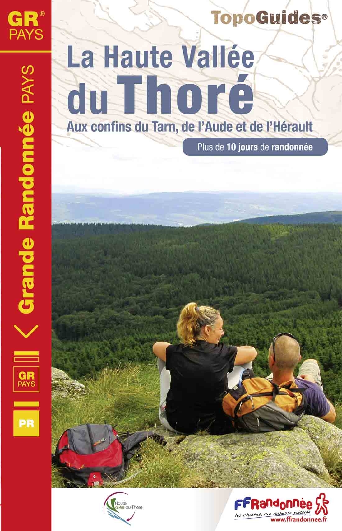
- Wandelgids 812 La Haute Vallée du Thoré | FFRP
- Fout lopen wordt op deze manier wel erg moeilijk. Met symbolen is weergegeven welke voorzieningen (openbaar vervoer / winkels / overnachtingen) er zijn langs of bij de route. Een nadeel is dat de daadwerkelijke adressen dan weer niet altijd genoemd worden. Alle gidsen bevatten een door ons toegevoegde uitgebreide frans nederlandse... Read more
- Also available from:
- Stanfords, United Kingdom

United Kingdom
2015
- GRP: La Haute Vallée du Thoré FFRP Topo-guide No. 812
- La Haute Vallée du Thoré, FFRP topoguide Ref. no. 812, covering an 82 km circuit in the Parc naturel régional du Haut-Languedoc, plus six day walks in the area. Current edition of this title was published in May 2015.ABOUT THE FFRP (Fédération française de la randonnée pédestre) TOPOGUIDES: published in a handy A5 paperback format, the guides... Read more

Netherlands
2014
- Wandelgids 901 Tours et traversées dans l'Ain GR9, GR9A, GR59 | FFRP
- Guide FFRandonnée Tours et Traversée dans l'ain. GR 59, 9, 9A. Etangs de la Dombes, monts et cluses du Revermont ou bocages de la Bresse. Plus de 50 jours de randonnée.Depuis les Monts du Jura, du Revermont ou du Bugey, ces itinéraires en boucle ou en ligne offrent aux randonneurs des vues imprenables. voici à l'est le Mont Blanc et les... Read more
Netherlands
2015
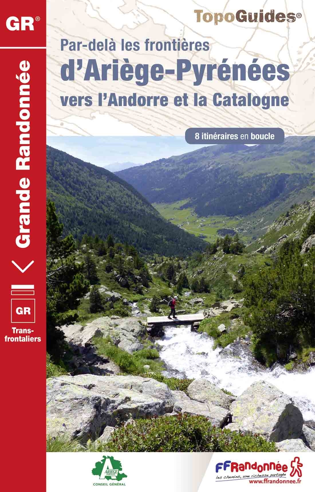
- Wandelgids 1098 Par dela les Frontieres d' Ariège - Pyrenees | FFRP
- Franstalige wandelgids. Uitstekende beschrijving met gedetailleerd kaartmateriaal (topografisch, IGN) en veel praktische informatie over zwaarte, hoogte en hutten. Bijna onmisbaar voor het lopen van deze route. In andere beschrijvingen zijn geen goede kaarten bijgevoegd! Wij leveren er een beknopte Frans-Nederlandse woordenlijst bij. Dans le... Read more
Netherlands
2012
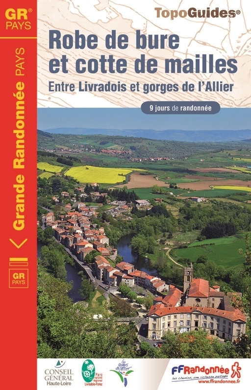
- Wandelgids 4303 Robe de bure et cotte de mailles | FFRP
- Guide FFRandonnée Robe de bure et cotte de mailles - 4303 - GR Pays, 163 km de sentiers GR 'Robe de bure et cotte de maille'… un intitulé pour le moins énigmatique pour un GR® de Pays ! Lieux de culte - la bure - et châteaux - la cotte de maille - tels sont les édifices que cette boucle de 9 jours vous invite à découvrir dans cette moitié... Read more

Netherlands
2014
- Wandelgids - Pelgrimsroute 6531 Sentier vers Saint-Jacques-de-Compostelle : Montgenèvre - Arles GR653D | FFRP
- Guide FFRandonnée Sentier vers Saint-Jacques-de-Compostelle : Montgenèvre - Arles - GR 653D - 459 km de sentiers GR. La Voie d'Arles. Un chemin incontournable, à la fois itinéraire jacquaire et ancienne voie romaine, qui vous fera découvrir 4 départements aux paysages contrastés et au... Read more

Netherlands
2023

Netherlands
2013
- Wandelgids 1451 La Via Francigena à travers le Pas-de-Calais GR145 | FFRP
- Guide FFRandonnée La Via Francigena à travers le Pas-de-Calais - GR 145 - 245 Km de sentiers GR.Ancienne voie de pèlerinage, au même titre que les chemins de Saint-Jacques ou du Mont-Saint-Michel, ce topo-guide bilingue français/anglais (une grande première !) comprend les 245 premiers kilomètres français de l'itinéraire ancestral reliant... Read more
Netherlands
2015
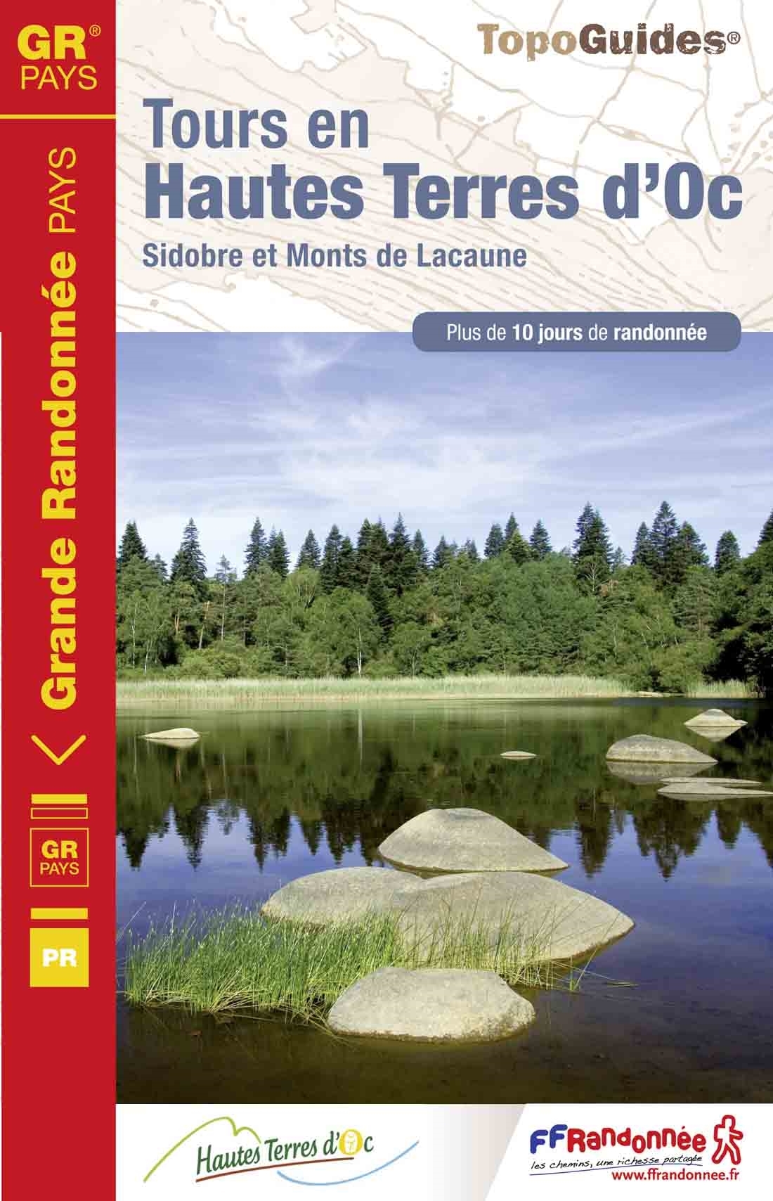
- Wandelgids 811 Tours en Hautes Terres d'Oc | FFRP
- Uitstekende routegids met gedetailleerde kaarten en een routebeschrijving. Fout lopen wordt op deze manier wel erg moeilijk. Met symbolen is weergegeven welke voorzieningen (openbaar vervoer / winkels / overnachtingen) er zijn langs of bij de route. Een nadeel is dat de daadwerkelijke adressen dan weer niet altijd genoemd worden. Alle gidsen... Read more
- Also available from:
- Stanfords, United Kingdom

United Kingdom
2015
- GR de Pays: Tours en Hautes Terres d`Oc FFRP Topo-guide No. 811
- Tours en Hautes Terres d`Oc, FFRP topoguide Ref. No. 811, covering a 230km circular route in the Parc Naturel Régional du Haut-Languedoc, with additional descriptions of 14 day walks in the region. Current edition of this title was published in July 2015.ABOUT THE FFRP (Fédération française de la randonnée pédestre) TOPOGUIDES: published in a... Read more
Netherlands
2023
Netherlands
2013
- Wandelgids 6551 Sentier vers Saint-Jacques-de-Compostela: Brussel - Parijs -Tours GR655 | FFRP
- Guide FFRandonnée Sentier vers Saint-Jacques-de-Compostelle : Bruxelles-Paris-Tours - 6551.La via Turonensis (ou voie de Tours/voie de Paris) est l'un des quatre chemins de France du pèlerinage de Saint-Jacques-de-Compostelle, le plus au nord. Voie la plus sereine et la plus ancienne, elle était historiquement la plus fréquentée.Au départ de... Read more
Netherlands
2020
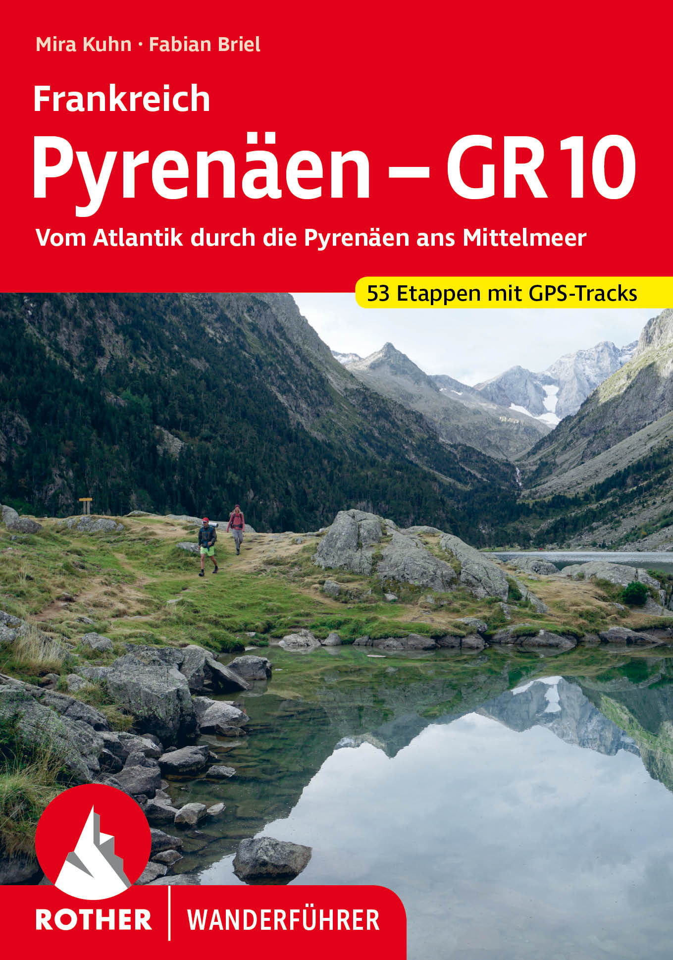
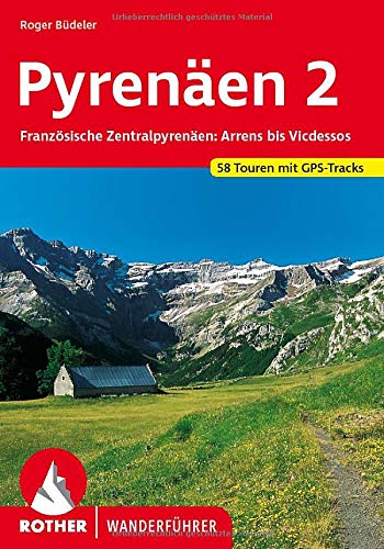
- Wandelgids 262 Pyrenäen 2 | Rother Bergverlag
- Uitstekende wandelgids met een groot aantal dagtochten in dal en hooggebergte. Met praktische informatie en beperkt kaartmateriaal! Wandelingen in verschillende zwaarte weergegeven in rood/blauw/zwart. Weithin bekannte und berühmte Täler, Bergmassive und Gipfel prägen die französischen Zentralpyrenäen zwischen dem Val d'Azun im Westen und... Read more
Kaarten

Netherlands
2021

Netherlands
- Wandelkaart Pass'Aran - Couserans - Aran | Editorial Alpina
- A cross-border circuit in the Pyrenees linking the Couserans section of the GR10 in France with a route in the upper part of the Val d’Aran in Spain, presented by Editorial Alpina on a contoured and GPS compatible map at 1:25,000, accompanied by a booklet with stage-by-stage descriptions and contact details for refuges.The map has contours at... Read more

Netherlands
- Wandelkaart 08 Cerdagne Capcir | Rando Editions
- Uitstekende wandelkaart met veel toeristische informatie en bijzonder gedetailleerd. Wandelroute en hutten / campings zijn ingetekend, met hoogtelijnen. Andere dorpen op deze kaart: Ax les Thermes - Massif de l'Aston - Canillo - Soldeu - Mérens les Vals - Porté Puymorens - Mijanès - Puyvalador - Olette - Mont Louis - Font Romeu - Núria -... Read more

Netherlands
- Wandelkaart 05 Luchon | Rando Editions
- Uitstekende wandelkaart met veel toeristische informatie en bijzonder gedetailleerd. Wandelroute en hutten / campings zijn ingetekend, met hoogtelijnen. Andere dorpen op deze kaart: Col d'Aspin - Barbazan - Aspet - le Pla d'Adet - St. Lary Soulan - Val Louran - Col de Peyresourde - Bagnères de Luchon (Frankrijk - Pyreneeen). Carte topographique... Read more

Netherlands
- Wandelkaart 07 Haute Ariege | Rando Editions
- Itinéraires de rando, infos culturelles, touristiques et sportives, gîtes, refuges : toutes ces infos sont disponibles sur cette carte à cheval sur France et Espagne. Read more


Netherlands
- Wandelkaart 02 Pays Basque Est | Rando Editions
- Uitstekende wandelkaart met veel toeristische informatie en bijzonder gedetailleerd. Wandelroutes en GR paden en hutten / campings zijn ingetekend, met hoogtelijnen. Andere dorpen op deze kaart: Arrette - la Pierre St. Martin - St. Jean Pied de Port (Frankrijk - Pyreneeen) Versant français et espagnol : Barétous; Soule, Basse-Navarre, vallée... Read more

Netherlands
- Wandelkaart 11 Collioure-Cadaqués | Rando Editions
- Uitstekende wandelkaart met veel toeristische informatie en bijzonder gedetailleerd. Wandelroute en hutten / campings zijn ingetekend, met hoogtelijnen. Read more

Netherlands
- Wandelkaart 06 Couserans - Val D'aran | Rando Editions
- Uitstekende wandelkaart met veel toeristische informatie en bijzonder gedetailleerd. Wandelroute en hutten / campings zijn ingetekend, met hoogtelijnen. Andere dorpen op deze kaart: PN d'Aigües Tortes - St. Girons - Massat - Guzet Neige - Aulus les Bains (Frankrijk - Pyreneeen). GPS Compatible Read more

Netherlands
- Wandelkaart 04 Bigorre | Rando Editions
- Itinéraires de rando, infos culturelles, touristiques et sportives, gîtes, refuges : toutes ces infos sont disponibles sur cette carte à cheval sur France et Espagne. Read more


Netherlands
- Wandelkaart Trekking map Central Pyrenees - Pyreneeën | TerraQuest
- The central part of the French Pyrenees on a waterproof and tear-resistant, contoured and GPS compatible map at 1:50,000 from terraQuest, highlighting hiking trails, campsites and refuges, etc. The map is presented in a special format handy for conveniently viewing just small sections of it at one time.Coverage extends north to the towns... Read more
Netherlands
2016
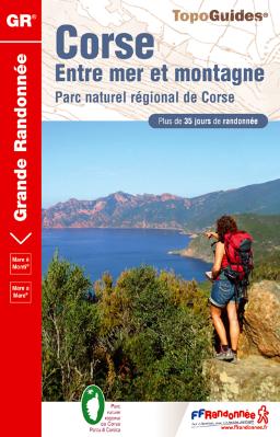
- Corse entre mer et montagne PNR
- Ces six itinéraires vont conduiront d'une côte à l'autre de la Corse (Mare a mare) ou vous feront longer le trait de côte en faisant des incursions dans la montagne toute proche (Mare e Monti). Moins exigeants que le GR&... Read more
- Also available from:
- Bol.com, Belgium
Belgium
2016
- Corse entre mer et montagne PNR
- Ces six itinéraires vont conduiront d'une côte à l'autre de la Corse (Mare a mare) ou vous feront longer le trait de côte en faisant des incursions dans la montagne toute proche (Mare e Monti). Moins exigeants que le GR&... Read more
Netherlands
2016
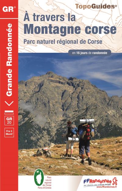
- Corse a travers la montagne GR20
- Des grandes plages de Balagne aux eaux bleues du Valinco, depuis Calenzana (nord-ouest) jusqu?à Conca (sud-est), le GR® 20 épouse le relief montagneux de la Corse et offre au randonneur averti un voyage initiatique au coeur d?une î... Read more
- Also available from:
- Bol.com, Belgium
Belgium
2016
- Corse a travers la montagne GR20
- Des grandes plages de Balagne aux eaux bleues du Valinco, depuis Calenzana (nord-ouest) jusqu?à Conca (sud-est), le GR® 20 épouse le relief montagneux de la Corse et offre au randonneur averti un voyage initiatique au coeur d?une î... Read more

United Kingdom
- Alpes du Sud
- Pyrénées Ouest map from the IGN at 1:200,000, with excellent presentation of the terrain through contours and vivid relief shading, plenty of names of topographic features, long-distance GR hiking routes, places of interest, etc. The map is designed to provide convenient coverage of the western and central part of the Pyrenees, extending across... Read more