
Montana
Beschrijving
Montana, a north country state bordering on Canada, has a mountainous west part, bordering on Idaho.
Here you will find the Continental Divide Trail (961 miles of it), the Great Western Trail, and the Pacific Northwest Trail.
Best for hiking is the Glacier National Park with alpine hiking and passes covered in snow until well into July.
There are major national forests in Montana, offering thousends of miles of spectacular hiking: Flathead National Forest, Lolo National Forest, Gallatin National Forest, Lewis and Clark national Forest, Beaverhead National Forest, Bitterroot National Forest, Kootenai National Forest, to mention the most important ones.
Kaart

Paden in deze landsdeel
Links
Feiten
Verslagen
Gidsen en kaarten
Overnachting
Organisaties
Reisorganisaties
GPS
Anders
Boeken
De Zwerver
Netherlands
Netherlands
- Vogelgids - Natuurgids Montana Wildlife | Waterford Press
- the Pocket Naturalist card is a pocket-sized, folding card which provides simplified, easy-to-use reference to what everyone should know about familiar plants, animals, and natural history. Maps are included to highlight prominent sanctuaries and outstanding natural attractions. Every card is laminated so that it is waterproof and practical for... Read more
Bol.com
Netherlands
Netherlands
- Frommer's Yellowstone and Grand Teton National Parks
- Frommer's guidebooks, unlike those of many of our competitors, are written by local experts (not outsiders)—like Elisabeth Kwak-Hefferan, a Montana resident, naturalist, and noted travel journalist. In this handy, pocket-size book, she'll help you sort through all the options, so you can tailor an adventure that's right for you.This guide... Read more
- Also available from:
- Bol.com, Belgium
Bol.com
Belgium
Belgium
- Frommer's Yellowstone and Grand Teton National Parks
- Frommer's guidebooks, unlike those of many of our competitors, are written by local experts (not outsiders)—like Elisabeth Kwak-Hefferan, a Montana resident, naturalist, and noted travel journalist. In this handy, pocket-size book, she'll help you sort through all the options, so you can tailor an adventure that's right for you.This guide... Read more

Bol.com
Netherlands
Netherlands
- Along Colorado's Continental Divide Trail
- Nature photographer John Fielder and writer M. John Fayhee combine their extraordinary talents in this stunning new coffee table book that beautifully showcases the wonders of Colorado's Continental Divide. A memorable mountain journey that readers will want to relive again and again. 175 color photos. Read more
- Also available from:
- Bol.com, Belgium
Bol.com
Belgium
Belgium
- Along Colorado's Continental Divide Trail
- Nature photographer John Fielder and writer M. John Fayhee combine their extraordinary talents in this stunning new coffee table book that beautifully showcases the wonders of Colorado's Continental Divide. A memorable mountain journey that readers will want to relive again and again. 175 color photos. Read more
Bol.com
Netherlands
Netherlands
- Continental Divide Trail Pocket Maps - Colorado
- Colorado1st Edition - December 15, 2014The Continental Divide Trail Pocket Map Series is a complete and concise set of topographic maps created withdigitized base maps covering every step of the 3,016 mile trail from Mexico to Canada.The most current data available! This reflects the recently located, official CDTThe land cover, hydrology and... Read more
- Also available from:
- Bol.com, Belgium
Bol.com
Belgium
Belgium
- Continental Divide Trail Pocket Maps - Colorado
- Colorado1st Edition - December 15, 2014The Continental Divide Trail Pocket Map Series is a complete and concise set of topographic maps created withdigitized base maps covering every step of the 3,016 mile trail from Mexico to Canada.The most current data available! This reflects the recently located, official CDTThe land cover, hydrology and... Read more
Bol.com
Netherlands
Netherlands
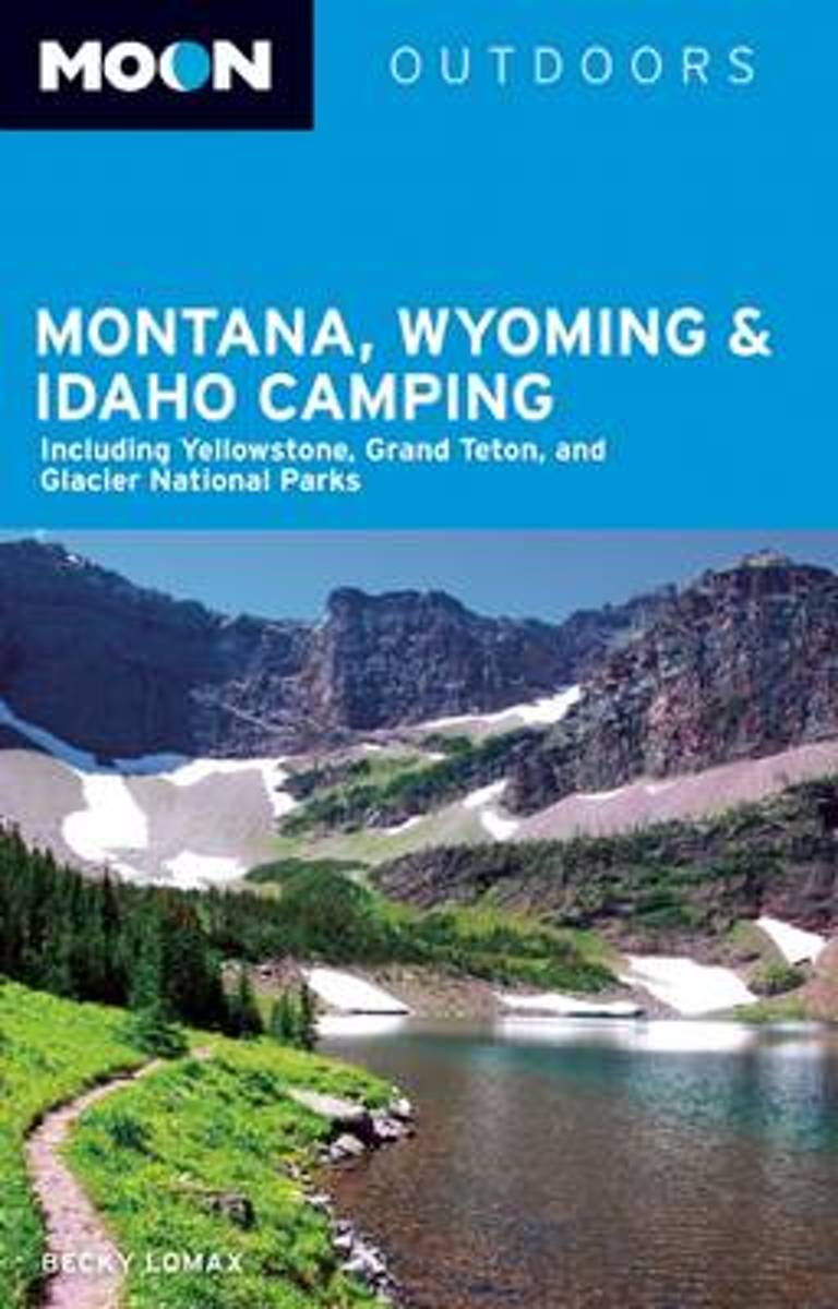
- Moon Montana, Wyoming & Idaho Camping (3rd ed)
- Outdoors writer-photographer Becky Lomax uses her experience as a skier, hiker, kayaker, and bicycler to capture the adventures of camping in Montana, Wyoming, and Idaho. Lomax provides insight on the picturesque Glacier National Park, the incredible wildlife of Northwest Montana, and the high winds that characterize the Rocky Mountain Front.... Read more
- Also available from:
- Bol.com, Belgium
Bol.com
Belgium
Belgium
- Moon Montana, Wyoming & Idaho Camping (3rd ed)
- Outdoors writer-photographer Becky Lomax uses her experience as a skier, hiker, kayaker, and bicycler to capture the adventures of camping in Montana, Wyoming, and Idaho. Lomax provides insight on the picturesque Glacier National Park, the incredible wildlife of Northwest Montana, and the high winds that characterize the Rocky Mountain Front.... Read more
Bol.com
Netherlands
Netherlands
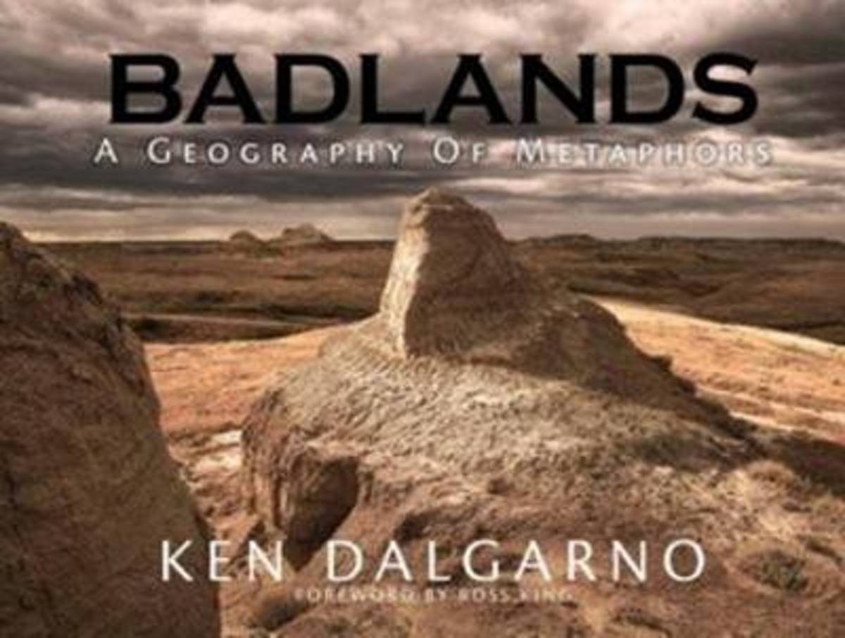
- Badlands
- Foreword by Ross King, New York Times bestselling author and winner of the Governor General's Award. There can be few places in the world where the visual impact of the landscape is as hauntingly captivating as the Badlands of the Northern Great Plains. Encompassing Alberta, Saskatchewan, North Dakota and Montana, these amazing regions... Read more
- Also available from:
- Bol.com, Belgium
Bol.com
Belgium
Belgium
- Badlands
- Foreword by Ross King, New York Times bestselling author and winner of the Governor General's Award. There can be few places in the world where the visual impact of the landscape is as hauntingly captivating as the Badlands of the Northern Great Plains. Encompassing Alberta, Saskatchewan, North Dakota and Montana, these amazing regions... Read more
Bol.com
Netherlands
Netherlands
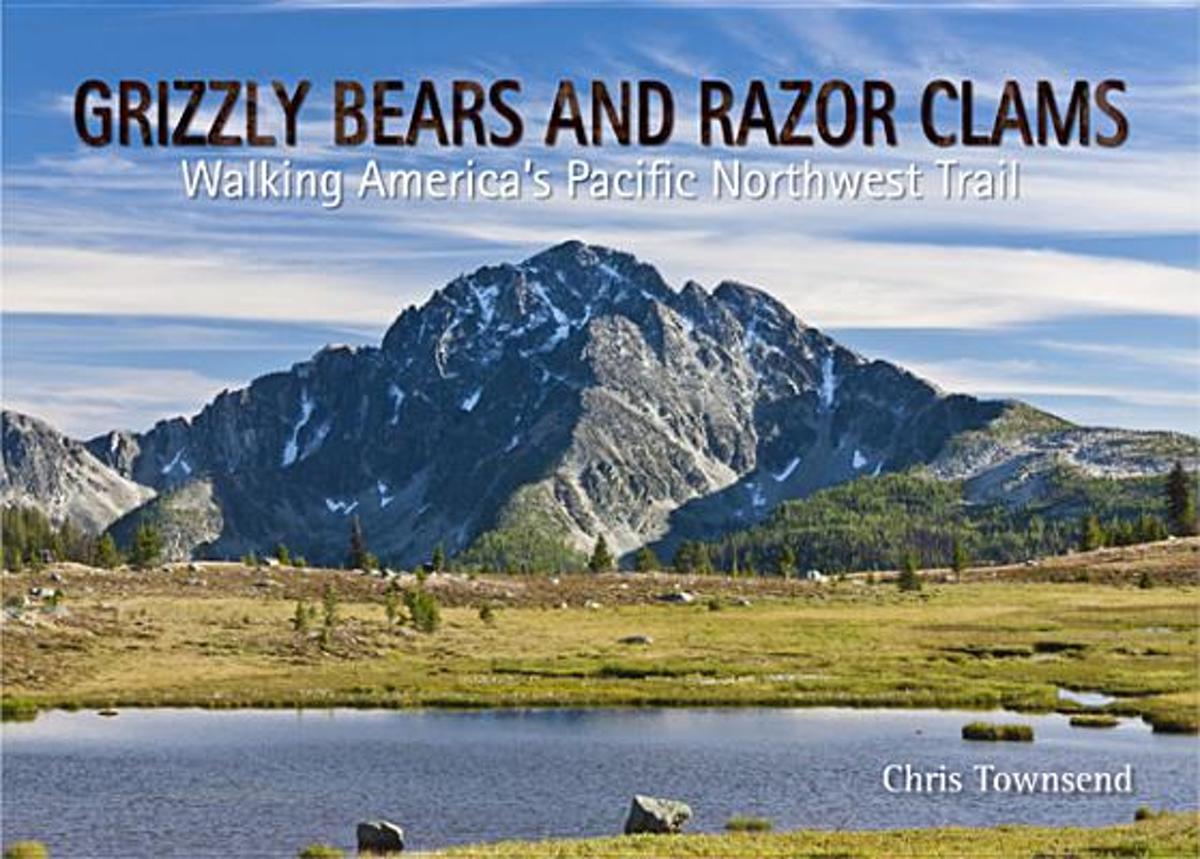
- Grizzly Bears and Razor Clams
- Grizzly Bears and Razor Clams tells the story of Chris Townsend's walk along the 1200 mile Pacific Northwest Trail, which runs for 1200 miles from the Rocky Mountains to the Pacific Ocean through the states of Montana, Idaho and Wyoming. This is a wilderness route which much challenging terrain and remote country inhabited by bears and wolves.... Read more
- Also available from:
- Bol.com, Belgium
Bol.com
Belgium
Belgium
- Grizzly Bears and Razor Clams
- Grizzly Bears and Razor Clams tells the story of Chris Townsend's walk along the 1200 mile Pacific Northwest Trail, which runs for 1200 miles from the Rocky Mountains to the Pacific Ocean through the states of Montana, Idaho and Wyoming. This is a wilderness route which much challenging terrain and remote country inhabited by bears and wolves.... Read more
Bol.com
Netherlands
Netherlands
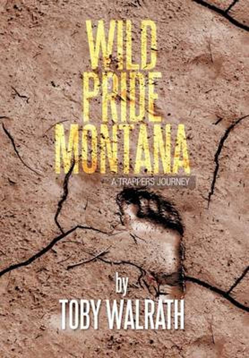
- Wild Pride Montana
- Fur trapping in North America began at the turn of the sixteenth century when rugged mountain men pushed ever westward in search of beaver. These entrepreneurs possessed an unmatched sense of adventure, a relentless drive to succeed, and an uncanny ability to survive. The intimacy between man and nature discovered by these early explorers has... Read more
- Also available from:
- Bol.com, Belgium
Bol.com
Belgium
Belgium
- Wild Pride Montana
- Fur trapping in North America began at the turn of the sixteenth century when rugged mountain men pushed ever westward in search of beaver. These entrepreneurs possessed an unmatched sense of adventure, a relentless drive to succeed, and an uncanny ability to survive. The intimacy between man and nature discovered by these early explorers has... Read more
Bol.com
Netherlands
Netherlands
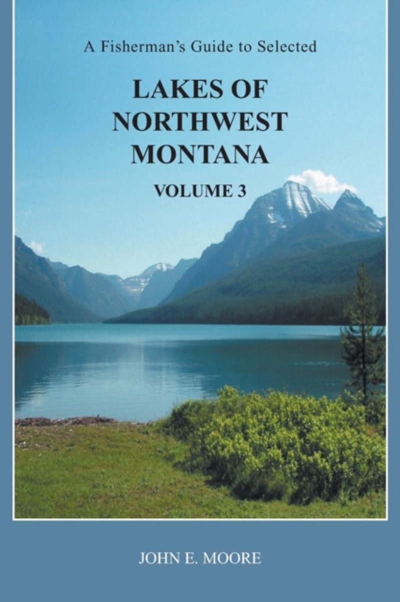
- A Fisherman's Guide to Selected Lakes of Northwest Montana, Volume 3
- This book is a third volume, containing information on 100 additional lakes in Flathead, Lake, Lincoln, Mineral, Missoula, Powell and Sanders counties of northwest Montana. They range from lowland lakes to alpine lakes. Many can be driven to, while many others require a hike. Most fishing guides offer very limited information on a large number... Read more
- Also available from:
- Bol.com, Belgium
Bol.com
Belgium
Belgium
- A Fisherman's Guide to Selected Lakes of Northwest Montana, Volume 3
- This book is a third volume, containing information on 100 additional lakes in Flathead, Lake, Lincoln, Mineral, Missoula, Powell and Sanders counties of northwest Montana. They range from lowland lakes to alpine lakes. Many can be driven to, while many others require a hike. Most fishing guides offer very limited information on a large number... Read more
Bol.com
Netherlands
Netherlands
- Montana State Travel Journal, Motto
- Here s the Dragon Dragon Travel Journal deal.You wander the world having adventures, and such. Dragon Dragon offers you 200 pages to document your travels, and such. That s it. Simple. Beautiful. True.To help keep things organized, we ve given each journal a unique continent, country or city name.Wherever you go in this life, a Dragon Dragon... Read more
- Also available from:
- Bol.com, Belgium
Bol.com
Belgium
Belgium
- Montana State Travel Journal, Motto
- Here s the Dragon Dragon Travel Journal deal.You wander the world having adventures, and such. Dragon Dragon offers you 200 pages to document your travels, and such. That s it. Simple. Beautiful. True.To help keep things organized, we ve given each journal a unique continent, country or city name.Wherever you go in this life, a Dragon Dragon... Read more
Bol.com
Netherlands
Netherlands
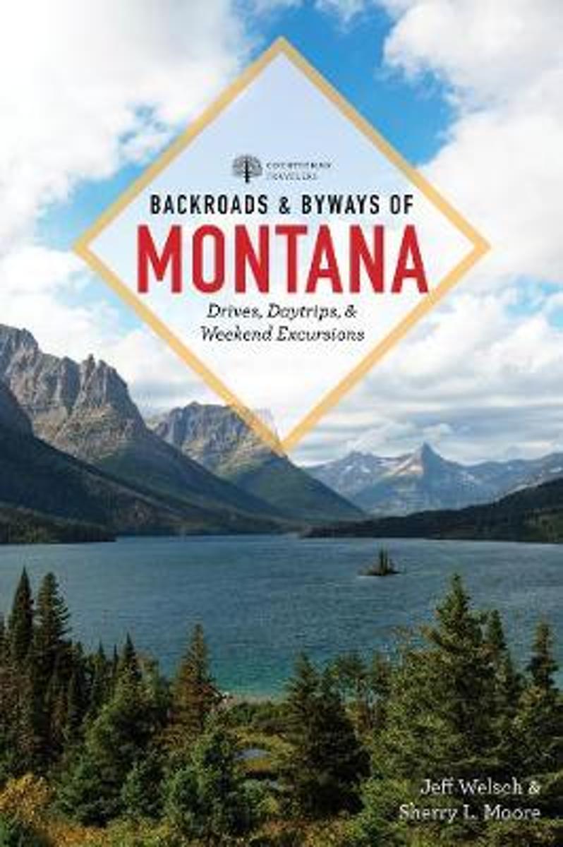
- Backroads & Byways of Montana
- With natives as your guides, Backroads & Byways leads you down the road less traveledMontana attracts visitors from around the world who come to see the state's magnificent mountains, glistening rivers, vast horizons, and cowboy culture. With *Backroads & Byways of Montana *as your guide, you'll see and experience it all. Explore some of... Read more
- Also available from:
- Bol.com, Belgium
Bol.com
Belgium
Belgium
- Backroads & Byways of Montana
- With natives as your guides, Backroads & Byways leads you down the road less traveledMontana attracts visitors from around the world who come to see the state's magnificent mountains, glistening rivers, vast horizons, and cowboy culture. With *Backroads & Byways of Montana *as your guide, you'll see and experience it all. Explore some of... Read more
Bol.com
Netherlands
Netherlands
- American Texture
- American Texture is a national aerial photography work, now the author’s 12th book. Instead of focusing on specific regional subjects as in the past, Garrett Fisher has included images acquired spanning a multi-year period while working on a variety of projects, bringing together a work that covers from the Atlantic Ocean to the glaciers... Read more
- Also available from:
- Bol.com, Belgium
Bol.com
Belgium
Belgium
- American Texture
- American Texture is a national aerial photography work, now the author’s 12th book. Instead of focusing on specific regional subjects as in the past, Garrett Fisher has included images acquired spanning a multi-year period while working on a variety of projects, bringing together a work that covers from the Atlantic Ocean to the glaciers... Read more
Bol.com
Netherlands
Netherlands
- Best Hikes with Dogs Inland Northwest
- CLICK HERE to download two free hikes from Best Hikes with Dogs Inland Northwest * Trails that are hazard-free and easy on the paws * On most trails, no leashes required and no crowds to dodge * Guidebook to 75 trails covering eastern Washington, Idaho panhandle, and northwest Montana; plus Okanagan Highlands and BC Kootenay (Canada) Although... Read more
- Also available from:
- Bol.com, Belgium
Bol.com
Belgium
Belgium
- Best Hikes with Dogs Inland Northwest
- CLICK HERE to download two free hikes from Best Hikes with Dogs Inland Northwest * Trails that are hazard-free and easy on the paws * On most trails, no leashes required and no crowds to dodge * Guidebook to 75 trails covering eastern Washington, Idaho panhandle, and northwest Montana; plus Okanagan Highlands and BC Kootenay (Canada) Although... Read more
Bol.com
Netherlands
Netherlands
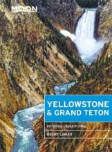
- Moon Yellowstone & Grand Teton (Eighth Edition)
- Find Your Adventure with Moon Travel Guides!Forge your way through forests, across mountain peaks, past geysers, and more with Moon Yellowstone & Grand Teton. Inside you'll find:Itineraries for every timeline, budget, and travel style, ranging from one day in each national park to a week-long road trip covering bothThe top activities and unique... Read more
- Also available from:
- Bol.com, Belgium
Bol.com
Belgium
Belgium
- Moon Yellowstone & Grand Teton (Eighth Edition)
- Find Your Adventure with Moon Travel Guides!Forge your way through forests, across mountain peaks, past geysers, and more with Moon Yellowstone & Grand Teton. Inside you'll find:Itineraries for every timeline, budget, and travel style, ranging from one day in each national park to a week-long road trip covering bothThe top activities and unique... Read more
Kaarten
De Zwerver
Netherlands
Netherlands
- Wandelkaart - Topografische kaart 1286 St.Leonard | Swisstopo
- Zeer gedetailleerde wandelkaart van een deel van Zwitserland. De topografische details van deze kaarten zijn onovertroffen; de werkelijkheid is perfect weergegeven op deze kaart van uitzonderlijk hoog niveau. Ze zijn geschikt voor alle soorten gebruik: voor eenvoudige wandeltochten in simpel terrein tot zware bergtochten en beklimmingen van de... Read more
- Also available from:
- Stanfords, United Kingdom

Stanfords
United Kingdom
United Kingdom
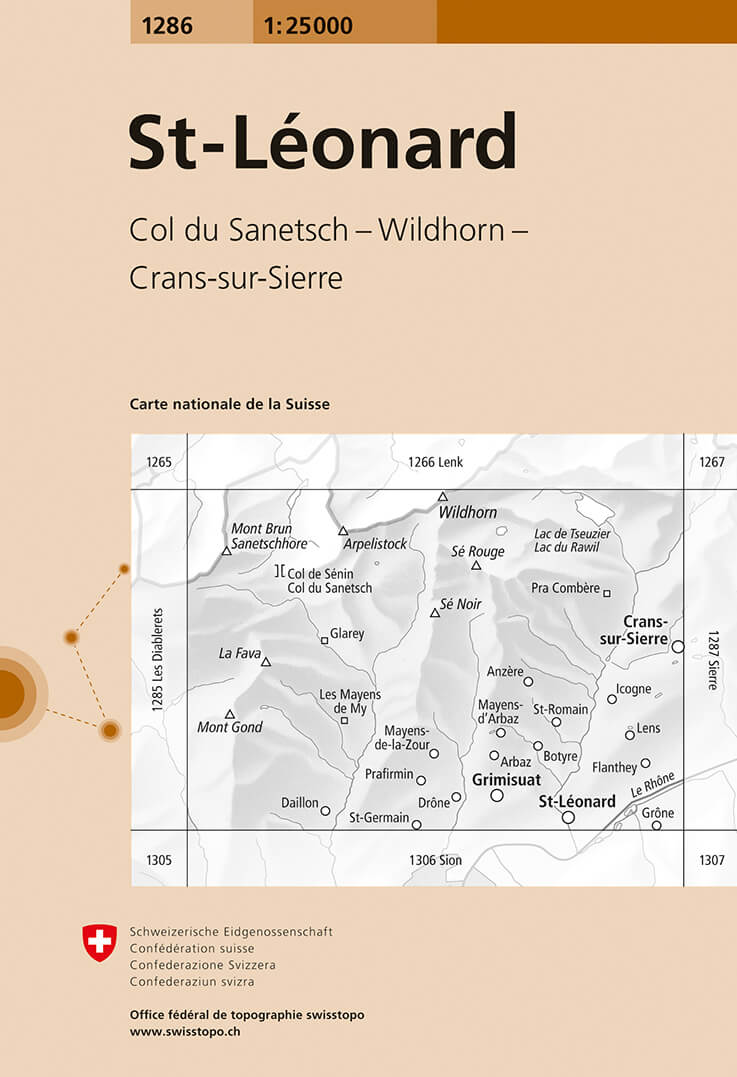
- St-Leonard Swisstopo 1286
- Map No. 1286, St-Léonard, in the topographic survey of Switzerland at 1:25,000 from Bundesamt für Landestopographie (swisstopo), covering the whole country on 247 small format sheets, with special larger maps published for popular regions including some titles now available in hiking versions.Highly regarded for their superb use of graphic... Read more
De Zwerver
Netherlands
Netherlands
- Wandelkaart - Topografische kaart 303 Mammoth Hot Springs Yellowstone National Park | National Geographic
- Prachtige geplastificeerde kaart van het nationaal park. Met alle recreatieve voorzieningen als campsites, maar ook met topografische details en wandelroutes ed. Door uitgekiend kleurgebruik zeer prettig in gebruik. Scheur en watervast! Coverage of the Old Faithful area of Yellowstone National Park includes Heart Lake BMA, Pitchstone Plateau,... Read more
- Also available from:
- Stanfords, United Kingdom

Stanfords
United Kingdom
United Kingdom
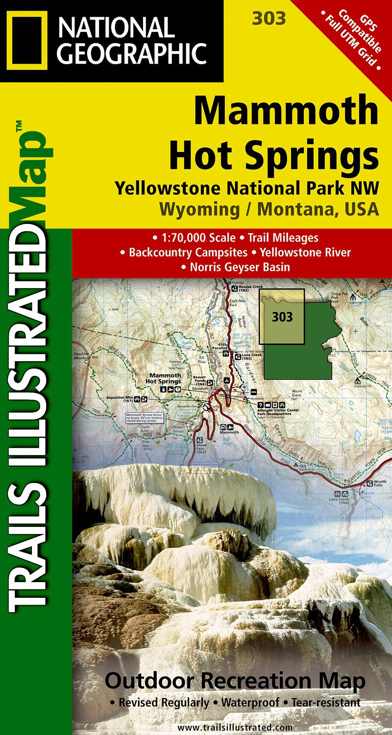
- Mammoth Hot Springs - Yellowstone National Park NW WY/MT
- Map No. 303, Yellowstone NW: Mammoth Hot Springs, WY/MT, in an extensive series of GPS compatible, contoured hiking maps of USA’s national and state parks or forests and other popular recreational areas. Cartography based on the national topographic survey, with additional tourist information.The maps, with most titles now printed on light,... Read more

De Zwerver
Netherlands
Netherlands
- Wandelkaart - Topografische kaart 273 Montana | Swisstopo
- Montana, map No. 273, in the standard topographic survey of Switzerland at 1:50,000 from Swisstopo, i.e. without the special overprint highlighting walking trails, local bus stops, etc, presented in Swisstopo Read more
- Also available from:
- Stanfords, United Kingdom

Stanfords
United Kingdom
United Kingdom
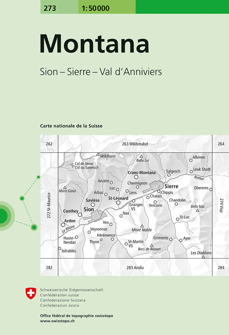
- Montana Swisstopo 273
- Montana, map No. 273, in the standard topographic survey of Switzerland at 1:50,000 from Swisstopo, i.e. without the special overprint highlighting walking trails, local bus stops, etc, presented in Swisstopo’s hiking editions of the 50K survey. The map is divided by the Rhone Valley with Sierre and Sion and covers north of it the resorts of... Read more

De Zwerver
Netherlands
Netherlands
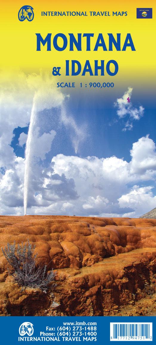
- Wegenkaart - landkaart Idaho, Montana & Wyoming | ITMB
- Idaho,Montana & Wyoming Travel Reference Map 1 : 1 000 000 ab 10.49 EURO International Travel Map ITM. 1st Edition Read more
De Zwerver
Netherlands
Netherlands
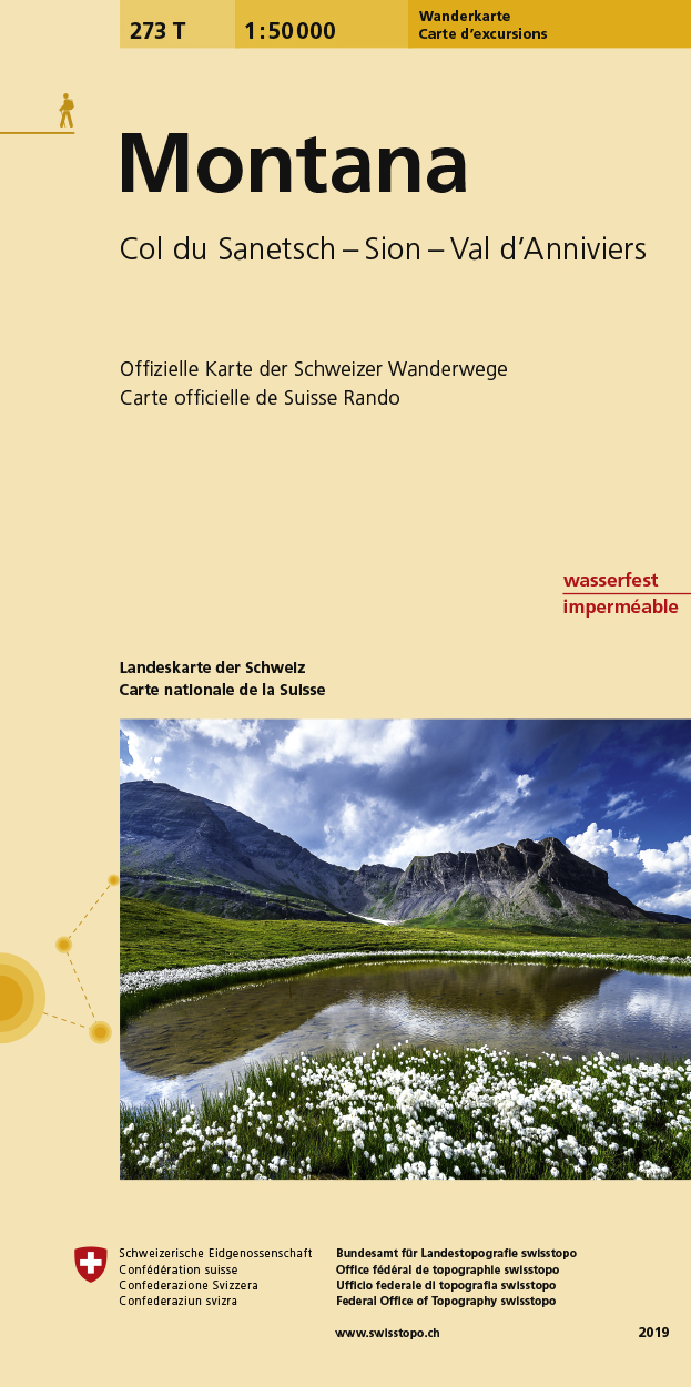
- Wandelkaart 273T Montana | Swisstopo
- Montana area, map No. 273T, at 1:50,000 in a special hiking edition of the country Read more
- Also available from:
- Stanfords, United Kingdom

Stanfords
United Kingdom
United Kingdom
- Montana Swisstopo Hiking 273T
- Montana area, map No. 273T, at 1:50,000 in a special hiking edition of the country’s topographic survey, published by Swisstopo in cooperation with the Swiss Hiking Federation. The map is divided by the Rhone Valley with Sierre and Sion and covers north of it the resorts of Crans-Montana and Lens and the peak of Wildhorn, and to the south most... Read more
De Zwerver
Netherlands
Netherlands
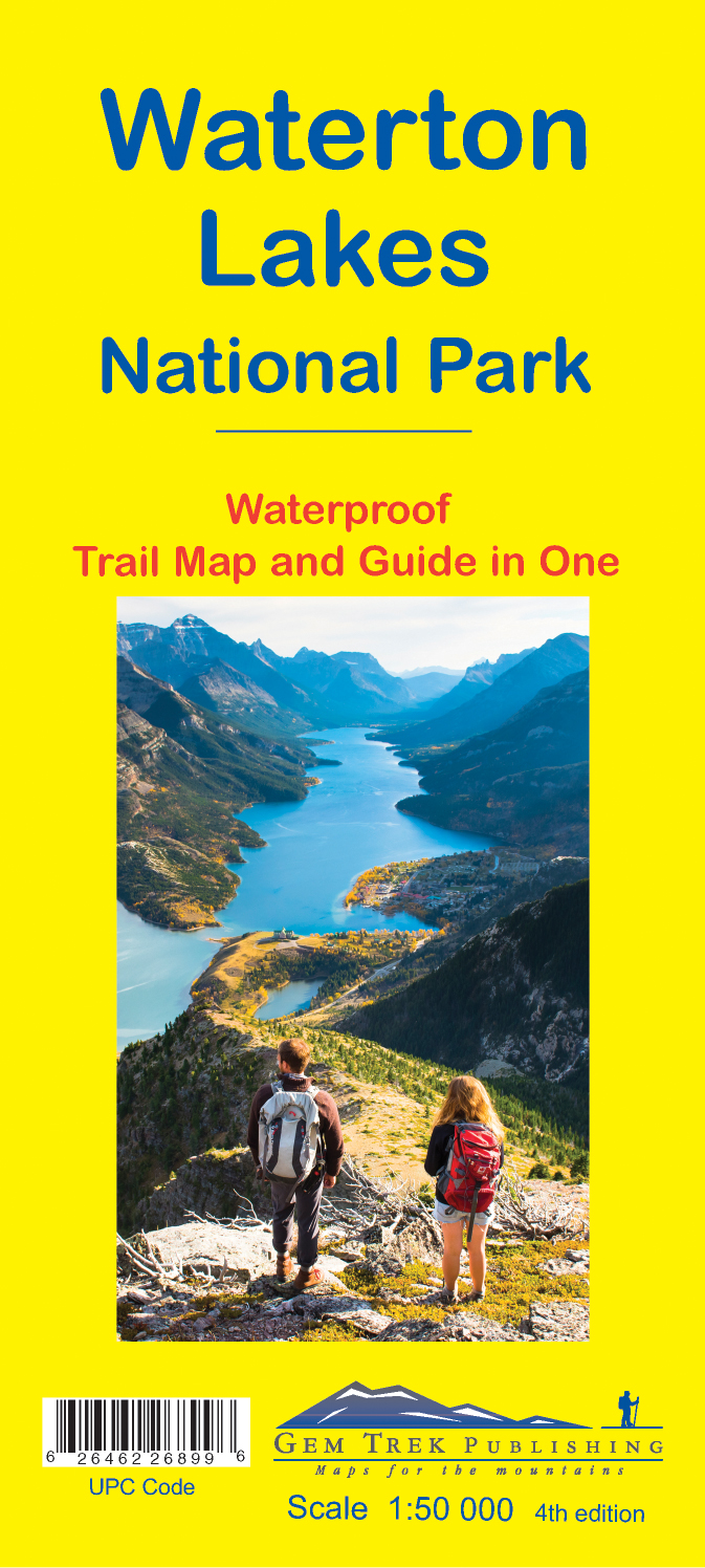
- Wandelkaart 16 Waterton Lakes NP | Gem Trek Maps
- The Waterton Lakes National Park map is one of our most popular trail map-guides for the Canadian Rockies. This map covers all of Waterton Lakes National Park, the eastern end of Akamina-Kishinena Provincial Park, and the Goat Haunt or northern area of Glacier National Park, Montana, at the south end of Upper Waterton Lake. The front of the map... Read more
- Also available from:
- Stanfords, United Kingdom

Stanfords
United Kingdom
United Kingdom
- Waterton Lakes National Park Gem Trek Map
- Waterton Lakes National Park in British Columbia with the northern part of the Glacier National Park across the US border in Montana at 1:50,000 on a light, waterproof and tear-resistant map from Gem Trek with descriptions of recommended treks and bike trails, etc.Contours are at 25m intervals, enhanced by relief shading and colouring for... Read more
De Zwerver
Netherlands
Netherlands
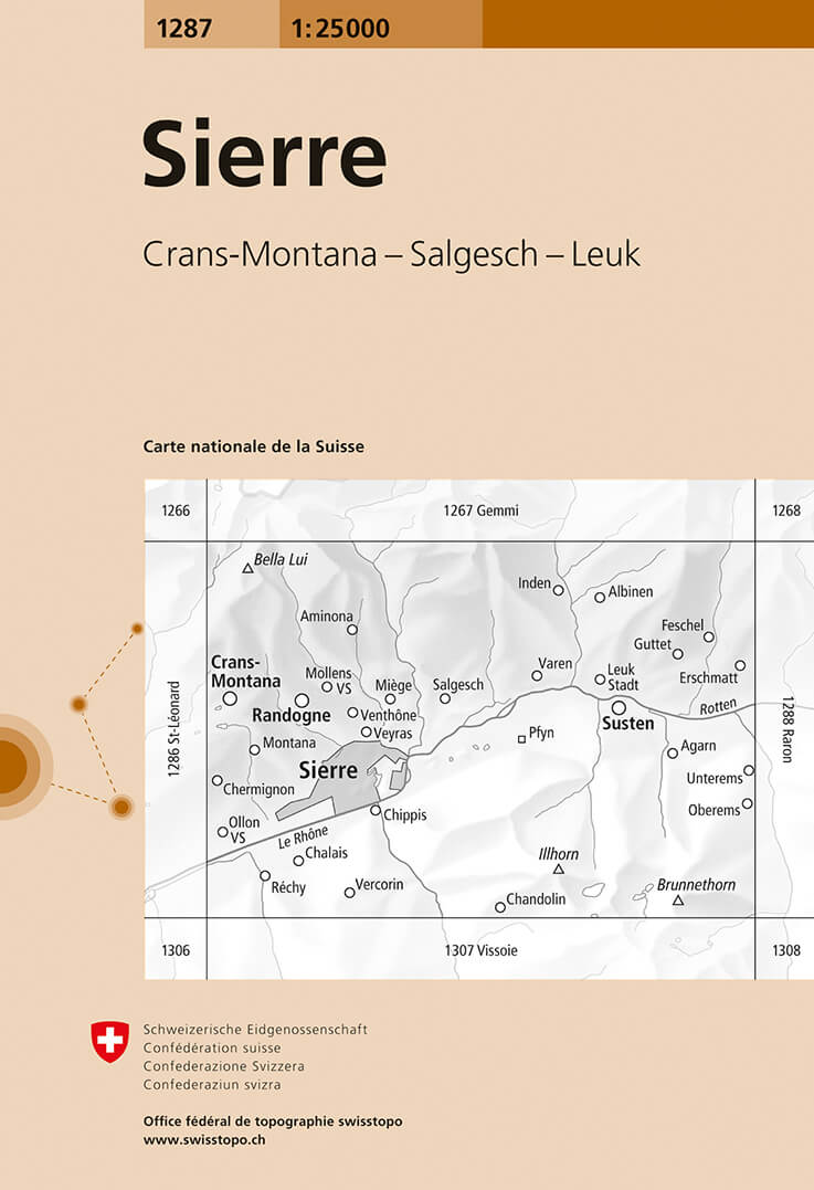
- Wandelkaart - Topografische kaart 1287 Sierre | Swisstopo
- Map No. 1287, Sierre, in the topographic survey of Switzerland at 1:25,000 from Bundesamt f Read more
- Also available from:
- Stanfords, United Kingdom

Stanfords
United Kingdom
United Kingdom
- Sierre Swisstopo 1287
- Map No. 1287, Sierre, in the topographic survey of Switzerland at 1:25,000 from Bundesamt für Landestopographie (swisstopo), covering the whole country on 247 small format sheets, with special larger maps published for popular regions including some titles now available in hiking versions.Highly regarded for their superb use of graphic relief... Read more
Bol.com
Netherlands
Netherlands
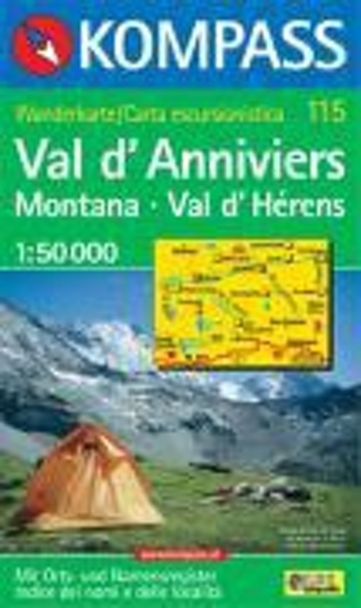
- Val d'Anniviers, Montana, Val d'Hérens WK115
- Deze Kompass wandelkaart, schaal 1:50 000, is ideaal om uw route uit te stippelen en om onderweg te gebruiken • naast de bekende bestemmingen, worden ook de minder bekende vermeld • openbaar vervoer bij begin- of eindpunt van een route aangegeven • eenvoudige wandelingen tot pittige (berg)tochten, voor getrainde en ongetrainde wandelaars • met... Read more
- Also available from:
- Bol.com, Belgium
Bol.com
Belgium
Belgium
- Val d'Anniviers, Montana, Val d'Hérens WK115
- Deze Kompass wandelkaart, schaal 1:50 000, is ideaal om uw route uit te stippelen en om onderweg te gebruiken • naast de bekende bestemmingen, worden ook de minder bekende vermeld • openbaar vervoer bij begin- of eindpunt van een route aangegeven • eenvoudige wandelingen tot pittige (berg)tochten, voor getrainde en ongetrainde wandelaars • met... Read more

De Zwerver
Netherlands
Netherlands
- Wandelkaart - Topografische kaart 215 Glacier - Waterton Lakes National Park | National Geographic
- Prachtige geplastificeerde kaart van het bekende nationaal park. Met alle recreatieve voorzieningen als campsites, maar ook met topografische details en wandelroutes ed. Door uitgekiend kleurgebruik zeer prettig in gebruik. Scheur en watervast! Waterton Lakes National Park, Canada includes Waterton Park, Upper and Middle Waterton Lakes, The... Read more
- Also available from:
- Bol.com, Netherlands
- Bol.com, Belgium
- Stanfords, United Kingdom

Bol.com
Netherlands
Netherlands
- Glacier/waterton Lakes National Parks
- Waterproof Tear-Resistant Topographic MapNational Geographic's Trails Illustrated map of Glacier and Waterton Lakes National Parks offers unparalleled detail for outdoor enthusiasts exploring the pristine landscape of forests, mountains, lakes, and meadows within these two spectacular parks. Created in partnership with local land... Read more
Bol.com
Belgium
Belgium
- Glacier/waterton Lakes National Parks
- Waterproof Tear-Resistant Topographic MapNational Geographic's Trails Illustrated map of Glacier and Waterton Lakes National Parks offers unparalleled detail for outdoor enthusiasts exploring the pristine landscape of forests, mountains, lakes, and meadows within these two spectacular parks. Created in partnership with local land... Read more

Stanfords
United Kingdom
United Kingdom
- Glacier - Waterton Lakes National Park MT
- Map No. 215, Glacier/Waterton Lakes National Park, MT, in an extensive series of GPS compatible, contoured hiking maps of USA’s national and state parks or forests and other popular recreational areas. Cartography based on the national topographic survey, with additional tourist information.The maps, with most titles now printed on light,... Read more

De Zwerver
Netherlands
Netherlands
- Wandelkaart - Topografische kaart 201 Trails Illustrated Yellowstone National Park | National Geographic
- Prachtige geplastificeerde kaart van het bekende nationaal park. Met alle recreatieve voorzieningen als campsites, maar ook met topografische details en wandelroutes ed. Door uitgekiend kleurgebruik zeer prettig in gebruik. Scheur en watervast! Detailed and accurate coverage for Yellowstone National Park. Includes a detailed road network and... Read more
- Also available from:
- Bol.com, Netherlands
- Bol.com, Belgium
- Stanfords, United Kingdom
- The Book Depository, United Kingdom

Bol.com
Netherlands
Netherlands
- Yellowstone National Park
- Waterproof Tear-Resistant Topographic MapNational Geographic's Trails Illustrated map of Yellowstone National Park is designed to meet the needs of outdoor enthusiasts by combining valuable information with unmatched detail of America's first national park. Expertly researched and created in partnership with local land management... Read more
Bol.com
Belgium
Belgium
- Yellowstone National Park
- Waterproof Tear-Resistant Topographic MapNational Geographic's Trails Illustrated map of Yellowstone National Park is designed to meet the needs of outdoor enthusiasts by combining valuable information with unmatched detail of America's first national park. Expertly researched and created in partnership with local land management... Read more

Stanfords
United Kingdom
United Kingdom
- Yellowstone National Park WY/MT NGS Trails Illustrated Map 201
- Map No. 201, Yellowstone National Park, WY/MT, in an extensive series of GPS compatible, contoured hiking maps of USA’s national and state parks or forests and other popular recreational areas. Cartography based on the national topographic survey, with additional tourist information.The maps, with most titles now printed on light, waterproof... Read more

The Book Depository
United Kingdom
United Kingdom
- Yellowstone National Park
- Trails Illustrated National Parks Read more

Bol.com
Netherlands
Netherlands
- Lanzarote WK241
- Toeristische kaart voor wandelen, fietsen en vrije tijd met activiteitengids en stadsplattegronden • goed leesbare schaal van 1:50 000 • te gebruiken met GPS • met praktische informatie over de regio • wandel- en fietspaden • aanbevolen routes • kastelen • uitzichtpunten • stranden en baaien • toeristische informatie • veel topografische... Read more
- Also available from:
- Bol.com, Belgium
Bol.com
Belgium
Belgium
- Lanzarote WK241
- Toeristische kaart voor wandelen, fietsen en vrije tijd met activiteitengids en stadsplattegronden • goed leesbare schaal van 1:50 000 • te gebruiken met GPS • met praktische informatie over de regio • wandel- en fietspaden • aanbevolen routes • kastelen • uitzichtpunten • stranden en baaien • toeristische informatie • veel topografische... Read more

Bol.com
Netherlands
Netherlands
- Tenerife Hikers Maps
- Our latest hiking research on Tenerife has resulted in new editions of Walk! Tenerife and Tenerife Hikers' Super-Durable Maps being published in 2017. Thanks to Jan Kostura's 2016 research we have several new hiking adventures described in detail in Walk! Tenerife. Jan's gps records of his research for new routes and updating of current routes... Read more
- Also available from:
- Bol.com, Belgium
Bol.com
Belgium
Belgium
- Tenerife Hikers Maps
- Our latest hiking research on Tenerife has resulted in new editions of Walk! Tenerife and Tenerife Hikers' Super-Durable Maps being published in 2017. Thanks to Jan Kostura's 2016 research we have several new hiking adventures described in detail in Walk! Tenerife. Jan's gps records of his research for new routes and updating of current routes... Read more

Bol.com
Netherlands
Netherlands
- North Fork, Glacier National Park
- Waterproof Tear-Resistant Topographic MapLocated just north of Kalispell in Montana's northwest corner, Glacier National contains an abundance of recreational opportunities for outdoor enthusiasts of all interests.This detailed topographic recreation map contains carefully researched trails, campsites, forest service roads, and... Read more
- Also available from:
- Bol.com, Belgium
- Stanfords, United Kingdom
Bol.com
Belgium
Belgium
- North Fork, Glacier National Park
- Waterproof Tear-Resistant Topographic MapLocated just north of Kalispell in Montana's northwest corner, Glacier National contains an abundance of recreational opportunities for outdoor enthusiasts of all interests.This detailed topographic recreation map contains carefully researched trails, campsites, forest service roads, and... Read more

Stanfords
United Kingdom
United Kingdom
- North Fork - Glacier National Park MT NGS Trails Illustrated Map 313
- Map No. 314, Glacier National Park: Many Glacier, MT, in an extensive series of GPS compatible, contoured hiking maps of USA’s national and state parks or forests and other popular recreational areas. Cartography based on the national topographic survey, with additional tourist information.The maps, with most titles now printed on light,... Read more