
Karwendel
Beschrijving

Karwendel - a well known mountain area in northern Austria, above Innsbruck, bordering to Germany - is the largest mountain area of the Northern Limestone Alps. It is a beautiful place, and many people have fallen in love with the wild and typical dry mountain scenery.
The area is situated between the rivers Inn and Isar rivers and the Achensee. The highest peak is the Birkkarspitze (2749 m). The four mountain ranges count some 125 peaks above 2000 m.
The Karwendel is ideal for making challenging multi-day hikes. Mountain hiking experience is required for all but the most easy trails. For although some cabins can be reached through a simple path, most trails in between are more difficult. They are narrow and steep and occasionally need some light "scrambling”. The crossing from one valley to another requires steep climbs and descents over the arid limestone ranges. Some passages are secured with steel cables.
For the well-trained hiker, the Karwendel is a rewarding destination.
Kaart

Paden in deze regio
Links
Feiten
Verslagen
Gidsen en kaarten
Overnachting
Organisaties
Reisorganisaties
GPS
Anders
Boeken

Netherlands
2024


Netherlands
2015
- Wandelgids Österreich: Adlerweg - Oostenrijk | Conrad Stein Verlag
- Handzaam boekje met de routebeschrijving inclusief een heleboel praktische informatie. De beschrijving is uitstekend, maar kaarten zijn beperkt en schetsmatig aanwezig. Duits. Dieses OutdoorHandbuch beschreibt Tirols bekanntesten Fernwanderweg, den 320 km langen Adlerweg zwischen St. Johann i. T. im Osten und der Passhöhe des Arlbergpasses im... Read more
Netherlands
2020
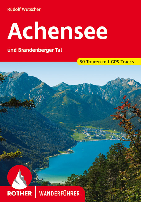
- Wandelgids 01 Achensee | Rother Bergverlag
- Uitstekende wandelgids met een groot aantal dagtochten in dal en hooggebergte. Met praktische informatie en beperkt kaartmateriaal! Wandelingen in verschillende zwaarte weergegeven in rood/blauw/zwart. Das Achenseegebiet blickt auf eine lange Tradition als Urlaubsregion zurück: Erster Erholungsort war wohl das Fürstenhaus zu Pertisau, das die... Read more

Netherlands
2022
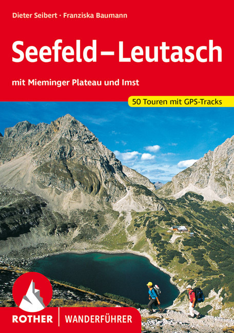
- Wandelgids Seefeld-Leutasch | Rother Bergverlag
- Uitstekende wandelgids met een groot aantal dagtochten in dal en hooggebergte. Met praktische informatie en beperkt kaartmateriaal! Wandelingen in verschillende zwaarte weergegeven in rood/blauw/zwart. Sanftes Almgelände und tosende Wildbäche – überragt von Karwendel, Wetterstein, Mieminger und Lechtaler Bergen – versprechen abwechslungsreiche... Read more

Netherlands
2021
- Wandelgids Adlerweg - Adelaarsweg | Rother Bergverlag
- De Rother wandelgidsen beschrijven zeer goed de wandelingen in specifieke gebieden. In de gids vindt men kaarten, routebeschrijvingen en de nodige praktische informatie om van de wandelingen/trekkings een geslaagde onderneming te maken. 31 Höhenprofile; 32 Wanderkärtchen im Maßstab 1:75.000, zwei Übersichtskarten; GPS-Tracks zum Download »Auf... Read more

Netherlands
2013
- Wandelgids Münchner Wanderberge | Rother Bergverlag
- De ‘Rother Wanderbücher’ behandelen telkens de 50 mooiste wandelingen, die variëren van eenvoudige kindvriendelijke wandelingen tot routes die aanzienlijk meer ervaring vereisen. Uitvoerige routebeschrijvingen, een aantrekkelijke lay-out met vele kleurenfoto’s, niets aan duidelijkheid te wensen gelaten hoogteprofielen, kaartjes met de... Read more

Netherlands
2023


Netherlands
2022
- Wandelgids Munchen - Venetie, München - Venedig | Rother Bergverlag
- Beschrijving van een lange afstand pad dwars door de Alpen van Munchen naar Venetie: goede beschrijvingen van de etappes, kaarten redelijk. Die anspruchsvolle Alpenüberquerung von München nach Venedig verläuft auf einer der interessantesten aller möglichen Routen über das höchste Gebirge Europas. Im Herzen Münchens beginnt die Tour am... Read more

Netherlands
2011
- Wandelgids Tirol Oberinntal | Rother Bergverlag
- 50 Touren zwischen Innsbruck und Arlberg Rother Wanderbuch. 1. Auflage. Read more

Netherlands
2021
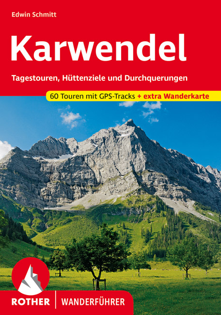
- Wandelgids Karwendel | Rother Bergverlag
- Uitstekende wandelgids met een groot aantal dagtochten in dal en hooggebergte. Met praktische informatie en beperkt kaartmateriaal! Wandelingen in verschillende zwaarte weergegeven in rood/blauw/zwart. In deze nieuwe versie is een kaart bijgevoegd op schaal 1:60.000 Das Karwendel, jenes »urweltliche Gebirg',« zwischen Inntal und... Read more
Kaarten

Netherlands
2016
- Wandelgids The Cretan Way E4 | Anavasi
- The Cretan Way is a 500km walking route which takes you from east to west across the varied and spectacular landscapes of Crete. It is the ideal way to discover the rural, mountainous and costal regions of this incredible island. This guide is based on a 28-day walk.This guide includes practical information, maps at a scale of 1:25.000 of... Read more
- Also available from:
- Stanfords, United Kingdom

United Kingdom
2016
- The Cretan Way - A 28 Day Walk
- The Cretan Way is a 500km walking route which takes you from east to west across the varied and spectacular landscapes of Crete. It is the ideal way to discover the rural, mountainous and costal regions of this incredible island. This guide is based on a 28-day walk.This guide includes practical information, maps at a scale of 1:25.000 of... Read more

Netherlands
2015
- Wandelkaart 01 Valli di Susa, chisone e germanasca | IGC - Istituto Geografico Centrale
- IGC heeft een serie gedetailleerde wandelkaarten voor het Italiaanse gedeelte van de Alpen (Piemonte). Voldoende gedetailleerd voor het volgen van het lokale wandelnetwerk. Voorzien van schaduwreliëf; hoogtelijnen en referentiehoogtes. Onderscheid in soort wandelpad ( bergpad, bergpad met hindernissen,gletsjerovergang). Ook zijn de... Read more
- Also available from:
- Stanfords, United Kingdom

United Kingdom
2015
- Susa, Chisone & Germanasca Valleys: Sestiere - Sauze d`Oulx - Bardonecia 50K IGC Map No. 1
- Susa, Chisone and Germanasca Valleys, with coverage including Sestiere, Sauze d`Oulx and Bardonecia, in a series of contoured hiking maps at 1:50,000 with local trails, long-distance footpaths, mountain accommodation, etc. from the Turin based Istituto Geografico Centrale.Maps in this series have contours at 50m intervals, enhanced by shading... Read more

Netherlands
- Wandelkaart 6.11 Mt. Olympus | Anavasi
- Mt Olympus in a series of waterproof and tear-resistant hiking maps at scales varying from 1:50,000 to 1:10,000, with a UTM grid for GPS users. Contour interval varies depending on the scale, on most maps it is 20m. Relief shading, spot heights, springs, seasonal streams and, in most titles, landscape/land-use variations, e.g. forests,... Read more
- Also available from:
- Stanfords, United Kingdom

United Kingdom
- Mt Olympus Anavasi 6.11
- Mt Olympus in a series of waterproof and tear-resistant hiking maps at scales varying from 1:50,000 to 1:10,000, with a UTM grid for GPS users. Contour interval varies depending on the scale, on most maps it is 20m. Relief shading, spot heights, springs, seasonal streams and, in most titles, landscape/land-use variations, e.g. forests,... Read more

Netherlands
- Wandelkaart Strandzha - Bulgarije | Domino
- Strandzha Mountains in the south-eastern corner of Bulgaria between Burgas to the Turkish border on a contoured and GPS compatible map from Domino showing local hiking trails and highlighting various interesting sites, with three more detailed enlargements at 1:25,000. Most place names are in both Latin and Cyrillic alphabet; map legend... Read more
- Also available from:
- Stanfords, United Kingdom

United Kingdom
- Strandzha Mountains: Burgas to the Turkish Border Domino Map
- Strandzha Mountains in the south-eastern corner of Bulgaria between Burgas to the Turkish border on a contoured and GPS compatible map from Domino showing local hiking trails and highlighting various interesting sites, with three more detailed enlargements at 1:25,000. Most place names are in both Latin and Cyrillic alphabet; map legend... Read more

Netherlands
2010
- Wandelkaart 02 Valli di lanzo e Moncenisio | IGC - Istituto Geografico Centrale
- Lanzo and Moncenisio Valleys, map no. 2, in a series contoured hiking maps at 1:50,000 with local trails, long-distance footpaths, mountain accommodation, etc. from the Turin based Istituto Geografico Centrale covering the Italian Alps and Piedmont, the lakes and northern Lombardy, and the Italian Riviera.The maps have contours at 50m... Read more
- Also available from:
- Stanfords, United Kingdom

United Kingdom
2010
- Lanzo and Moncenisio Valleys IGC 2
- Lanzo and Moncenisio Valleys in a series contoured hiking maps at 1:50,000 with local trails, long-distance footpaths, mountain accommodation, etc. from the Turin based Istituto Geografico Centrale. This title also includes an overprint showing cycle routes.Maps in this series have contours at 50m intervals, enhanced by shading and graphic... Read more

Netherlands
2017
- Wandelkaart 14 San Remo, imperia Monte Carlo | IGC - Istituto Geografico Centrale
- The westernmost part of the Italian Riviera with coverage extending from Monte Carlo to Imperia and northwards to Tende, in a series contoured hiking maps at 1:50,000 with local trails, long-distance footpaths, mountain accommodation, etc. from the Turin based Istituto Geografico Centrale.Maps in this series have contours at 50m intervals,... Read more
- Also available from:
- Stanfords, United Kingdom

United Kingdom
2017
- San Remo - Imperia - Monte Carlo IGC 14
- The westernmost part of the Italian Riviera with coverage extending from Monte Carlo to Imperia and northwards to Tende, in a series contoured hiking maps at 1:50,000 with local trails, long-distance footpaths, mountain accommodation, etc. from the Turin based Istituto Geografico Centrale.Maps in this series have contours at 50m intervals,... Read more

Netherlands
2012
- Wandelkaart 16 Genova, Genua, Varazze, Ovada | IGC - Istituto Geografico Centrale
- Genoa - Varazze - Ovada, map no. 16, in a series contoured hiking maps at 1:50,000 with local trails, long-distance footpaths, mountain accommodation, etc. from the Turin based Istituto Geografico Centrale covering the Italian Alps and Piedmont, the lakes and northern Lombardy, and the Italian Riviera.The maps have contours at 50m intervals,... Read more
- Also available from:
- Stanfords, United Kingdom

United Kingdom
2012
- Genoa - Varazze - Ovada 50K IGC Map No. 16
- The coast of the Italian Riviera and its hinterland around Genoa in a series contoured hiking maps at 1:50,000 with local trails, long-distance footpaths, mountain accommodation, etc. from the Turin based Istituto Geografico Centrale.Maps in this series have contours at 50m intervals, enhanced by shading and graphic relief. An overprint... Read more

Netherlands
- Wandelkaart 5 Rila gebergte | Domino
- Rila Mountains at 1:50,000 on a large, double-sided, contoured map with GPS waypoints for shelters and chalets, peaks, etc. and highlighting hiking routes. Topography is shown by contours at 50m intervals with additional relief shading and graphics and colouring for scree, single rocks over 5m high, marshlands and pine scrub and forests. An... Read more
- Also available from:
- Stanfords, United Kingdom

United Kingdom
- Rila Mountains Domino
- Rila Mountains at 1:50,000 on a large, double-sided, contoured map with GPS waypoints for shelters and chalets, peaks, etc. and highlighting hiking routes. Topography is shown by contours at 50m intervals with additional relief shading and graphics and colouring for scree, single rocks over 5m high, marshlands and pine scrub and forests. An... Read more
Netherlands
- Wandelkaart 05/2 Alpenvereinskarte Karwendelgebirge - Mitte | Alpenverein
- Karwendelgebirge Central area of the Alps in a hiking edition at 1:25,000 from a series of detailed, GPS compatible maps published by the DAV - Deutscher Alpenverein and produced by the German and Austrian Alpine Clubs using cartography from their respective survey organizations. Maps in this series have topography vividly presented by contours... Read more
- Also available from:
- Stanfords, United Kingdom

United Kingdom
- Karwendelgebirge Central Alpenverein Map 5/2
- Karwendelgebirge Central area of the Alps in a hiking edition at 1:25,000 from a series of detailed, GPS compatible maps published by the DAV - Deutscher Alpenverein and produced by the German and Austrian Alpine Clubs using cartography from their respective survey organizations. Maps in this series have topography vividly presented by contours... Read more
Netherlands
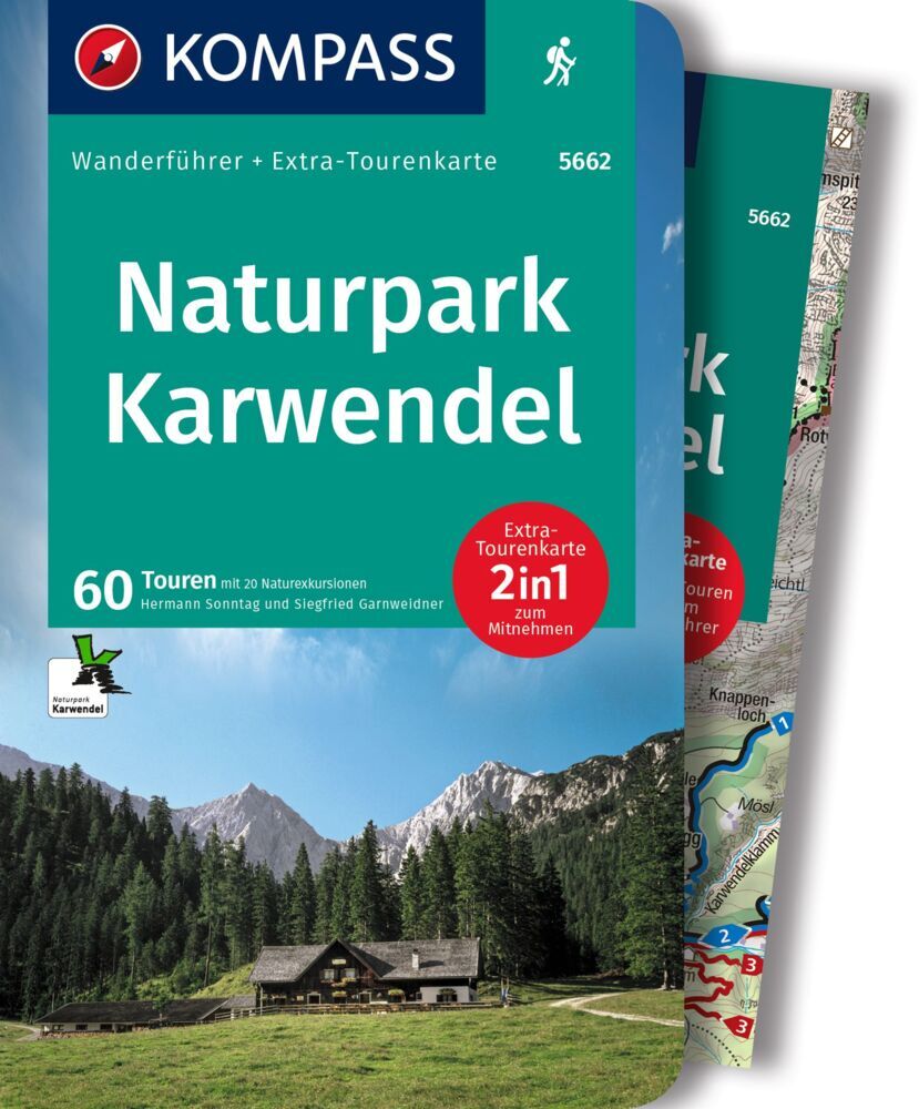
- Wandelkaart 08 Outdoorkarte AT Naturpark Karwendel | Kümmerly & Frey
- Alpenwelt Karwendel - Innsbruck - Achensee - Risstal area of the Tyrol at 1:35,000 on a GPS compatible, double-sided map from Kümmerly+Frey printed on sturdy, waterproof and tear-resistant synthetic paper; contoured, with hiking, cycling and ski routes, accommodation facilities, locations for other recreational activities, etc.Maps in the K+F... Read more
- Also available from:
- Stanfords, United Kingdom

United Kingdom
- Alpenwelt Karwendel - Innsbruck - Achensee - Risstal K+F Outdoor Map 8
- Alpenwelt Karwendel - Innsbruck - Achensee - Risstal area of the Tyrol at 1:35,000 on a GPS compatible, double-sided map from Kümmerly+Frey printed on sturdy, waterproof and tear-resistant synthetic paper; contoured, with hiking, cycling and ski routes, accommodation facilities, locations for other recreational activities, etc.Maps in the K+F... Read more

Netherlands
2012
- Wandelkaart 03 Il parco nazionale del Gran Paradiso | IGC - Istituto Geografico Centrale
- Gran Paradiso National Park in a series contoured hiking maps at 1:50,000 with local trails, long-distance footpaths, mountain accommodation, etc, from the Turin based Istituto Geografico Centrale. This new edition published in late 2013 highlights, among other routes, the GTA (Grande Traversata delle Alpi), Via Alpina and Alta Via 2. Coverage... Read more
- Also available from:
- Stanfords, United Kingdom

United Kingdom
2012
- Gran Paradiso National Park IGC 3
- Gran Paradiso National Park in a series contoured hiking maps at 1:50,000 with local trails, long-distance footpaths, mountain accommodation, etc, from the Turin based Istituto Geografico Centrale. The map highlights, among other routes, the GTA (Grande Traversata delle Alpi), Via Alpina and Alta Via 2. Coverage extends from Aosta at the top of... Read more

Netherlands
2010
- Wandelkaart 17 Torino, Pinerolo e Bassa val di Susa | IGC - Istituto Geografico Centrale
- Turin - Pinerolo - Lower Susa Valley, map no. 17, in a series contoured hiking maps at 1:50,000 with local trails, long-distance footpaths, mountain accommodation, etc. from the Turin based Istituto Geografico Centrale covering the Italian Alps and Piedmont, the lakes and northern Lombardy, and the Italian Riviera.The maps have contours at 50m... Read more
- Also available from:
- Stanfords, United Kingdom

United Kingdom
2010
- Turin - Pinerolo - Lower Susa Valley 50K IGC Map No. 17
- Turin - Pinerolo - Lower Susa Valley area of Piedmont in a series contoured hiking maps at 1:50,000 with local trails, long-distance footpaths, mountain accommodation, etc. from the Turin based Istituto Geografico Centrale.Maps in this series have contours at 50m intervals, enhanced by shading and graphic relief. An overprint highlights local... Read more

- Also available from:
- Stanfords, United Kingdom

United Kingdom
2019
- Langhe Meridionali IGC 18
- The southern part of the Langhe region of Piedmont, famous for its wines, cheeses, and truffles, in a series contoured hiking maps at 1:50,000 with local trails, long-distance footpaths, mountain accommodation, etc. from the Turin based Istituto Geografico Centrale.Maps in this series have contours at 50m intervals, enhanced by shading and... Read more

Netherlands
- Wandelkaart 6 Pirin gebergte | Domino
- Pirin Mountains at 1:50,000 on a large, double-sided, contoured map with GPS waypoints for shelters and chalets, peaks, etc. and highlighting hiking routes. Topography is shown by contours at 40m intervals with additional relief shading and graphics and colouring for sandstone stacks, single rocks over 5m high, marshlands and different types of... Read more
- Also available from:
- Stanfords, United Kingdom

United Kingdom
- Pirin Mountains Domino
- Pirin Mountains at 1:50,000 on a large, double-sided, contoured map with GPS waypoints for shelters and chalets, peaks, etc. and highlighting hiking routes. Topography is shown by contours at 40m intervals with additional relief shading and graphics and colouring for sandstone stacks, single rocks over 5m high, marshlands and different types of... Read more