
Via Claudia Augusta
Beschrijving
- Name Via Claudia Augusta (VIA)


VIA
Links
Feiten
Verslagen
Gidsen en kaarten
Overnachting
Organisaties
Reisorganisaties
GPS
Anders
Boeken
De Zwerver
Netherlands
2017
Netherlands
2017
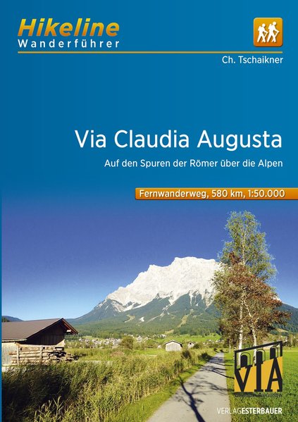
- Wandelgids Hikeline Via Claudia Augusta | Esterbauer
- Handzame gids met een goede beschrijving van Via Claudia Augusta. Via Claudia Augusta - entlang der alten Römerstraße entdecken Sie historische Relikte aus der Römerzeit; unberührte Naturlandschaften, idyllische Plätze an Flüssen; in Wäldern oder romantischen Städten. Dieser Fernwanderweg führt Sie auf den Spuren der Feldherren Drusus und... Read more
Kaarten

Stanfords
United Kingdom
United Kingdom
- Adige/Etsch Cycle Route: Landeck - Verona (345km) Bikeline Map/Guide
- The Adige/Etsch Cycle Route, a 345-km long cycle trail from Landeck in the Austrian Alps to Verona, presented by the Verlag Esterbauer in a guide with maps at 1:75,000 showing the route and its variants. Extensive information is conveyed by symbols, indicating road surface, campsites and other accommodation, repair workshops, recreational... Read more

Stanfords
United Kingdom
United Kingdom
- Romantic Road Cycle Route
- The Romantische Straße, a 370-km long route across Bavaria from Würzburg to Füssen and the famous fairy tale castle of Neuschweinstein in the German Alps, presented by the Verlag Esterbauer in guide with maps at 1:75,000 showing the route and its variants. Extensive information is conveyed by symbols, indicating road surface, campsites and... Read more

Stanfords
United Kingdom
United Kingdom
- Via Claudia Augusta Cycle Route - from the Danube to the Adriatic Bikeline Map-Guide
- Via Claudia Augusta Cycle Route, an 800-km long route from Donauwörth on the Danube in Germany to either Venice or the Po via Verona, presented by the Verlag Esterbauer in a guide with maps at 1:75,000 showing the route and its variants. Extensive information is conveyed by symbols, indicating road surface, campsites and other accommodation,... Read more

Stanfords
United Kingdom
United Kingdom
- Adige / Etsch Cycle Route - Landeck to Verona Bikeline Map-Guide
- The Adige/Etsch Cycle Route, a 345-km long cycle trail from Landeck in the Austrian Alps to Verona, presented by the Verlag Esterbauer in a guide with maps at 1:75,000 showing the route and its variants. Extensive information is conveyed by symbols, indicating road surface, campsites and other accommodation, repair workshops, recreational... Read more

Stanfords
United Kingdom
United Kingdom
- Ötztal - Pitztal - Kaunertal - Wildspitze F&B WK251
- Ötztal - Pitztal - Kaunertal - Wildspitze area of the Austrian Alps presented at 1:50,000 in a series of contoured and GPS compatible outdoor leisure map from Freytag & Berndt with hiking and cycling routes, mountain huts, campsites and youth hostels, local bus stops, plus other tourist information.To see the list of currently available titles... Read more
- Also available from:
- The Book Depository, United Kingdom

The Book Depository
United Kingdom
United Kingdom

Stanfords
United Kingdom
United Kingdom
- Lechtal Alps - Allgau Alps F&B WK351
- Lechtaler - Allgäuer Alpen - Oberstdorf - Landeck area of the Austrian and Bavarian Alps presented at 1:50,000 in a series of contoured and GPS compatible outdoor leisure map from Freytag & Berndt with hiking and cycling routes, mountain huts, campsites and youth hostels, local bus stops, plus other tourist information. To see the list of... Read more
- Also available from:
- The Book Depository, United Kingdom

The Book Depository
United Kingdom
United Kingdom