
Kildare
Beschrijving

County Kildare lies in the mid-east of Ireland, not far from Dublin. The three main canals - Barrow, Great Canal, Royal Canal - all pass Kildare. They offer very good walking.
Paden in deze landsdeel
Links
Feiten
Verslagen
Gidsen en kaarten
Overnachting
Organisaties
Reisorganisaties
GPS
Anders
Boeken
Bol.com
Netherlands
Netherlands
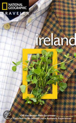
- National Geographic Traveler Ireland
- Author Christopher Somerville is the perfect guide to this picturesque country. He begins with Dublin, Ireland's cosmopolitan capital city, where reminders of the country's stirring history and rich culture adorn nearly every street corner. From there we head south, with highlights including County Kildare, capital of Irish horse racing; the... Read more
- Also available from:
- Bol.com, Belgium
Bol.com
Belgium
Belgium
- National Geographic Traveler Ireland
- Author Christopher Somerville is the perfect guide to this picturesque country. He begins with Dublin, Ireland's cosmopolitan capital city, where reminders of the country's stirring history and rich culture adorn nearly every street corner. From there we head south, with highlights including County Kildare, capital of Irish horse racing; the... Read more

The Book Depository
United Kingdom
United Kingdom
- Moon Ireland (Third Edition)
- Castles, Cliffs, and Lively Local Spots Read more
Kaarten

De Zwerver
Netherlands
Netherlands
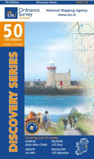
- Topografische kaart - Wandelkaart 50 Discovery Dublin, Kildare, Meath, Wicklow | Ordnance Survey Ireland
- Map No. 50, Dublin - Kildare North-East in the Discovery series from the OSI, the Ordnance Survey of Ireland, which presents the country on detailed topographic maps at 1:50,000, with additional overprint highlighting campsites and caravan parks, youth hostels, etc. Current 7th edition of this map was published in summer 2015.Maps in the... Read more
- Also available from:
- Stanfords, United Kingdom

Stanfords
United Kingdom
United Kingdom
- Dublin - Meath - Kildare - Wicklow OSI Discovery 50
- Map No. 50, Dublin - Kildare North-East in the Discovery series from the OSI, the Ordnance Survey of Ireland, which presents the country on detailed topographic maps at 1:50,000, with additional overprint highlighting campsites and caravan parks, youth hostels, etc. Current 7th edition of this map was published in summer 2015.Maps in the... Read more
De Zwerver
Netherlands
Netherlands
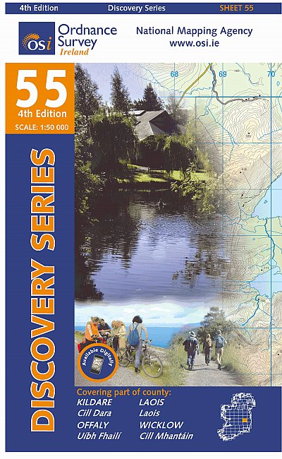
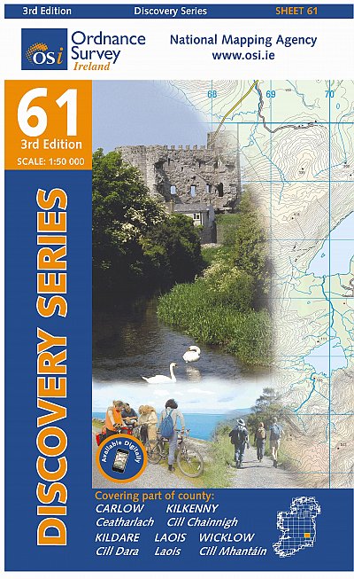
- Topografische kaart - Wandelkaart 61 Discovery Carlow, Kildare, Kilkenny, Laois, Wicklow | Ordnance Survey Ireland
- Map No. 61, Carlow North - Laois South-East - Kilkenny North-East in the Discovery series from the OSI, the Ordnance Survey of Ireland, which presents the country on detailed topographic maps at 1:50,000, with additional overprint highlighting campsites and caravan parks, youth hostels, etc. Current 3rd edition of this map was published in... Read more

Stanfords
United Kingdom
United Kingdom
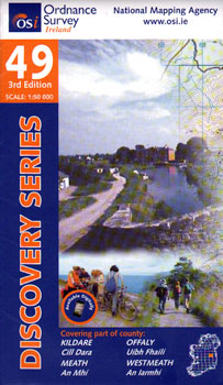
- Kildare - Meath - Offaly - Westmeath OSI Discovery 49
- Map No. 49, Kildare North - Meath south-East - Offaly East in the Discovery series from the OSI, the Ordnance Survey of Ireland, which presents the country on detailed topographic maps at 1:50,000, with additional overprint highlighting campsites and caravan parks, youth hostels, etc. Current 4th edition of this map was published in January... Read more

Stanfords
United Kingdom
United Kingdom
- Carlow - Kildare - Kilkenny - Laois - Wicklow OSI Discovery 61
- Map No. 61, Carlow North - Laois South-East - Kilkenny North-East in the Discovery series from the OSI, the Ordnance Survey of Ireland, which presents the country on detailed topographic maps at 1:50,000, with additional overprint highlighting campsites and caravan parks, youth hostels, etc. Current 3rd edition of this map was published in... Read more