
Limerick
Beschrijving

County Limerick is a relatively flat and fertile part of western Ireland. Along its borders are mountain areas good for walking, like the Slieve Felim mountains, the Ballyhoura Mountains and the Galtee Mountains.
Paden in deze landsdeel
Links
Feiten
Verslagen
Gidsen en kaarten
Overnachting
Organisaties
Reisorganisaties
GPS
Anders
Boeken
Bol.com
Netherlands
Netherlands
- Cycling Munster
- With routes spanning the province, here is everything you need to explore the highways and byways of Munster - on two wheels. This popular guide has now been updated to include the Waterford Greenway, which officially opened in spring 2017. The route, set against the glorious backdrop of the Comeragh Mountains, runs for 46km along an old... Read more
- Also available from:
- Bol.com, Belgium
Bol.com
Belgium
Belgium
- Cycling Munster
- With routes spanning the province, here is everything you need to explore the highways and byways of Munster - on two wheels. This popular guide has now been updated to include the Waterford Greenway, which officially opened in spring 2017. The route, set against the glorious backdrop of the Comeragh Mountains, runs for 46km along an old... Read more
Bol.com
Netherlands
Netherlands
- Catholic Bishop Resigns
- Catholic priests are possibly the most grateful lovers on earth. In Catholic Priest Resigns, Bishop Jerry Black reflects on the struggles, heartache and loneliness that have led him to hand in his resignation. He explores not only his own longing for intimacy, but also the temptations resisted or given into by younger priests, particularly Fr... Read more
- Also available from:
- Bol.com, Belgium
Bol.com
Belgium
Belgium
- Catholic Bishop Resigns
- Catholic priests are possibly the most grateful lovers on earth. In Catholic Priest Resigns, Bishop Jerry Black reflects on the struggles, heartache and loneliness that have led him to hand in his resignation. He explores not only his own longing for intimacy, but also the temptations resisted or given into by younger priests, particularly Fr... Read more

The Book Depository
United Kingdom
United Kingdom
- Moon Ireland (Third Edition)
- Castles, Cliffs, and Lively Local Spots Read more
Kaarten
De Zwerver
Netherlands
Netherlands
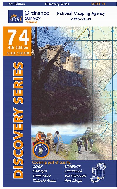
- Topografische kaart - Wandelkaart 74 Discovery Cork, Limerick, Tipperary, Waterford | Ordnance Survey Ireland
- Zeer gedetailleerde topografische kaart met een aantal toegevoegde toeristische symbolen voor bijv. bezienswaardigheden, campings en jeugdherbergen. Met hoogtelijnen, mooi kleurgebruik en ingetekende lange-afstands-wandelroutes. Op deze kaart zijn de nationale parken en de 'national reserves ' uitstekend te vinden. De kaart is dus zowel voor de... Read more

Stanfords
United Kingdom
United Kingdom
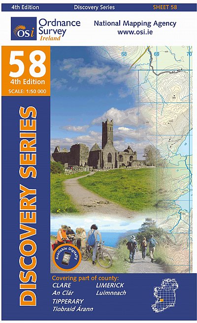
- Clare - Limerick - Tipperary OSI Discovery 65
- Map No. 65, Limerick North-East in the Discovery series from the OSI, the Ordnance Survey of Ireland, which presents the country on detailed topographic maps at 1:50,000, with additional overprint highlighting campsites and caravan parks, youth hostels, etc. Current 4th edition of this title was published in January 2013.Maps in the Discovery... Read more
Stanfords
United Kingdom
United Kingdom
- Kerry - Cork - Limerick OSI Discovery 72
- Map No. 72, Kerry North-East - Cork North-West - Limerick South-West in the Discovery series from the OSI, the Ordnance Survey of Ireland, which presents the country on detailed topographic maps at 1:50,000, with additional overprint highlighting campsites and caravan parks, youth hostels, etc. Current 4th edition of this map was published in... Read more

Stanfords
United Kingdom
United Kingdom
- C55 Dingle Bay to Galway Bay
- Plans included: Cashla Bay (1:30 000) Galway Bay (1:40 000) Galway Harbour (1:15 000) Kilronan (Aran Is.) (1:45 000) River Shannon to Limerick (1:110 000) Kilrush (1:30 000) Foynes Harbour (1:17 500) Fenit Island (1:35 000) Dingle Harbour (1:25 000) On this 2015 edition revised depths are shown throughout, in particular at Cashla Bay, Galway... Read more