
Waterford
Beschrijving

County Waterford has a pleasant landscape of rolling hills and rich with trees. It borders on Ireland’s south coast. It has some hill areas too: the Knockmealdown Mountains and the Comeragh Mountains. The East Munster Way runs from west to east through Waterford.
Paden in deze landsdeel
Links
Feiten
Verslagen
Gidsen en kaarten
Overnachting
Organisaties
Reisorganisaties
GPS
Anders
Boeken

De Zwerver
Netherlands
2007
Netherlands
2007
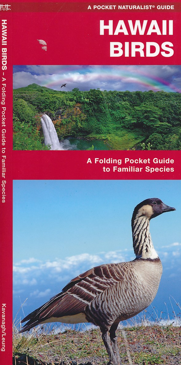
- Vogelgids - Natuurgids Hawaii Birds | Waterford Press
- Een bijzonder handige uitklapkaart met alle veelvoorkomende vogels van Hawaii. Duidelijke illustraties, goede korte omschrijving van soort en leefgebied, geplastificeerd. Read more

De Zwerver
Netherlands
Netherlands
- Natuurgids African Animal Tracks | Waterford Press
- Een handige uitklapkaart met sporen en uitwerpselen van de meest bekende dieren omp ze op te kunnen sporen als je op safari bent. When tracking animals in Africa, guides rely on spoor (tracks and dung) to let them know where and when animals are travelling. African Animal Tracks is the perfect pocket-sized, folding guide for the travelling... Read more

De Zwerver
Netherlands
Netherlands
- Natuurgids Brazil Wildlife - Brazilië | Waterford Press
- Een bijzonder handige uitklapkaart met alle veelvoorkomende wildlife van Brazilië. Duidelijke illustraties, goede korte omschrijving van soort en leefgebied, geplastificeerd. One of the world’s richest ecosystems, Brazil is home to the most species of plants (55,000), fishes (3,000) and mammals (600+) anywhere on earth. A naturalist’s paradise,... Read more
De Zwerver
Netherlands
Netherlands
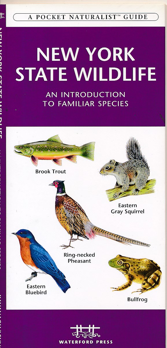
- Natuurgids New York state wildlife | Waterford Press
- New York State Wildlife is the perfect pocket-sized, folding guide for the nature enthusiast. This beautifully illustrated guide highlights over 140 familiar species of birds, mammals, reptiles, amphibians, butterflies and fishes and includes a map featuring prominent state-wide wildlife sanctuaries. Laminated for durability, this handy guide... Read more
De Zwerver
Netherlands
2023
Netherlands
2023

De Zwerver
Netherlands
Netherlands
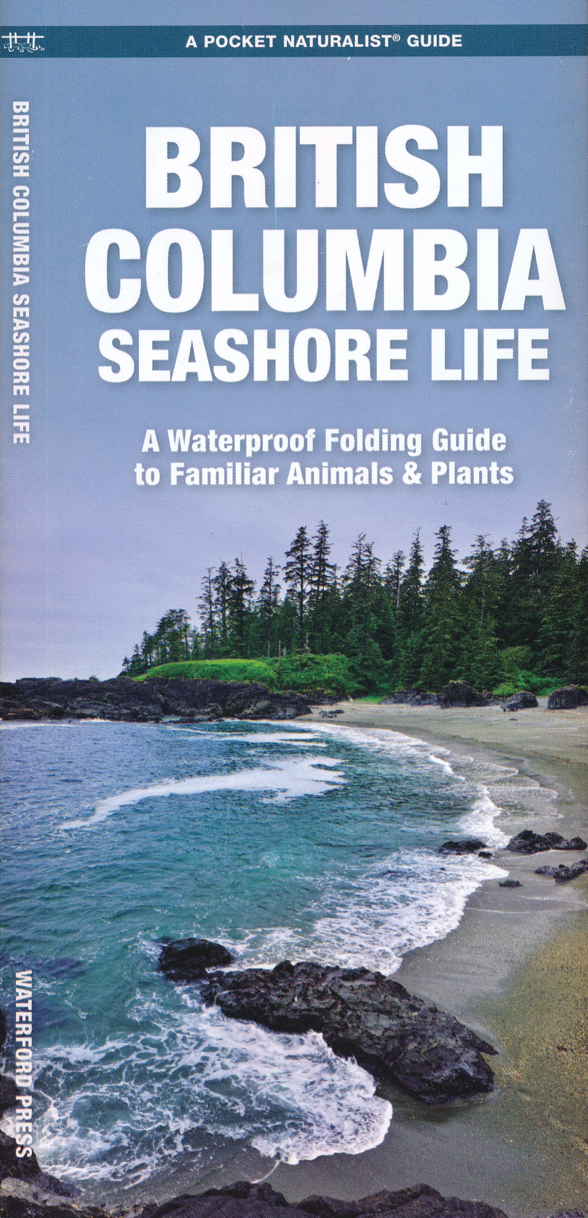
- Vogelgids - Natuurgids British Columbia Birds | Waterford Press
- British Columbia Birds, An Introduction to Familiar Species, is a must-have, reference guide for beginners and experts alike. This guide covers birding hotspots and sanctuaries. Whether you're on a nature hike or in your own backyard, you'll want to take along a copy of this indispensable guide. The Pocket Naturalist series is an introduction... Read more

De Zwerver
Netherlands
Netherlands
- Natuurgids Australia's Dangerous Animals | Waterford Press
- Een bijzonder handige uitklapkaart met de meest voorkomende gevaarlijke dieren van Australië. Duidelijke illustraties, goede korte omschrijving van soort en leefgebied, geplastificeerd. One of the most the most dangerous places for humans to live on earth, Australia is home to a variety of creatures that can severely injure humans on land and... Read more

De Zwerver
Netherlands
Netherlands
- Natuurgids - Vogelgids Yellowstone Wildlife | Waterford Press
- Een bijzonder handige uitklapkaart met alle veelvoorkomende dieren van Yellowstone National Park. Duidelijke illustraties, goede korte omschrijving van soort en leefgebied, geplastificeerd. Astounding geology, unusual wildlife and spectacular scenery are but a few of the amazing attractions of this special area that is home to America's first... Read more
De Zwerver
Netherlands
Netherlands
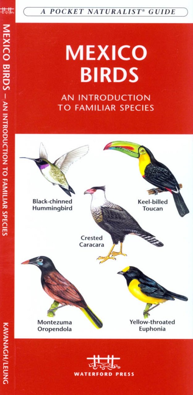
- Vogelgids - Natuurgids Mexico Birds | Waterford Press
- Mexico Birds is the perfect pocket-sized, folding guide for the bird lover and travelling nature enthusiast. This beautifully illustrated guide highlights over 164 familiar species and includes a map featuring prominent country-wide birding destinations including Veracruz, considered one of the world's prime birding hotspots. Laminated for... Read more
De Zwerver
Netherlands
2016
Netherlands
2016
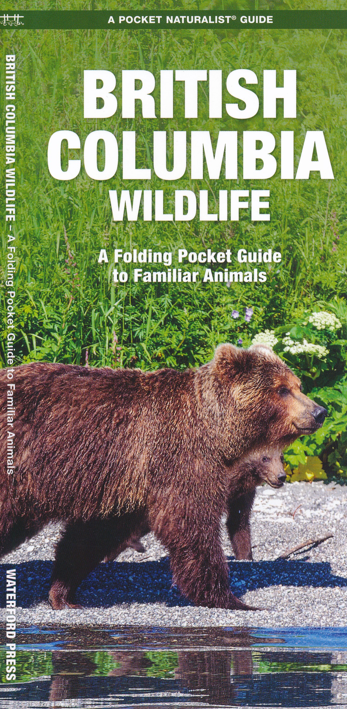
- Natuurgids British Columbia Wildlife | Waterford Press
- British Columbia Wildlife, An Introduction to Familiar Species, is a must-have reference guide for beginners and experts alike. Whether you're on a nature hike or taking a stroll in your neighborhood, you'll want to take along a copy of this indispensable guide. The Pocket Naturalist series is an introduction to common plants and animals and... Read more
De Zwerver
Netherlands
Netherlands
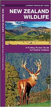
- Natuurgids New Zealand wildlife | Waterford Press
- Een bijzonder handige uitklapkaart met alle veelvoorkomende dieren van Nieuw Zeeland. Duidelijke illustraties, goede korte omschrijving van soort en leefgebied, geplastificeerd. The unique, dinosaur-like, tuatara is one of thousands of species of animals inhabiting the diverse ecosystems found thoughout New Zealand, many endemic to the islands.... Read more
Kaarten
De Zwerver
Netherlands
Netherlands
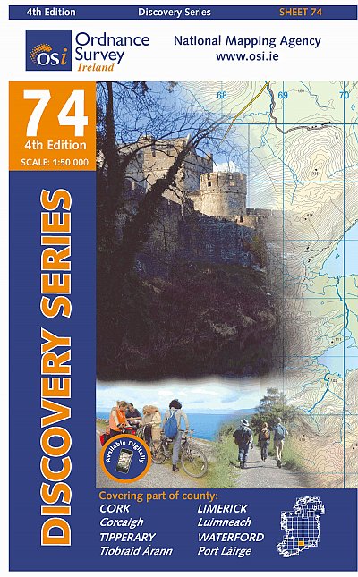
- Topografische kaart - Wandelkaart 74 Discovery Cork, Limerick, Tipperary, Waterford | Ordnance Survey Ireland
- Zeer gedetailleerde topografische kaart met een aantal toegevoegde toeristische symbolen voor bijv. bezienswaardigheden, campings en jeugdherbergen. Met hoogtelijnen, mooi kleurgebruik en ingetekende lange-afstands-wandelroutes. Op deze kaart zijn de nationale parken en de 'national reserves ' uitstekend te vinden. De kaart is dus zowel voor de... Read more
De Zwerver
Netherlands
Netherlands
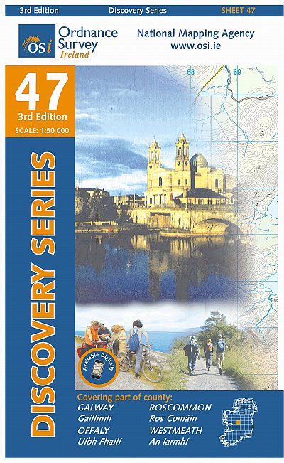
- Topografische kaart - Wandelkaart 47 Discovery Galway, Offaly, Roscommon, Westmeath | Ordnance Survey Ireland
- Zeer gedetailleerde topografische kaart met een aantal toegevoegde toeristische symbolen voor bijv. bezienswaardigheden, campings en jeugdherbergen. Met hoogtelijnen, mooi kleurgebruik en ingetekende lange-afstands-wandelroutes. Op deze kaart zijn de nationale parken en de 'national reserves ' uitstekend te vinden. De kaart is dus zowel voor de... Read more

De Zwerver
Netherlands
Netherlands
- Wandelkaart - Wegenkaart - landkaart 7 Westelijke Rhodopen - Western Rhodopes | Domino
- Western Rhodope Mountains at 1:100,000 on a contoured GPS compatible map from Domino extending from just west of the Pirin National Park to Asenovgrad in the north-east. The map is double-sided with a good overlap between the sides. Topography is shown by contours at 50m intervals with relief shading and spot heights, plus colouring for... Read more
- Also available from:
- Stanfords, United Kingdom

Stanfords
United Kingdom
United Kingdom
- Western Rhodope Mountains Domino Map
- Western Rhodope Mountains at 1:100,000 on a contoured GPS compatible map from Domino extending from just west of the Pirin National Park to Asenovgrad in the north-east. The map is double-sided with a good overlap between the sides. Topography is shown by contours at 50m intervals with relief shading and spot heights, plus colouring for... Read more

De Zwerver
Netherlands
Netherlands
- Wandelkaart 1 Stara Planina gebergte | Domino
- Stara Planina Central: Zlatitsa to Kalofer map at 1:50,000 from Bulgarian publishers Domino, contoured and GPS compatible, with hiking trails, accommodation options including a list of local mountain refuges, etc. The map is double-sided and covers the mountains from just west of Ribaritsa and Zlatitsa eastwards beyond Kalofer to the peak of... Read more
- Also available from:
- Stanfords, United Kingdom

Stanfords
United Kingdom
United Kingdom
- Stara Planina Central: Zlatitsa to Kalofer Domino Map
- Stara Planina Central: Zlatitsa to Kalofer map at 1:50,000 from Bulgarian publishers Domino, contoured and GPS compatible, with hiking trails, accommodation options including a list of local mountain refuges, etc. The map is double-sided and covers the mountains from just west of Ribaritsa and Zlatitsa eastwards beyond Kalofer to the peak of... Read more
De Zwerver
Netherlands
Netherlands
- Wandelkaart 26 Discoverer Lough Allen | Ordnance Survey Northern Ireland
- Zeer gedetailleerde topografische kaart met een aantal toegevoegde toeristische symbolen voor bijv. bezienswaardigheden, campings en jeugdherbergen. Met hoogtelijnen, mooi kleurgebruik en ingetekende lange-afstands-wandelroutes. Op deze kaart zijn de nationale parken en de 'national reserves ' uitstekend te vinden. De kaart is dus zowel voor de... Read more
De Zwerver
Netherlands
Netherlands
- Topografische kaart - Wandelkaart 53 Discovery Clare, Galway, Offaly, Tipperary | Ordnance Survey Ireland
- Map No. 53, Galway South-East - Offaly West - Tipperary North in the Discovery series from the OSI, the Ordnance Survey of Ireland, which presents the country on detailed topographic maps at 1:50,000, with additional overprint highlighting campsites and caravan parks, youth hostels, etc. Current 3rd edition of this map was published in October... Read more

De Zwerver
Netherlands
Netherlands
- Wandelkaart 2 Stara Planina gebergte | Domino
- Stara Planina Central: Uzana to Vratnik map at 1:50,000 from Bulgarian publishers Domino, contoured and GPS compatible, with hiking trails, accommodation options including a list of local mountain refuges, etc. The map is double-sided and covers the mountains from just west of the Uzana massif, the geographical centre of Bulgaria, eastwards to... Read more
- Also available from:
- Stanfords, United Kingdom

Stanfords
United Kingdom
United Kingdom
- Stara Planina Central: Uzana to Vratnik Domino Map
- Stara Planina Central: Uzana to Vratnik map at 1:50,000 from Bulgarian publishers Domino, contoured and GPS compatible, with hiking trails, accommodation options including a list of local mountain refuges, etc. The map is double-sided and covers the mountains from just west of the Uzana massif, the geographical centre of Bulgaria, eastwards to... Read more
De Zwerver
Netherlands
Netherlands
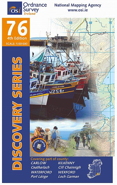
- Topografische kaart - Wandelkaart 76 Discovery Carlow, Kilkenny, Waterford, Wexford | Ordnance Survey Ireland
- Map No. 76, Kilkenny South-East - Wexford South-West in the Discovery series from the OSI, the Ordnance Survey of Ireland, which presents the country on detailed topographic maps at 1:50,000, with additional overprint highlighting campsites and caravan parks, youth hostels, etc. Current 4th edition of this map was published in April 2013.Maps... Read more
- Also available from:
- Stanfords, United Kingdom

Stanfords
United Kingdom
United Kingdom
- Carlow - Kilkenny - Waterford - Wexford OSI Discovery 76
- Map No. 76, Kilkenny South-East - Wexford South-West in the Discovery series from the OSI, the Ordnance Survey of Ireland, which presents the country on detailed topographic maps at 1:50,000, with additional overprint highlighting campsites and caravan parks, youth hostels, etc. Current 4th edition of this map was published in April 2013.Maps... Read more

De Zwerver
Netherlands
Netherlands
- Wandelkaart 3 Stara Planina gebergte | Domino
- Stara Planina Western: Belogradchik to Berkovita map at 1:50,000 from Bulgarian publishers Domino, contoured and GPS compatible, with hiking trails, accommodation options including a list of local mountain refuges, etc. The map is double-sided and covers the mountains from the peak of Byala Voda near Belogradchik eastwards to just beyond... Read more
- Also available from:
- Stanfords, United Kingdom

Stanfords
United Kingdom
United Kingdom
- Stara Planina Western: Belogradchik to Berkovita Domino Map
- Stara Planina Western: Belogradchik to Berkovita map at 1:50,000 from Bulgarian publishers Domino, contoured and GPS compatible, with hiking trails, accommodation options including a list of local mountain refuges, etc. The map is double-sided and covers the mountains from the peak of Byala Voda near Belogradchik eastwards to just beyond... Read more

De Zwerver
Netherlands
Netherlands
- Wandelkaart 4 Stara Planina gebergte | Domino
- Stara Planina Western: Berkovita to Zlatitsa map at 1:50,000 from Bulgarian publishers Domino, contoured and GPS compatible, with hiking trails, accommodation options including a list of local mountain refuges, etc. The map is double-sided and covers the mountains from Varshets (directly north of Sofia) to just beyond Etrepole.Maps in the... Read more
- Also available from:
- Stanfords, United Kingdom

Stanfords
United Kingdom
United Kingdom
- Stara Planina Western: Berkovita to Zlatitsa Domino Map
- Stara Planina Western: Berkovita to Zlatitsa map at 1:50,000 from Bulgarian publishers Domino, contoured and GPS compatible, with hiking trails, accommodation options including a list of local mountain refuges, etc. The map is double-sided and covers the mountains from Varshets (directly north of Sofia) to just beyond Etrepole.Maps in the... Read more