
GR50 - Tour des Écrins
Beschrijving
- Name GR50 - Tour des Écrins (GR50)
- Lengte van pad 300 km, 186 mijl
- Lengte in dagen 15 dagen
- Start van pad Saint-Michel-de-Chaillol
- Einde van pad Huez
- Traildino graad SW, Inspannende wandeling, bergpad
- Huttentrektocht graad T2, Bergtocht


50
 Écrins, 20 days
This trail circles around the Parc National des Écrins, France's oldest national park. The walk is less demanding than the GR54. The highest point is 2365 m.
Kaart

Links
Feiten
Verslagen
Gidsen en kaarten
Overnachting
Organisaties
Reisorganisaties
GPS
Anders
Boeken

Stanfords
United Kingdom
2021
United Kingdom
2021
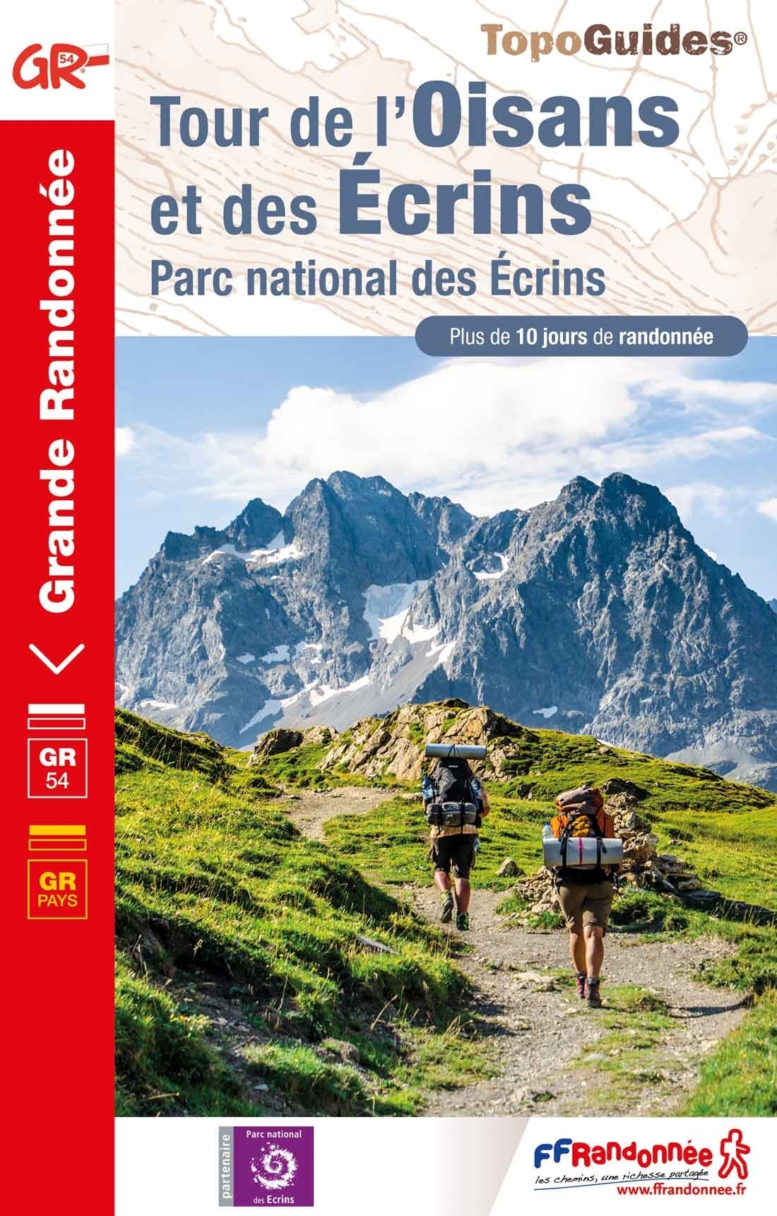
- Tour de l`Oisans et des Ecrins - Parc National des Ecrins GR54/GR541
- Tour de l`Oisans et des Ecrins, FFRP topoguide, Ref. No. 508, covering the 11 to 13 days long tour of the Ecrins massif along the GR54, including the local section of the GR5. Variants along GRs 54A, 54B, 54C, and 541 offer less demanding circuits of two to three days. Current edition of this title was published in April 2014.To see other... Read more
Kaarten

De Zwerver
Netherlands
2024
Netherlands
2024

Stanfords
United Kingdom
2012
United Kingdom
2012
- Écrins Massif National Park Didier Richard 05
- Écrins Massif and the National Park in the French Alps at 1:60,000 on a contoured and GPS compatible map from Didier Richard with a base derived from IGN’s topographic survey, highlighting both local hiking routes and the GR network of long-distance paths, gîtes and mountain refuges, interesting natural and cultural sites, etc. The map extends... Read more