
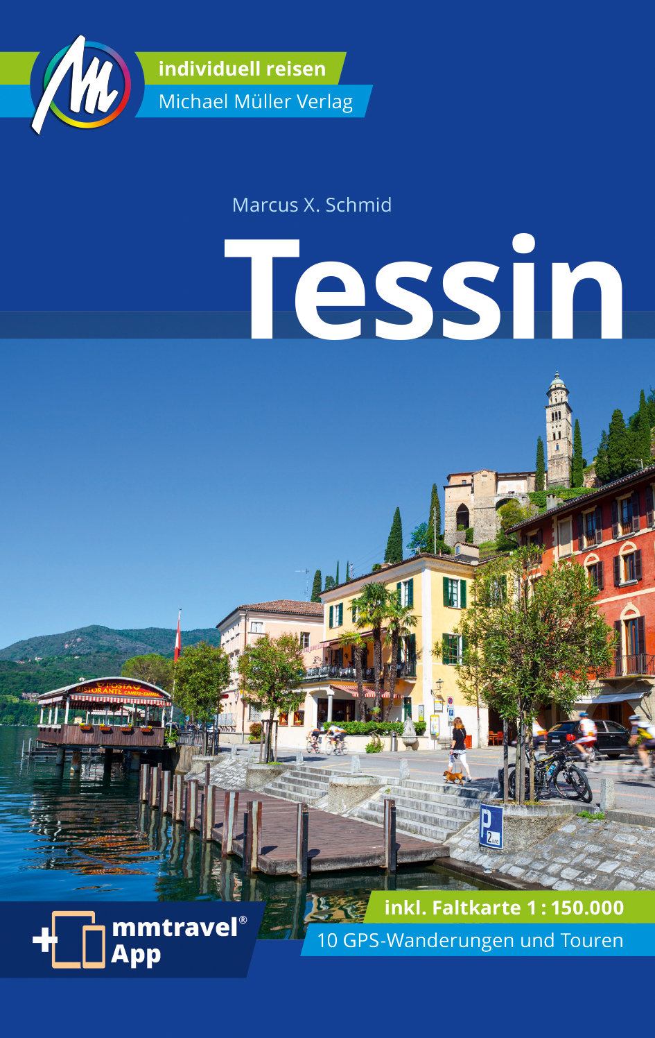
Ticino
Beschrijving
Kaart

Paden in deze regio
Links
Feiten
Verslagen
Gidsen en kaarten
Overnachting
Organisaties
Reisorganisaties
GPS
Anders
Boeken
De Zwerver
Netherlands
2016
Netherlands
2016
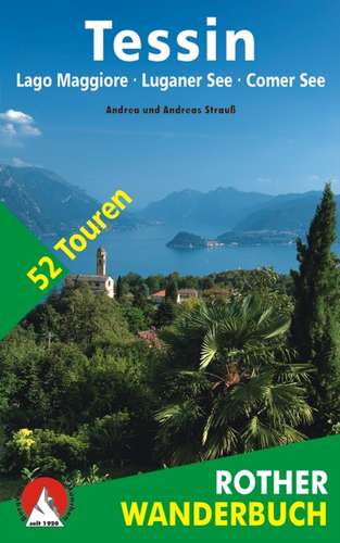
- Wandelgids Tessin | Rother Bergverlag
- De ‘Rother Wanderbücher’ behandelen telkens de 50 mooiste wandelingen, die variëren van eenvoudige kindvriendelijke wandelingen tot routes die aanzienlijk meer ervaring vereisen. Uitvoerige routebeschrijvingen, een aantrekkelijke lay-out met vele kleurenfoto’s, niets aan duidelijkheid te wensen gelaten hoogteprofielen, kaartjes met de... Read more
De Zwerver
Netherlands
2022
Netherlands
2022
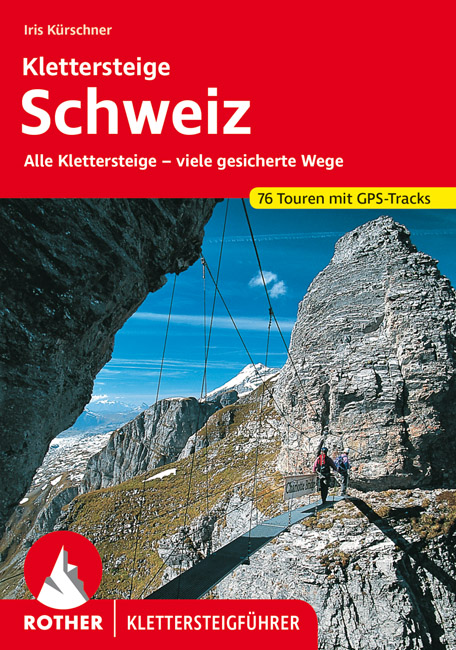
- Klimgids - Klettersteiggids Klettersteige Schweiz | Rother Bergverlag
- Alle 42 Klettersteige sowie die 24 schönsten gesicherten Wege, darunter eine 5-Tages-Tour Rother Wanderführer. 4., erweiterte und aktualisierte Auflage. Read more

De Zwerver
Netherlands
2009
Netherlands
2009
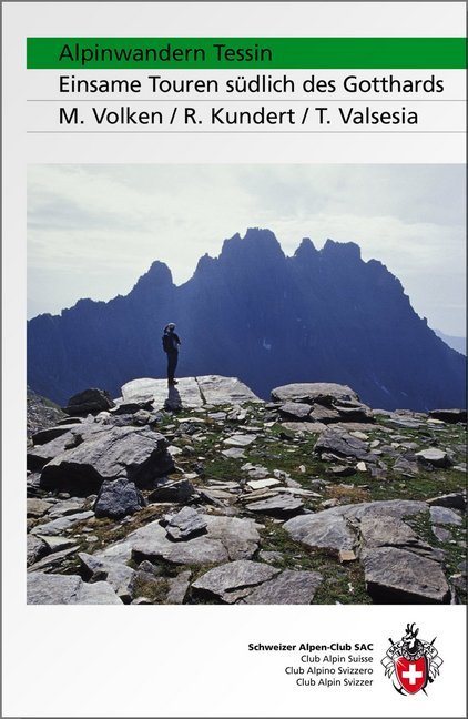
- Wandelgids Alpinwandern Tessin | SAC Schweizer Alpenclub
- Bergwandelgids voor Tessin. De gids beschrijft een groot aantal wandel routes door de Zwitserse Alpen in Tessin in verschillende etappes. De etappes zijn te combineren in rondwandelingen en diverse lange afstands tochten. De moeilijkheidsgraad van elke alpine tocht wordt aangegeven en verder geeft de gids ook een keur aan praktische informatie,... Read more
De Zwerver
Netherlands
2014
Netherlands
2014
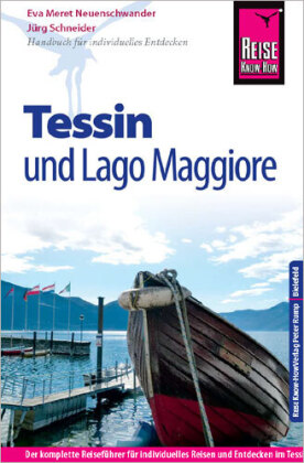
- Opruiming - Reisgids Tessin mit Lago Maggiore | Reise Know-How Verlag
- Reise Know-How is een duitstalige praktische reisgids voor alle leeftijden, boordevol informatie over accommodatie van budget tot luxe, vervoer en plaatsbeschrijvingen. Kenmerk : brede cultuur en achtergrondinformatie, bondig geschreven. -Ausstattung: komplett in Farbe, über 120 Fotos, 13 detaillierte Karten und Ortspläne; Sprachhilfe... Read more
De Zwerver
Netherlands
2012
Netherlands
2012
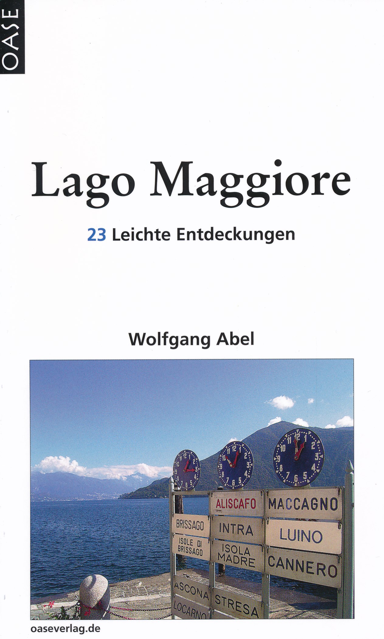
- Reisgids Lago Maggiore | Oase Verlag
- 23 Leichte Entdeckungen. 6. Auflage 2012. Read more
De Zwerver
Netherlands
2022
Netherlands
2022
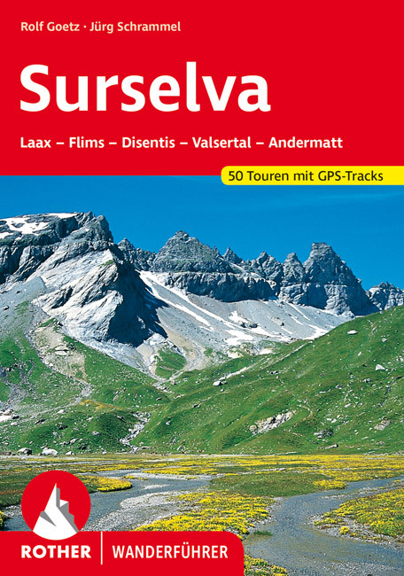
- Wandelgids Surselva | Rother Bergverlag
- Uitstekende wandelgids met een groot aantal dagtochten in dal en hooggebergte. Met praktische informatie en beperkt kaartmateriaal! Wandelingen in verschillende zwaarte weergegeven in rood/blauw/zwart. Die Surselva, auch bekannt unter den Bezeichnungen ",Bündner Oberland" oder "Vorderrheintal", ist außerhalb der Schweiz noch... Read more

De Zwerver
Netherlands
2017
Netherlands
2017
- Wandelgids 411 Kautokeino - Nordkap E1 | Conrad Stein Verlag
- Handzaam boekje met de routebeschrijving inclusief een heleboel praktische informatie. De beschrijving is uitstekend, maar kaarten zijn wat beperkt. Duits. Die 330 km lange Wanderung auf dem E1 von Kautokeino zum Nordkap ist ein unvergessliches Wanderabenteuer. In 15 Etappen laufen Sie durch die Wildnis Nordnorwegens und überqueren die... Read more

De Zwerver
Netherlands
2022
Netherlands
2022


Meer boeken…

Kaarten
De Zwerver
Netherlands
Netherlands
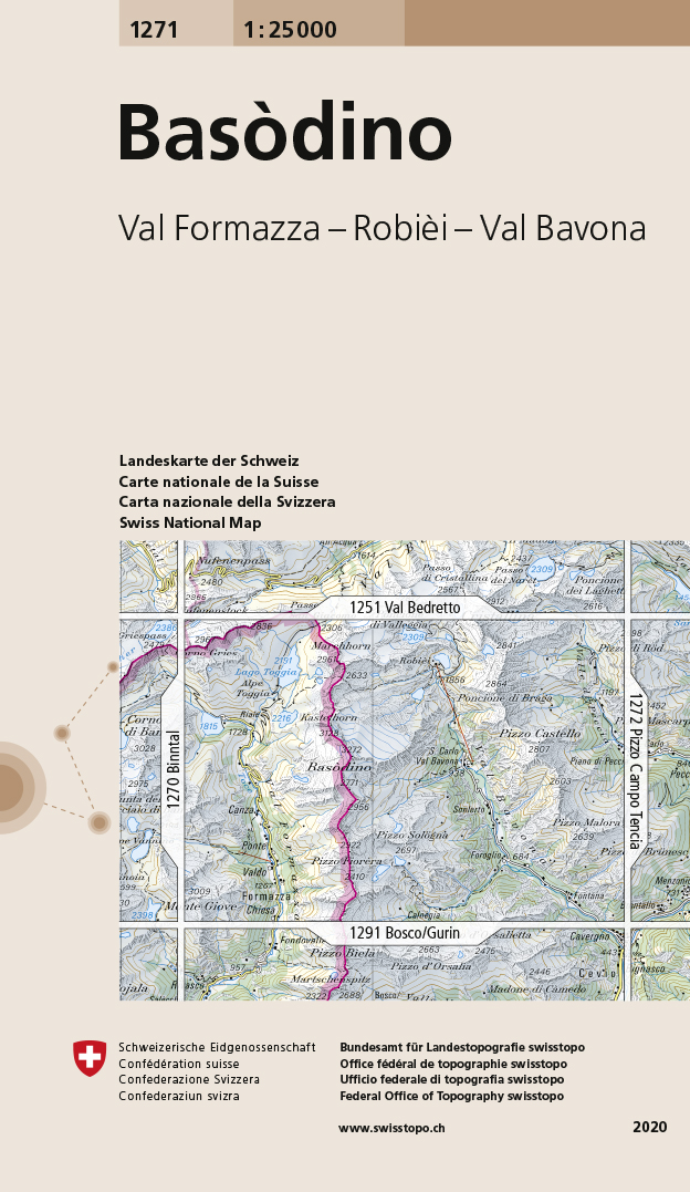
- Wandelkaart - Topografische kaart 1271 Basòdino | Swisstopo
- Zeer gedetailleerde wandelkaart van een deel van Zwitserland. De topografische details van deze kaarten zijn onovertroffen; de werkelijkheid is perfect weergegeven op deze kaart van uitzonderlijk hoog niveau. Ze zijn geschikt voor alle soorten gebruik: voor eenvoudige wandeltochten in simpel terrein tot zware bergtochten en beklimmingen van de... Read more
- Also available from:
- Stanfords, United Kingdom

Stanfords
United Kingdom
United Kingdom
- Basòdino Swisstopo 1271
- Map No. 1271, Basòdino, in the topographic survey of Switzerland at 1:25,000 from Bundesamt für Landestopographie (swisstopo), covering the whole country on 247 small format sheets, with special larger maps published for popular regions including some titles now available in hiking versions.Highly regarded for their superb use of graphic relief... Read more
De Zwerver
Netherlands
Netherlands
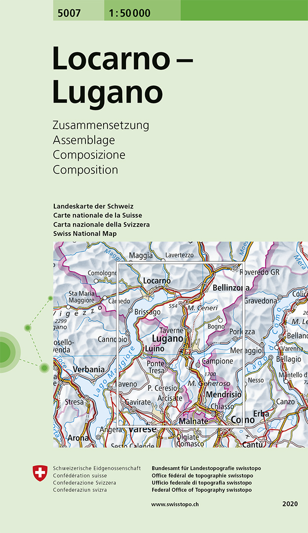
- Wandelkaart - Topografische kaart 5007 Locarno - Lugano | Swisstopo
- Locarno - Lugano area, map No. 5007, in the standard topographic survey of Switzerland at 1:50,000 from Swisstopo, i.e. without the special overprint highlighting walking trails, local bus stops, etc, presented in Swisstopo Read more
- Also available from:
- Stanfords, United Kingdom

Stanfords
United Kingdom
United Kingdom
- Locarno - Lugano Swisstopo 5007
- Locarno - Lugano area, map No. 5007, in the standard topographic survey of Switzerland at 1:50,000 from Swisstopo, i.e. without the special overprint highlighting walking trails, local bus stops, etc, presented in Swisstopo’s hiking editions of the 50K survey. Highly regarded for their superb use of graphic relief and hill shading, the maps... Read more
De Zwerver
Netherlands
Netherlands
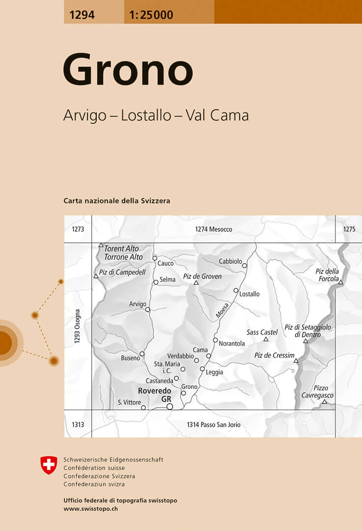
- Wandelkaart - Topografische kaart 1294 Grono | Swisstopo
- Map No. 1294, Grono, in the topographic survey of Switzerland at 1:25,000 from Bundesamt f Read more
- Also available from:
- Stanfords, United Kingdom

Stanfords
United Kingdom
United Kingdom
- Grono Swisstopo 1294
- Map No. 1294, Grono, in the topographic survey of Switzerland at 1:25,000 from Bundesamt für Landestopographie (swisstopo), covering the whole country on 247 small format sheets, with special larger maps published for popular regions including some titles now available in hiking versions.Highly regarded for their superb use of graphic relief... Read more
De Zwerver
Netherlands
Netherlands
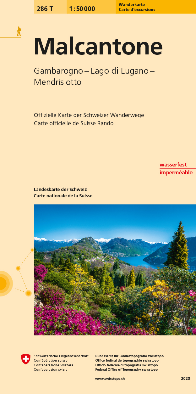
- Wandelkaart 286T Malcantone | Swisstopo
- Malcantone area, map No. 286T, at 1:50,000 in a special hiking edition of the country Read more
- Also available from:
- Stanfords, United Kingdom

Stanfords
United Kingdom
United Kingdom
- Malcantone Swisstopo Hiking 286T
- Malcantone area, map No. 286T, at 1:50,000 in a special hiking edition of the country’s topographic survey, published by Swisstopo in cooperation with the Swiss Hiking Federation. Cartography, identical to the standard version of the survey, is highly regarded for its superb use of graphic relief and hill shading to provide an almost 3-D... Read more
De Zwerver
Netherlands
Netherlands
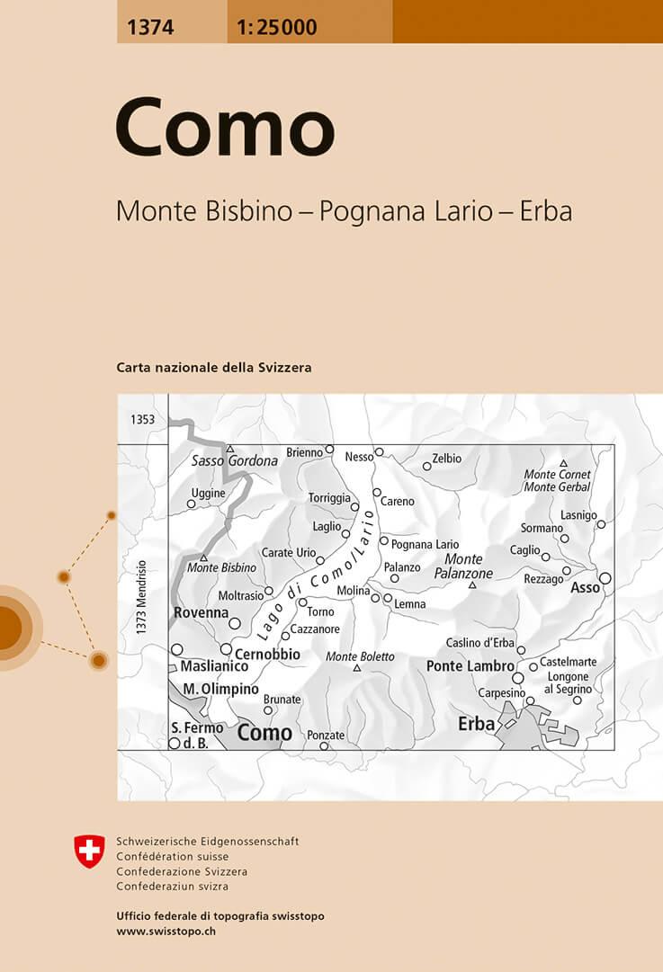
- Wandelkaart - Topografische kaart 1374 Como | Swisstopo
- Map No. 1374, Como, in the topographic survey of Switzerland at 1:25,000 from Bundesamt f Read more
- Also available from:
- Stanfords, United Kingdom

Stanfords
United Kingdom
United Kingdom
- Como Swisstopo 1374
- Map No. 1374, Como, in the topographic survey of Switzerland at 1:25,000 from Bundesamt für Landestopographie (swisstopo), covering the whole country on 247 small format sheets, with special larger maps published for popular regions including some titles now available in hiking versions.Highly regarded for their superb use of graphic relief and... Read more
De Zwerver
Netherlands
Netherlands
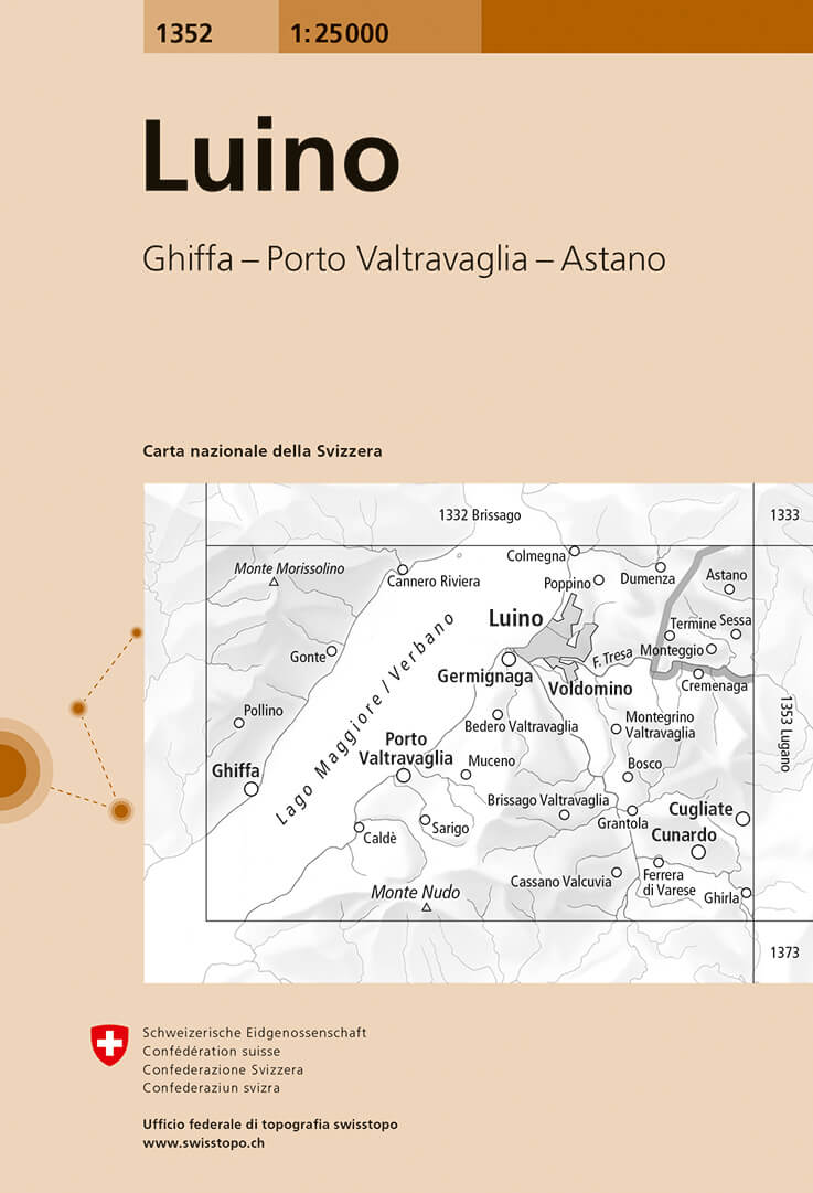
- Wandelkaart - Topografische kaart 1352 Luino | Swisstopo
- Map No. 1352, Luino, in the topographic survey of Switzerland at 1:25,000 from Bundesamt f Read more
- Also available from:
- Stanfords, United Kingdom
Stanfords
United Kingdom
United Kingdom
- Luino Swisstopo 1352
- Map No. 1352, Luino, in the topographic survey of Switzerland at 1:25,000 from Bundesamt für Landestopographie (swisstopo), covering the whole country on 247 small format sheets, with special larger maps published for popular regions including some titles now available in hiking versions.Highly regarded for their superb use of graphic relief... Read more
De Zwerver
Netherlands
Netherlands
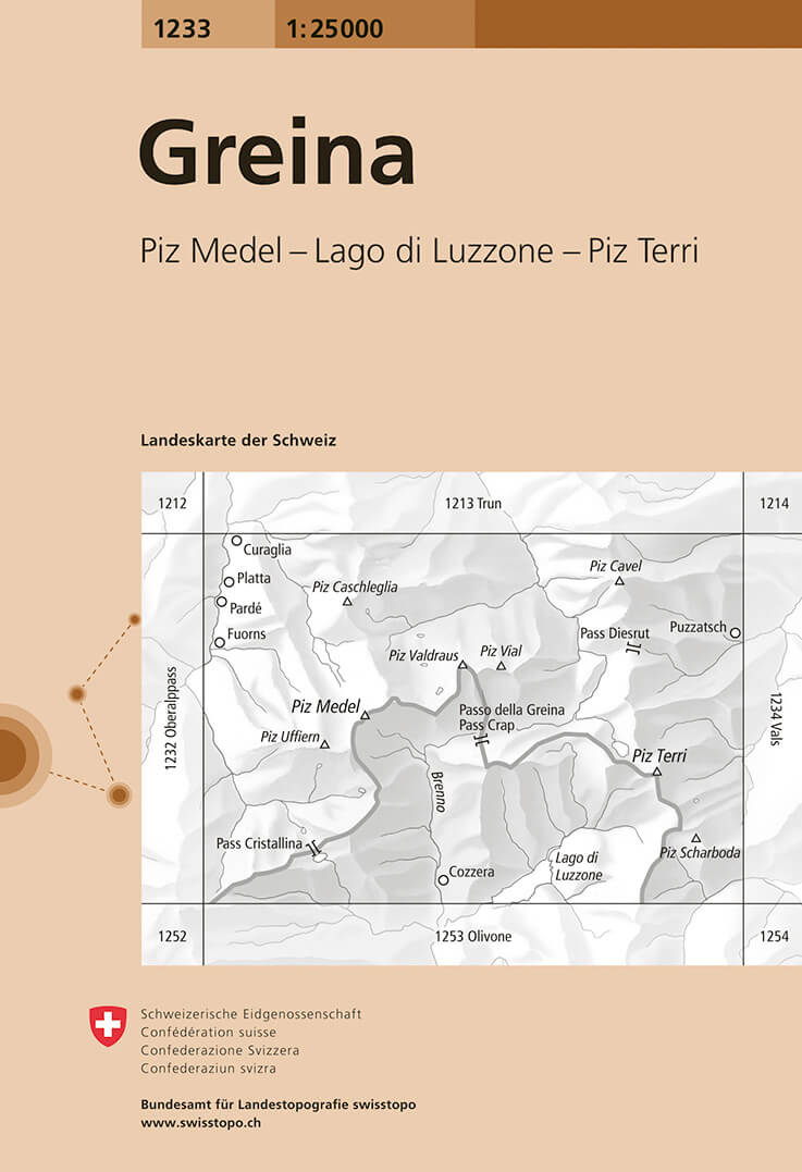
- Wandelkaart - Topografische kaart 1233 Greina | Swisstopo
- Map No. 1233, Greina, in the topographic survey of Switzerland at 1:25,000 from Bundesamt f Read more
- Also available from:
- Stanfords, United Kingdom

Stanfords
United Kingdom
United Kingdom
- Greina Swisstopo 1233
- Map No. 1233, Greina, in the topographic survey of Switzerland at 1:25,000 from Bundesamt für Landestopographie (swisstopo), covering the whole country on 247 small format sheets, with special larger maps published for popular regions including some titles now available in hiking versions.Highly regarded for their superb use of graphic relief... Read more
De Zwerver
Netherlands
Netherlands
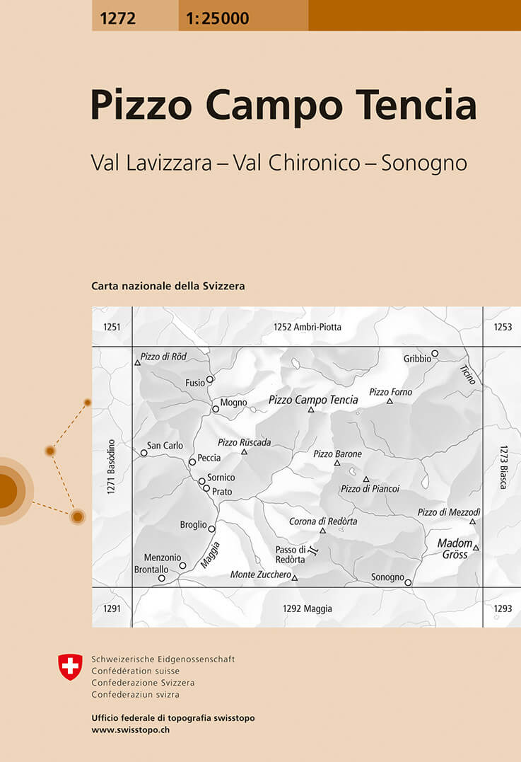
- Wandelkaart - Topografische kaart 1272 Pizzo Campo Tencia | Swisstopo
- Map No. 1272, P. Campo Tencia, in the topographic survey of Switzerland at 1:25,000 from Bundesamt f Read more
- Also available from:
- Stanfords, United Kingdom

Stanfords
United Kingdom
United Kingdom
- Pizzo Campo Tencia Swisstopo 1272
- Map No. 1272, P. Campo Tencia, in the topographic survey of Switzerland at 1:25,000 from Bundesamt für Landestopographie (swisstopo), covering the whole country on 247 small format sheets, with special larger maps published for popular regions including some titles now available in hiking versions.Highly regarded for their superb use of graphic... Read more
De Zwerver
Netherlands
Netherlands
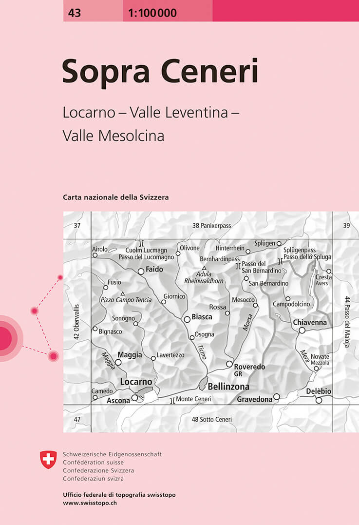
- Fietskaart - Topografische kaart - Wegenkaart - landkaart 43 Sopra Ceneri | Swisstopo
- Map No. 43, Sopra Ceneri, in the Swiss topographic survey at 1:100,000 published in 23 standard sheets (Nos. 26 - 48), with special larger maps centred on popular tourist destinations (Nos. 101 - 111). Swiss survey maps are highly regarded for their superb use of graphic relief and hill shading, presenting an almost 3-D picture of the country's... Read more
- Also available from:
- Stanfords, United Kingdom

Stanfords
United Kingdom
United Kingdom
- Sopra Ceneri Swisstopo 43
- Swiss topographic survey at 1:100,000 from Swisstopo, highly regarded for it superb use of graphic relief and hill shading, presenting an almost 3-D picture of the country`s mountainous terrain. Coverage is available either as small size standard sheets – Nos 26 to 48, each covering 70 x 48 km / 43 x 30 miles approx, or as larger size maps -... Read more
De Zwerver
Netherlands
Netherlands
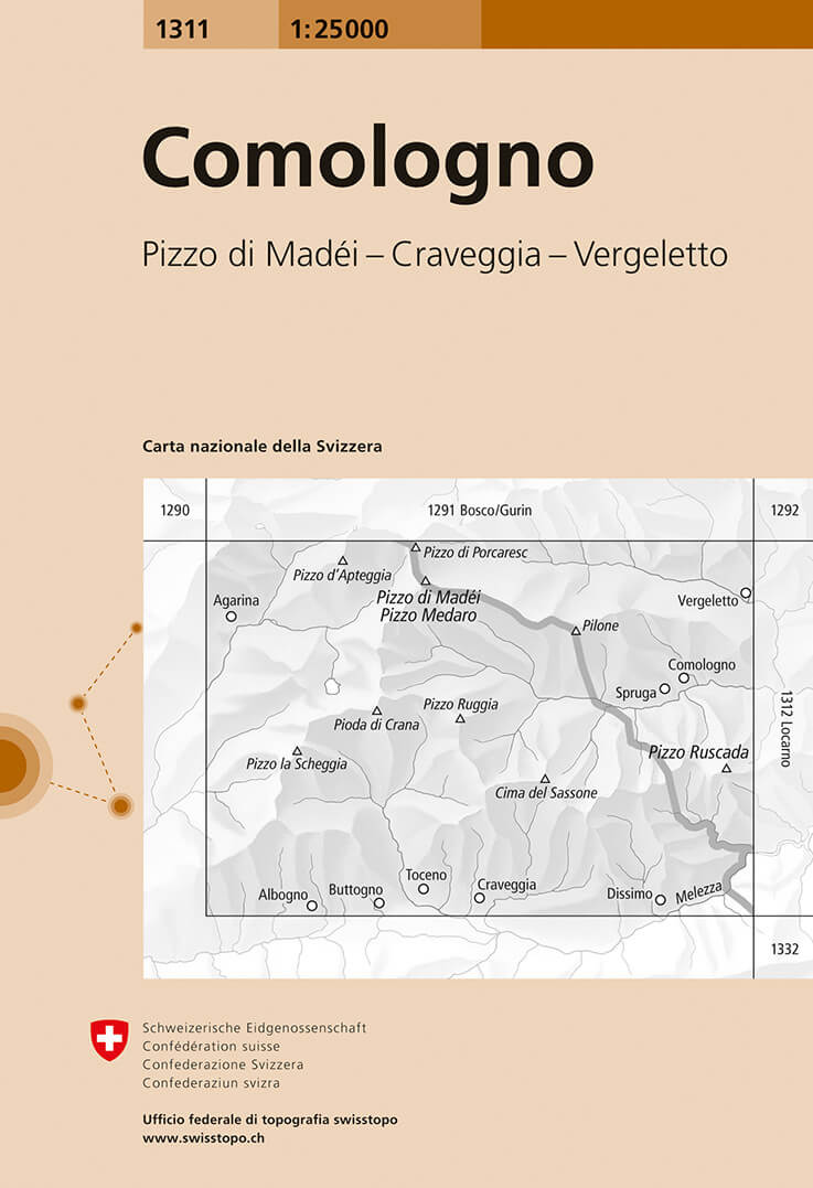
- Wandelkaart - Topografische kaart 1311 Comologno | Swisstopo
- Map No. 1311, Comologno, in the topographic survey of Switzerland at 1:25,000 from Bundesamt f Read more
- Also available from:
- Stanfords, United Kingdom
Stanfords
United Kingdom
United Kingdom
- Comologno Swisstopo 1311
- Map No. 1311, Comologno, in the topographic survey of Switzerland at 1:25,000 from Bundesamt für Landestopographie (swisstopo), covering the whole country on 247 small format sheets, with special larger maps published for popular regions including some titles now available in hiking versions.Highly regarded for their superb use of graphic... Read more
De Zwerver
Netherlands
2021
Netherlands
2021
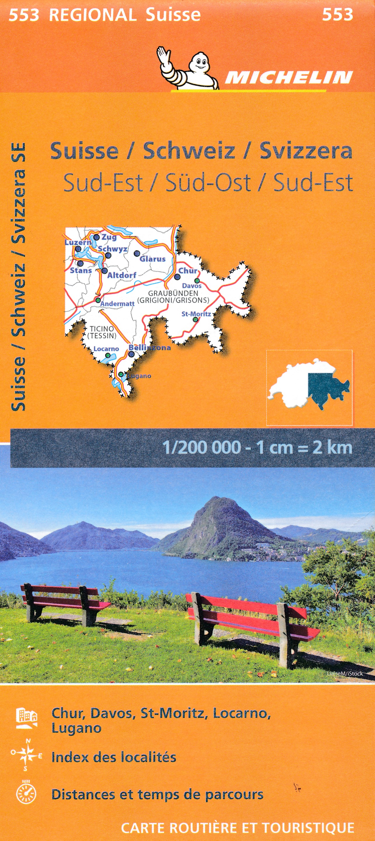
- Wegenkaart - landkaart 553 Zuidoost Zwitserland | Michelin
- Une carte fiable pour parcourir les régions d'Europe Read more
De Zwerver
Netherlands
Netherlands
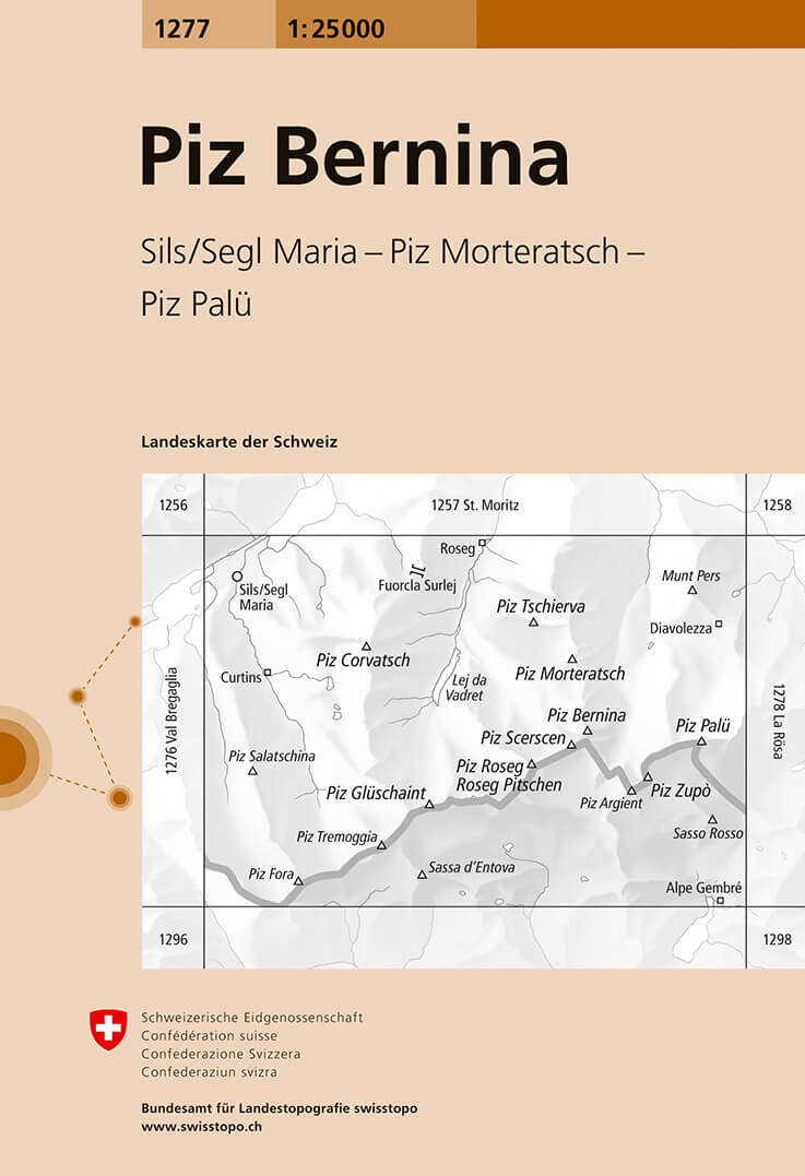
- Wandelkaart - Topografische kaart 1277 Piz Bernina | Swisstopo
- Map No. 1277, Piz Bernina, in the topographic survey of Switzerland at 1:25,000 from Bundesamt f Read more
- Also available from:
- Stanfords, United Kingdom

Stanfords
United Kingdom
United Kingdom
- Piz Bernina Swisstopo 1277
- Map No. 1277, Piz Bernina, in the topographic survey of Switzerland at 1:25,000 from Bundesamt für Landestopographie (swisstopo), covering the whole country on 247 small format sheets, with special larger maps published for popular regions including some titles now available in hiking versions.Highly regarded for their superb use of graphic... Read more
De Zwerver
Netherlands
Netherlands
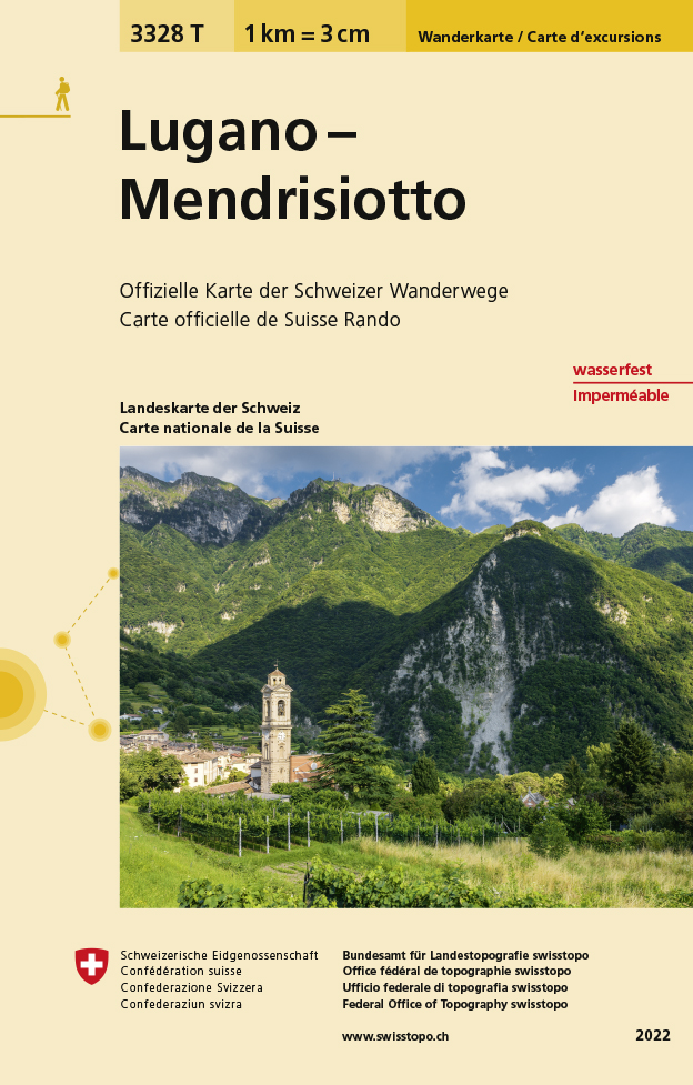
- Wandelkaart - Topografische kaart 3328T Lugano - Mendrisiotto | Swisstopo
- Lugano – Mendrisiotto area of Switzerland at 1:33,333 on light, waterproof and tear-resistant map No. 3328T published by Swisstopo in cooperation with the Swiss Hiking Federation. Cartography is the same as in Swisstopo’s 50K hiking maps, simply enlarged to 1:33,333 for extra clarity but without additional information. The title includes a... Read more
- Also available from:
- Stanfords, United Kingdom
Stanfords
United Kingdom
United Kingdom
- Lugano - Mendrisiotto Swisstopo Hiking 3328T
- Lugano – Mendrisiotto area of Switzerland at 1:33,333 on light, waterproof and tear-resistant map No. 3328T published by Swisstopo in cooperation with the Swiss Hiking Federation. Cartography is the same as in Swisstopo’s 50K hiking maps, simply enlarged to 1:33,333 for extra clarity but without additional information. The title includes a... Read more
De Zwerver
Netherlands
Netherlands
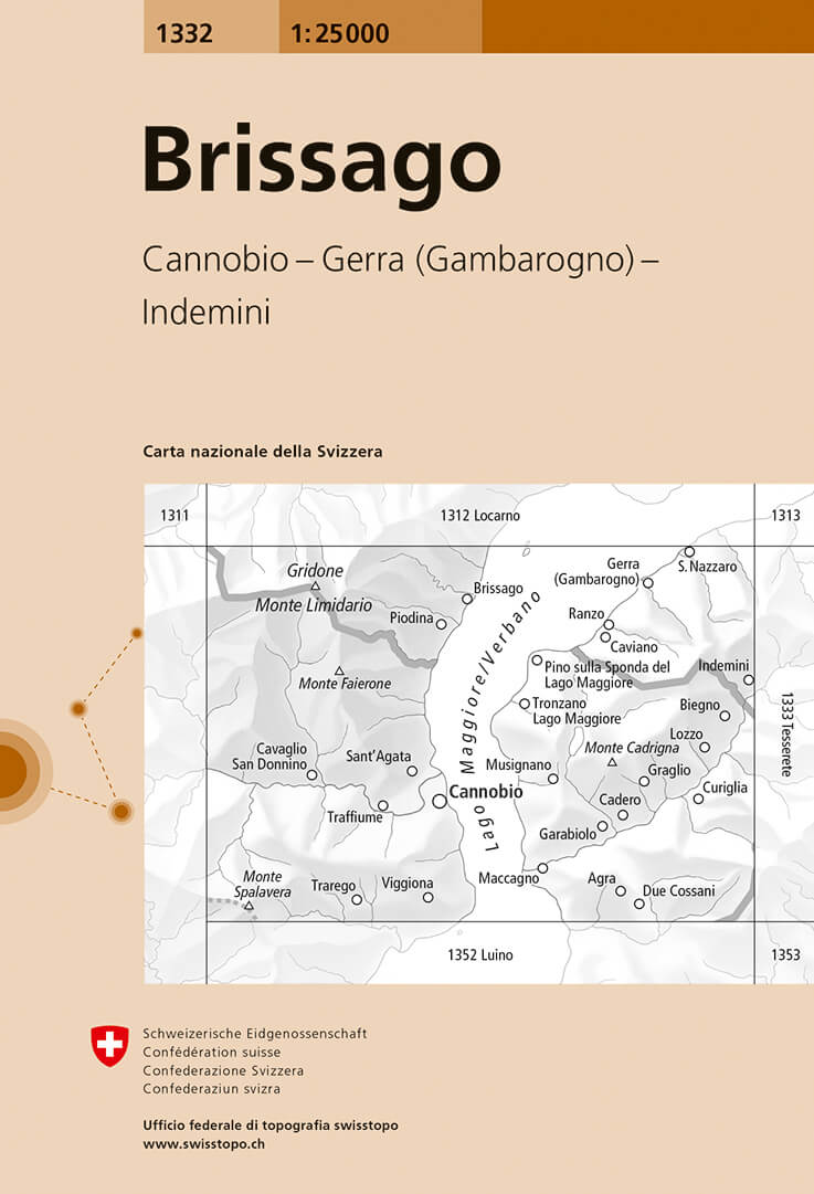
- Wandelkaart - Topografische kaart 1332 Brissago | Swisstopo
- Map No. 1332, Brissago, in the topographic survey of Switzerland at 1:25,000 from Bundesamt f Read more
- Also available from:
- Stanfords, United Kingdom
Stanfords
United Kingdom
United Kingdom
- Brissago Swisstopo 1332
- Map No. 1332, Brissago, in the topographic survey of Switzerland at 1:25,000 from Bundesamt für Landestopographie (swisstopo), covering the whole country on 247 small format sheets, with special larger maps published for popular regions including some titles now available in hiking versions.Highly regarded for their superb use of graphic relief... Read more
De Zwerver
Netherlands
Netherlands
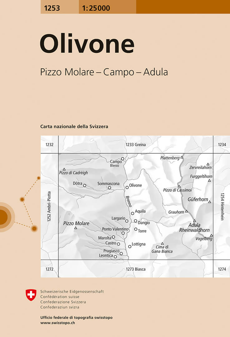
- Wandelkaart - Topografische kaart 1253 Olivone | Swisstopo
- Map No. 1253, Olivone, in the topographic survey of Switzerland at 1:25,000 from Bundesamt f Read more
- Also available from:
- Stanfords, United Kingdom
Stanfords
United Kingdom
United Kingdom
- Olivone Swisstopo 1253
- Map No. 1253, Olivone, in the topographic survey of Switzerland at 1:25,000 from Bundesamt für Landestopographie (swisstopo), covering the whole country on 247 small format sheets, with special larger maps published for popular regions including some titles now available in hiking versions.Highly regarded for their superb use of graphic relief... Read more