
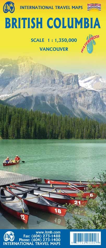
British Columbia
Beschrijving
Kaart

Paden in deze landsdeel
Links
Feiten
Verslagen
Gidsen en kaarten
Overnachting
Organisaties
Reisorganisaties
GPS
Anders
Boeken
De Zwerver
Netherlands
2023
Netherlands
2023
De Zwerver
Netherlands
2024
Netherlands
2024
De Zwerver
Netherlands
Netherlands
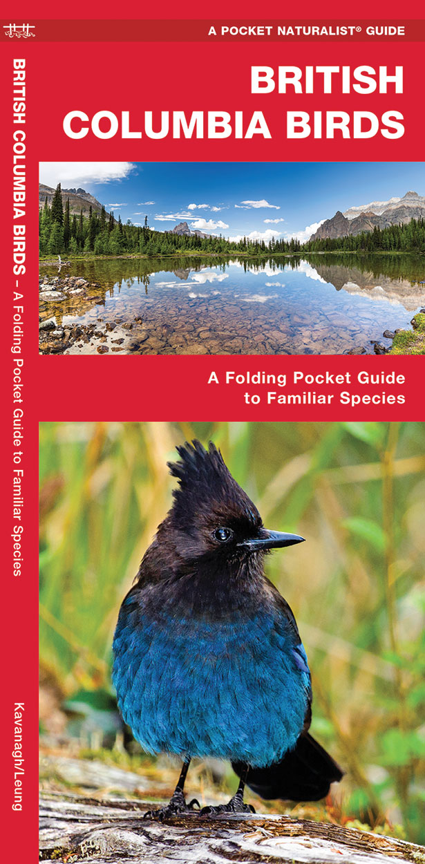
- Vogelgids - Natuurgids British Columbia Birds | Waterford Press
- British Columbia Birds, An Introduction to Familiar Species, is a must-have, reference guide for beginners and experts alike. This guide covers birding hotspots and sanctuaries. Whether you're on a nature hike or in your own backyard, you'll want to take along a copy of this indispensable guide. The Pocket Naturalist series is an introduction... Read more
De Zwerver
Netherlands
2016
Netherlands
2016
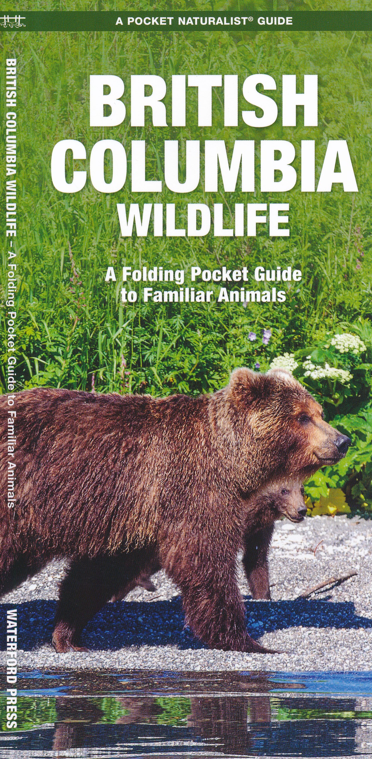
- Natuurgids British Columbia Wildlife | Waterford Press
- British Columbia Wildlife, An Introduction to Familiar Species, is a must-have reference guide for beginners and experts alike. Whether you're on a nature hike or taking a stroll in your neighborhood, you'll want to take along a copy of this indispensable guide. The Pocket Naturalist series is an introduction to common plants and animals and... Read more
De Zwerver
Netherlands
Netherlands
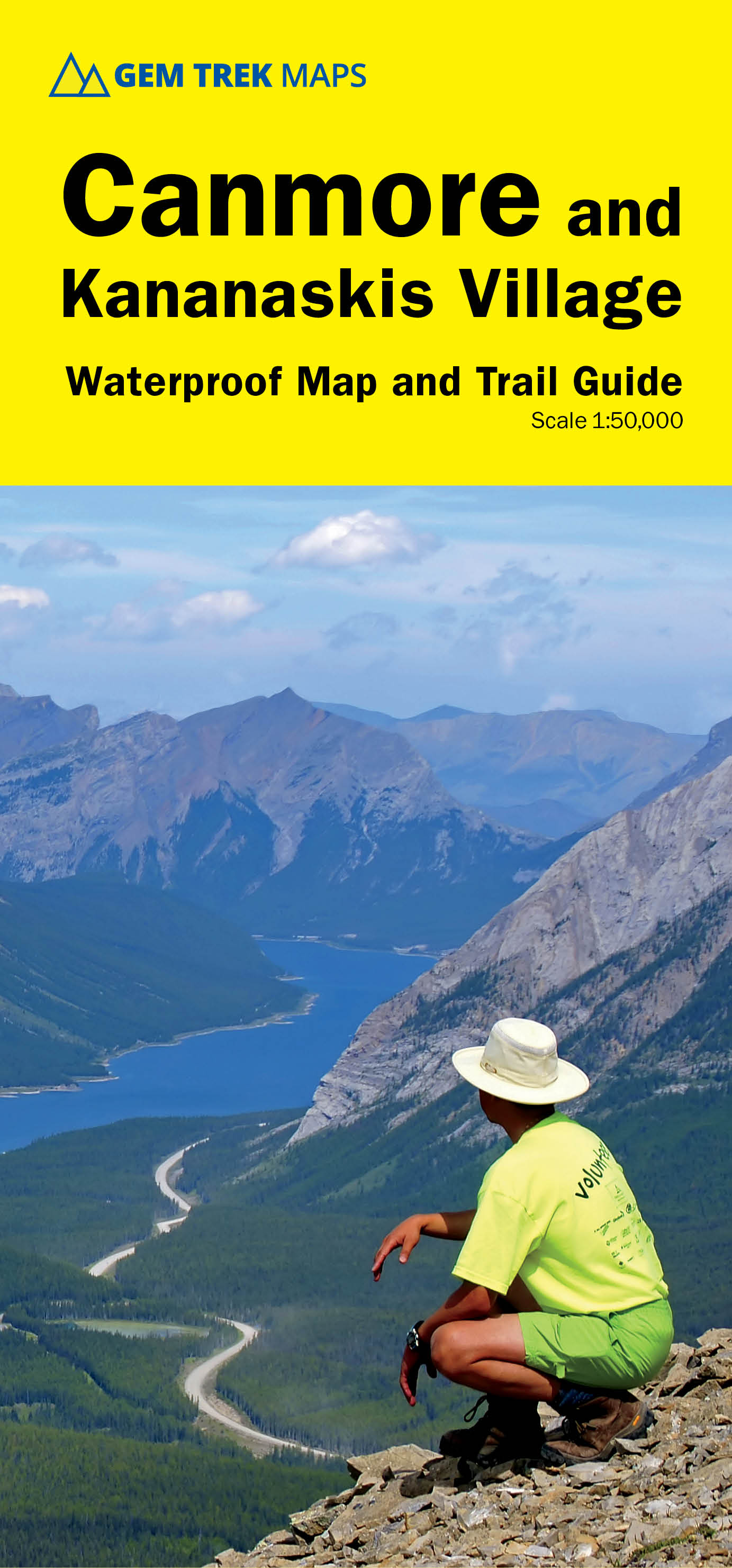
- Wandelkaart 06 Canmore & Kananaskis Village | Gem Trek Maps
- Canmore and Kananaskis Village area of the Canadian Rockies on a contoured and GPS compatible, waterproof and tear-resistant map at 1:50,000 from Gem Trek with an enlargement of the Kananaskis Village, descriptions of recommended trails and other tourist information.The map covers some of the most popular terrain for hikers and mountain bikers... Read more
- Also available from:
- Stanfords, United Kingdom

Stanfords
United Kingdom
United Kingdom
- Canmore and Kananaskis Village Gem Trek
- Canmore and Kananaskis Village area of the Canadian Rockies on a contoured and GPS compatible, waterproof and tear-resistant map at 1:50,000 from Gem Trek with an enlargement of the Kananaskis Village, descriptions of recommended trails and other tourist information.The map covers some of the most popular terrain for hikers and mountain bikers... Read more

Bol.com
Netherlands
Netherlands
- Hiking the Gulf Islands of British Columbia
- Nestled in the Strait of Georgia between British Columbias mainland and Vancouver Island, the Gulf Islands are a hikers paradise, each boasting an eclectic character and an array of flora and fauna unique to the temperate climate of the southern West Coast of Canada. Discover the panoramic views, inviting beaches and friendly hospitality of... Read more
- Also available from:
- Bol.com, Belgium
Bol.com
Belgium
Belgium
- Hiking the Gulf Islands of British Columbia
- Nestled in the Strait of Georgia between British Columbias mainland and Vancouver Island, the Gulf Islands are a hikers paradise, each boasting an eclectic character and an array of flora and fauna unique to the temperate climate of the southern West Coast of Canada. Discover the panoramic views, inviting beaches and friendly hospitality of... Read more

Bol.com
Netherlands
Netherlands
- Farther Up the Main
- Coastal British Columbia from Jervis Inlet to Desolation Sound serves as the backdrop for stories of all-terrain vehicle exploration, hiking, and survival. Tales from remote areas of Canada where people are isolated from the bustle of the surrounding world. Stories for the stout of heart and those who crave wilderness adventure. Numerous maps... Read more
- Also available from:
- Bol.com, Belgium
Bol.com
Belgium
Belgium
- Farther Up the Main
- Coastal British Columbia from Jervis Inlet to Desolation Sound serves as the backdrop for stories of all-terrain vehicle exploration, hiking, and survival. Tales from remote areas of Canada where people are isolated from the bustle of the surrounding world. Stories for the stout of heart and those who crave wilderness adventure. Numerous maps... Read more

Bol.com
Netherlands
Netherlands
- Backroad Mapbook
- This backroad mapbook is a complete road and recreation atlas for the Vancouver/Whistler/Sunshine Coast/Fraser Valley area of British Columbia, an area of the province with extensive wilderness for outdoor recreation. It includes 54 detailed colour recreational GPS-compatible topographical relief maps and detailed recreational maps of the North... Read more
- Also available from:
- Bol.com, Belgium
Bol.com
Belgium
Belgium
- Backroad Mapbook
- This backroad mapbook is a complete road and recreation atlas for the Vancouver/Whistler/Sunshine Coast/Fraser Valley area of British Columbia, an area of the province with extensive wilderness for outdoor recreation. It includes 54 detailed colour recreational GPS-compatible topographical relief maps and detailed recreational maps of the North... Read more

Bol.com
Netherlands
Netherlands
- South East Asia
- Robert F. Edwards is presently living in Burnaby, British Columbia, Canada with his wife of thirty-five years. He maintains a close connection with his daughter and grandson, also living in the Lower Mainland. After a successful career in the business arena, he now has the time to pursue his driving ambition of world travel and has been on... Read more
- Also available from:
- Bol.com, Belgium
Bol.com
Belgium
Belgium
- South East Asia
- Robert F. Edwards is presently living in Burnaby, British Columbia, Canada with his wife of thirty-five years. He maintains a close connection with his daughter and grandson, also living in the Lower Mainland. After a successful career in the business arena, he now has the time to pursue his driving ambition of world travel and has been on... Read more
Bol.com
Netherlands
Netherlands
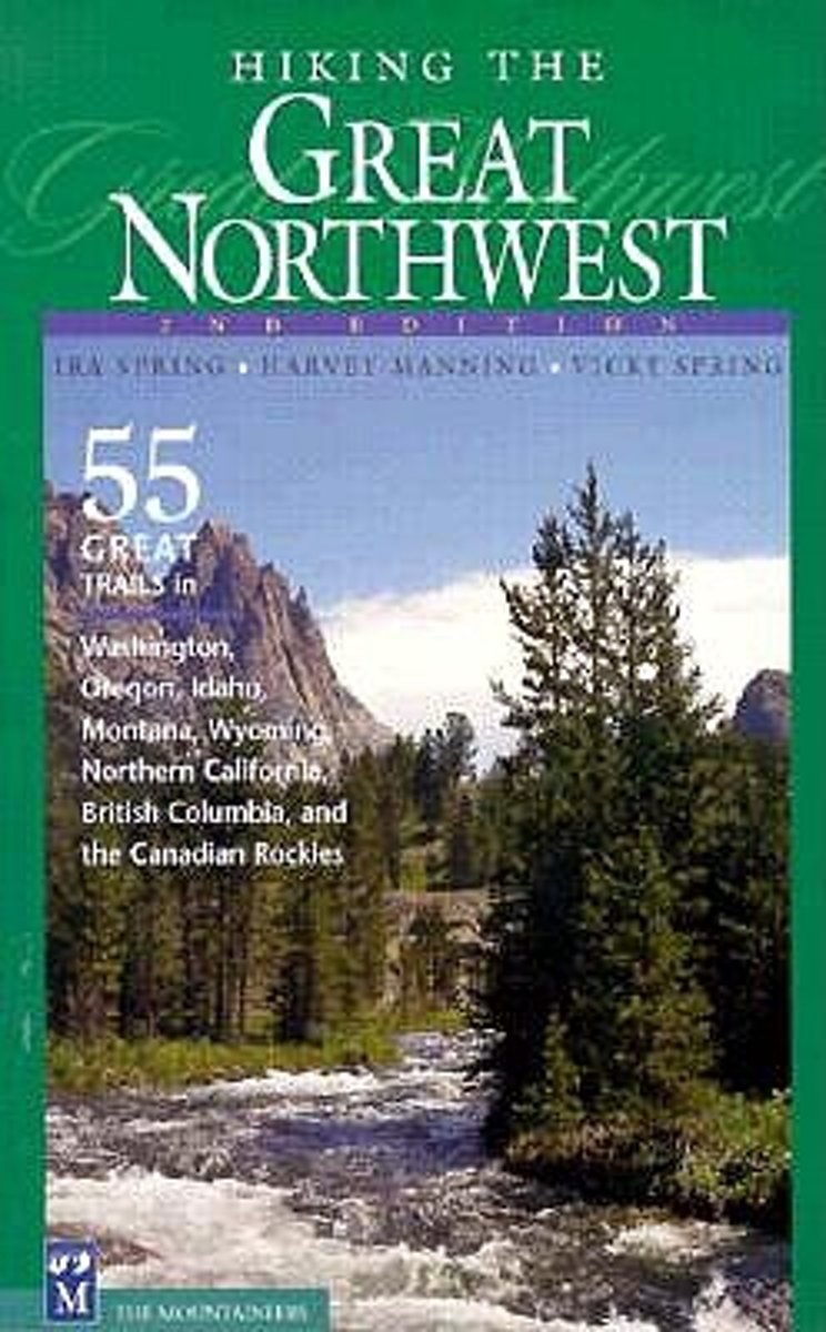
- Hiking the Great Northwest
- * Highlights the most spectacular trails in six states and two provinces * Personal picks of a trail-tested team of Northwest hiking icons Hiking the Great Nothwest is a collection of classic hikes and trails in the Pacific Northwest, as selected by the late godfathers of Northwest hiking, Ira Spring and Harvey Manning. Hikes in Washington's... Read more
- Also available from:
- Bol.com, Belgium
Bol.com
Belgium
Belgium
- Hiking the Great Northwest
- * Highlights the most spectacular trails in six states and two provinces * Personal picks of a trail-tested team of Northwest hiking icons Hiking the Great Nothwest is a collection of classic hikes and trails in the Pacific Northwest, as selected by the late godfathers of Northwest hiking, Ira Spring and Harvey Manning. Hikes in Washington's... Read more
Bol.com
Netherlands
Netherlands
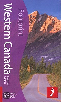
- Western Canada
- Mountain ranges, rolling plains, lush rainforest and moonscape Badlands: get back to nature with Footprint's fully revised and updated guide to Western Canada. Now in its 3rd edition this guide gives you everything you need to get the most from the great outdoors, whether you want to strike out on your own or go with an adventure tour operator.... Read more
- Also available from:
- Bol.com, Belgium
Bol.com
Belgium
Belgium
- Western Canada
- Mountain ranges, rolling plains, lush rainforest and moonscape Badlands: get back to nature with Footprint's fully revised and updated guide to Western Canada. Now in its 3rd edition this guide gives you everything you need to get the most from the great outdoors, whether you want to strike out on your own or go with an adventure tour operator.... Read more

- Also available from:
- Bol.com, Belgium
- The Book Depository, United Kingdom


Bol.com
Netherlands
Netherlands
- Farther Up the Lake
- Coastal British Columbia from Jervis Inlet to Desolation Sound serves as the backdrop for stories of boating, hiking, and survival. Tales from remote areas of Canada where people are isolated from the bustle of the surrounding world. Stories for the stout of heart and those who crave wilderness adventure. Numerous maps and photos accompany the... Read more
- Also available from:
- Bol.com, Belgium
Bol.com
Belgium
Belgium
- Farther Up the Lake
- Coastal British Columbia from Jervis Inlet to Desolation Sound serves as the backdrop for stories of boating, hiking, and survival. Tales from remote areas of Canada where people are isolated from the bustle of the surrounding world. Stories for the stout of heart and those who crave wilderness adventure. Numerous maps and photos accompany the... Read more
Bol.com
Netherlands
Netherlands
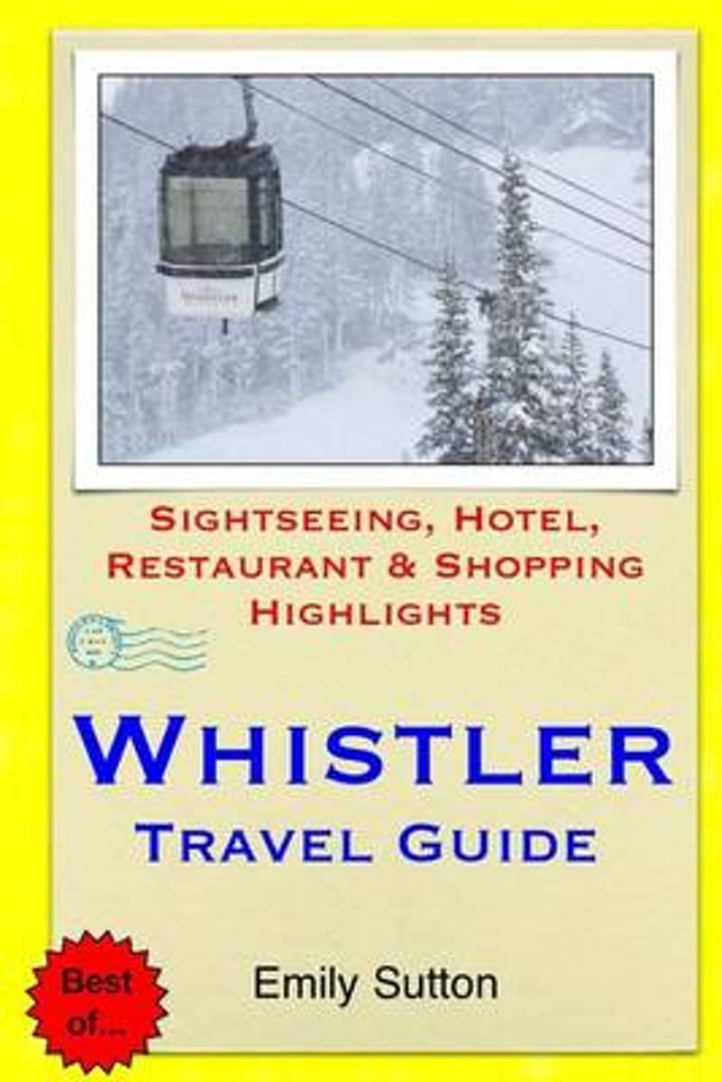
- Whistler Travel Guide
- If you are looking for a world-class wintersports location in western Canada then Whistler, British Columbia is your ticket. This Winter Olympics location is a scenic mountain area with snowy winters yet moderate temperatures. Visitors return here year after year.Introduction to Whistler, British Columbia - Overview - Culture - Location &... Read more
- Also available from:
- Bol.com, Belgium
Bol.com
Belgium
Belgium
- Whistler Travel Guide
- If you are looking for a world-class wintersports location in western Canada then Whistler, British Columbia is your ticket. This Winter Olympics location is a scenic mountain area with snowy winters yet moderate temperatures. Visitors return here year after year.Introduction to Whistler, British Columbia - Overview - Culture - Location &... Read more

Bol.com
Netherlands
Netherlands
- British Columbia
- Includes a special chapter on where to hike, bike, canoe, fish or ski in British Columbia's extensive wilderness areas; suggestions for rinding hearty seafood meals or English-style afternoon tea; all the transport options; and accommodations galore - from secluded cabins to converted farmhouses. Read more
- Also available from:
- Bol.com, Belgium
Bol.com
Belgium
Belgium
- British Columbia
- Includes a special chapter on where to hike, bike, canoe, fish or ski in British Columbia's extensive wilderness areas; suggestions for rinding hearty seafood meals or English-style afternoon tea; all the transport options; and accommodations galore - from secluded cabins to converted farmhouses. Read more
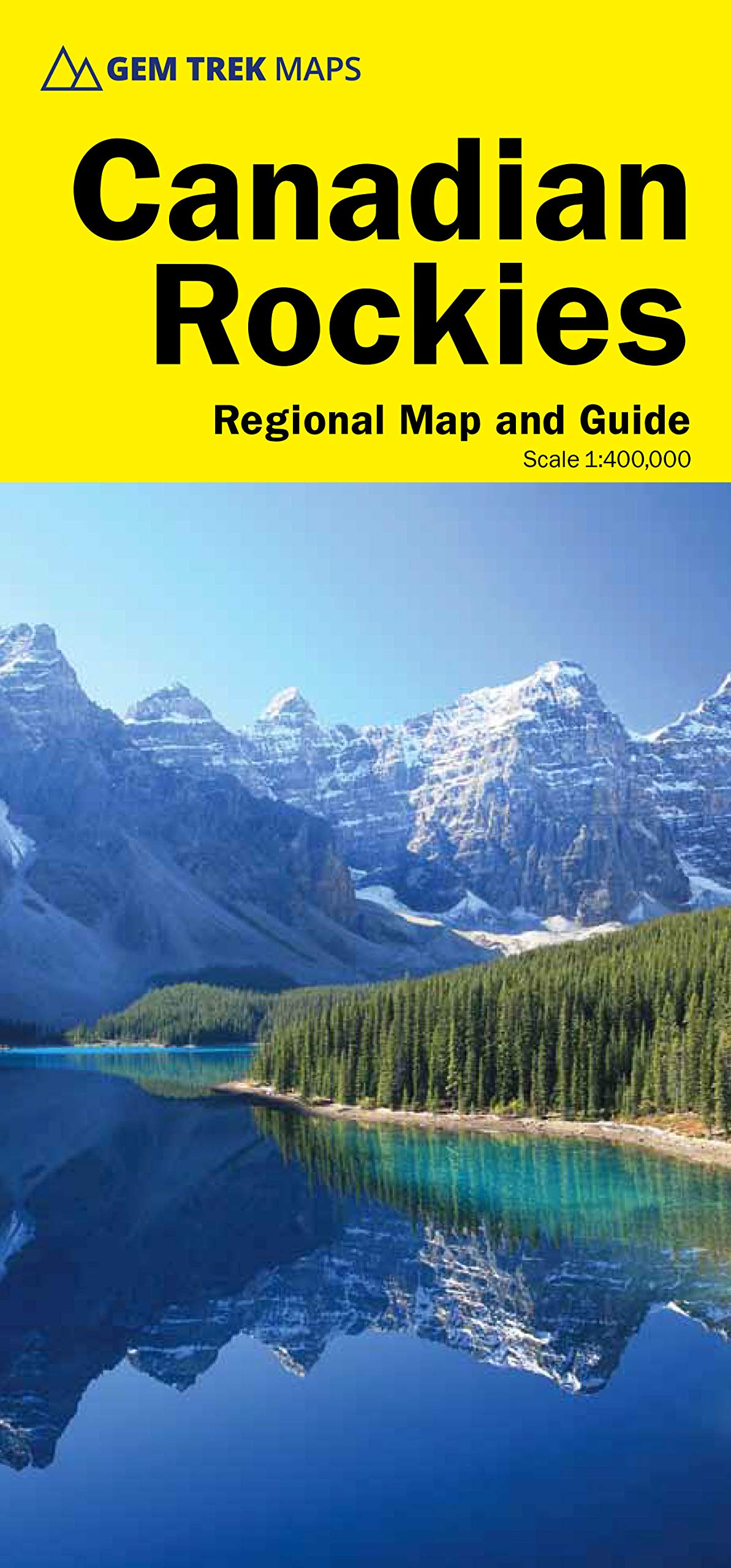
Kaarten
De Zwerver
Netherlands
Netherlands
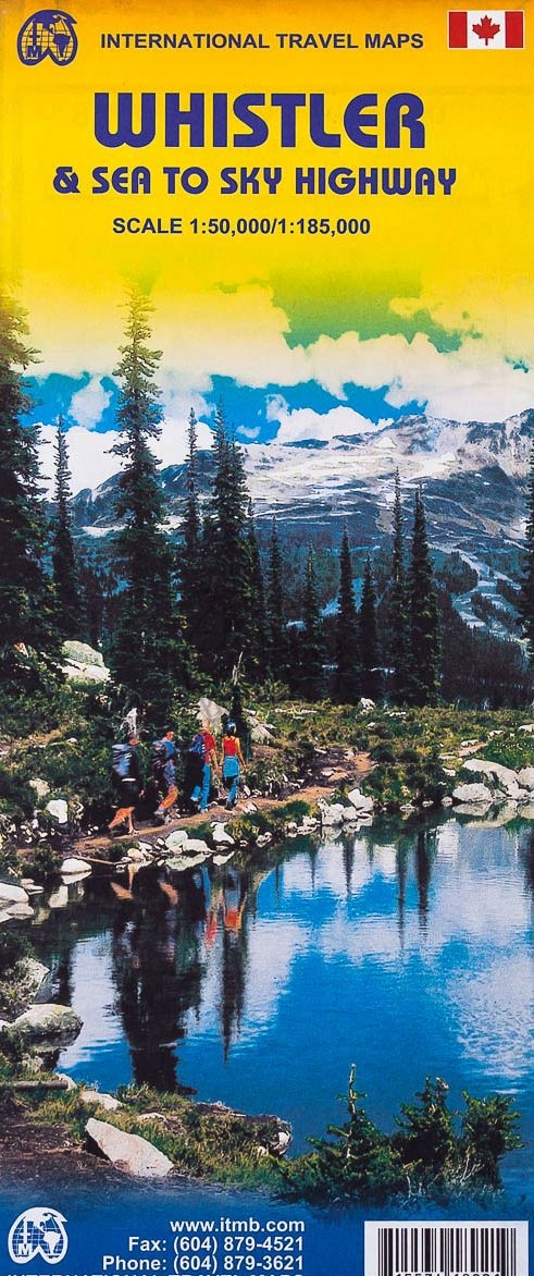
- Wegenkaart - landkaart Whistler & Sea to Sky Highway | ITMB
- Detailed contoured map from ITMB presenting the Whistler region at 1:50,000 with an additional street plan of the resort itself, plus on the reverse a road map at 1:185,000 of the south-western tip of British Columbia. The main map at 1:50,000 covers the area round the resort, including the northern part of the Garibaldi Provincial Park and the... Read more
- Also available from:
- Stanfords, United Kingdom

Stanfords
United Kingdom
United Kingdom
- Whistler and Sea-to-Sky Highway ITMB
- Detailed contoured map from ITMB presenting the Whistler region at 1:50,000 with an additional street plan of the resort itself, plus on the reverse a road map at 1:185,000 of the south-western tip of British Columbia. The main map at 1:50,000 covers the area round the resort, including the northern part of the Garibaldi Provincial Park and the... Read more
De Zwerver
Netherlands
Netherlands
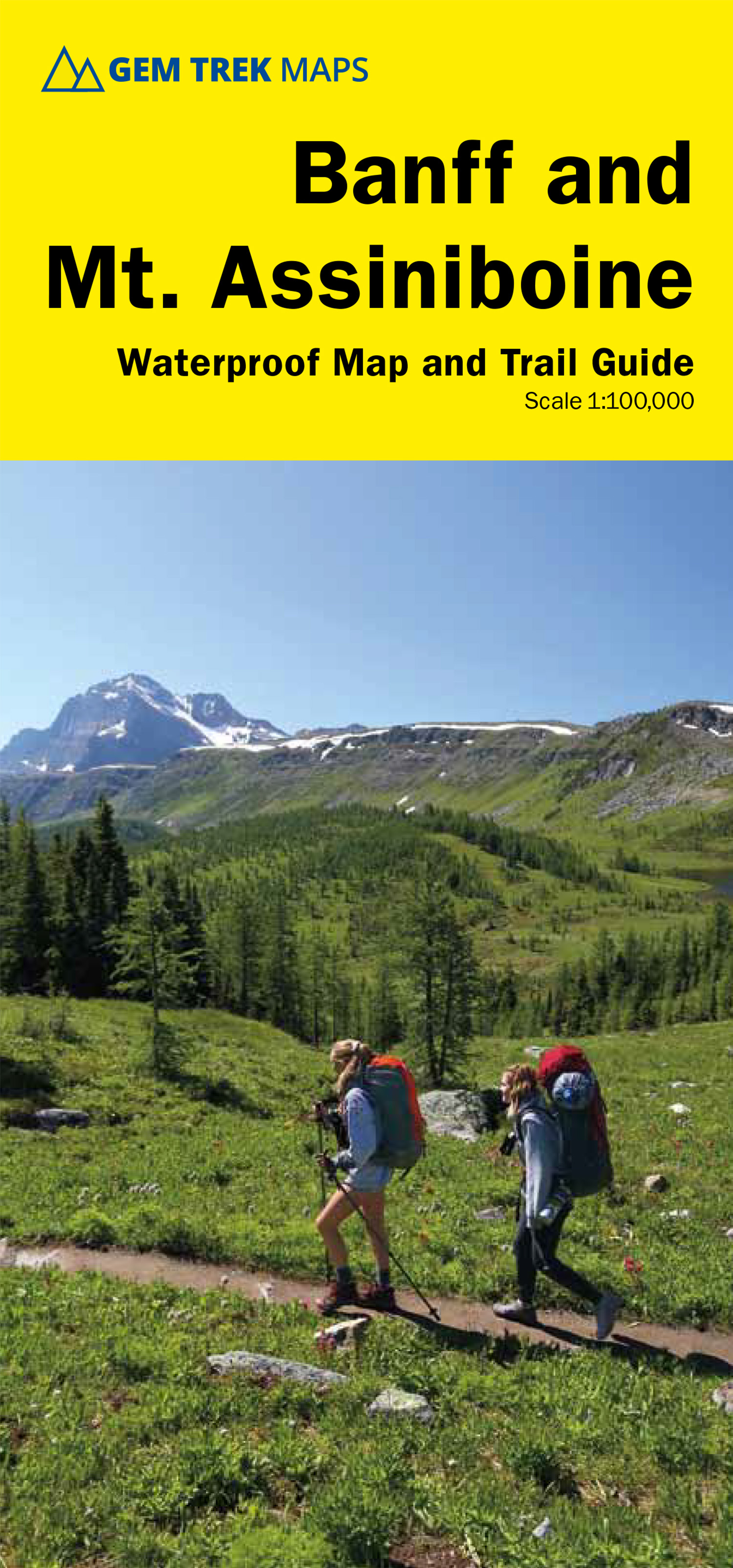
- Wandelkaart 05 Banff National Park and Mt. Assiniboine | Gem Trek Maps
- Banff - Mount Assiniboine area at 1:100,000 on a light, waterproof and tear-resistant map from Gem Trek Publishing in their series of detailed hiking maps of the Canadian Rockies. On the reverse are descriptions of several day hikes and overnight trips, plus plenty of other tourist information.The map covers the most popular hiking and mountain... Read more
- Also available from:
- Stanfords, United Kingdom

Stanfords
United Kingdom
United Kingdom
- Banff & Mount Assiniboine Gem Trek
- Banff - Mount Assiniboine area at 1:100,000 on a light, waterproof and tear-resistant map from Gem Trek Publishing in their series of detailed hiking maps of the Canadian Rockies. On the reverse are descriptions of several day hikes and overnight trips, plus plenty of other tourist information.The map covers the most popular hiking and mountain... Read more
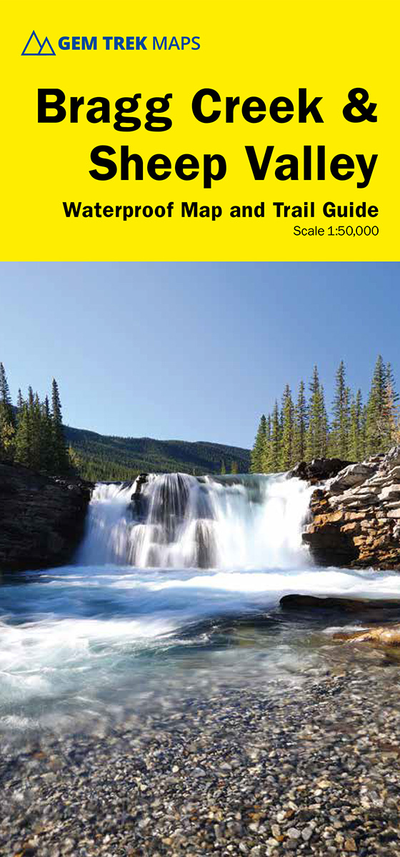
De Zwerver
Netherlands
Netherlands
De Zwerver
Netherlands
Netherlands
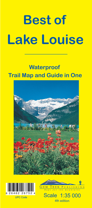
- Wandelkaart 13 Best of Lake Louise Map and Guide | Gem Trek Maps
- Mooie, gedetailleerde kaart uit de serie van Gem Trek Hiking map-guides, van het gebied Lake Louise. Helder kleurgebruik en met de beste / mooiste wandelroutes, hikes, fietsroutes, autoroutes en interessante plaatsen erop aangegeven. This map is designed for people who only plan to be in the Lake Louise area for one to three days, and want to... Read more
De Zwerver
Netherlands
Netherlands
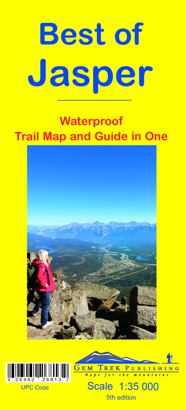
- Wandelkaart 12 Best of Jasper | Gem Trek Maps
- Water- en scheurvaste wandelkaart van Jasper. Met op de achterzijde een overzicht van de belangrijkste bezienswaardigheden. This map is designed for people who are only going to be in Jasper for one to three days, and want to know what the highlights are and how to find them. On the front is a 1:35,000-scale detailed topographic map of the... Read more
- Also available from:
- Stanfords, United Kingdom

Stanfords
United Kingdom
United Kingdom
- Best of Jasper Gem Trek
- Jasper town and the surrounding area on a contoured and GPS compatible map/guide at 1:35,000 from Gem Trek, designed for people who are only going to be in Jasper for one to three days and want to know the highlights. On one side is a detailed, topographic map of the Jasper area, which covers the entire network of trails on Pyramid Bench,... Read more
De Zwerver
Netherlands
Netherlands
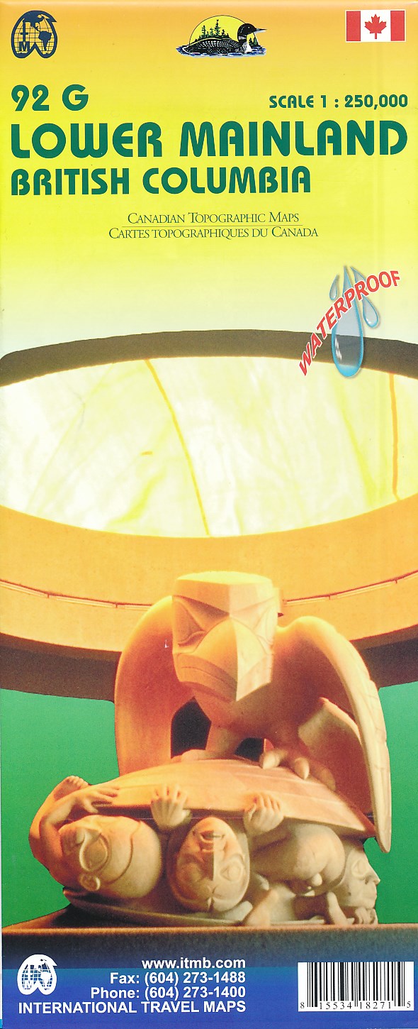
- Wegenkaart - landkaart 92G Lower Mainland British Columbia - Richmond and New Westminster | ITMB
- Lower Mainland - Richmond and New Westminster at 1:250,000 and 1:50,000 in a series of topographic survey maps of selected areas of British Columbia and the Canadian Rockies from ITMB with cartography from Canada Read more
- Also available from:
- Stanfords, United Kingdom

Stanfords
United Kingdom
United Kingdom
- Lower Mainland - Richmond & New Westminster ITMB
- Lower Mainland - Richmond and New Westminster at 1:250,000 and 1:50,000 in a series of topographic survey maps of selected areas of British Columbia and the Canadian Rockies from ITMB with cartography from Canada’s national survey organization. Most sheets are printed on light, waterproof and tear- resistant plastic paper.Whilst the Canadian... Read more
De Zwerver
Netherlands
2021
Netherlands
2021
De Zwerver
Netherlands
Netherlands
- Also available from:
- Stanfords, United Kingdom

Stanfords
United Kingdom
United Kingdom
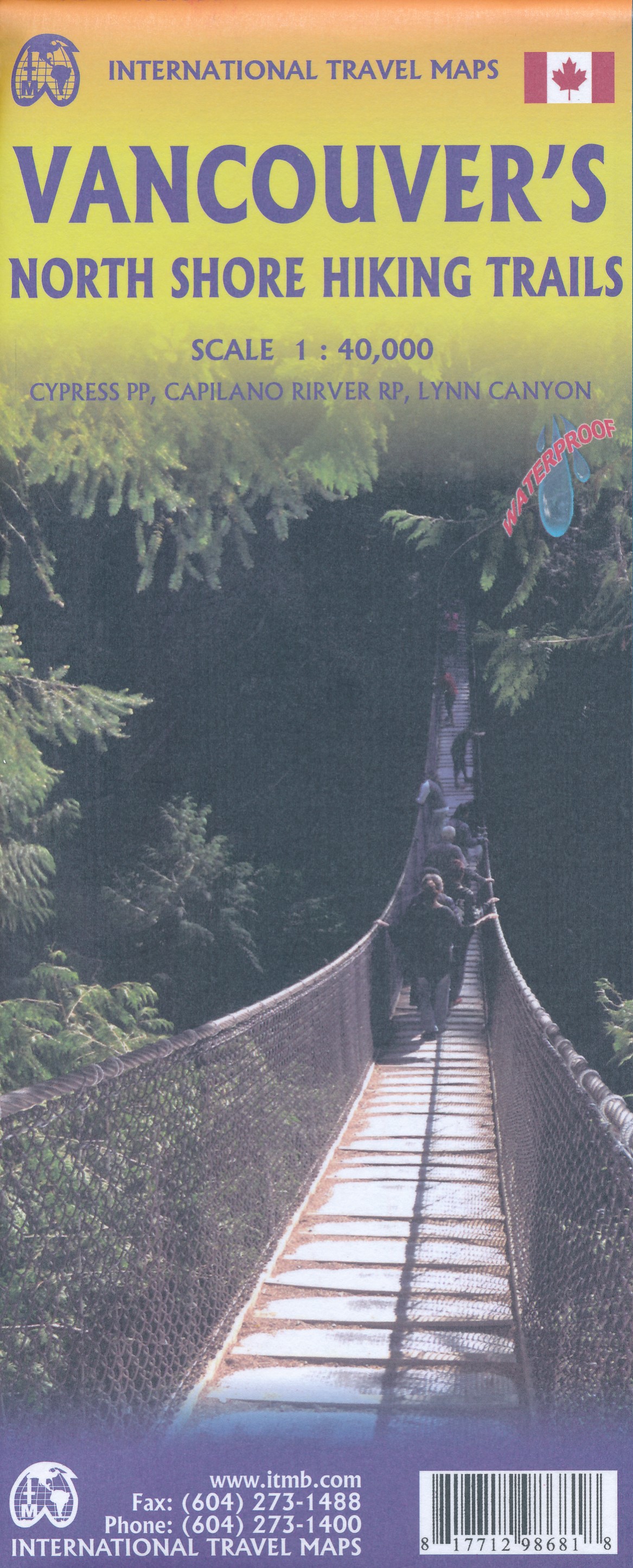
- Vancouver`s Northshore Hiking Trails ITMB
- The first side of this recreationally-oriented map covers the valley from the Pacific coast east through Vancouver and Chilliwack to Manning Park and goes north to Whistler and Cache Creek. It comes with an inset map of Whistler Village (1:6,500) and Downtown Vancouver.On the reverse side is Vancouver City, at 1:20,000 scale. Read more
De Zwerver
Netherlands
Netherlands