
Arizona
Beschrijving
Exotic hiking in Arizona. The state has extensive arid deserts, but also high rugged mountains and deep canyons, like the popular Grand Canyon.
The clear sky and bright colors will enchant you, not only on the Grand Enchantment Trail (730 miles) itself, but also the 817 miles Arizona Trail, the General George Cook Trail, and the first (or last) part of the 3.100 mile long Great Western Trail.
More interesting even than the National Parks are the huge National Forests stretching across the centre from north to south, with thousands of miles of trails.
Arizona is great for walking!
Kaart

Paden in deze landsdeel
Links
Feiten
Verslagen
Gidsen en kaarten
Overnachting
Organisaties
Reisorganisaties
GPS
Anders
Boeken
De Zwerver
Netherlands
Netherlands
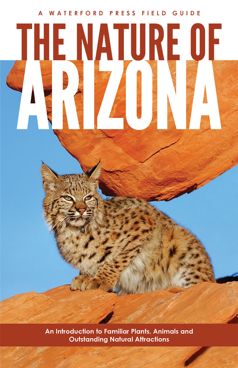
- Natuurgids Arizona birds | Waterford Press
- Een bijzonder handige uitklapkaart : Duidelijke illustraties, goede korte omschrijving van soort en leefgebied, geplastificeerd. Considered one of the three best places in America for bird-watching, Arizona is host to more than 140 species, including the Sandhill Crane and 12 species of Hummingbird not found anywhere else in the country.... Read more
De Zwerver
Netherlands
2022
Netherlands
2022
Bol.com
Netherlands
Netherlands
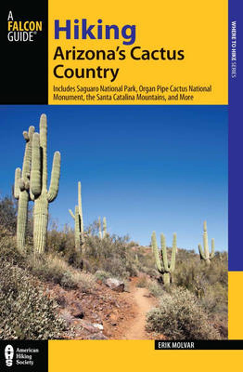
- Hiking Arizona's Cactus Country
- "Southern Arizona offers unlimited opportunities for backcountry exploration"-- Read more
- Also available from:
- Bol.com, Belgium
Bol.com
Belgium
Belgium
- Hiking Arizona's Cactus Country
- "Southern Arizona offers unlimited opportunities for backcountry exploration"-- Read more
Bol.com
Netherlands
Netherlands
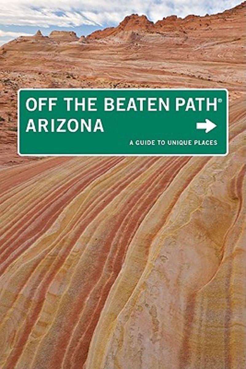
- Arizona off the Beaten Path
- Everyone has heard of the Grand Canyon, but what about the Petrified Forest or Goldfield Ghost Town? For travelers interested in exploring the unusual and unique, this unconventional guide to Arizona offers everything from the Organ Pipe Cactus National Monument to the Tallest Fountain in the World. Read more
- Also available from:
- Bol.com, Belgium
Bol.com
Belgium
Belgium
- Arizona off the Beaten Path
- Everyone has heard of the Grand Canyon, but what about the Petrified Forest or Goldfield Ghost Town? For travelers interested in exploring the unusual and unique, this unconventional guide to Arizona offers everything from the Organ Pipe Cactus National Monument to the Tallest Fountain in the World. Read more

Bol.com
Netherlands
Netherlands
- Motorcycle Mysteries
- Entertaining and irreverent journeys in search of El Chupacabre, Big Foot, Energy Vortex's and UFO Domes. Chasing stories of Alien abduction, Skinwalkers the ghost of Graham Parsons and a be-headed prostitute. Finding "Here" in Pink Floyds "Wish You Were Here" and "Champ", America's Loch Ness Monster. Following the trail of Easy Rider and... Read more
- Also available from:
- Bol.com, Belgium
Bol.com
Belgium
Belgium
- Motorcycle Mysteries
- Entertaining and irreverent journeys in search of El Chupacabre, Big Foot, Energy Vortex's and UFO Domes. Chasing stories of Alien abduction, Skinwalkers the ghost of Graham Parsons and a be-headed prostitute. Finding "Here" in Pink Floyds "Wish You Were Here" and "Champ", America's Loch Ness Monster. Following the trail of Easy Rider and... Read more
Bol.com
Netherlands
Netherlands
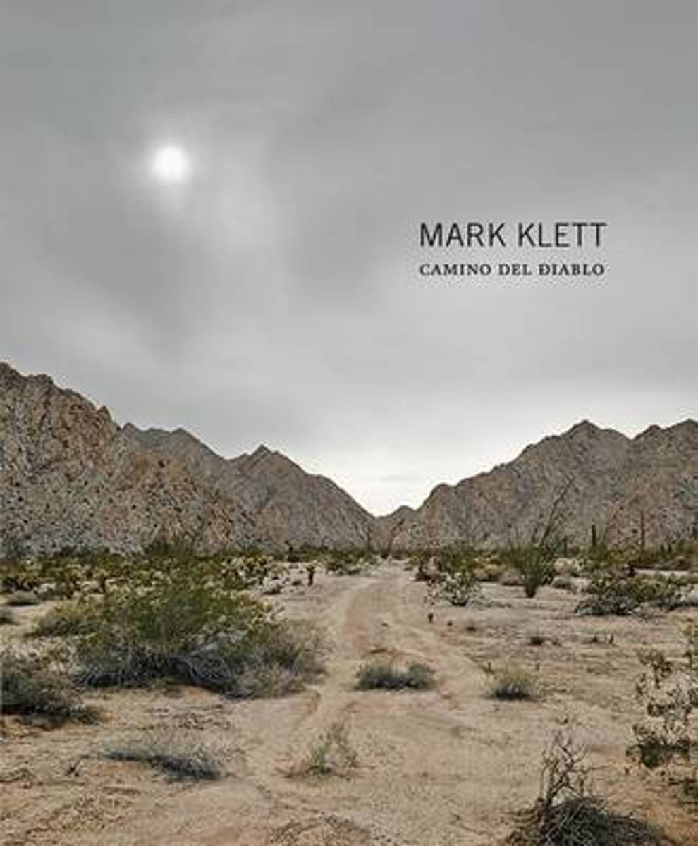
- Mark Klett - Camino Del Diablo
- Much of Mark Klett's (born 1952) work as a photographer has entailed conversations with historical images. For this project, Klett worked only with the account of a young mining engineer named Raphael Pumpelly who wrote of his perilous journey through Arizona and Mexico in 1861 on the lawless Camino del Diablo or "road of the devil." More than... Read more
- Also available from:
- Bol.com, Belgium
Bol.com
Belgium
Belgium
- Mark Klett - Camino Del Diablo
- Much of Mark Klett's (born 1952) work as a photographer has entailed conversations with historical images. For this project, Klett worked only with the account of a young mining engineer named Raphael Pumpelly who wrote of his perilous journey through Arizona and Mexico in 1861 on the lawless Camino del Diablo or "road of the devil." More than... Read more
Bol.com
Netherlands
Netherlands
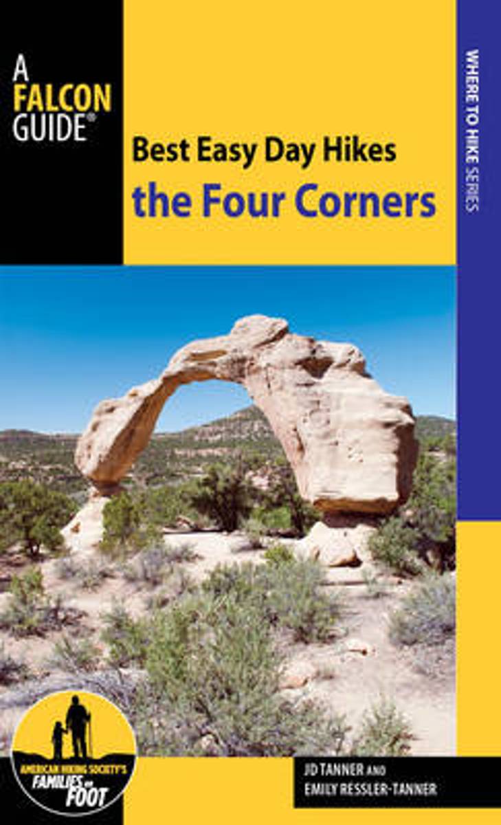
- Best Easy Day Hikes the Four Corners
- Best Easy Day Hikes the Four Corners offers day hikes and is encouraged for visitors, locals looking for fun challenges, and families wanting to hike together. Every hike includes prominent landmarks, GPS coordinates and waypoints, detailed hike descriptions and maps, and easy-to-find trailhead directions, along with excellent full-color photos... Read more
- Also available from:
- Bol.com, Belgium
- The Book Depository, United Kingdom
Bol.com
Belgium
Belgium
- Best Easy Day Hikes the Four Corners
- Best Easy Day Hikes the Four Corners offers day hikes and is encouraged for visitors, locals looking for fun challenges, and families wanting to hike together. Every hike includes prominent landmarks, GPS coordinates and waypoints, detailed hike descriptions and maps, and easy-to-find trailhead directions, along with excellent full-color photos... Read more

Bol.com
Netherlands
Netherlands
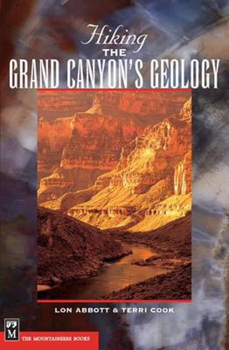
- Hiking the Grand Canyon's Geology
- * Part of the popular Hiking Geology series * Appendices cover additional geologic information for the non-geologist * Everything needed to plan the trip, including information about permits, lodging and camping, mule rides, and recommended day trips Etched on the Grand Canyon's steep walls are stories of how this majestic landscape came to... Read more
- Also available from:
- Bol.com, Belgium
Bol.com
Belgium
Belgium
- Hiking the Grand Canyon's Geology
- * Part of the popular Hiking Geology series * Appendices cover additional geologic information for the non-geologist * Everything needed to plan the trip, including information about permits, lodging and camping, mule rides, and recommended day trips Etched on the Grand Canyon's steep walls are stories of how this majestic landscape came to... Read more
Bol.com
Netherlands
Netherlands
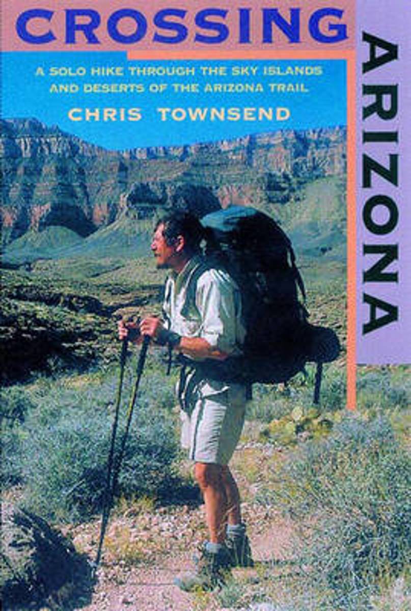
- Crossing Arizona
- The author's engaging account of his solo hike along the Arizona Trailfrom the Mexican border to Utah. Crossing Arizona takes us on an extraordinary journey across some of the harshest, most remote, and arguably most beautiful natural terrain in the Lower 48. Long-distance hiker Chris Townsend, inspired by the writings of Edward Abbey and Colin... Read more
- Also available from:
- Bol.com, Belgium
- The Book Depository, United Kingdom
Bol.com
Belgium
Belgium
- Crossing Arizona
- The author's engaging account of his solo hike along the Arizona Trailfrom the Mexican border to Utah. Crossing Arizona takes us on an extraordinary journey across some of the harshest, most remote, and arguably most beautiful natural terrain in the Lower 48. Long-distance hiker Chris Townsend, inspired by the writings of Edward Abbey and Colin... Read more

The Book Depository
United Kingdom
United Kingdom
- Crossing Arizona
- A Solo Hike through the Sky Islands and Deserts of the Arizona Trail Read more
Bol.com
Netherlands
Netherlands
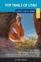
- Top Trails of Utah
- So you've been done an Arizona vacation, maybe even Colorado and Utah, but have you done the Grand Circle? You may have heard of the term and likely know it well if you live within it. For those that don't know what the Grand Circle means, you aren't alone. It is, in a nutshell, one of the "must do" vacation destinations in North America. The... Read more
- Also available from:
- Bol.com, Belgium
Bol.com
Belgium
Belgium
- Top Trails of Utah
- So you've been done an Arizona vacation, maybe even Colorado and Utah, but have you done the Grand Circle? You may have heard of the term and likely know it well if you live within it. For those that don't know what the Grand Circle means, you aren't alone. It is, in a nutshell, one of the "must do" vacation destinations in North America. The... Read more
Kaarten

De Zwerver
Netherlands
Netherlands
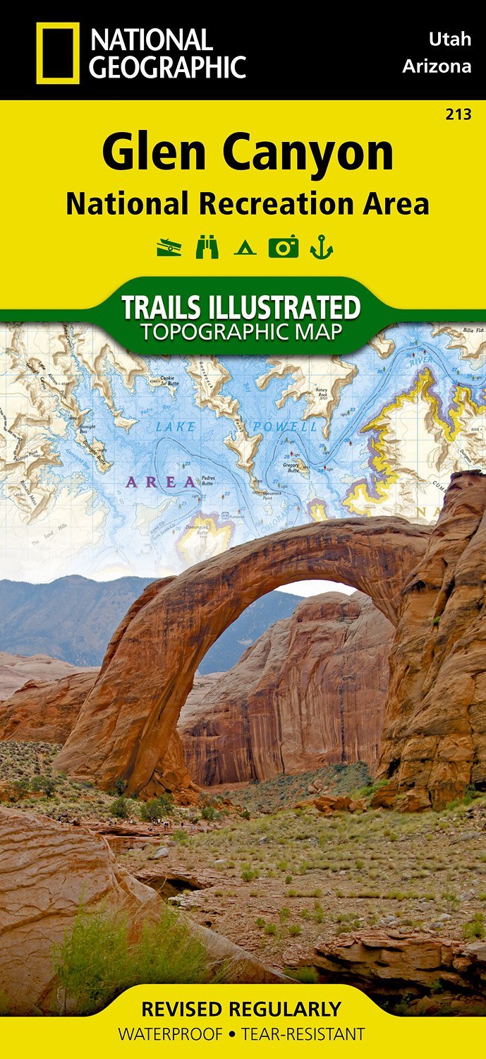
- Wandelkaart - Topografische kaart 213 Glen Canyon National Recreation Area | National Geographic
- Prachtige geplastificeerde kaart van het nationaal park. Met alle recreatieve voorzieningen als campsites, maar ook met topografische details en wandelroutes ed. Door uitgekiend kleurgebruik zeer prettig in gebruik. Scheur en watervast! Our Glen Canyon NRA and Rainbow Bridge NM Trails Illustrated map provides detailed topographic coverage,... Read more
- Also available from:
- Stanfords, United Kingdom

Stanfords
United Kingdom
United Kingdom
- Glen Canyon NRA - Capitol Reef NP UT/AZ
- Map No. 213, Glen Canyon National Recreation Area/Capitol Reef National Park, UT/AZ, in an extensive series of GPS compatible, contoured hiking maps of USA’s national and state parks or forests and other popular recreational areas. Cartography based on the national topographic survey, with additional tourist information.The maps, with most... Read more
De Zwerver
Netherlands
Netherlands
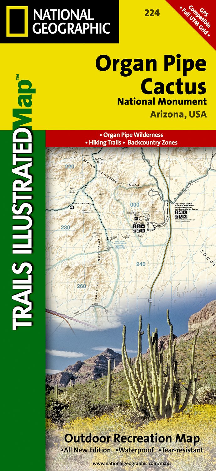
- Wandelkaart - Topografische kaart 224 Organ Pipe Cactus National Monument | National Geographic
- Prachtige geplastificeerde kaart van het nationaal park. Met alle recreatieve voorzieningen als campsites, maar ook met topografische details en wandelroutes ed. Door uitgekiend kleurgebruik zeer prettig in gebruik. Scheur en watervast! This Trails Illustrated topographic map for Organ Pipe Cactus National Monument, straddling southern Arizona,... Read more
- Also available from:
- Stanfords, United Kingdom

Stanfords
United Kingdom
United Kingdom
- Organ Pipe Cactus National Monument AZ
- Map No. 224, Organ Pipe Cactus National Monument, AZ, in an extensive series of GPS compatible, contoured hiking maps of USA’s national and state parks or forests and other popular recreational areas. Cartography based on the national topographic survey, with additional tourist information.The maps, with most titles now printed on light,... Read more
Bol.com
Netherlands
Netherlands
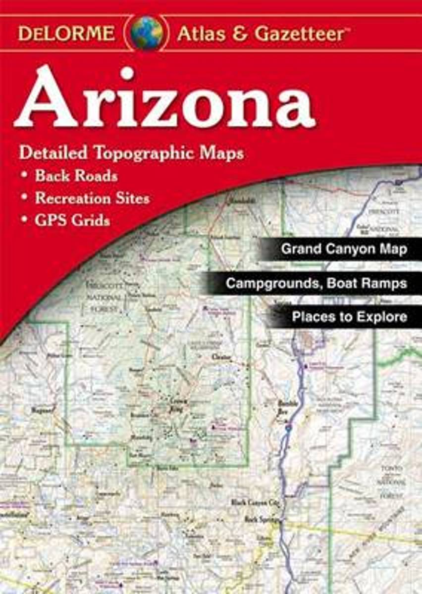
- Delorme Arizona Atlas & Gazetteer
- A uniquely useful resource, the Atlas & Gazetteer* Series is great for information on camping, hiking, fishing, hunting, bike and motorcycle touring, birdwatching, back road exploration, and more. A guide is available for all 50 American states. Read more
- Also available from:
- Bol.com, Belgium
Bol.com
Belgium
Belgium
- Delorme Arizona Atlas & Gazetteer
- A uniquely useful resource, the Atlas & Gazetteer* Series is great for information on camping, hiking, fishing, hunting, bike and motorcycle touring, birdwatching, back road exploration, and more. A guide is available for all 50 American states. Read more
De Zwerver
Netherlands
Netherlands
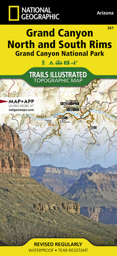
- Wandelkaart - Topografische kaart 261 Grand Canyon | National Geographic
- Prachtige geplastificeerde kaart van het bekende nationaal park. Met alle recreatieve voorzieningen als campsites, maar ook met topografische details en wandelroutes ed. Door uitgekiend kleurgebruik zeer prettig in gebruik. Scheur en watervast! Grand Canyon, Bright Angel Canyon/North & South Rims (#261) replaces the previous Grand Canyon... Read more
- Also available from:
- Bol.com, Netherlands
- Bol.com, Belgium
Bol.com
Netherlands
Netherlands
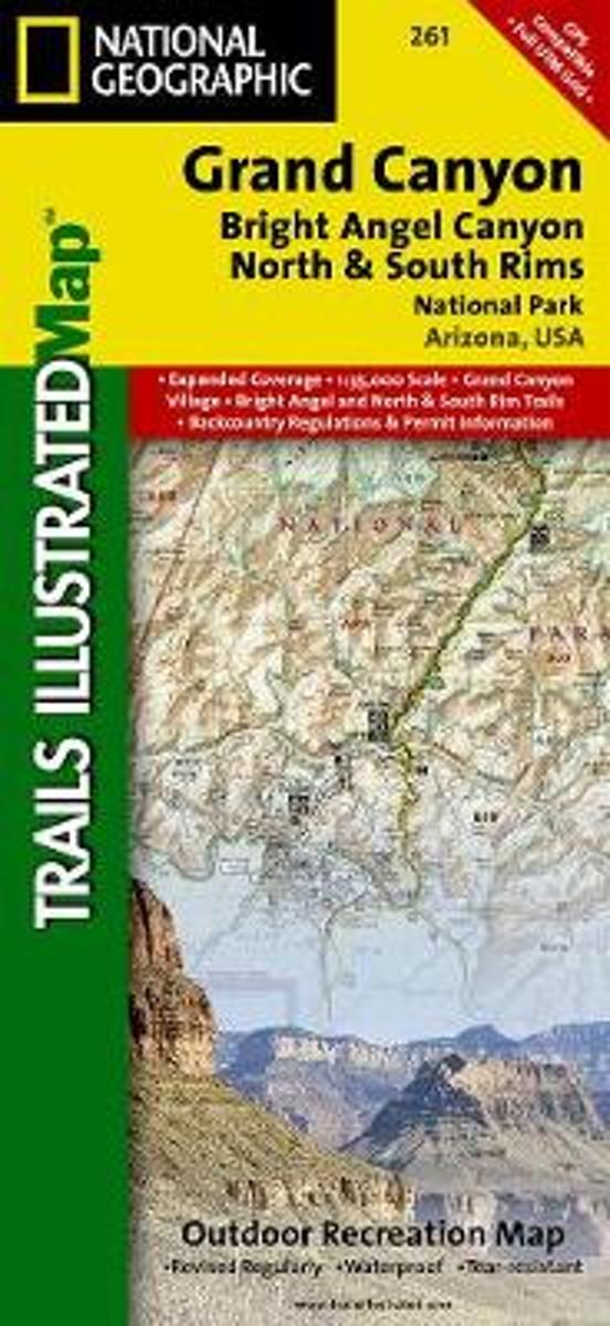
- Grand Canyon, Bright Angel Canyon/north & South Rims
- Waterproof Tear-Resistant Topographic MapExplore the uniquely inspiring and wondrous landscape of the Grand Canyon with National Geographic's Trails Illustrated map of Grand Canyon National Park, North and South Rims. Expertly researched and created in partnership with local land management agencies, this map is designed to meet the needs... Read more
Bol.com
Belgium
Belgium
- Grand Canyon, Bright Angel Canyon/north & South Rims
- Waterproof Tear-Resistant Topographic MapExplore the uniquely inspiring and wondrous landscape of the Grand Canyon with National Geographic's Trails Illustrated map of Grand Canyon National Park, North and South Rims. Expertly researched and created in partnership with local land management agencies, this map is designed to meet the needs... Read more

De Zwerver
Netherlands
Netherlands
- Wandelkaart 262 Grand Canyon East - Oost | National Geographic
- Prachtige geplastificeerde kaart van het nationaal park. Met alle recreatieve voorzieningen als campsites, maar ook met topografische details en wandelroutes ed. Door uitgekiend kleurgebruik zeer prettig in gebruik. Scheur en watervast! Grand Canyon East (#262) and Grand Canyon West (#263) combine to cover the entire Grand Canyon National Park... Read more
- Also available from:
- Bol.com, Netherlands
- Bol.com, Belgium

Bol.com
Netherlands
Netherlands
- Grand Canyon East
- Waterproof Tear-Resistant Topographic MapGrand Canyon East (#262) and Grand Canyon West (#263) combine to cover the entire Grand Canyon National Park and its bordering public lands. Both maps contain detailed and easy-to-read trail and road networks, locations of facilities, points of interest, and highly accurate terrain with thousands... Read more
Bol.com
Belgium
Belgium
- Grand Canyon East
- Waterproof Tear-Resistant Topographic MapGrand Canyon East (#262) and Grand Canyon West (#263) combine to cover the entire Grand Canyon National Park and its bordering public lands. Both maps contain detailed and easy-to-read trail and road networks, locations of facilities, points of interest, and highly accurate terrain with thousands... Read more
De Zwerver
Netherlands
Netherlands
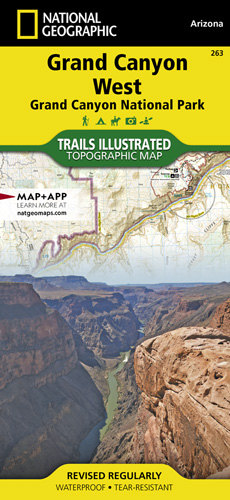
- Wandelkaart - Topografische kaart 263 Grand Canyon West | National Geographic
- Prachtige geplastificeerde kaart van het nationaal park. Met alle recreatieve voorzieningen als campsites, maar ook met topografische details en wandelroutes ed. Door uitgekiend kleurgebruik zeer prettig in gebruik. Scheur en watervast! These Trail maps give outdoor enthusiasts & explorers the kind of details, accuracy, functionality, ease of... Read more
- Also available from:
- Bol.com, Netherlands
- Bol.com, Belgium
- The Book Depository, United Kingdom
Bol.com
Netherlands
Netherlands
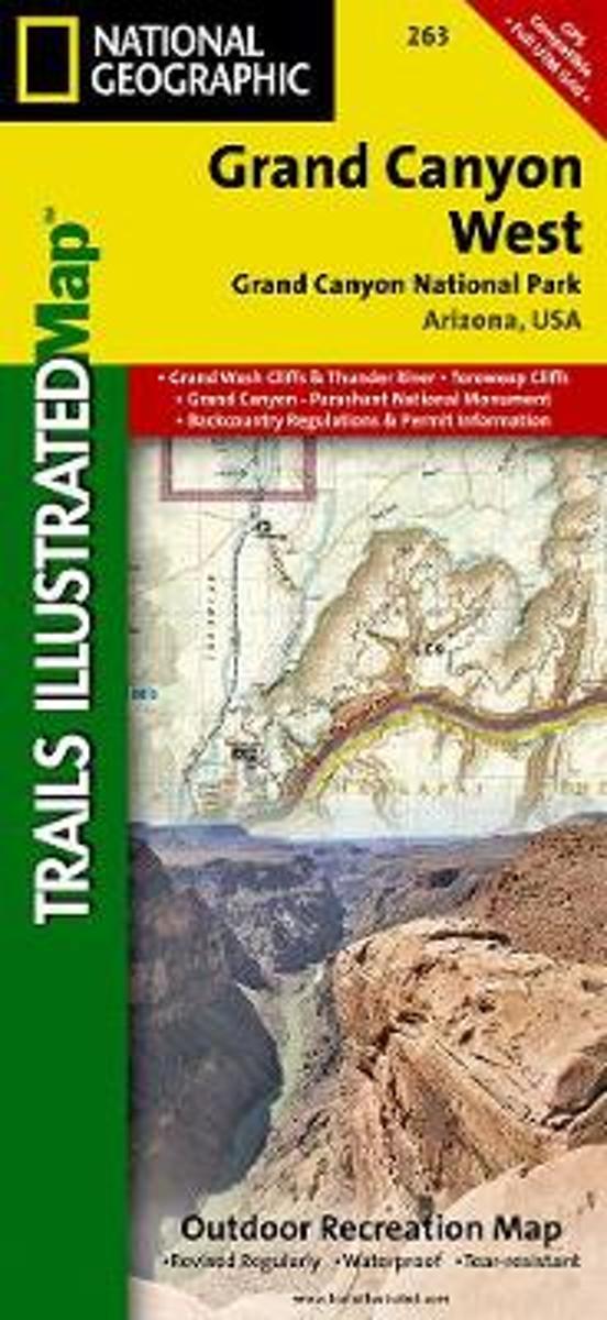
- Grand Canyon West
- Waterproof Tear-Resistant Topographic MapGrand Canyon West (#263) and Grand Canyon East (#262) combine to cover the entire Grand Canyon National Park and its bordering public lands. Both maps contain detailed and easy-to-read trail and road networks, locations of facilities, points of interest, and highly accurate terrain with thousands... Read more
Bol.com
Belgium
Belgium
- Grand Canyon West
- Waterproof Tear-Resistant Topographic MapGrand Canyon West (#263) and Grand Canyon East (#262) combine to cover the entire Grand Canyon National Park and its bordering public lands. Both maps contain detailed and easy-to-read trail and road networks, locations of facilities, points of interest, and highly accurate terrain with thousands... Read more

Bol.com
Netherlands
Netherlands
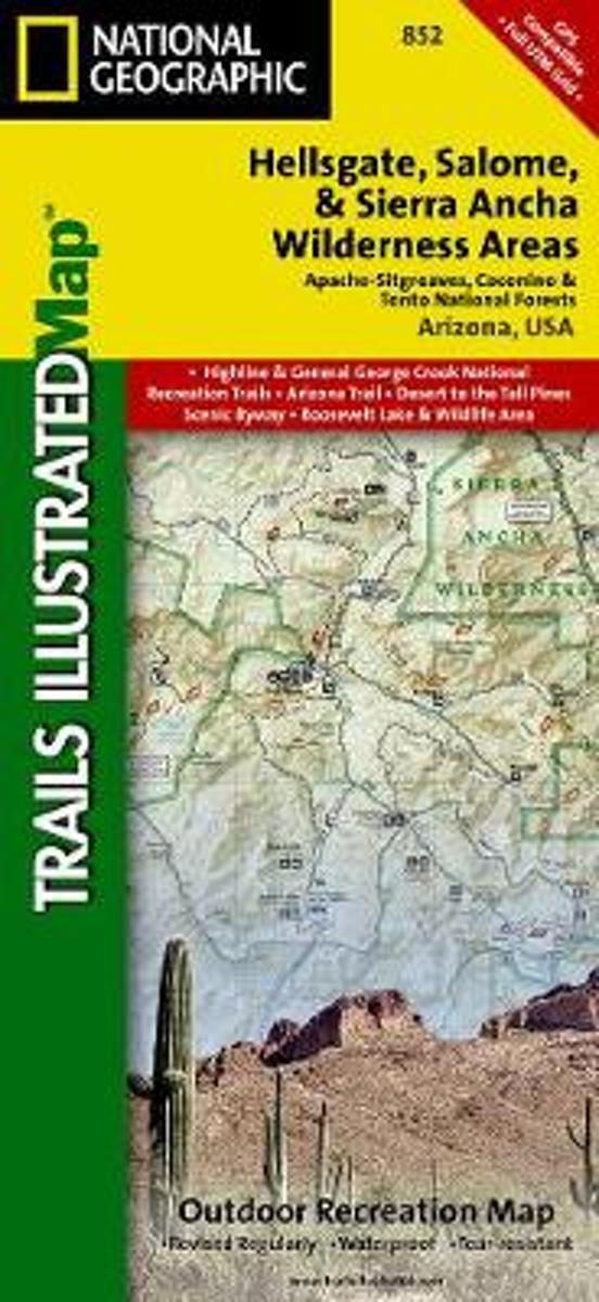
- Hellsgate, Salome & Sierra Ancha Wilderness Areas, Apache-sitgreaves, Cocnino, & Tonto National Forests
- Waterproof Tear-Resistant Topographic MapOne of the most-visited urban forests in the U.S., with approximately 5.8 million visitors annually, the Tonto National Forest spans almost 3 million acres of diverse terrain just outside of Phoenix, AZ. Tonto encompasses a wide variety of vegetation ranging from cactus-studded desert to... Read more
- Also available from:
- Bol.com, Belgium
- Stanfords, United Kingdom
Bol.com
Belgium
Belgium
- Hellsgate, Salome & Sierra Ancha Wilderness Areas, Apache-sitgreaves, Cocnino, & Tonto National Forests
- Waterproof Tear-Resistant Topographic MapOne of the most-visited urban forests in the U.S., with approximately 5.8 million visitors annually, the Tonto National Forest spans almost 3 million acres of diverse terrain just outside of Phoenix, AZ. Tonto encompasses a wide variety of vegetation ranging from cactus-studded desert to... Read more

Stanfords
United Kingdom
United Kingdom
- Hellsgate - Salome & Sierra Ancha Wilderness Areas - Tonto National Forest AZ
- Map No. 852, Tonto National Forest: Hellsgate, Salome and Sierra Ancha Wilderness, AZ, in an extensive series of GPS compatible, contoured hiking maps of USA’s national and state parks or forests and other popular recreational areas. Cartography based on the national topographic survey, with additional tourist information.The maps, with most... Read more

De Zwerver
Netherlands
Netherlands
- Wandelkaart - Topografische kaart 219 Bryce Canyon National Park | National Geographic
- Prachtige geplastificeerde kaart van het bekende nationaal park. Met alle recreatieve voorzieningen als campsites, maar ook met topografische details en wandelroutes ed. Door uitgekiend kleurgebruik zeer prettig in gebruik. Scheur en watervast! This informative Trails Illustrated map will help you plan trips and explore the area in and around... Read more
- Also available from:
- Bol.com, Netherlands
- Bol.com, Belgium
- Stanfords, United Kingdom
- The Book Depository, United Kingdom

Bol.com
Netherlands
Netherlands
- Bryce Canyon National Park
- Waterproof Tear-Resistant Topographic MapNational Geographic's Trails Illustrated map of Bryce Canyon National Park is designed to meet the needs of outdoor enthusiasts by combining valuable information with unmatched detail of this unique landscape of hoodoos and forest. Created in partnership with local land management agencies, this... Read more
Bol.com
Belgium
Belgium
- Bryce Canyon National Park
- Waterproof Tear-Resistant Topographic MapNational Geographic's Trails Illustrated map of Bryce Canyon National Park is designed to meet the needs of outdoor enthusiasts by combining valuable information with unmatched detail of this unique landscape of hoodoos and forest. Created in partnership with local land management agencies, this... Read more

Stanfords
United Kingdom
United Kingdom
- Bryce Canyon National Park UT NGS Trails Illustrated Map 219
- Map No. 219, Bryce Canyon National Park, UT, in an extensive series of GPS compatible, contoured hiking maps of USA’s national and state parks or forests and other popular recreational areas. Cartography based on the national topographic survey, with additional tourist information.The maps, with most titles now printed on light, waterproof and... Read more

The Book Depository
United Kingdom
United Kingdom
- Bryce Canyon National Park
- Trails Illustrated National Parks Read more
Bol.com
Netherlands
Netherlands
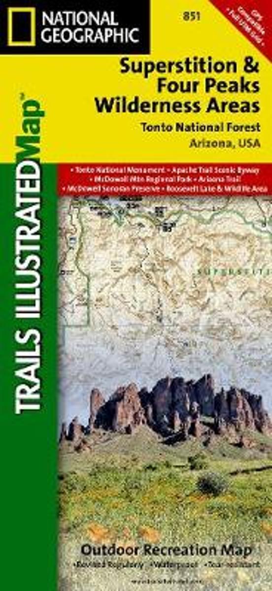
- Superstition & Four Peaks Wilderness Areas, Tonto National Forest
- Waterproof Tear-Resistant Topographic MapOne of the most-visited urban forests in the U.S., with approximately 5.8 million visitors annually, the Tonto National Forest spans almost 3 million acres of diverse terrain just outside of Phoenix, AZ. Tonto encompasses a wide variety of vegetation ranging from cactus-studded desert to... Read more
- Also available from:
- Bol.com, Belgium
- Stanfords, United Kingdom
Bol.com
Belgium
Belgium
- Superstition & Four Peaks Wilderness Areas, Tonto National Forest
- Waterproof Tear-Resistant Topographic MapOne of the most-visited urban forests in the U.S., with approximately 5.8 million visitors annually, the Tonto National Forest spans almost 3 million acres of diverse terrain just outside of Phoenix, AZ. Tonto encompasses a wide variety of vegetation ranging from cactus-studded desert to... Read more

Stanfords
United Kingdom
United Kingdom
- Superstition & Four Peaks Wilderness Areas - Tonto National Forest AZ
- Map No. 851, Tonto National Forest: Superstition and Four Peaks Wilderness Areas, AZ, in an extensive series of GPS compatible, contoured hiking maps of USA’s national and state parks or forests and other popular recreational areas. Cartography based on the national topographic survey, with additional tourist information.The maps, with most... Read more

Stanfords
United Kingdom
United Kingdom
- Phoenix Borch
- Laminated waterproof, indexed plan of Phoenix at 1:105,000 from Borch, with maps of downtown Phoenix, downtown Scottsdale, Arizona, Heritage Square, and Sky Harbor international airport. The main map shows the road network and most streets, with main roads named; rail and bus lines and stops are clearly marked. Points of interest such as... Read more

Stanfords
United Kingdom
United Kingdom
- Arizona Recreational Atlas & Gazetteer
- Arizona Recreational Atlas & Gazetteer at 1:245,000 approx., with the Grand Canyon area at 1:100,000, in a series of large format paperback state atlases from DeLorme, with detailed, contoured, GPS compatible topographic mapping. Recreational information includes lists of campgrounds, wildlife viewing sites (listing both species and... Read more