
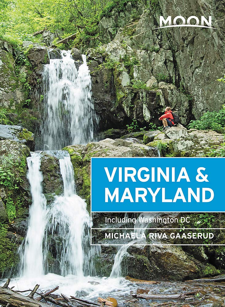
Maryland
Beschrijving
Maryland, "America in miniature", offers a variety of landscapes, worthwhile to explore.
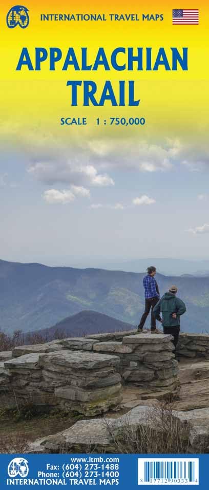
This relatively small New England state, bordering on the Atlantic, has a large number of long distance trails. Even the Appalachian Trail touches on Maryland, with 41 miles.
The Great Allegheny Passage (318 miles) runs from Maryland to Washington DC. The all Maryland 185 miles long Chesapeake and Ohio (C&O) Canal Towpath Trail follows the old Chesapeake and Ohio Canal near Potomac River.
Maryland hosts parts of the American Discovery Trail, the East Coast Greenway, the Tuscarora Trail and the Eastern Continental Trail.
Kaart

Paden in deze landsdeel
Links
Feiten
Verslagen
Gidsen en kaarten
Overnachting
Organisaties
Reisorganisaties
GPS
Anders
Boeken
De Zwerver
Netherlands
2020
Netherlands
2020
De Zwerver
Netherlands
2020
Netherlands
2020
- Reisgids Washington DC | Moon Travel Guides
- From strolling the National Mall to hobnobbing at happy hour, get to know the nation`s capital with Moon Washington DC. *Navigate the Neighbourhoods: Follow one of our guided neighbourhood walks through the National Mall, Dupont Circle, U Street, and more*Explore the City: Snap the perfect photo of the Washington Monument, stand where MLK... Read more
- Also available from:
- Stanfords, United Kingdom

Stanfords
United Kingdom
2020
United Kingdom
2020
- Moon Washington DC (Second Edition): Neighborhood Walks, Historic Highlights, Beloved Local Spots
- From strolling the National Mall to hobnobbing at happy hour, get to know the nation`s capital with Moon Washington DC. *Navigate the Neighbourhoods: Follow one of our guided neighbourhood walks through the National Mall, Dupont Circle, U Street, and more*Explore the City: Snap the perfect photo of the Washington Monument, stand where MLK... Read more

De Zwerver
Netherlands
2018
Netherlands
2018
- Wandelgids USA: Appalachian Trail | Conrad Stein Verlag
- Handzame overzichtsgids van deze geweldige en uitdagende lange afstands wandeling in het oosten van de USA: de Appalachian Trail. Het is een ideale gids om de hele tocht voor te bereiden en als basisgids bij je te hebben. Goede beschrijvingen van etappes en veel praktische informatie. Het enige wat mager is zijn dekaarten: goed voor overzicht... Read more

De Zwerver
Netherlands
Netherlands

Bol.com
Netherlands
Netherlands
- Bears We've Met
- Bears We've Met is a compelling narrative of short stories of close encounters with bears spanning more than thirty years of the author's experiences in North America's remote regions. In this documentary the author shares early blunders and tense moments, including humorous and intriguing confrontations, as he and his wife confront the largest... Read more
- Also available from:
- Bol.com, Belgium
Bol.com
Belgium
Belgium
- Bears We've Met
- Bears We've Met is a compelling narrative of short stories of close encounters with bears spanning more than thirty years of the author's experiences in North America's remote regions. In this documentary the author shares early blunders and tense moments, including humorous and intriguing confrontations, as he and his wife confront the largest... Read more
Bol.com
Netherlands
Netherlands
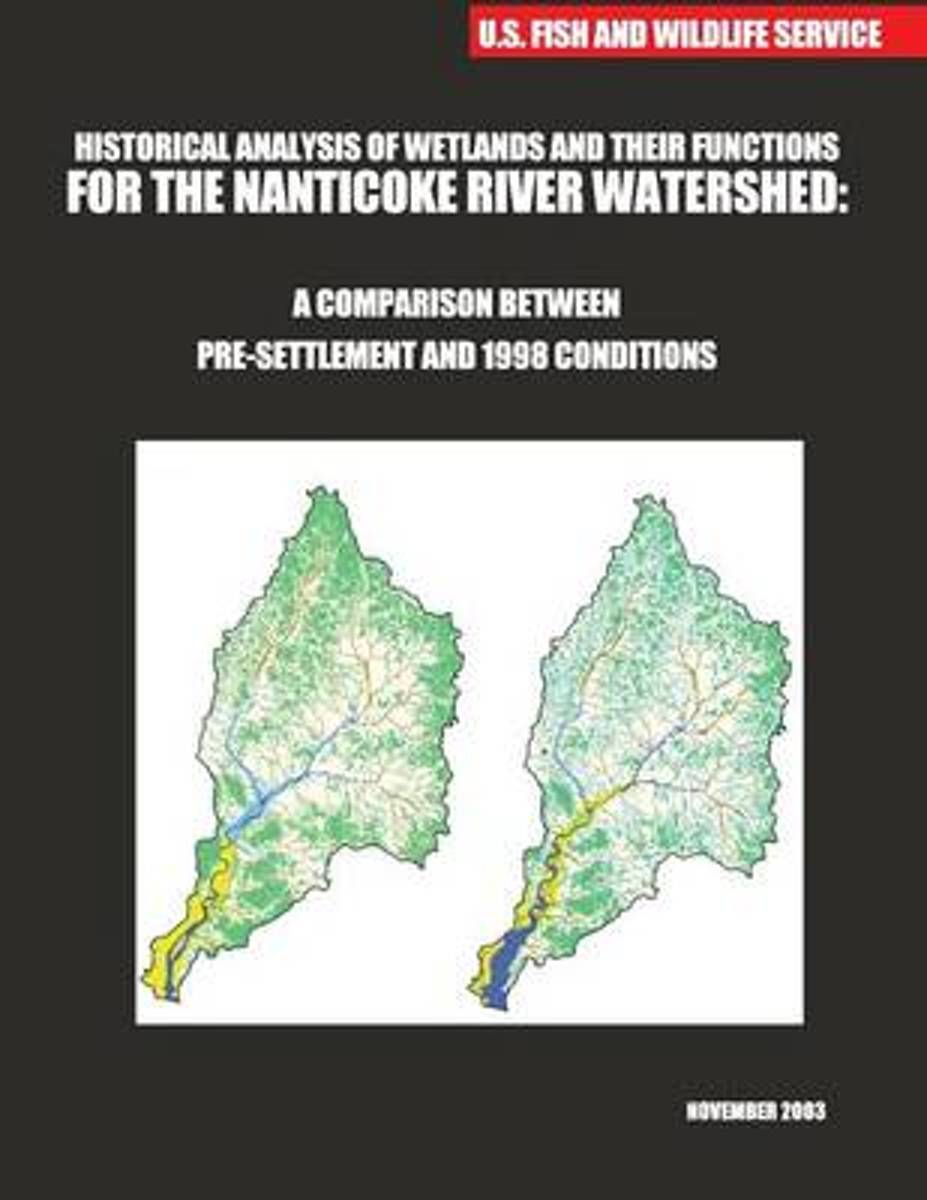
- Historical Analysis of Wetlands and Their Functions for the Nanticoke River Watershed
- The states of Delaware and Maryland are cooperating to investigate and evaluate wetlands of the Nanticoke River watershed. They are collecting data on reference wetlands to gain information on wetland functions and levels of performance for evaluating impacts to presentday wetlands and to develop a watershed-based strategy for wetland... Read more
- Also available from:
- Bol.com, Belgium
Bol.com
Belgium
Belgium
- Historical Analysis of Wetlands and Their Functions for the Nanticoke River Watershed
- The states of Delaware and Maryland are cooperating to investigate and evaluate wetlands of the Nanticoke River watershed. They are collecting data on reference wetlands to gain information on wetland functions and levels of performance for evaluating impacts to presentday wetlands and to develop a watershed-based strategy for wetland... Read more
Bol.com
Netherlands
Netherlands
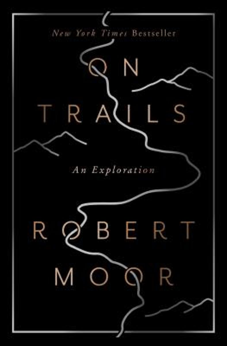
- On Trails
- "Winner of the Pacific Northwest Book Award""The best outdoors book of the year"" —Sierra ClubA New York Times BestsellerA Best Book of the Year—as chosen by The Boston Globe, The Seattle Times, Amazon, National Post, New York magazine, The Telegraph, Booklist, The Guardian BookshopFrom a debut talent who's been compared to Annie Dillard,... Read more
- Also available from:
- Bol.com, Belgium
- The Book Depository, United Kingdom
Bol.com
Belgium
Belgium
- On Trails
- "Winner of the Pacific Northwest Book Award""The best outdoors book of the year"" —Sierra ClubA New York Times BestsellerA Best Book of the Year—as chosen by The Boston Globe, The Seattle Times, Amazon, National Post, New York magazine, The Telegraph, Booklist, The Guardian BookshopFrom a debut talent who's been compared to Annie Dillard,... Read more


Bol.com
Netherlands
Netherlands
- Over the Top & Back Again
- Book of the Year Bronze Award 2010 (travel essays category), ForeWord Magazine After hiking some of the world's great trails, Brandon Wilson was excited to hear about the Via Alpina, paths running across eight countries on the backbone of the Alps. Besides promising immersion into Alpine life and wilderness, it was the ultimate adventure. It... Read more
- Also available from:
- Bol.com, Belgium
Bol.com
Belgium
Belgium
- Over the Top & Back Again
- Book of the Year Bronze Award 2010 (travel essays category), ForeWord Magazine After hiking some of the world's great trails, Brandon Wilson was excited to hear about the Via Alpina, paths running across eight countries on the backbone of the Alps. Besides promising immersion into Alpine life and wilderness, it was the ultimate adventure. It... Read more

Bol.com
Netherlands
Netherlands
- Over the Top & Back Again
- Book of the Year Bronze Award 2010 (travel essays category), ForeWord Magazine After hiking some of the world's great trails, Brandon Wilson was excited to hear about the Via Alpina, paths running across eight countries on the backbone of the Alps. Besides promising immersion into Alpine life and wilderness, it was the ultimate adventure. It... Read more
- Also available from:
- Bol.com, Belgium
Bol.com
Belgium
Belgium
- Over the Top & Back Again
- Book of the Year Bronze Award 2010 (travel essays category), ForeWord Magazine After hiking some of the world's great trails, Brandon Wilson was excited to hear about the Via Alpina, paths running across eight countries on the backbone of the Alps. Besides promising immersion into Alpine life and wilderness, it was the ultimate adventure. It... Read more

Bol.com
Netherlands
Netherlands
- Five-Star Trails
- The definitive guide to hiking in Asheville.Five-Star Trails: Asheville by accomplished hiker and writer Jennifer Pharr Davis covers 35 hikes in the greater Asheville region, from area nature preserves to treks along the Blue Ridge Parkway and in Great Smoky Mountains National Park. The Asheville resident has sought out her favorite hikes, as... Read more
- Also available from:
- Bol.com, Belgium
- The Book Depository, United Kingdom
Bol.com
Belgium
Belgium
- Five-Star Trails
- The definitive guide to hiking in Asheville.Five-Star Trails: Asheville by accomplished hiker and writer Jennifer Pharr Davis covers 35 hikes in the greater Asheville region, from area nature preserves to treks along the Blue Ridge Parkway and in Great Smoky Mountains National Park. The Asheville resident has sought out her favorite hikes, as... Read more

The Book Depository
United Kingdom
United Kingdom
- Five-Star Trails: Asheville
- 35 Spectacular Hikes in the Land of Sky Read more
Bol.com
Netherlands
Netherlands
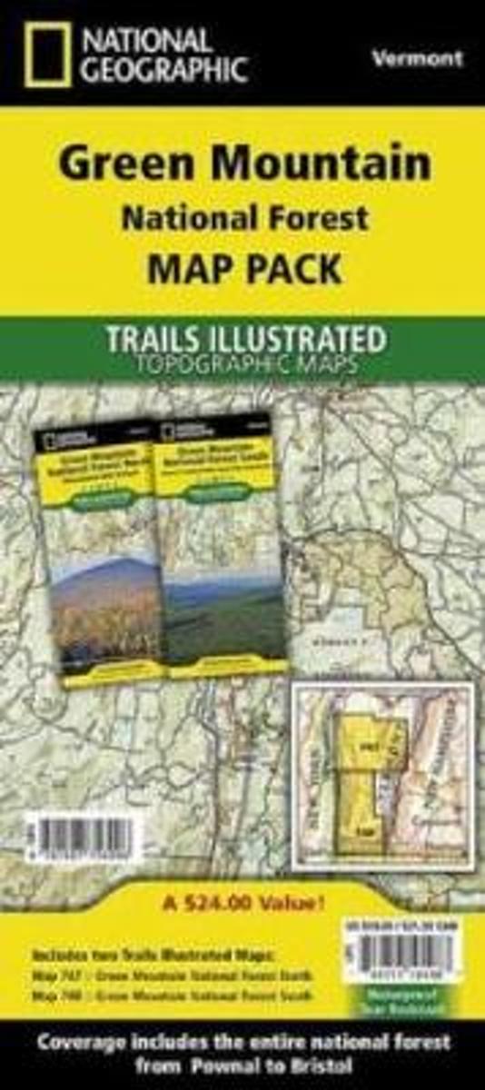
- Green Mountain National Forest, Vermont, Map Pack Bundle
- Waterproof Tear-Resistant Topographic MapThe Green Mountain National Forest Map Pack Bundle is the perfect companion to anyone planning a trip the stunning Green Mountains of Vermont. The Green Mountains are famous for thier rugged peaks and stunning beauty. This Map Pack combines two maps that cover the Green Mountain National Forest in... Read more
- Also available from:
- Bol.com, Belgium
- The Book Depository, United Kingdom
Bol.com
Belgium
Belgium
- Green Mountain National Forest, Vermont, Map Pack Bundle
- Waterproof Tear-Resistant Topographic MapThe Green Mountain National Forest Map Pack Bundle is the perfect companion to anyone planning a trip the stunning Green Mountains of Vermont. The Green Mountains are famous for thier rugged peaks and stunning beauty. This Map Pack combines two maps that cover the Green Mountain National Forest in... Read more

The Book Depository
United Kingdom
United Kingdom
- Green Mountain National Forest, Vermont, Map Pack Bundle
- Trails Illustrated National Parks Read more

Bol.com
Netherlands
Netherlands
- Weekend Walks in the Historic Washington D. C. Region
- Explore the historic sites, monuments, and architecture of America's capital and environs on foot, and at your own pace. An invitation to walk in the footsteps of presidents and patriots, Weekend Walks in the Historic Washington D.C. Region will lead you on self-guided walking tours in the capital city and the most popular and picturesque... Read more
- Also available from:
- Bol.com, Belgium
Bol.com
Belgium
Belgium
- Weekend Walks in the Historic Washington D. C. Region
- Explore the historic sites, monuments, and architecture of America's capital and environs on foot, and at your own pace. An invitation to walk in the footsteps of presidents and patriots, Weekend Walks in the Historic Washington D.C. Region will lead you on self-guided walking tours in the capital city and the most popular and picturesque... Read more
Bol.com
Netherlands
Netherlands
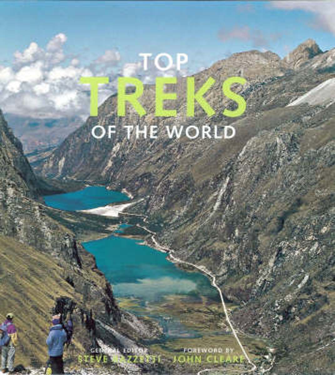
- Top Treks of the World
- Top Treks of the World is a beautifully illustrated, inspirational guide to the best long walks in the world. It uses wonderful mountain and wilderness photography to cover 29 of the best treks in the world, each piece written by an expert on the route. A trek is a walk that takes people away from civilization into a place they could not reach... Read more
- Also available from:
- Bol.com, Belgium
Bol.com
Belgium
Belgium
- Top Treks of the World
- Top Treks of the World is a beautifully illustrated, inspirational guide to the best long walks in the world. It uses wonderful mountain and wilderness photography to cover 29 of the best treks in the world, each piece written by an expert on the route. A trek is a walk that takes people away from civilization into a place they could not reach... Read more
Bol.com
Netherlands
Netherlands
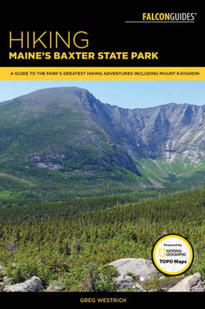
- Hiking Maine's Baxter State Park
- From Grand Pitch on remote Webster Stream to the blueberry covered summit of The Sentinel to dozens of waterfalls and swimming holes on Howe Brook, Hiking Maine's Baxter State Park is your source for detailed hike descriptions, maps, and color photos for Baxter State Park's best hikes. Also included are iconic routes up Katahdin, easy walks to... Read more
- Also available from:
- Bol.com, Belgium
- The Book Depository, United Kingdom
Bol.com
Belgium
Belgium
- Hiking Maine's Baxter State Park
- From Grand Pitch on remote Webster Stream to the blueberry covered summit of The Sentinel to dozens of waterfalls and swimming holes on Howe Brook, Hiking Maine's Baxter State Park is your source for detailed hike descriptions, maps, and color photos for Baxter State Park's best hikes. Also included are iconic routes up Katahdin, easy walks to... Read more

The Book Depository
United Kingdom
United Kingdom
- Hiking Maine's Baxter State Park
- A Guide to the Park's Greatest Hiking Adventures Including Mount Katahdin Read more
Kaarten
De Zwerver
Netherlands
Netherlands
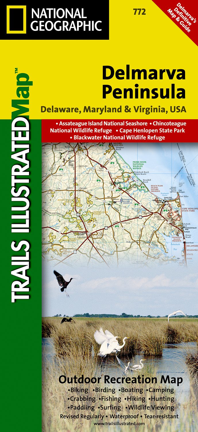
- Wandelkaart - Topografische kaart 772 Delmarva Peninsula | National Geographic
- Prachtige geplastificeerde kaart van het bekende nationaal park. Met alle recreatieve voorzieningen als campsites, maar ook met topografische details en wandelroutes ed. Door uitgekiend kleurgebruik zeer prettig in gebruik. Scheur en watervast! The new Delmarva Trails Illustrated regional topographic recreation map covers all major recreation... Read more
- Also available from:
- Stanfords, United Kingdom

Stanfords
United Kingdom
United Kingdom
- DelMarVa Peninsula - Delaware - Maryland - Virginia Recreational Map
- Map No. 772, DelMarVa Peninsula (Delaware, Maryland, Virginia) Recreational Map, in an extensive series of GPS compatible, contoured hiking maps of USA’s national and state parks or forests and other popular recreational areas. Cartography based on the national topographic survey, with additional tourist information.The maps, with most titles... Read more
Bol.com
Netherlands
Netherlands
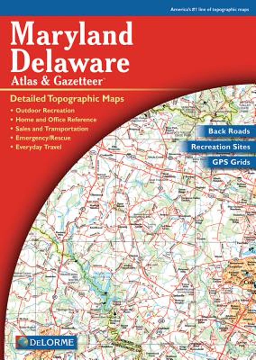
- Maryland-Delaware
- A uniquely useful resource, the Atlas & Gazetteer* Series is great for information on camping, hiking, fishing, hunting, bike and motorcycle touring, birdwatching, back road exploration, and more. A guide is available for all 50 American states. Read more
- Also available from:
- Bol.com, Belgium
- Stanfords, United Kingdom
Bol.com
Belgium
Belgium
- Maryland-Delaware
- A uniquely useful resource, the Atlas & Gazetteer* Series is great for information on camping, hiking, fishing, hunting, bike and motorcycle touring, birdwatching, back road exploration, and more. A guide is available for all 50 American states. Read more

Stanfords
United Kingdom
United Kingdom
- Maryland & Delaware Recreationa Atlas & Gazetteer
- Maryland and Delaware Recreational Atlas & Gazetteer at 1:100,000 approx. in a series of large format paperback state atlases from DeLorme, with detailed, contoured, GPS compatible topographic mapping. Additional maps provide information on the ecology of the Chesapeake Bay, showing habitats of blue crab, eastern oyster, plus hard and soft... Read more

Bol.com
Netherlands
Netherlands
- Springer & Cohutta Mountains, Chattahoochee National Forest
- Waterproof Tear-Resistant Topographic MapLocated just north of Atlanta, the Chattahoochee National Forest contains the southern terminus of the Appalachian Trail along with an abundance of recreational opportunities for outdoor enthusiasts of all interests.This detailed recreation map contains carefully researched trails, campsites,... Read more
- Also available from:
- Bol.com, Belgium
- Stanfords, United Kingdom
Bol.com
Belgium
Belgium
- Springer & Cohutta Mountains, Chattahoochee National Forest
- Waterproof Tear-Resistant Topographic MapLocated just north of Atlanta, the Chattahoochee National Forest contains the southern terminus of the Appalachian Trail along with an abundance of recreational opportunities for outdoor enthusiasts of all interests.This detailed recreation map contains carefully researched trails, campsites,... Read more

Stanfords
United Kingdom
United Kingdom
- Chattahoochee National Forest - Springer and Cohutta Mountains GA/SC 777
- Map No. 777, Chattahoochee National Forest: Springer and Cohutta Mountains, GA/SC, in an extensive series of GPS compatible, contoured hiking maps of USA’s national and state parks or forests and other popular recreational areas. Cartography based on the national topographic survey, with additional tourist information.The maps, with most titles... Read more

De Zwerver
Netherlands
Netherlands
- Wandelkaart - Topografische kaart 318 Mount Rogers High Country - Grayson Highlands State Park | National Geographic
- Prachtige geplastificeerde kaart van het bekende nationaal park. Met alle recreatieve voorzieningen als campsites, maar ook met topografische details en wandelroutes ed. Door uitgekiend kleurgebruik zeer prettig in gebruik. Scheur en watervast! National Geographic's Trails Illustrated map of Mount Rogers High Country and Grayson Highlands... Read more
- Also available from:
- Bol.com, Netherlands
- Bol.com, Belgium
- Stanfords, United Kingdom
- The Book Depository, United Kingdom

Bol.com
Netherlands
Netherlands
- Mount Rogers High Country
- Waterproof Tear-Resistant Topographic MapNational Geographic's Trails Illustrated map of Mount Rogers High Country and Grayson Highlands State Park, Southwest Virginia, is a two-sided, waterproof, topographic trail map designed to meet the needs of outdoor enthusiasts with unmatched durability and detail. This map was created in... Read more
Bol.com
Belgium
Belgium
- Mount Rogers High Country
- Waterproof Tear-Resistant Topographic MapNational Geographic's Trails Illustrated map of Mount Rogers High Country and Grayson Highlands State Park, Southwest Virginia, is a two-sided, waterproof, topographic trail map designed to meet the needs of outdoor enthusiasts with unmatched durability and detail. This map was created in... Read more

Stanfords
United Kingdom
United Kingdom
- Mount Rogers High Country VA
- Map No. 318 - Mount Rogers High Country in Virginia in an extensive series of GPS compatible, contoured hiking maps of USA’s national and state parks or forests and other popular recreational areas. Cartography based on the national topographic survey, with additional tourist information.The maps, with most titles now printed on light,... Read more

The Book Depository
United Kingdom
United Kingdom
- Mount Rogers High Country
- Trails Illustrated Other Rec. Areas Read more

De Zwerver
Netherlands
Netherlands
- Wandelkaart - Topografische kaart 747 Green Mountain National Forest North - Moosalamoo NRA - Rutland | National Geographic
- Prachtige geplastificeerde kaart van het bekende nationaal park. Met alle recreatieve voorzieningen als campsites, maar ook met topografische details en wandelroutes ed. Door uitgekiend kleurgebruik zeer prettig in gebruik. Scheur en watervast! National Geographic's Green Mountain National Forest North Trails Illustrated topographic map is... Read more
- Also available from:
- Bol.com, Netherlands
- Bol.com, Belgium
- Stanfords, United Kingdom
- The Book Depository, United Kingdom

Bol.com
Netherlands
Netherlands
- Green Mountains N.F., Moosalamoo NRA/Rutland
- Waterproof Tear-Resistant Topographic MapNational Geographic's Green Mountain National Forest North Trails Illustrated topographic map is the most comprehensive available for outdoor enthusiasts of all types. Designed to be easy-to-read, yet highly detailed this map includes a comprehensive road and trail network distinguishing between... Read more
Bol.com
Belgium
Belgium
- Green Mountains N.F., Moosalamoo NRA/Rutland
- Waterproof Tear-Resistant Topographic MapNational Geographic's Green Mountain National Forest North Trails Illustrated topographic map is the most comprehensive available for outdoor enthusiasts of all types. Designed to be easy-to-read, yet highly detailed this map includes a comprehensive road and trail network distinguishing between... Read more

Stanfords
United Kingdom
United Kingdom
- Green Mountain National Forest - Moosalamoo NRA - Rutland VT
- Map No. 747, Green Mountain National Forest: Moosalamoo NRA - Rutland area in Vermont, in an extensive series of GPS compatible, contoured hiking maps of USA’s national and state parks or forests and other popular recreational areas. Cartography based on the national topographic survey, with additional tourist information.The maps, with most... Read more

The Book Depository
United Kingdom
United Kingdom
- Green Mountains N.f., Moosalamoo Nra/rutland
- Trails Illustrated Other Rec. Areas Read more

De Zwerver
Netherlands
Netherlands
- Wandelkaart - Topografische kaart 316 Cades Cove - Elkmont - Great Smoky Mountains National Park | National Geographic
- Prachtige geplastificeerde kaart van het bekende nationaal park. Met alle recreatieve voorzieningen als campsites, maar ook met topografische details en wandelroutes ed. Door uitgekiend kleurgebruik zeer prettig in gebruik. Scheur en watervast! This title provides an increased scale of one of the most visited National Parks in the US, and one... Read more
- Also available from:
- Bol.com, Netherlands
- Bol.com, Belgium
- Stanfords, United Kingdom

Bol.com
Netherlands
Netherlands
- Cades Cove/elkmont, Great Smoky Mountains National Park
- Waterproof Tear-Resistant Topographic MapThis title provides an increased scale of one of the most visited National Parks in the US, and one of our more popular map titles. This increased scale will provide greater detail to the backcountry users and Appalachian Trail through-hikers.Park Introduction:Great Smoky Mountains National Park is... Read more
Bol.com
Belgium
Belgium
- Cades Cove/elkmont, Great Smoky Mountains National Park
- Waterproof Tear-Resistant Topographic MapThis title provides an increased scale of one of the most visited National Parks in the US, and one of our more popular map titles. This increased scale will provide greater detail to the backcountry users and Appalachian Trail through-hikers.Park Introduction:Great Smoky Mountains National Park is... Read more

Stanfords
United Kingdom
United Kingdom
- Cades Cove - Elkmont - Great Smoky Mountains National Park NC/TN
- Map No. 316, Great Smoky Mountains National Park: Cades Cove - Elkmont, NC/TN, in an extensive series of GPS compatible, contoured hiking maps of USA’s national and state parks or forests and other popular recreational areas. Cartography based on the national topographic survey, with additional tourist information.The maps, with most titles now... Read more