
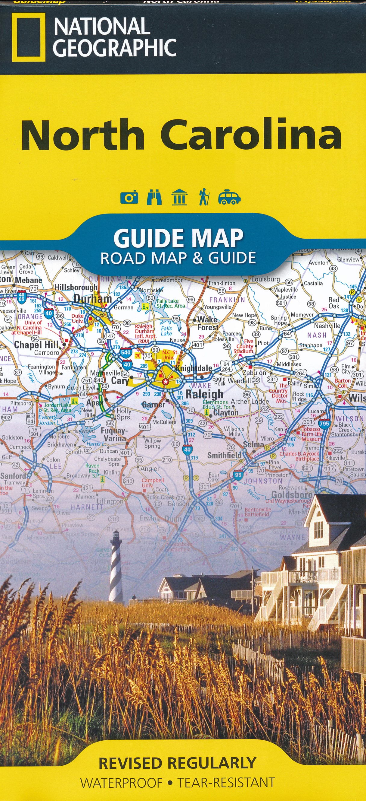
North Carolina
Beschrijving
North Carolina, with its coast on the Atlantic and its Western Tip in the Appalachians, hosts the famous and busy Great Smoky Mountains National Park. South of this park lies the Nantahala National Forest. And north is the Pisgah National Forest. You will find some 2000 miles of trails in these areas.
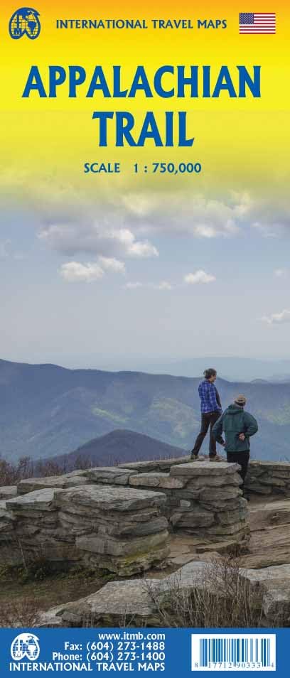
The Appalachian Trail goes through the heart of the Great Smoky Mountains. The Mountains-to-Sea Trail will take you (when it is ready) from the Great Smoky Mountains to the Croatan National Forest and Cape Hatteras National Seashore, some 900 miles.
Interesting is the 300 mile Benton MacKaye Trail, in the remote backcountry of North Carolina, Georgia and Tennesse.
The long East Coast Greenway and Eastern Continental Trail also cross the state.
Kaart

Paden in deze landsdeel
Links
Feiten
Verslagen
Gidsen en kaarten
Overnachting
Organisaties
Reisorganisaties
GPS
Anders
Boeken


De Zwerver
Netherlands
2018
Netherlands
2018
- Wandelgids USA: Appalachian Trail | Conrad Stein Verlag
- Handzame overzichtsgids van deze geweldige en uitdagende lange afstands wandeling in het oosten van de USA: de Appalachian Trail. Het is een ideale gids om de hele tocht voor te bereiden en als basisgids bij je te hebben. Goede beschrijvingen van etappes en veel praktische informatie. Het enige wat mager is zijn dekaarten: goed voor overzicht... Read more

De Zwerver
Netherlands
Netherlands

Bol.com
Netherlands
Netherlands
- End to End in Seven Section Hikes
- These series of descriptive narratives tell about the author's adventures, encounters, struggles and triumphs throughout a period of seven years while section hiking the Appalachian Trail (A.T.). He often looks back at this undertaking with the realization that hiking the A.T. filled his heart and soul with many unforgettable experiences... Read more
- Also available from:
- Bol.com, Belgium
- The Book Depository, United Kingdom
Bol.com
Belgium
Belgium
- End to End in Seven Section Hikes
- These series of descriptive narratives tell about the author's adventures, encounters, struggles and triumphs throughout a period of seven years while section hiking the Appalachian Trail (A.T.). He often looks back at this undertaking with the realization that hiking the A.T. filled his heart and soul with many unforgettable experiences... Read more

The Book Depository
United Kingdom
United Kingdom
- End to End in Seven Section Hikes
- Quality Time Spent on the Appalachian Trail Read more

Bol.com
Netherlands
Netherlands
- Five Years on the Appalachian Trail
- Springer Mountain, Georgia, April Fools Day, 2007. Rain fell lightly as I took my first steps along this footpath leading to Mt. Katahdin, Maine. I read some books about the trail. This may have been my biggest misconception of the trail but certainly not my last. That night would be the first ever sleeping in a tent. My backpack weighed in... Read more
- Also available from:
- Bol.com, Belgium
- The Book Depository, United Kingdom
Bol.com
Belgium
Belgium
- Five Years on the Appalachian Trail
- Springer Mountain, Georgia, April Fools Day, 2007. Rain fell lightly as I took my first steps along this footpath leading to Mt. Katahdin, Maine. I read some books about the trail. This may have been my biggest misconception of the trail but certainly not my last. That night would be the first ever sleeping in a tent. My backpack weighed in... Read more

Bol.com
Netherlands
Netherlands
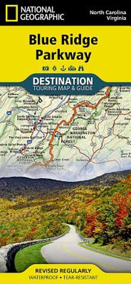
- Blue Ridge Parkway, USA
- Waterproof Tear-Resistant Travel MapThe Blue Ridge Parkway is a winding route that traverses some of America's most picturesque scenery. The Parkway is America's most visited National Park unit and when combined with Skyline Drive through Shenandoah National Park, also covered in detail on this map, a travel experience of over almost 600... Read more
- Also available from:
- Bol.com, Belgium
Bol.com
Belgium
Belgium
- Blue Ridge Parkway, USA
- Waterproof Tear-Resistant Travel MapThe Blue Ridge Parkway is a winding route that traverses some of America's most picturesque scenery. The Parkway is America's most visited National Park unit and when combined with Skyline Drive through Shenandoah National Park, also covered in detail on this map, a travel experience of over almost 600... Read more

Bol.com
Netherlands
2016
Netherlands
2016
- Moon Blue Ridge & Smoky Mountains (2nd ed)
- Travel writer Jason Frye offers his firsthand experience and advice on the Blue Ridge and Smoky Mountainsincluding North Carolina High Country, Great Smoky Mountains National Park, and the Cherokee Indian Reservation. Huso includes travel strategies, such as More Than a Drive: Top Hikes Off the BRP and The 3-Day Best of the Smokies. Complete... Read more
- Also available from:
- Bol.com, Belgium
Bol.com
Belgium
2016
Belgium
2016
- Moon Blue Ridge & Smoky Mountains (2nd ed)
- Travel writer Jason Frye offers his firsthand experience and advice on the Blue Ridge and Smoky Mountainsincluding North Carolina High Country, Great Smoky Mountains National Park, and the Cherokee Indian Reservation. Huso includes travel strategies, such as More Than a Drive: Top Hikes Off the BRP and The 3-Day Best of the Smokies. Complete... Read more
Bol.com
Netherlands
Netherlands
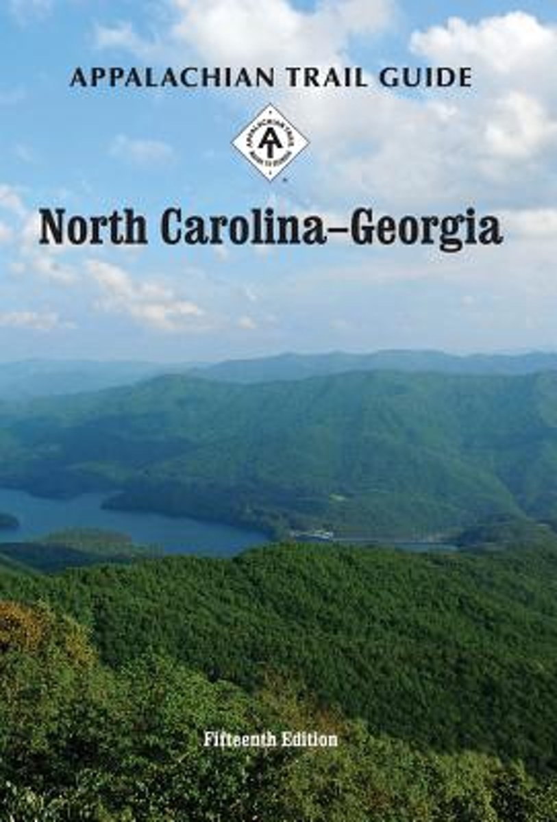
- Appalachian Trail Guide to North Carolina-Georgia
- The official guide to the 238 miles of the Appalachian Trail from its southern terminus on Springer Mountain in Georgia (about an hour north of Atlanta) to the eastern boundary of Great Smoky Mountains National Park on the North Carolina-Tennessee border. This guidebook comes with four five-color topographic maps printed on two sheets of... Read more
- Also available from:
- Bol.com, Belgium
Bol.com
Belgium
Belgium
- Appalachian Trail Guide to North Carolina-Georgia
- The official guide to the 238 miles of the Appalachian Trail from its southern terminus on Springer Mountain in Georgia (about an hour north of Atlanta) to the eastern boundary of Great Smoky Mountains National Park on the North Carolina-Tennessee border. This guidebook comes with four five-color topographic maps printed on two sheets of... Read more

Bol.com
Netherlands
Netherlands
- Hiking North Carolina
- From the Great Smokies and the Blue Ridge Parkway to the Piedmont and the Outer Banks, this thoroughly updated and revised guide features more than 200 hiking trails in all regions of the state. Read more
- Also available from:
- Bol.com, Belgium
Bol.com
Belgium
Belgium
- Hiking North Carolina
- From the Great Smokies and the Blue Ridge Parkway to the Piedmont and the Outer Banks, this thoroughly updated and revised guide features more than 200 hiking trails in all regions of the state. Read more

Bol.com
Netherlands
Netherlands
- The North Carolina Birding Trail
- North Carolina harbors an incredible diversity of habitats that provide food and shelter for more than 440 bird species throughout the year, making the state a destination for birders and nature lovers. The North Carolina Birding Trail is a driving trail linking birders and tourists with great birding sites across the state and the local... Read more
- Also available from:
- Bol.com, Belgium
Bol.com
Belgium
Belgium
- The North Carolina Birding Trail
- North Carolina harbors an incredible diversity of habitats that provide food and shelter for more than 440 bird species throughout the year, making the state a destination for birders and nature lovers. The North Carolina Birding Trail is a driving trail linking birders and tourists with great birding sites across the state and the local... Read more

Bol.com
Netherlands
Netherlands
- Southern Appalachian Day Hikes
- Plan your outdoor hiking adventure with this invaluable and up-to-date guide of day hikes within the Pisgah National Forest - Pisgah Ranger District. This book provides details for over 30 hikes that can be completed in one day and providing a variety of scenic views - from gentle forest strolls to high elevation climbs all within driving... Read more
- Also available from:
- Bol.com, Belgium
Bol.com
Belgium
Belgium
- Southern Appalachian Day Hikes
- Plan your outdoor hiking adventure with this invaluable and up-to-date guide of day hikes within the Pisgah National Forest - Pisgah Ranger District. This book provides details for over 30 hikes that can be completed in one day and providing a variety of scenic views - from gentle forest strolls to high elevation climbs all within driving... Read more
Bol.com
Netherlands
Netherlands
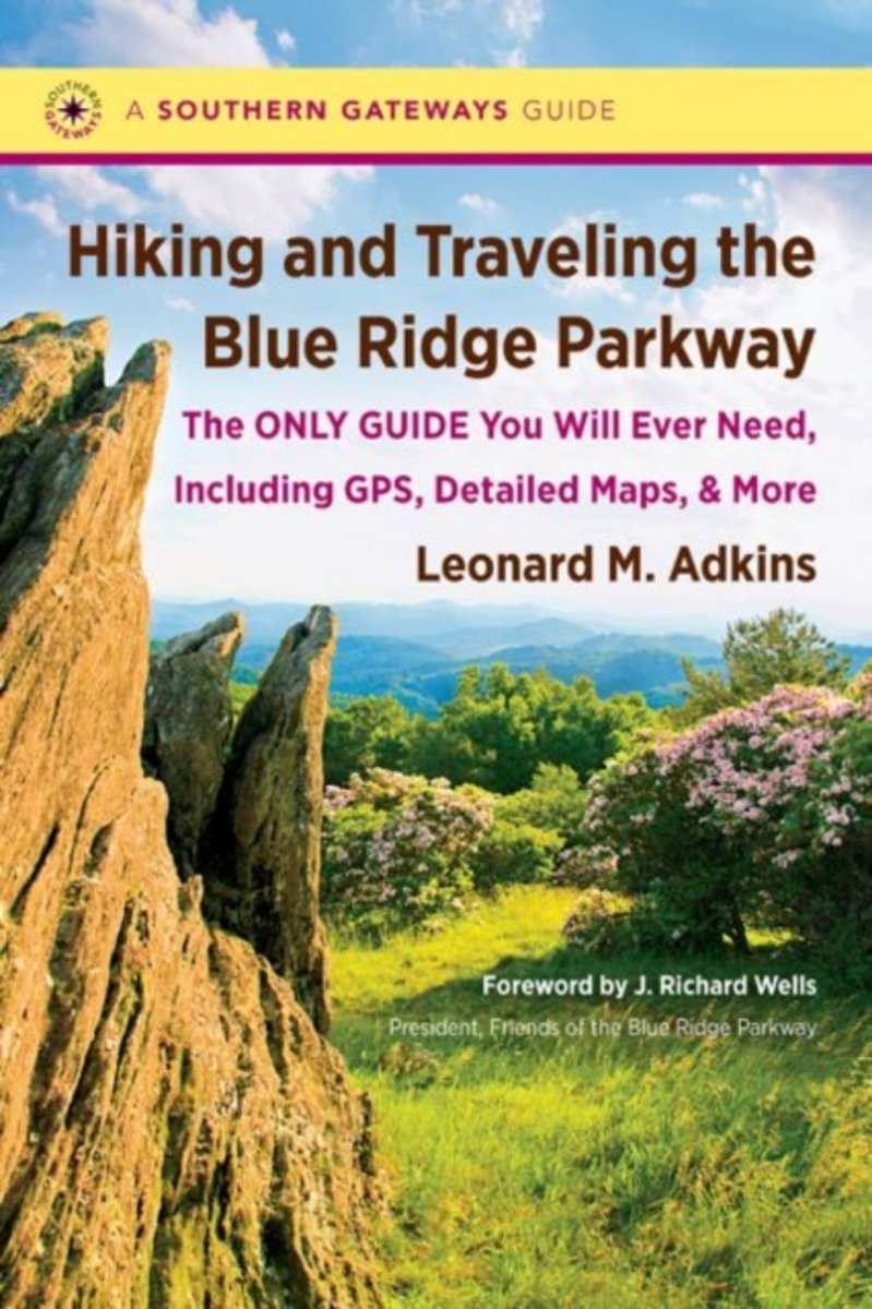
- Hiking and Traveling the Blue Ridge Parkway
- This comprehensive guidebook provides a detailed description of every official trail along the Blue Ridge Parkway. But that's just the beginning: veteran hiker Leonard M. Adkins includes information on every trail that touches the Parkway, including the Appalachian Trail, the Mountains-to-Sea Trail, and other public pathways on national park,... Read more
- Also available from:
- Bol.com, Belgium
Bol.com
Belgium
Belgium
- Hiking and Traveling the Blue Ridge Parkway
- This comprehensive guidebook provides a detailed description of every official trail along the Blue Ridge Parkway. But that's just the beginning: veteran hiker Leonard M. Adkins includes information on every trail that touches the Parkway, including the Appalachian Trail, the Mountains-to-Sea Trail, and other public pathways on national park,... Read more
Bol.com
Netherlands
Netherlands
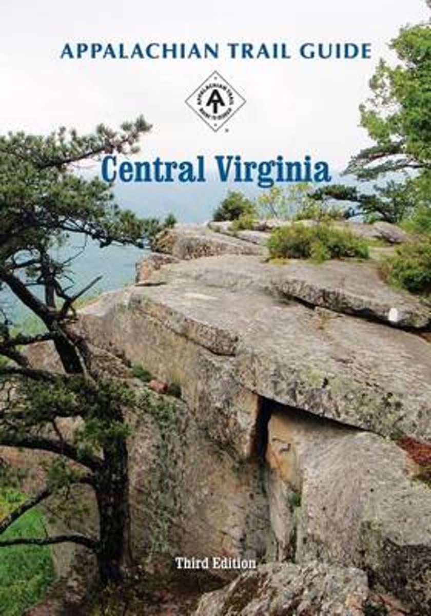
- Appalachian Trail Guide to Central Virginia
- Appalachian Trail Guide to Central Virginia contains: Read more
- Also available from:
- Bol.com, Belgium
Bol.com
Belgium
Belgium
- Appalachian Trail Guide to Central Virginia
- Appalachian Trail Guide to Central Virginia contains: Read more

Bol.com
Netherlands
Netherlands
- A Walk in the Woods
- In the company of his friend Stephen Katz (last seen in the bestselling Neither Here nor There), Bill Bryson set off to hike the Appalachian Trail, the longest continuous footpath in the world. Ahead lay almost 2,200 miles of remote mountain wilderness filled with bears, moose, bobcats, rattlesnakes, poisonous plants, disease-bearing tics, the... Read more
- Also available from:
- Bol.com, Belgium
Bol.com
Belgium
Belgium
- A Walk in the Woods
- In the company of his friend Stephen Katz (last seen in the bestselling Neither Here nor There), Bill Bryson set off to hike the Appalachian Trail, the longest continuous footpath in the world. Ahead lay almost 2,200 miles of remote mountain wilderness filled with bears, moose, bobcats, rattlesnakes, poisonous plants, disease-bearing tics, the... Read more

Bol.com
Netherlands
Netherlands
- Moving to the Mountains
- If you're thinking about where you want to move to live out your dreams, or if you're considering retiring to an exciting new area, MOVING TO THE MOUNTAINS by award-winning author Lan Sluder covers everything you want to know about Asheville and the North Carolina mountains, consistently rated as one of the top places to live in the United... Read more
- Also available from:
- Bol.com, Belgium
Bol.com
Belgium
Belgium
- Moving to the Mountains
- If you're thinking about where you want to move to live out your dreams, or if you're considering retiring to an exciting new area, MOVING TO THE MOUNTAINS by award-winning author Lan Sluder covers everything you want to know about Asheville and the North Carolina mountains, consistently rated as one of the top places to live in the United... Read more
Kaarten
De Zwerver
Netherlands
Netherlands
De Zwerver
Netherlands
Netherlands
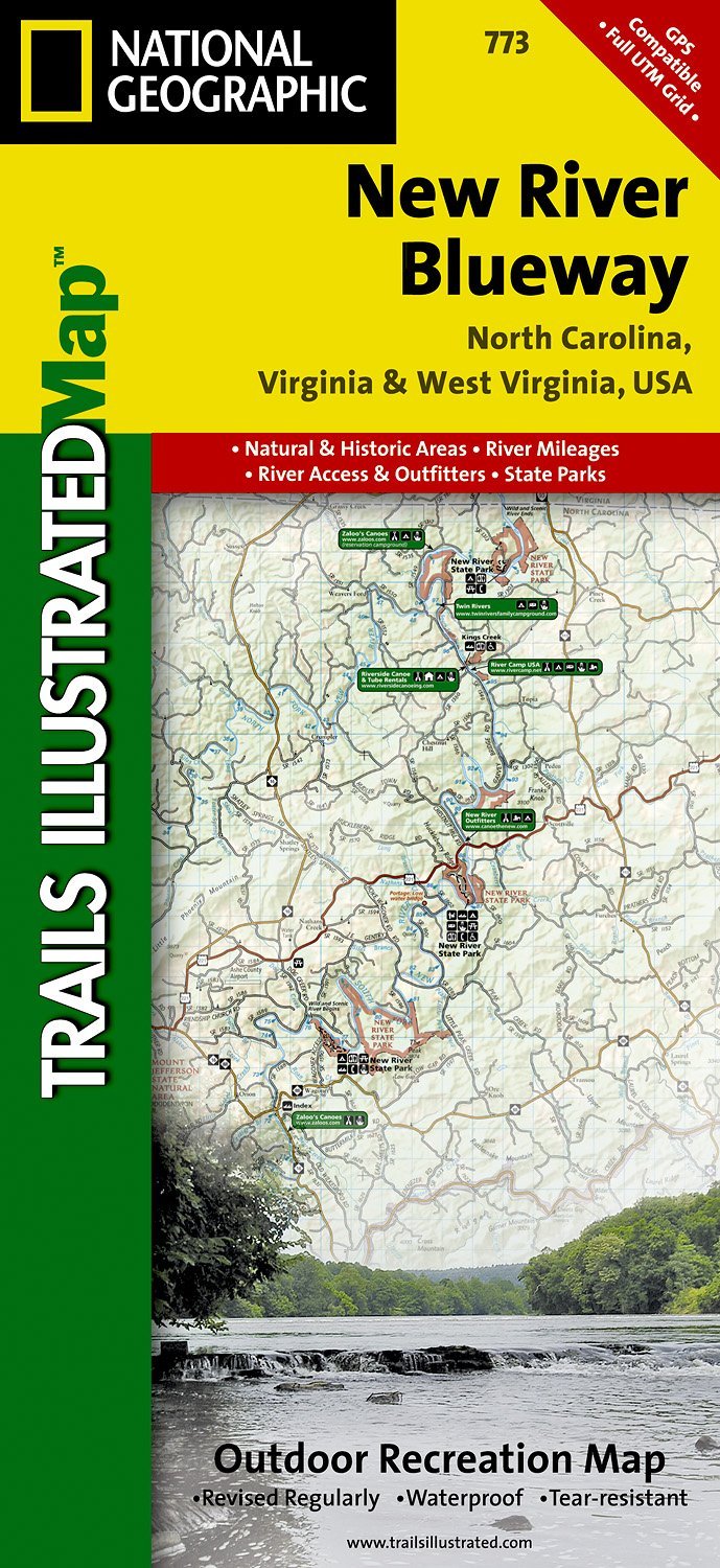
- Wandelkaart - Topografische kaart 773 New River Blueway | National Geographic
- Prachtige geplastificeerde kaart van het bekende nationaal park. Met alle recreatieve voorzieningen als campsites, maar ook met topografische details en wandelroutes ed. Door uitgekiend kleurgebruik zeer prettig in gebruik. Scheur en watervast! George Washington Nat. Forest, Jefferson Nat. Forest, New River Canoe Trail, Claytor Lake State Park,... Read more
- Also available from:
- Stanfords, United Kingdom

Stanfords
United Kingdom
United Kingdom
- New River Blueway NC/VA/WV
- Map No. 773, New River Blueway, NC/VA/WV, in an extensive series of GPS compatible, contoured hiking maps of USA’s national and state parks or forests and other popular recreational areas. Cartography based on the national topographic survey, with additional tourist information.The maps, with most titles now printed on light, waterproof and... Read more

De Zwerver
Netherlands
Netherlands
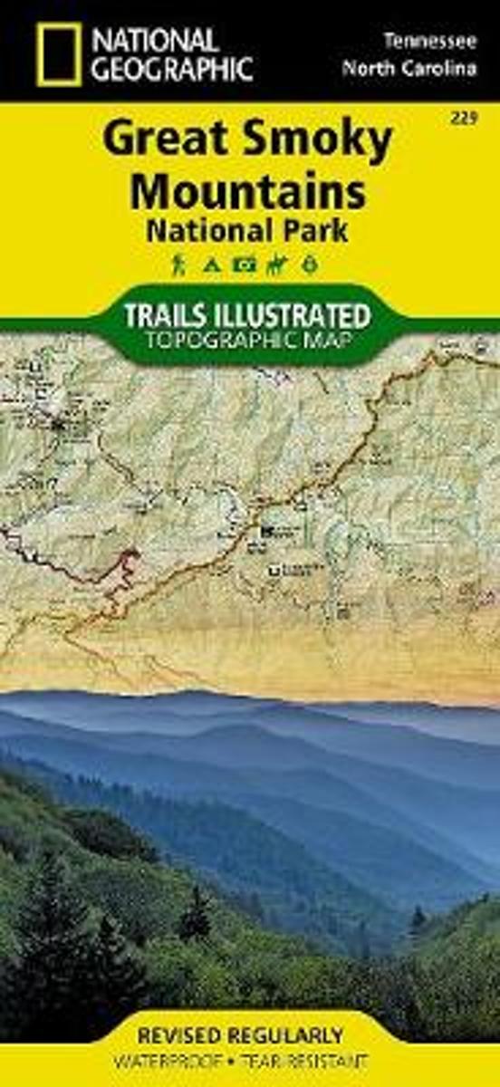
- Wandelkaart - Topografische kaart 316 Cades Cove - Elkmont - Great Smoky Mountains National Park | National Geographic
- Prachtige geplastificeerde kaart van het bekende nationaal park. Met alle recreatieve voorzieningen als campsites, maar ook met topografische details en wandelroutes ed. Door uitgekiend kleurgebruik zeer prettig in gebruik. Scheur en watervast! This title provides an increased scale of one of the most visited National Parks in the US, and one... Read more
- Also available from:
- Bol.com, Netherlands
- Bol.com, Belgium
- Stanfords, United Kingdom

Bol.com
Netherlands
Netherlands
- Cades Cove/elkmont, Great Smoky Mountains National Park
- Waterproof Tear-Resistant Topographic MapThis title provides an increased scale of one of the most visited National Parks in the US, and one of our more popular map titles. This increased scale will provide greater detail to the backcountry users and Appalachian Trail through-hikers.Park Introduction:Great Smoky Mountains National Park is... Read more
Bol.com
Belgium
Belgium
- Cades Cove/elkmont, Great Smoky Mountains National Park
- Waterproof Tear-Resistant Topographic MapThis title provides an increased scale of one of the most visited National Parks in the US, and one of our more popular map titles. This increased scale will provide greater detail to the backcountry users and Appalachian Trail through-hikers.Park Introduction:Great Smoky Mountains National Park is... Read more

Stanfords
United Kingdom
United Kingdom
- Cades Cove - Elkmont - Great Smoky Mountains National Park NC/TN
- Map No. 316, Great Smoky Mountains National Park: Cades Cove - Elkmont, NC/TN, in an extensive series of GPS compatible, contoured hiking maps of USA’s national and state parks or forests and other popular recreational areas. Cartography based on the national topographic survey, with additional tourist information.The maps, with most titles now... Read more
De Zwerver
Netherlands
Netherlands
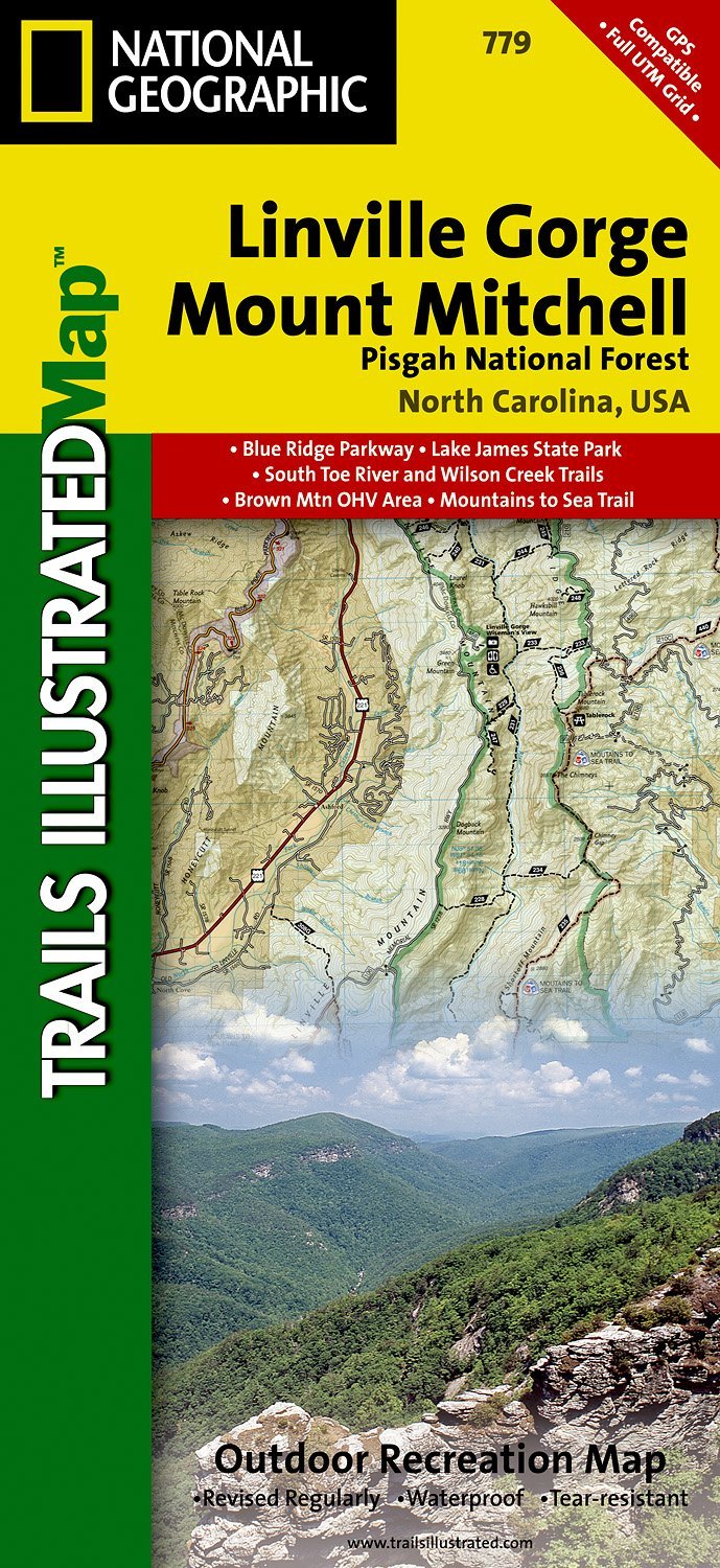
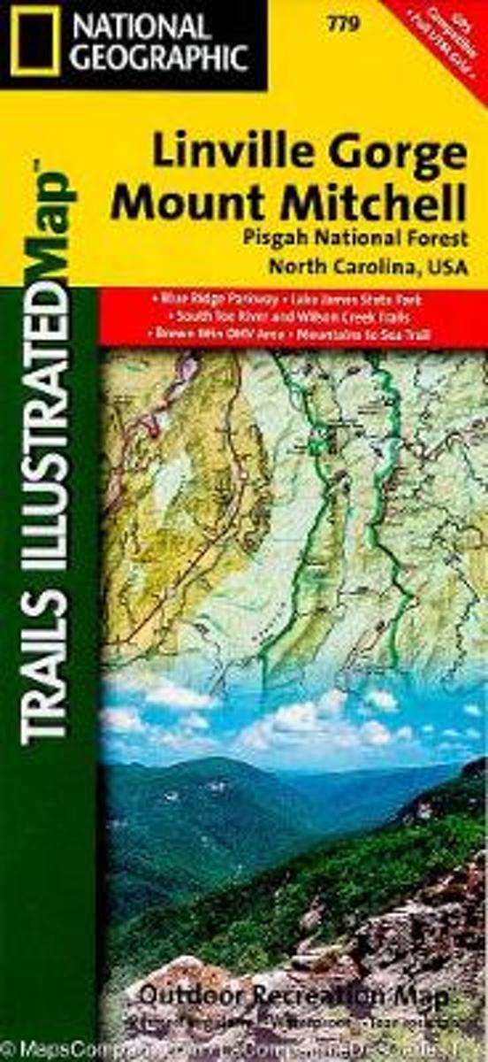
- Wandelkaart - Topografische kaart 779 Linville Gorge - Mount Mitchell - Pisgah National Forest | National Geographic
- Prachtige geplastificeerde kaart van het bekende nationaal park. Met alle recreatieve voorzieningen als campsites, maar ook met topografische details en wandelroutes ed. Door uitgekiend kleurgebruik zeer prettig in gebruik. Scheur en watervast! Coverage includes Pisgah National Forest, Grandfather Ranger District (complete) and Appalachian... Read more
- Also available from:
- Bol.com, Netherlands
- Bol.com, Belgium
- Stanfords, United Kingdom
- The Book Depository, United Kingdom
Bol.com
Netherlands
Netherlands
- Linville Gorge/mount Mitchell, Pisgah National Forest
- Waterproof Tear-Resistant Topographic MapExpertly researched and created in partnership with local land management agencies, National Geographic's Trails Illustrated map of Linville Gorge and Mount Mitchell provides an unparalleled tool for exploring these remarkable features within Pisgah National Forest. This map includes such key areas... Read more
Bol.com
Belgium
Belgium
- Linville Gorge/mount Mitchell, Pisgah National Forest
- Waterproof Tear-Resistant Topographic MapExpertly researched and created in partnership with local land management agencies, National Geographic's Trails Illustrated map of Linville Gorge and Mount Mitchell provides an unparalleled tool for exploring these remarkable features within Pisgah National Forest. This map includes such key areas... Read more

Stanfords
United Kingdom
United Kingdom
- Pisgah National Forest - Linville Gorge - Mt. Mitchell NC
- Map No. 779, Pisgah National Forest: Linville Gorge - Mt. Mitchell, NC, in an extensive series of GPS compatible, contoured hiking maps of USA’s national and state parks or forests and other popular recreational areas. Cartography based on the national topographic survey, with additional tourist information.The maps, with most titles now... Read more

The Book Depository
United Kingdom
United Kingdom
- Linville Gorge/mount Mitchell, Pisgah National Forest
- Trails Illustrated Other Rec. Areas Read more

Bol.com
Netherlands
Netherlands
- Springer & Cohutta Mountains, Chattahoochee National Forest
- Waterproof Tear-Resistant Topographic MapLocated just north of Atlanta, the Chattahoochee National Forest contains the southern terminus of the Appalachian Trail along with an abundance of recreational opportunities for outdoor enthusiasts of all interests.This detailed recreation map contains carefully researched trails, campsites,... Read more
- Also available from:
- Bol.com, Belgium
- Stanfords, United Kingdom
Bol.com
Belgium
Belgium
- Springer & Cohutta Mountains, Chattahoochee National Forest
- Waterproof Tear-Resistant Topographic MapLocated just north of Atlanta, the Chattahoochee National Forest contains the southern terminus of the Appalachian Trail along with an abundance of recreational opportunities for outdoor enthusiasts of all interests.This detailed recreation map contains carefully researched trails, campsites,... Read more

Stanfords
United Kingdom
United Kingdom
- Chattahoochee National Forest - Springer and Cohutta Mountains GA/SC 777
- Map No. 777, Chattahoochee National Forest: Springer and Cohutta Mountains, GA/SC, in an extensive series of GPS compatible, contoured hiking maps of USA’s national and state parks or forests and other popular recreational areas. Cartography based on the national topographic survey, with additional tourist information.The maps, with most titles... Read more

De Zwerver
Netherlands
Netherlands
- Wandelkaart - Topografische kaart 318 Mount Rogers High Country - Grayson Highlands State Park | National Geographic
- Prachtige geplastificeerde kaart van het bekende nationaal park. Met alle recreatieve voorzieningen als campsites, maar ook met topografische details en wandelroutes ed. Door uitgekiend kleurgebruik zeer prettig in gebruik. Scheur en watervast! National Geographic's Trails Illustrated map of Mount Rogers High Country and Grayson Highlands... Read more
- Also available from:
- Bol.com, Netherlands
- Bol.com, Belgium
- Stanfords, United Kingdom
- The Book Depository, United Kingdom

Bol.com
Netherlands
Netherlands
- Mount Rogers High Country
- Waterproof Tear-Resistant Topographic MapNational Geographic's Trails Illustrated map of Mount Rogers High Country and Grayson Highlands State Park, Southwest Virginia, is a two-sided, waterproof, topographic trail map designed to meet the needs of outdoor enthusiasts with unmatched durability and detail. This map was created in... Read more
Bol.com
Belgium
Belgium
- Mount Rogers High Country
- Waterproof Tear-Resistant Topographic MapNational Geographic's Trails Illustrated map of Mount Rogers High Country and Grayson Highlands State Park, Southwest Virginia, is a two-sided, waterproof, topographic trail map designed to meet the needs of outdoor enthusiasts with unmatched durability and detail. This map was created in... Read more

Stanfords
United Kingdom
United Kingdom
- Mount Rogers High Country VA
- Map No. 318 - Mount Rogers High Country in Virginia in an extensive series of GPS compatible, contoured hiking maps of USA’s national and state parks or forests and other popular recreational areas. Cartography based on the national topographic survey, with additional tourist information.The maps, with most titles now printed on light,... Read more

The Book Depository
United Kingdom
United Kingdom
- Mount Rogers High Country
- Trails Illustrated Other Rec. Areas Read more
De Zwerver
Netherlands
Netherlands
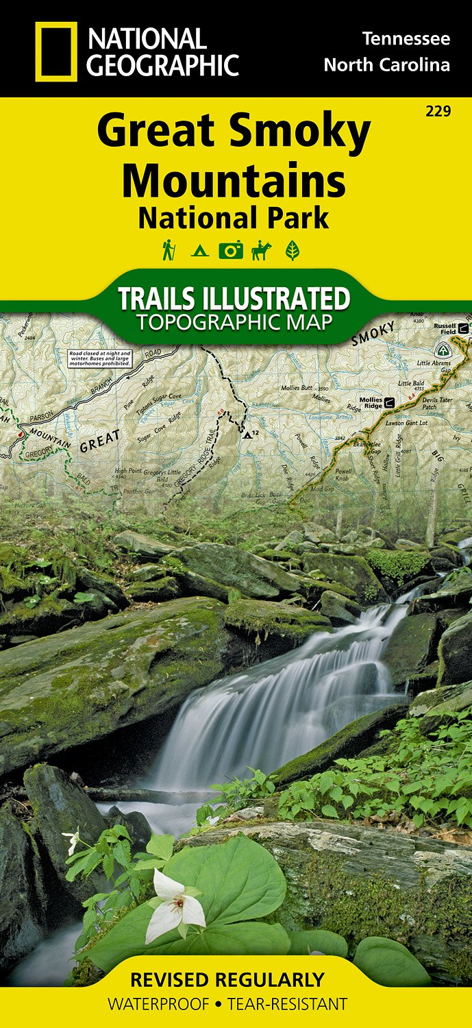
- Wandelkaart 229 Great Smoky Mountains National Park | National Geographic
- Prachtige geplastificeerde kaart van het bekende nationaal park. Met alle recreatieve voorzieningen als campsites, maar ook met topografische details en wandelroutes ed. Door uitgekiend kleurgebruik zeer prettig in gebruik. Scheur en watervast! Map No. 229, Great Smoky Mountains National Park, TN, in an extensive series of GPS compatible,... Read more
- Also available from:
- Bol.com, Netherlands
- Bol.com, Belgium
- Stanfords, United Kingdom
Bol.com
Netherlands
Netherlands
- Great Smoky Mountains National Park
- Waterproof Tear-Resistant Topographic MapAmerica's most visited national park and a UNESCO World Heritage Site, Great Smoky Mountains National Park is both renowned for its diversity of plant and animal life and rich in remnants of Southern Appalachian mountain culture. National Geographic's Trails Illustrated map of the park combines... Read more
Bol.com
Belgium
Belgium
- Great Smoky Mountains National Park
- Waterproof Tear-Resistant Topographic MapAmerica's most visited national park and a UNESCO World Heritage Site, Great Smoky Mountains National Park is both renowned for its diversity of plant and animal life and rich in remnants of Southern Appalachian mountain culture. National Geographic's Trails Illustrated map of the park combines... Read more

Stanfords
United Kingdom
United Kingdom
- Great Smoky Mountains National Park TN NGS Trails Illustrated Map 229
- Map No. 229, Great Smoky Mountains National Park, TN, in an extensive series of GPS compatible, contoured hiking maps of USA’s national and state parks or forests and other popular recreational areas. Cartography based on the national topographic survey, with additional tourist information.The maps, with most titles now printed on light,... Read more

De Zwerver
Netherlands
Netherlands
- Wandelkaart - Topografische kaart 747 Green Mountain National Forest North - Moosalamoo NRA - Rutland | National Geographic
- Prachtige geplastificeerde kaart van het bekende nationaal park. Met alle recreatieve voorzieningen als campsites, maar ook met topografische details en wandelroutes ed. Door uitgekiend kleurgebruik zeer prettig in gebruik. Scheur en watervast! National Geographic's Green Mountain National Forest North Trails Illustrated topographic map is... Read more
- Also available from:
- Bol.com, Netherlands
- Bol.com, Belgium
- Stanfords, United Kingdom
- The Book Depository, United Kingdom

Bol.com
Netherlands
Netherlands
- Green Mountains N.F., Moosalamoo NRA/Rutland
- Waterproof Tear-Resistant Topographic MapNational Geographic's Green Mountain National Forest North Trails Illustrated topographic map is the most comprehensive available for outdoor enthusiasts of all types. Designed to be easy-to-read, yet highly detailed this map includes a comprehensive road and trail network distinguishing between... Read more
Bol.com
Belgium
Belgium
- Green Mountains N.F., Moosalamoo NRA/Rutland
- Waterproof Tear-Resistant Topographic MapNational Geographic's Green Mountain National Forest North Trails Illustrated topographic map is the most comprehensive available for outdoor enthusiasts of all types. Designed to be easy-to-read, yet highly detailed this map includes a comprehensive road and trail network distinguishing between... Read more

Stanfords
United Kingdom
United Kingdom
- Green Mountain National Forest - Moosalamoo NRA - Rutland VT
- Map No. 747, Green Mountain National Forest: Moosalamoo NRA - Rutland area in Vermont, in an extensive series of GPS compatible, contoured hiking maps of USA’s national and state parks or forests and other popular recreational areas. Cartography based on the national topographic survey, with additional tourist information.The maps, with most... Read more

The Book Depository
United Kingdom
United Kingdom
- Green Mountains N.f., Moosalamoo Nra/rutland
- Trails Illustrated Other Rec. Areas Read more