
Oregon
Beschrijving
Oregon, beautiful state on the Pacific Ocean, includes the high Cascade Range.
The Pacific Crest Trail offers 462 miles of hiking in Oregon. A bit lower is the 120 mile Metolius-Windigo Trail. An opportunity to explore the ocean is the 382 mile Oregon Coast Trail. The Fremont National Forest offers you the 134 mile Fremont National Recreation Trail.
Among the best, mainly mountainous, hiking areas are the Wallowa-Whitman National Forest, Willamette National Forest, Mount Hood National Forest, Umatilla National Forest, Umpqua National Forest, Deschutes National Forest. The list is longer, though.
Kaart

Paden in deze landsdeel
Links
Feiten
Verslagen
Gidsen en kaarten
Overnachting
Organisaties
Reisorganisaties
GPS
Anders
Boeken

De Zwerver
Netherlands
2018
Netherlands
2018
De Zwerver
Netherlands
2022
Netherlands
2022
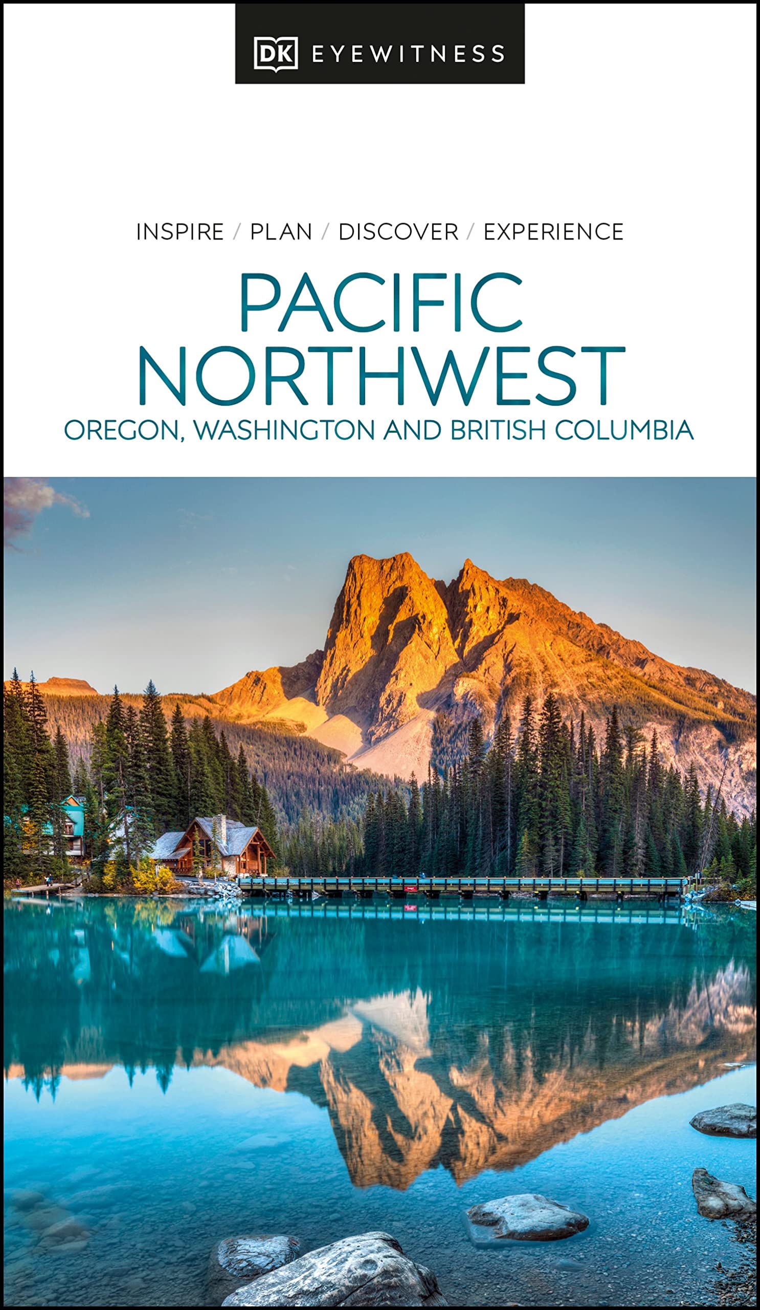
- Reisgids Eyewitness Travel USA- Canada the Pacific Northwest | Dorling Kindersley
- Marrying vibrant cities with impeccable wilderness, the Pacific Northwest is as rich as it is diverse.Whether you want to drive along epic coastal highways, hike the pristine paths of Yoho National Park, or tuck into succulent street food in Portland, your DK Eyewitness travel guide makes sure you experience all that the Pacific Northwest has... Read more
- Also available from:
- Stanfords, United Kingdom

Stanfords
United Kingdom
2022
United Kingdom
2022
- DK Eyewitness Pacific Northwest
- Marrying vibrant cities with impeccable wilderness, the Pacific Northwest is as rich as it is diverse.Whether you want to drive along epic coastal highways, hike the pristine paths of Yoho National Park, or tuck into succulent street food in Portland, your DK Eyewitness travel guide makes sure you experience all that the Pacific Northwest has... Read more

De Zwerver
Netherlands
Netherlands
- Reisverhaal Six Months With Three Pairs Of Undies | André De Jel, Lian De Jel
- The Pacific Crest Trail Read more
De Zwerver
Netherlands
2020
Netherlands
2020

Bol.com
Netherlands
Netherlands
- Oregon High Country
- Volume 1 in a series of photographic journeys through the lesser known segments of Oregon's mountain terrain. The usual tourist attractions are side-stepped in order to showcase the beauty of the roads and trails less traveled. Read more
- Also available from:
- Bol.com, Belgium
Bol.com
Belgium
Belgium
- Oregon High Country
- Volume 1 in a series of photographic journeys through the lesser known segments of Oregon's mountain terrain. The usual tourist attractions are side-stepped in order to showcase the beauty of the roads and trails less traveled. Read more
Bol.com
Netherlands
Netherlands
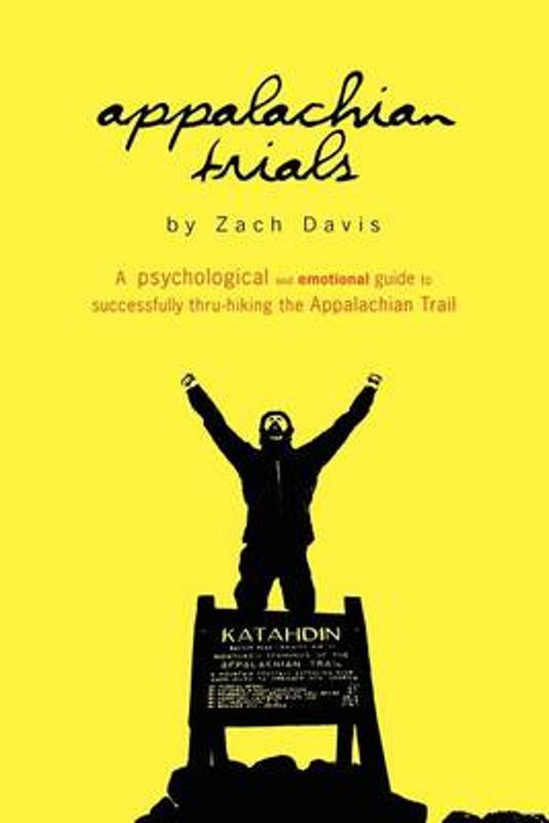
- Appalachian Trials
- "I really loved it...Appalachian Trials is full of specific tactical tips for mental preparation, which is key well beyond the AT." - Tim Ferriss, author of New York Times Best Selling The 4-Hour Workweek and The 4-Hour Body Each year, it is estimated that more than 2,000 people set out to thru-hike the Appalachian Trail, yet seven in ten... Read more
- Also available from:
- Bol.com, Belgium
- The Book Depository, United Kingdom
Bol.com
Belgium
Belgium
- Appalachian Trials
- "I really loved it...Appalachian Trials is full of specific tactical tips for mental preparation, which is key well beyond the AT." - Tim Ferriss, author of New York Times Best Selling The 4-Hour Workweek and The 4-Hour Body Each year, it is estimated that more than 2,000 people set out to thru-hike the Appalachian Trail, yet seven in ten... Read more

The Book Depository
United Kingdom
United Kingdom
- Appalachian Trials
- A Psychological and Emotional Guide To Thru-Hike the Appalachian Trail Read more

Bol.com
Netherlands
Netherlands
- Momentum Is Your Friend
- "A reader's trifecta: a humorous travelogue, a stirring adventure tale, and a touching family story." Bart King, author of The Big Book of Boy Stuff Most people bring their inner child on an epic adventure. Joe "Metal Cowboy" Kurmaskie actually took his two kids along. For a 4,000-mile bicycle ride across America, Joe's seven-year-old son,... Read more
- Also available from:
- Bol.com, Belgium
Bol.com
Belgium
Belgium
- Momentum Is Your Friend
- "A reader's trifecta: a humorous travelogue, a stirring adventure tale, and a touching family story." Bart King, author of The Big Book of Boy Stuff Most people bring their inner child on an epic adventure. Joe "Metal Cowboy" Kurmaskie actually took his two kids along. For a 4,000-mile bicycle ride across America, Joe's seven-year-old son,... Read more
Bol.com
Netherlands
Netherlands
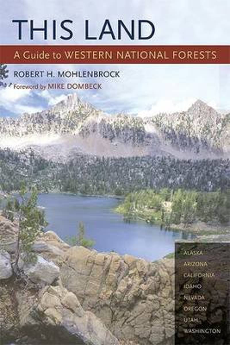
- This Land
- Part armchair travelogue, part guide book, this projected three-volume series - divided into the western, central, and eastern United States - will introduce readers to all 155 national forests across the country. This Land is the only comprehensive field guide that describes the natural features, wildernesses, scenic drives, campgrounds, and... Read more
- Also available from:
- Bol.com, Belgium
Bol.com
Belgium
Belgium
- This Land
- Part armchair travelogue, part guide book, this projected three-volume series - divided into the western, central, and eastern United States - will introduce readers to all 155 national forests across the country. This Land is the only comprehensive field guide that describes the natural features, wildernesses, scenic drives, campgrounds, and... Read more

Bol.com
Netherlands
Netherlands
- Robert Adams
- The subject of Robert Adams's latest book, An Old Forest Road, is the privilege of walking through a little-visited reserve of forest near the photographer's home in the American Northwest Robert Adams’s latest work, An Old Forest Road, is a pensive register of the photographer’s walks along a former logging road near his home in Oregon, made... Read more
- Also available from:
- Bol.com, Belgium
Bol.com
Belgium
Belgium
- Robert Adams
- The subject of Robert Adams's latest book, An Old Forest Road, is the privilege of walking through a little-visited reserve of forest near the photographer's home in the American Northwest Robert Adams’s latest work, An Old Forest Road, is a pensive register of the photographer’s walks along a former logging road near his home in Oregon, made... Read more

Bol.com
Netherlands
Netherlands
- Best Dog Hikes Northern California
- This guidebook reveals the 51 best hiking trails in northern California that are dog friendly. Throughout are full-color maps and photos, helpful tips and sidebars, and tailored hike specs for leash requirements. Also included is information about dog packing and preparation before you hit the trail. The area covers northern California to the... Read more
- Also available from:
- Bol.com, Belgium
Bol.com
Belgium
Belgium
- Best Dog Hikes Northern California
- This guidebook reveals the 51 best hiking trails in northern California that are dog friendly. Throughout are full-color maps and photos, helpful tips and sidebars, and tailored hike specs for leash requirements. Also included is information about dog packing and preparation before you hit the trail. The area covers northern California to the... Read more

Bol.com
Netherlands
Netherlands
- Vagabonda
- Author A. Lynn Ash, aka Vagabonda, roams solo throughout the West. In a tent, a camper, a pickup or tent-trailer, Ash takes you along as she crashes on a snowy mountain road, comes face to face with a bear in the Colorado mountains, and tangles with a troop of rowdy men in Eastern Oregon. Read more
- Also available from:
- Bol.com, Belgium
Bol.com
Belgium
Belgium
- Vagabonda
- Author A. Lynn Ash, aka Vagabonda, roams solo throughout the West. In a tent, a camper, a pickup or tent-trailer, Ash takes you along as she crashes on a snowy mountain road, comes face to face with a bear in the Colorado mountains, and tangles with a troop of rowdy men in Eastern Oregon. Read more
Kaarten
De Zwerver
Netherlands
Netherlands
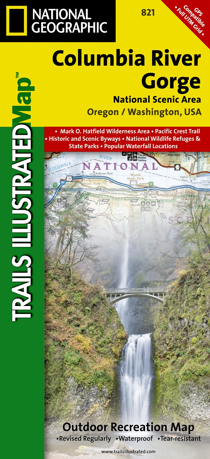
- Wandelkaart - Topografische kaart 821 Columbia River Gorge National Scenic Area | National Geographic
- Prachtige geplastificeerde kaart van het bekende nationaal park. Met alle recreatieve voorzieningen als campsites, maar ook met topografische details en wandelroutes ed. Door uitgekiend kleurgebruik zeer prettig in gebruik. Scheur en watervast! Considered one of the best year-round outdoor recreation areas in the country, the Columbia River... Read more
- Also available from:
- Stanfords, United Kingdom

Stanfords
United Kingdom
United Kingdom
- Columbia River Gorge OR/WA NGS Trails Illustrated Map 821
- Map No. 821, Columbia River Gorge in Oregon and Washington State, in an extensive series of GPS compatible, contoured hiking maps of USA’s national and state parks or forests and other popular recreational areas. Cartography based on the national topographic survey, with additional tourist information.The maps, with most titles now printed on... Read more
De Zwerver
Netherlands
Netherlands
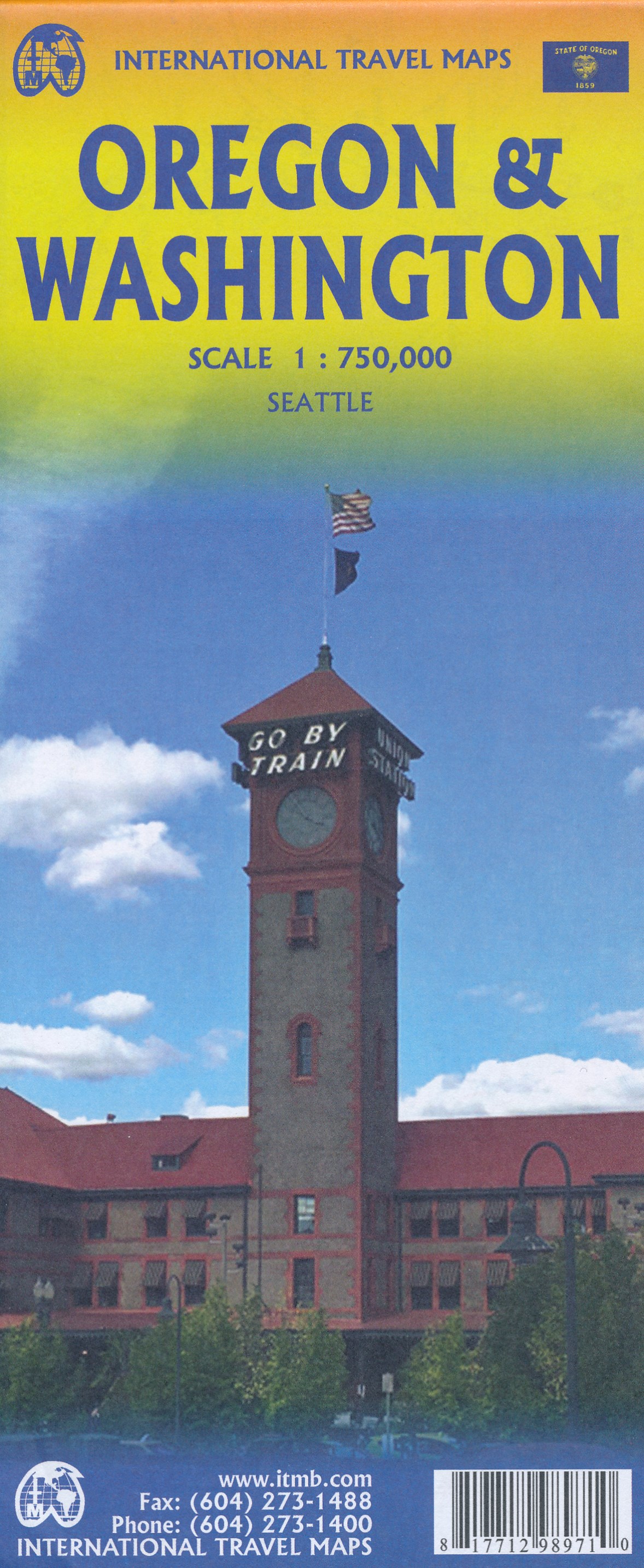
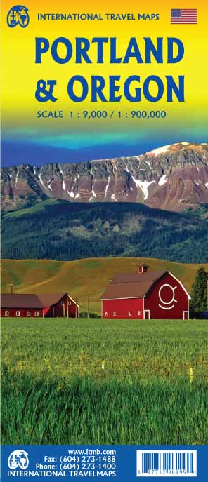
- Wegenkaart - landkaart Washington state - Oregon | ITMB
- Oregon / Washington 1:750 000 ab 10.49 EURO Landkarte, doppelseitig Plan Seattle. 1. Auflage Read more
De Zwerver
Netherlands
2018
Netherlands
2018
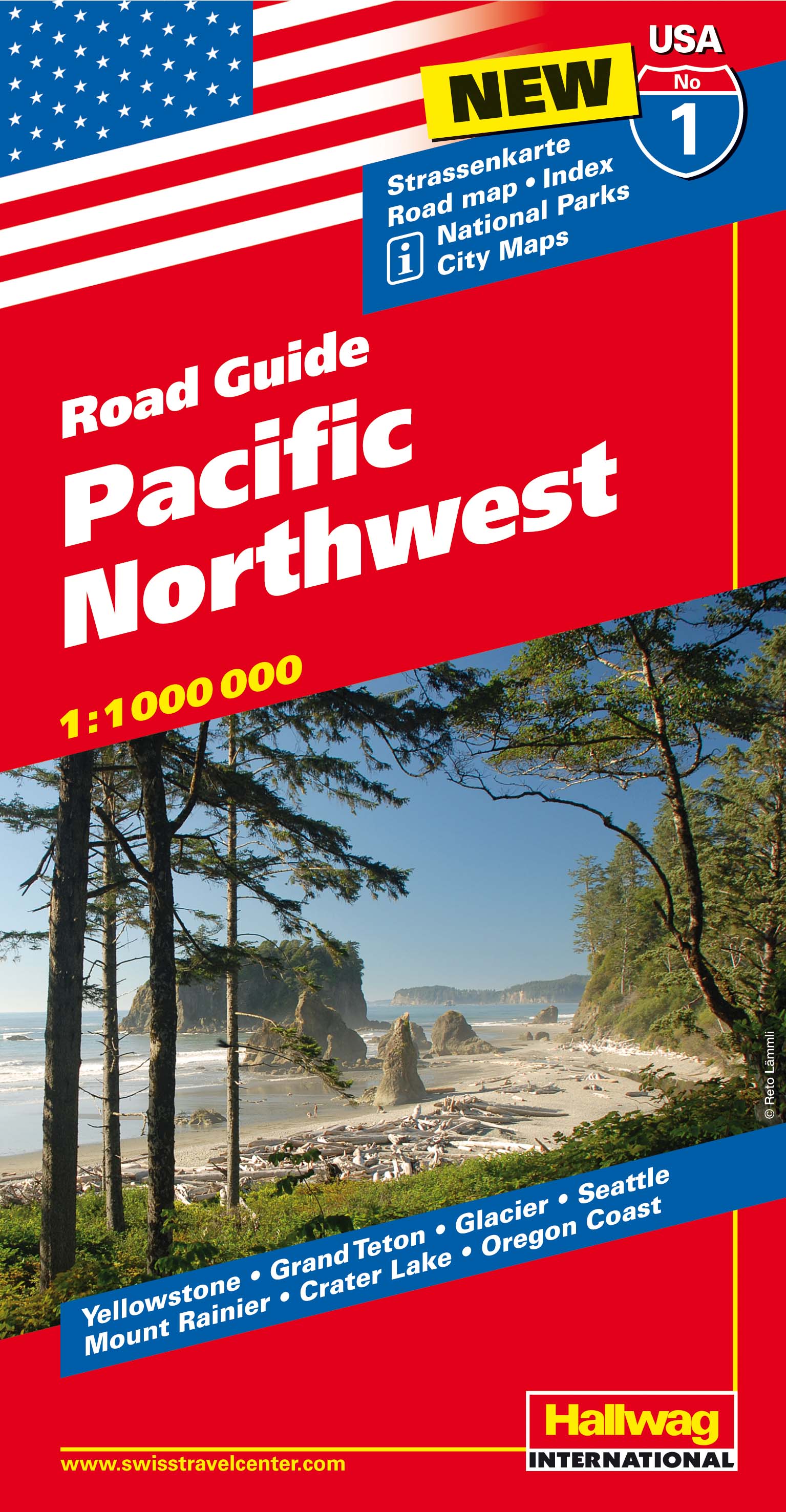
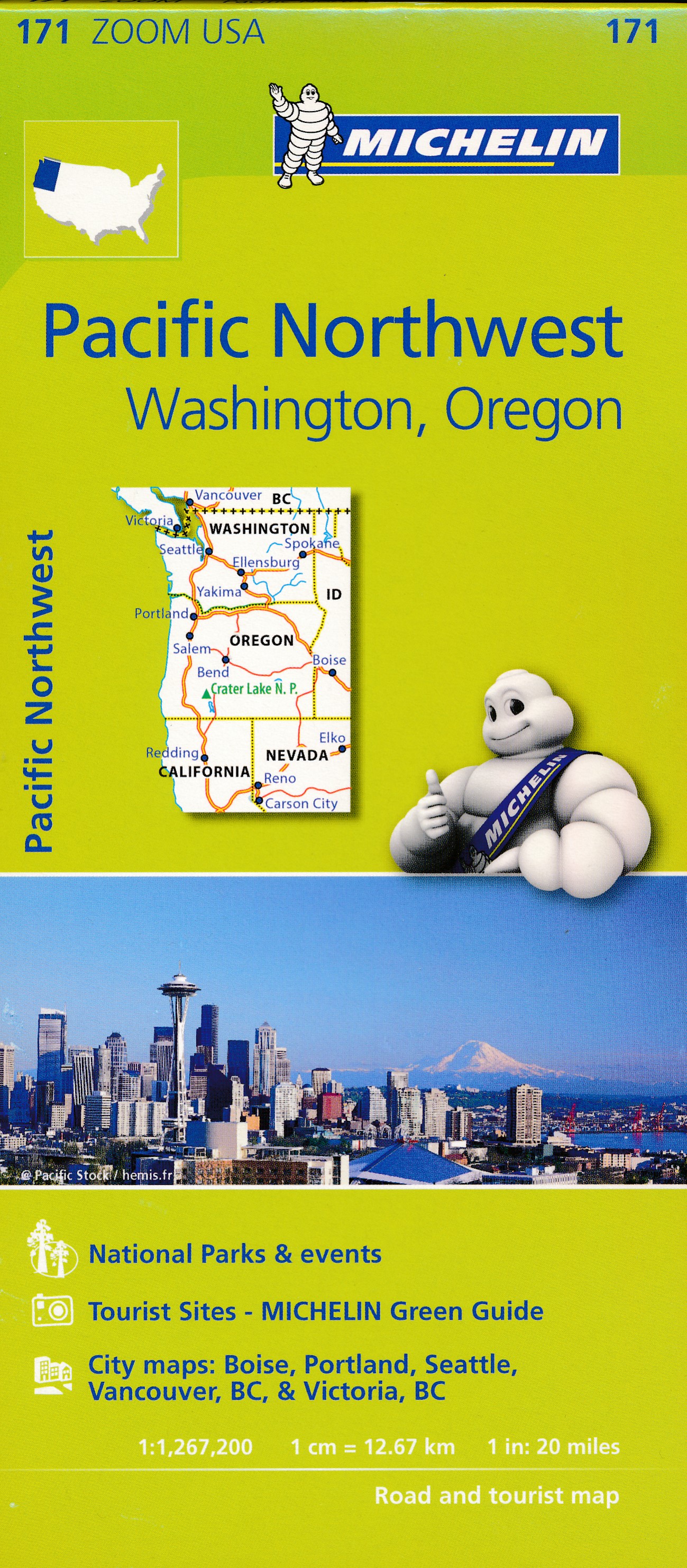
- Wegenkaart - landkaart 01 Pacific Northwest USA | Hallwag
- Hallwag USA Road Guide 01. Pacific Northwest 1 : 1 000 000 ab 11.95 EURO Straßenkarte. Road Maps. Index. National Parks. City Maps. Yellowstone, Grand Teton, Glacier, Seattle, Mount Rainier, Crater Lake, Oregon Cost Hallwag USA Road Guide Hallwag Straßenkarte. Neuauflage, Laufzeit bis 2018 Read more

De Zwerver
Netherlands
Netherlands

Bol.com
Netherlands
Netherlands
- Goat Rocks & Norse Peak Wilderness Area, Gifford-pinchot & Okanogan-wenatchee National Forests
- Waterproof Tear-Resistant Topographic MapGifford-Pinchot and Okanogan-Wenatchee National Forests Washington, USAOne of five new Trails Illustrated maps for the Washington Cascades region offers the most detailed and up-to-date map for the forest, carefully researched and developed in co-operation with local land managers and agencies.... Read more
- Also available from:
- Bol.com, Belgium
- Stanfords, United Kingdom
Bol.com
Belgium
Belgium
- Goat Rocks & Norse Peak Wilderness Area, Gifford-pinchot & Okanogan-wenatchee National Forests
- Waterproof Tear-Resistant Topographic MapGifford-Pinchot and Okanogan-Wenatchee National Forests Washington, USAOne of five new Trails Illustrated maps for the Washington Cascades region offers the most detailed and up-to-date map for the forest, carefully researched and developed in co-operation with local land managers and agencies.... Read more

Stanfords
United Kingdom
United Kingdom
- Goat Rocks - Norse Peak William O. Douglas Wilderness Area WA
- Map No. 823, Goat Rocks and Norse Peak Wilderness Area - Gifford-Pinchot and Okanogan-Wenatchee National Forests, WA, in an extensive series of GPS compatible, contoured hiking maps of USA’s national and state parks or forests and other popular recreational areas. Cartography based on the national topographic survey, with additional tourist... Read more

Bol.com
Netherlands
Netherlands
- Alpine Lakes Wilderness Area, Mount Baker-snoqualmie & Okanogan-wenatchee National Forests
- Waterproof Tear-Resistant Topographic MapMount Baker-Snoqualmie and Okanogan-Wenatchee National Forests Washington, USAOne of five new Trails Illustrated maps for the Washington Cascades region offering the most detailed and up-to-date map for the forest, carefully researched and developed in co-operation with local land managers and... Read more
- Also available from:
- Bol.com, Belgium
- Stanfords, United Kingdom
Bol.com
Belgium
Belgium
- Alpine Lakes Wilderness Area, Mount Baker-snoqualmie & Okanogan-wenatchee National Forests
- Waterproof Tear-Resistant Topographic MapMount Baker-Snoqualmie and Okanogan-Wenatchee National Forests Washington, USAOne of five new Trails Illustrated maps for the Washington Cascades region offering the most detailed and up-to-date map for the forest, carefully researched and developed in co-operation with local land managers and... Read more

Stanfords
United Kingdom
United Kingdom
- Alpine Lakes Wilderness - Mt Baker-Snoqualmie and Okanogan-Wenatchee National Forests WA
- Map No. 825, Alpine Lakes Wilderness Area - Mount Baker-Snoqualmie Wilderness Areas and Okanogan-Wenatchee National Forests, WA, in an extensive series of GPS compatible, contoured hiking maps of USA’s national and state parks or forests and other popular recreational areas. Cartography based on the national topographic survey, with additional... Read more

Bol.com
Netherlands
Netherlands
- Mount Whitney
- Waterproof Tear-Resistant Topographic MapMount Whitney is universally famous as the highest mountain in the United State outside of Alaska, as well as the highest point in California. National Geographic's Trails Illustrated map of Mount Whitney is a two-sided, waterproof map designed to meet the needs of Whitney visitors with unmatched... Read more
- Also available from:
- Bol.com, Belgium
- Stanfords, United Kingdom
Bol.com
Belgium
Belgium
- Mount Whitney
- Waterproof Tear-Resistant Topographic MapMount Whitney is universally famous as the highest mountain in the United State outside of Alaska, as well as the highest point in California. National Geographic's Trails Illustrated map of Mount Whitney is a two-sided, waterproof map designed to meet the needs of Whitney visitors with unmatched... Read more

Stanfords
United Kingdom
United Kingdom
- Mount Whitney CA NGS Trails Illustrated Map 322
- Map No. 322, Mount Whitney in California at 1:40,000, in an extensive series of GPS compatible, contoured hiking maps of USA’s national and state parks or forests and other popular recreational areas. Cartography is based on the national topographic survey, with additional tourist information.The maps, with most titles now printed on light,... Read more

De Zwerver
Netherlands
Netherlands
- Wandelkaart - Topografische kaart 205 Sequoia - Kings Canyon National Parks | National Geographic
- Prachtige geplastificeerde kaart van het nationaal park. Met alle recreatieve voorzieningen als campsites, maar ook met topografische details en wandelroutes ed. Door uitgekiend kleurgebruik zeer prettig in gebruik. Scheur en watervast! Trails Illustrated maps are the most trusted and popular recreation maps available. Continually setting the... Read more
- Also available from:
- Bol.com, Netherlands
- Bol.com, Belgium
- Stanfords, United Kingdom
- The Book Depository, United Kingdom

Bol.com
Netherlands
Netherlands
- Sequoia/kings Canyon National Park
- Waterproof Tear-Resistant Topographic MapIn Sequioa and Kings Canyon National Parks you can walk among the world's largest trees, hike the alpine landscape of the Sierra Crest, and marvel at the towering granite cliffs of one of the deepest canyons in the United States. National Geographic's Trails Illustrated map of Sequoia and Kings... Read more
Bol.com
Belgium
Belgium
- Sequoia/kings Canyon National Park
- Waterproof Tear-Resistant Topographic MapIn Sequioa and Kings Canyon National Parks you can walk among the world's largest trees, hike the alpine landscape of the Sierra Crest, and marvel at the towering granite cliffs of one of the deepest canyons in the United States. National Geographic's Trails Illustrated map of Sequoia and Kings... Read more

Stanfords
United Kingdom
United Kingdom
- Sequoia - Kings Canyon National Parks CA NGS Trails Illustrated Map 205
- Map No. 205, Sequoia/Kings Canyon National Park, CA, in an extensive series of GPS compatible, contoured hiking maps of USA’s national and state parks or forests and other popular recreational areas. Cartography based on the national topographic survey, with additional tourist information.The maps, with most titles now printed on light,... Read more

The Book Depository
United Kingdom
United Kingdom
- Sequoia/kings Canyon National Park
- Trails Illustrated National Parks Read more

De Zwerver
Netherlands
Netherlands
- Wandelkaart - Topografische kaart 809 Mammoth Lakes - Mono Divide - Inyo and Sierra National Forests | National Geographic
- Prachtige geplastificeerde kaart van het bekende nationaal park. Met alle recreatieve voorzieningen als campsites, maar ook met topografische details en wandelroutes ed. Door uitgekiend kleurgebruik zeer prettig in gebruik. Scheur en watervast! Trails Illustrated Mammoth Lakes / Mono Divide is the first of five exciting new maps for the... Read more
- Also available from:
- Bol.com, Netherlands
- Bol.com, Belgium
- Stanfords, United Kingdom

Bol.com
Netherlands
Netherlands
- Mammoth Lakes/mono Divide
- Waterproof Tear-Resistant Topographic MapTrails Illustrated Mammoth Lakes / Mono Divide is the first of five exciting new maps for the California Sierra Nevadas that will combine to form seamless coverage of the high-use National Forest areas between Sequoia / Kings Canyon National Parks and Lake Tahoe. This region contains some of the... Read more
Bol.com
Belgium
Belgium
- Mammoth Lakes/mono Divide
- Waterproof Tear-Resistant Topographic MapTrails Illustrated Mammoth Lakes / Mono Divide is the first of five exciting new maps for the California Sierra Nevadas that will combine to form seamless coverage of the high-use National Forest areas between Sequoia / Kings Canyon National Parks and Lake Tahoe. This region contains some of the... Read more

Stanfords
United Kingdom
United Kingdom
- Mammoth Lakes - Mono Divide CA
- Map No. 809, Mammoth Lakes / Mono Divide, CA, in an extensive series of GPS compatible, contoured hiking maps of USA’s national and state parks or forests and other popular recreational areas. Cartography based on the national topographic survey, with additional tourist information.The maps, with most titles now printed on light, waterproof and... Read more

Bol.com
Netherlands
Netherlands
- Carson-iceberg/emigrant/mokleumne Wilderness Areas
- Waterproof Tear-Resistant Topographic MapPart of our exciting new coverage for California's Sierra Nevada, our Carson-Iceberg, Emigrant and Mokelumne Wilderness Trails Illustrated map details the high use recreation areas of Stanislaus and Humboldt-Toiyabe National Forests from Yosemite National Park north to Caples Lake and Markleeville.... Read more
- Also available from:
- Bol.com, Belgium
- Stanfords, United Kingdom
Bol.com
Belgium
Belgium
- Carson-iceberg/emigrant/mokleumne Wilderness Areas
- Waterproof Tear-Resistant Topographic MapPart of our exciting new coverage for California's Sierra Nevada, our Carson-Iceberg, Emigrant and Mokelumne Wilderness Trails Illustrated map details the high use recreation areas of Stanislaus and Humboldt-Toiyabe National Forests from Yosemite National Park north to Caples Lake and Markleeville.... Read more

Stanfords
United Kingdom
United Kingdom
- Carson-Iceberg - Emigrant and Mokleumne Wilderness Areas CA
- Map No. 807, Carson-Iceberg / Emigrant / Mokleumne Wilderness Areas, CA, in an extensive series of GPS compatible, contoured hiking maps of USA’s national and state parks or forests and other popular recreational areas. Cartography based on the national topographic survey, with additional tourist information.The maps, with most titles now... Read more

Stanfords
United Kingdom
United Kingdom
- Oregon Recreational Atlas & Gazetteer
- Oregon Recreational Atlas and Gazetteer at 1:157,000 approx. in a series of large format paperback state atlases from DeLorme, with detailed, contoured, GPS compatible topographic mapping, with additional more detailed mapping of the Crater Lake area at 1:100,000. Recreational information includes lists of recommended family outings, unique... Read more
De Zwerver
Netherlands
Netherlands
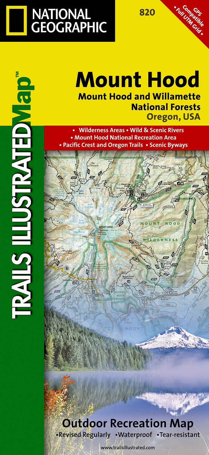
- Wandelkaart - Topografische kaart 820 Mount Hood and Willamette National Forests | National Geographic
- Prachtige geplastificeerde kaart van het bekende nationaal park. Met alle recreatieve voorzieningen als campsites, maar ook met topografische details en wandelroutes ed. Door uitgekiend kleurgebruik zeer prettig in gebruik. Scheur en watervast! Located just outside of Portland, Mt. Hood is the tallest peak in Oregon, the fourth highest in the... Read more
- Also available from:
- Stanfords, United Kingdom
- The Book Depository, United Kingdom

Stanfords
United Kingdom
United Kingdom
- Mount Hood and Willamette National Forests OR
- Map No. 820, Mount Hood and Willamette National Forests in Oregon, in an extensive series of GPS compatible, contoured hiking maps of USA’s national and state parks or forests and other popular recreational areas. Cartography based on the national topographic survey, with additional tourist information.The maps, with most titles now printed on... Read more

The Book Depository
United Kingdom
United Kingdom
- Mount Hood, Mount Hood & Willamette National Forests
- Trails Illustrated Other Rec. Areas Read more