
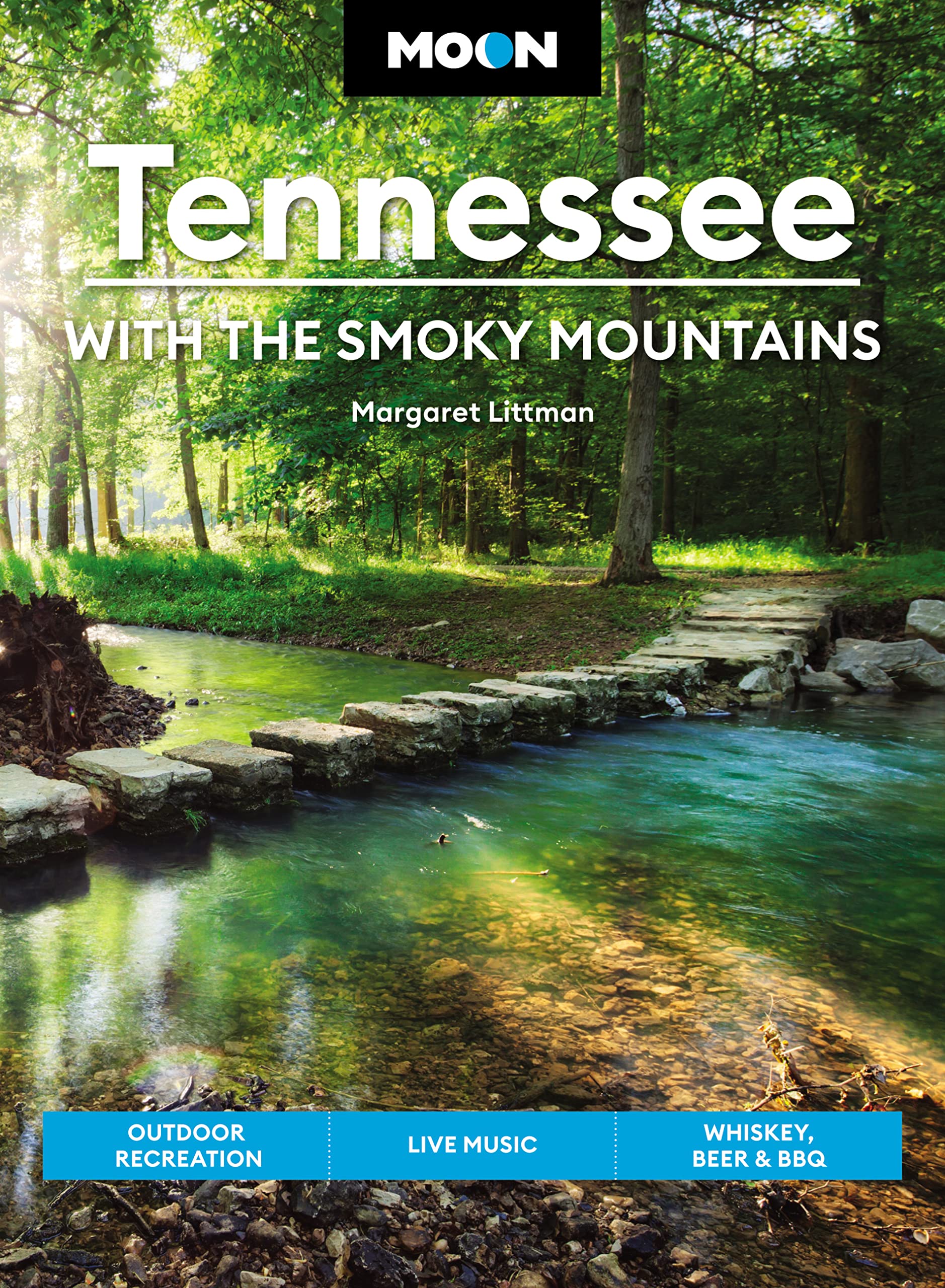
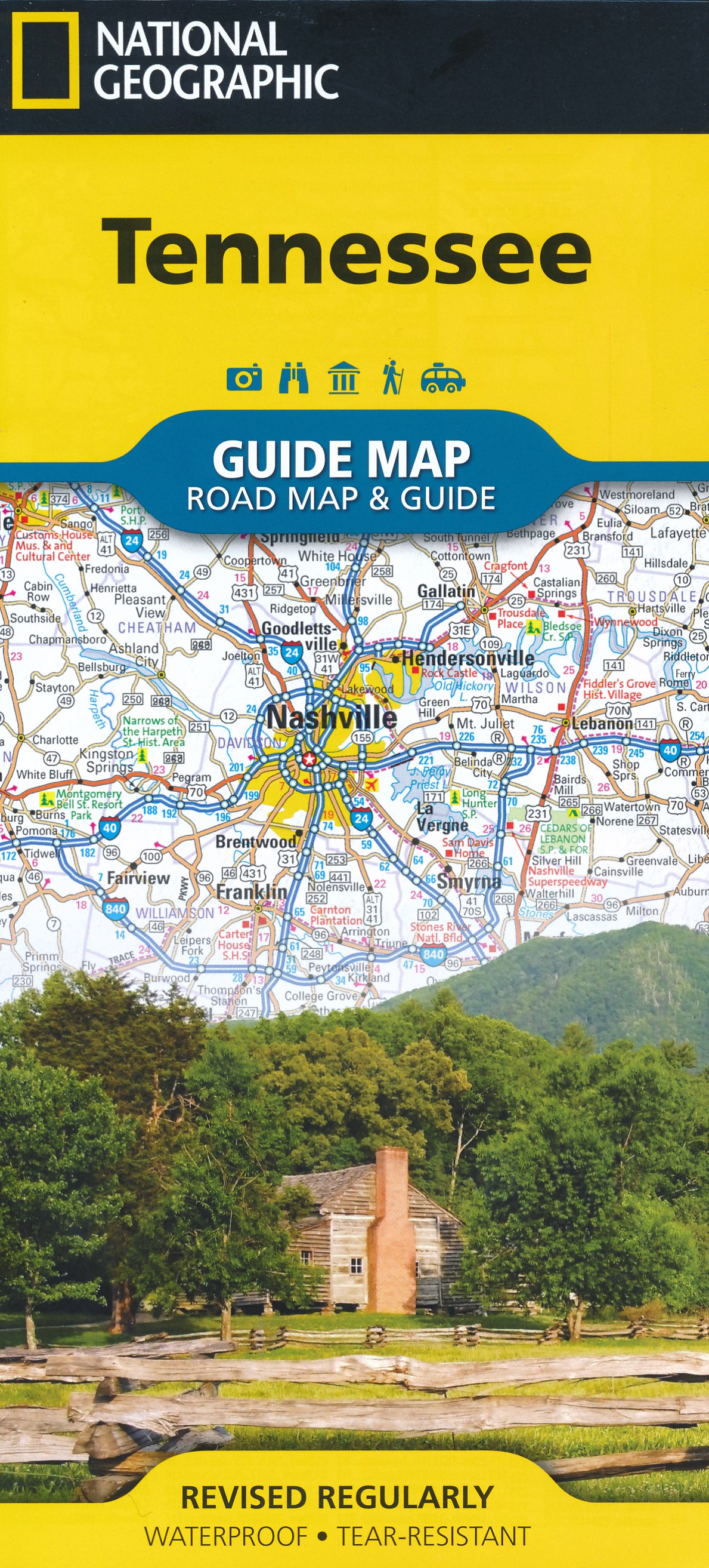
Tennessee
Beschrijving
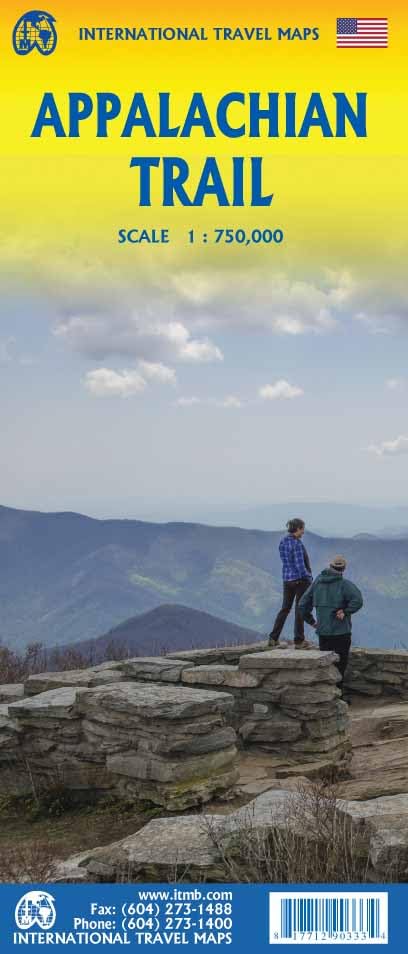
In Tennessee, the Appalachian Trail reaches its highest point: the Clingmans Dome at 6643 feet (2025 m).
Most important trails are the Benton MacKaye Trail (288 miles in the Appalachians, shared with Georgia and North Carolina), the 165 mile Cumberland Trail along the western side of the Appalachians and the edge of the Cumberland Plateau, the 260 mile Sheltowee Trace Trail, partly in Kentucky.
Also, Tennessee hosts part of the Eastern Continental Trail.
The famous and busy Great Smoky Mountains National Park lies on the border with North Carolina. North and south lies the Cherokee National Forest.
Kaart

Paden in deze landsdeel
Links
Feiten
Verslagen
Gidsen en kaarten
Overnachting
Organisaties
Reisorganisaties
GPS
Anders
Boeken


De Zwerver
Netherlands
Netherlands

De Zwerver
Netherlands
2018
Netherlands
2018
- Wandelgids USA: Appalachian Trail | Conrad Stein Verlag
- Handzame overzichtsgids van deze geweldige en uitdagende lange afstands wandeling in het oosten van de USA: de Appalachian Trail. Het is een ideale gids om de hele tocht voor te bereiden en als basisgids bij je te hebben. Goede beschrijvingen van etappes en veel praktische informatie. Het enige wat mager is zijn dekaarten: goed voor overzicht... Read more

Bol.com
Netherlands
2012
Netherlands
2012
- The Rough Guide to New England
- The Rough Guide to New England is the ultimate travel guide to this compellingly historic region, packed with comprehensive coverage of every attraction. Honest, accurate reviews, detailed practical information, new top 5 lists, insider tips and illuminating photographs throughout will ensure that your visit is a truly memorable one.Discover... Read more
- Also available from:
- Bol.com, Belgium
Bol.com
Belgium
2012
Belgium
2012
- The Rough Guide to New England
- The Rough Guide to New England is the ultimate travel guide to this compellingly historic region, packed with comprehensive coverage of every attraction. Honest, accurate reviews, detailed practical information, new top 5 lists, insider tips and illuminating photographs throughout will ensure that your visit is a truly memorable one.Discover... Read more

Bol.com
Netherlands
Netherlands
- Appalachian Scenic Trail Wildlife
- The Appalachian Trail runs 2,175 miles from Springer Mountain in Georgia to Mount Katahdin in Maine, encompassing a myriad of ecosystems and inhabitants. This beautifully illustrated guide highlights over 140 familiar species of birds, mammals, reptiles, amphibians and insects (including the dreaded sweat bees). A map also features prominent... Read more
- Also available from:
- Bol.com, Belgium
Bol.com
Belgium
Belgium
- Appalachian Scenic Trail Wildlife
- The Appalachian Trail runs 2,175 miles from Springer Mountain in Georgia to Mount Katahdin in Maine, encompassing a myriad of ecosystems and inhabitants. This beautifully illustrated guide highlights over 140 familiar species of birds, mammals, reptiles, amphibians and insects (including the dreaded sweat bees). A map also features prominent... Read more
Bol.com
Netherlands
Netherlands
- Hiking Georgia
- Hiking Georgia features more than one hundred trails from the Blue Ridge Mountains to the Piedmont and Coastal Plain. It also includes easy one-hour strolls along quiet nature trails, a trek along 80 miles of the Appalachian Trail, and medium-distance trails that suit many hikers. Read more
- Also available from:
- Bol.com, Belgium
Bol.com
Belgium
Belgium
- Hiking Georgia
- Hiking Georgia features more than one hundred trails from the Blue Ridge Mountains to the Piedmont and Coastal Plain. It also includes easy one-hour strolls along quiet nature trails, a trek along 80 miles of the Appalachian Trail, and medium-distance trails that suit many hikers. Read more

Bol.com
Netherlands
Netherlands
- Tennessee Off the Beaten Path (R)
- Presents a guide for restaurants, attractions, accommodations, unique events, and festivals in the state of Tennessee. Read more
- Also available from:
- Bol.com, Belgium
Bol.com
Belgium
Belgium
- Tennessee Off the Beaten Path (R)
- Presents a guide for restaurants, attractions, accommodations, unique events, and festivals in the state of Tennessee. Read more

Bol.com
Netherlands
Netherlands
- Hiking Big South Fork 3 E
- Now in its third edition, Hiking the Big South Fork is packed with up-to-date information on the trails of the Big South Fork National River and Recreation Area in Tennessee and Kentucky. The book combines numerous details about the natural history of the area with fascinating tidbits of folklore and legend to provide an interpretive guide to... Read more
- Also available from:
- Bol.com, Belgium
Bol.com
Belgium
Belgium
- Hiking Big South Fork 3 E
- Now in its third edition, Hiking the Big South Fork is packed with up-to-date information on the trails of the Big South Fork National River and Recreation Area in Tennessee and Kentucky. The book combines numerous details about the natural history of the area with fascinating tidbits of folklore and legend to provide an interpretive guide to... Read more

Bol.com
Netherlands
Netherlands
- Tennessee Trout Waters
- There is tremendous diversity in Tennessee's trout waters: tailwater rivers, mountain streams, and lakes, and much of it is on public land. This guidebook will give you a good starting point for exploring these waters, including up-to-date information, detailed maps, and easy-to-understand icons. Productive techniques and fly patterns are given... Read more
- Also available from:
- Bol.com, Belgium
Bol.com
Belgium
Belgium
- Tennessee Trout Waters
- There is tremendous diversity in Tennessee's trout waters: tailwater rivers, mountain streams, and lakes, and much of it is on public land. This guidebook will give you a good starting point for exploring these waters, including up-to-date information, detailed maps, and easy-to-understand icons. Productive techniques and fly patterns are given... Read more
Bol.com
Netherlands
Netherlands
- An Adventure
- Experience the thrill, adventure and drama of a thru hike without all the work and misery. This book, written in journal format, follows the day to day action as the author attempts to hike the entire Appalachian Trail in one shot through winter. The book captures in vivid detail, a rare southbound thru hike late in the hiking season, as the... Read more
- Also available from:
- Bol.com, Belgium
Bol.com
Belgium
Belgium
- An Adventure
- Experience the thrill, adventure and drama of a thru hike without all the work and misery. This book, written in journal format, follows the day to day action as the author attempts to hike the entire Appalachian Trail in one shot through winter. The book captures in vivid detail, a rare southbound thru hike late in the hiking season, as the... Read more

Bol.com
Netherlands
Netherlands
- Journey on the Crest
- "Cindy Ross does not claim to be a heroine. Her book is about the fear of an ordinary person doing extraordinary things. . . . It is good to read of someone who is just crammed full of courage, guts, spirit and determination." Smoke Blanchard, Walking Up and Down in the WorldCindy Ross had already hiked the 2000-mile length of the Appalachian... Read more
- Also available from:
- Bol.com, Belgium
Bol.com
Belgium
Belgium
- Journey on the Crest
- "Cindy Ross does not claim to be a heroine. Her book is about the fear of an ordinary person doing extraordinary things. . . . It is good to read of someone who is just crammed full of courage, guts, spirit and determination." Smoke Blanchard, Walking Up and Down in the WorldCindy Ross had already hiked the 2000-mile length of the Appalachian... Read more

Bol.com
Netherlands
Netherlands
- Blue Ridge Parkway
- One of the most beloved parks in the country, Blue Ridge Parkway, called America's Most Scenic Drive, is a 469-mile roadway that climbs the ridgelines and peaks of the Appalachian Mountains between Shenandoah National park and the Great Smoky Mountains. Historic sites such as gristmills, bridges, and one-room schoolhouses exist along the... Read more
- Also available from:
- Bol.com, Belgium
Bol.com
Belgium
Belgium
- Blue Ridge Parkway
- One of the most beloved parks in the country, Blue Ridge Parkway, called America's Most Scenic Drive, is a 469-mile roadway that climbs the ridgelines and peaks of the Appalachian Mountains between Shenandoah National park and the Great Smoky Mountains. Historic sites such as gristmills, bridges, and one-room schoolhouses exist along the... Read more

Bol.com
Netherlands
Netherlands
- When It Clicks
- When It Clicks grabs for the heart of extreme readers, those who know that reading is a sport and who demand to be stunned with every turn of the page. Through the voice of the engaging, girl-next-door turned adventurer, the reader is pulled into the moment, whether that moment is staring into the steaming nostrils of a wild beast climbing... Read more
- Also available from:
- Bol.com, Belgium
Bol.com
Belgium
Belgium
- When It Clicks
- When It Clicks grabs for the heart of extreme readers, those who know that reading is a sport and who demand to be stunned with every turn of the page. Through the voice of the engaging, girl-next-door turned adventurer, the reader is pulled into the moment, whether that moment is staring into the steaming nostrils of a wild beast climbing... Read more
Bol.com
Netherlands
Netherlands
- Hike with Smoky Joe on the Unforgettable Appalachian Trail
- Williams chronicles Smoky Joe Ward's adventures along the Appalachian Trail. 186 pp. Read more
- Also available from:
- Bol.com, Belgium
Bol.com
Belgium
Belgium
- Hike with Smoky Joe on the Unforgettable Appalachian Trail
- Williams chronicles Smoky Joe Ward's adventures along the Appalachian Trail. 186 pp. Read more
Kaarten

Bol.com
Netherlands
Netherlands
- Springer & Cohutta Mountains, Chattahoochee National Forest
- Waterproof Tear-Resistant Topographic MapLocated just north of Atlanta, the Chattahoochee National Forest contains the southern terminus of the Appalachian Trail along with an abundance of recreational opportunities for outdoor enthusiasts of all interests.This detailed recreation map contains carefully researched trails, campsites,... Read more
- Also available from:
- Bol.com, Belgium
- Stanfords, United Kingdom
Bol.com
Belgium
Belgium
- Springer & Cohutta Mountains, Chattahoochee National Forest
- Waterproof Tear-Resistant Topographic MapLocated just north of Atlanta, the Chattahoochee National Forest contains the southern terminus of the Appalachian Trail along with an abundance of recreational opportunities for outdoor enthusiasts of all interests.This detailed recreation map contains carefully researched trails, campsites,... Read more

Stanfords
United Kingdom
United Kingdom
- Chattahoochee National Forest - Springer and Cohutta Mountains GA/SC 777
- Map No. 777, Chattahoochee National Forest: Springer and Cohutta Mountains, GA/SC, in an extensive series of GPS compatible, contoured hiking maps of USA’s national and state parks or forests and other popular recreational areas. Cartography based on the national topographic survey, with additional tourist information.The maps, with most titles... Read more

De Zwerver
Netherlands
Netherlands
- Wandelkaart - Topografische kaart 318 Mount Rogers High Country - Grayson Highlands State Park | National Geographic
- Prachtige geplastificeerde kaart van het bekende nationaal park. Met alle recreatieve voorzieningen als campsites, maar ook met topografische details en wandelroutes ed. Door uitgekiend kleurgebruik zeer prettig in gebruik. Scheur en watervast! National Geographic's Trails Illustrated map of Mount Rogers High Country and Grayson Highlands... Read more
- Also available from:
- Bol.com, Netherlands
- Bol.com, Belgium
- Stanfords, United Kingdom
- The Book Depository, United Kingdom

Bol.com
Netherlands
Netherlands
- Mount Rogers High Country
- Waterproof Tear-Resistant Topographic MapNational Geographic's Trails Illustrated map of Mount Rogers High Country and Grayson Highlands State Park, Southwest Virginia, is a two-sided, waterproof, topographic trail map designed to meet the needs of outdoor enthusiasts with unmatched durability and detail. This map was created in... Read more
Bol.com
Belgium
Belgium
- Mount Rogers High Country
- Waterproof Tear-Resistant Topographic MapNational Geographic's Trails Illustrated map of Mount Rogers High Country and Grayson Highlands State Park, Southwest Virginia, is a two-sided, waterproof, topographic trail map designed to meet the needs of outdoor enthusiasts with unmatched durability and detail. This map was created in... Read more

Stanfords
United Kingdom
United Kingdom
- Mount Rogers High Country VA
- Map No. 318 - Mount Rogers High Country in Virginia in an extensive series of GPS compatible, contoured hiking maps of USA’s national and state parks or forests and other popular recreational areas. Cartography based on the national topographic survey, with additional tourist information.The maps, with most titles now printed on light,... Read more

The Book Depository
United Kingdom
United Kingdom
- Mount Rogers High Country
- Trails Illustrated Other Rec. Areas Read more

De Zwerver
Netherlands
Netherlands
- Wandelkaart - Topografische kaart 747 Green Mountain National Forest North - Moosalamoo NRA - Rutland | National Geographic
- Prachtige geplastificeerde kaart van het bekende nationaal park. Met alle recreatieve voorzieningen als campsites, maar ook met topografische details en wandelroutes ed. Door uitgekiend kleurgebruik zeer prettig in gebruik. Scheur en watervast! National Geographic's Green Mountain National Forest North Trails Illustrated topographic map is... Read more
- Also available from:
- Bol.com, Netherlands
- Bol.com, Belgium
- Stanfords, United Kingdom
- The Book Depository, United Kingdom

Bol.com
Netherlands
Netherlands
- Green Mountains N.F., Moosalamoo NRA/Rutland
- Waterproof Tear-Resistant Topographic MapNational Geographic's Green Mountain National Forest North Trails Illustrated topographic map is the most comprehensive available for outdoor enthusiasts of all types. Designed to be easy-to-read, yet highly detailed this map includes a comprehensive road and trail network distinguishing between... Read more
Bol.com
Belgium
Belgium
- Green Mountains N.F., Moosalamoo NRA/Rutland
- Waterproof Tear-Resistant Topographic MapNational Geographic's Green Mountain National Forest North Trails Illustrated topographic map is the most comprehensive available for outdoor enthusiasts of all types. Designed to be easy-to-read, yet highly detailed this map includes a comprehensive road and trail network distinguishing between... Read more

Stanfords
United Kingdom
United Kingdom
- Green Mountain National Forest - Moosalamoo NRA - Rutland VT
- Map No. 747, Green Mountain National Forest: Moosalamoo NRA - Rutland area in Vermont, in an extensive series of GPS compatible, contoured hiking maps of USA’s national and state parks or forests and other popular recreational areas. Cartography based on the national topographic survey, with additional tourist information.The maps, with most... Read more

The Book Depository
United Kingdom
United Kingdom
- Green Mountains N.f., Moosalamoo Nra/rutland
- Trails Illustrated Other Rec. Areas Read more

De Zwerver
Netherlands
Netherlands
- Wandelkaart - Topografische kaart 316 Cades Cove - Elkmont - Great Smoky Mountains National Park | National Geographic
- Prachtige geplastificeerde kaart van het bekende nationaal park. Met alle recreatieve voorzieningen als campsites, maar ook met topografische details en wandelroutes ed. Door uitgekiend kleurgebruik zeer prettig in gebruik. Scheur en watervast! This title provides an increased scale of one of the most visited National Parks in the US, and one... Read more
- Also available from:
- Bol.com, Netherlands
- Bol.com, Belgium
- Stanfords, United Kingdom

Bol.com
Netherlands
Netherlands
- Cades Cove/elkmont, Great Smoky Mountains National Park
- Waterproof Tear-Resistant Topographic MapThis title provides an increased scale of one of the most visited National Parks in the US, and one of our more popular map titles. This increased scale will provide greater detail to the backcountry users and Appalachian Trail through-hikers.Park Introduction:Great Smoky Mountains National Park is... Read more
Bol.com
Belgium
Belgium
- Cades Cove/elkmont, Great Smoky Mountains National Park
- Waterproof Tear-Resistant Topographic MapThis title provides an increased scale of one of the most visited National Parks in the US, and one of our more popular map titles. This increased scale will provide greater detail to the backcountry users and Appalachian Trail through-hikers.Park Introduction:Great Smoky Mountains National Park is... Read more

Stanfords
United Kingdom
United Kingdom
- Cades Cove - Elkmont - Great Smoky Mountains National Park NC/TN
- Map No. 316, Great Smoky Mountains National Park: Cades Cove - Elkmont, NC/TN, in an extensive series of GPS compatible, contoured hiking maps of USA’s national and state parks or forests and other popular recreational areas. Cartography based on the national topographic survey, with additional tourist information.The maps, with most titles now... Read more