
Utah
Beschrijving
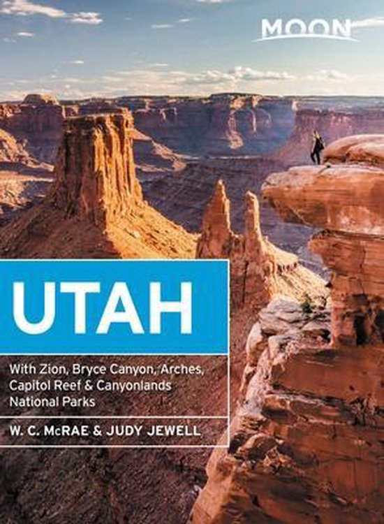
Utah is a beautiful state and very good for hiking, since over 60 percent is public land. Utah offers desert, deep canyons and arches, and for those who want to escape the dry land there are the high mountains.
It's main hiking asset is the Great Western Trail, running from north to south from Canada to Mexico. The trail hits a number of national parks and forests which offer good for hiking in their own right: Wasatch-Cache National Forest close to Salt Lake City. Uinta National Forest, Manti-LaSal National Forest, Fishlake National Forest, Capitol Reef National Park, Dixie National Forest, Bryce Canyon National Park and Canyonlands National Park.
The American Discovery Trail crosses Utah. The Bonneville Shoreline Trail (90 miles) follows the shoreline of an ancient lake.
Kaart

Paden in deze landsdeel
Links
Feiten
Verslagen
Gidsen en kaarten
Overnachting
Organisaties
Reisorganisaties
GPS
Anders
Boeken

Netherlands
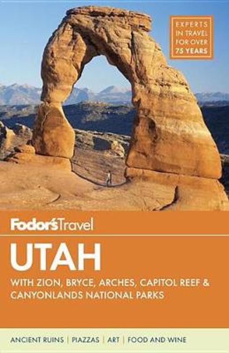
- Fodor's Utah
- Written by locals, Fodor's travel guides have been offering expert advice for all tastes and budgets for 80 years.The home of some of the United State's most outstanding national parks---Arches, Bryce, and Zion---and ski slopes, Utah delivers outdoor adventures aplenty. The awe-inspiring scenery is a study in diversity---from salt flats to red... Read more
- Also available from:
- Bol.com, Belgium
Belgium
- Fodor's Utah
- Written by locals, Fodor's travel guides have been offering expert advice for all tastes and budgets for 80 years.The home of some of the United State's most outstanding national parks---Arches, Bryce, and Zion---and ski slopes, Utah delivers outdoor adventures aplenty. The awe-inspiring scenery is a study in diversity---from salt flats to red... Read more
Netherlands
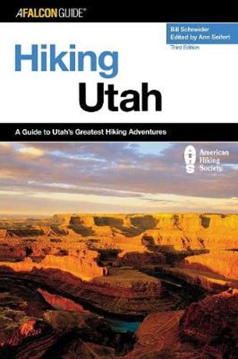
- Hiking Utah
- From the slickrock desert country of Arches and Canyonlands National Parks, to the glacier-carved peaks of the Wasatch and Uinta Ranges, to the broad and varied expanse of the Great Basin--explore more than fifty day hikes and overnight adventures in this completely revised and updated guide to Utah's backcountry. Read more
- Also available from:
- Bol.com, Belgium
Belgium
- Hiking Utah
- From the slickrock desert country of Arches and Canyonlands National Parks, to the glacier-carved peaks of the Wasatch and Uinta Ranges, to the broad and varied expanse of the Great Basin--explore more than fifty day hikes and overnight adventures in this completely revised and updated guide to Utah's backcountry. Read more
Netherlands
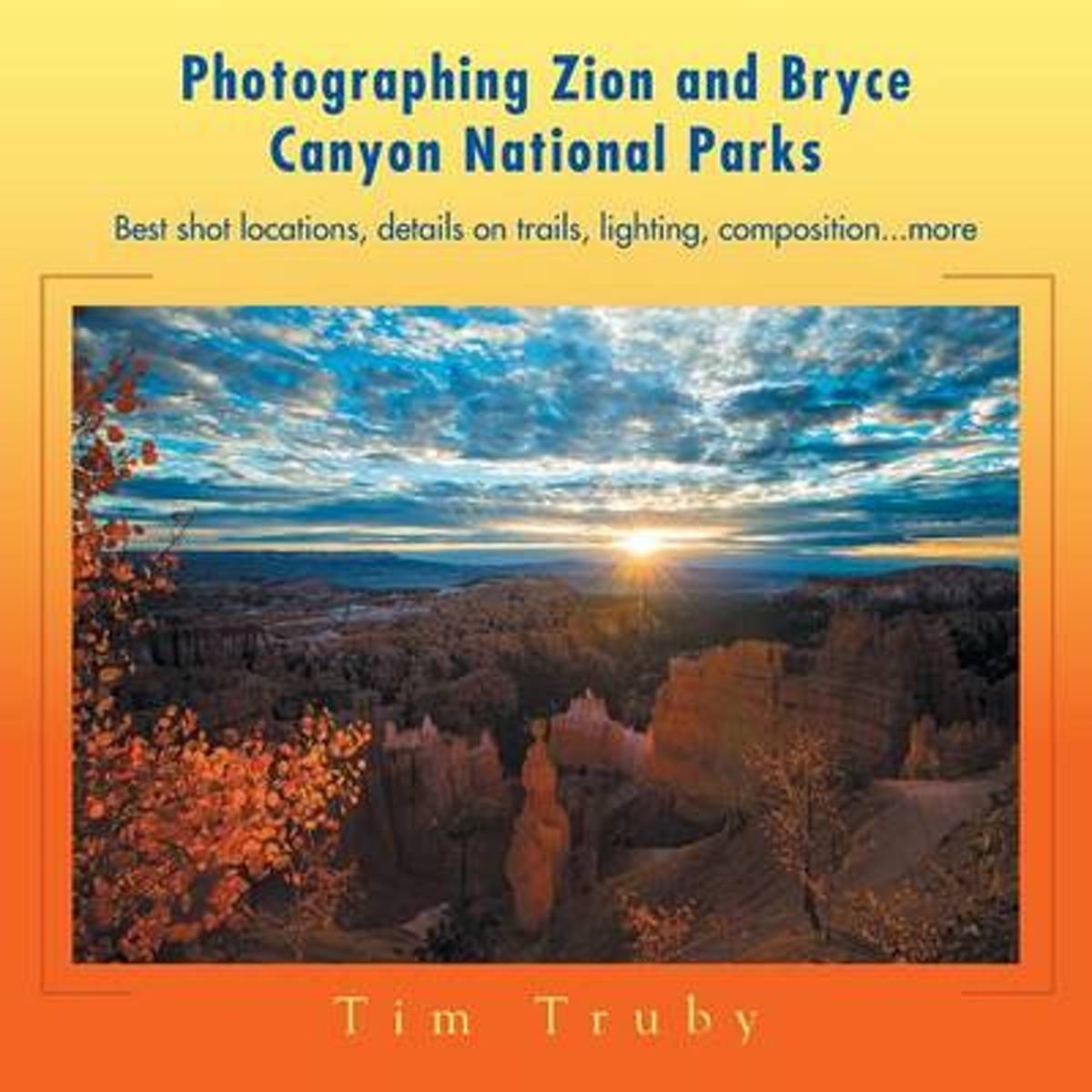
- Photographing Zion and Bryce Canyon National Parks
- "Professional writer and landscape photographer Tim Truby has gathered all the photo-related information beginners and enthusiasts need to create their best images at Zion and Bryce Canyon National Parks. --Best shot locations --Representative images --Details on each trail --Settings and lens thoughts --Composition dynamics for each spot... Read more
- Also available from:
- Bol.com, Belgium
Belgium
- Photographing Zion and Bryce Canyon National Parks
- "Professional writer and landscape photographer Tim Truby has gathered all the photo-related information beginners and enthusiasts need to create their best images at Zion and Bryce Canyon National Parks. --Best shot locations --Representative images --Details on each trail --Settings and lens thoughts --Composition dynamics for each spot... Read more
Netherlands
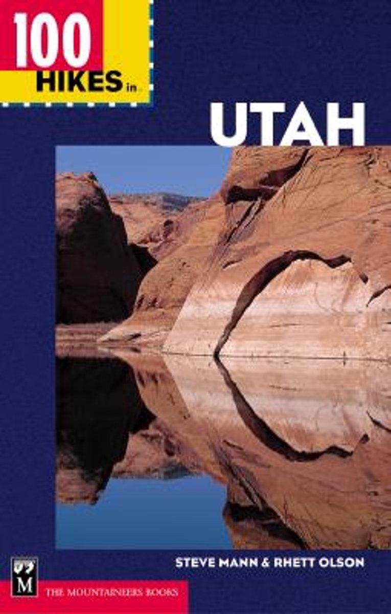
- 100 Hikes in Utah
- * Includes both day hikes and multi-day backpacking trails in Utah * Hikes for all skill levels * Part of the popular 100 Hikes in series Native Utah outdoorsmen Steve Mann and Rhett Olson have hiked end to end throughout the state. Now their top 100 trails are yours for the discovering. In 100 Hikes in Utah you'll find trails in the Wasatch... Read more
- Also available from:
- Bol.com, Belgium
Belgium
- 100 Hikes in Utah
- * Includes both day hikes and multi-day backpacking trails in Utah * Hikes for all skill levels * Part of the popular 100 Hikes in series Native Utah outdoorsmen Steve Mann and Rhett Olson have hiked end to end throughout the state. Now their top 100 trails are yours for the discovering. In 100 Hikes in Utah you'll find trails in the Wasatch... Read more
Netherlands
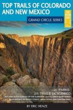
- Top Trails of Colorado and New Mexico
- So you've been done an Arizona vacation, maybe even Colorado and Utah, but have you done the Grand Circle? You may have heard of the term and likely know it well if you live within it. For those that don't know what the Grand Circle means, you aren't alone. It is, in a nutshell, one of the "must do" vacation destinations in North America. The... Read more
- Also available from:
- Bol.com, Belgium
Belgium
- Top Trails of Colorado and New Mexico
- So you've been done an Arizona vacation, maybe even Colorado and Utah, but have you done the Grand Circle? You may have heard of the term and likely know it well if you live within it. For those that don't know what the Grand Circle means, you aren't alone. It is, in a nutshell, one of the "must do" vacation destinations in North America. The... Read more
Netherlands
- Willis Canyon
- Waterproof Tear-Resistant Topographic Map National Geographics Trails Illustrated map of Willis Canyon in Bryce Canyon National Park is designed to meet the needs of outdoor enthusiasts with unmatched durability and detail. Expertly researched and created in partnership with local land management agencies, this map features Kodachrome Basin... Read more
- Also available from:
- Bol.com, Belgium
- Stanfords, United Kingdom
Belgium
- Willis Canyon
- Waterproof Tear-Resistant Topographic Map National Geographics Trails Illustrated map of Willis Canyon in Bryce Canyon National Park is designed to meet the needs of outdoor enthusiasts with unmatched durability and detail. Expertly researched and created in partnership with local land management agencies, this map features Kodachrome Basin... Read more

United Kingdom
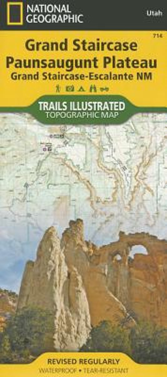
- Grand Staircase - Paunsaugunt Plateau - Grand Staircase-Escalante NM
- Map No. 714 covering at 1:75,000 the Grand Staircase, Paunsaugunt Plateau (Grand Staircase-Escalante National Monument) area of Utah. The title is part of an extensive series in the National Geographic’s Trails Illustrated imprint of GPS compatible, contoured hiking maps of USA’s national and state parks or forests and other popular... Read more
Netherlands
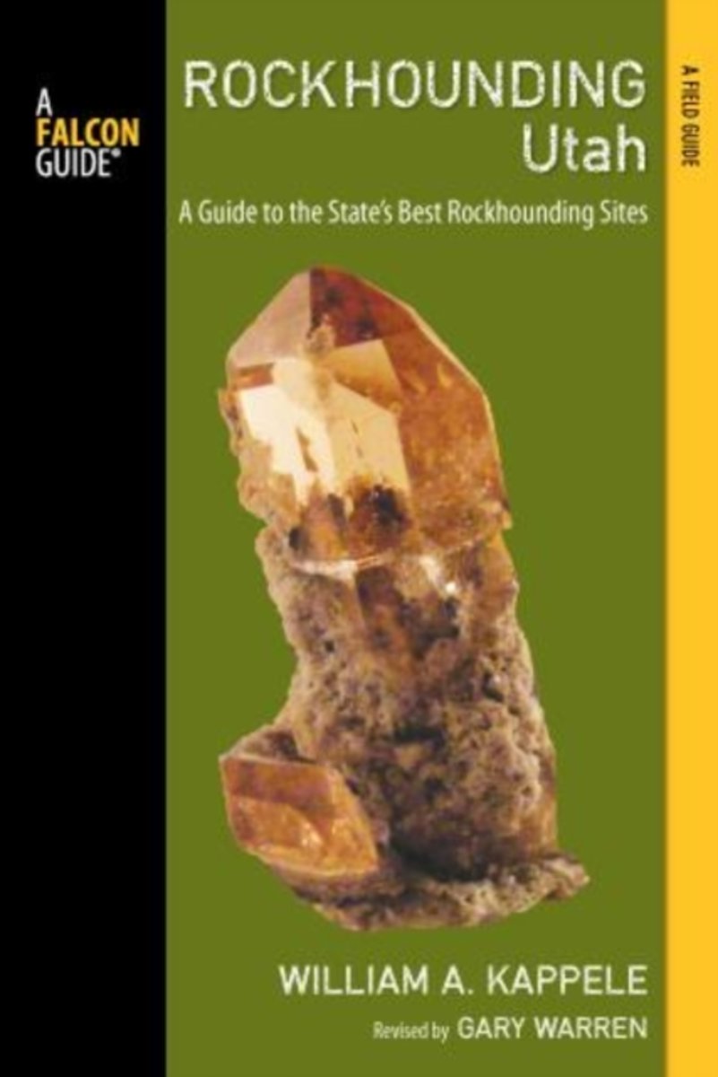
- Rockhounding Utah
- This completely updated and revised, full-color edition of Rockhounding Utah reveals the grandeur of the state's exposed formations, its canyon walls etched with fossils, and the spires and arches of the Needles District in Canyonlands National Park. Each description of the 86 state's sites includes concise information on the material to be... Read more
- Also available from:
- Bol.com, Belgium
Belgium
- Rockhounding Utah
- This completely updated and revised, full-color edition of Rockhounding Utah reveals the grandeur of the state's exposed formations, its canyon walls etched with fossils, and the spires and arches of the Needles District in Canyonlands National Park. Each description of the 86 state's sites includes concise information on the material to be... Read more

Netherlands
- Motorcycle Mysteries
- Entertaining and irreverent journeys in search of El Chupacabre, Big Foot, Energy Vortex's and UFO Domes. Chasing stories of Alien abduction, Skinwalkers the ghost of Graham Parsons and a be-headed prostitute. Finding "Here" in Pink Floyds "Wish You Were Here" and "Champ", America's Loch Ness Monster. Following the trail of Easy Rider and... Read more
- Also available from:
- Bol.com, Belgium
Belgium
- Motorcycle Mysteries
- Entertaining and irreverent journeys in search of El Chupacabre, Big Foot, Energy Vortex's and UFO Domes. Chasing stories of Alien abduction, Skinwalkers the ghost of Graham Parsons and a be-headed prostitute. Finding "Here" in Pink Floyds "Wish You Were Here" and "Champ", America's Loch Ness Monster. Following the trail of Easy Rider and... Read more
Netherlands
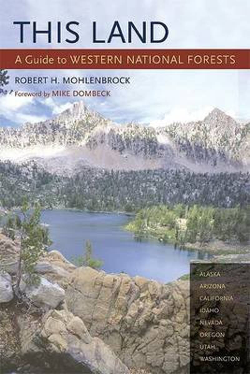
- This Land
- Part armchair travelogue, part guide book, this projected three-volume series - divided into the western, central, and eastern United States - will introduce readers to all 155 national forests across the country. This Land is the only comprehensive field guide that describes the natural features, wildernesses, scenic drives, campgrounds, and... Read more
- Also available from:
- Bol.com, Belgium
Belgium
- This Land
- Part armchair travelogue, part guide book, this projected three-volume series - divided into the western, central, and eastern United States - will introduce readers to all 155 national forests across the country. This Land is the only comprehensive field guide that describes the natural features, wildernesses, scenic drives, campgrounds, and... Read more
Netherlands
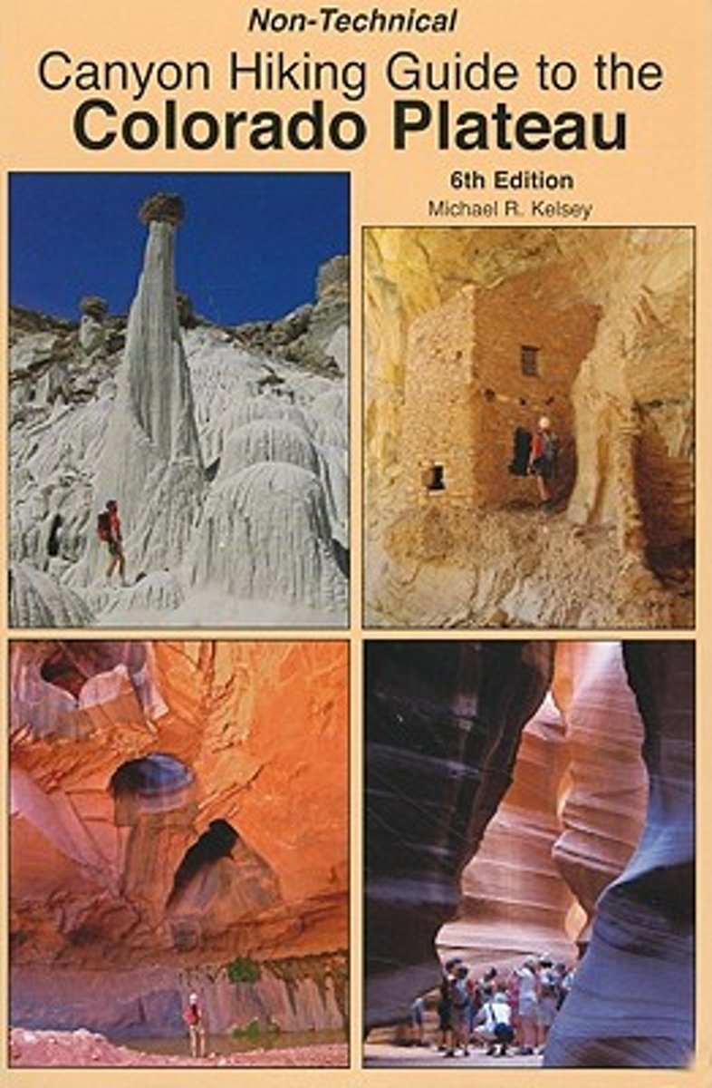
- Non-Technical Canyon Hiking Guide to the Colorado Plateau
- In addition to hike descriptions and maps this book includes some information about the Native Americans of the Colorado Plateau, geology cross-sections of the Colorado Plateau, and best hikes of the area. The hikes are for New Mexico, Colorado, Utah, and Arizona. Read more
- Also available from:
- Bol.com, Belgium
Belgium
- Non-Technical Canyon Hiking Guide to the Colorado Plateau
- In addition to hike descriptions and maps this book includes some information about the Native Americans of the Colorado Plateau, geology cross-sections of the Colorado Plateau, and best hikes of the area. The hikes are for New Mexico, Colorado, Utah, and Arizona. Read more
Kaarten
Netherlands
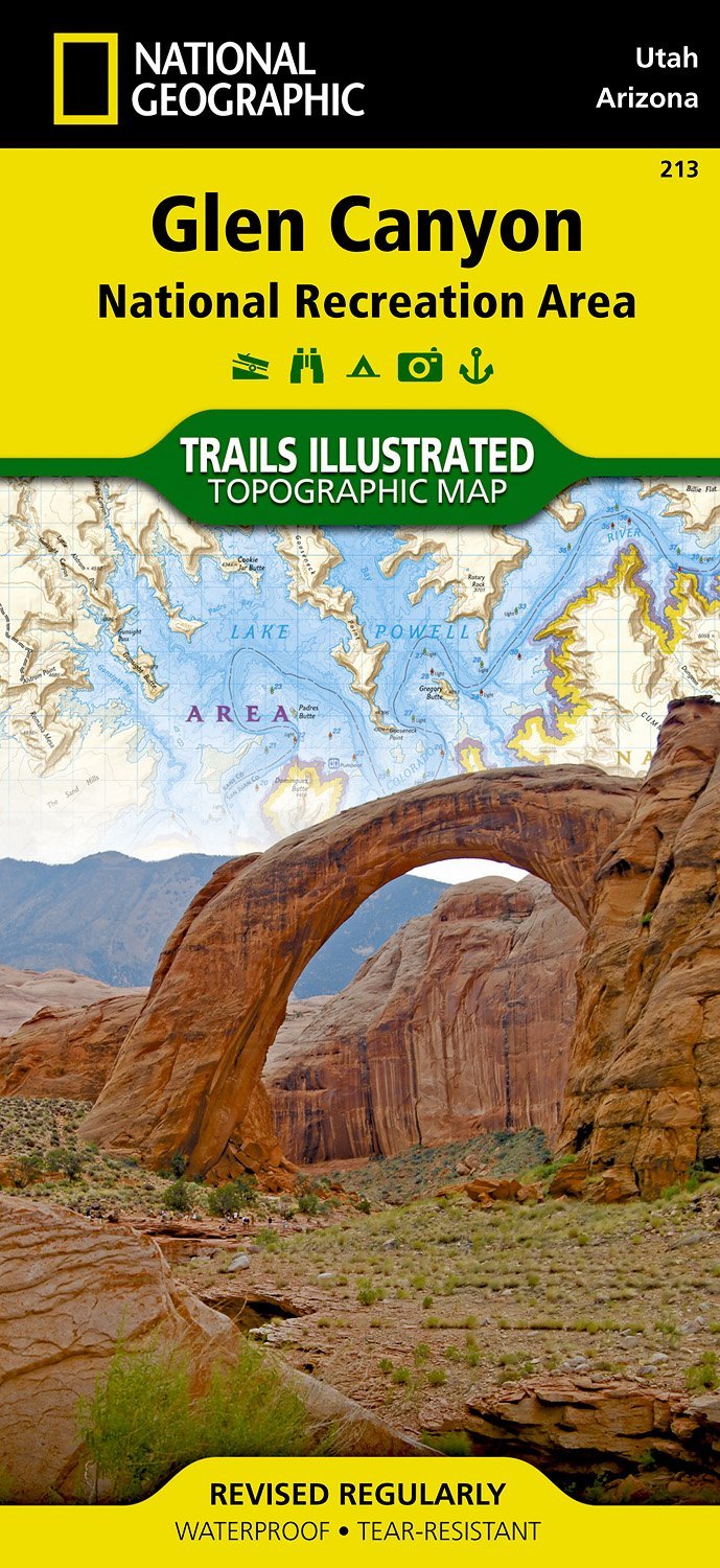
- Wandelkaart - Topografische kaart 213 Glen Canyon National Recreation Area | National Geographic
- Prachtige geplastificeerde kaart van het nationaal park. Met alle recreatieve voorzieningen als campsites, maar ook met topografische details en wandelroutes ed. Door uitgekiend kleurgebruik zeer prettig in gebruik. Scheur en watervast! Our Glen Canyon NRA and Rainbow Bridge NM Trails Illustrated map provides detailed topographic coverage,... Read more
- Also available from:
- Stanfords, United Kingdom

United Kingdom
- Glen Canyon NRA - Capitol Reef NP UT/AZ
- Map No. 213, Glen Canyon National Recreation Area/Capitol Reef National Park, UT/AZ, in an extensive series of GPS compatible, contoured hiking maps of USA’s national and state parks or forests and other popular recreational areas. Cartography based on the national topographic survey, with additional tourist information.The maps, with most... Read more
Netherlands
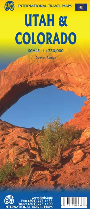
- Wegenkaart - landkaart Utah & Colorado | ITMB
- Colorado/Utah 1:750.000 ab 10.49 EURO International Travel Map ITM. 1st edition Read more

Netherlands
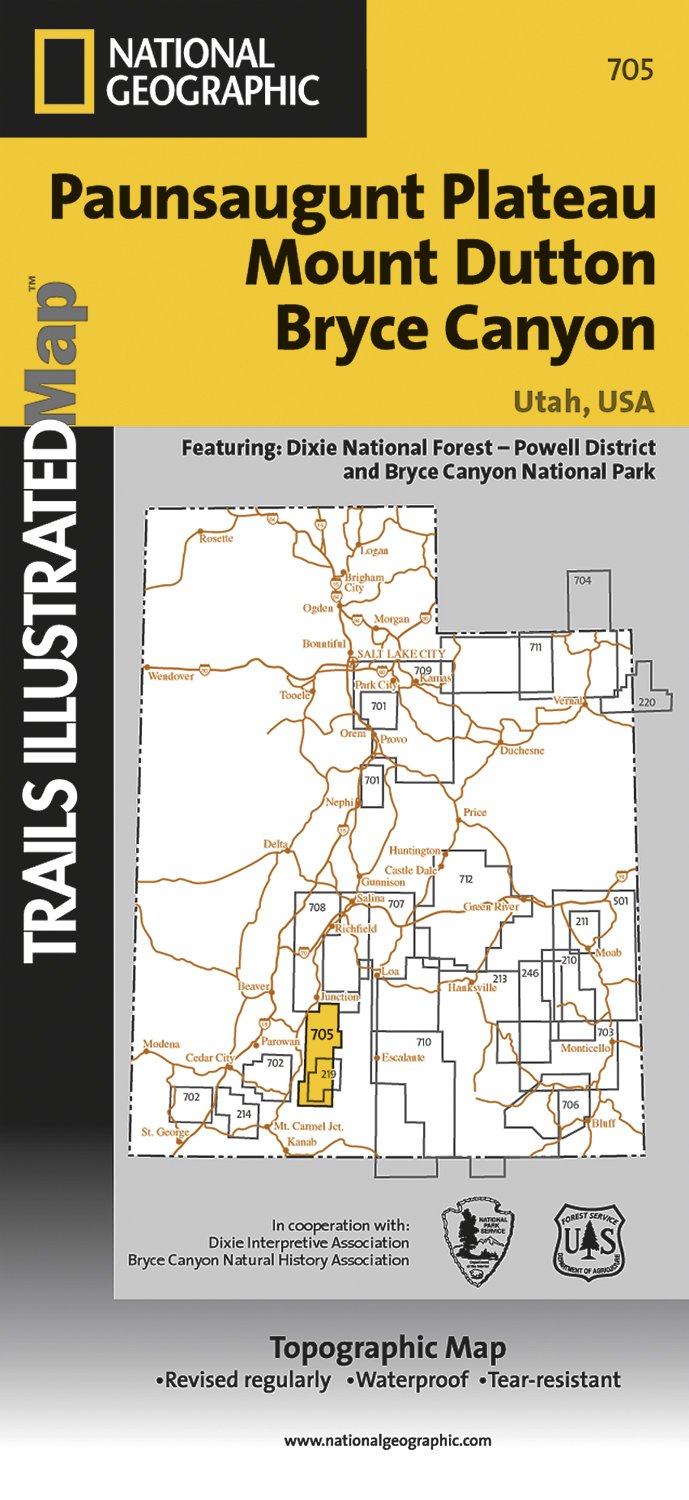
- Wandelkaart - Topografische kaart 705 Paunsaugunt Plateau - Mount Dutton - Bryce Canyon | National Geographic
- Prachtige geplastificeerde kaart van het bekende nationaal park. Met alle recreatieve voorzieningen als campsites, maar ook met topografische details en wandelroutes ed. Door uitgekiend kleurgebruik zeer prettig in gebruik. Scheur en watervast! Coverage includes Dixie National Forest. Bryce Canyon National Park; Paunsaugunt Plateau; Red Canyon,... Read more
- Also available from:
- Stanfords, United Kingdom

United Kingdom
- Paunsaugunt Plateau - Mount Dutton - Bryce Canyon UT NGS Trails Illustrated Map 705
- Map No. 705, Paunsaugunt Plateau - Mount Dutton - Bryce Canyon in Utah in an extensive series of GPS compatible, contoured hiking maps of USA’s national and state parks or forests and other popular recreational areas. Cartography based on the national topographic survey, with additional tourist information.The maps, with most titles now printed... Read more
Netherlands
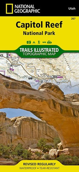
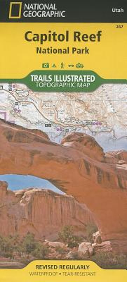
- Wandelkaart 267 Capitol Reef National Park | National Geographic
- Map No. 267, Capitol Reef National Park in Utah at 1:75,000 in an extensive series of GPS compatible, contoured hiking maps of USA Read more
- Also available from:
- Bol.com, Netherlands
- Bol.com, Belgium
- Stanfords, United Kingdom
Netherlands
- Capitol Reef National Park
- Waterproof Tear-Resistant Topographic MapNational Geographic's Trails Illustrated map of Capitol Reef National Park is a two-sided, waterproof map designed to meet the needs of outdoor enthusiasts with unmatched durability, detail, and up-to-date recreation information.The front side of the map details the topography, four wheel drive... Read more
Belgium
- Capitol Reef National Park
- Waterproof Tear-Resistant Topographic MapNational Geographic's Trails Illustrated map of Capitol Reef National Park is a two-sided, waterproof map designed to meet the needs of outdoor enthusiasts with unmatched durability, detail, and up-to-date recreation information.The front side of the map details the topography, four wheel drive... Read more

United Kingdom
- Capitol Reef National Park UT NGS Trails Illustrated Map 267
- Map No. 267, Capitol Reef National Park in Utah at 1:75,000 in an extensive series of GPS compatible, contoured hiking maps of USA’s national and state parks or forests and other popular recreational areas. Cartography based on the national topographic survey, with additional tourist information.The maps, with most titles now printed on light,... Read more
.jpg)
Netherlands
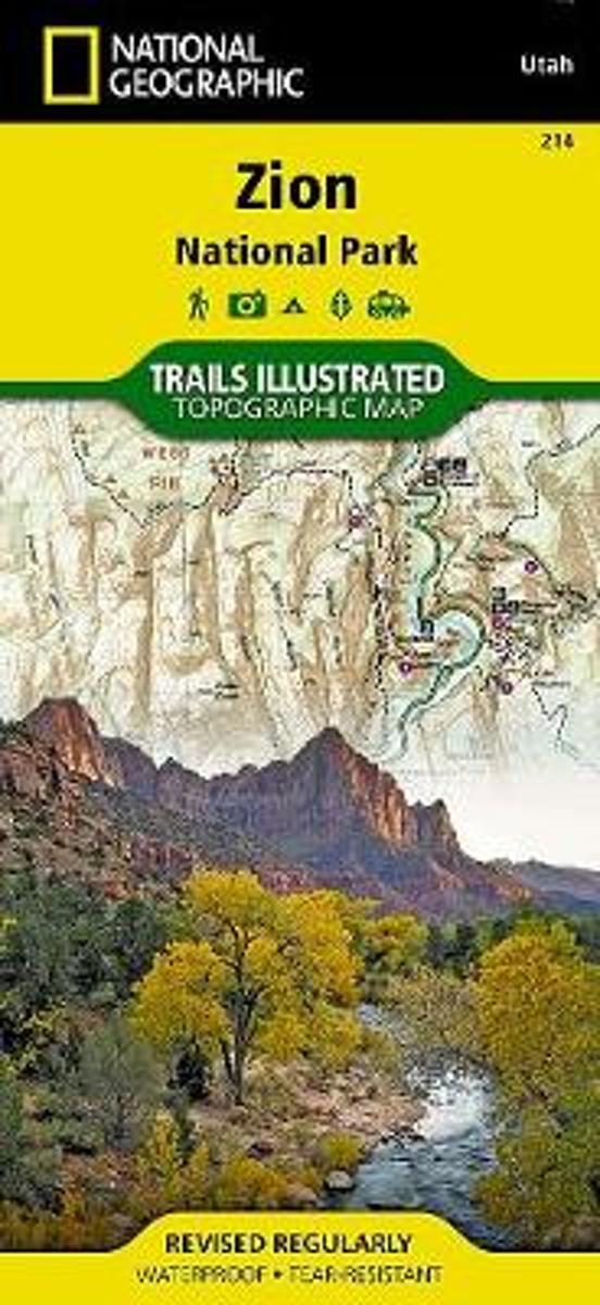
- Wandelkaart - Topografische kaart 214 Zion National Park | National Geographic
- Prachtige geplastificeerde kaart van het bekende nationaal park. Met alle recreatieve voorzieningen als campsites, maar ook met topografische details en wandelroutes ed. Door uitgekiend kleurgebruik zeer prettig in gebruik. Scheur en watervast! This National Geographic Trails Illustrated folded map offers comprehensive coverage of Zion National... Read more
- Also available from:
- Bol.com, Netherlands
- Bol.com, Belgium
- Stanfords, United Kingdom
- The Book Depository, United Kingdom
Netherlands
- Zion National Park
- Waterproof Tear-Resistant Topographic MapExplore the beauty and geological wonder of Utah's first national park with National Geographic's Trails Illustrated map of Zion National Park. Created in partnership with local land management agencies, this expertly researched map combines unmatched detail with useful information to help you get... Read more
Belgium
- Zion National Park
- Waterproof Tear-Resistant Topographic MapExplore the beauty and geological wonder of Utah's first national park with National Geographic's Trails Illustrated map of Zion National Park. Created in partnership with local land management agencies, this expertly researched map combines unmatched detail with useful information to help you get... Read more

United Kingdom
- Zion National Park UT NGS Trails Illustrated Map 214
- Map No. 214, Zion National Park, UT, in an extensive series of GPS compatible, contoured hiking maps of USA’s national and state parks or forests and other popular recreational areas. Cartography based on the national topographic survey, with additional tourist information.The maps, with most titles now printed on light, waterproof and... Read more


Netherlands
- Wandelkaart - Topografische kaart 219 Bryce Canyon National Park | National Geographic
- Prachtige geplastificeerde kaart van het bekende nationaal park. Met alle recreatieve voorzieningen als campsites, maar ook met topografische details en wandelroutes ed. Door uitgekiend kleurgebruik zeer prettig in gebruik. Scheur en watervast! This informative Trails Illustrated map will help you plan trips and explore the area in and around... Read more
- Also available from:
- Bol.com, Netherlands
- Bol.com, Belgium
- Stanfords, United Kingdom
- The Book Depository, United Kingdom

Netherlands
- Bryce Canyon National Park
- Waterproof Tear-Resistant Topographic MapNational Geographic's Trails Illustrated map of Bryce Canyon National Park is designed to meet the needs of outdoor enthusiasts by combining valuable information with unmatched detail of this unique landscape of hoodoos and forest. Created in partnership with local land management agencies, this... Read more
Belgium
- Bryce Canyon National Park
- Waterproof Tear-Resistant Topographic MapNational Geographic's Trails Illustrated map of Bryce Canyon National Park is designed to meet the needs of outdoor enthusiasts by combining valuable information with unmatched detail of this unique landscape of hoodoos and forest. Created in partnership with local land management agencies, this... Read more

United Kingdom
- Bryce Canyon National Park UT NGS Trails Illustrated Map 219
- Map No. 219, Bryce Canyon National Park, UT, in an extensive series of GPS compatible, contoured hiking maps of USA’s national and state parks or forests and other popular recreational areas. Cartography based on the national topographic survey, with additional tourist information.The maps, with most titles now printed on light, waterproof and... Read more

United Kingdom
- Bryce Canyon National Park
- Trails Illustrated National Parks Read more
Netherlands
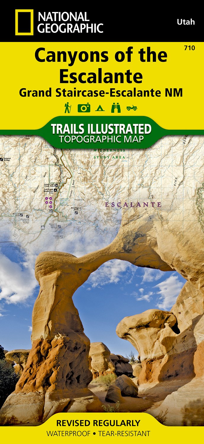
- Wandelkaart - Topografische kaart 710 Canyons of the Escalante - Grand Staircase-Escalante National Monument | National Geographic
- Prachtige geplastificeerde kaart van het bekende nationaal park. Met alle recreatieve voorzieningen als campsites, maar ook met topografische details en wandelroutes ed. Door uitgekiend kleurgebruik zeer prettig in gebruik. Scheur en watervast! Coverage includes BLM - Escalante Resource Area, Dixie National Forest, Glen Canyon National... Read more
- Also available from:
- Bol.com, Netherlands
- Bol.com, Belgium
- Stanfords, United Kingdom
Netherlands
- Canyons Of The Escalante
- Waterproof Tear-Resistant Topographic MapAt over 1.7 million acres, Grand Staircase-Escalante National Monument encompasses the largest land area of all national monuments in the United States. National Geographic's Trails Illustrated map of Canyons of the Escalante delivers unmatched detail and valuable information to assist you in your... Read more
Belgium
- Canyons Of The Escalante
- Waterproof Tear-Resistant Topographic MapAt over 1.7 million acres, Grand Staircase-Escalante National Monument encompasses the largest land area of all national monuments in the United States. National Geographic's Trails Illustrated map of Canyons of the Escalante delivers unmatched detail and valuable information to assist you in your... Read more

United Kingdom
- Canyons of the Escalante UT
- Map No. 710, Canyons of the Escalante, UT, in an extensive series of GPS compatible, contoured hiking maps of USA’s national and state parks or forests and other popular recreational areas. Cartography based on the national topographic survey, with additional tourist information.The maps, with most titles now printed on light, waterproof and... Read more

Netherlands
- Wandelkaart 262 Grand Canyon East - Oost | National Geographic
- Prachtige geplastificeerde kaart van het nationaal park. Met alle recreatieve voorzieningen als campsites, maar ook met topografische details en wandelroutes ed. Door uitgekiend kleurgebruik zeer prettig in gebruik. Scheur en watervast! Grand Canyon East (#262) and Grand Canyon West (#263) combine to cover the entire Grand Canyon National Park... Read more
- Also available from:
- Bol.com, Netherlands
- Bol.com, Belgium

Netherlands
- Grand Canyon East
- Waterproof Tear-Resistant Topographic MapGrand Canyon East (#262) and Grand Canyon West (#263) combine to cover the entire Grand Canyon National Park and its bordering public lands. Both maps contain detailed and easy-to-read trail and road networks, locations of facilities, points of interest, and highly accurate terrain with thousands... Read more
Belgium
- Grand Canyon East
- Waterproof Tear-Resistant Topographic MapGrand Canyon East (#262) and Grand Canyon West (#263) combine to cover the entire Grand Canyon National Park and its bordering public lands. Both maps contain detailed and easy-to-read trail and road networks, locations of facilities, points of interest, and highly accurate terrain with thousands... Read more
Netherlands
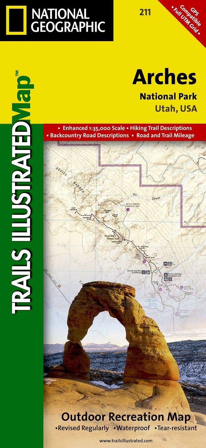
- Wandelkaart - Topografische kaart 211 Arches National Park | National Geographic
- Prachtige geplastificeerde kaart van het nationaal park. Met alle recreatieve voorzieningen als campsites, maar ook met topografische details en wandelroutes ed. Door uitgekiend kleurgebruik zeer prettig in gebruik. Scheur en watervast! Trails Illustrated maps are the most trusted and popular recreation maps available. Continually setting the... Read more
- Also available from:
- Bol.com, Netherlands
- Bol.com, Belgium
- Stanfords, United Kingdom
Netherlands
- Arches National Park
- Waterproof Tear-Resistant Topographic MapThis map is updated to reflect road closings, new trails, and campground relocation, and includes detailed trail information, points of interest, trailheads, picnic areas, facilities, and more. Included on the map are Arches National Park, The Highlands, Little Valley, Devils Garden, Lost Spring... Read more
Belgium
- Arches National Park
- Waterproof Tear-Resistant Topographic MapThis map is updated to reflect road closings, new trails, and campground relocation, and includes detailed trail information, points of interest, trailheads, picnic areas, facilities, and more. Included on the map are Arches National Park, The Highlands, Little Valley, Devils Garden, Lost Spring... Read more

United Kingdom
- Arches National Park UT NGS Trails Illustrated Map 211
- Map No. 211, Arches National Park, UT, in an extensive series of GPS compatible, contoured hiking maps of USA’s national and state parks or forests and other popular recreational areas. Cartography based on the national topographic survey, with additional tourist information.The maps, with most titles now printed on light, waterproof and... Read more
Netherlands
- Wandelkaart - Topografische kaart 312 Maze District - Canyonlands National Park | National Geographic
- Prachtige geplastificeerde kaart van het bekende nationaal park. Met alle recreatieve voorzieningen als campsites, maar ook met topografische details en wandelroutes ed. Door uitgekiend kleurgebruik zeer prettig in gebruik. Scheur en watervast! This sectional map of Canyonlands National Park zooms in on the Maze District in the western area of... Read more
- Also available from:
- Bol.com, Netherlands
- Bol.com, Belgium
- Stanfords, United Kingdom
Netherlands
- Maze District Canyonlands National Park
- Waterproof Tear-Resistant Topographic MapThis sectional map of Canyonlands National Park zooms in on the Maze District in the western area of the park. This map provides more detail of this area than the full Canyonlands National Park map with an enhanced scale. The map includes trail and backcountry road charts, backcountry zones and... Read more
Belgium
- Maze District Canyonlands National Park
- Waterproof Tear-Resistant Topographic MapThis sectional map of Canyonlands National Park zooms in on the Maze District in the western area of the park. This map provides more detail of this area than the full Canyonlands National Park map with an enhanced scale. The map includes trail and backcountry road charts, backcountry zones and... Read more

United Kingdom
- Maze District - Canyonlands UT
- Map No. 312, Canyonlands: Maze District, UT, in an extensive series of GPS compatible, contoured hiking maps of USA’s national and state parks or forests and other popular recreational areas. Cartography based on the national topographic survey, with additional tourist information.The maps, with most titles now printed on light, waterproof and... Read more

United Kingdom
2014
- Normandy D-Day - 6 June 1944 IGN Map
- Commemorative map from the IGN for the 70th anniversary of the D-Day landings in Normandy on 6th June 1944, presenting in three large panels various grouping of the Allied Armies and the defending German forces, the changes in the front lines between 6th June and 18th August, and present day commemorative sites and monuments, plus additional... Read more

United Kingdom
- Fish Lake - Manti UT
- Map No. 707, Fish Lake - Capitol Reef are un Utah at 1:90,000 in an extensive series of GPS compatible, contoured hiking maps of USA’s national and state parks or forests and other popular recreational areas. Cartography based on the national topographic survey, with additional tourist information.The maps, with most titles now printed on... Read more

United Kingdom
- Las Vegas Borch
- Very clear, indexed tourist street plan of the city on durable, laminated paper, with additional maps of the surrounding area and the Grand Canyon. The main map includes the Strip, Interstate 15 to the west, Downtown, the international airport, and much of the Winchester district east of the Strip. Detail includes one-way streets, casinos,... Read more