
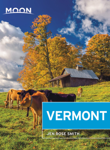
Vermont
Beschrijving
Vermont's forested Green Mountains are a fine setting for the Long Trail, a 265 mile trail in this state in the New England region. Then there is the Appalachian Trail, another 137 miles in Vermont. The Eastern Continental Trail is partly in this state.
Green Mountains National Forest and Mount Mansfield State Forest are good for hiking.
It all adds up to an excellent hiking performance, this state of Vermont, probably the best of New England.
Kaart

Paden in deze landsdeel
Links
Feiten
Verslagen
Gidsen en kaarten
Overnachting
Organisaties
Reisorganisaties
GPS
Anders
Boeken


De Zwerver
Netherlands
2018
Netherlands
2018
- Wandelgids USA: Appalachian Trail | Conrad Stein Verlag
- Handzame overzichtsgids van deze geweldige en uitdagende lange afstands wandeling in het oosten van de USA: de Appalachian Trail. Het is een ideale gids om de hele tocht voor te bereiden en als basisgids bij je te hebben. Goede beschrijvingen van etappes en veel praktische informatie. Het enige wat mager is zijn dekaarten: goed voor overzicht... Read more
De Zwerver
Netherlands
2022
Netherlands
2022
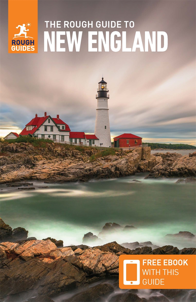
- Reisgids New England | Rough Guides
- Practical travel guide to New England with a free eBook featuring points-of-interest structured lists of all sights and off-the-beaten-track treasures, with detailed colour-coded maps, practical details about what to see and to do in New England, how to get there and around, pre-departure information, as well as top time-saving tips, like a... Read more
- Also available from:
- Stanfords, United Kingdom

Stanfords
United Kingdom
2022
United Kingdom
2022
- The Rough Guide to New England (Compact Guide with Free eBook)
- Practical travel guide to New England with a free eBook featuring points-of-interest structured lists of all sights and off-the-beaten-track treasures, with detailed colour-coded maps, practical details about what to see and to do in New England, how to get there and around, pre-departure information, as well as top time-saving tips, like a... Read more

De Zwerver
Netherlands
Netherlands

Bol.com
Netherlands
Netherlands
- The Verb to Bird
- "[A] delightfully literary and eclectic memoir about the manifold joys of birdingCashwell is a storyteller. A very literate, observant, insightful storyteller."The Bloomsbury Review"Reading this book was the next best thing to wandering in the woods with Peter Cashwell hoping to add a rufous-capped warbler to my life list. No, it was betterI... Read more
- Also available from:
- Bol.com, Belgium
Bol.com
Belgium
Belgium
- The Verb to Bird
- "[A] delightfully literary and eclectic memoir about the manifold joys of birdingCashwell is a storyteller. A very literate, observant, insightful storyteller."The Bloomsbury Review"Reading this book was the next best thing to wandering in the woods with Peter Cashwell hoping to add a rufous-capped warbler to my life list. No, it was betterI... Read more

Bol.com
Netherlands
Netherlands
- LE Americhe in Scala 1
- In viaggio: da New York a Buenos Aires. Prima tappa: Penn Station. Ultima tappa: Retiro. Ma mica diretto, no. Molte tappe di approssimazione successiva collegate da treni autobus e traghetti, tutti mezzi pubblici sia ben chiaro, magari anche qualche tratta a piedi. Perche se e l'Altra America che voglio conoscere, tanto vale che cominci da... Read more
- Also available from:
- Bol.com, Belgium
Bol.com
Belgium
Belgium
- LE Americhe in Scala 1
- In viaggio: da New York a Buenos Aires. Prima tappa: Penn Station. Ultima tappa: Retiro. Ma mica diretto, no. Molte tappe di approssimazione successiva collegate da treni autobus e traghetti, tutti mezzi pubblici sia ben chiaro, magari anche qualche tratta a piedi. Perche se e l'Altra America che voglio conoscere, tanto vale che cominci da... Read more
Bol.com
Netherlands
Netherlands
- Barefoot Sisters Southbound
- Sisters Lucy and Susan Letcher begin their barefoot thru-hike of the Appalachian Trail. A story filled with humor and determination. Read more
- Also available from:
- Bol.com, Belgium
Bol.com
Belgium
Belgium
- Barefoot Sisters Southbound
- Sisters Lucy and Susan Letcher begin their barefoot thru-hike of the Appalachian Trail. A story filled with humor and determination. Read more
Bol.com
Netherlands
Netherlands
- Journey on the Crest
- "Cindy Ross does not claim to be a heroine. Her book is about the fear of an ordinary person doing extraordinary things. . . . It is good to read of someone who is just crammed full of courage, guts, spirit and determination." Smoke Blanchard, Walking Up and Down in the WorldCindy Ross had already hiked the 2000-mile length of the Appalachian... Read more
- Also available from:
- Bol.com, Belgium
Bol.com
Belgium
Belgium
- Journey on the Crest
- "Cindy Ross does not claim to be a heroine. Her book is about the fear of an ordinary person doing extraordinary things. . . . It is good to read of someone who is just crammed full of courage, guts, spirit and determination." Smoke Blanchard, Walking Up and Down in the WorldCindy Ross had already hiked the 2000-mile length of the Appalachian... Read more

Bol.com
Netherlands
Netherlands
- A Walk in the Woods
- In the company of his friend Stephen Katz (last seen in the bestselling Neither Here nor There), Bill Bryson set off to hike the Appalachian Trail, the longest continuous footpath in the world. Ahead lay almost 2,200 miles of remote mountain wilderness filled with bears, moose, bobcats, rattlesnakes, poisonous plants, disease-bearing tics, the... Read more
- Also available from:
- Bol.com, Belgium
Bol.com
Belgium
Belgium
- A Walk in the Woods
- In the company of his friend Stephen Katz (last seen in the bestselling Neither Here nor There), Bill Bryson set off to hike the Appalachian Trail, the longest continuous footpath in the world. Ahead lay almost 2,200 miles of remote mountain wilderness filled with bears, moose, bobcats, rattlesnakes, poisonous plants, disease-bearing tics, the... Read more
Bol.com
Netherlands
Netherlands
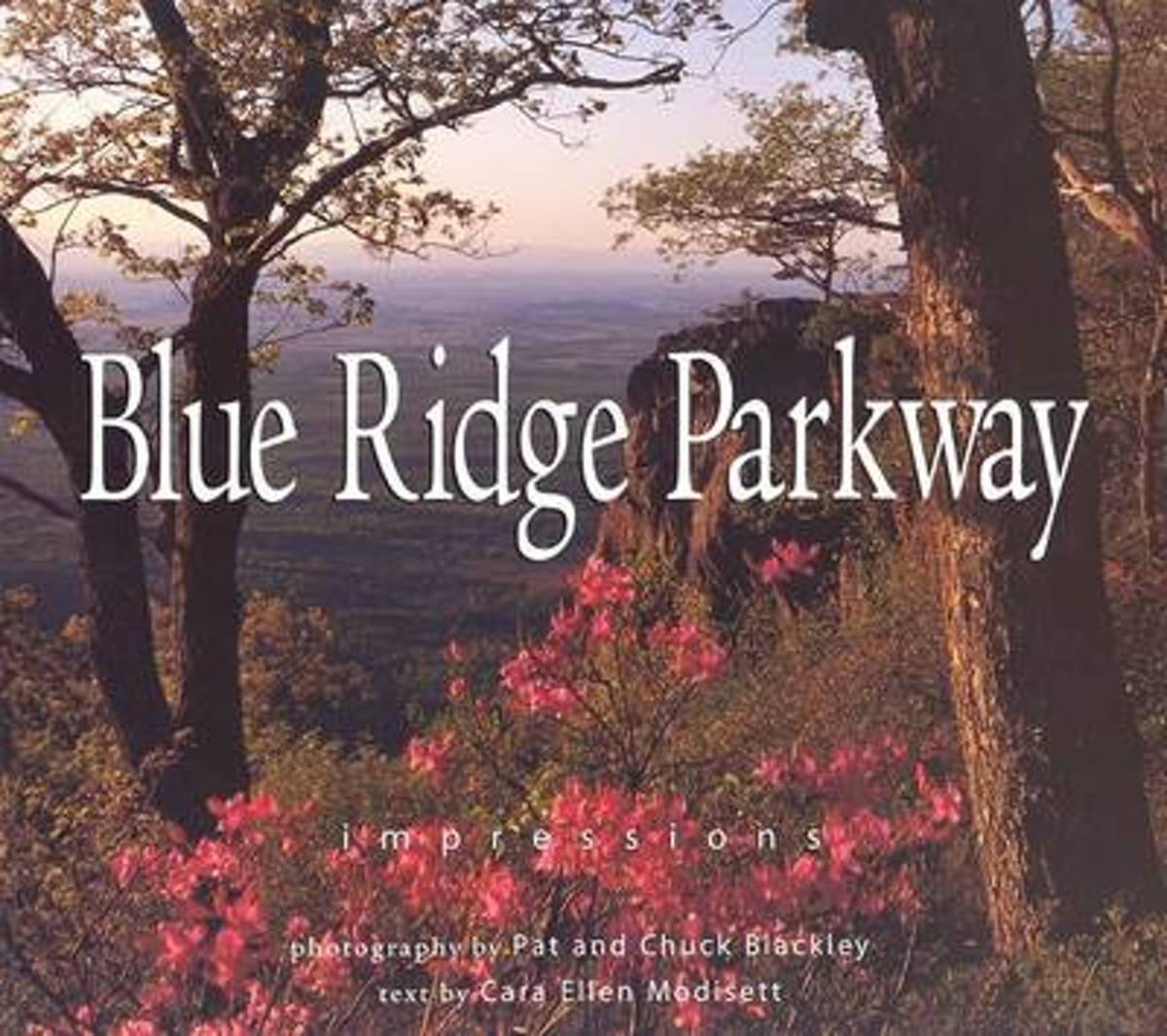
- Blue Ridge Parkway
- One of the most beloved parks in the country, Blue Ridge Parkway, called America's Most Scenic Drive, is a 469-mile roadway that climbs the ridgelines and peaks of the Appalachian Mountains between Shenandoah National park and the Great Smoky Mountains. Historic sites such as gristmills, bridges, and one-room schoolhouses exist along the... Read more
- Also available from:
- Bol.com, Belgium
Bol.com
Belgium
Belgium
- Blue Ridge Parkway
- One of the most beloved parks in the country, Blue Ridge Parkway, called America's Most Scenic Drive, is a 469-mile roadway that climbs the ridgelines and peaks of the Appalachian Mountains between Shenandoah National park and the Great Smoky Mountains. Historic sites such as gristmills, bridges, and one-room schoolhouses exist along the... Read more
Bol.com
Netherlands
Netherlands
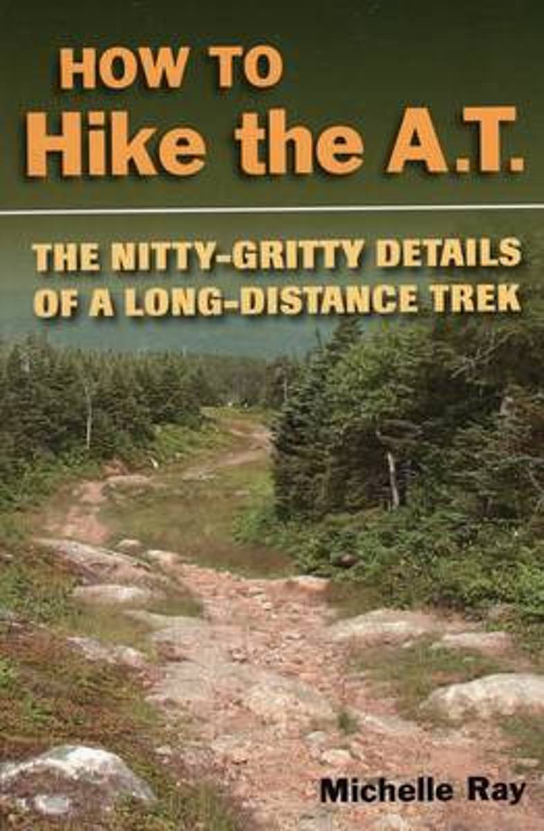
- How to Hike the A.T.
- How to plan and prepare for a long-distance hike on the Appalachian Trail. Includes information on trail nutrition, culture, first aid, gear, weather conditions, and more. Expert advice from an experienced long-distance hiker along with useful information for any long-distance trek. Read more
- Also available from:
- Bol.com, Belgium
- The Book Depository, United Kingdom
Bol.com
Belgium
Belgium
- How to Hike the A.T.
- How to plan and prepare for a long-distance hike on the Appalachian Trail. Includes information on trail nutrition, culture, first aid, gear, weather conditions, and more. Expert advice from an experienced long-distance hiker along with useful information for any long-distance trek. Read more

The Book Depository
United Kingdom
United Kingdom
- How to Hike the A.T.
- The Nitty-Gritty Details of a Long-Distance Trek Read more
Bol.com
Netherlands
Netherlands
- Moon New England (First Edition)
- Explore the best of New England's historic cities, admire the famed foliage, stroll the stunning coastline, and more with Moon New England. Inside you'll find: * Strategic, flexible itineraries that can be adapted for your schedule, including: Fall Foliage, Acadia National Park, White Mountain Peaks, Small-Batch Breweries, Revolutionary Roads,... Read more
- Also available from:
- Bol.com, Belgium
Bol.com
Belgium
Belgium
- Moon New England (First Edition)
- Explore the best of New England's historic cities, admire the famed foliage, stroll the stunning coastline, and more with Moon New England. Inside you'll find: * Strategic, flexible itineraries that can be adapted for your schedule, including: Fall Foliage, Acadia National Park, White Mountain Peaks, Small-Batch Breweries, Revolutionary Roads,... Read more
Bol.com
Netherlands
Netherlands
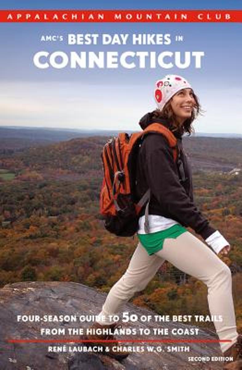
- Amc's Best Day Hikes in Connecticut
- Discover fifty of the best day hikes the state of Connecticut has to offer with this fully updated, four-season guide from the outdoor experts at the Appalachian Mountain Club. Whether you are a visitor looking to explore the tallest peak in the state, a longtime resident seeking new riverside or shoreline adventures, or a family seeking short... Read more
- Also available from:
- Bol.com, Belgium
Bol.com
Belgium
Belgium
- Amc's Best Day Hikes in Connecticut
- Discover fifty of the best day hikes the state of Connecticut has to offer with this fully updated, four-season guide from the outdoor experts at the Appalachian Mountain Club. Whether you are a visitor looking to explore the tallest peak in the state, a longtime resident seeking new riverside or shoreline adventures, or a family seeking short... Read more
Bol.com
Netherlands
Netherlands
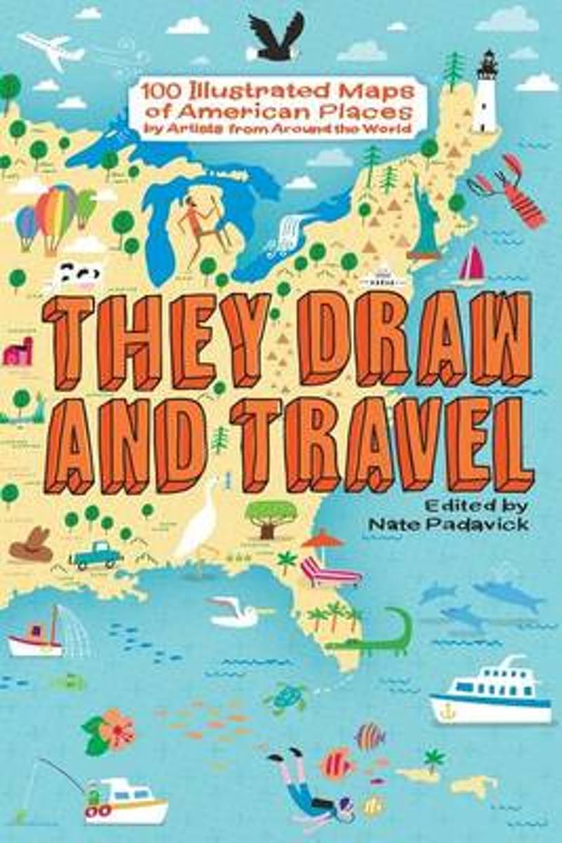
- They Draw and Travel
- In 2011, the brother-and-sister design duo Nate Padavick and Salli Swindell founded the website They Draw & Travel. Today it is the largest collection of online illustrated maps created by artists, illustrators and doodlers from around the world. This book is a selection of 100 illustrations of places in the United States envisioned by the... Read more
- Also available from:
- Bol.com, Belgium
Bol.com
Belgium
Belgium
- They Draw and Travel
- In 2011, the brother-and-sister design duo Nate Padavick and Salli Swindell founded the website They Draw & Travel. Today it is the largest collection of online illustrated maps created by artists, illustrators and doodlers from around the world. This book is a selection of 100 illustrations of places in the United States envisioned by the... Read more
Kaarten

De Zwerver
Netherlands
2014
Netherlands
2014
- Wandelkaart Glyndwr's Way | Harvey Maps
- Glyndwr's Way, a 217km / 135 mile long trail from Knighton in Powys to Welshpool presented at 1:40,000 on a GPS compatible, light, waterproof and tear-resistant map from Harvey Map Services. The whole route is covered on eight overlapping panels. Map legend includes Welsh; most of the additional information is in English only.Maps in the Harvey Read more
- Also available from:
- Stanfords, United Kingdom

Stanfords
United Kingdom
2014
United Kingdom
2014
- Glyndwr`s Way Harvey National Trail XT40
- Glyndwr`s Way, a 217km / 135 mile long trail from Knighton in Powys to Welshpool presented at 1:40,000 on a GPS compatible, light, waterproof and tear-resistant map from Harvey Map Services. The whole route is covered on eight overlapping panels. Map legend includes Welsh; most of the additional information is in English only.Maps in the... Read more

De Zwerver
Netherlands
Netherlands
- Wandelkaart - Topografische kaart 747 Green Mountain National Forest North - Moosalamoo NRA - Rutland | National Geographic
- Prachtige geplastificeerde kaart van het bekende nationaal park. Met alle recreatieve voorzieningen als campsites, maar ook met topografische details en wandelroutes ed. Door uitgekiend kleurgebruik zeer prettig in gebruik. Scheur en watervast! National Geographic's Green Mountain National Forest North Trails Illustrated topographic map is... Read more
- Also available from:
- Bol.com, Netherlands
- Bol.com, Belgium
- Stanfords, United Kingdom
- The Book Depository, United Kingdom

Bol.com
Netherlands
Netherlands
- Green Mountains N.F., Moosalamoo NRA/Rutland
- Waterproof Tear-Resistant Topographic MapNational Geographic's Green Mountain National Forest North Trails Illustrated topographic map is the most comprehensive available for outdoor enthusiasts of all types. Designed to be easy-to-read, yet highly detailed this map includes a comprehensive road and trail network distinguishing between... Read more
Bol.com
Belgium
Belgium
- Green Mountains N.F., Moosalamoo NRA/Rutland
- Waterproof Tear-Resistant Topographic MapNational Geographic's Green Mountain National Forest North Trails Illustrated topographic map is the most comprehensive available for outdoor enthusiasts of all types. Designed to be easy-to-read, yet highly detailed this map includes a comprehensive road and trail network distinguishing between... Read more

Stanfords
United Kingdom
United Kingdom
- Green Mountain National Forest - Moosalamoo NRA - Rutland VT
- Map No. 747, Green Mountain National Forest: Moosalamoo NRA - Rutland area in Vermont, in an extensive series of GPS compatible, contoured hiking maps of USA’s national and state parks or forests and other popular recreational areas. Cartography based on the national topographic survey, with additional tourist information.The maps, with most... Read more

The Book Depository
United Kingdom
United Kingdom
- Green Mountains N.f., Moosalamoo Nra/rutland
- Trails Illustrated Other Rec. Areas Read more

Bol.com
Netherlands
Netherlands
- Springer & Cohutta Mountains, Chattahoochee National Forest
- Waterproof Tear-Resistant Topographic MapLocated just north of Atlanta, the Chattahoochee National Forest contains the southern terminus of the Appalachian Trail along with an abundance of recreational opportunities for outdoor enthusiasts of all interests.This detailed recreation map contains carefully researched trails, campsites,... Read more
- Also available from:
- Bol.com, Belgium
- Stanfords, United Kingdom
Bol.com
Belgium
Belgium
- Springer & Cohutta Mountains, Chattahoochee National Forest
- Waterproof Tear-Resistant Topographic MapLocated just north of Atlanta, the Chattahoochee National Forest contains the southern terminus of the Appalachian Trail along with an abundance of recreational opportunities for outdoor enthusiasts of all interests.This detailed recreation map contains carefully researched trails, campsites,... Read more

Stanfords
United Kingdom
United Kingdom
- Chattahoochee National Forest - Springer and Cohutta Mountains GA/SC 777
- Map No. 777, Chattahoochee National Forest: Springer and Cohutta Mountains, GA/SC, in an extensive series of GPS compatible, contoured hiking maps of USA’s national and state parks or forests and other popular recreational areas. Cartography based on the national topographic survey, with additional tourist information.The maps, with most titles... Read more

De Zwerver
Netherlands
Netherlands
- Wandelkaart - Topografische kaart 318 Mount Rogers High Country - Grayson Highlands State Park | National Geographic
- Prachtige geplastificeerde kaart van het bekende nationaal park. Met alle recreatieve voorzieningen als campsites, maar ook met topografische details en wandelroutes ed. Door uitgekiend kleurgebruik zeer prettig in gebruik. Scheur en watervast! National Geographic's Trails Illustrated map of Mount Rogers High Country and Grayson Highlands... Read more
- Also available from:
- Bol.com, Netherlands
- Bol.com, Belgium
- Stanfords, United Kingdom
- The Book Depository, United Kingdom

Bol.com
Netherlands
Netherlands
- Mount Rogers High Country
- Waterproof Tear-Resistant Topographic MapNational Geographic's Trails Illustrated map of Mount Rogers High Country and Grayson Highlands State Park, Southwest Virginia, is a two-sided, waterproof, topographic trail map designed to meet the needs of outdoor enthusiasts with unmatched durability and detail. This map was created in... Read more
Bol.com
Belgium
Belgium
- Mount Rogers High Country
- Waterproof Tear-Resistant Topographic MapNational Geographic's Trails Illustrated map of Mount Rogers High Country and Grayson Highlands State Park, Southwest Virginia, is a two-sided, waterproof, topographic trail map designed to meet the needs of outdoor enthusiasts with unmatched durability and detail. This map was created in... Read more

Stanfords
United Kingdom
United Kingdom
- Mount Rogers High Country VA
- Map No. 318 - Mount Rogers High Country in Virginia in an extensive series of GPS compatible, contoured hiking maps of USA’s national and state parks or forests and other popular recreational areas. Cartography based on the national topographic survey, with additional tourist information.The maps, with most titles now printed on light,... Read more

The Book Depository
United Kingdom
United Kingdom
- Mount Rogers High Country
- Trails Illustrated Other Rec. Areas Read more
De Zwerver
Netherlands
2018
Netherlands
2018
- Wandelkaart West Highland Way | Harvey Maps
- Wandelkaart van de West Highland Way met uitsnedes van de route. Leap forward in technical excellence. Tough, light and 100% wateproof. Compact and light - the map itself weighs just 60gms - a third of the weight of a laminated map, and much less bulky. And you can fold or refold it time and again, or stuff it in your back pocket and it... Read more
- Also available from:
- Bol.com, Netherlands
- Bol.com, Belgium
- Stanfords, United Kingdom

Bol.com
Netherlands
2018
Netherlands
2018
- West Highland Way XT40
- The West Highland Way is 96 miles (153 km) long and links Milngavie (Glasgow) to Fort William. It run's from Scotland's largest city to the foot of its highest mountain, Ben Nevis, through the Loch Lomond and Trossachs National Park.Detailed mapping, full legend in English, French and German. National Grid. Read more
Bol.com
Belgium
2018
Belgium
2018
- West Highland Way XT40
- The West Highland Way is 96 miles (153 km) long and links Milngavie (Glasgow) to Fort William. It run's from Scotland's largest city to the foot of its highest mountain, Ben Nevis, through the Loch Lomond and Trossachs National Park.Detailed mapping, full legend in English, French and German. National Grid. Read more

Stanfords
United Kingdom
2018
United Kingdom
2018
- West Highland Way Harvey National Trail XT40
- The West Highland Way, Scotland’s premier 153km / 96 miles long trail from Milngavie near Glasgow along Loch Lomond to Fort William presented at 1:40,000 on a light, waterproof and tear-resistant map from Harvey Map Services. The whole route is covered by nine overlapping panels, and the map includes small street plan of Milngavie, Tyndrum,... Read more

De Zwerver
Netherlands
Netherlands
- Wandelkaart - Topografische kaart 316 Cades Cove - Elkmont - Great Smoky Mountains National Park | National Geographic
- Prachtige geplastificeerde kaart van het bekende nationaal park. Met alle recreatieve voorzieningen als campsites, maar ook met topografische details en wandelroutes ed. Door uitgekiend kleurgebruik zeer prettig in gebruik. Scheur en watervast! This title provides an increased scale of one of the most visited National Parks in the US, and one... Read more
- Also available from:
- Bol.com, Netherlands
- Bol.com, Belgium
- Stanfords, United Kingdom

Bol.com
Netherlands
Netherlands
- Cades Cove/elkmont, Great Smoky Mountains National Park
- Waterproof Tear-Resistant Topographic MapThis title provides an increased scale of one of the most visited National Parks in the US, and one of our more popular map titles. This increased scale will provide greater detail to the backcountry users and Appalachian Trail through-hikers.Park Introduction:Great Smoky Mountains National Park is... Read more
Bol.com
Belgium
Belgium
- Cades Cove/elkmont, Great Smoky Mountains National Park
- Waterproof Tear-Resistant Topographic MapThis title provides an increased scale of one of the most visited National Parks in the US, and one of our more popular map titles. This increased scale will provide greater detail to the backcountry users and Appalachian Trail through-hikers.Park Introduction:Great Smoky Mountains National Park is... Read more

Stanfords
United Kingdom
United Kingdom
- Cades Cove - Elkmont - Great Smoky Mountains National Park NC/TN
- Map No. 316, Great Smoky Mountains National Park: Cades Cove - Elkmont, NC/TN, in an extensive series of GPS compatible, contoured hiking maps of USA’s national and state parks or forests and other popular recreational areas. Cartography based on the national topographic survey, with additional tourist information.The maps, with most titles now... Read more
De Zwerver
Netherlands
2019
Netherlands
2019
- Wandelgids Hadrian's Wall path | Rucksack Readers
- Hadrian's Wall Path, a 138km / 86 mile long trail from Bowness-on-Solway to Wallsend along the remains of the Roman walls and forts, presented by Rucksack Readers in handy A5 size, spiral-bound, waterproof guide with mapping at 1:100,000. The 64-page guide provides general advice on when to go, availability of accommodation, etc, and includes... Read more
- Also available from:
- Bol.com, Netherlands
- Bol.com, Belgium
- Stanfords, United Kingdom
- The Book Depository, United Kingdom
Bol.com
Netherlands
2019
Netherlands
2019
- Hadrian's Wall Path
- ?Hadrians Wall Path runs for 86 miles from Bowness-on-Solway to Wallsend along the line of the Roman Wall completed in AD122 under the Emperor Hadrian. This National Trail crosses northern England from Irish Sea to North Sea and offers many chances to look at the forts, milecastles and interpretation centers within this UNESCO World Heritage... Read more
Bol.com
Belgium
2019
Belgium
2019
- Hadrian's Wall Path
- ?Hadrians Wall Path runs for 86 miles from Bowness-on-Solway to Wallsend along the line of the Roman Wall completed in AD122 under the Emperor Hadrian. This National Trail crosses northern England from Irish Sea to North Sea and offers many chances to look at the forts, milecastles and interpretation centers within this UNESCO World Heritage... Read more

Stanfords
United Kingdom
2019
United Kingdom
2019
- Hadrian`s Wall Path
- Hadrian`s Wall Path, a 138km / 86 mile long trail from Bowness-on-Solway to Wallsend along the remains of the Roman walls and forts, presented by Rucksack Readers in handy A5 size, spiral-bound, waterproof guide with mapping at 1:100,000. The 64-page guide provides general advice on when to go, availability of accommodation, etc, and includes... Read more

The Book Depository
United Kingdom
2019
United Kingdom
2019
- Hadrian's Wall Path
- Hadrian's Wall Path, a 138km / 86 mile long trail from Bowness-on-Solway to Wallsend along the remains of the Roman walls and forts, presented by Rucksack Readers in handy A5 size, spiral-bound, waterproof guide with mapping at 1:100,000. The 64-page guide provides general advice on when to go, availability of accommodation, etc, and includes... Read more

Bol.com
Netherlands
2014
Netherlands
2014
- Great Glen Way
- This guidebook (fully updated 2014) contains all you need to plan and enjoy a holiday walking or cycling along Scotland's historic Great Glen (77 miles/125 km). The Way runs between Fort William and Inverness, beside Scotland's highest mountain, along the historic Caledonian Canal and past beautiful lochs, including Loch Ness with its famous... Read more
- Also available from:
- Bol.com, Belgium
Bol.com
Belgium
2014
Belgium
2014
- Great Glen Way
- This guidebook (fully updated 2014) contains all you need to plan and enjoy a holiday walking or cycling along Scotland's historic Great Glen (77 miles/125 km). The Way runs between Fort William and Inverness, beside Scotland's highest mountain, along the historic Caledonian Canal and past beautiful lochs, including Loch Ness with its famous... Read more

Stanfords
United Kingdom
United Kingdom
- New Hampshire - Vermont DeLorme Atlas & Gazetteer
- New Hampshire Recreational Atlas & Gazetteer at 1:100,000 approx. in a series of large format paperback state atlases from DeLorme, with detailed, contoured, GPS compatible topographic mapping. The atlas includes indexed street plans of 67 main cities and towns, including Concord, Plymouth, Manchester, Exeter, Rochester, Laconia, Dover, Nashua,... Read more

Stanfords
United Kingdom
United Kingdom
- Munich-Venice Long Distance Cycle Route - incl Dolomites Route Bikeline Map-Guide
- Munich to Venice Cycle Route - a 600-km long trail crossing the Alps to Innsbruck and then across the Dolomites via Cortina d’Ampezzo, Belluno and Treviso, with alternative finishes either via Mestre or at the campsites south of Jesolo. Published by Verlag Esterbauer, the guide has maps at 1:75,000. Extensive information is conveyed by symbols,... Read more

Stanfords
United Kingdom
United Kingdom
- Altmuhl Cycle Route - Rothenburg ob der Tauber to Kelheim Bikeline Map-Guide
- Altmühl Cycle Route, a 250-km long trail along the river from Rothenburg ob der Tauber to Kelheim on the Danube, presented by the Verlag Esterbauer in a guide with maps at 1:50,000. Excursions and variants of the main route add a further 150 kilometres of cycling paths. Extensive information is conveyed by symbols, indicating road surface,... Read more

Stanfords
United Kingdom
United Kingdom
- Vltava Cycle Route: Šumava National Park to Prague (480km) Bikeline Map/Guide
- Vtava (Moldau) Cycle Route, a 480-km long trail from Želazná Ruda in the Šumava National Park along the Cech border with Germany and Austria to the Lipno Reservoir and then along the Vltava across the beautiful historic town of Ceský Krumlov and Ceské Budejovice to Prague, and beyond it to Melník to join the cycle route along the Elbe. The... Read more
De Zwerver
Netherlands
Netherlands
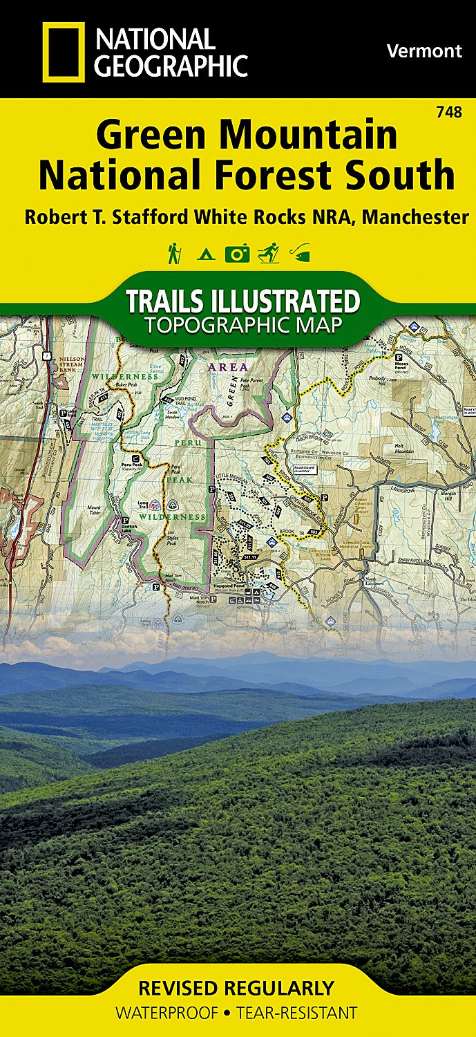
- Wandelkaart - Topografische kaart 748 Green Mountain National Forest South - Robert T. Stafford White Rocks NRA - Manchester | National Geographic
- Prachtige geplastificeerde kaart van het bekende nationaal park. Met alle recreatieve voorzieningen als campsites, maar ook met topografische details en wandelroutes ed. Door uitgekiend kleurgebruik zeer prettig in gebruik. Scheur en watervast! National Geographic's Green Mountain National Forest South Trails Illustrated topographic map is... Read more
- Also available from:
- Stanfords, United Kingdom
- The Book Depository, United Kingdom

Stanfords
United Kingdom
United Kingdom
- Green Mountain National Forest South - Robert T Stafford White Rocks NRA - Manchester VT
- Map No. 748, Green Mountain National Forest: White Rocks NRA - Manchester area in Vermont, in an extensive series of GPS compatible, contoured hiking maps of USA’s national and state parks or forests and other popular recreational areas. Cartography based on the national topographic survey, with additional tourist information.The maps, with... Read more

The Book Depository
United Kingdom
United Kingdom
- Green Mountains N.f., White Rocks Nra/manchester
- Trails Illustrated Other Rec. Areas Read more
De Zwerver
Netherlands
Netherlands
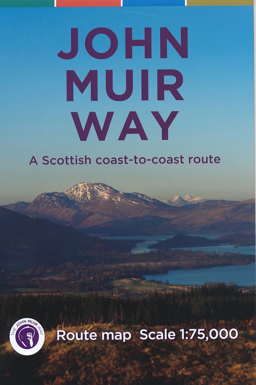
- Wandelkaart John Muir Way | SNH
- Geplastificeerde kaart van een coast-to-coast wandeling in Schotland, 215 km van Helensburg naar Dunbar. De route staat goed ingetekend op deze kaart. Read more
- Also available from:
- The Book Depository, United Kingdom
