
Wallis
Beschrijving
Kaart

Paden in deze regio
Links
Feiten
Verslagen
Gidsen en kaarten
Overnachting
Organisaties
Reisorganisaties
GPS
Anders
Boeken
De Zwerver
Netherlands
2021
Netherlands
2021
- Wandelgids Unterwallis | Rother Bergverlag
- Goede duitstalige wandelgids. Veel dagtochten, met gradaties en kleuren in zwaarte gerangschikt. Veel praktische informatie. Handzaam formaat. 50 Höhenprofile, 54 Wanderkärtchen im Maßstab 1:50.000, zwei Übersichtskarten im Maßstab 1:550.000 und 1:750.000 Wanderungen in den Walliser Alpen zählen zweifelsohne zu den vielseitigsten Erlebnissen,... Read more
De Zwerver
Netherlands
2015
Netherlands
2015
De Zwerver
Netherlands
2020
Netherlands
2020
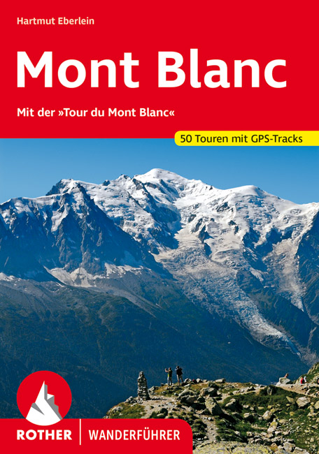
- Wandelgids 64 Mont Blanc (Duits) | Rother Bergverlag
- Uitstekende wandelgids met een groot aantal dagtochten in dal en hooggebergte. Met praktische informatie en beperkt kaartmateriaal! Wandelingen in verschillende zwaarte weergegeven in rood/blauw/zwart. 136 Seiten mit 58 Farbabbildungen 49 Wanderkärtchen im Maßstab 1:50.000, eine Übersichtskarte im Maßstab 1:460.000 Mont Blanc – wer diesen Namen... Read more

De Zwerver
Netherlands
2021
Netherlands
2021
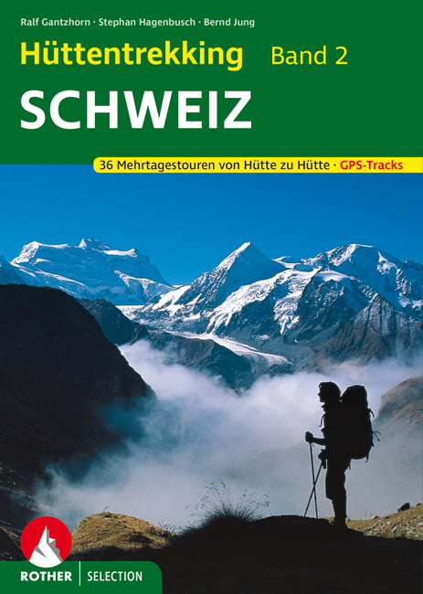
- Wandelgids Hüttentrekking Schweiz - Zwitserland Band 2 | Rother Bergverlag
- Absolute aanrader als het gaat om meerdaagse tochten van hut naar hut in Zwitserland. Gedegen Duitstalig boek! Die Schweiz gilt als Inbegriff einer schönen Landschaft. Nicht zufällig werden weltweit die unterschiedlichsten Regionen mit dem Beinamen der kleinen Alpenrepublik versehen und stets ist ein besonders reizvolles Fleckchen unserer Erde... Read more
De Zwerver
Netherlands
2020
Netherlands
2020
De Zwerver
Netherlands
2023
Netherlands
2023
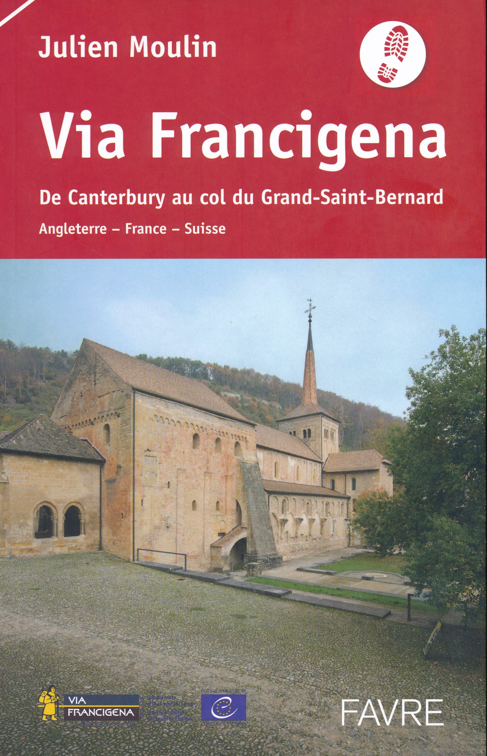
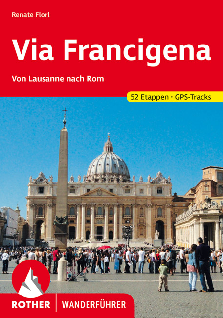
- Wandelgids - Pelgrimsroute Via Francigena - Lausanne naar Rome | Rother Bergverlag
- Von Lausanne nach Rom. 52 Etappen. Mit GPS-Daten Rother Wanderführer. 1., Auflage. Read more
De Zwerver
Netherlands
2009
Netherlands
2009
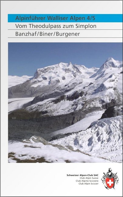
- Klimgids - Klettersteiggids Alpinführer Walliser Alpen 4/5 | SAC Schweizer Alpenclub
- Vom Theodulpass zum Simplon. 1. Auflage. Read more
De Zwerver
Netherlands
2018
Netherlands
2018
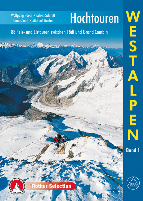
- Klimgids - Klettersteiggids Hochtouren Westalpen | Rother Bergverlag
- 88 Fels- und Eistouren zwischen Tödi und Grand Combin Rother Selection. 4., aktualisierte Auflage. Read more

De Zwerver
Netherlands
2013
Netherlands
2013
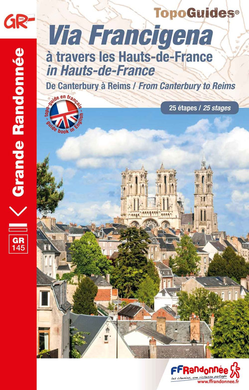
- Wandelgids 1451 La Via Francigena à travers le Pas-de-Calais GR145 | FFRP
- Guide FFRandonnée La Via Francigena à travers le Pas-de-Calais - GR 145 - 245 Km de sentiers GR.Ancienne voie de pèlerinage, au même titre que les chemins de Saint-Jacques ou du Mont-Saint-Michel, ce topo-guide bilingue français/anglais (une grande première !) comprend les 245 premiers kilomètres français de l'itinéraire ancestral reliant... Read more
- Also available from:
- Stanfords, United Kingdom

Stanfords
United Kingdom
2013
United Kingdom
2013
- GR145: The Via Francigena in Pas-de-Calais FFRP Topo-guide No. 1451
- The first stage in France of the Via Francigena, one of the great medieval pilgrim routes, in a bilingual English / French topoguide with colour extracts from IGN’s topographic survey at 1:50,000, accommodation recommendations, etc.The guide covers a 12 day - 235km long section from Calais to Rocquigny, including parts of WWI Western Front in... Read more
De Zwerver
Netherlands
2013
Netherlands
2013
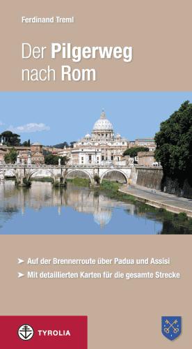
- Wandelgids - Pelgrimsroute Der Pilgerweg nach Rom | Tyrolia
- Auf der Brennerroute über Padua und Assisi. Abt-Albert-von Stade-Weg, Antoniusweg Cammino di Sant´Antonio, Franziskusweg Cammino di Assisi, Romweg Via di Roma. Mit detaillierten Karten für die gesamte Strecke. Read more
Kaarten
De Zwerver
Netherlands
2023
Netherlands
2023
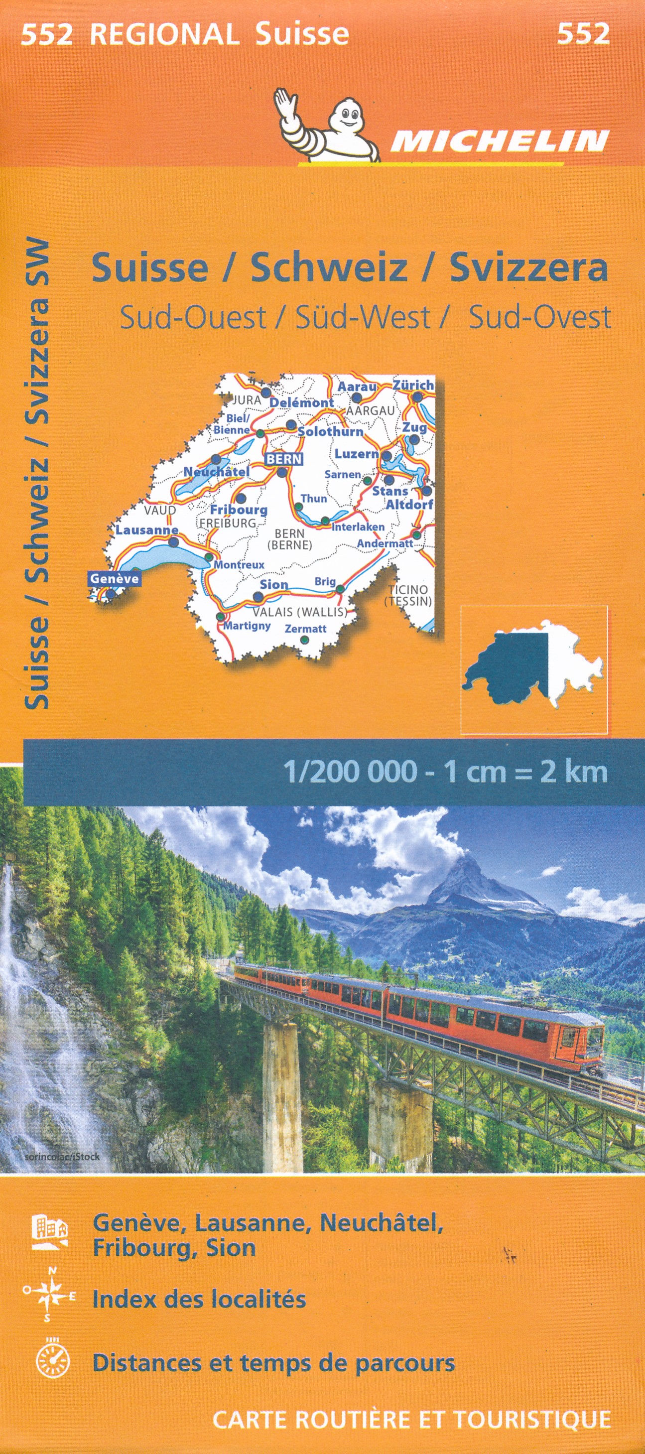
- Wegenkaart - landkaart 552 Zuidwest Zwitserland | Michelin
- Une carte fiable pour parcourir les régions d'Europe Read more
De Zwerver
Netherlands
Netherlands
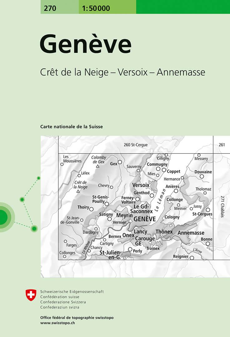
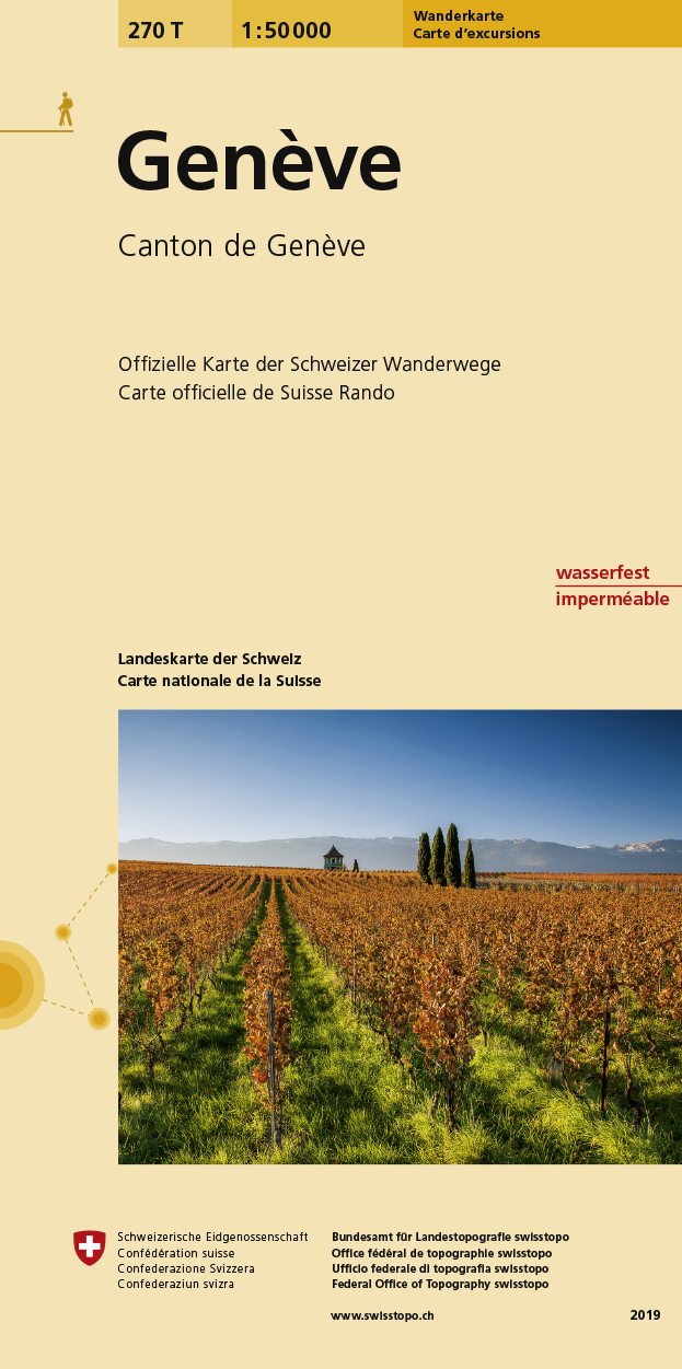
- Wandelkaart - Topografische kaart 270 Genève | Swisstopo
- Geneva, map No. 270, in the standard topographic survey of Switzerland at 1:50,000 from Swisstopo, i.e. without the special overprint highlighting walking trails, local bus stops, etc, presented in Swisstopo Read more
- Also available from:
- Stanfords, United Kingdom

Stanfords
United Kingdom
United Kingdom
- Geneva Swisstopo 270
- Geneva, map No. 270, in the standard topographic survey of Switzerland at 1:50,000 from Swisstopo, i.e. without the special overprint highlighting walking trails, local bus stops, etc, presented in Swisstopo’s hiking editions of the 50K survey. The map covers the south-western tip of Lake Geneva and includes the French territory with Gex and... Read more
De Zwerver
Netherlands
2016
Netherlands
2016
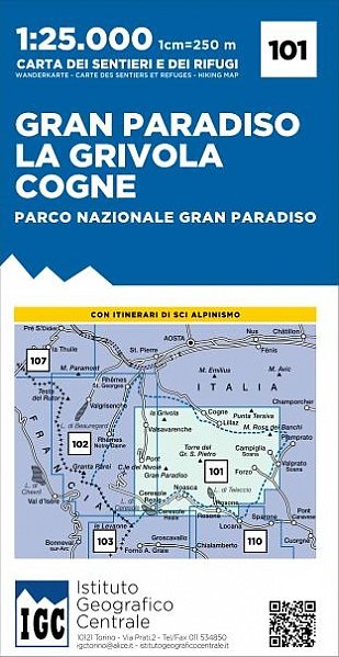
- Wandelkaart 101 Gran Paradiso - La Grivola - Cogne | IGC - Istituto Geografico Centrale
- Gran Paradiso - La Grivola - Cogne area of the Italian Alps at 1:25,000 in a series of contoured, GPS compatible walking maps from the Turin based Istituto Geografico Centrale, highlighting hiking trails including long-distance routes, ski routes and alpine accommodation. Maps in this series have contours at 25m intervals, enhanced by shading... Read more
- Also available from:
- Stanfords, United Kingdom

Stanfords
United Kingdom
2016
United Kingdom
2016
- Gran Paradiso - La Grivola - Cogne IGC 101
- Gran Paradiso - La Grivola - Cogne area of the Italian Alps at 1:25,000 in a series of contoured, GPS compatible walking maps from the Turin based Istituto Geografico Centrale, highlighting hiking trails including long-distance routes, ski routes and alpine accommodation. Maps in this series have contours at 25m intervals, enhanced by shading... Read more
De Zwerver
Netherlands
Netherlands
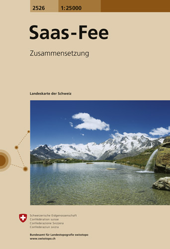
- Wandelkaart - Topografische kaart 2526 Saas - Fee | Swisstopo
- Map No. 2526, Saas-Fee, in the topographic survey of Switzerland at 1:25,000 from Swisstopo, covering the central part of the Mischabel range and both sides of the two adjoining valleys: the Mattertal between Zermatt and St Niklaus and the Saastal from north of Saas-Balen to the Mattmark Reservoir. Please note: Zermatt is at the southern edge... Read more
- Also available from:
- Stanfords, United Kingdom

Stanfords
United Kingdom
United Kingdom
- Saas-Fee Swisstopo 2526
- Map No. 2526, Saas-Fee, in the topographic survey of Switzerland at 1:25,000 from Swisstopo, covering the central part of the Mischabel range and both sides of the two adjoining valleys: the Mattertal between Zermatt and St Niklaus and the Saastal from north of Saas-Balen to the Mattmark Reservoir. Please note: Zermatt is at the southern edge... Read more
De Zwerver
Netherlands
Netherlands
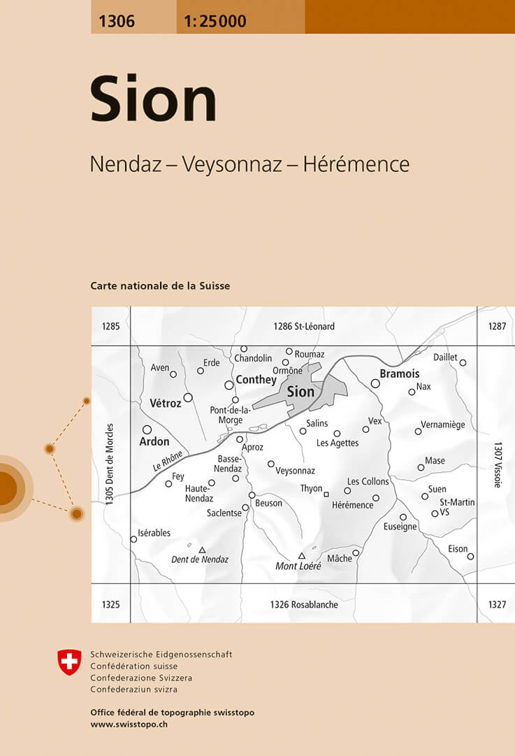
- Wandelkaart - Topografische kaart 1306 Sion | Swisstopo
- Map No. 1306, Sion, in the topographic survey of Switzerland at 1:25,000 from Bundesamt f Read more
- Also available from:
- Stanfords, United Kingdom

Stanfords
United Kingdom
United Kingdom
- Sion Swisstopo 1306
- Map No. 1306, Sion, in the topographic survey of Switzerland at 1:25,000 from Bundesamt für Landestopographie (swisstopo), covering the whole country on 247 small format sheets, with special larger maps published for popular regions including some titles now available in hiking versions.Highly regarded for their superb use of graphic relief and... Read more
De Zwerver
Netherlands
2011
Netherlands
2011
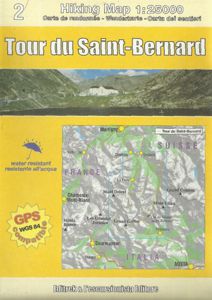
- Wandelkaart TRK02 Tour du Saint-Bernard | L'Escursionista editore
- Tour of Saint-Bernard long-distance hiking route presented on a waterproof and tear-resistant, contoured and GPS compatible map at 1:25,000 published jointly by L Read more
- Also available from:
- Stanfords, United Kingdom

Stanfords
United Kingdom
2011
United Kingdom
2011
- Tour of Saint-Bernard L`Escursionista Editore Map-Guide
- Tour of Saint-Bernard long-distance hiking route presented on a waterproof and tear-resistant, contoured and GPS compatible map at 1:25,000 published jointly by L’Escursionista Editore and Editrek, plus a separate multilingual guide booklet with stage by stage descriptions and other tourist information.Contour interval is 25m and the map has... Read more
De Zwerver
Netherlands
Netherlands
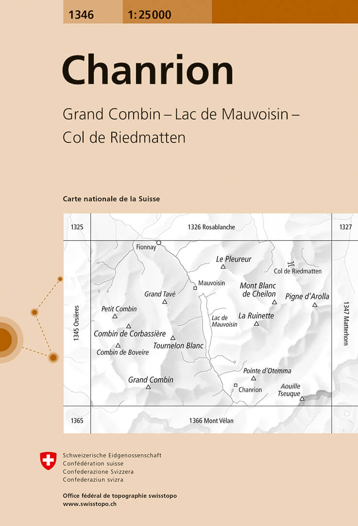
- Wandelkaart - Topografische kaart 1346 Chanrion | Swisstopo
- Map No. 1346, Chanrion, in the topographic survey of Switzerland at 1:25,000 from Bundesamt f Read more
- Also available from:
- Stanfords, United Kingdom

Stanfords
United Kingdom
United Kingdom
- Chanrion Swisstopo 1346
- Map No. 1346, Chanrion, in the topographic survey of Switzerland at 1:25,000 from Bundesamt für Landestopographie (swisstopo), covering the whole country on 247 small format sheets, with special larger maps published for popular regions including some titles now available in hiking versions.Highly regarded for their superb use of graphic relief... Read more
De Zwerver
Netherlands
Netherlands
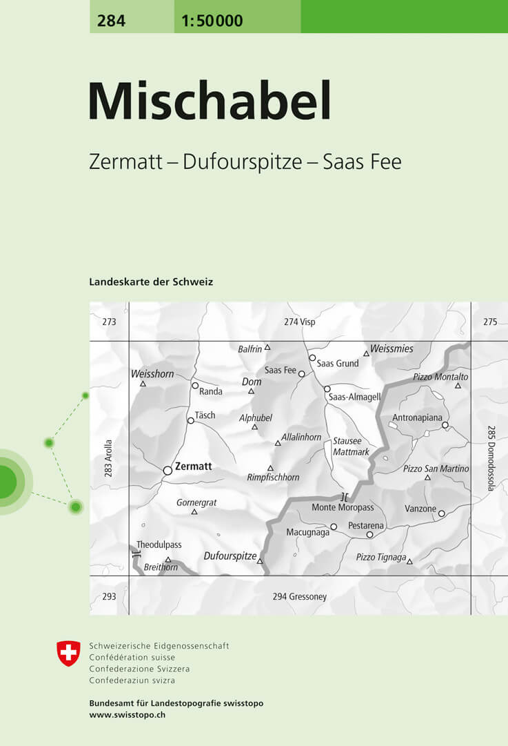
- Wandelkaart - Topografische kaart 284 Mischabel | Swisstopo
- Mischabel, map No. 284, in the standard topographic survey of Switzerland at 1:50,000 from Swisstopo, i.e. without the special overprint highlighting walking trails, local bus stops, etc, presented in Swisstopo Read more
- Also available from:
- Stanfords, United Kingdom

Stanfords
United Kingdom
United Kingdom
- Mischabel Swisstopo 284
- Mischabel, map No. 284, in the standard topographic survey of Switzerland at 1:50,000 from Swisstopo, i.e. without the special overprint highlighting walking trails, local bus stops, etc, presented in Swisstopo’s hiking editions of the 50K survey. The map covers the southern part of the Mattertal with Zermatt and Randa, the Saastal with Saas... Read more

De Zwerver
Netherlands
2012
Netherlands
2012
- Wandelkaart 03 Il parco nazionale del Gran Paradiso | IGC - Istituto Geografico Centrale
- Gran Paradiso National Park in a series contoured hiking maps at 1:50,000 with local trails, long-distance footpaths, mountain accommodation, etc, from the Turin based Istituto Geografico Centrale. This new edition published in late 2013 highlights, among other routes, the GTA (Grande Traversata delle Alpi), Via Alpina and Alta Via 2. Coverage... Read more
- Also available from:
- Stanfords, United Kingdom

Stanfords
United Kingdom
2012
United Kingdom
2012
- Gran Paradiso National Park IGC 3
- Gran Paradiso National Park in a series contoured hiking maps at 1:50,000 with local trails, long-distance footpaths, mountain accommodation, etc, from the Turin based Istituto Geografico Centrale. The map highlights, among other routes, the GTA (Grande Traversata delle Alpi), Via Alpina and Alta Via 2. Coverage extends from Aosta at the top of... Read more
De Zwerver
Netherlands
Netherlands
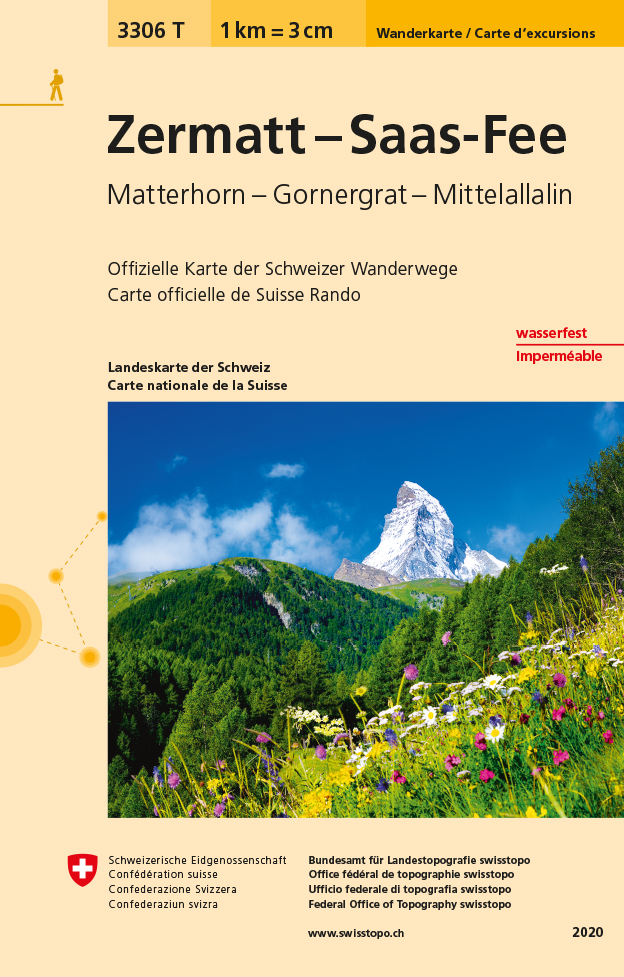
- Wandelkaart - Topografische kaart 3306T Zermatt - Saas - Fee | Swisstopo
- Een nieuwe serie van de Zwitserse topografische dienst: eindelijk goede wandelkaarten met ingetekende wandelroutes op scheur- en watervast papier. Vooralsnog zijn ze uitgebracht van de populaire wandelgebieden en niet landelijk dekkend (zie overzicht) Op een gedetailleerde schaal van 1:33.333 met als ondergrond de onovertroffen topografische... Read more
- Also available from:
- Stanfords, United Kingdom

Stanfords
United Kingdom
United Kingdom
- Zermatt - Saas-Fee - Matterhorn - Gornergrat - Mittelallalin Swisstopo Hiking 3306T
- Zermatt - Saas Fee - Matterhorn - Gornergrat - Mischabel area at 1:33,333 on light, waterproof and tear-resistant map No. 3306T published by Swisstopo in cooperation with the Swiss Hiking Federation. Cartography is the same as in Swisstopo’s 50K hiking maps, simply enlarged to 1:33,333 for extra clarity but without additional information.... Read more
De Zwerver
Netherlands
Netherlands
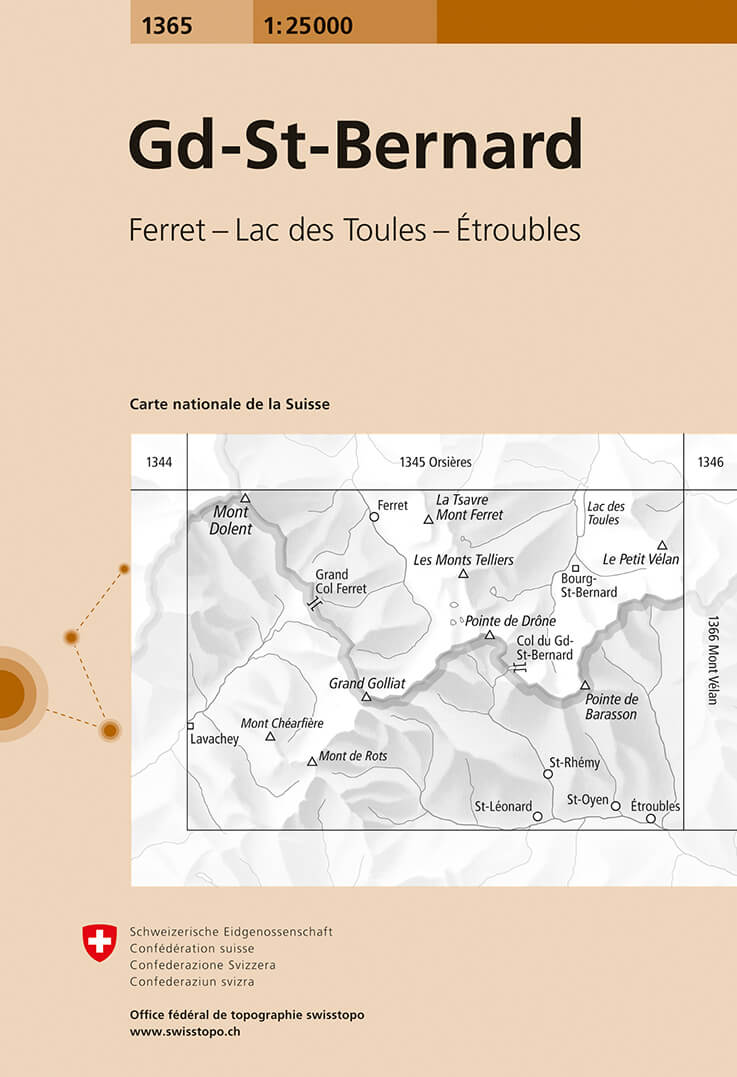
- Wandelkaart - Topografische kaart 1365 Gd-St-Bernard | Swisstopo
- Map No. 1365, Grand St-Bernard, in the topographic survey of Switzerland at 1:25,000 from Swisstopo. Coverage extends from Mont Dolent in the west to the peak of Petit V Read more
- Also available from:
- Stanfords, United Kingdom

Stanfords
United Kingdom
United Kingdom
- Gd St-Bernard Swisstopo 1365
- Map No. 1365, Grand St-Bernard, in the topographic survey of Switzerland at 1:25,000 from Swisstopo. Coverage extends from Mont Dolent in the west to the peak of Petit Vélan in the east and includes on the Swiss side the upper part of Val Ferret; the map includes road approaches to the Grand St-Bernard tunnel on both sides of the border,... Read more

De Zwerver
Netherlands
2012
Netherlands
2012
- Wandelkaart 20 Il Monferrato da Asti a Casale Monferrato | IGC - Istituto Geografico Centrale
- Il Monferrato, map no. 20, in a series contoured hiking maps at 1:50,000 with local trails, long-distance footpaths, mountain accommodation, etc. from the Turin based Istituto Geografico Centrale covering the Italian Alps and Piedmont, the lakes and northern Lombardy, and the Italian Riviera.The maps have contours at 50m intervals, enhanced by... Read more
- Also available from:
- Stanfords, United Kingdom

Stanfords
United Kingdom
2012
United Kingdom
2012
- Il Monferrato: Asti - Casale Monferrato 50K IGC Map No. 20
- The Monferrato region of Piedmont east of Turin, between Asti and Casale Monferrato, in a series contoured hiking maps at 1:50,000 with local trails, long-distance footpaths, mountain accommodation, etc. from the Turin based Istituto Geografico Centrale. This title also shows local cycle routes.Maps in this series have contours at 50m... Read more
De Zwerver
Netherlands
Netherlands
- Wandelkaart 270T Genève | Swisstopo
- Geneva area, map No. 270T, at 1:50,000 in a special hiking edition of the country Read more
- Also available from:
- Stanfords, United Kingdom

Stanfords
United Kingdom
United Kingdom
- Geneva Swisstopo Hiking 270T
- Geneva area, map No. 270T, at 1:50,000 in a special hiking edition of the country’s topographic survey, published by Swisstopo in cooperation with the Swiss Hiking Federation. The map covers the south-western tip of Lake Geneva and includes the French territory with Gex and Crête de la Neige, the highest peak in the Jura mountains.Cartography,... Read more
De Zwerver
Netherlands
2011
Netherlands
2011
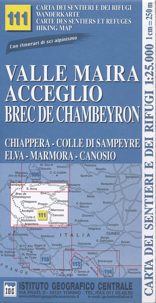
- Wandelkaart 111 Valle Maira, Acceglio, monte Chambeyron | IGC - Istituto Geografico Centrale
- Valle Maira - Acceglio area at 1:25,000 in a series of contoured, GPS compatible walking maps from the Turin based Istituto Geografico Centrale, highlighting hiking trails including long-distance routes, ski routes and alpine accommodation. The maps have contours at 25m intervals, enhanced by shading and graphic relief for very clear... Read more
- Also available from:
- Stanfords, United Kingdom

Stanfords
United Kingdom
2011
United Kingdom
2011
- Valle Maira - Acceglio 25K IGC Map No. 111
- Valle Maira - Acceglio area at 1:25,000 in a series of contoured, GPS compatible walking maps from the Turin based Istituto Geografico Centrale, highlighting hiking trails including long-distance routes, ski routes and alpine accommodation. Maps in this series have contours at 25m intervals, enhanced by shading and graphic relief for very clear... Read more
De Zwerver
Netherlands
Netherlands
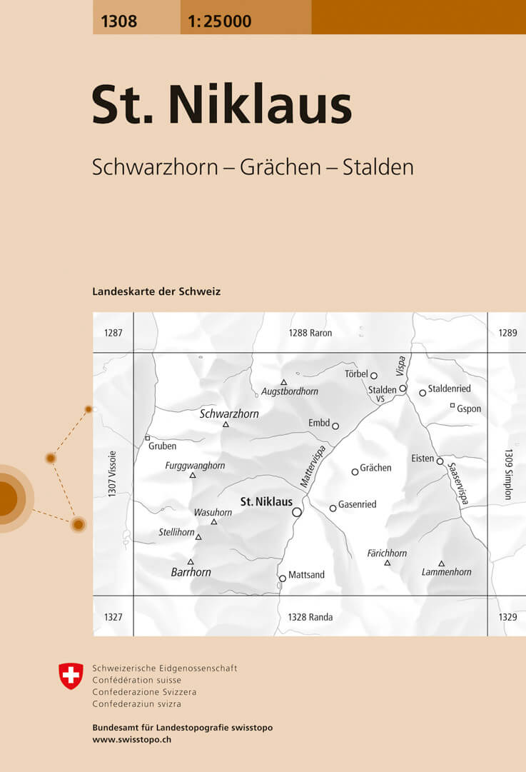
- Wandelkaart - Topografische kaart 1308 St. Niklaus | Swisstopo
- Map No. 1308, St. Niklaus, in the topographic survey of Switzerland at 1:25,000 from Bundesamt f Read more
- Also available from:
- Stanfords, United Kingdom

Stanfords
United Kingdom
United Kingdom
- St. Niklaus Swisstopo 1308
- Map No. 1308, St. Niklaus, in the topographic survey of Switzerland at 1:25,000 from Bundesamt für Landestopographie (swisstopo), covering the whole country on 247 small format sheets, with special larger maps published for popular regions including some titles now available in hiking versions.Highly regarded for their superb use of graphic... Read more