
Appalachian Trail
Beschrijving
- Name Appalachian Trail (AT)
- Lengte van pad 3,476 km, 2,160 mijl
- Lengte in dagen 180 dagen
- Traildino graad SW, Inspannende wandeling, bergpad
- Huttentrektocht graad T2, Bergtocht
 The Appalachian Trail is the oldest and most famous long distance hike in the U.S. It follows the Appalachian mountain range through 14 eastern states. An estimated 10,000 thru-hikers have finished the Appalachian Trail. It is possible to thru-hike it in one season. The 2160 miles (3480 km) can be completed in 47 days, 13 hours and 31 minutes (Andrew Thompson did it in 2005).
Kaart


Links
Feiten
Verslagen
Gidsen en kaarten
Overnachting
Organisaties
Reisorganisaties
GPS
Anders
Boeken

De Zwerver
Netherlands
2018
Netherlands
2018
- Wandelgids USA: Appalachian Trail | Conrad Stein Verlag
- Handzame overzichtsgids van deze geweldige en uitdagende lange afstands wandeling in het oosten van de USA: de Appalachian Trail. Het is een ideale gids om de hele tocht voor te bereiden en als basisgids bij je te hebben. Goede beschrijvingen van etappes en veel praktische informatie. Het enige wat mager is zijn dekaarten: goed voor overzicht... Read more

De Zwerver
Netherlands
Netherlands

Bol.com
Netherlands
Netherlands
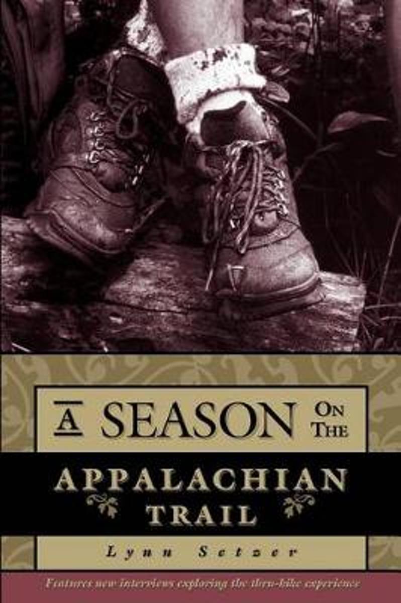
- A Season on the Trail
- Each spring, a group of people attempt a thru-hike of the Appalachian Trail. Setzer follows these determined hikers from Georgia to Maine. In this new edition, hikers reveal five years later how their experiences on the Trail changed their lives. Read more
- Also available from:
- Bol.com, Belgium
Bol.com
Belgium
Belgium
- A Season on the Trail
- Each spring, a group of people attempt a thru-hike of the Appalachian Trail. Setzer follows these determined hikers from Georgia to Maine. In this new edition, hikers reveal five years later how their experiences on the Trail changed their lives. Read more
Bol.com
Netherlands
Netherlands
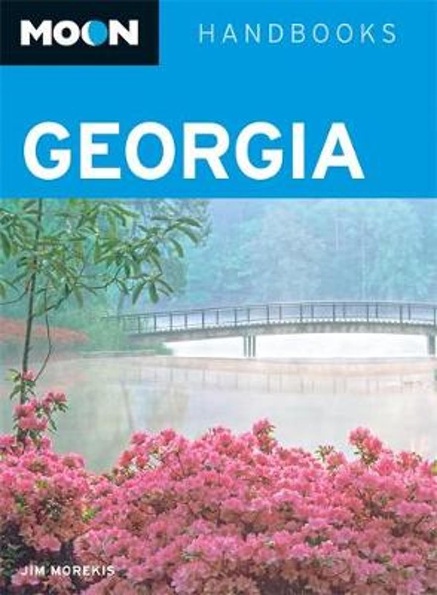
- Moon Georgia (Seventh Edition)
- Savannah native Jim Morekis offers an insiders view of Georgia, whether its playing a round of golf on Jekyll Island or hiking up the Appalachian Trail. Morekis provides unique trip ideas for all interests, including Mountains to Marsh (as well as Musical Georgia, Presidents Tour, and Literary Georgia). Packed with information on dining,... Read more
- Also available from:
- Bol.com, Belgium
Bol.com
Belgium
Belgium
- Moon Georgia (Seventh Edition)
- Savannah native Jim Morekis offers an insiders view of Georgia, whether its playing a round of golf on Jekyll Island or hiking up the Appalachian Trail. Morekis provides unique trip ideas for all interests, including Mountains to Marsh (as well as Musical Georgia, Presidents Tour, and Literary Georgia). Packed with information on dining,... Read more
Bol.com
Netherlands
Netherlands
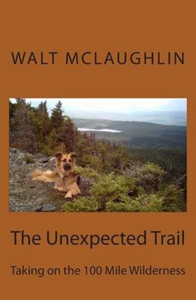
- The Unexpected Trail
- The 100 Mile Wilderness, located in the immense forest of northern Maine, is the most remote section of the Appalachian Trail. With a German shepherd dog named Matika for company and a heavy backpack tugging at his shoulders, McLaughlin accepts the challenge, reveling in all the hardship that the North Woods has to offer. He reflects upon the... Read more
- Also available from:
- Bol.com, Belgium
Bol.com
Belgium
Belgium
- The Unexpected Trail
- The 100 Mile Wilderness, located in the immense forest of northern Maine, is the most remote section of the Appalachian Trail. With a German shepherd dog named Matika for company and a heavy backpack tugging at his shoulders, McLaughlin accepts the challenge, reveling in all the hardship that the North Woods has to offer. He reflects upon the... Read more

Bol.com
Netherlands
Netherlands
- Over the Top & Back Again
- Book of the Year Bronze Award 2010 (travel essays category), ForeWord Magazine After hiking some of the world's great trails, Brandon Wilson was excited to hear about the Via Alpina, paths running across eight countries on the backbone of the Alps. Besides promising immersion into Alpine life and wilderness, it was the ultimate adventure. It... Read more
- Also available from:
- Bol.com, Belgium
Bol.com
Belgium
Belgium
- Over the Top & Back Again
- Book of the Year Bronze Award 2010 (travel essays category), ForeWord Magazine After hiking some of the world's great trails, Brandon Wilson was excited to hear about the Via Alpina, paths running across eight countries on the backbone of the Alps. Besides promising immersion into Alpine life and wilderness, it was the ultimate adventure. It... Read more
Bol.com
Netherlands
Netherlands
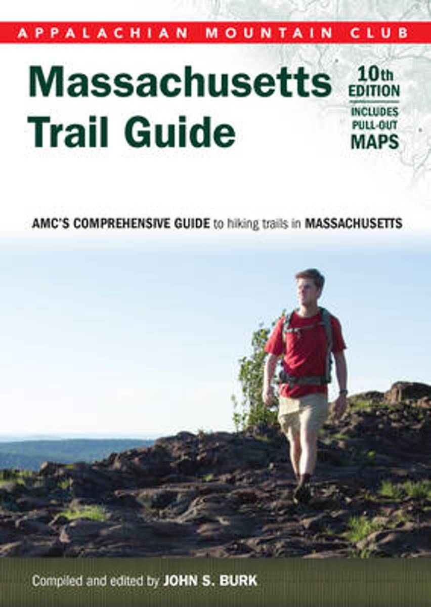
- Massachusetts Trail Guide
- This tenth edition of the Appalachian Mountain Club s trusted trail guide revisits beloved trails across the Bay State, from the Appalachian Trail in the Berkshires to Cape Cod s Warner Trail. In print for more than 50 years, this comprehensive collection will help readers navigate more than 390 trails including 30 new to this edition and newly... Read more
- Also available from:
- Bol.com, Belgium
Bol.com
Belgium
Belgium
- Massachusetts Trail Guide
- This tenth edition of the Appalachian Mountain Club s trusted trail guide revisits beloved trails across the Bay State, from the Appalachian Trail in the Berkshires to Cape Cod s Warner Trail. In print for more than 50 years, this comprehensive collection will help readers navigate more than 390 trails including 30 new to this edition and newly... Read more

Bol.com
Netherlands
Netherlands
- Best of the Appalachian Trail
- Victoria Logue appears as principal author on the previous edition's published title page. Read more
- Also available from:
- Bol.com, Belgium
- The Book Depository, United Kingdom
Bol.com
Belgium
Belgium
- Best of the Appalachian Trail
- Victoria Logue appears as principal author on the previous edition's published title page. Read more

The Book Depository
United Kingdom
United Kingdom
- Best of the Appalachian Trail: Overnight Hikes
- Overnight Hikes Read more
Bol.com
Netherlands
Netherlands
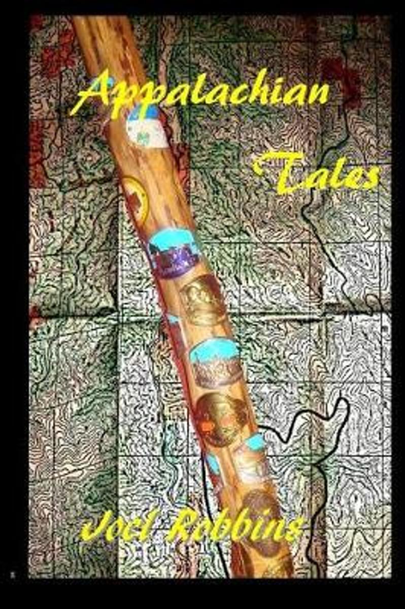
- Appalachian Tales
- Theres no such thing as hiking alone. Trekkers enjoy the people they walk with, whether theyre real or in their fantasies. Theres only one AT, and its personalitypain, loneliness, victories, fear, over stimulationare not as indelible as the characters that hike it. With trail names, which are mandatory, such as Pokey Man, Mall Monster,... Read more
- Also available from:
- Bol.com, Belgium
Bol.com
Belgium
Belgium
- Appalachian Tales
- Theres no such thing as hiking alone. Trekkers enjoy the people they walk with, whether theyre real or in their fantasies. Theres only one AT, and its personalitypain, loneliness, victories, fear, over stimulationare not as indelible as the characters that hike it. With trail names, which are mandatory, such as Pokey Man, Mall Monster,... Read more

Bol.com
Netherlands
Netherlands
- Wide Sky, Narrow Path
- A modern pilgrimage of passages through the heights and depths of solitude and companionship, the Appalachian Trail thru-hike is a journey into the soul as much as through the mountains. In this inspirational collection of vignettes and refl ections on life through the eyes of a hiker, the sky overhead represents the limitless opportunities of... Read more
- Also available from:
- Bol.com, Belgium
Bol.com
Belgium
Belgium
- Wide Sky, Narrow Path
- A modern pilgrimage of passages through the heights and depths of solitude and companionship, the Appalachian Trail thru-hike is a journey into the soul as much as through the mountains. In this inspirational collection of vignettes and refl ections on life through the eyes of a hiker, the sky overhead represents the limitless opportunities of... Read more
Bol.com
Netherlands
Netherlands
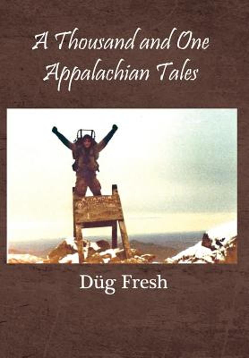
- A Thousand and One Appalachian Tales
- In the spring of 01988, while struggling to deal with great tragedy and loss, Airman Page found himself at a crossroads. Honorably discharged from the Military in Texas, and in his civilian guise as D g Fresh, he decided to walk home from Georgia via the world-famous Appalachian Trail. Told in two parts, book one shares the travails of his... Read more
- Also available from:
- Bol.com, Belgium
Bol.com
Belgium
Belgium
- A Thousand and One Appalachian Tales
- In the spring of 01988, while struggling to deal with great tragedy and loss, Airman Page found himself at a crossroads. Honorably discharged from the Military in Texas, and in his civilian guise as D g Fresh, he decided to walk home from Georgia via the world-famous Appalachian Trail. Told in two parts, book one shares the travails of his... Read more
De Zwerver
Netherlands
Netherlands
- Also available from:
- Bol.com, Netherlands
- Bol.com, Belgium
Bol.com
Netherlands
Netherlands
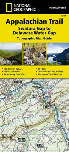
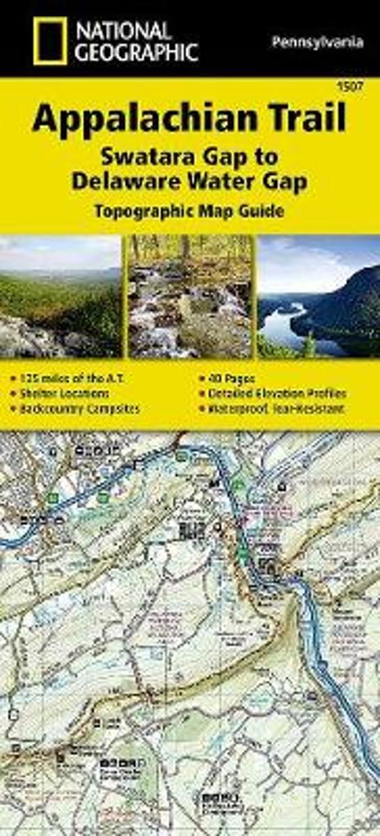
- Appalachian Trail, Swatara Gap To Delaware Water Gap, Pennsylvania
- Waterproof Tear-Resistant Topographic Map GuideThe Swatara Gap to Delaware Water Gap Topographic Map Guide makes a perfect traveling companion when traversing the northeastern Pennsylvania section of the Appalachian Trail (A.T.). The trail in this section of Pennsylvania primarily travels across flat, rocky ridges mixed with strenuous... Read more
Bol.com
Belgium
Belgium
- Appalachian Trail, Swatara Gap To Delaware Water Gap, Pennsylvania
- Waterproof Tear-Resistant Topographic Map GuideThe Swatara Gap to Delaware Water Gap Topographic Map Guide makes a perfect traveling companion when traversing the northeastern Pennsylvania section of the Appalachian Trail (A.T.). The trail in this section of Pennsylvania primarily travels across flat, rocky ridges mixed with strenuous... Read more

Bol.com
Netherlands
Netherlands
- Laufen. Essen. Schlafen.
- Als Christine Th rmer gek ndigt wird, beschlie t sie, sich eine Auszeit zu nehmen und auf dem Pacific Crest Trail von Mexiko nach Kanada zu wandern 4277 Kilometer. Eigentlich unsportlich, bricht sie zu ihrem Abenteuer auf und schafft es tats chlich bis ans Ziel. Und sie geht weiter, l uft den Continental Divide Trail und den Appalachian... Read more
- Also available from:
- Bol.com, Belgium
Bol.com
Belgium
Belgium
- Laufen. Essen. Schlafen.
- Als Christine Th rmer gek ndigt wird, beschlie t sie, sich eine Auszeit zu nehmen und auf dem Pacific Crest Trail von Mexiko nach Kanada zu wandern 4277 Kilometer. Eigentlich unsportlich, bricht sie zu ihrem Abenteuer auf und schafft es tats chlich bis ans Ziel. Und sie geht weiter, l uft den Continental Divide Trail und den Appalachian... Read more
Bol.com
Netherlands
2016
Netherlands
2016
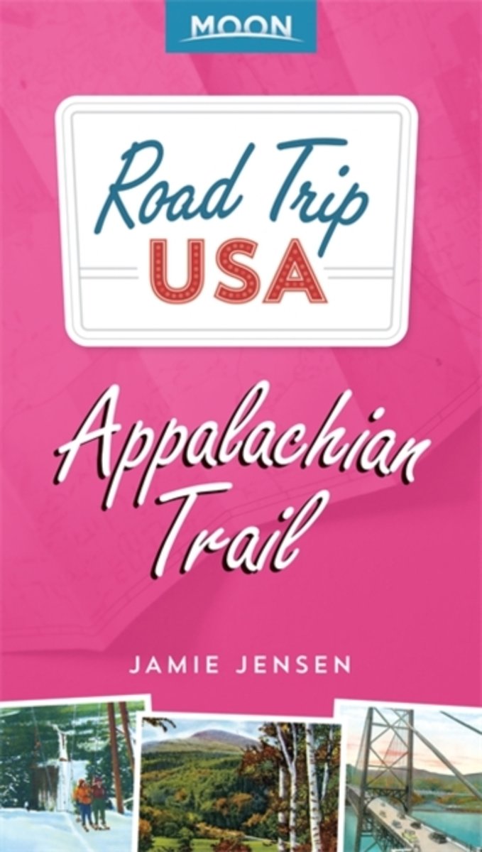
- Road Trip USA
- Professional traveler Jamie Jensen traveled more than 400,000 miles to bring you the best-selling travel guideRoad Trip USA. In this focused tour of the Appalachian Trail, Jensen highlights major cities, obscure towns, popular attractions, roadside curiosities, historic sites, and oddball trivia. This driving route parallels the hiking trail,... Read more
- Also available from:
- Bol.com, Belgium
Bol.com
Belgium
2016
Belgium
2016
- Road Trip USA
- Professional traveler Jamie Jensen traveled more than 400,000 miles to bring you the best-selling travel guideRoad Trip USA. In this focused tour of the Appalachian Trail, Jensen highlights major cities, obscure towns, popular attractions, roadside curiosities, historic sites, and oddball trivia. This driving route parallels the hiking trail,... Read more
Kaarten

Bol.com
Netherlands
Netherlands
- Springer & Cohutta Mountains, Chattahoochee National Forest
- Waterproof Tear-Resistant Topographic MapLocated just north of Atlanta, the Chattahoochee National Forest contains the southern terminus of the Appalachian Trail along with an abundance of recreational opportunities for outdoor enthusiasts of all interests.This detailed recreation map contains carefully researched trails, campsites,... Read more
- Also available from:
- Bol.com, Belgium
- Stanfords, United Kingdom
Bol.com
Belgium
Belgium
- Springer & Cohutta Mountains, Chattahoochee National Forest
- Waterproof Tear-Resistant Topographic MapLocated just north of Atlanta, the Chattahoochee National Forest contains the southern terminus of the Appalachian Trail along with an abundance of recreational opportunities for outdoor enthusiasts of all interests.This detailed recreation map contains carefully researched trails, campsites,... Read more

Stanfords
United Kingdom
United Kingdom
- Chattahoochee National Forest - Springer and Cohutta Mountains GA/SC 777
- Map No. 777, Chattahoochee National Forest: Springer and Cohutta Mountains, GA/SC, in an extensive series of GPS compatible, contoured hiking maps of USA’s national and state parks or forests and other popular recreational areas. Cartography based on the national topographic survey, with additional tourist information.The maps, with most titles... Read more

De Zwerver
Netherlands
Netherlands
- Wandelkaart - Topografische kaart 318 Mount Rogers High Country - Grayson Highlands State Park | National Geographic
- Prachtige geplastificeerde kaart van het bekende nationaal park. Met alle recreatieve voorzieningen als campsites, maar ook met topografische details en wandelroutes ed. Door uitgekiend kleurgebruik zeer prettig in gebruik. Scheur en watervast! National Geographic's Trails Illustrated map of Mount Rogers High Country and Grayson Highlands... Read more
- Also available from:
- Bol.com, Netherlands
- Bol.com, Belgium
- Stanfords, United Kingdom
- The Book Depository, United Kingdom

Bol.com
Netherlands
Netherlands
- Mount Rogers High Country
- Waterproof Tear-Resistant Topographic MapNational Geographic's Trails Illustrated map of Mount Rogers High Country and Grayson Highlands State Park, Southwest Virginia, is a two-sided, waterproof, topographic trail map designed to meet the needs of outdoor enthusiasts with unmatched durability and detail. This map was created in... Read more
Bol.com
Belgium
Belgium
- Mount Rogers High Country
- Waterproof Tear-Resistant Topographic MapNational Geographic's Trails Illustrated map of Mount Rogers High Country and Grayson Highlands State Park, Southwest Virginia, is a two-sided, waterproof, topographic trail map designed to meet the needs of outdoor enthusiasts with unmatched durability and detail. This map was created in... Read more

Stanfords
United Kingdom
United Kingdom
- Mount Rogers High Country VA
- Map No. 318 - Mount Rogers High Country in Virginia in an extensive series of GPS compatible, contoured hiking maps of USA’s national and state parks or forests and other popular recreational areas. Cartography based on the national topographic survey, with additional tourist information.The maps, with most titles now printed on light,... Read more

The Book Depository
United Kingdom
United Kingdom
- Mount Rogers High Country
- Trails Illustrated Other Rec. Areas Read more

De Zwerver
Netherlands
Netherlands
- Wandelkaart - Topografische kaart 747 Green Mountain National Forest North - Moosalamoo NRA - Rutland | National Geographic
- Prachtige geplastificeerde kaart van het bekende nationaal park. Met alle recreatieve voorzieningen als campsites, maar ook met topografische details en wandelroutes ed. Door uitgekiend kleurgebruik zeer prettig in gebruik. Scheur en watervast! National Geographic's Green Mountain National Forest North Trails Illustrated topographic map is... Read more
- Also available from:
- Bol.com, Netherlands
- Bol.com, Belgium
- Stanfords, United Kingdom
- The Book Depository, United Kingdom

Bol.com
Netherlands
Netherlands
- Green Mountains N.F., Moosalamoo NRA/Rutland
- Waterproof Tear-Resistant Topographic MapNational Geographic's Green Mountain National Forest North Trails Illustrated topographic map is the most comprehensive available for outdoor enthusiasts of all types. Designed to be easy-to-read, yet highly detailed this map includes a comprehensive road and trail network distinguishing between... Read more
Bol.com
Belgium
Belgium
- Green Mountains N.F., Moosalamoo NRA/Rutland
- Waterproof Tear-Resistant Topographic MapNational Geographic's Green Mountain National Forest North Trails Illustrated topographic map is the most comprehensive available for outdoor enthusiasts of all types. Designed to be easy-to-read, yet highly detailed this map includes a comprehensive road and trail network distinguishing between... Read more

Stanfords
United Kingdom
United Kingdom
- Green Mountain National Forest - Moosalamoo NRA - Rutland VT
- Map No. 747, Green Mountain National Forest: Moosalamoo NRA - Rutland area in Vermont, in an extensive series of GPS compatible, contoured hiking maps of USA’s national and state parks or forests and other popular recreational areas. Cartography based on the national topographic survey, with additional tourist information.The maps, with most... Read more

The Book Depository
United Kingdom
United Kingdom
- Green Mountains N.f., Moosalamoo Nra/rutland
- Trails Illustrated Other Rec. Areas Read more

De Zwerver
Netherlands
Netherlands
- Wandelkaart - Topografische kaart 316 Cades Cove - Elkmont - Great Smoky Mountains National Park | National Geographic
- Prachtige geplastificeerde kaart van het bekende nationaal park. Met alle recreatieve voorzieningen als campsites, maar ook met topografische details en wandelroutes ed. Door uitgekiend kleurgebruik zeer prettig in gebruik. Scheur en watervast! This title provides an increased scale of one of the most visited National Parks in the US, and one... Read more
- Also available from:
- Bol.com, Netherlands
- Bol.com, Belgium
- Stanfords, United Kingdom

Bol.com
Netherlands
Netherlands
- Cades Cove/elkmont, Great Smoky Mountains National Park
- Waterproof Tear-Resistant Topographic MapThis title provides an increased scale of one of the most visited National Parks in the US, and one of our more popular map titles. This increased scale will provide greater detail to the backcountry users and Appalachian Trail through-hikers.Park Introduction:Great Smoky Mountains National Park is... Read more
Bol.com
Belgium
Belgium
- Cades Cove/elkmont, Great Smoky Mountains National Park
- Waterproof Tear-Resistant Topographic MapThis title provides an increased scale of one of the most visited National Parks in the US, and one of our more popular map titles. This increased scale will provide greater detail to the backcountry users and Appalachian Trail through-hikers.Park Introduction:Great Smoky Mountains National Park is... Read more

Stanfords
United Kingdom
United Kingdom
- Cades Cove - Elkmont - Great Smoky Mountains National Park NC/TN
- Map No. 316, Great Smoky Mountains National Park: Cades Cove - Elkmont, NC/TN, in an extensive series of GPS compatible, contoured hiking maps of USA’s national and state parks or forests and other popular recreational areas. Cartography based on the national topographic survey, with additional tourist information.The maps, with most titles now... Read more