
Hessen
Beschrijving
Paden in deze landsdeel
- Aar HöhenwegGPX
- AlemannenwegGPX
- Badener Weg
- Barbarossaweg GPX
- BonifatiuswegGPX
- BorgmannwegGPX
- Burgenweg Bergstrasse
- Burgundenweg
- BurgwaldpfadGPX
- Diemelsteig
- E1GPX
- E6GPX
- E8GPX
- Eder HöhenwegGPX
- ElisabethpfadGPX
- EselswegGPX
- Frankenweg Odenwald
- Frankfurter GrünGürtel Rundwanderweg
- Frau HollepfadGPX
- Fränkischer Rotwein WanderwegGPX
- FuldahöhenwegGPX
- HansawegGPX
- HerkuluswegGPX
- Hessenweg 1GPX
- Hessenweg 10GPX
- Hessenweg 11GPX
- Hessenweg 2GPX
- Hessenweg 3GPX
- Hessenweg 4GPX
- Hessenweg 5GPX
- Hessenweg 6GPX
- Hessenweg 7GPX
- Hessenweg 8GPX
- Hessenweg 9GPX
- KellerwaldsteigGPX
- Lahn Dill BerglandpfadGPX
- LöwenwegGPX
- LulluspfadGPX
- MärchenlandwegGPX
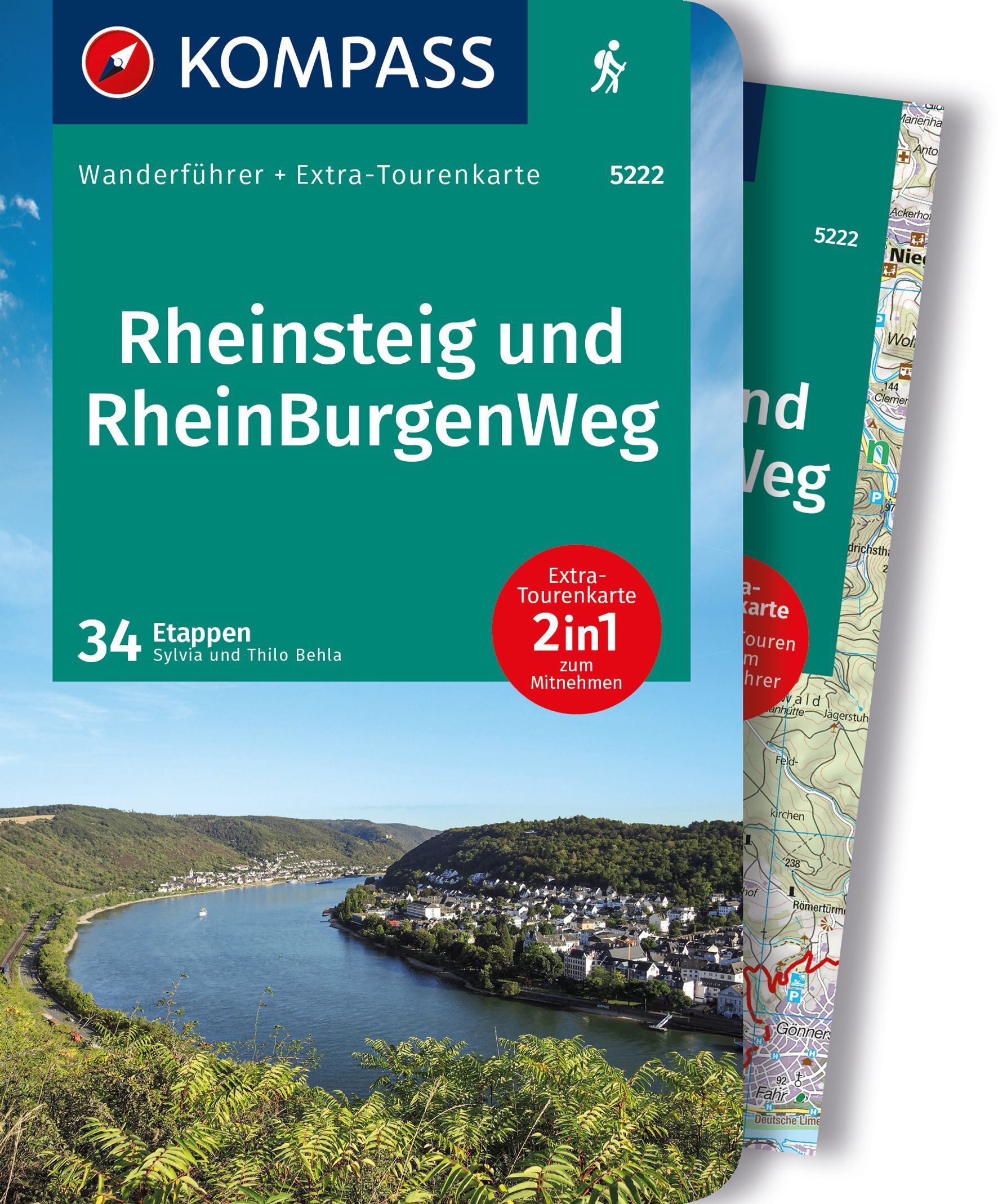
- RheinburgenwegGPX
- Rheingauer Riesling Routen
- RheinhöhenwegGPX
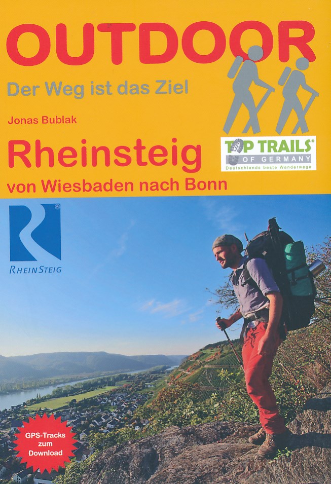
- RheinsteigGPX
- RothaarsteigGPX
- SchinderhannespfadGPX
- StudentenpfadGPX
- Taunus HöhenwegGPX
- Taunus-Rhön-WegGPX
- UplandsteigGPX
- Urwaldsteig EderseeGPX
- Vogelsberger Vulkansteig
- Vulkanring VogelsbergGPX
- Wanderweg der Deutschen EinheitGPX
- WesterwaldsteigGPX
- WildbahnGPX
Links
Feiten
Verslagen
Gidsen en kaarten
Overnachting
Organisaties
Reisorganisaties
GPS
Anders
Boeken


De Zwerver
Netherlands
2022
Netherlands
2022

De Zwerver
Netherlands
2017
Netherlands
2017
- Wandelgids 411 Kautokeino - Nordkap E1 | Conrad Stein Verlag
- Handzaam boekje met de routebeschrijving inclusief een heleboel praktische informatie. De beschrijving is uitstekend, maar kaarten zijn wat beperkt. Duits. Die 330 km lange Wanderung auf dem E1 von Kautokeino zum Nordkap ist ein unvergessliches Wanderabenteuer. In 15 Etappen laufen Sie durch die Wildnis Nordnorwegens und überqueren die... Read more
De Zwerver
Netherlands
2023
Netherlands
2023
De Zwerver
Netherlands
2013
Netherlands
2013
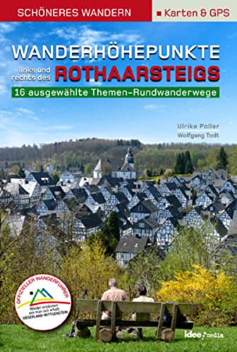
- Wandelgids Wanderhöhepunkte rechts und links des Rothaarsteigs | IdeeMedia
- 12 traumhafte neue Rundtouren im Siegerland. Neuerscheinung. Read more

De Zwerver
Netherlands
2017
Netherlands
2017
- Wandelgids Elisabethpfad von Eisenach nach Marburg | Conrad Stein Verlag
- Travel & Languages Travel (special interest) Guides (general) International Books Read more
De Zwerver
Netherlands
2019
Netherlands
2019
De Zwerver
Netherlands
2023
Netherlands
2023
De Zwerver
Netherlands
2011
Netherlands
2011
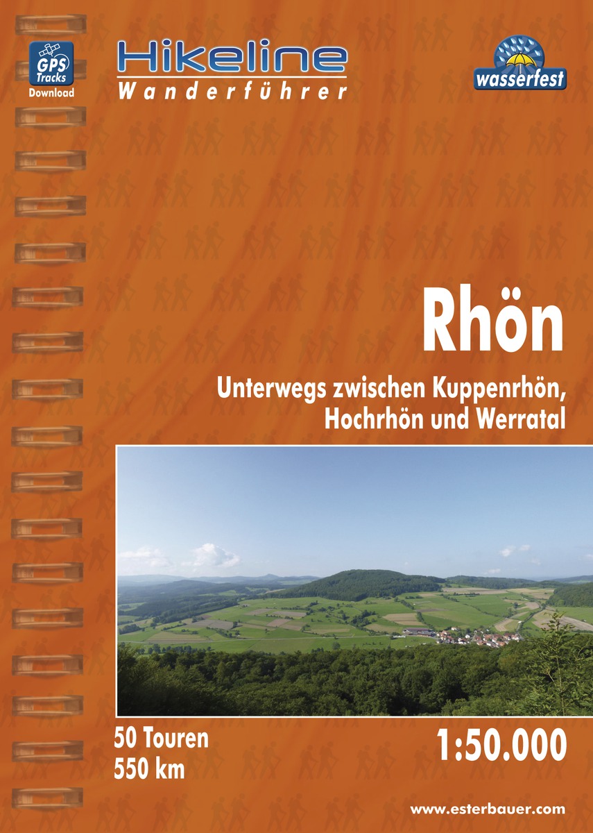
- Wandelgids Hikeline Rhön | Esterbauer
- Handzame gids met een goede beschrijving van een groot aantal dagtochten in dit gebied. De gids is in spiraalbinding en elke pagina is op scheur- en watervast papier gedrukt. Daar is echt over nagedacht! Länge, Höhenmeter Die 50 in diesem Buch beschriebenen Wandertouren sind jeweils zwischen 4 und 20 Kilometer lang, im Durchschnitt sind es... Read more
De Zwerver
Netherlands
2021
Netherlands
2021
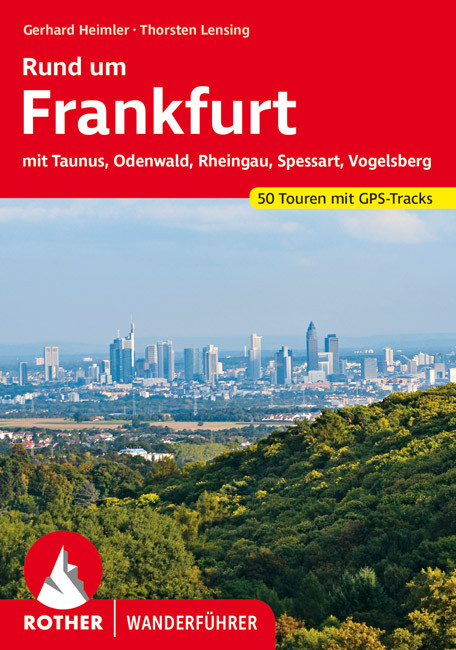
- Wandelgids Rund um Frankfurt | Rother Bergverlag
- mit Taunus, Odenwald, Rheingau, Spessart, Vogelsberg. 50 Touren. Mit GPS-Daten Read more


De Zwerver
Netherlands
2015
Netherlands
2015
- Wandelgids Nibelungensteig | Conrad Stein Verlag
- OutdoorHandbuch. 1. Auflage. Read more
De Zwerver
Netherlands
2010
Netherlands
2010
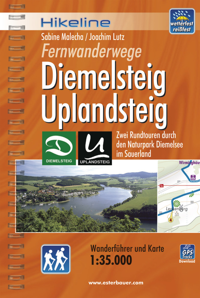
- Wandelgids Hikeline Diemelsteig, Uplandsteig | Esterbauer
- Handzame gids met een goede beschrijving van twee meerdaagse tochten in dit gebied. De gids is in spiraalbinding en elke pagina is op scheur- en watervast papier gedrukt. Daar is echt over nagedacht! Diemelsteig Der Diemelsteig als „jüngstes Kind“ in der Reihe der touristischen Attraktionen im Hochsauerland ist ein lohnender und prämierter... Read more
De Zwerver
Netherlands
2016
Netherlands
2016
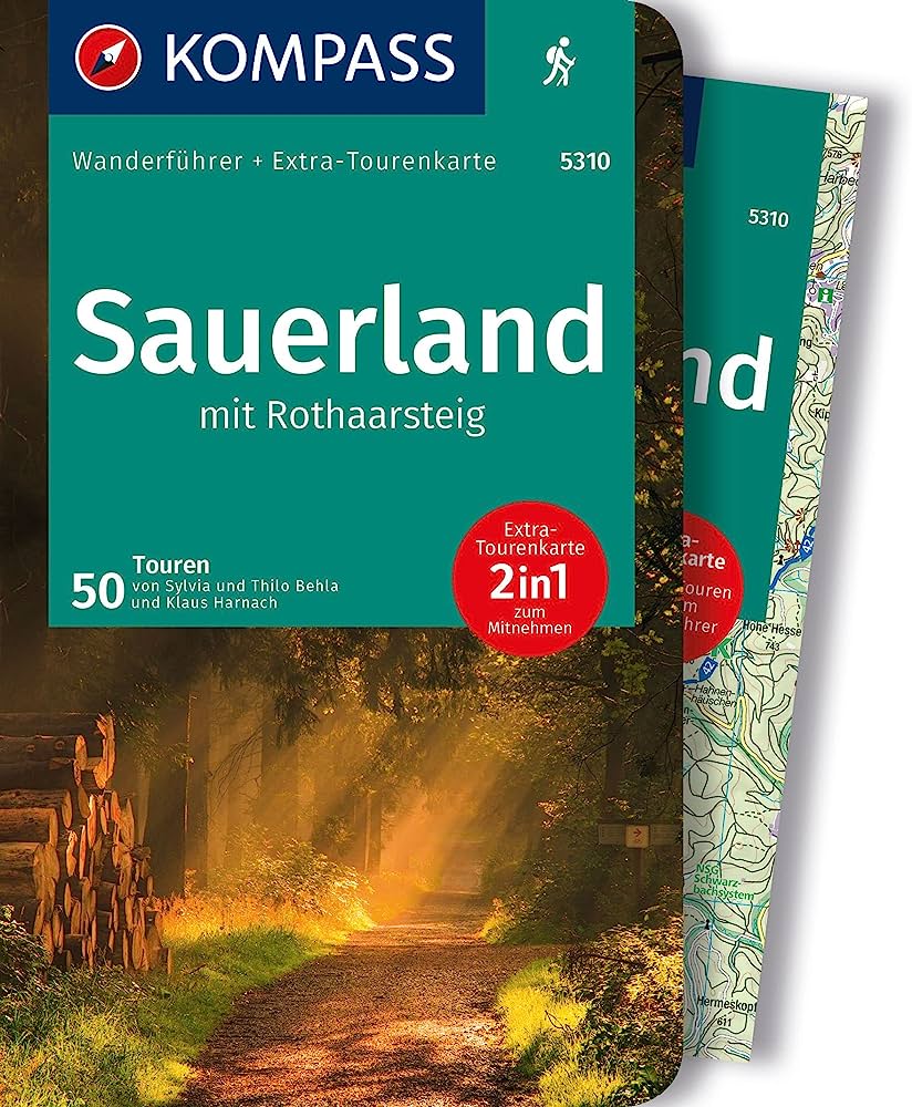
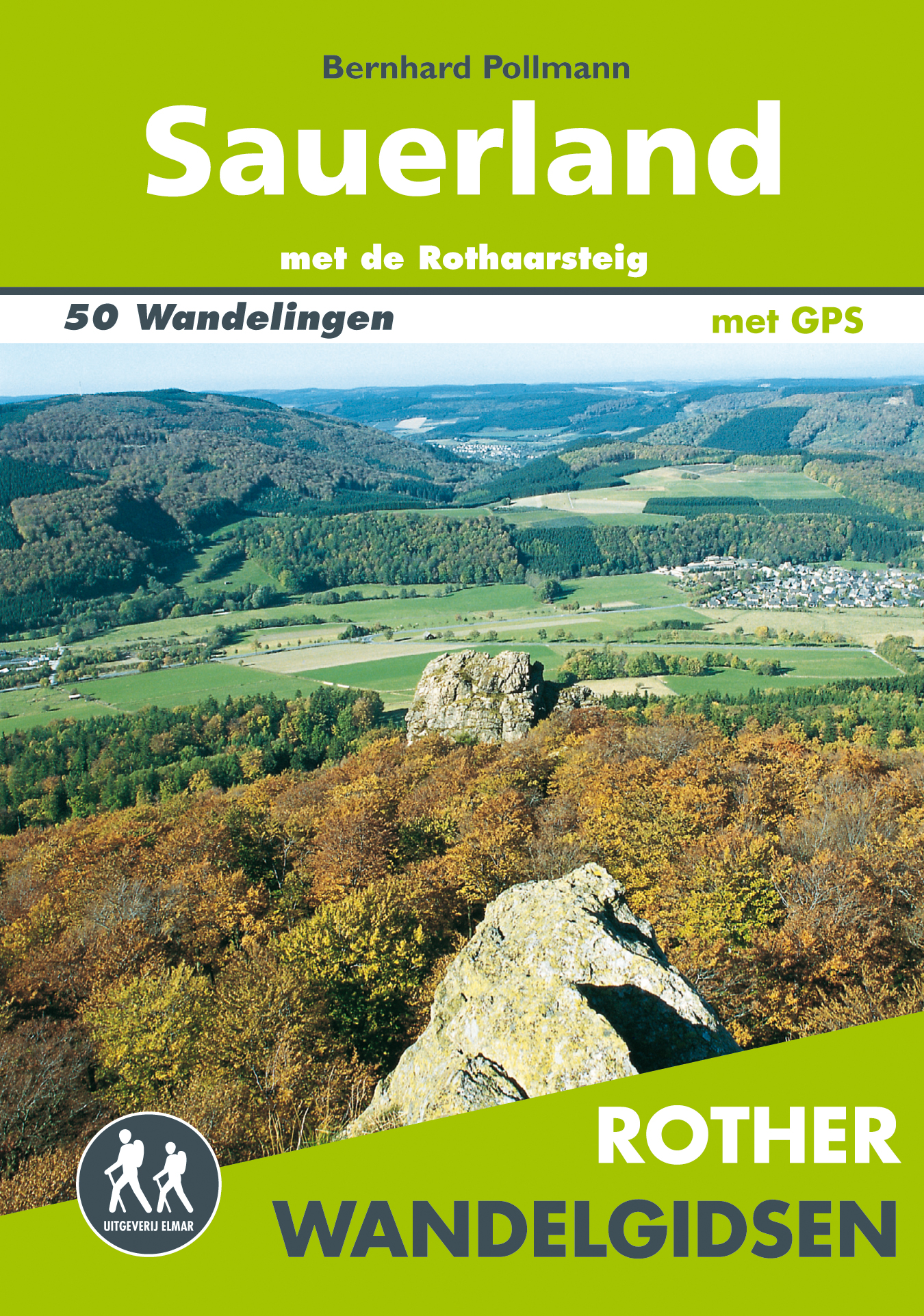
- Wandelgids Sauerland | Uitgeverij Elmar
- met de Rothaarsteig – 50 wandelingen Read more
Meer boeken…
Kaarten
De Zwerver
Netherlands
2018
Netherlands
2018
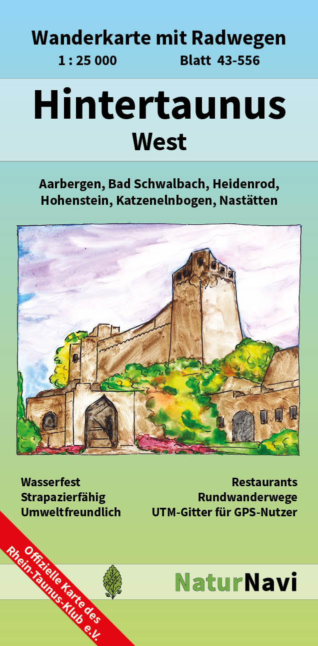
- Wandelkaart 43-556 Hintertaunus West | NaturNavi
- Hintertaunus West 1 : 25 000, Blatt 43-556 ab 9.5 EURO Wanderkarte mit Radwegen, Aarbergen, Bad Schwalbach, Heidenrod, Hohenstein, Katzenelnbogen, Nastätten NaturNavi Wanderkarte mit Radwegen. 1. Auflage Read more
De Zwerver
Netherlands
2021
Netherlands
2021
De Zwerver
Netherlands
Netherlands
De Zwerver
Netherlands
2017
Netherlands
2017
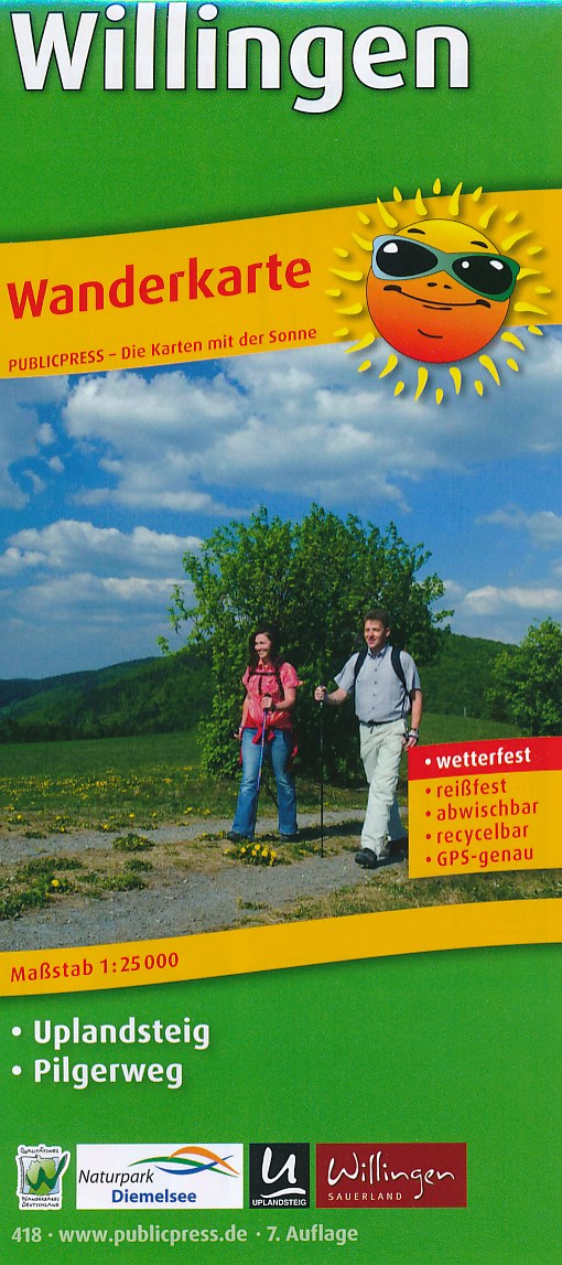
- Wandelkaart 418 Willingen | Publicpress
- Geplastificeerde wandelkaart op goede schaal met ingetekende wandelroutes. Rund um das sauerländische Willingen ist ein anspuchsvoller Fernwanderweg markiert: der Uplandsteig. Im Kartenteil sind ferner viele kürzere Wanderwege gekennzeichnet, die auf der Rückseite informativ vorgestellt werden: Als Ausgangspunkte dienen Orte der Umgebung,... Read more
De Zwerver
Netherlands
Netherlands
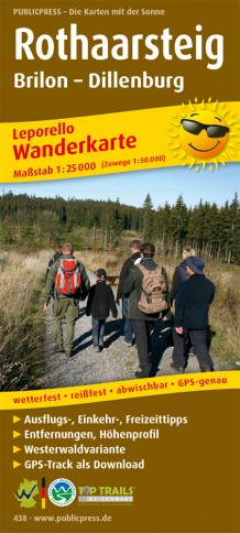
- Wandelkaart Rothaarsteig | Publicpress
- Deze gedetailleerde wandelkaart beschrijft de gelijknamige wandelroute van 154 km lengte over het Rothaargebergte van Brilon tot Dillenburg. Met veel praktische informatie en bezienswaardigheden onderweg beschreven. Erg handig uitgevoerd in water- en scheurvast plastic en in praktisch uitklapformaat! Die Wanderkarte Rothaarsteig präsentiert den... Read more
De Zwerver
Netherlands
Netherlands
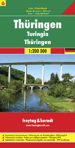
- Wegenkaart - landkaart 06 Thüringen | Freytag & Berndt
- Deutschland 06 Thüringen 1 : 200 000 ab 10.9 EURO Touristische Informationen. Ortsregister mit Postleitzahlen. GPS-tauglich Deutschland Freytag & Berndt Autokarte. Neuauflage Read more

De Zwerver
Netherlands
Netherlands
- Wandelkaart 2 Stara Planina gebergte | Domino
- Stara Planina Central: Uzana to Vratnik map at 1:50,000 from Bulgarian publishers Domino, contoured and GPS compatible, with hiking trails, accommodation options including a list of local mountain refuges, etc. The map is double-sided and covers the mountains from just west of the Uzana massif, the geographical centre of Bulgaria, eastwards to... Read more
- Also available from:
- Stanfords, United Kingdom

Stanfords
United Kingdom
United Kingdom
- Stara Planina Central: Uzana to Vratnik Domino Map
- Stara Planina Central: Uzana to Vratnik map at 1:50,000 from Bulgarian publishers Domino, contoured and GPS compatible, with hiking trails, accommodation options including a list of local mountain refuges, etc. The map is double-sided and covers the mountains from just west of the Uzana massif, the geographical centre of Bulgaria, eastwards to... Read more
De Zwerver
Netherlands
Netherlands
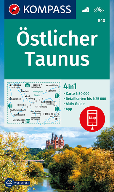
- Wandelkaart 840 Östlicher Taunus | Kompass
- The eastern part of the Taunus Mountain in Hessen on a detailed, GPS compatible map at 1:50,000 from Kompass with local and long-distance footpaths, cycling routes, accommodation, etc, printed on durable, waterproof and tear-resistant synthetic paper.KOMPASS HIKING & RECREATIONAL MAPS: this title is part of an extensive series covering Austria,... Read more
- Also available from:
- Stanfords, United Kingdom

Stanfords
United Kingdom
United Kingdom
- Taunus East Kompass 840
- The eastern part of the Taunus Mountain in Hessen on a detailed, GPS compatible map at 1:50,000 from Kompass with local and long-distance footpaths, cycling routes, accommodation, etc, printed on durable, waterproof and tear-resistant synthetic paper.KOMPASS HIKING & RECREATIONAL MAPS: this title is part of an extensive series covering Austria,... Read more

De Zwerver
Netherlands
2022
Netherlands
2022
De Zwerver
Netherlands
Netherlands
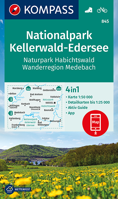
- Wandelkaart 845 Nationalpark Kellerwald-Edersee | Kompass
- Kellerwald National Park - Edersee - Habichtswald Nature Park – Medebach Hiking Region (No. 845), a detailed, GPS compatible map at 1:50,000 from Kompass with local and long-distance footpaths, cycling routes, accommodation, etc, printed on durable, waterproof and tear-resistant synthetic paper. KOMPASS HIKING & RECREATIONAL MAPS:This title is... Read more
- Also available from:
- Stanfords, United Kingdom

Stanfords
United Kingdom
United Kingdom
- NP Kellerwald-Edersee - Habichtswald NP - Medebach Hiking Region Kompass 845
- Kellerwald National Park - Edersee - Habichtswald Nature Park – Medebach Hiking Region (No. 845), a detailed, GPS compatible map at 1:50,000 from Kompass with local and long-distance footpaths, cycling routes, accommodation, etc, printed on durable, waterproof and tear-resistant synthetic paper. KOMPASS HIKING & RECREATIONAL MAPS:This title is... Read more